
Deshima (Dejima - Japan) by Thomas Salmon after Gerrits Voogt. 1736
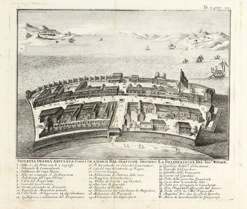
Dejima, or Deshima, was an artificial island off Nagasaki, Japan, that served as a trading post for the Portuguese (1570–1639) and, subsequently, the Dutch (1641–1854). For 220 years, it was the central conduit for foreign trade and cultural exchange with Japan during the isolationist Edo period (1600–1869) and the only Japanese territory open to Westerners.
Isoletta Desima abittata dagli Olandeis nel Giappone secondo la delineazione del Sigr. Voogt.
Item Number: 29892 Authenticity Guarantee
Category: Antique maps > Asia > Japan
Old, antique birds-eye view plan of Deshima (Dejima - Japan) by Thomas Salmon after Gerrits Voogt.
Title: Isoletta Desima abittata dagli Olandeis nel Giappone secondo la delineazione del Sigr. Voogt.
With an extensive key to 40 locations.
Draftsman: Gerrits Voogt.
Date: 1736.
Copper engraving, printed on paper.
Image size (including key): 175 x 195mm (6.89 x 7.68 inches).
Sheet size: 190 x 240mm (7.48 x 9.45 inches).
Verso: Blank.
Condition: Vertical fold as issued, excellent.
Condition Rating: A+.
From: Salmon Thomas, Lo stato presente di tutti I paesi e popoli del mondo naturale, politico e morale, con nuove osservazioni e correzioni degli antichi, e moderni viagiatori. Venezia, Gianbattista Albrizzi, 1736.
Dejima, or Deshima, was an artificial island off Nagasaki, Japan, that served as a trading post for the Portuguese (1570–1639) and, subsequently, the Dutch (1641–1854). For 220 years, it was the central conduit for foreign trade and cultural exchange with Japan during the isolationist Edo period (1600–1869) and the only Japanese territory open to Westerners.
Related items
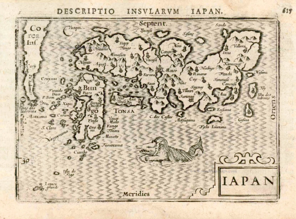
Iapan. 1602
Japan by Langenes, published by Bertius P.
[Item number: 12487]
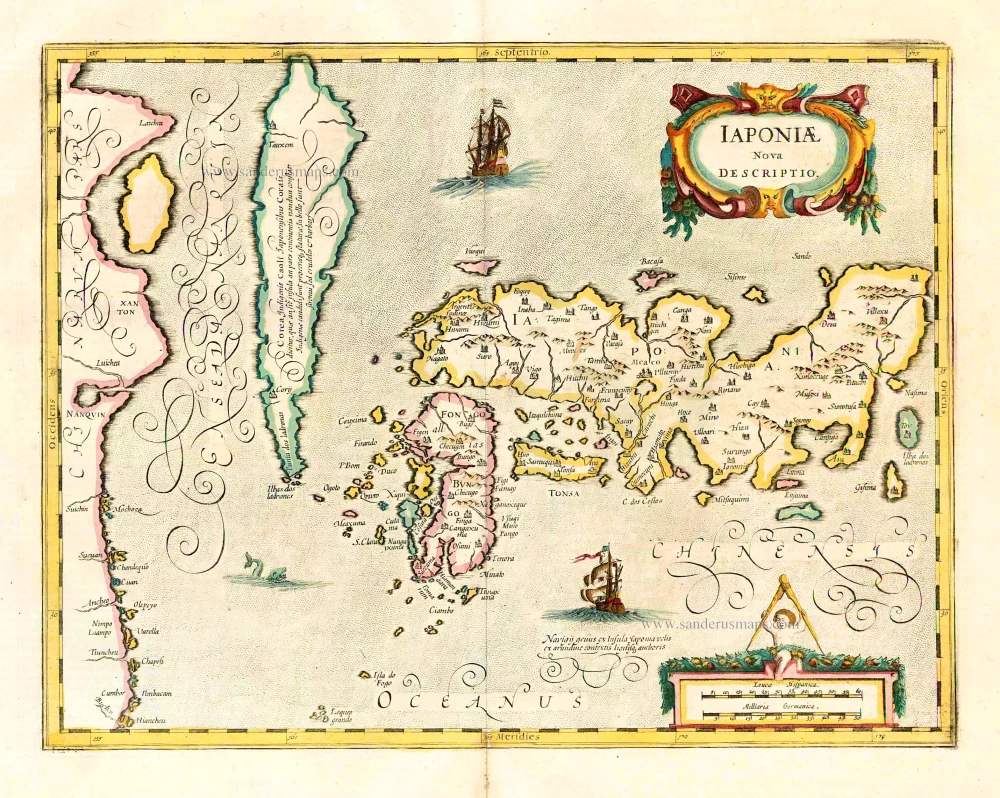
Iaponiae Nova Desciptio. 1641
Japan & Korea by Johannes Janssonius
[Item number: 26441]
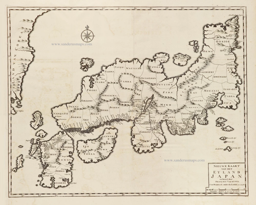
Nieuwe kaart van het Eyland Japan. 1726
Japan by François Valentyn (Valentijn).
[Item number: 26876]
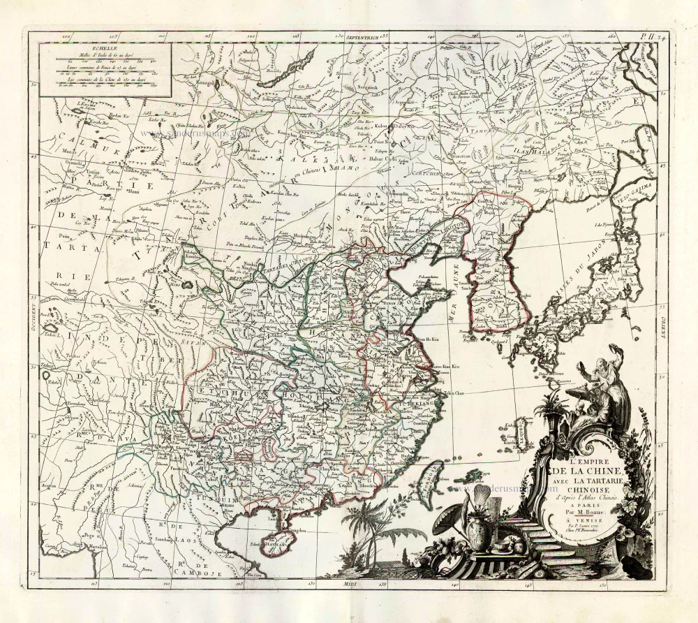
L'Empire de la Chine, avec la Tartarie Chinoise d'après l'Atlas Chinois. 1776-79
China with Korea and Japan, by Paolo Santini.
[Item number: 26974]
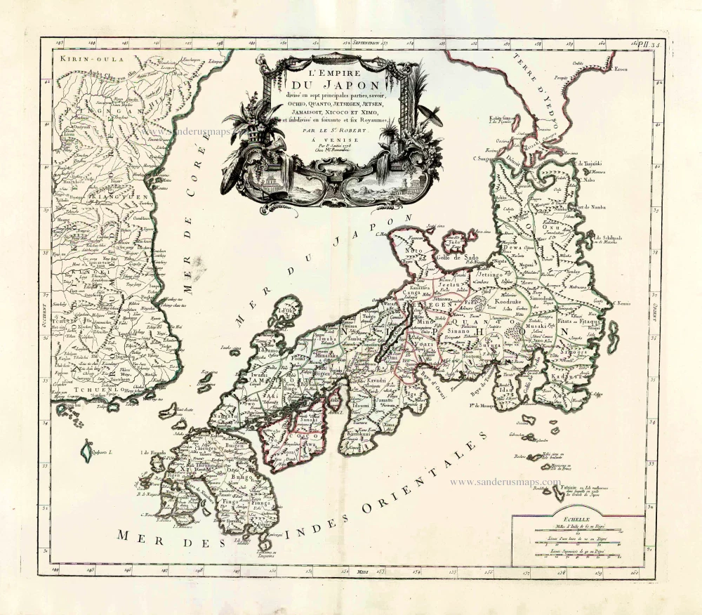
L'Empire du Japon Divisé en sept principales parties, savoir, Ochio, Quanto, Jetsegen, Jetsen, Jamaisoit, Xicoco et Ximo, et subdivisé en soixante et six Royaumes. 1776-79
Japan, by Francesco Santini.
[Item number: 26975]
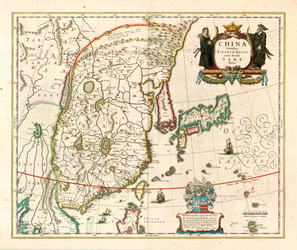
China Veteribus Sinarum Regio Nunc Incolis Tame Dicta. 1649-55
China - Japan - Korea, by Willem & Joan Blaeu.
[Item number: 27043]
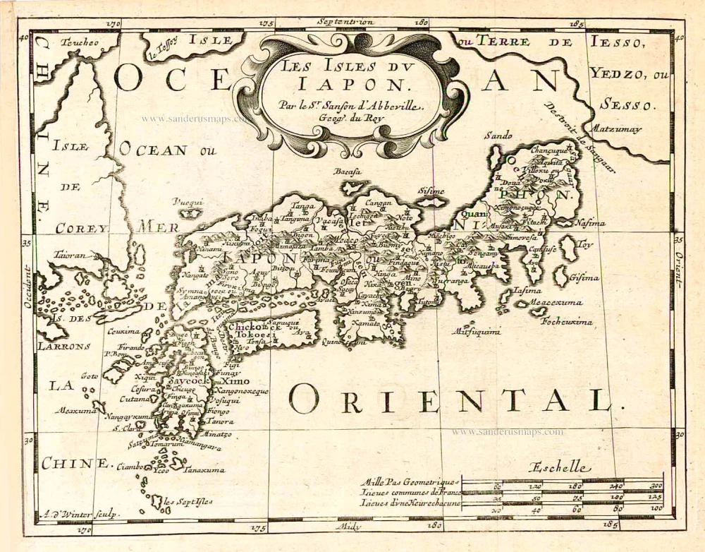
Les Isles du Iapon. 1683
Japan, by Nicolas Sanson.
[Item number: 27081]
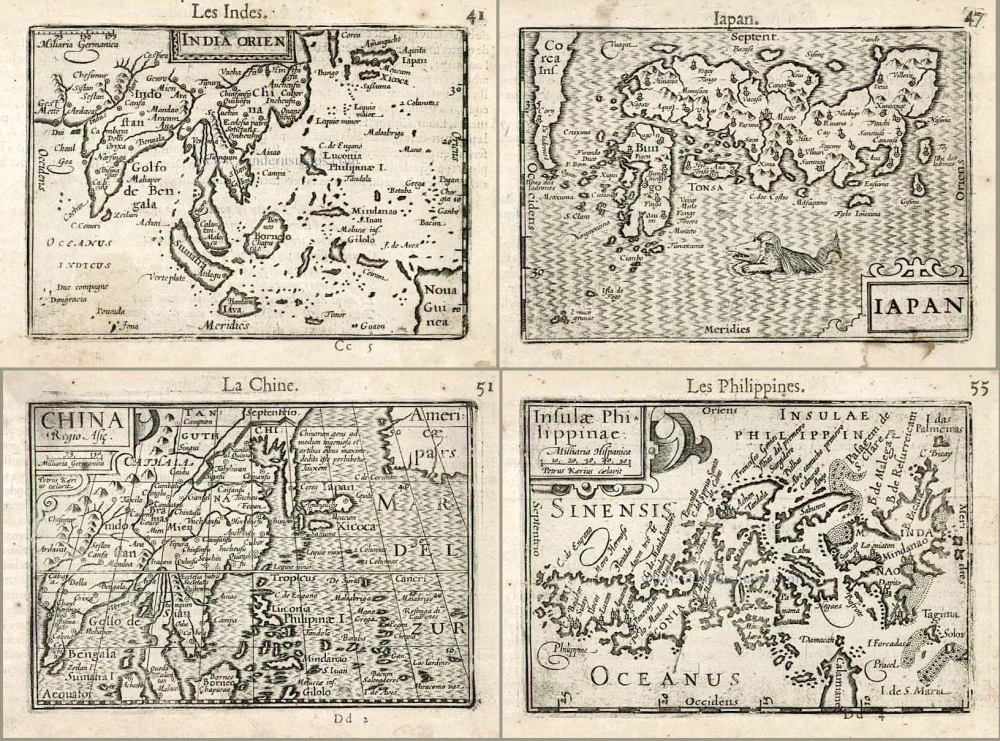
Including the first map of the Philippines.
India Orien. - Iapan. - China. - Insulae Philippinae. 1602
Barent Langenes & Cornelis Claesz.: Southeast Asia, Japan, China, and the Philippines.
[Item number: 27705]

Candia [on sheet with:] Corphu. 1638
Crete - Corfu, by Matthäus Merian.
[Item number: 27982]
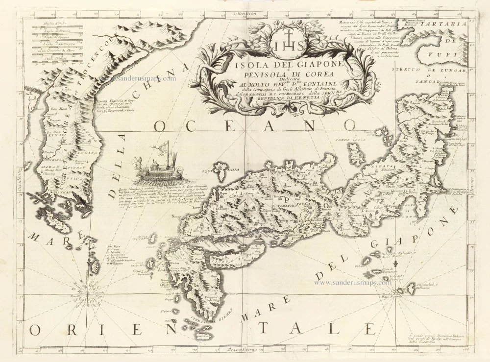
Isola del Giapone e Penisola di Corea. 1696
Japan - Korea by Vincenzo Coronelli.
[Item number: 28757]
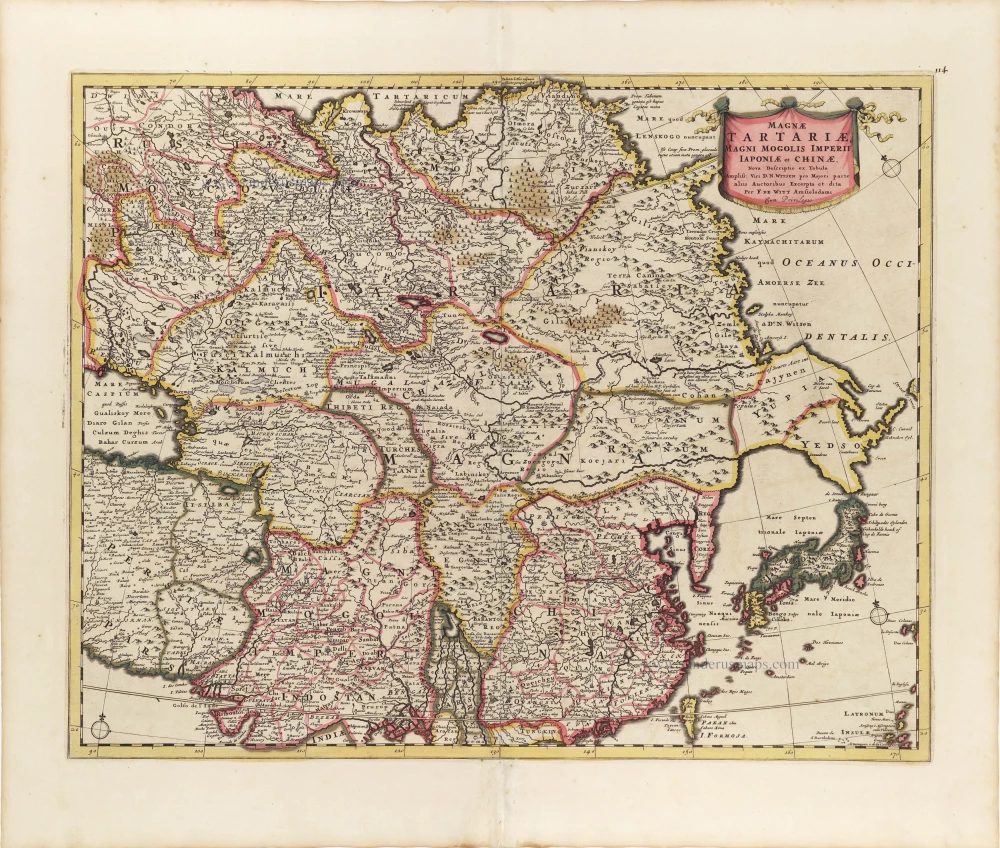
Magnae Tartariae, Magni Mogolis Imperii, Iaponiae et Chinae. ca. 1697-1707
Tartary, China, and Japan, by Frederick de Wit.
[Item number: 28996]
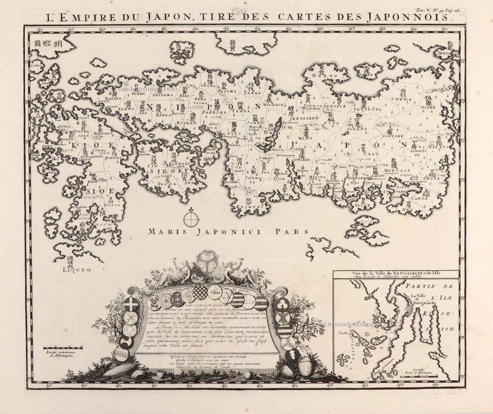
L'Empire du Japon, tiré des Cartes des Japonnois. 1719
Japan, by Z. Châtelain.
[Item number: 29379]
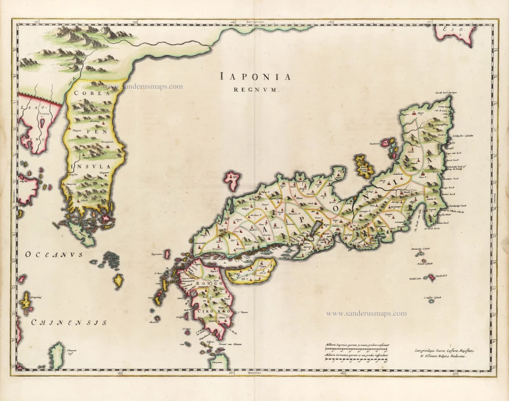
First map to show Korea as a peninsula. Excellent condition.
Iaponia Regnum. 1655-1659
Japan & Korea by Joan Blaeu.
[Item number: 29853]