
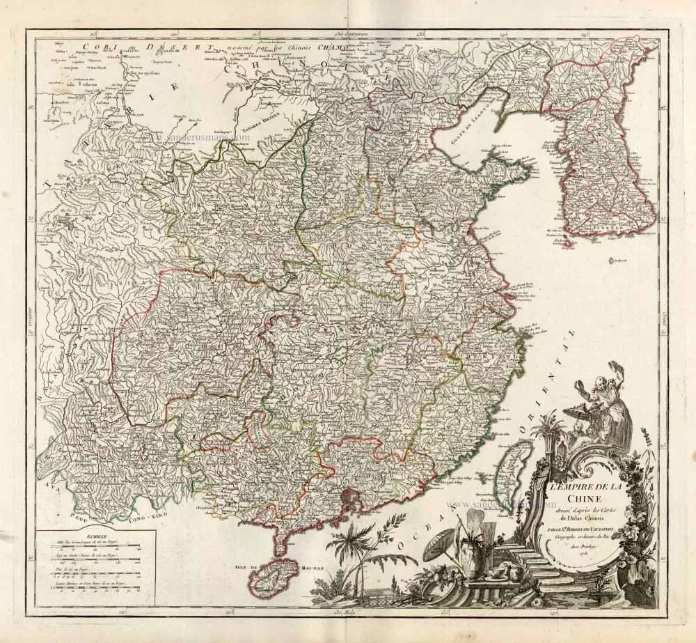
China with Korea and Japan, by Paolo Santini. 1776-79

Francesco and Paolo Santini (c.1729-1793)
Francesco Santini, a Venetian publisher, acquired the printing plates of Vaugondy’s Atlas Universel …, a commercial and cartographic success, with widespread influence on mapmakers throughout Europe. Together with his brother Paolo, he commissioned a new set of plates and reissued the atlas in 1776. The following year, Paolo Santini assigned all his publication rights to M. Remondini, who in 1777 reissued the same atlas but with his name.
L'Empire de la Chine, avec la Tartarie Chinoise d'après l'Atlas Chinois.
Item Number: 26974 Authenticity Guarantee
Category: Antique maps > Asia > China
Old, antique map of China, by Paolo Santini.
Cartographer: Rigobert Bonne
First state with the imprint of Remondini: with engraved page numbers in the top right corner: "P.II.34".
Date of the first edition: 1779
Date of this map: 1779
Copper engraving, printed on paper.
Size (not including margins): 47.5 x 54.5cm (18.5 x 21.3 inches)
Verso: Blank
Condition: Original coloured in outline, excellent.
Condition Rating: A+
From: Atlas Universel dressé sur les meilleures cartes modernes. Venice, Remondini, 1776-79.
Francesco and Paolo Santini (c.1729-1793)
Francesco Santini, a Venetian publisher, acquired the printing plates of Vaugondy’s Atlas Universel …, a commercial and cartographic success, with widespread influence on mapmakers throughout Europe. Together with his brother Paolo, he commissioned a new set of plates and reissued the atlas in 1776. The following year, Paolo Santini assigned all his publication rights to M. Remondini, who in 1777 reissued the same atlas but with his name.
Related items

Imperii Sinarum Nova Descriptio. c. 1680.
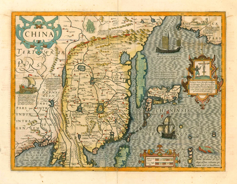
China with Japan, Korea and Taiwan, by J. Janssonius.
[Item number: 2618]
L'Empire de la Chine Dresse d'apres les Cartes de l'Atlas Chinois ... c. 1757
China, by Robert de Vaugondy.
[Item number: 5093]
With Korea as an island.
China 1619
China, Korea and Japan by J. Hondius.
[Item number: 6494]

Nieuwe kaart van het Eyland Japan. 1726
Japan by François Valentyn (Valentijn).
[Item number: 26876]

China Veteribus Sinarum Regio Nunc Incolis Tame Dicta. 1649-55
China - Japan - Korea, by Willem & Joan Blaeu.
[Item number: 27043]

La Chine, Suivant les Nouvelles Observations. 1713
China, by Pieter van der Aa.
[Item number: 27095]

Early 1525 edition
Ta. Superioris Indiae et Tartariae Maioris. 1525
China - Japan, by Lorenz Fries after Martin Waldseemüller.
[Item number: 27928]

Carte du Katay, ou Empire de Kin. 1750
China - Korea by Jacques Nicolas Bellin.
[Item number: 28177]

Carte de l'Entrée de la Rivière de Canton. 1749
Guangzhou (Canton) by Jacques Nicolas Bellin.
[Item number: 28194]

La Chine avec la Korée et les Parties de la Tartarie les plus voisines, 1749
China - Korea by Jacques Nicolas Bellin.
[Item number: 28195]

Isola del Giapone e Penisola di Corea. 1696
Japan - Korea by Vincenzo Coronelli.
[Item number: 28757]
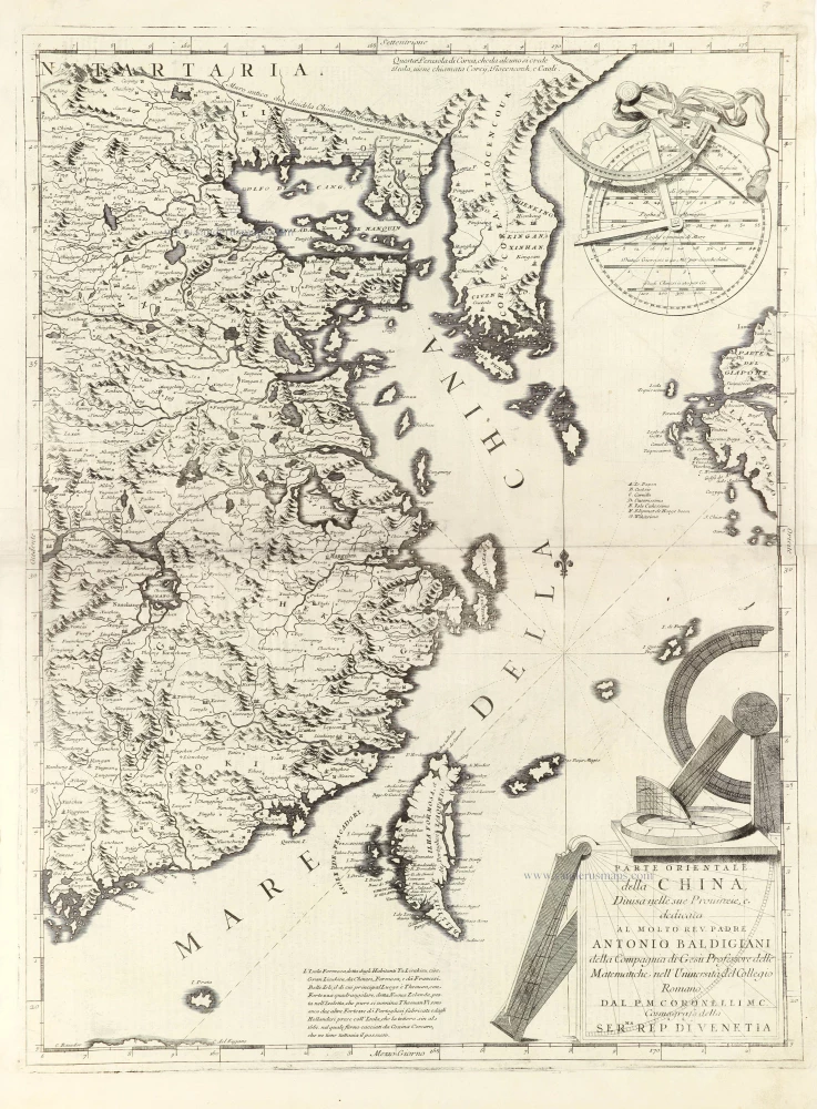
Parte Orientale della China, 1696
Eastern part of China with Korea and Formosa (Taiwan), by Vincenzo Coronelli.
[Item number: 28775]

L'Empire du Japon, tiré des Cartes des Japonnois. 1719
Japan, by Z. Châtelain.
[Item number: 29379]

From the Martini atlas
Imperii Sinarum Nova Descriptio. c. 1691-97
China by Joan Blaeu, published by Frederick de Wit.
[Item number: 29431]

First map to show Korea as a peninsula. Excellent condition.
Iaponia Regnum. 1655-1659
Japan & Korea by Joan Blaeu.
[Item number: 29853]

Royaume de la Chine. 1682
China by Nicolas Sanson, published by Simon de Vries.
[Item number: 30235]

L'Empire de la Chine 1748
China by N. Bellin.
[Item number: 30260]

Important and rare China map.
China Regnum. 1593
China by Cornelis de Jode
[Item number: 30312]

Iaponia. c. 1630-1650
Japan by Jodocus Hondius.
[Item number: 30857]

Rare!
Royaume du Iapon. c. 1658
Japan by Philippe Briet, published by Pierre Mariette.
[Item number: 30911]
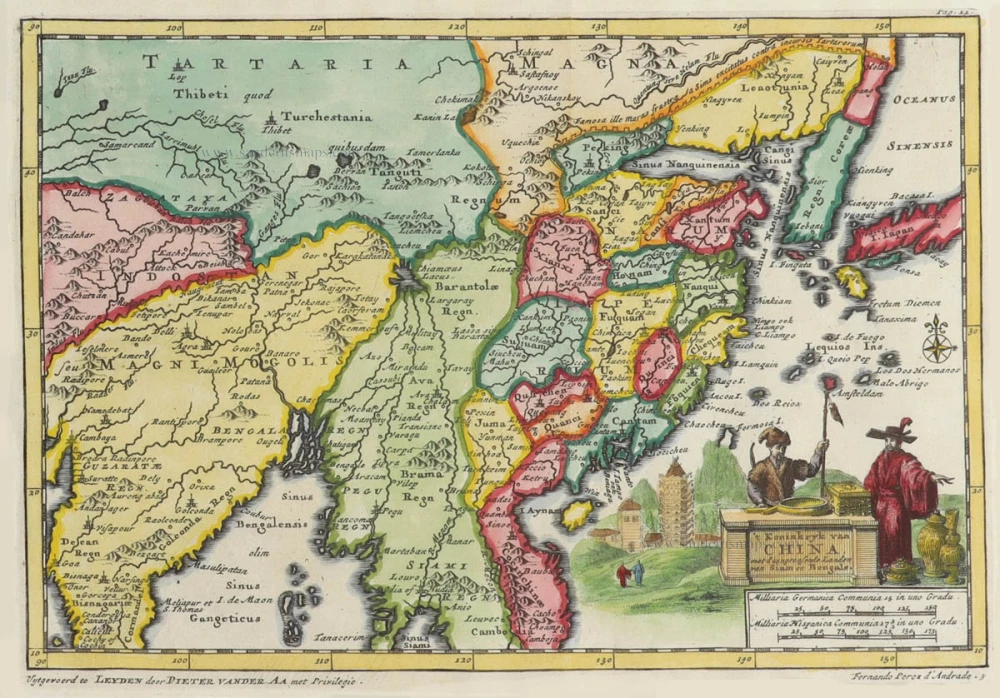
't Koninkryk van China, met d'aangrensende Landen van Siam en Bengale. 1706
China by Pieter Van der Aa.
[Item number: 31842]

Carte des Isles du Japon et la Presqu’ Isle de Corée, avec les Costes de la Chine, depuis Pékin jusqu’à Canton. 1747
Japan - Korea by Jacques-Nicolas Bellin, published by A.F. Prévost.
[Item number: 31880]

Carte du Katay ou Empire de Kin. 1747
Northern China and Korea by Jacques-Nicolas Bellin, published by A.F. Prévost.
[Item number: 31884]

Chinae, Olim Sinarum regionis, nova descriptio. 1584
China by Abraham Ortelius.
[Item number: 32005]

China. 1618
China by Petrus Bertius, published by Jodocus Hondius II.
[Item number: 32151]
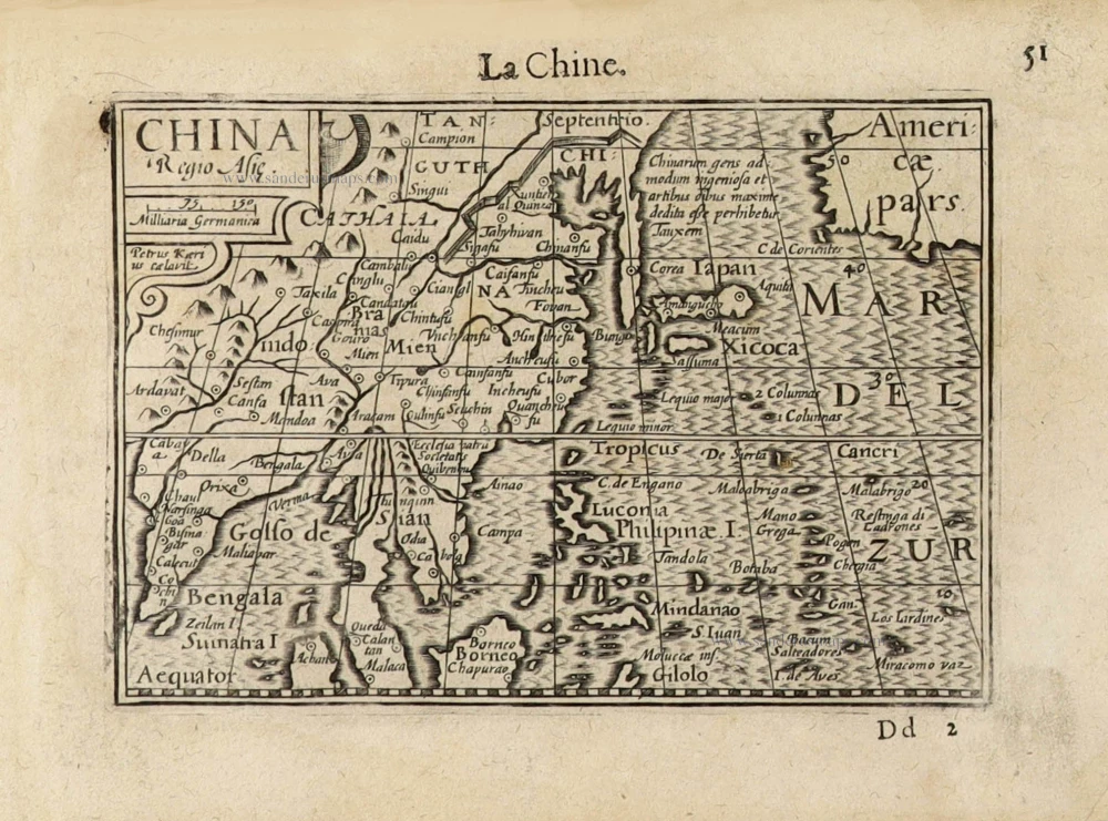
China Regio Asiae. c. 1600
China by Barent Langenes.
[Item number: 32299]

Vue et Description de la Ville de Meaco, Capitale du Japon avec d'autres Particularitez du Pays. 1719
Kyoto - Decima (Japan), by Z. Châtelain.
[Item number: 32303]