
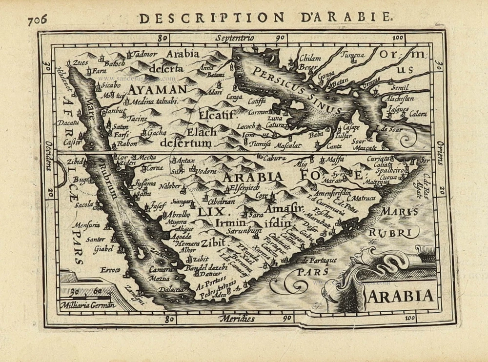
Arabia by Petrus Bertius, published by Jodocus Hondius II. 1618
Petrus Bertius (1565-1629)
Petrus Bertius, born at Beveren, Flanders, in 1565, was related to Pieter van den Keere (Kaerius) and Jodocus Hondius. Both famous cartographers were brothers-in-law of Petrus Bertius. As a refugee, he settled in Amsterdam, and after finishing his studies, he became a professor of mathematics and librarian at the University of Leiden. In 1618, he became a cosmographer and historiographer for Louis XIII of France. He lived in Paris, where he died in 1629.
Petrus Bertius's remarkable work ethic is evident in the numerous geographical and theological works he produced. His contributions to the works of Clüver and Herrera further solidified his reputation in geography.
His fame among geographers was established by his text in the pocket atlas Tabularum Geographicarum and by his edition of Ptolemy’s Geographia.
The origin of the Tabularum Geographicum lies in the well-known miniature atlas Caert thresoor, published by Barent Langenes in 1598 in Middelburg. Bertius engraved 169 maps for this small but attractive atlas, sold for the first time in 1599 by Cornelis Claesz in Amsterdam. In 1600, Claesz published the pocket atlas with a Latin text composed by Petrus Bertius. From then on, new editions, often enlarged with new maps, regularly appeared, subsequently published by Cornelis Claesz, Jodocus Hondius, Johannes Janssonius and ultimately, in 1649, by Claes Jansz. Visscher.
Koeman divides this series of pocketbooks into two atlases: The Caert-thresoor, published by Langenes and Claesz., with five editions between 1598 and 1609, and the Tabularum Geographicarum Contractarum by Petrus Bertius with ten editions between 1600 and 1650.
Arabia
Item Number: 32141 Authenticity Guarantee
Category: Antique maps > Asia > Middle East
Arabia by Petrus Bertius, published by Jodocus Hondius II.
Title: Arabia
Date of the first edition: 1616.
Date of this map: 1618.
Copper engraving, printed on paper.
Image size: 95 x 135mm (3¾ x 5¼ inches).
Sheet size: 120 x 185mm (4¾ x 7¼ inches).
Verso: French text.
Condition: Excellent.
Condition Rating: A+.
From: Bertius P. La Geographie Racourcie de Pierre Bertius. Amsterdam, Jodocus Hondius jr. 1618. (Van der Krogt 3, 342:11)
Petrus Bertius (1565-1629)
Petrus Bertius, born at Beveren, Flanders, in 1565, was related to Pieter van den Keere (Kaerius) and Jodocus Hondius. Both famous cartographers were brothers-in-law of Petrus Bertius. As a refugee, he settled in Amsterdam, and after finishing his studies, he became a professor of mathematics and librarian at the University of Leiden. In 1618, he became a cosmographer and historiographer for Louis XIII of France. He lived in Paris, where he died in 1629.
Petrus Bertius's remarkable work ethic is evident in the numerous geographical and theological works he produced. His contributions to the works of Clüver and Herrera further solidified his reputation in geography.
His fame among geographers was established by his text in the pocket atlas Tabularum Geographicarum and by his edition of Ptolemy’s Geographia.
The origin of the Tabularum Geographicum lies in the well-known miniature atlas Caert thresoor, published by Barent Langenes in 1598 in Middelburg. Bertius engraved 169 maps for this small but attractive atlas, sold for the first time in 1599 by Cornelis Claesz in Amsterdam. In 1600, Claesz published the pocket atlas with a Latin text composed by Petrus Bertius. From then on, new editions, often enlarged with new maps, regularly appeared, subsequently published by Cornelis Claesz, Jodocus Hondius, Johannes Janssonius and ultimately, in 1649, by Claes Jansz. Visscher.
Koeman divides this series of pocketbooks into two atlases: The Caert-thresoor, published by Langenes and Claesz., with five editions between 1598 and 1609, and the Tabularum Geographicarum Contractarum by Petrus Bertius with ten editions between 1600 and 1650.
Related items

De Roode Zee met de Kusten van Arabien; en het Naauw tussen Aden en Zeila tot aan Bassora. 1714
Arabia, by Pieter van der Aa.
[Item number: 26103]

Tabula Asiae VI. 1597
Arabia, by Giovanni Magini.
[Item number: 26519]

Carte de la coste d'Arabie, Mer Rouge, et Golfe du Perse. 1750
Arabia by Jacques Nicolas Bellin.
[Item number: 28188]

Carte Particuliere de l'Egypte, de la Nubie et de l'Abyssinie. 1719
Northeast Africa & Arabia, by Z. Châtelain.
[Item number: 29371]

Ormus Regnum. 1618
Hormus - Persian Gulf by Petrus Bertius, published by Jodocus Hondius II.
[Item number: 32143]

Scarce
De Persiaanze Zee Met de Eylanden Baharem, Queixome en Ormus, tussen Arabie en Persie, tot aan Dio en Suratte. 1707
Persian Gulf - Arabia by Pieter Van der Aa.
[Item number: 32322]

De Persiaanze Zee met d'Eylanden in deselve Tussen de Kusten van Arabie en Persie gelegen tot aan den Indus Vloed De Voorkusten van Guzaratte en Malabaar Tot aan Kaap Komoryn. 1707
Persian Gulf with Southern Arabia, by Pieter Van der Aa.
[Item number: 32348]

Scarce
De Kusten van Arabie, het Roode Meer, en Persize Zee van Bassora voorby t' Nau van Ormus Tot aan den Indus, Guzaratte en Kaap Comorin. 1707
Persian Gulf with Arabia, by Pieter Van der Aa.
[Item number: 32349]