
Northeast Africa & Arabia, by Z. Châtelain. 1719

The Châtelain Family
Zacharias Châtelain (1684-1743) was a bookseller and publisher of Amsterdam. He was succeeded by his sons Zacharias jr and Henry Abraham. The Châtelain family was best known for the historical atlas Atlas Historique, ou nouvelle introduction à l’histoire…, a major work of its time. It was an encyclopaedia in seven volumes, including geography as one of its main subjects. The atlas was published in Amsterdam in seven volumes in various editions with different imprints from 1705 to 1739. An anonym person (Mr. C***) compiled the work with compositions of text, maps, plates and chronological and genealogical tables by Gueudeville, except volume 7, where H.P. Limiers took over this task. The maps were made mainly after the work of Guillaume de l'Isle.
The 1705 edition was published with the imprint “L’Honoré & Châtelain”. Later editions had the imprint: “les Frères Châtelain Libraires” or “L’Honoré & Châtelain Libraires”.
Carte Particuliere de l'Egypte, de la Nubie et de l'Abyssinie.
Item Number: 29371 Authenticity Guarantee
Category: Antique maps > Asia > Middle East
Old, antique map of Northeast Africa & Arabia, by Z. Châtelain.
Title: Carte Particuliere de l'Egypte, de la Nubie et de l'Abyssinie.
Dressée sur les Mémoires les plus Nouveaux, & les Observations les plus exactes.
Tom: VI. N° 3. Pag: 7.
Cartographer: G. de l'Isle.
Date of the first edition: 1719.
Date of this map: 1719.
Copper engraving, printed on paper.
Map size: 400 x 510mm (15.75 x 20.08 inches).
Sheet size: 440 x 535mm (17.32 x 21.06 inches).
Verso: Blank.
Condition: Excellent.
Condition Rating: A+.
From: Châtelain Z. Atlas Historique, ou Nouvelle Introduction A l'Histoire, à la Chronologie & à la Geographie Ancienne & Moderne; ... Tome VI. Qui comprend l'Afrique & l'Amerique Septentrionale & Meridionale, ... A Amsterdam, Chez L'Honoré & Châtelain Libraires, M.DCC.XIX. (1719). (Koeman II, p. 37, Cha7)
The Châtelain Family
Zacharias Châtelain (1684-1743) was a bookseller and publisher of Amsterdam. He was succeeded by his sons Zacharias jr and Henry Abraham. The Châtelain family was best known for the historical atlas Atlas Historique, ou nouvelle introduction à l’histoire…, a major work of its time. It was an encyclopaedia in seven volumes, including geography as one of its main subjects. The atlas was published in Amsterdam in seven volumes in various editions with different imprints from 1705 to 1739. An anonym person (Mr. C***) compiled the work with compositions of text, maps, plates and chronological and genealogical tables by Gueudeville, except volume 7, where H.P. Limiers took over this task. The maps were made mainly after the work of Guillaume de l'Isle.
The 1705 edition was published with the imprint “L’Honoré & Châtelain”. Later editions had the imprint: “les Frères Châtelain Libraires” or “L’Honoré & Châtelain Libraires”.
Related items

Carte de l'Egypte de la Nubie de l'Abissinie &c. ca. 1730.
Northeast Africa & Arabia by Guillaume Delisle, published by Covens & Mortier
[Item number: 12721]

Barbaria 1613-16
Northern Africa by J. Hondius
[Item number: 13746]

Africae Propriae Tabula .. 1645-58
Northern Africa, by Janssonius J.
[Item number: 19443]

Barbariae et Biledulgerid, Nova Descriptio. 1601
Northern Africa, by A. Ortelius.
[Item number: 22524]

Barbaria 1662
Northern Africa, by Blaeu J.
[Item number: 22814]

Barbaria c. 1680
Northern Africa, by F. de Wit.
[Item number: 24490]

De Roode Zee met de Kusten van Arabien; en het Naauw tussen Aden en Zeila tot aan Bassora. 1714
Arabia, by Pieter van der Aa.
[Item number: 26103]

Barbarie, Biledulgerid, (autrefois Libye) et une partie du Pays des Negres. 1713
Northern Africa (Barbary), by Pieter van der Aa.
[Item number: 26154]

Tabula Asiae VI. 1597
Arabia, by Giovanni Magini.
[Item number: 26519]

Tabula nova partis Africae. 1525
Northern Africa by Lorenz Fries
[Item number: 27946]

Ptolemaic map of the African continent
[Title on verso:] Tabula .IIII. Aphricae. 1525
Africa, by Lorenz Fries,
[Item number: 27976]
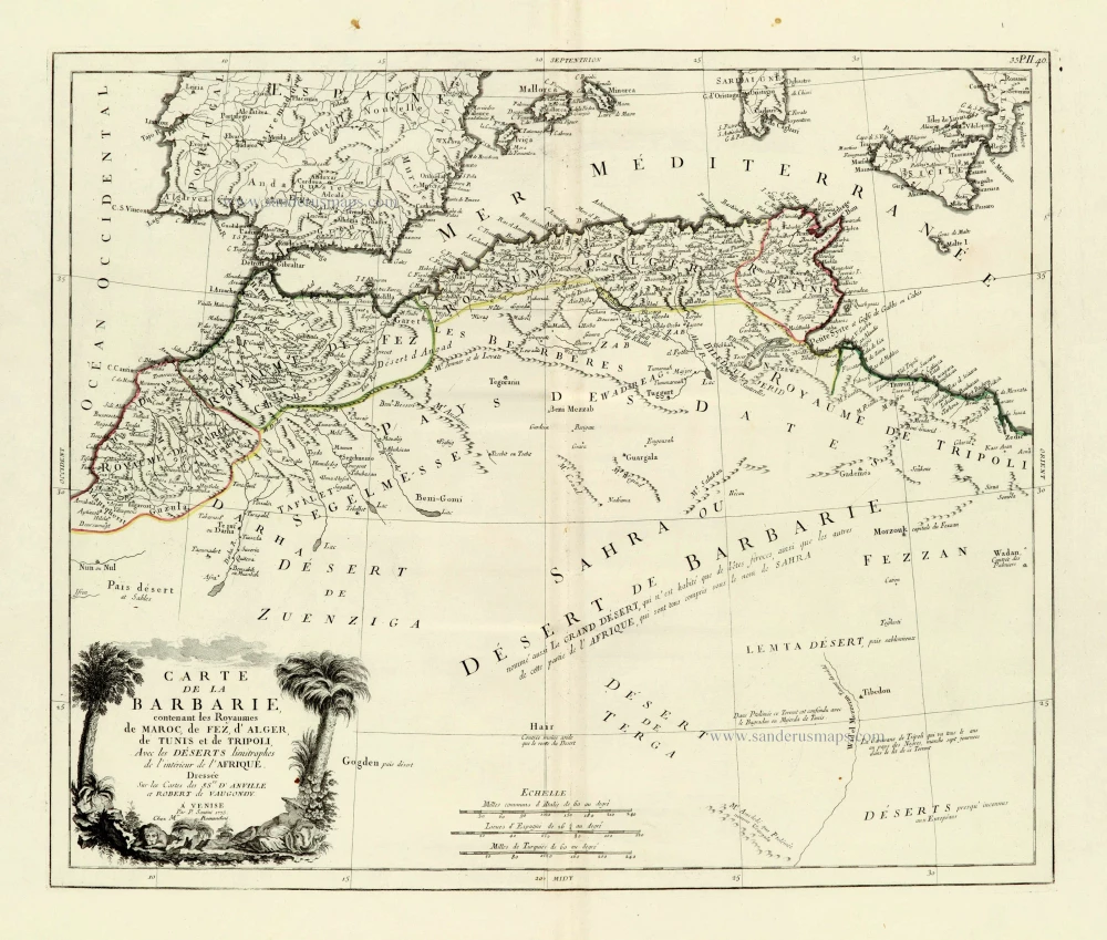
Carte de la Barbarie, contenant les Royaumes de Maroc, de Fez, d'Alger, de Tunis et de Tripoli, Avec les Déserts limitrophes de l'intérieur de l'Afrique. 1776-79
Northern Africa, by Francesco Santini.
[Item number: 28098]

Carte de la coste d'Arabie, Mer Rouge, et Golfe du Perse. 1750
Arabia by Jacques Nicolas Bellin.
[Item number: 28188]

AFR. II. TAB. 1605
Northern Africa by Claudius Ptolemy, published by Jodocus Hondius.
[Item number: 28884]

Parergon map
Africae Propriae Tabula, In qua, Punica regna vides; Tyrios, et Agenoris urbem. 1609
Abraham Ortelius, Ancient Northern Africa.
[Item number: 29348]
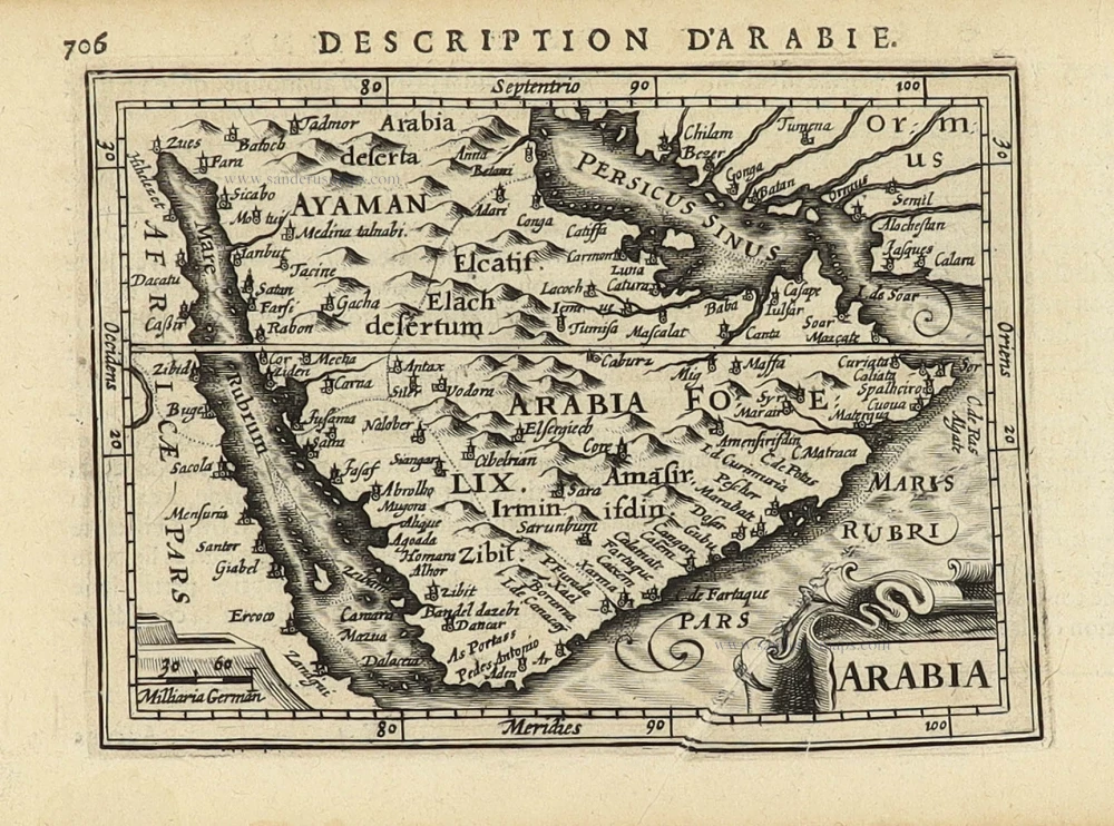
Arabia 1618
Arabia by Petrus Bertius, published by Jodocus Hondius II.
[Item number: 32141]

Scarce
De Persiaanze Zee Met de Eylanden Baharem, Queixome en Ormus, tussen Arabie en Persie, tot aan Dio en Suratte. 1707
Persian Gulf - Arabia by Pieter Van der Aa.
[Item number: 32322]

De Persiaanze Zee met d'Eylanden in deselve Tussen de Kusten van Arabie en Persie gelegen tot aan den Indus Vloed De Voorkusten van Guzaratte en Malabaar Tot aan Kaap Komoryn. 1707
Persian Gulf with Southern Arabia, by Pieter Van der Aa.
[Item number: 32348]

Scarce
De Kusten van Arabie, het Roode Meer, en Persize Zee van Bassora voorby t' Nau van Ormus Tot aan den Indus, Guzaratte en Kaap Comorin. 1707
Persian Gulf with Arabia, by Pieter Van der Aa.
[Item number: 32349]