This product is successfully added to your cart
Questions about this product? (#26069)

Authenticity Guarantee
All items are guaranteed authentic prints (woodcuts or engravings) or manuscripts made at or about (c.) the given date and in good condition unless stated otherwise. We don’t sell facsimiles or reproductions. We deliver every map with a Certificate of Authenticity containing all the details.

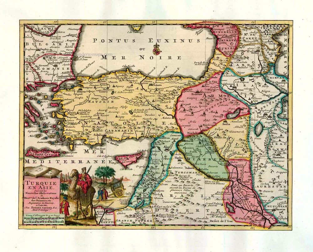
Old antique map of Turkey, by Pieter van der Aa. 1713

Pieter van der Aa (Leiden, 1659-1733)

Pieter van der Aa was already in 1682 owner of a bookshop and auction house. During his life, he has published an enormous amount of printed material.
After 1700, van der Aa increasingly specialised in books on geography and travel.
He published composite atlases, a series of geographical descriptions of European countries, and some very spectacular works. Between 1706 and 1708 he published the Naauweurige versameling der gedenkwaardigste zee- en land-reysen, in 28 volumes.
Many of Van der Aa’s publications are richly illustrated with maps and plates. He took over many copperplates and prints from other publishers such as Carel Allard and Frederik De Wit. The composite atlases that appeared from his workshop contain a curious mixture of his own material, copies of maps from other publishers, and reprints made from old copper plates, now with his own imprint.
The Galérie agréable du monde, was completed in 1729, and comprised 66 parts, bound in 27 volumes. Van der Aa presented it as a good investment; after publication, the antiquarian value of the work would double, the more so since it was printed in a limited edition of only one hundred copies.

back

Turquie en Asie.

SOLD

Item Number:  26069 Authenticity Guarantee

Category:  Antique maps > Asia > Turkey - Cyprus

Old, antique map of Turkey by P. Van der Aa

Shows the region from Romania to the Caucasus, and from Egypt to the Persian Gulf, with Cyprus and the Holy Land.

Date of the first edition: 1713
Date of this map: 1713

Copper engraving, printed on paper.
Size (not including margins): 22 x 29cm (8.6 x 11.3 inches)
Verso: Blank
Condition: Original coloured, trimmed to neatline and mounted on heavy paper at an early time.
Condition Rating: A
References: Van der Krogt 4, 48:14;.

From: Nouvel Atlas, très exact et fort commode pour toutes sortes de personnes, Contenant Les Principales cartes géographiques. Leiden, P. Van der Aa, n.d. (1713) (Koeman, Aa7).

Van der Aa maps are rarely found in original colouring.

Pieter van der Aa (Leiden, 1659-1733)

Pieter van der Aa was already in 1682 owner of a bookshop and auction house. During his life, he has published an enormous amount of printed material.
After 1700, van der Aa increasingly specialised in books on geography and travel.
He published composite atlases, a series of geographical descriptions of European countries, and some very spectacular works. Between 1706 and 1708 he published the Naauweurige versameling der gedenkwaardigste zee- en land-reysen, in 28 volumes.
Many of Van der Aa’s publications are richly illustrated with maps and plates. He took over many copperplates and prints from other publishers such as Carel Allard and Frederik De Wit. The composite atlases that appeared from his workshop contain a curious mixture of his own material, copies of maps from other publishers, and reprints made from old copper plates, now with his own imprint.
The Galérie agréable du monde, was completed in 1729, and comprised 66 parts, bound in 27 volumes. Van der Aa presented it as a good investment; after publication, the antiquarian value of the work would double, the more so since it was printed in a limited edition of only one hundred copies.
References: Van der Krogt 4 - 48:14

Related items

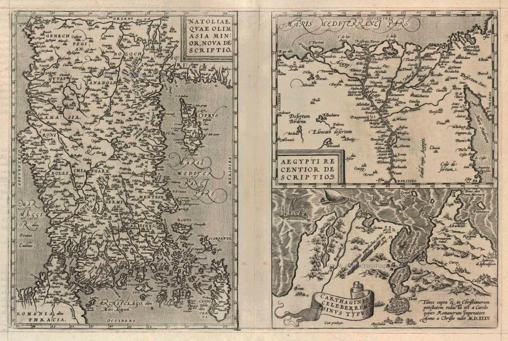
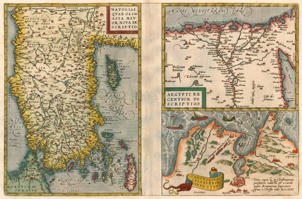
Turkey - Egypt - Cartago by Ortelius A.

Natoliae quae olim Asia Minor [on sheet with] Argypti Recentioe Descriptio [and] Carthaginis Celeberrimi Sinus Typus 1612
Turkey - Egypt - Cartago by Ortelius A.
[Item number: 22800]

€320  ($358.4 / £268.8)
Turkey - Egypt - Cartago, by A. Ortelius.

Natoliae quae olim Asia Minor [on sheet with] Argypti Recentioe Descriptio [and] Carthaginis Celeberrimi Sinus Typus 1598
Turkey - Egypt - Cartago, by A. Ortelius.
[Item number: 22865]

€260  ($291.2 / £218.4)
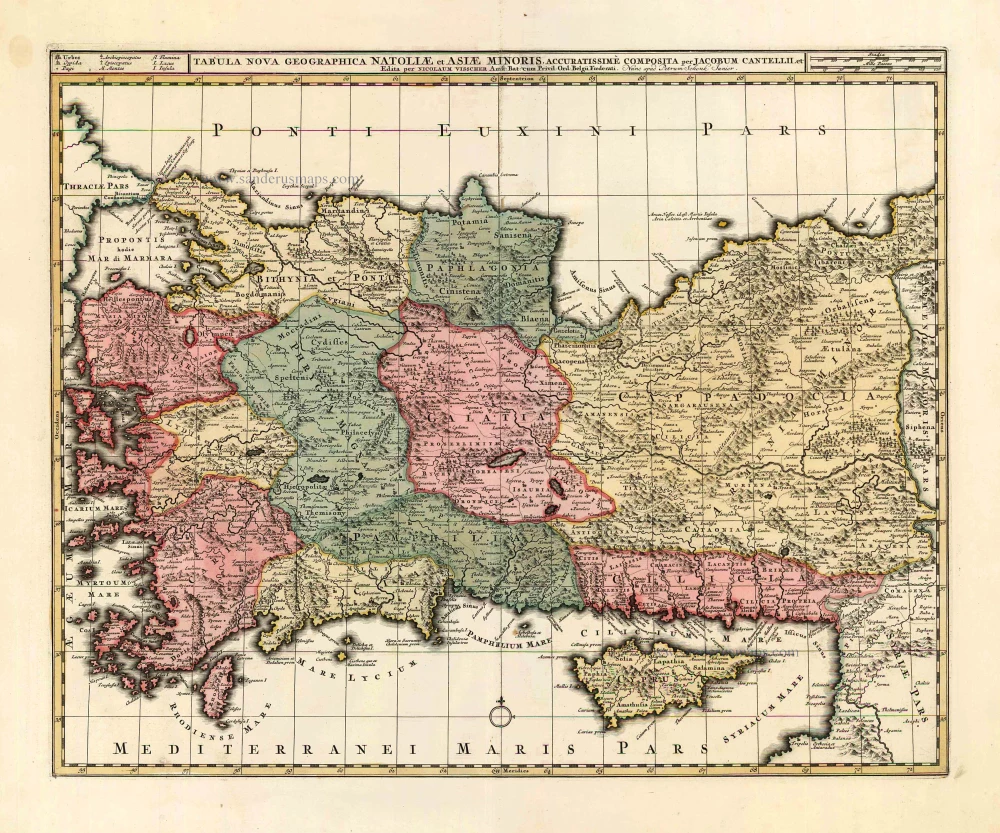
Turkey - Cyprus by N. Visscher II - P. Schenk.

Tabula Nova Geographica Natoliae et Asiae Minoris. c. 1740
Turkey - Cyprus by N. Visscher II - P. Schenk.
[Item number: 25841]

€550  ($616 / £462)
The Ottoman Empire, by Francesco Santini.

Turquie d'Europe. 1776-79
The Ottoman Empire, by Francesco Santini.
[Item number: 26972]

€350  ($392 / £294)
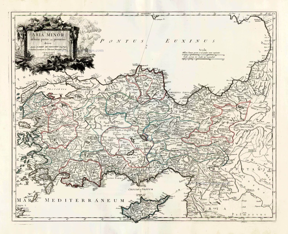
Turkey and Cyprus, by Paolo Santini.

Asia Minor in suas partes seu provincias divisa. 1776-79
Turkey and Cyprus, by Paolo Santini.
[Item number: 27014]

€400  ($448 / £336)
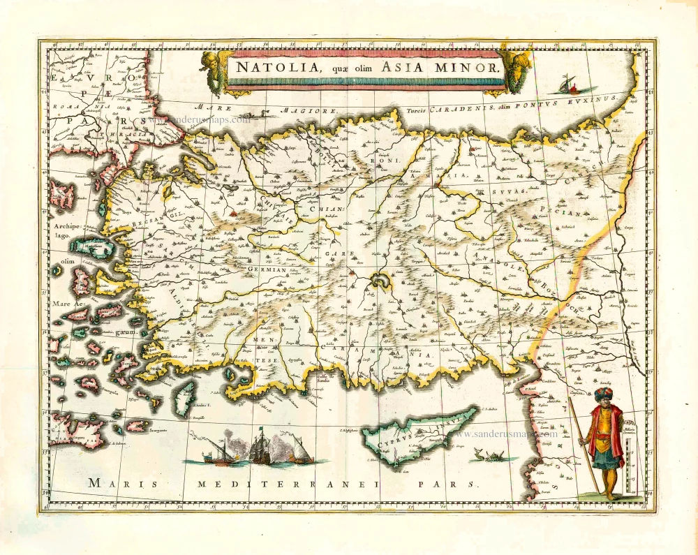
Turkey and Cyprus, by Willem Blaeu.

Natolia quae olim Asia Minor. 1640
Turkey and Cyprus, by Willem Blaeu.
[Item number: 27148]

€550  ($616 / £462)
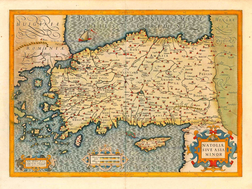
Turkey with Natoliae sive Asia Minor, by Jodocus Hondius.

Natoliae sive Asia Minor. 1623
Turkey with Natoliae sive Asia Minor, by Jodocus Hondius.
[Item number: 27824]

€750  ($840 / £630)
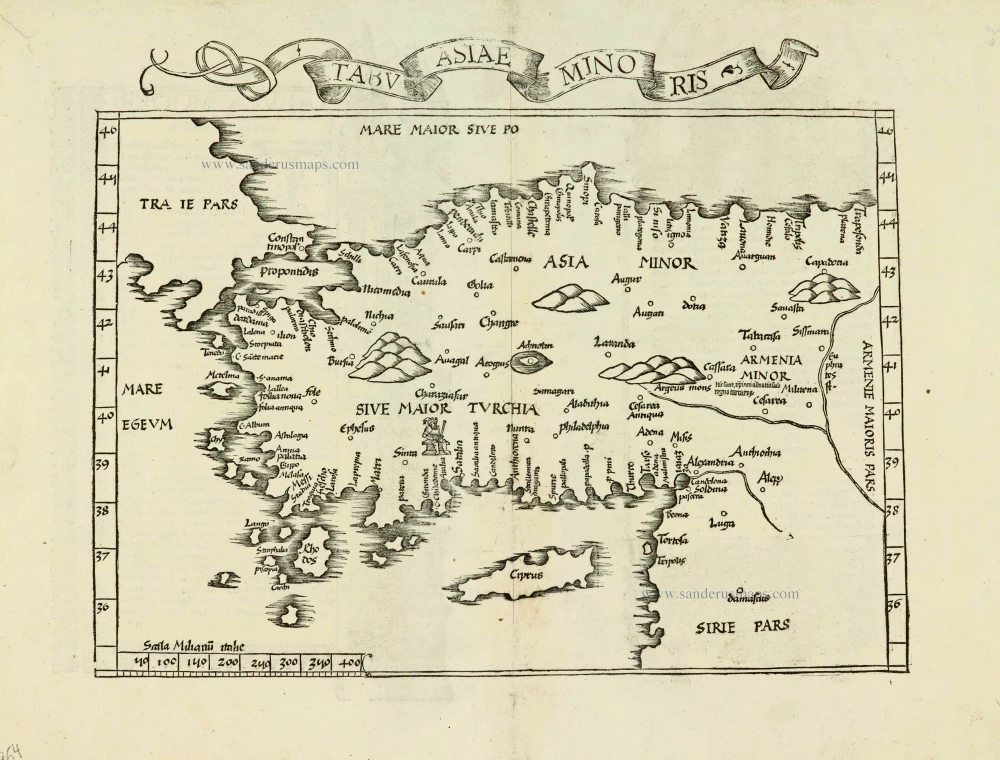
Turkey, by Lorenz Fries.

Tabula nova Asiae minoris. 1525
Turkey, by Lorenz Fries.
[Item number: 27954]

€700  ($784 / £588)
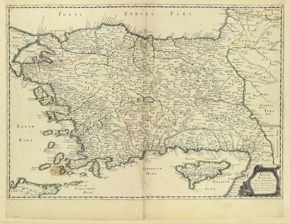
Turkey - Cyprus by Philippe de la Rue.

Asia Minor. 1665
Turkey - Cyprus by Philippe de la Rue.
[Item number: 28470]

€300  ($336 / £252)
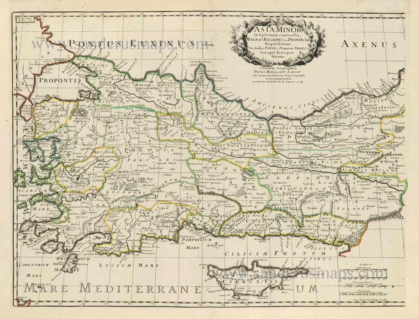
Turkey & Cyprus by Pierre Moullart-Sanson.

Asia Minor In Epitomen contracta, Magnas Regiones seu Provincias Representans In Quibus Populi, Primariae Urbes Locaque Praecipua Notantur. 1700-1710
Turkey & Cyprus by Pierre Moullart-Sanson.
[Item number: 28532]

€750  ($840 / £630)
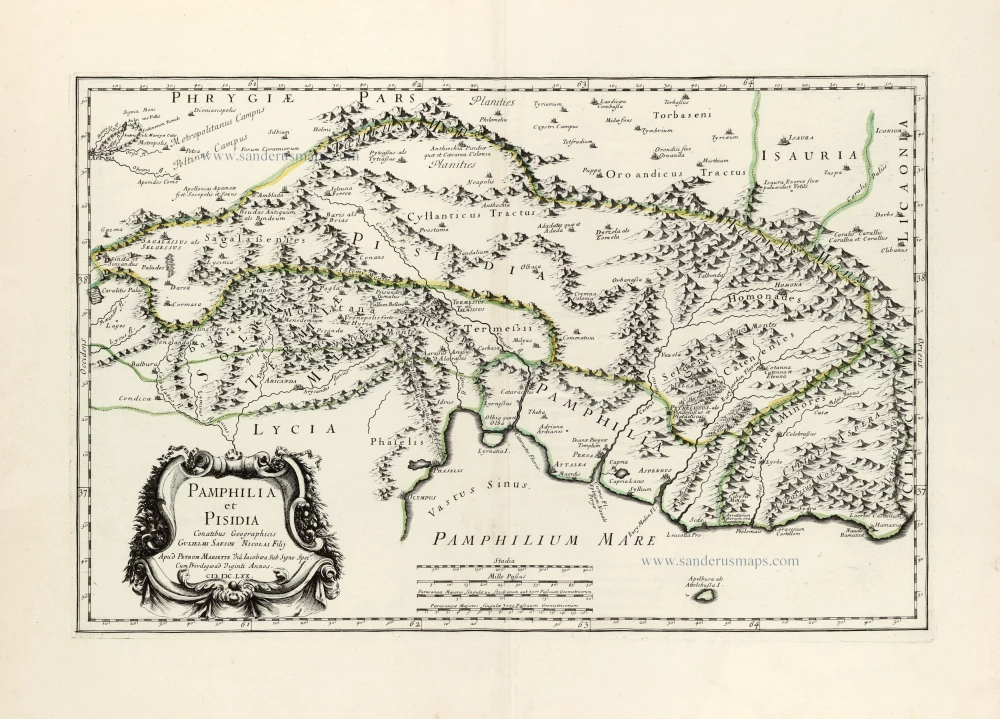
Pamphylia & Pisidia (Anatolia - Turkey) by Pierre Mariette.

Pamphilia et Pisidia. 1670
Pamphylia & Pisidia (Anatolia - Turkey) by Pierre Mariette.
[Item number: 30022]

€250  ($280 / £210)
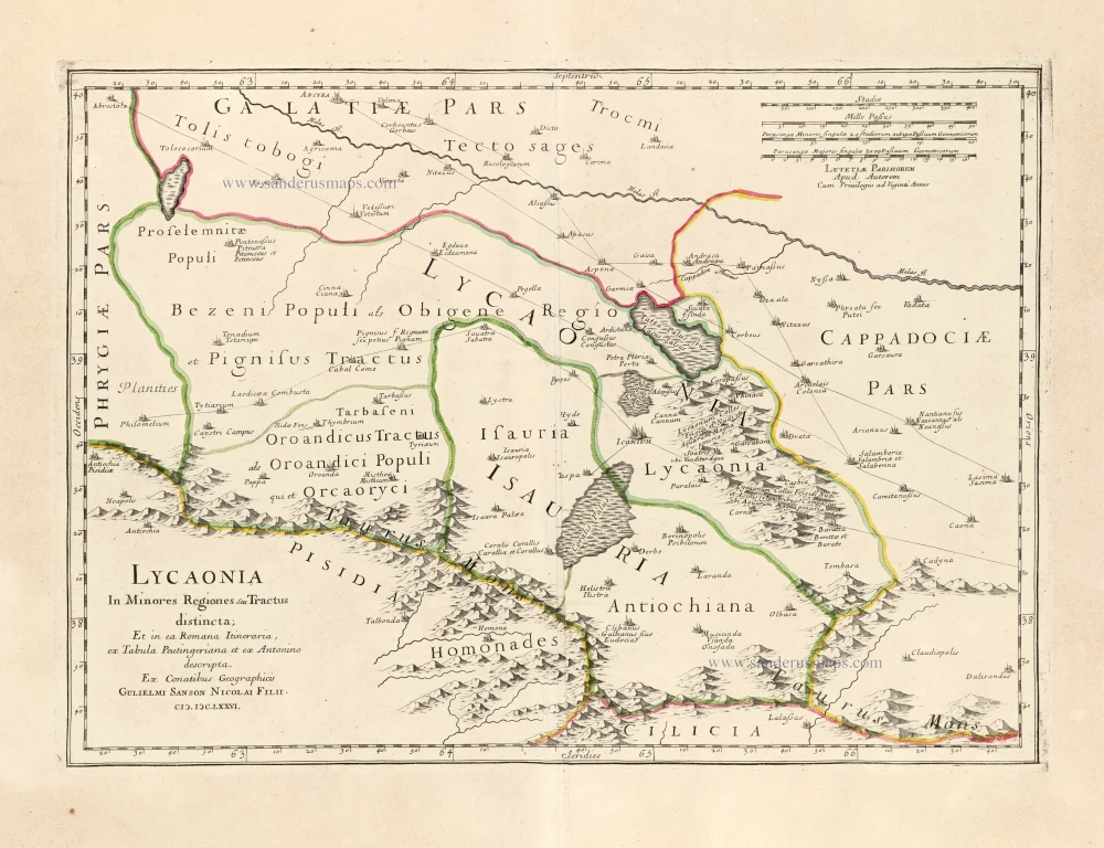
Lycaonia (Central Turkey) by Guillaume Sanson.

Lycaonia In Minores Regiones seu Tractus distincta; Et in ea Romana Itineraria, ex Tabula Peutingeriana et ex Antonino descripta. 1676
Lycaonia (Central Turkey) by Guillaume Sanson.
[Item number: 30023]

€220  ($246.4 / £184.8)
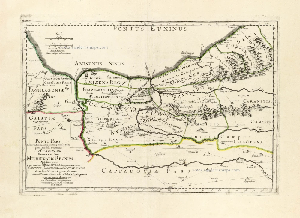
Ancient Northern Turkey by Guillaume Sanson.

*** Scarce first edition ***
Ponti Pars, Ad Halym, Iridem Thermodontemq[ue]; Fluvios Sita; quam Heroicis Temporibus Amazones Romanorum Aetate Mithridatis Regnum Nobilitarunt: quae tandem Provincia Romanorum facta Pontus Galaticus mox Hellenopontus dicta et in Minores Regiones distincta; et in ea Romana Itineraria ex Tabula Peutingeriana, et ex Antonino descripta. 1676
Ancient Northern Turkey by Guillaume Sanson.
[Item number: 30024]

€480  ($537.6 / £403.2)
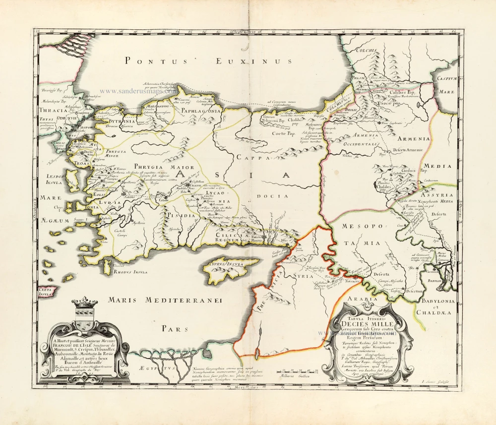
Asia Minor through to Armenia and Babylon by Pierre Duval.

*** Rare first edition ***
Tabula Itineris Decies Mille Graecorum sub Cyro contra fratrem suum Artaxerxem Regem Persarum. 1653
Asia Minor through to Armenia and Babylon by Pierre Duval.
[Item number: 30038]

€400  ($448 / £336)
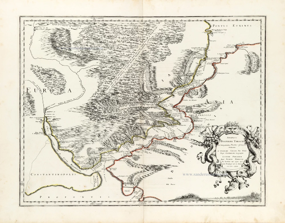
Bosporus by Guillaume Sanson.

Anaplus Bosphori Thracii. 1665
Bosporus by Guillaume Sanson.
[Item number: 30040]

€400  ($448 / £336)
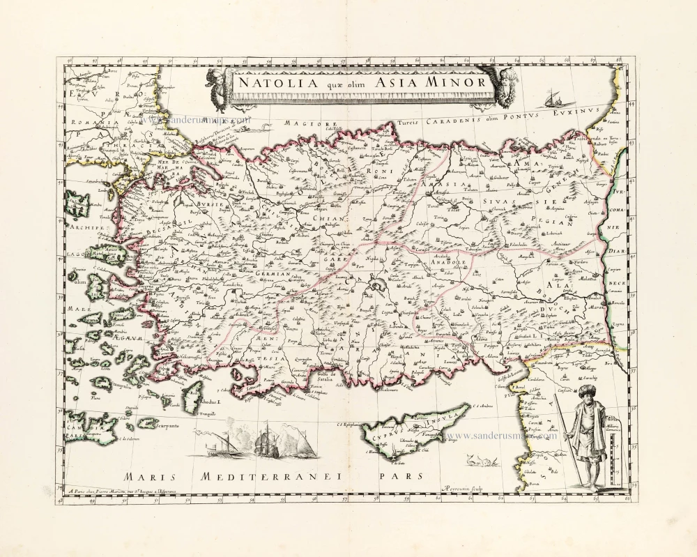
Turkey by Nicolas Sanson, published by Pierre Mariette.

Natolia quae olim Asia Minor. ca. 1658-1663
Turkey by Nicolas Sanson, published by Pierre Mariette.
[Item number: 30046]

€300  ($336 / £252)
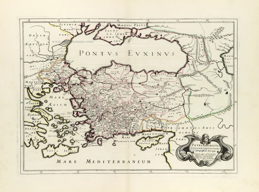
Turkey & Black Sea by J.B. Tavernier.

Patriarchatus Constantinopolitani Geographica descriptio. ca. 1640
Turkey & Black Sea by J.B. Tavernier.
[Item number: 30048]

€350  ($392 / £294)