
First volume title in excellent condition. First edition.
Georg Braun & Frans Hogenberg, allegorical atlas title page. 1572
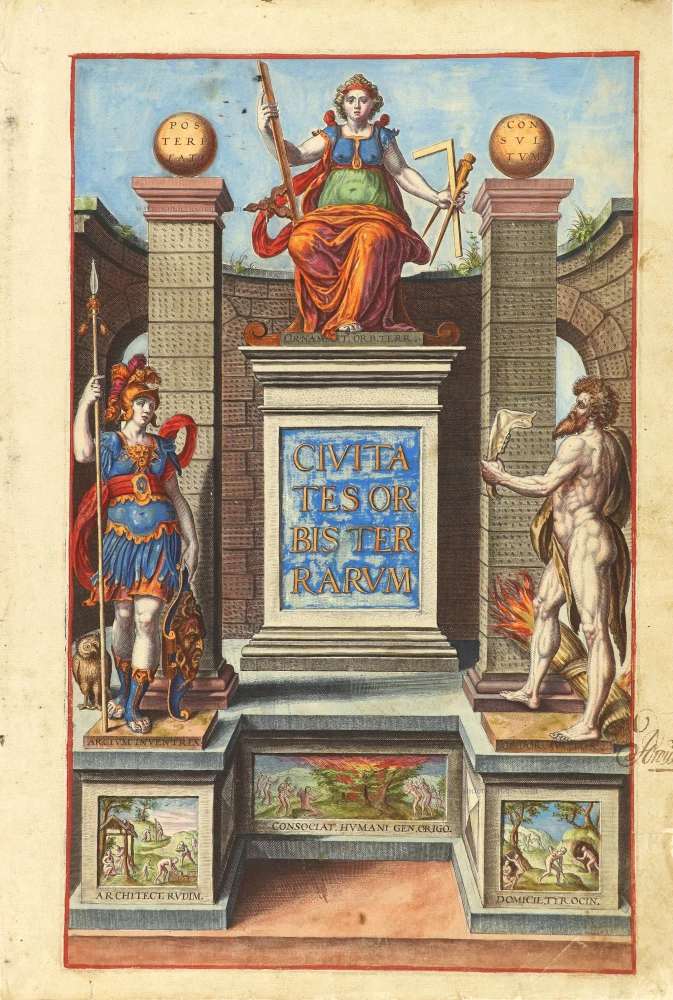


This title page of the first volume of the Civitates depicts the origins of the settled town from the earliest classical times. Three figures personifying the builders are prominent within a solid, pillared architectural structure with two rough arches in the background. To the left of the central title stands Minerva (Athena in Greek), the patroness of cities. She is recognisable by her attribute of an owl, signifying wisdom, on her helmet and by her side. She is armoured with a plumed helmet and holds a spear and shield.
On the opposite side of the title stands a muscular Cain, mentioned in the preliminary text as a symbol of physical strength and courage. He is clothed in a lion's skin, and in his hand holds the ass's jawbone with which he killed his brother Abel. Abel was the founder of cities and (according to one legend) the inventor of Fire, hence the burning wheatsheaf at his feet. At the top of the massive plinth holding the title is a female figure representing the skill of architecture, design and ornament: she holds instruments associated with those arts. Beneath her feet is an inscription Ornament[a] Orb[is] Terr[arum] or 'Embellishments of the Whole World'.
As part of the pedestal on which Minerva and Cain stand, three panels appear as carvings inset into the overall stone structure. They show very rudimentary dwellings - simple huts, shelter in a rainy forest, and digging ground shelters and caves. The message is that from such simple beginnings, the fine towns and cities of the present time have grown.
Braun G. & Hogenberg F. and the Civitates Orbis Terrarum.
The Civitates Orbis Terrarum, also known as the 'Braun & Hogenberg', is a six-volume town atlas and the most excellent book of town views and plans ever published: 363 engravings, sometimes beautifully coloured. It was one of the best-selling works in the last quarter of the 16th century. Georg Braun, a skilled writer, wrote the text accompanying the plans and views on the verso. Many plates were engraved after the original drawings of a professional artist, Joris Hoefnagel (1542-1600). The first volume was published in Latin in 1572 and the sixth in 1617. Frans Hogenberg, a talented engraver, created the tables for volumes I through IV, and Simon van den Neuwel made those for volumes V and VI. Other contributors were cartographers Daniel Freese and Heinrich Rantzau, who provided valuable geographical information. Works by Jacob van Deventer, Sebastian Münster, and Johannes Stumpf were also used as references. Translations appeared in German and French, making the atlas accessible to a wider audience.
Since its original publication of volume 1 in 1572, the Civitates Orbis Terrarum has left an indelible mark on the history of cartography. The first volume was followed by seven more editions in 1575, 1577, 1582, 1588, 1593, 1599, and 1612. Vol.2, initially released in 1575, saw subsequent editions in 1597 and 1612. The subsequent volumes, each a treasure trove of historical insights, graced the world in 1581, 1588, 1593, 1599, and 1606. The German translation of the first volume, a testament to its widespread appeal, debuted in 1574, followed by the French edition in 1575.
Several printers were involved: Theodor Graminaeus, Heinrich von Aich, Gottfried von Kempen, Johannis Sinniger, Bertram Buchholtz, and Peter von Brachel, all of whom worked in Cologne.
Georg Braun (1541-1622)
Georg Braun, the author of the text accompanying the plans and views in the Civitates Orbis Terrarum, was born in Cologne in 1541. After his studies in Cologne, he entered the Jesuit Order as a novice, indicating his commitment to learning and intellectual pursuits. In 1561, he obtained his bachelor's degree; in 1562, he received his Magister Artium, further demonstrating his academic achievements. Although he left the Jesuit Order, he continued his studies in theology, gaining a licentiate in theology. His theological background likely influenced the content and tone of the text in the Civitates Orbis Terrarum, adding a unique perspective to the work.
Frans Hogenberg (1535-1590)
Frans Hogenberg was a Flemish and German painter, engraver, and mapmaker. He was born in Mechelen as the son of Nicolaas Hogenberg.
By the end of the 1560s, Frans Hogenberg was employed upon Abraham Ortelius's Theatrum Orbis Terrarum, published in 1570; he is named an engraver of numerous maps. In 1568, he was banned from Antwerp by the Duke of Alva and travelled to London, where he stayed a few years before emigrating to Cologne. He immediately embarked on his two most important works, the Civitates, published in 1572 and the Geschichtsblätter, which appeared in several series from 1569 until about 1587.
Thanks to large-scale projects like the Geschichtsblätter and the Civitates, Hogenberg's social circumstances improved with each passing year. He died as a wealthy man in Cologne in 1590.
Civitates Orbis Terrarum.
Item Number: 28788 Authenticity Guarantee
Category: Antique maps > Curiosities
Georg Braun & Frans Hogenberg, allegorical atlas title page.
Title: Civitates Orbis Terrarum.
Date of the first edition: 1572.
Date of this map: 1572.
Copper engraving, printed on paper.
Image size: 365 x 225mm (14.37 x 8.86 inches).
Sheet size: 395 x 270mm (15.55 x 10.63 inches).
Verso: Latin text.
Condition: Original coloured, reinforcements at lower and lower right margin.
Condition Rating: A+.
From: Civitates Orbis Terrarum. Cologne, Theodor Graminaeus, 1572. (Van der Krogt 4, 41:0)
This title page of the first volume of the Civitates depicts the origins of the settled town from the earliest classical times. Three figures personifying the builders are prominent within a solid, pillared architectural structure with two rough arches in the background. To the left of the central title stands Minerva (Athena in Greek), the patroness of cities. She is recognisable by her attribute of an owl, signifying wisdom, on her helmet and by her side. She is armoured with a plumed helmet and holds a spear and shield.
On the opposite side of the title stands a muscular Cain, mentioned in the preliminary text as a symbol of physical strength and courage. He is clothed in a lion's skin, and in his hand holds the ass's jawbone with which he killed his brother Abel. Abel was the founder of cities and (according to one legend) the inventor of Fire, hence the burning wheatsheaf at his feet. At the top of the massive plinth holding the title is a female figure representing the skill of architecture, design and ornament: she holds instruments associated with those arts. Beneath her feet is an inscription Ornament[a] Orb[is] Terr[arum] or 'Embellishments of the Whole World'.
As part of the pedestal on which Minerva and Cain stand, three panels appear as carvings inset into the overall stone structure. They show very rudimentary dwellings - simple huts, shelter in a rainy forest, and digging ground shelters and caves. The message is that from such simple beginnings, the fine towns and cities of the present time have grown.
Braun G. & Hogenberg F. and the Civitates Orbis Terrarum.
The Civitates Orbis Terrarum, also known as the 'Braun & Hogenberg', is a six-volume town atlas and the most excellent book of town views and plans ever published: 363 engravings, sometimes beautifully coloured. It was one of the best-selling works in the last quarter of the 16th century. Georg Braun, a skilled writer, wrote the text accompanying the plans and views on the verso. Many plates were engraved after the original drawings of a professional artist, Joris Hoefnagel (1542-1600). The first volume was published in Latin in 1572 and the sixth in 1617. Frans Hogenberg, a talented engraver, created the tables for volumes I through IV, and Simon van den Neuwel made those for volumes V and VI. Other contributors were cartographers Daniel Freese and Heinrich Rantzau, who provided valuable geographical information. Works by Jacob van Deventer, Sebastian Münster, and Johannes Stumpf were also used as references. Translations appeared in German and French, making the atlas accessible to a wider audience.
Since its original publication of volume 1 in 1572, the Civitates Orbis Terrarum has left an indelible mark on the history of cartography. The first volume was followed by seven more editions in 1575, 1577, 1582, 1588, 1593, 1599, and 1612. Vol.2, initially released in 1575, saw subsequent editions in 1597 and 1612. The subsequent volumes, each a treasure trove of historical insights, graced the world in 1581, 1588, 1593, 1599, and 1606. The German translation of the first volume, a testament to its widespread appeal, debuted in 1574, followed by the French edition in 1575.
Several printers were involved: Theodor Graminaeus, Heinrich von Aich, Gottfried von Kempen, Johannis Sinniger, Bertram Buchholtz, and Peter von Brachel, all of whom worked in Cologne.
Georg Braun (1541-1622)
Georg Braun, the author of the text accompanying the plans and views in the Civitates Orbis Terrarum, was born in Cologne in 1541. After his studies in Cologne, he entered the Jesuit Order as a novice, indicating his commitment to learning and intellectual pursuits. In 1561, he obtained his bachelor's degree; in 1562, he received his Magister Artium, further demonstrating his academic achievements. Although he left the Jesuit Order, he continued his studies in theology, gaining a licentiate in theology. His theological background likely influenced the content and tone of the text in the Civitates Orbis Terrarum, adding a unique perspective to the work.
Frans Hogenberg (1535-1590)
Frans Hogenberg was a Flemish and German painter, engraver, and mapmaker. He was born in Mechelen as the son of Nicolaas Hogenberg.
By the end of the 1560s, Frans Hogenberg was employed upon Abraham Ortelius's Theatrum Orbis Terrarum, published in 1570; he is named an engraver of numerous maps. In 1568, he was banned from Antwerp by the Duke of Alva and travelled to London, where he stayed a few years before emigrating to Cologne. He immediately embarked on his two most important works, the Civitates, published in 1572 and the Geschichtsblätter, which appeared in several series from 1569 until about 1587.
Thanks to large-scale projects like the Geschichtsblätter and the Civitates, Hogenberg's social circumstances improved with each passing year. He died as a wealthy man in Cologne in 1590.
Related items
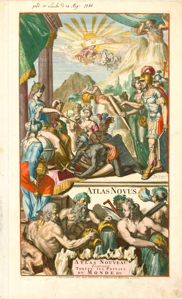
Atlas Novus - Atlas-Nouveau Contenant toutes les parties du Monde &c. 1733
Atlas title page, by Covens & Mortier.
[Item number: 12544]
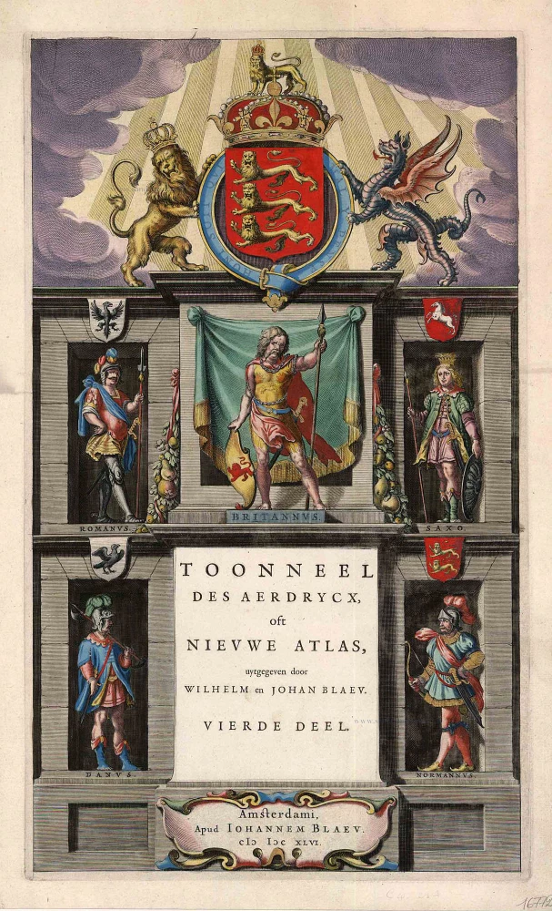
Toonneel des Aerdrycx, oft Nieuwe Atlas, uytgegeven door Wilhelm en Joan Blaeu. Vierde Deel. 1642-43
Title page for the Blaeu Atlas of England
[Item number: 16772]
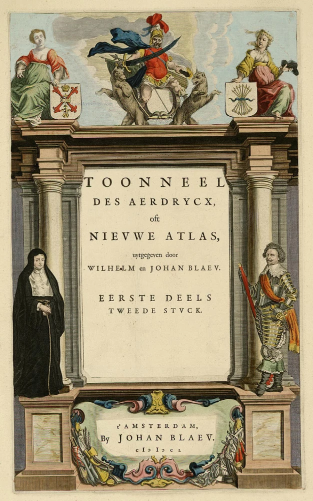
Toonneel des Aerdrycx, oft Nieuwe Atlas, uytgegeven door Wilhelm en Joan Blaeu. Eerste Deels Tweede Stuck. 1642-43
Atlas Title Page, by Blaeu W. & J.
[Item number: 21455]
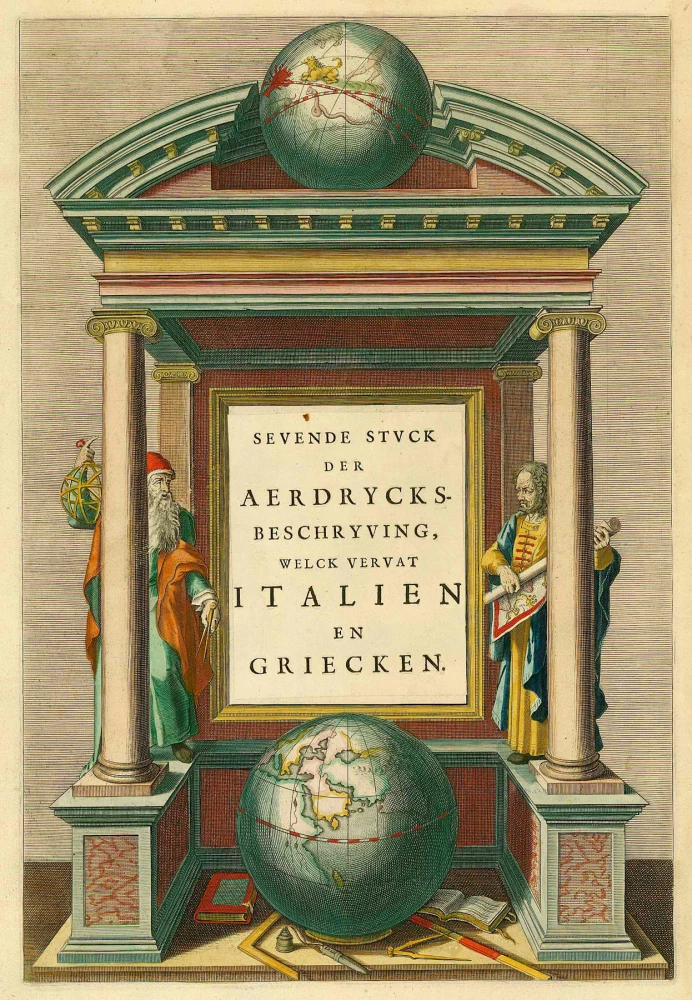
Sevende Stuck der Aerdrycks-Beschryving, welck vervat Italien en Griecken. 1664-65
Atlas Title Page by J. Blaeu
[Item number: 21621]
Scarce. Heightened in gold
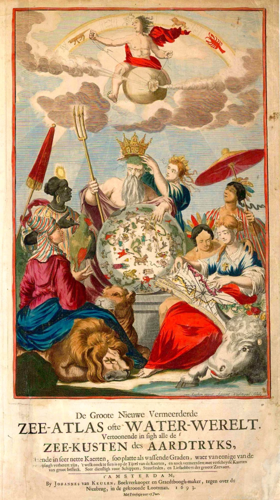
De Groote Nieuwe Vermeerderde Zee-Atlas ofte Water-Werelt. Vertoonende in sigh alle de Zee-Kusten des Aardtryks, ... 1693
Johannes Van Keulen, sea atlas title page.
[Item number: 26447]
The design is taken from Peter Paul Rubens
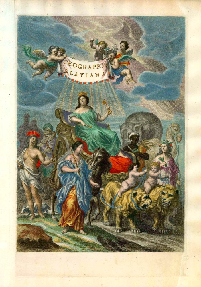
Geographia Blaviana. 1662
Joan Blaeu, 'Atlas Maior' title page.
[Item number: 26570]
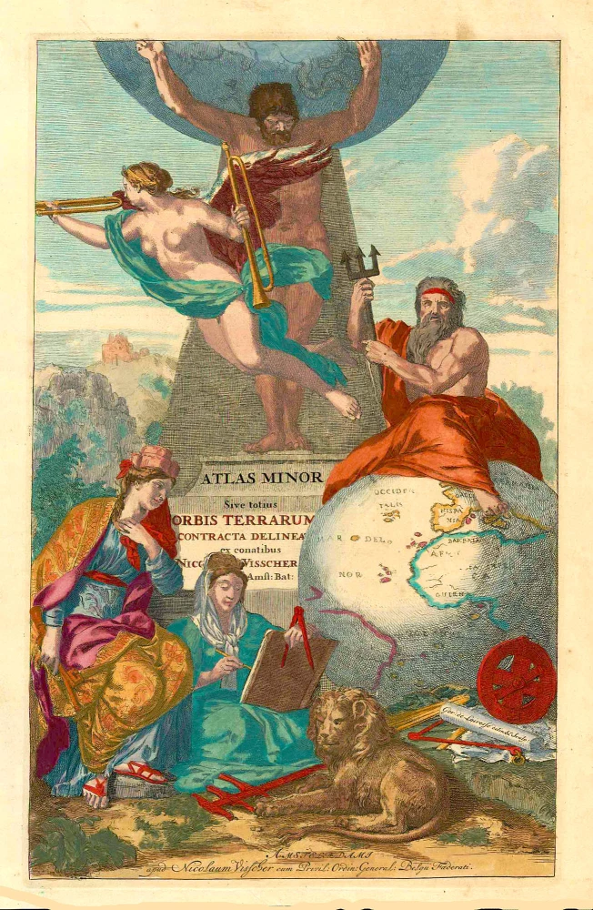
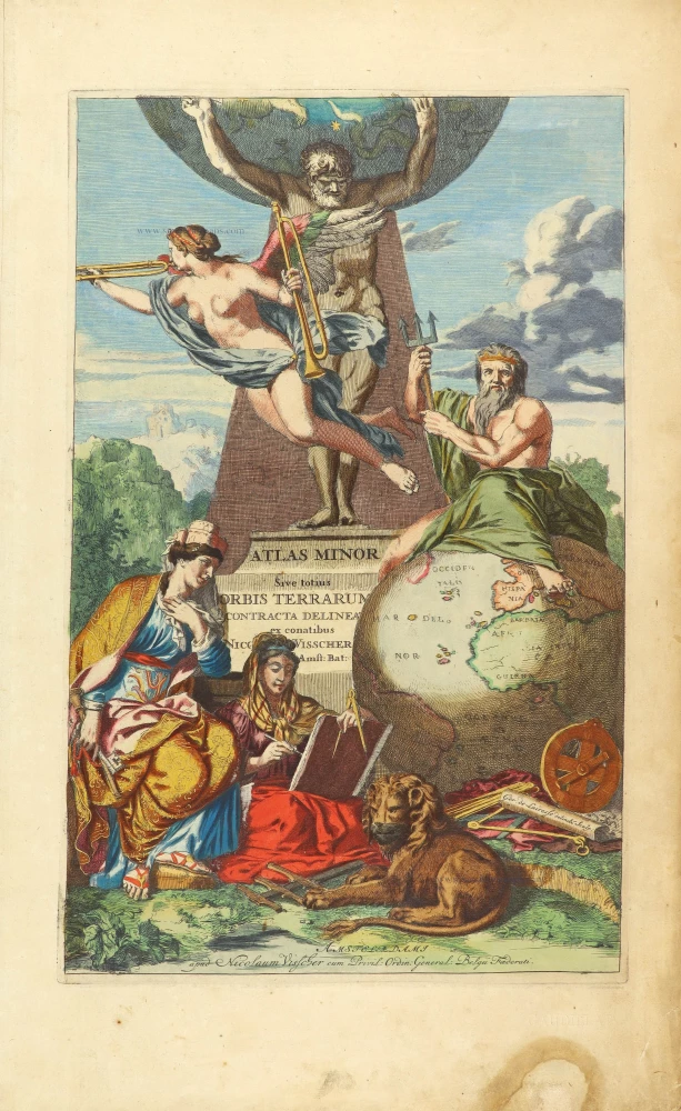
Atlas Minor Sive totius Orbis Terrarum contracta delineat(a) ex conatibus Nic(olaus) Visscher ... 1683-1702
Allegoric title page of the Atlas Minor, by Nicolaas Visscher II.
[Item number: 27022]
Rare
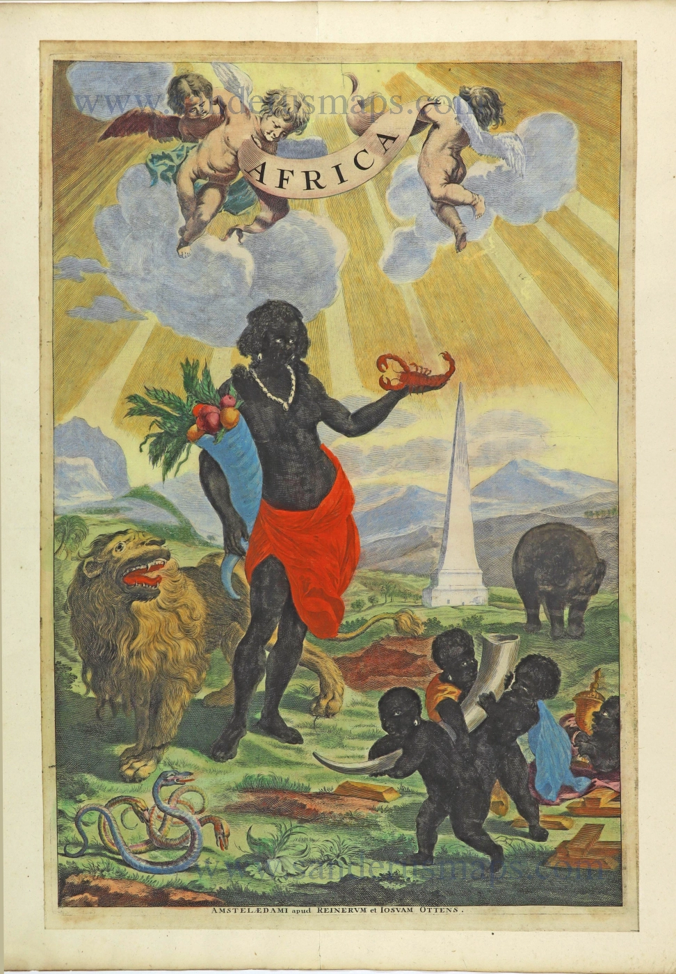
Africa. 1725-50.
Allegorical title page of Africa by Joan Blaeu, published by Reinier & Josua Ottens.
[Item number: 28506]
Rare!
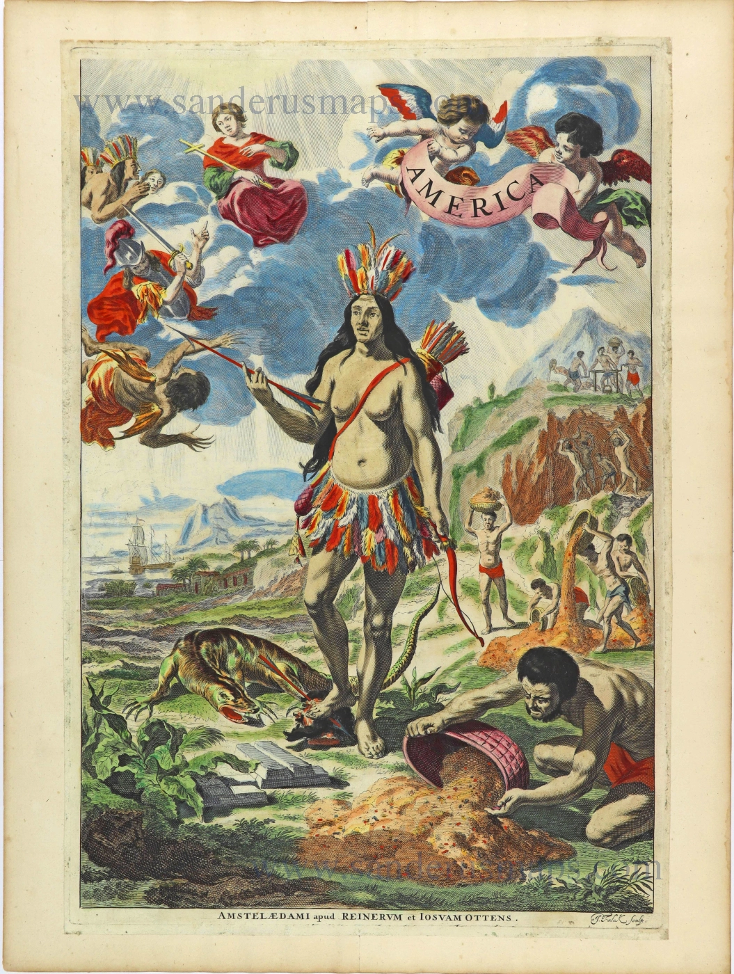
America. 1725-50.
Allegorical title page of America by Joan Blaeu, published by Reinier & Josua Ottens.
[Item number: 28507]
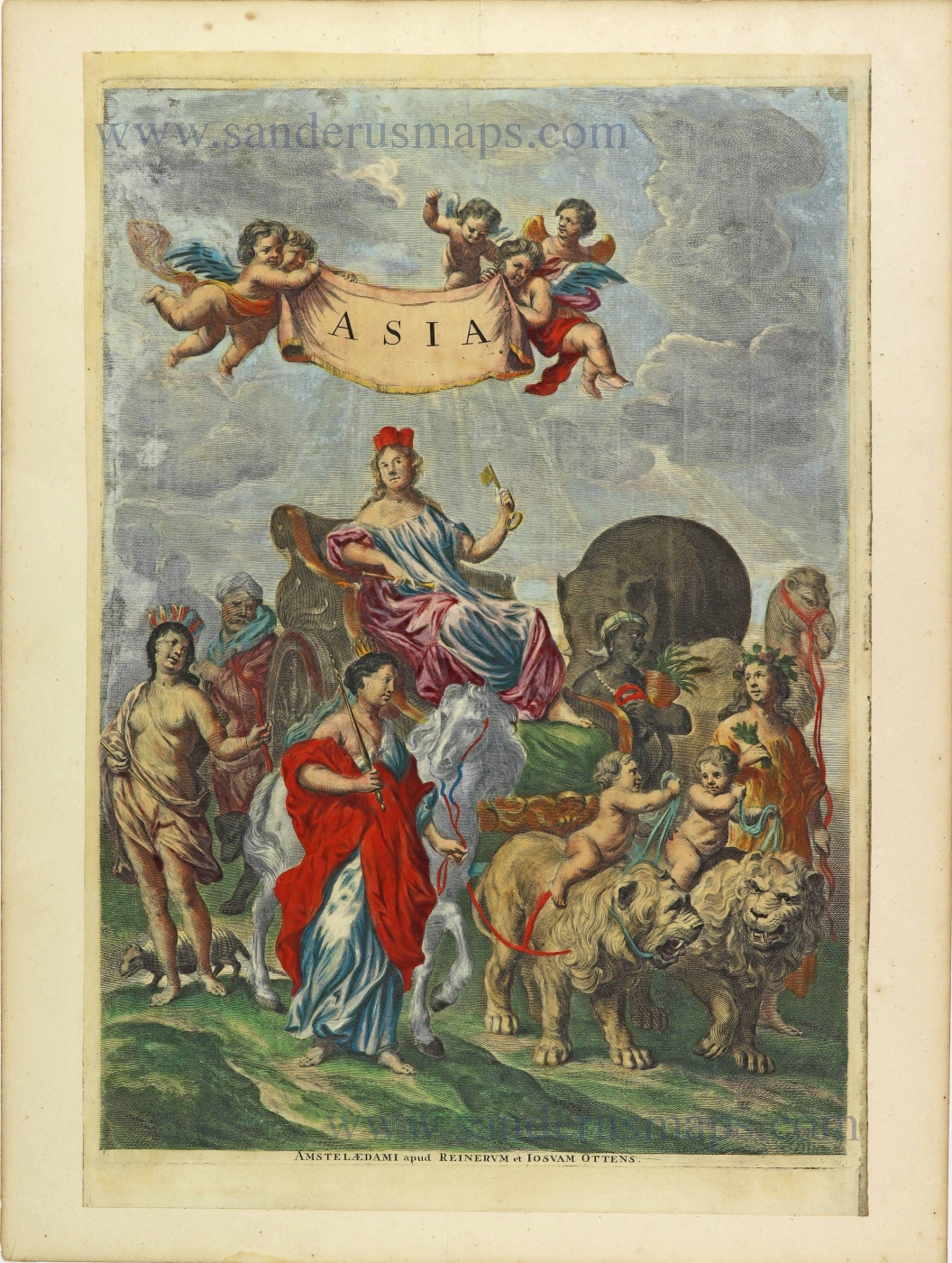
Asia. 1725-50.
Allegorical title page by Joan Blaeu, published by Reinier & Josua Ottens.
[Item number: 28508]
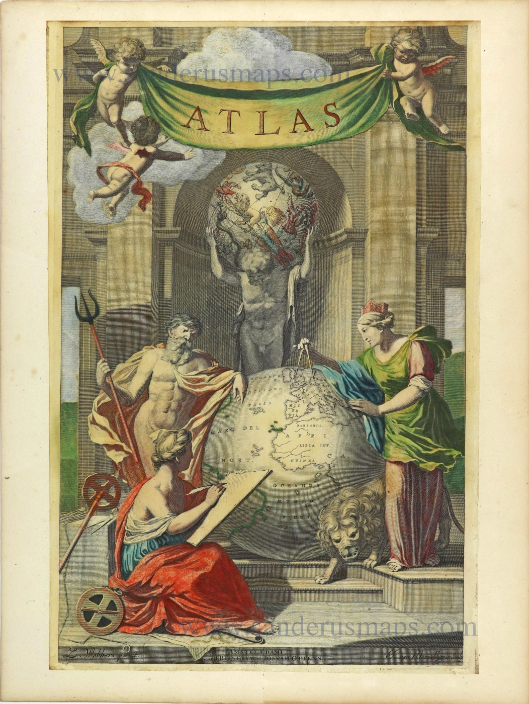
Atlas. 1725-50.
Allegorical title page by Joan Blaeu, published by Reinier & Josua Ottens.
[Item number: 28509]
Heightened in gold
Atlas Minor Sive totius Orbis Terrarum contracta delinea... 1683-1716
Allegorical atlas title page by Nicolaas Visscher II.
[Item number: 28787]
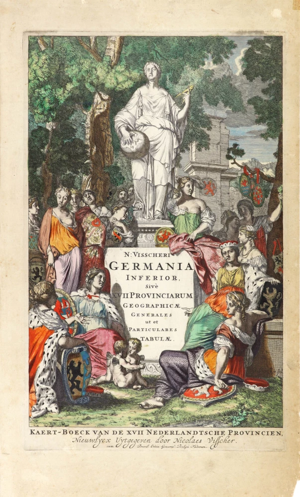
N: Visscheri Germania Inferior Sive XVII Provinciarum Geographicae Generales ut et Particulares Tabulae. - Kaert-Boeck van de XVII Nederlandtsche Provincien, Nieuwlycx uytgegeven door Nicolaes Visscher. After 1677 (privilege)
Atlas title page by Nicolas Visscher II.
[Item number: 30417]