
England, by Doncker H. 1686
Hendrick Doncker (1625-1699)
Hendrick Doncker became a member of the bookseller's guild in 1647 and ran his shop successfully for fifty years. He was able to develop one of the most popular sets of maritime works published in Amsterdam during the Golden Age.
In 1651 he bought a house in the Nieuwe Brugsteeg in Amsterdam. It was called 'in 't Stuurmans gereetschap' (in the mariners' instruments) and stood opposite the house where Johannes van Keulen later settled.
Apart from the sea atlases, charts and pilot books, Hendrik Doncker published various editions of textbooks on the art of navigation.
After the death of Hendrick Doncker, the son, Hendrick II (c. 1664-c.1739), continued publishing the sea atlases Zeeatlas and Zeespiegel until 1708.
Doncker's charts were the most up-to-date in the second half of the 17th century. Although there is some similarity to those charts published by Van Loon, Goos, Lootsman, and Doncker, the latter's charts are original.
In 1655, Hendrick Doncker had begun with the publication of a pilot guide, the Lichtende Columne ofte Zeespiegel. In 1659 he published his first sea atlas, the Zee-Atlas of Waeter-waereld, with 19 maps. Between 1659 and 1669, he increased the number of charts from 19 to 30 and in 1669 he came with an edition containing 50, which was soon to be followed by an edition with large maps: the Nieuwe Groote Vermeerderde Zeeatlas, also with 50 charts. This beautiful atlas was reprinted and continually improved for more than 25 years. After the death of Hendrick Doncker in 1699, his son continued the publication and even enlarged and enhanced the sea-atlas.
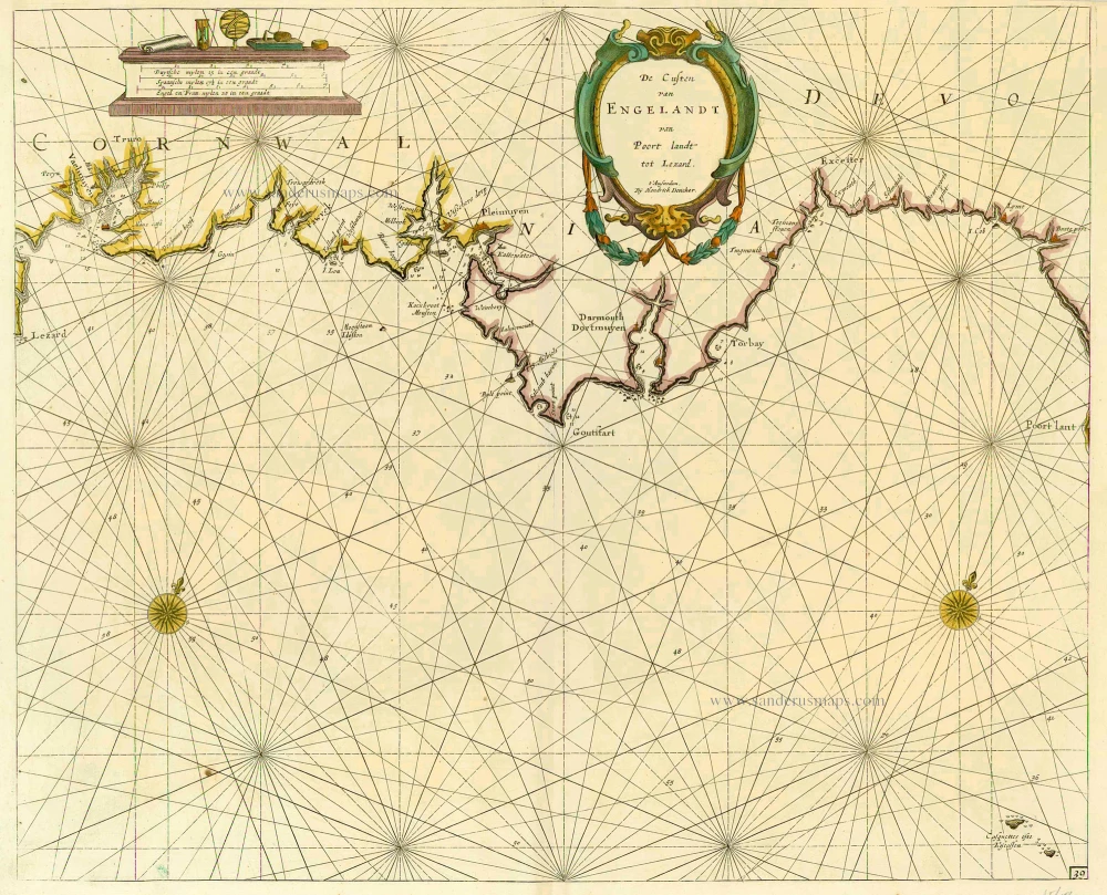
De Custen van Engelandt van Poort landt tot Lezard.
Item Number: 16207 Authenticity Guarantee
Category: Antique maps > Europe > British Isles
Antique map of England by Doncker H.
Title: De Custen van Engelandt van Poort landt tot Lezard.
Date: 1686.
Copper engraving, printed on paper.
Size (not including margins): 420 x 518mm (16.54 x 20.39 inches).
Verso: Blank.
Condition: Original coloured, excellent.
Condition Rating: A+.
From: Le Grand & Nouveau Miroir ou Flambeau, De la Mer contenant la description de toutes les costes Marines Occidentalled & Septentrionalles, . . . Traduit de Flaman en François par Paul Yvounet. A Amsterdam Chés Henri Donker, . . . l'An 1686.
Hendrick Doncker (1625-1699)
Hendrick Doncker became a member of the bookseller's guild in 1647 and ran his shop successfully for fifty years. He was able to develop one of the most popular sets of maritime works published in Amsterdam during the Golden Age.
In 1651 he bought a house in the Nieuwe Brugsteeg in Amsterdam. It was called 'in 't Stuurmans gereetschap' (in the mariners' instruments) and stood opposite the house where Johannes van Keulen later settled.
Apart from the sea atlases, charts and pilot books, Hendrik Doncker published various editions of textbooks on the art of navigation.
After the death of Hendrick Doncker, the son, Hendrick II (c. 1664-c.1739), continued publishing the sea atlases Zeeatlas and Zeespiegel until 1708.
Doncker's charts were the most up-to-date in the second half of the 17th century. Although there is some similarity to those charts published by Van Loon, Goos, Lootsman, and Doncker, the latter's charts are original.
In 1655, Hendrick Doncker had begun with the publication of a pilot guide, the Lichtende Columne ofte Zeespiegel. In 1659 he published his first sea atlas, the Zee-Atlas of Waeter-waereld, with 19 maps. Between 1659 and 1669, he increased the number of charts from 19 to 30 and in 1669 he came with an edition containing 50, which was soon to be followed by an edition with large maps: the Nieuwe Groote Vermeerderde Zeeatlas, also with 50 charts. This beautiful atlas was reprinted and continually improved for more than 25 years. After the death of Hendrick Doncker in 1699, his son continued the publication and even enlarged and enhanced the sea-atlas.
Related items

Anglia Regnum 1640-43
England by Willem & Joan Blaeu
[Item number: 25594]
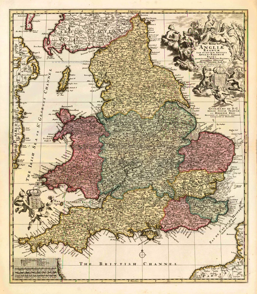
Angliae Regnum tam in septem Antiqua Anglo-Saxonum Regna ... c. 1730
England, by N. Visscher II, published by P. Schenk.
[Item number: 25720]
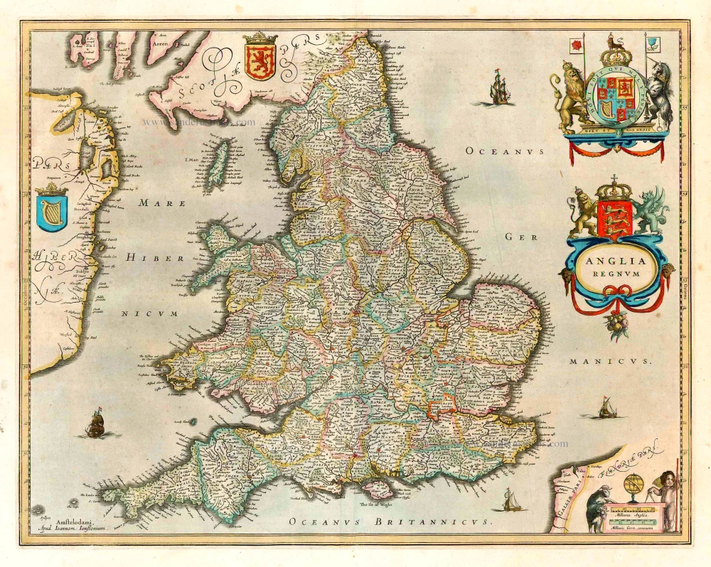
Anglia Regnum. 1641
England, by J. Janssonius, published by Henricus Hondius.
[Item number: 26242]

Le Royaume d'Angleterre, Divisé Selon les Sept Royaumes, ou Heptarchie des Saxons, avec la Principauté de Galles et Subdivisé en Shires ou Comtés. 1776-79
England, by Francesco Santini.
[Item number: 26960]
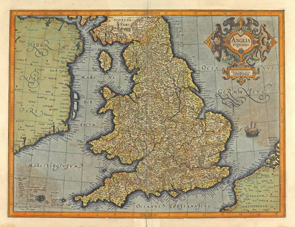
Anglia Regnum. 1623
England, by Gerard Mercator.
[Item number: 28132]

Orientalior Districtus Regni Angliae Comprehendens Comitatus et Provincias c. 1705
East England, by Frederick de Wit.
[Item number: 28990]
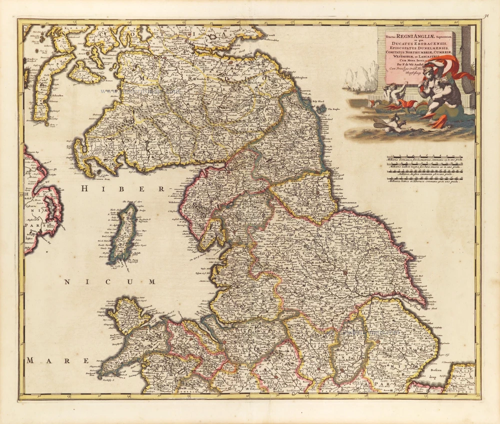
Tractus Regni Angliae Septentrion, in quo Ducatus Eboracensis, Episcopatus Dunelmensis, Comitatus Northumbriae, Cumbiae, Westmoriae, et Lancasstriae Cum Mona Insula. ca. 1691-93
Northern England, by Frederick de Wit.
[Item number: 29031]
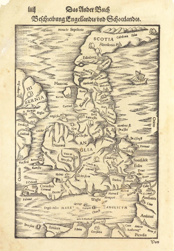
Beschreibung Engellandts und Schottlandts. 1578
Great Brittain by Sebastian Münster.
[Item number: 29468]

Angliae Regni Florentissimi nova descriptio. 1584
England by A. Ortelius.
[Item number: 30145]
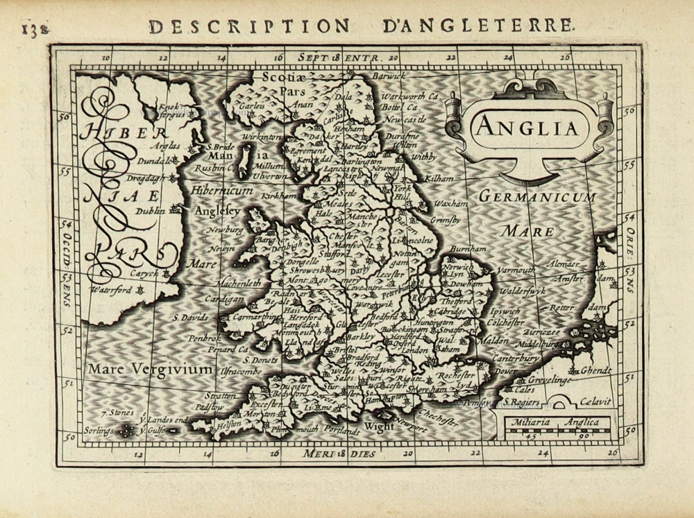
Anglia. 1618
England by Petrus Bertius, published by Jodocus Hondius II.
[Item number: 31536]

Scarce
Accuratissima Angliae Regni et Walliae Principatus Descriptio Distincte divisa in Omnes suas Provincias 1696-1713
England and Wales, by Cornelis Danckerts.
[Item number: 32495]