
Eastern Europe (Poland, Lithuania, Russia) by Sebastian Münster. 1552


Sebastian Münster (1488-1552)
Sebastian Münster, a German geographer, cartographer, Hebraist, and theologian, was born in Ingelheim, near Mainz In 1505, he went to Heidelberg to enter the Franciscan order. In 1507 he went to Louvain, where he studied mathematics, geography, and astronomy. In 1509 Münster became a student of Konrad Pelikan, who taught Hebrew and Greek as well as mathematics and cosmography. In 1518 he completed his studies at the University of Tübingen. He was the favorite of the famous mathematician and astronomer Johann Stöffler.
In 1524 Münster was appointed professor of Hebrew at Heidelberg University. In 1525 he published his first map as part of a broadside: The Instrument of the Suns combined a map, calendar, astrological almanac, sundial, and nocturnal on one attractive sheet, suitable for wall mounting.
In 1540 he published a Latin edition of Ptolemy's Geographia with illustrations. He based this edition on the Latin translation by Willibald Pirkheimer and produced new maps to supplement the Ptolemaic maps. The twenty-seven maps of the Ptolemaic canon are supplemented by twenty-one new maps. Further editions appeared in 1541 and 1542.
In 1544 he published the Cosmographia, a bulky book with 659 pages and some 520 woodcuts. Maps in this edition included three maps from the Ptolemaic canon and fourteen modern maps (from previous editions of the Geographia), as well as nine new maps. Later editions (1545, 1546, 1548) enlarged the Cosmographia. The 1550 edition contains cities, portraits, and costumes. These editions in both Latin and German constitute the full fruition of Münster's dream of a comprehensive geography.
The Cosmographia was one of the most successful works of the 16th century. It passed through 24 editions in 100 years, in different languages, including Latin, French, Italian, English, and even Czech. The last German edition was published in 1628.
He died at Basel of the plague in 1552.
As a cartographer, Münster deserves special recognition for formulating a plan for a comprehensive and uniform map of a country. As a geographer, his greatest achievement was the Cosmographia. (Karrow).
[No title]
Item Number: 28954 Authenticity Guarantee
Category: Antique maps > Europe > Eastern Europe
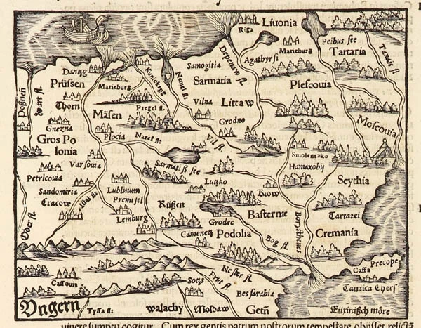
Old, antique map of Eastern Europe (Poland, Lithuania, Russia) by Sebastian Münster.
[No title]
Date of the first edition: 1552.
Date of this map: 1552.
Woodcut, printed on paper.
Map size: 120 x 150mm (4.72 x 5.91 inches).
Sheet size: 300 x 180mm (11.81 x 7.09 inches).
Verso: Latin text.
Condition: Excellent.
Condition Rating: A+.
From: Cosmographiae universalis Lib. VI. ... Basel, Heinrich Petri, 1552. (Karrow, p. 433)
Sebastian Münster (1488-1552)
Sebastian Münster, a German geographer, cartographer, Hebraist, and theologian, was born in Ingelheim, near Mainz In 1505, he went to Heidelberg to enter the Franciscan order. In 1507 he went to Louvain, where he studied mathematics, geography, and astronomy. In 1509 Münster became a student of Konrad Pelikan, who taught Hebrew and Greek as well as mathematics and cosmography. In 1518 he completed his studies at the University of Tübingen. He was the favorite of the famous mathematician and astronomer Johann Stöffler.
In 1524 Münster was appointed professor of Hebrew at Heidelberg University. In 1525 he published his first map as part of a broadside: The Instrument of the Suns combined a map, calendar, astrological almanac, sundial, and nocturnal on one attractive sheet, suitable for wall mounting.
In 1540 he published a Latin edition of Ptolemy's Geographia with illustrations. He based this edition on the Latin translation by Willibald Pirkheimer and produced new maps to supplement the Ptolemaic maps. The twenty-seven maps of the Ptolemaic canon are supplemented by twenty-one new maps. Further editions appeared in 1541 and 1542.
In 1544 he published the Cosmographia, a bulky book with 659 pages and some 520 woodcuts. Maps in this edition included three maps from the Ptolemaic canon and fourteen modern maps (from previous editions of the Geographia), as well as nine new maps. Later editions (1545, 1546, 1548) enlarged the Cosmographia. The 1550 edition contains cities, portraits, and costumes. These editions in both Latin and German constitute the full fruition of Münster's dream of a comprehensive geography.
The Cosmographia was one of the most successful works of the 16th century. It passed through 24 editions in 100 years, in different languages, including Latin, French, Italian, English, and even Czech. The last German edition was published in 1628.
He died at Basel of the plague in 1552.
As a cartographer, Münster deserves special recognition for formulating a plan for a comprehensive and uniform map of a country. As a geographer, his greatest achievement was the Cosmographia. (Karrow).
Related items
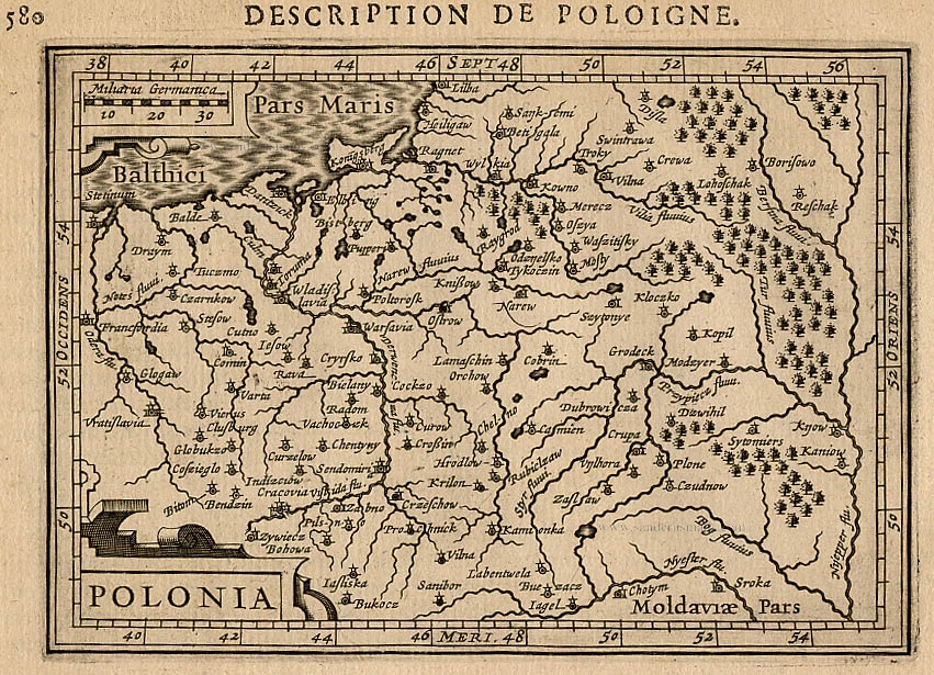
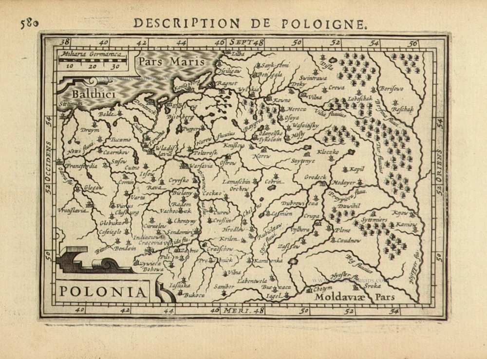
Polonia. 1618
Poland, by Petrus Bertius.
[Item number: 18262]
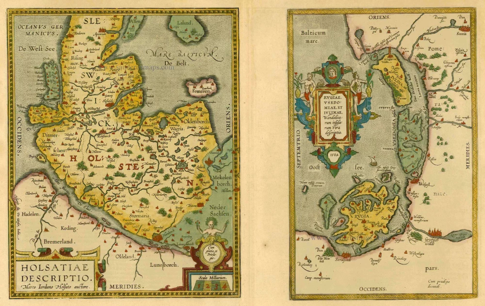
Holsatiae Descriptio [on sheet with] Rugiae, Usedomiae, et Iulinae, Wandalicarum Insularum Vera Descriptio. 1601
Poland - Rügen - Holstein, by Ortelius A.
[Item number: 21277]
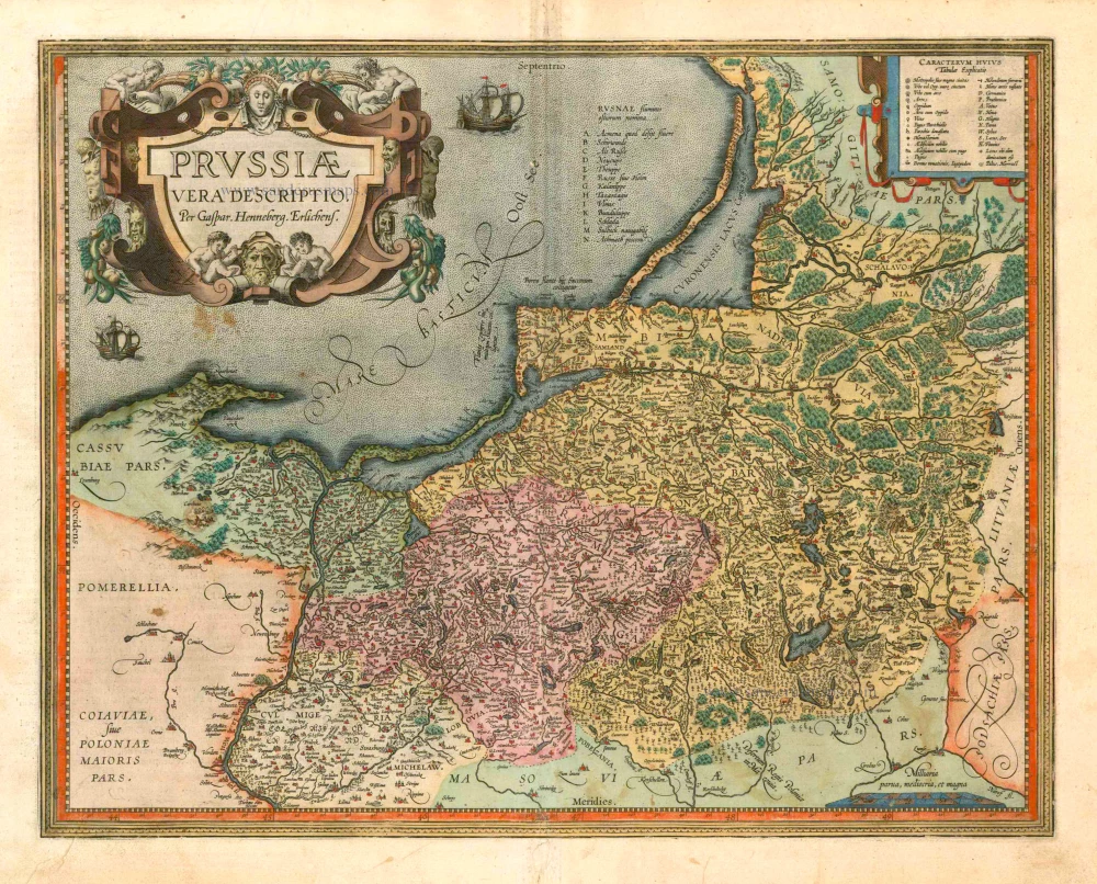
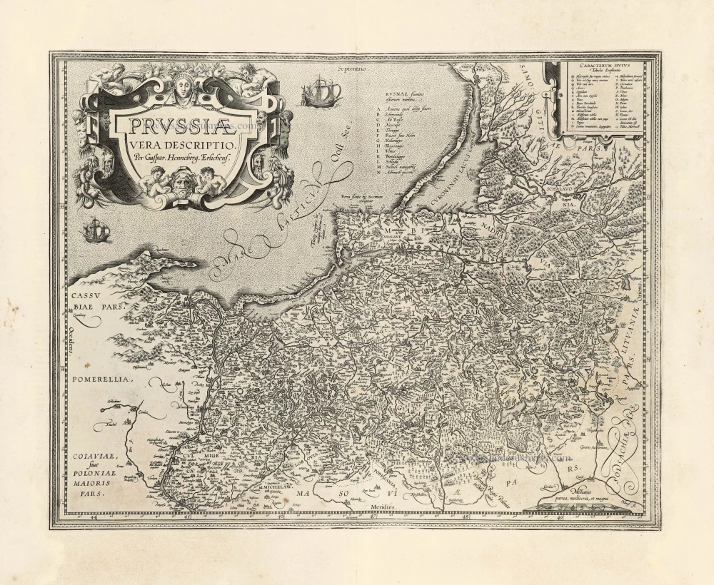
Prussiae Vera Descriptio. 1601
Prussia (Poland) by Abraham Ortelius.
[Item number: 25260]
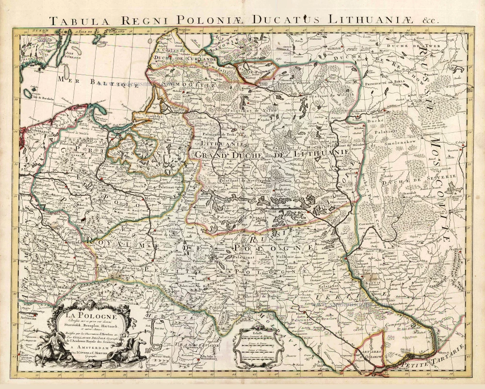
La Pologne Dressée sur ce qu'en ont donné Starovolsk, Beauplan, Hartnoch, et autres auteurs. [Latin title in upper margin:] Tabula Regni Poloniae, Ducatus Lithuaniae &c. 1730
Poland - Lithuania by Guillaume Delisle, published by Covens & Mortier.
[Item number: 25890]
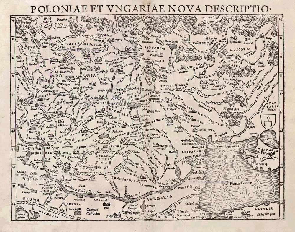
Poloniae et Ungariae Nova Descriptio. 1552
Poland and Hungary, by S. Münster.
[Item number: 25905]
new
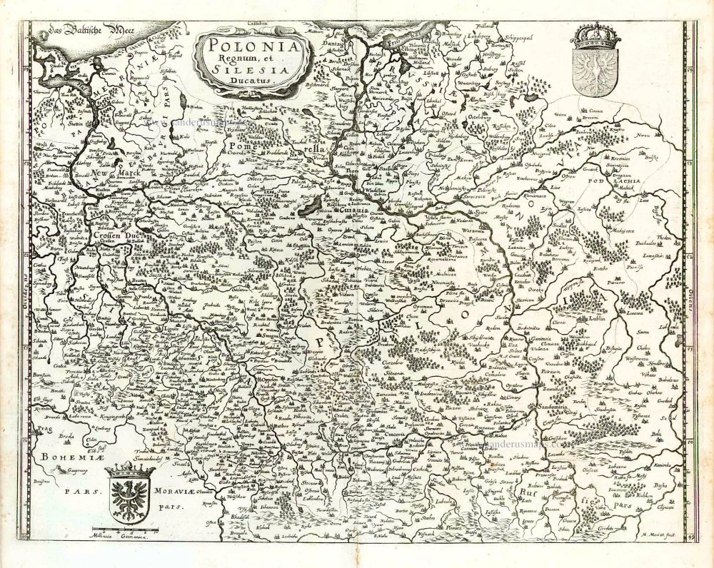
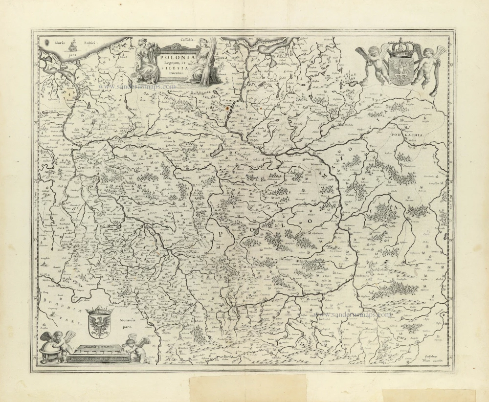
Polonia Regnum et Silesia Ducatus. 1638
Poland, by M. Merian.
[Item number: 25927]
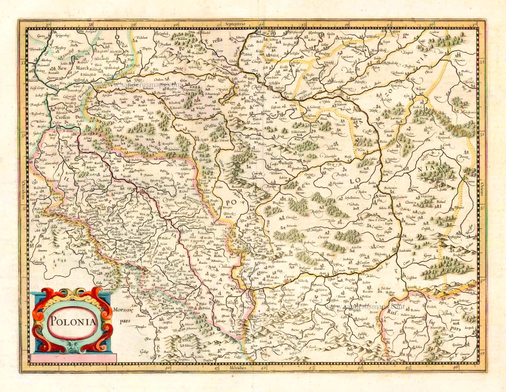
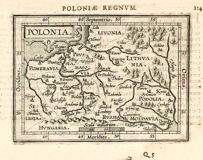
Polonia. 1641
Poland, by Henricus Hondius.
[Item number: 26267]
Polonia. 1609
Poland, by Abraham Ortelius.
[Item number: 27696]
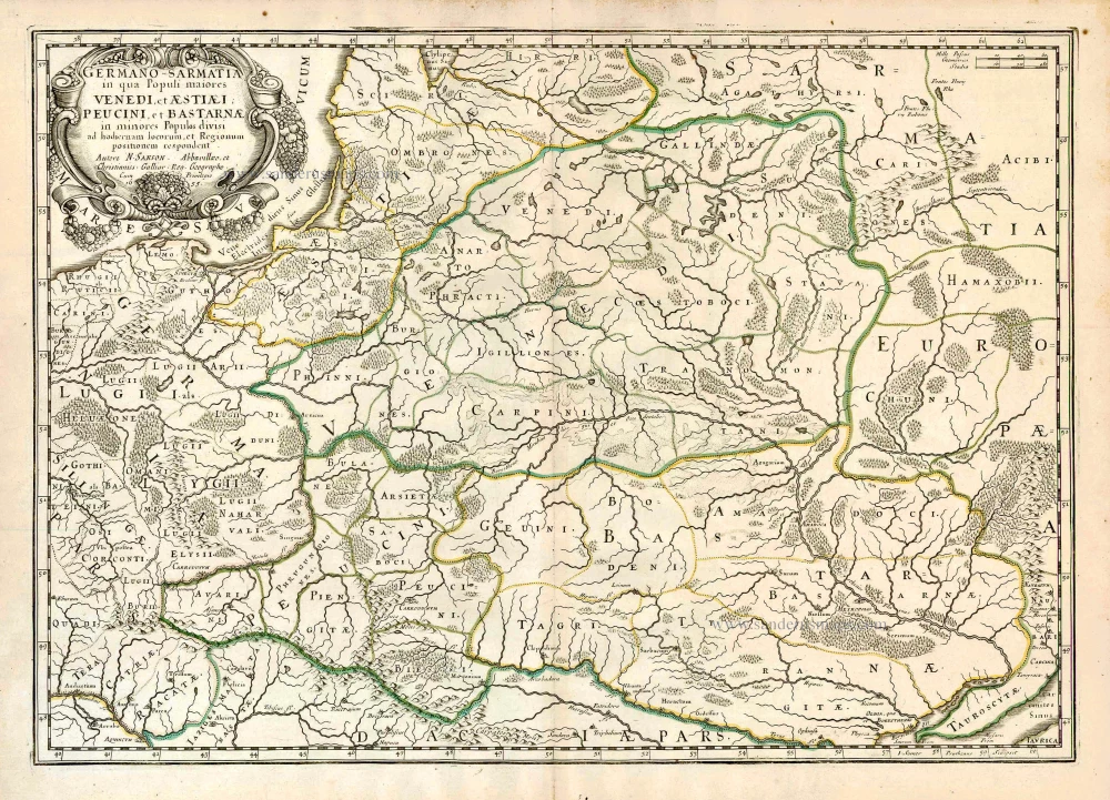
Germano-Sarmatia in qua populi maiores Venedi et Aestiaei Peucini et Bastarnae in minores populos divisi ad hodiernam locorum et regionum positionem respondent. 1658
Poland, Lithuania, Ukraine, Latvia, by Nicolas Sanson.
[Item number: 27918]
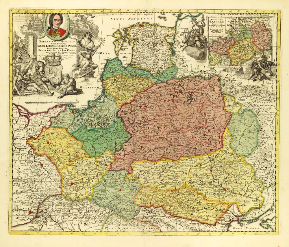
Friderico Augusto Vero Augusto Polon. Lithua. Borus. Pomer. Regi. Duci. Principi. Saxon. Utr. Duci. S. Imp. Elect. Haec. Imperii Sui Regna. c. 1715
Poland - Lithuania by Petrus Schenk.
[Item number: 28264]
Prussiae Vera Descriptio. 1601
Prussia (Poland) by Abraham Ortelius.
[Item number: 30679]
Polonia. 1618
Poland by Petrus Bertius, published by Jodocus Hondius II.
[Item number: 31855]
Polonia Regnum et Silesia Ducatus. 1647
Poland by W. Blaeu.
[Item number: 32565]

Polonia Regnum et Silesia Ducatus. 1642-43
Poland and Silesia, by W. & J. Blaeu.
[Item number: 32580]
new