
Lithuania by Frederick De Wit. c. 1697
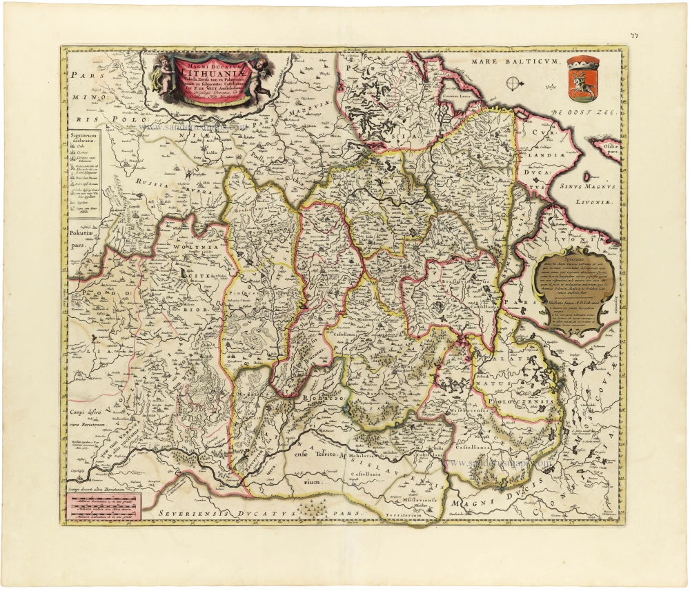
Second state of Blaeu's map 'Magni Ducatus Lithuaniae' (Van der Krogt 2, 1730:B). The title and cartouche changed; the central cartouche was removed, and the geography was altered.
The map depicts the vast territories of the Grand Duchy of Lithuania, extending from the Baltic coast and the borders of Prussia and Poland in the west to the regions of Smolensk and Muscovy in the east, and from Livonia in the north to the Ukrainian territories in the south. The map is oriented with west at the top.
At the time of publication, Lithuania formed part of the Polish–Lithuanian Commonwealth, a powerful political union established by the Union of Lublin in 1569. Although united under a common monarch and parliament, the Grand Duchy retained its own administrative institutions, laws and military organisation.
The map provides a remarkably detailed representation of Lithuania's political and administrative divisions, distinguishing its various palatinates (województwa) and castellanies through original outline colouring. Numerous towns, villages, rivers, forests, lakes and roads are carefully delineated, illustrating the extensive geographical knowledge of the region available to Dutch cartographers at the end of the seventeenth century.
Particularly prominent are the cities of Vilnius (Wilna), Kaunas (Kowno), Grodno, Brest-Litovsk, Minsk and Polotsk, together with the important river systems of the Neman (Memel), Western Dvina (Daugava) and Dnieper. The map also identifies the neighbouring territories of Livonia, Courland, Prussia, Poland and Muscovy.
The decorative title cartouche in the upper left corner is supported by two putti and bears the Latin title Magni Ducatus Lithuaniae Tabula, divisa tam in Palatinatus, quam in subjacentes Castellanias. In the opposite corner appears the coat of arms of Lithuania, depicting the Vytis, an armoured horseman carrying a raised sword.
A large ornamental cartouche on the right contains a geographical and historical explanation of the region, while a separate legend identifies the symbols used for different categories of settlements and administrative centres. Three graphic scales appear in the lower left corner.
The map is an excellent example of the decorative and technically accomplished cartography produced in Amsterdam during the Dutch Golden Age. De Wit's maps were highly regarded for their geographical detail, elegant engraving and attractive colouring, and were frequently included in composite atlases assembled for wealthy European collectors.
An attractive and historically important map of the Grand Duchy of Lithuania, distinguished by its elaborate cartouches, finely engraved topographical detail and original seventeenth-century colouring.
Frederick de Wit (1630-1706)
The engraver and map-seller, Frederick de Wit, was born in Gouda (Netherlands) in 1630 as a son of Hendrick Fredericksz de Wit. Through his marriage with Maria van der Waag of Amsterdam in 1661, he obtained citizenship of the city where he had been working since 1648 and where he became one of the most famous engravers of maps of the second half of the 17th century. Although De Wit was a Catholic, which meant that he was not favoured at the time by the city council, he was awarded the honour of being listed as one of the "excellent citizens" on the roll of the city council in the years 1694-1704. However, his name was not written in the Guild of St. Luke book before 1664. At that time, he lived on the Kalverstraat "in de Witte Pascaert", where he stayed until his death in 1706. His earliest dates on maps engraved are 1659 (Regni Daniae) and 1660 (World map).
Frederick de Wit published several world atlases, a sea atlas, and an atlas of the Netherlands.
The dating of the maps is difficult. However, as a privilege was granted in 1689, the annotation 'cum privilegio' marks an edition after 1688.
Around 1700, Frederick de Wit entered the market with a town atlas. He produced two volumes with a total of 260 plans and views. Most were printed from plates used for Janssonius and Blaeu town atlases.
After he died in 1706, his widow continued the shop until 1709. The plates and stock of De Wit's atlas were sold to Covens & Mortier in 1710, who sold the atlas for an extended period.
Magni Ducatus Lithuaniae Tabula, divisa tam in Palatinatus, quam in subjacentes Castellanias.
Item Number: 33368 new Authenticity Guarantee
Category: Antique maps > Europe > Eastern Europe
Lithuania by Frederick De Wit.
Title: Magni Ducatus Lithuaniae Tabula, divisa tam in Palatinatus, quam in subjacentes Castellanias.
Per F. De Witt. Amstelodami
Cum Privilegio Potentiss. D.D. Ordinum Holl. Westfrisiaeq.
Oriented to the west.
Date of the first edition: c. 1697-1704.
Date of this map: c. 1697.
Copper engraving, printed on paper.
Image size: 445 x 525mm (17½ x 20¾ inches).
Sheet size: 540 x 630mm (21¼ x 24¾ inches).
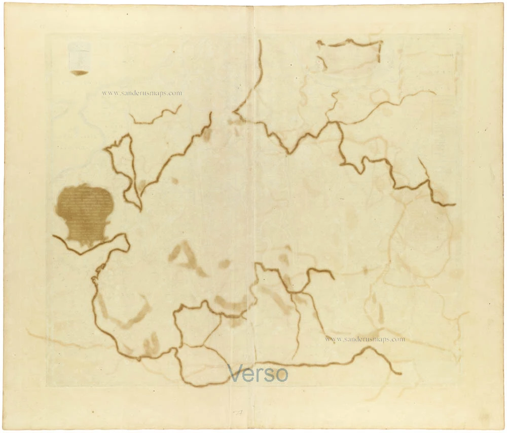
Verso: Blank.
Condition: Original coloured, green colour (verdigris) turned brown.
Condition Rating: A.
From: De Wit Atlas. Amsterdam, c. 1691-97.
Second state of Blaeu's map 'Magni Ducatus Lithuaniae' (Van der Krogt 2, 1730:B). The title and cartouche changed; the central cartouche was removed, and the geography was altered.
The map depicts the vast territories of the Grand Duchy of Lithuania, extending from the Baltic coast and the borders of Prussia and Poland in the west to the regions of Smolensk and Muscovy in the east, and from Livonia in the north to the Ukrainian territories in the south. The map is oriented with west at the top.
At the time of publication, Lithuania formed part of the Polish–Lithuanian Commonwealth, a powerful political union established by the Union of Lublin in 1569. Although united under a common monarch and parliament, the Grand Duchy retained its own administrative institutions, laws and military organisation.
The map provides a remarkably detailed representation of Lithuania's political and administrative divisions, distinguishing its various palatinates (województwa) and castellanies through original outline colouring. Numerous towns, villages, rivers, forests, lakes and roads are carefully delineated, illustrating the extensive geographical knowledge of the region available to Dutch cartographers at the end of the seventeenth century.
Particularly prominent are the cities of Vilnius (Wilna), Kaunas (Kowno), Grodno, Brest-Litovsk, Minsk and Polotsk, together with the important river systems of the Neman (Memel), Western Dvina (Daugava) and Dnieper. The map also identifies the neighbouring territories of Livonia, Courland, Prussia, Poland and Muscovy.
The decorative title cartouche in the upper left corner is supported by two putti and bears the Latin title Magni Ducatus Lithuaniae Tabula, divisa tam in Palatinatus, quam in subjacentes Castellanias. In the opposite corner appears the coat of arms of Lithuania, depicting the Vytis, an armoured horseman carrying a raised sword.
A large ornamental cartouche on the right contains a geographical and historical explanation of the region, while a separate legend identifies the symbols used for different categories of settlements and administrative centres. Three graphic scales appear in the lower left corner.
The map is an excellent example of the decorative and technically accomplished cartography produced in Amsterdam during the Dutch Golden Age. De Wit's maps were highly regarded for their geographical detail, elegant engraving and attractive colouring, and were frequently included in composite atlases assembled for wealthy European collectors.
An attractive and historically important map of the Grand Duchy of Lithuania, distinguished by its elaborate cartouches, finely engraved topographical detail and original seventeenth-century colouring.
Frederick de Wit (1630-1706)
The engraver and map-seller, Frederick de Wit, was born in Gouda (Netherlands) in 1630 as a son of Hendrick Fredericksz de Wit. Through his marriage with Maria van der Waag of Amsterdam in 1661, he obtained citizenship of the city where he had been working since 1648 and where he became one of the most famous engravers of maps of the second half of the 17th century. Although De Wit was a Catholic, which meant that he was not favoured at the time by the city council, he was awarded the honour of being listed as one of the "excellent citizens" on the roll of the city council in the years 1694-1704. However, his name was not written in the Guild of St. Luke book before 1664. At that time, he lived on the Kalverstraat "in de Witte Pascaert", where he stayed until his death in 1706. His earliest dates on maps engraved are 1659 (Regni Daniae) and 1660 (World map).
Frederick de Wit published several world atlases, a sea atlas, and an atlas of the Netherlands.
The dating of the maps is difficult. However, as a privilege was granted in 1689, the annotation 'cum privilegio' marks an edition after 1688.
Around 1700, Frederick de Wit entered the market with a town atlas. He produced two volumes with a total of 260 plans and views. Most were printed from plates used for Janssonius and Blaeu town atlases.
After he died in 1706, his widow continued the shop until 1709. The plates and stock of De Wit's atlas were sold to Covens & Mortier in 1710, who sold the atlas for an extended period.
Related items

La Pologne Dressée sur ce qu'en ont donné Starovolsk, Beauplan, Hartnoch, et autres auteurs. [Latin title in upper margin:] Tabula Regni Poloniae, Ducatus Lithuaniae &c. 1730
Poland - Lithuania by Guillaume Delisle, published by Covens & Mortier.
[Item number: 25890]

Carte de la Lithuanie Russienne qui Comprend les Palatinats de Livonie, de Witepsk, de Miscislaw, et une Partie de ceux de Polock et de Minsk Cédés par la Pologne a la Russie. 1776-79
Bellarus and parts of Lithuania and Ukraine, by Francesco Santini.
[Item number: 26969]

Germano-Sarmatia in qua populi maiores Venedi et Aestiaei Peucini et Bastarnae in minores populos divisi ad hodiernam locorum et regionum positionem respondent. 1658
Poland, Lithuania, Ukraine, Latvia, by Nicolas Sanson.
[Item number: 27918]

Friderico Augusto Vero Augusto Polon. Lithua. Borus. Pomer. Regi. Duci. Principi. Saxon. Utr. Duci. S. Imp. Elect. Haec. Imperii Sui Regna. c. 1715
Poland - Lithuania by Petrus Schenk.
[Item number: 28264]

Li Palatinati di Wilna, Troji, Inflant, coi Ducati di Kurlandia, e Smuz. 1779-1785
Lithuania - Latvia, by Antonio Zatta.
[Item number: 32135]
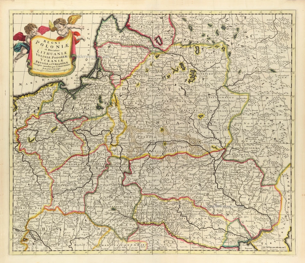
Scarce
Regni Poloniae et Ducatus Lithuaniae Voliniae, Podoliae Ucraniae Prussiae et Curlandiae. c. 1680
Poland, Lithuania, and Ukraine by Justus Danckerts
[Item number: 32513]
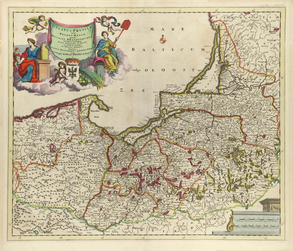
Ducatus Prussiae tam Polono Regiae, quam Brandenburgo, correcta Descriptio, et Divisio Regiae scilicet in tres Palatinatus, et Ducalis in totidem Circulos, cim Utriusq. Subdivisione in Tractus minores. 1696-1713
Prussia (Poland - Lithuania) by Justus Danckerts.
[Item number: 32521]
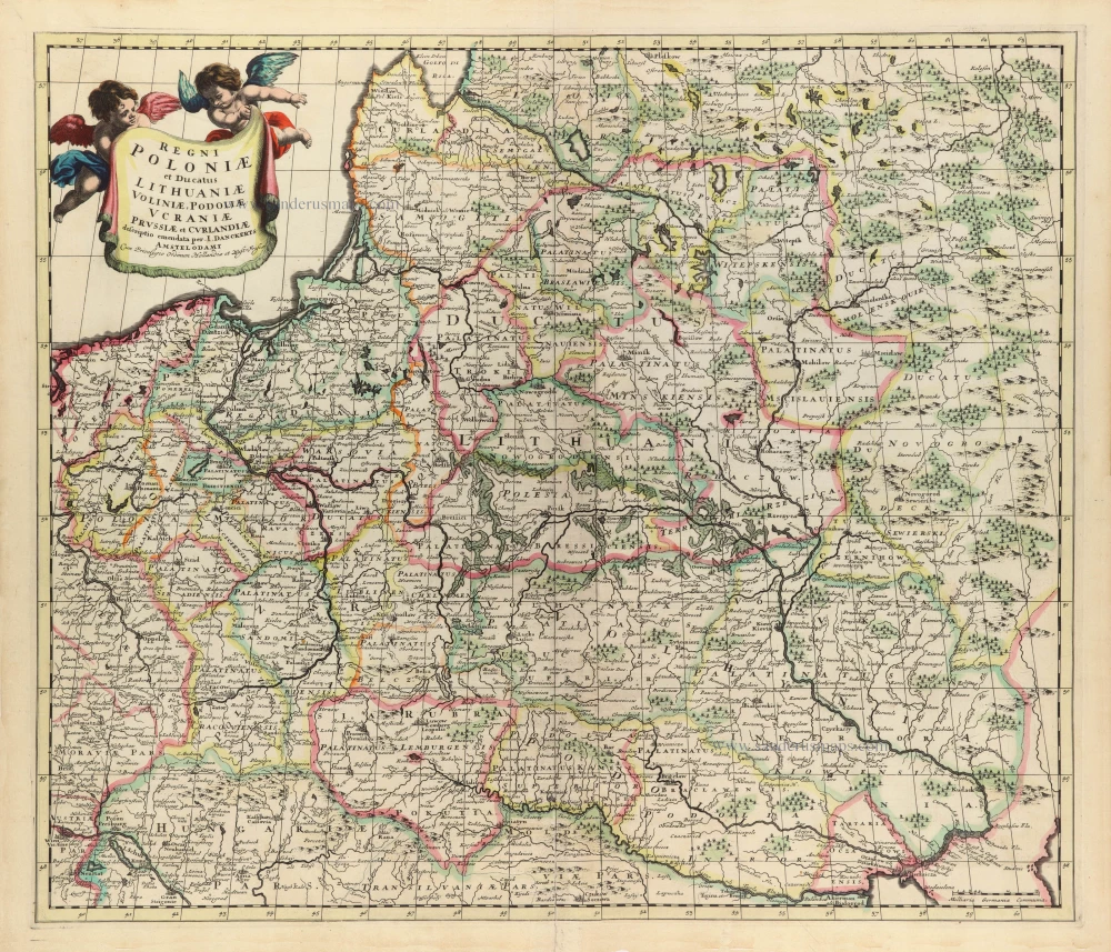
Scarce
Regni Poloniae et Ducatus Lithuaniae Voliniae, Podoliae Ucraniae Prussiae et Curlandiae. c. 1680
Poland, Lithuania, and Ukraine by Justus Danckerts
[Item number: 32686]

Reipublicae et Status Generalis Poloniae Nova Tabula, Comprehendens Maioris et Minoris Poloniae Regni Magni Ducatus Lithuaniae, Ducatus Prussiae, Curlandiae, Russiae, Ucraniae et Podoliae. c. 1691-97
Lithuania by Frederick de Wit.
[Item number: 32698]

RARE FIRST STATE
Stati della Corona di Polonia. 1684
Poland - Lithuania, by Nicolas Sanson, published by Giovanni Giacomo de Rossi.
[Item number: 32904]

Lithuania. 1630
Lithuania, by Gerard Mercator.
[Item number: 32925]
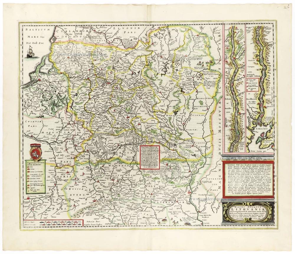
Magni Ducatus Lithuaniae Caeterarumq. Regionum Illi Adiacentium Exacta Descrip. . . . 1666
Lithuania by Johannes Janssonius.
[Item number: 33097]