
Scarce
Lorraine, by Gerard de Jode. 1593

"In 1578 Gerard de Jode published his Speculum Orbis Terrarum, an atlas aimed at competing with the Theatrum of Ortelius. However, the latter had first been issued in 1570 and had already built a commanding market presence, and so despite de Jode's longer standing reputation the atlas did not sell very well. Only a dozen or so examples have survived. Undeterred, he made plans for another expanded edition, and upon his death in 1591 it was taken on by his son Cornelis. The Speculum Orbis Terrae of 1593 likewise did not sell well and was never reissued. Although more examples than the first edition have survived, it too is very scarce. Many of de Jode's maps are judged to be superior to those of Ortelius, both in detail and style." (Burden)
Gerard and Cornelis de Jode
Gerard de Jode (Judaeus) (1508(?)-1591), a native of Nijmegen, began his career as a printer and engraver in Antwerp about 1550. He lived near the Bourse on the Catelijne Veste, or on "de Catte". He was in regular contact with Christoffel Plantin, to whom he sold many prints and maps. De Jode's business, which must have been a major one among Antwerp's many booksellers and printers, was represented at the Frankfurt fair, where de Jode bought maps that he later copied or resold. Most of the maps sold by De Jode have prototypes of Italian or German origin. Apart from his many separately published maps, Gerard de Jode is known for his atlas, Speculum Orbis Terrarum, published in 1578. Part of the engraving was done by himself, and part by his brothers Jan and Lucas van Doetecum.
Gerard de Jode and Abraham Ortelius, who both lived partly as map sellers, were competitors and were only sometimes on good terms.
After the death of Gerard de Jode in 1591, the business was carried on by his widow, Pascale van Gelder and his son, Cornelis (1568-1600). More a publisher than an engraver, the latter reissued the Speculum in 1593, adding new maps and revising others.
Despite all its deficiencies, the Speculum must have had a good reputation. It is mentioned alongside Mercator's Atlas and Ortelius's Theatrum in Petrus Montanus's preface to Pieter van den Keere's Germania Inferior.
Lotharingia Ducatus.
Item Number: 15608 Authenticity Guarantee
Category: Antique maps > Europe > France
Antique map of Lorraine, by Gerard de Jode.
Title: Lotharingia Ducatus.
Date: 1593.
Copper engraving, printed on paper.
Size (not including margins): 360 x 500mm (14.17 x 19.69 inches).
Verso: Latin text.
Condition: Original coloured, excellent.
Condition Rating: A+.
From: Speculum Orbis Terrae. Antwerpen, G. De Jode, 1593. (Van der Krogt 3, 2:02)
"In 1578 Gerard de Jode published his Speculum Orbis Terrarum, an atlas aimed at competing with the Theatrum of Ortelius. However, the latter had first been issued in 1570 and had already built a commanding market presence, and so despite de Jode's longer standing reputation the atlas did not sell very well. Only a dozen or so examples have survived. Undeterred, he made plans for another expanded edition, and upon his death in 1591 it was taken on by his son Cornelis. The Speculum Orbis Terrae of 1593 likewise did not sell well and was never reissued. Although more examples than the first edition have survived, it too is very scarce. Many of de Jode's maps are judged to be superior to those of Ortelius, both in detail and style." (Burden)
Gerard and Cornelis de Jode
Gerard de Jode (Judaeus) (1508(?)-1591), a native of Nijmegen, began his career as a printer and engraver in Antwerp about 1550. He lived near the Bourse on the Catelijne Veste, or on "de Catte". He was in regular contact with Christoffel Plantin, to whom he sold many prints and maps. De Jode's business, which must have been a major one among Antwerp's many booksellers and printers, was represented at the Frankfurt fair, where de Jode bought maps that he later copied or resold. Most of the maps sold by De Jode have prototypes of Italian or German origin. Apart from his many separately published maps, Gerard de Jode is known for his atlas, Speculum Orbis Terrarum, published in 1578. Part of the engraving was done by himself, and part by his brothers Jan and Lucas van Doetecum.
Gerard de Jode and Abraham Ortelius, who both lived partly as map sellers, were competitors and were only sometimes on good terms.
After the death of Gerard de Jode in 1591, the business was carried on by his widow, Pascale van Gelder and his son, Cornelis (1568-1600). More a publisher than an engraver, the latter reissued the Speculum in 1593, adding new maps and revising others.
Despite all its deficiencies, the Speculum must have had a good reputation. It is mentioned alongside Mercator's Atlas and Ortelius's Theatrum in Petrus Montanus's preface to Pieter van den Keere's Germania Inferior.
Related items

Scarce
Typus Corographicus Veromanduae Partis Galliae Belgicae [on sheet with] Sabaudiae Ducatus, seu Narbonensis Galliae Partis, vera Germanaque Delineatio 1593
Vermandois and Savoie, by Gerard de Jode.
[Item number: 3504]
Scarce
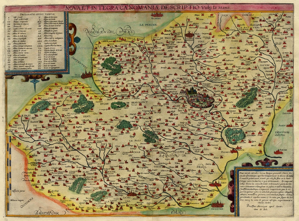
Nova et Integra Caenomaniae Descriptio vulg: la Mans 1593
Maine (Le Mans), by Gerard de Jode.
[Item number: 3942]

Lorraine. - Lotharingiae Nova Descriptio. 1603
Lorraine by Ortelius A.
[Item number: 22882]

Tres rare!
Lotharingiae Ducatus Superioris vera delineatio. - Description de la Haulte et Superieure Lorraine. c. 1610-1650
Lorraine by Johann Bussemacher.
[Item number: 30897]

Extremely rare wall map
Carte des Duchéz de Lorraine et Bar. 1634
Lorraine by C. Tassin, in four sheets.
[Item number: 30990]

Lorraine, vers le midi. c. 1630-1633
Southern Lorraine by M. Bougereau.
[Item number: 31114]

Lorraine vers Septentrion. Rare c. 1610-1650
Lorraine by Maurice Bouguereau, published by Jean Leclerc.
[Item number: 31307]
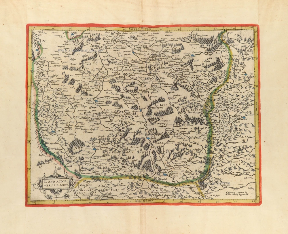
Lorraine, vers le Midy. c. 1610-1650
Lorraine (South) by Maurice Bouguereau. Rare
[Item number: 31309]

Lotharingiae Tabula Generalis in qua Ducatus Lotharingiae et Barri nec non Metensis, Tullensis et Verdurensis et finitimis Ditionibus exhibentur 1712
Lorraine, by Johann Baptist Homann.
[Item number: 33255]
new