This product is successfully added to your cart
Questions about this product? (#31114)

Authenticity Guarantee
All items are guaranteed authentic prints (woodcuts or engravings) or manuscripts made at or about (c.) the given date and in good condition unless stated otherwise. We don’t sell facsimiles or reproductions. We deliver every map with a Certificate of Authenticity containing all the details.

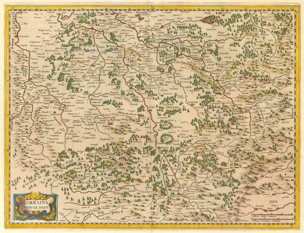
Southern Lorraine by M. Bougereau. c. 1630-1633

Maurice Bouguereau (? - 1596) 

Maurice Bouguereau worked in Tours as a French printer, bookseller, cartographer, and publisher. From 1588 to 1596, his address there was 'à la Petite Fontaine du Carroy de Beaulne', in the Rue de la Scellerie.

The most important work of Maurice Bouguereau was the atlas Le Theatre Francoys (20 maps), which he published in Tours in 1594. It was the first atlas of France ever and, thus, a milestone in the history of French cartography. Henry IV commissioned him to produce this work (1553–1610); who was fighting for the unification of his kingdom at the time and wanted to demonstrate his power and greatness with this publication. 

back

Lorraine, vers le midi.

€320  ($336 / £265.6)
add to cart
Buy now
questions?
PRINT

Item Number:  31114  new Authenticity Guarantee

Category:  Antique maps > Europe > France

Southern Lorraine by M. Bougereau.

Title: Lorraine, vers le midi.
Caesaroduni Turorum in Aedibus Mauricii Boguerealdi.

Cartographer: Gerard Mercator.

Date of the first edition: 1594.
Date of this map: c. 1630-1633.

Copper engraving, printed on paper.
Image size: 360 x 465mm (14.17 x 18.31 inches).
Sheet size: 510 x 680mm (20.08 x 26.77 inches).
Verso: Blank.
Condition: Original coloured, excellent.
Condition Rating: A+.

Separate publication - from a French Composite Atlas, c. 1610-1650.

An old French handwritten explanatory text is in the side margins.

This map is copied from that of Mercator published in Galliae tabulae geographicae, Duisburg, 1585.

Maurice Bouguereau (? - 1596) 

Maurice Bouguereau worked in Tours as a French printer, bookseller, cartographer, and publisher. From 1588 to 1596, his address there was 'à la Petite Fontaine du Carroy de Beaulne', in the Rue de la Scellerie.

The most important work of Maurice Bouguereau was the atlas Le Theatre Francoys (20 maps), which he published in Tours in 1594. It was the first atlas of France ever and, thus, a milestone in the history of French cartography. Henry IV commissioned him to produce this work (1553–1610); who was fighting for the unification of his kingdom at the time and wanted to demonstrate his power and greatness with this publication. 

References: Pastoureau - p. 82, [11]

Related items

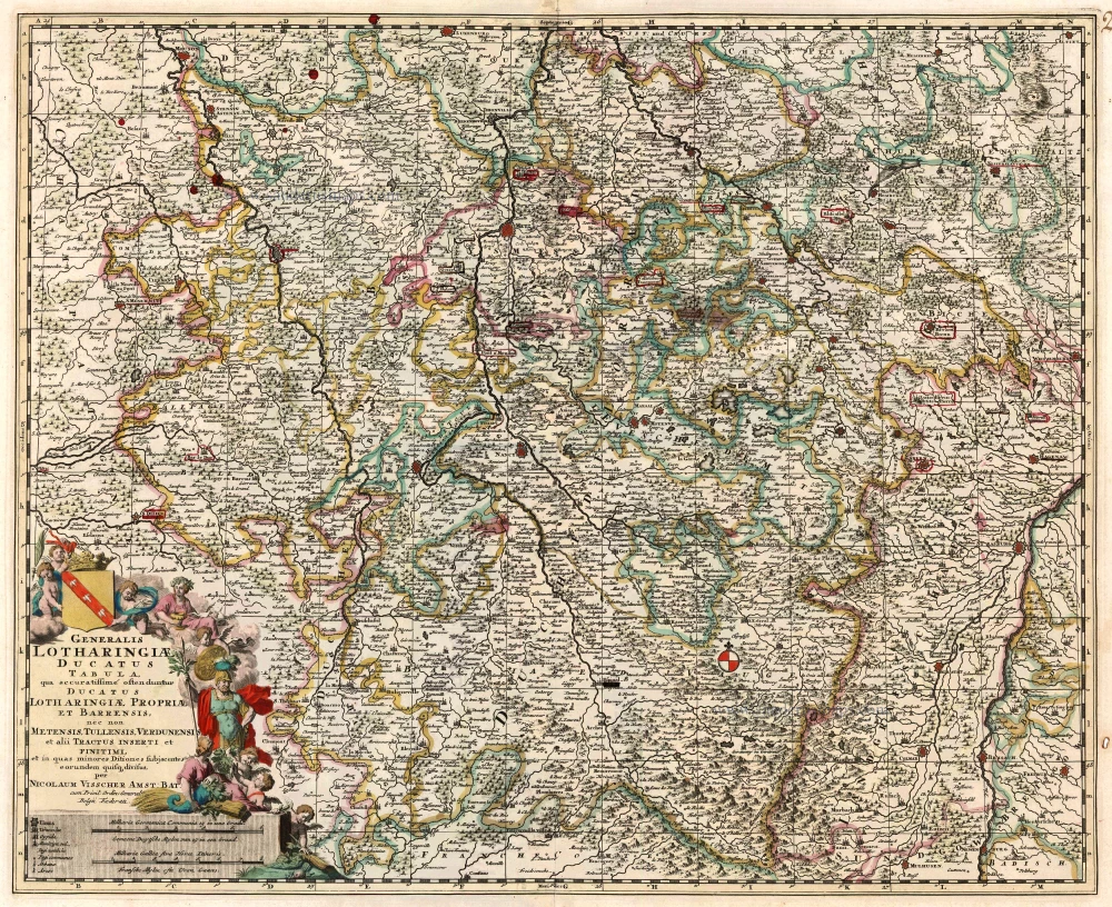
Lorraine by Visscher N.

Generalis Lotharingiae Ducatus Tabula ... 1683-1696
Lorraine by Visscher N.
[Item number: 1278]

€225  ($236.25 / £186.75)
Lorraine by Hondius - Janssonius

Lorraine, Vers Le Midi 1636
Lorraine by Hondius - Janssonius
[Item number: 8502]

€170  ($178.5 / £141.1)
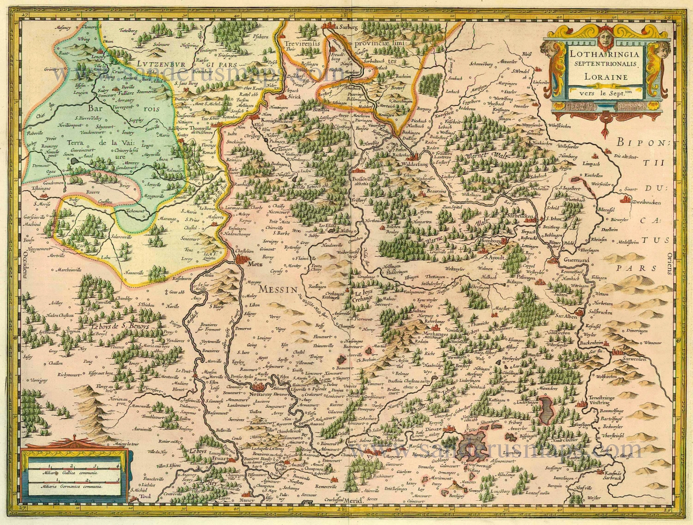
Lorraine (Nord) by Janssonius - Hondius

Lotharingia Septentrionalis Loraine 1633
Lorraine (Nord) by Janssonius - Hondius
[Item number: 8513]

€250  ($262.5 / £207.5)
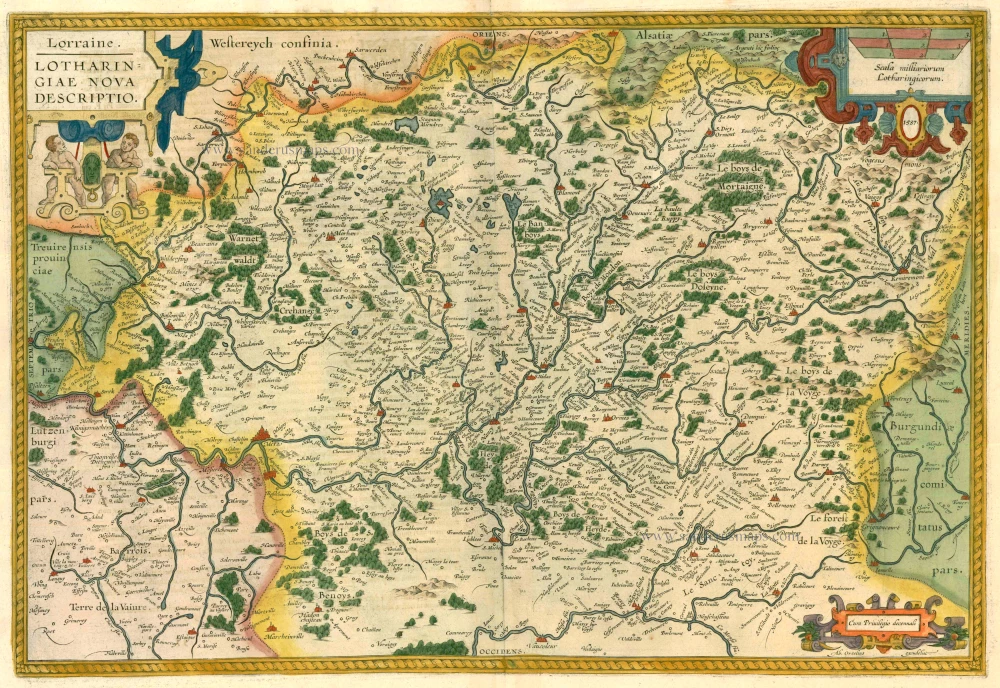
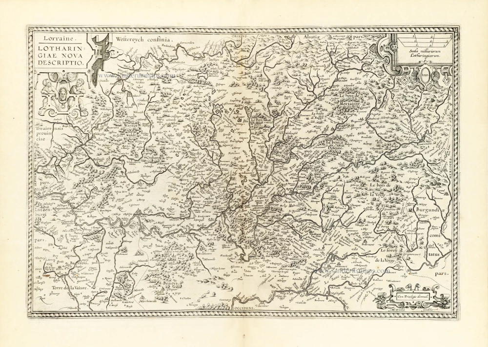
Lorraine, by Abraham Ortelius.

Lorraine. - Lotharingiae Nova Descriptio. 1612
Lorraine, by Abraham Ortelius.
[Item number: 13689]

€300  ($315 / £249)
Lorraine, by Blaeu W. & J.

Lotharingia Ducatus 1642-43
Lorraine, by Blaeu W. & J.
[Item number: 14385]

€250  ($262.5 / £207.5)
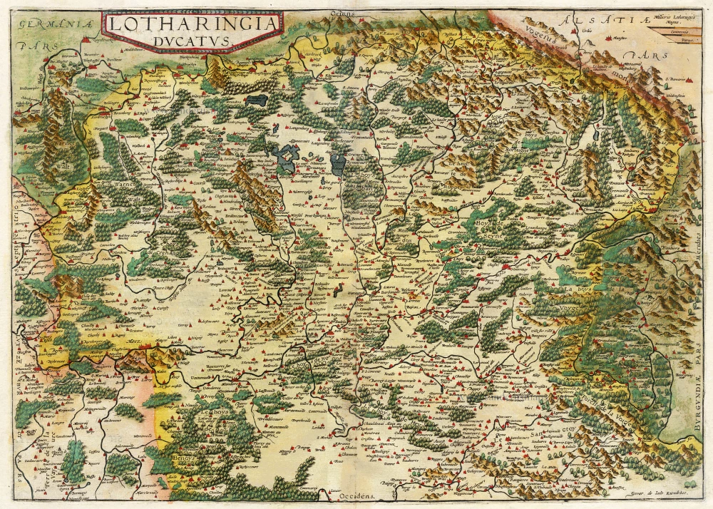
Lorraine, by Gerard de Jode.

Scarce
Lotharingia Ducatus. 1593
Lorraine, by Gerard de Jode.
[Item number: 15608]

€500  ($525 / £415)
Lorraine by Ortelius A.

Lorraine. - Lotharingiae Nova Descriptio. 1603
Lorraine by Ortelius A.
[Item number: 22882]

€250  ($262.5 / £207.5)
Lorraine, by F. De Wit.

Generalis Lotharingiae Ducatus Tabula qua accuratissimé oftenduntur Ducatus Lotharingiae Propriae et Barrensis, nec non Metensis, Tullensis, Verdunensis, et alii Tractus Inserti et Finitimi, ... c. 1680
Lorraine, by F. De Wit.
[Item number: 24374]

€300  ($315 / £249)
Lorraine by Gerard Mercator.

Lotharingia Ducatus 1623
Lorraine by Gerard Mercator.
[Item number: 24939]

€300  ($315 / £249)
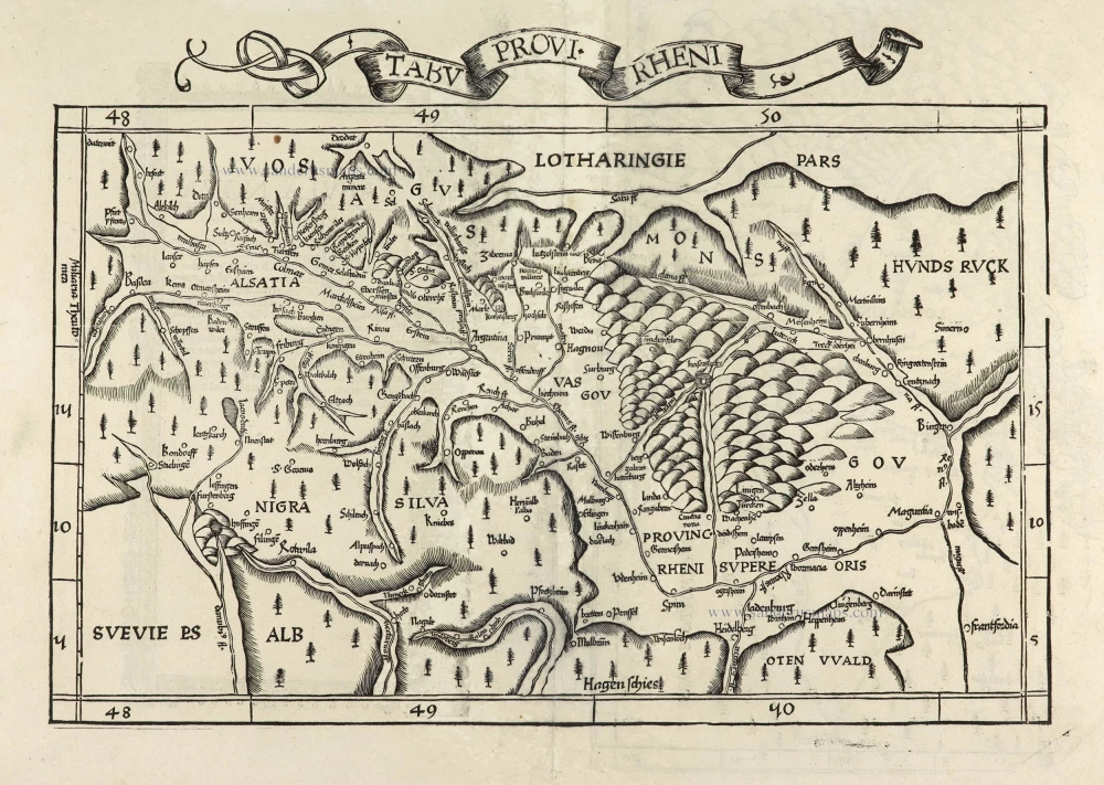
Rheinland-Pfalz (Lorraine on verso) by Lorenz Fries.

Tabu Provi. Rheni. 1525
Rheinland-Pfalz (Lorraine on verso) by Lorenz Fries.
[Item number: 28200]

€750  ($787.5 / £622.5)
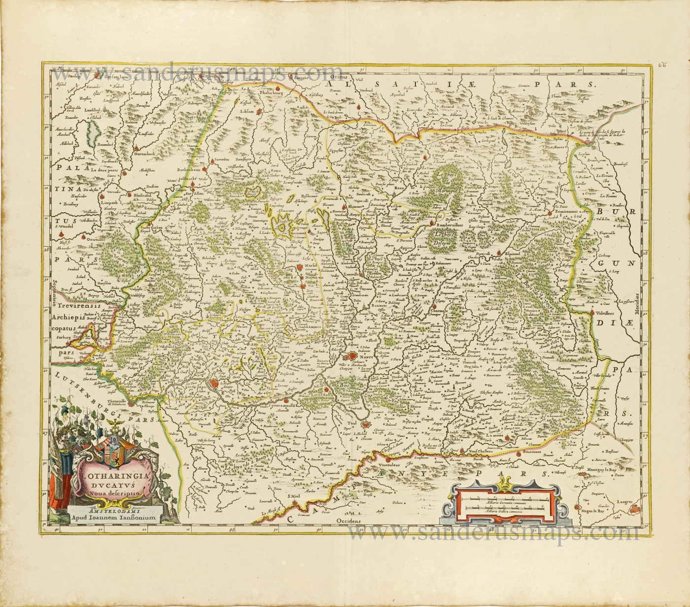
Lorraine by Joannes Janssonius.

Lotharingia Ducatus.Nova descriptio. 1656-80
Lorraine by Joannes Janssonius.
[Item number: 28621]

€280  ($294 / £232.4)
Lorraine by Johann Bussemacher.

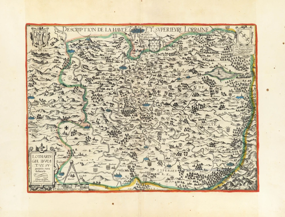
Lotharingiae Ducatus Superioris vera delineatio. - Description de la Haulte et Superieure Lorraine. c. 1610-1650
Lorraine by Johann Bussemacher.
[Item number: 30897]

€800  ($840 / £664)
Extremely rare wall map of Lorraine (France) by C. Tassin, in four sheets.

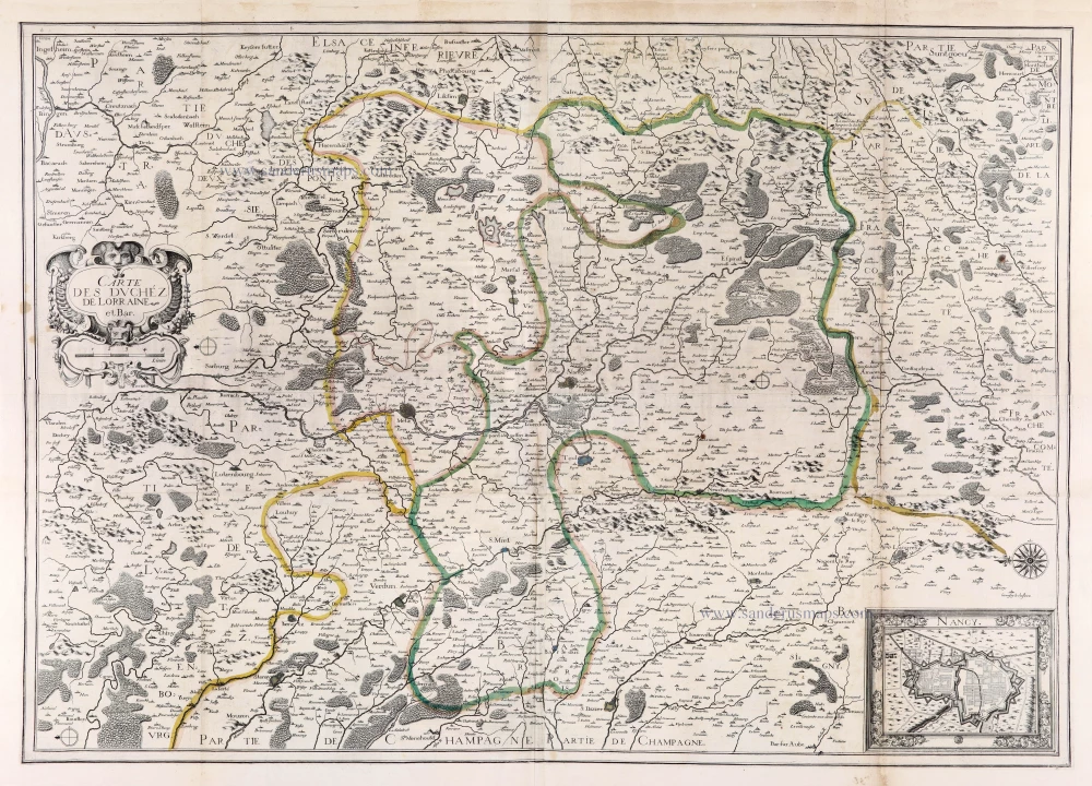
Carte des Duchéz de Lorraine et Bar. 1634
Extremely rare wall map of Lorraine (France) by C. Tassin, in four sheets.
[Item number: 30990]

€1700  ($1785 / £1411)