
Tres rare!
Lorraine by Johann Bussemacher. c. 1610-1650

Johann Bussemacher (florished 1580-1613)
Johann Bussemacher was a German engraver, publisher, printer and art dealer. Beginning in the 17th century, he was the most successful publisher in Cologne.
Lotharingiae Ducatus Superioris vera delineatio. - Description de la Haulte et Superieure Lorraine.
Item Number: 30897 Authenticity Guarantee
Category: Antique maps > Europe > France
Lorraine by Johann Bussemacher. VERY RARE
Title: Lotharingiae Ducatus Superioris vera delineatio. - Description de la Haulte et Superieure Lorraine.
Coloniae Agrippinae excudit Ioann Bussemecher.
RDH Autore.
Cartographer: R. du Haut.
Date of the first edition: c. 1590.
Date of this map: c. 1610-1650.
Copper engraving, printed on paper.
Image size: 365 x 505mm (14.37 x 19.88 inches).
Sheet size: 505 x 685mm (19.88 x 26.97 inches).
Verso: Blank.
Condition: Original coloured in outline, on heavy paper, side margins extended; excellent.
Condition Rating: A+.
Separate publication - from a French Composite Atlas, c. 1610-1650.
Johann Bussemacher (florished 1580-1613)
Johann Bussemacher was a German engraver, publisher, printer and art dealer. Beginning in the 17th century, he was the most successful publisher in Cologne.
Related items

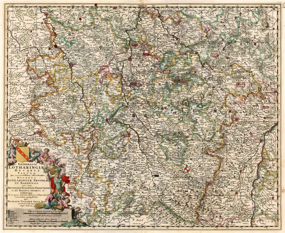
Generalis Lotharingiae Ducatus Tabula ... 1683-1696
Lorraine by Visscher N.
[Item number: 1278]

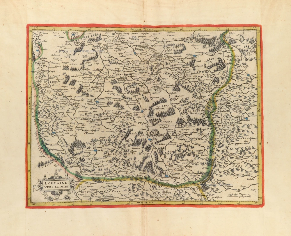
Lorraine, Vers Le Midi 1636
Lorraine by Hondius - Janssonius
[Item number: 8502]

Lotharingia Septentrionalis Loraine 1633
Lorraine (Nord) by Janssonius - Hondius
[Item number: 8513]

Lorraine. - Lotharingiae Nova Descriptio. 1612
Lorraine, by Abraham Ortelius.
[Item number: 13689]

Lotharingia Ducatus, Vulgo Lorraine 1642-43
Lorraine, by Blaeu W. & J.
[Item number: 14385]

Scarce
Lotharingia Ducatus. 1593
Lorraine, by Gerard de Jode.
[Item number: 15608]

Lorraine. - Lotharingiae Nova Descriptio. 1603
Lorraine by Ortelius A.
[Item number: 22882]
Generalis Lotharingiae Ducatus Tabula qua accuratissimé oftenduntur Ducatus Lotharingiae Propriae et Barrensis, nec non Metensis, Tullensis, Verdunensis, et alii Tractus Inserti et Finitimi, ... c. 1680
Lorraine, by F. De Wit.
[Item number: 24374]

Lotharingia Ducatus.Nova descriptio. 1656-80
Lorraine by Joannes Janssonius.
[Item number: 28621]

Extremely rare wall map
Carte des Duchéz de Lorraine et Bar. 1634
Lorraine by C. Tassin, in four sheets.
[Item number: 30990]

Lorraine, vers le midi. c. 1630-1633
Southern Lorraine by M. Bougereau.
[Item number: 31114]

Lorraine vers Septentrion. Rare c. 1610-1650
Lorraine by Maurice Bouguereau, published by Jean Leclerc.
[Item number: 31307]
Lorraine, vers le Midy. c. 1610-1650
Lorraine (South) by Maurice Bouguereau. Rare
[Item number: 31309]