
Rare
Bretagne by Maurice Bouguereau, published by Jean Leclerc. 1619-21
Maurice Bouguereau (? - 1596)
Maurice Bouguereau worked in Tours as a French printer, bookseller, cartographer, and publisher. From 1588 to 1596, his address there was 'à la Petite Fontaine du Carroy de Beaulne', in the Rue de la Scellerie.
The most important work of Maurice Bouguereau was the atlas Le Theatre Francoys (20 maps), which he published in Tours in 1594. It was the first atlas of France ever and, thus, a milestone in the history of French cartography. Henry IV commissioned him to produce this work (1553–1610); who was fighting for the unification of his kingdom at the time and wanted to demonstrate his power and greatness with this publication.
Jean Le Clerc (1560-c. 1622)
Geographer, publisher, and engraver, fourth in a dynasty of printers and booksellers. Trades from 'Rue S. Jean de Latran à la Sallemandre Royalle'. He worked for a while for Maurice Bouguereau, the plates for whose Le Théâtre François passed to Leclerc sometime before 1619. These formed the core of his own Théâtre.
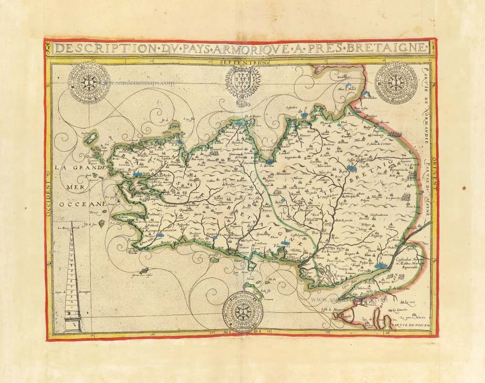
Description du Pays Armorique a pres Bretaigne.
Item Number: 30899 Authenticity Guarantee
Category: Antique maps > Europe > France
Bretagne by Maurice Bouguereau, published by Jean Leclerc. RARE
Title: Description du Pays Armorique a pres Bretaigne.
Caesaroduni Turonum in Aedibus Mauricii Boguerealdi.
Date of the first edition: 1594.
Date of this map: 1619-21.
Copper engraving, printed on paper.
Image size: 350 x 465mm (13.78 x 18.31 inches).
Sheet size: 505 x 685mm (19.88 x 26.97 inches).
Verso: Blank.
Condition: Original coloured in outline, on heavy paper, side margins extended; excellent.
Condition Rating: A+.
Separate publication - from a French Composite Atlas, c. 1610-1650.
Appeared in: Le Théâtre Françoys. Paris, M. Bouguereau, 1594. (Pastoureau, p. 84).
In ancient times, Armorica or Aremorica was a region of Gaul between the Seine and the Loire that includes the Brittany Peninsula and much of historical Normandy.
Maurice Bouguereau (? - 1596)
Maurice Bouguereau worked in Tours as a French printer, bookseller, cartographer, and publisher. From 1588 to 1596, his address there was 'à la Petite Fontaine du Carroy de Beaulne', in the Rue de la Scellerie.
The most important work of Maurice Bouguereau was the atlas Le Theatre Francoys (20 maps), which he published in Tours in 1594. It was the first atlas of France ever and, thus, a milestone in the history of French cartography. Henry IV commissioned him to produce this work (1553–1610); who was fighting for the unification of his kingdom at the time and wanted to demonstrate his power and greatness with this publication.
Jean Le Clerc (1560-c. 1622)
Geographer, publisher, and engraver, fourth in a dynasty of printers and booksellers. Trades from 'Rue S. Jean de Latran à la Sallemandre Royalle'. He worked for a while for Maurice Bouguereau, the plates for whose Le Théâtre François passed to Leclerc sometime before 1619. These formed the core of his own Théâtre.
Related items
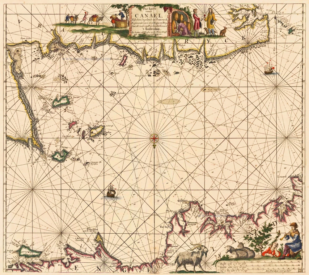
Pas-kaert vande Canael, Tusschen Engelandt en Vrancryck Beginnende van C. de la Hague tot Heyssant, als mede van Poortland tot Lezard. 1697-1709
Bretagne and the Channel, by Van Keulen Johannes.
[Item number: 5406]
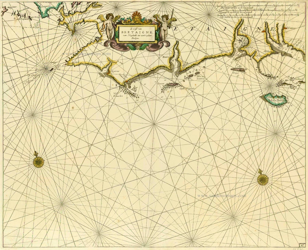
De Cust van Bretaigne, van Heysandt tot aan 't eylant Boelyn. 1686
Bretagne, by Doncker H.
[Item number: 15394]
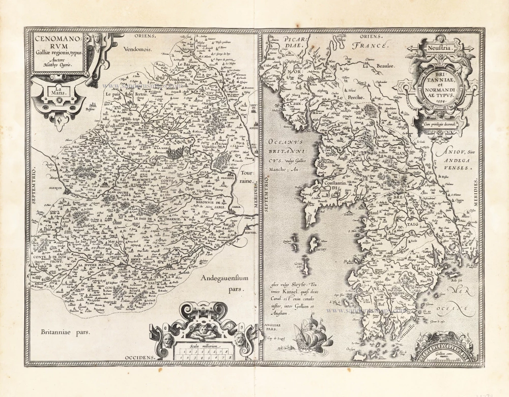
Cenomanorum Galliae regionis typus.La Mans. [on sheet with] Neustria. Britanniae, et Normandiae Typus, 1594. 1601
Maine - Bretagne - Normandie by Abraham Ortelius.
[Item number: 22772]
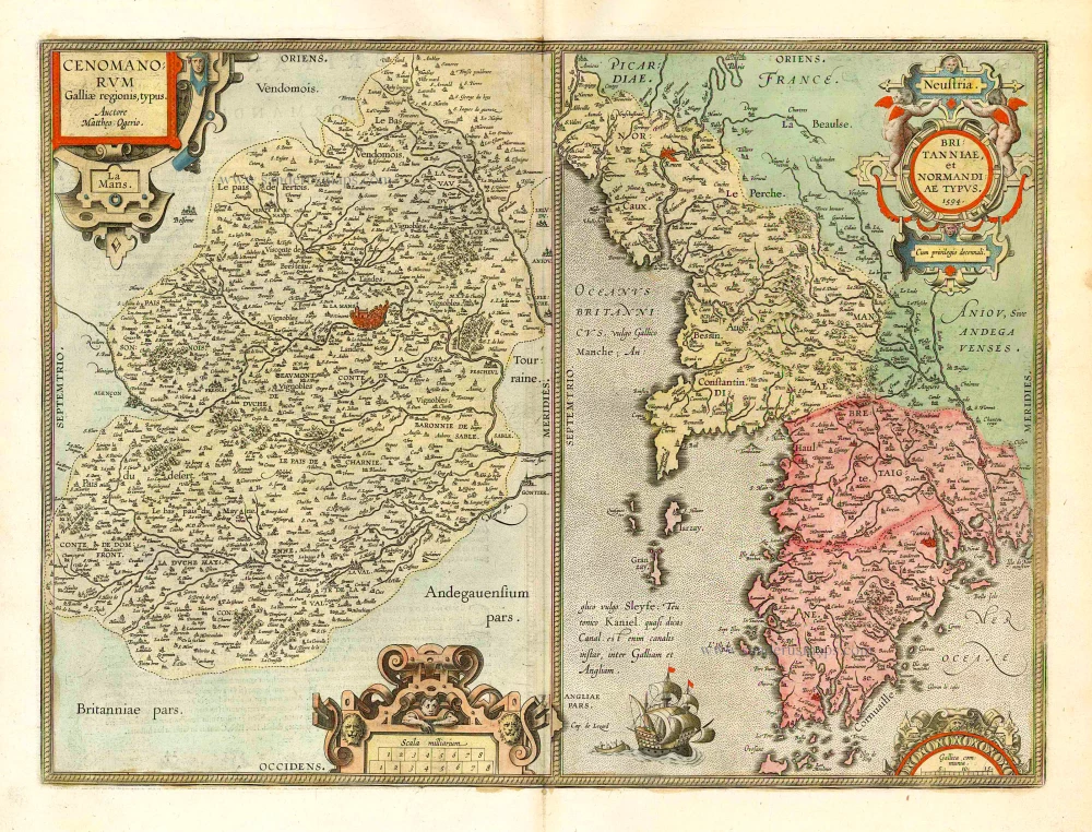
Cenomanorum Galliae regionis typus. [on sheet with] Britanniae, et Normandiae Typus, 1594. 1612
Le Maine and Bretagne / Normandy by Abraham Ortelius
[Item number: 23070]
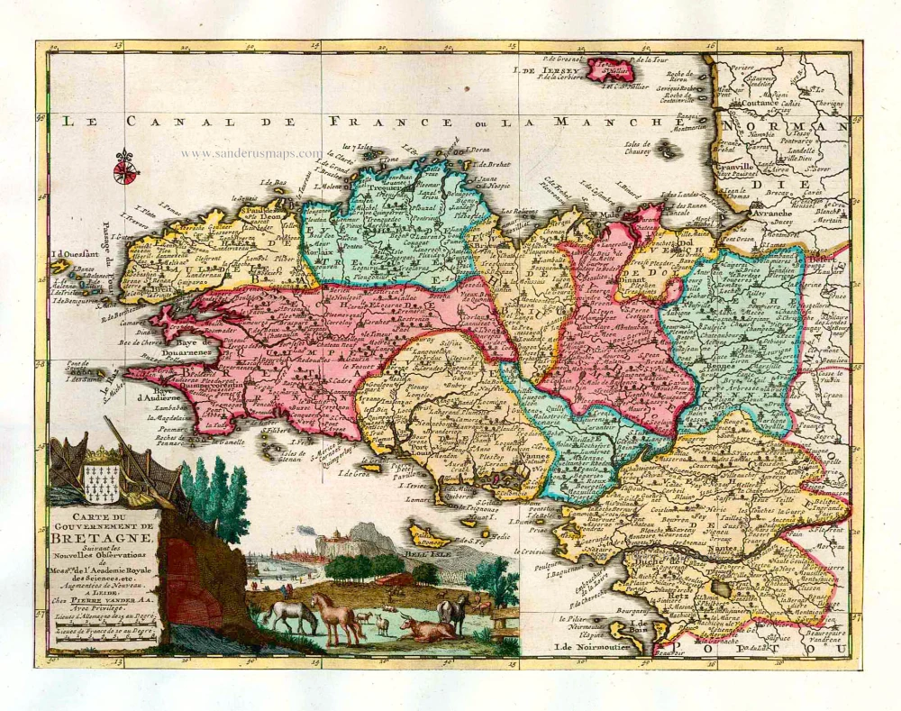
Carte du Gouvernement de Bretagne. 1713
Bretagne, by P. Van der Aa.
[Item number: 26166]
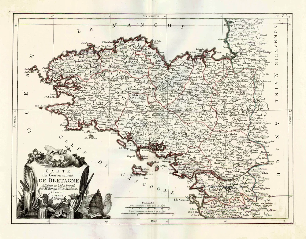
Carte du Gouvernement de Bretagne. 1776-79
Bretagne by Francesco & Paolo Santini
[Item number: 26956]
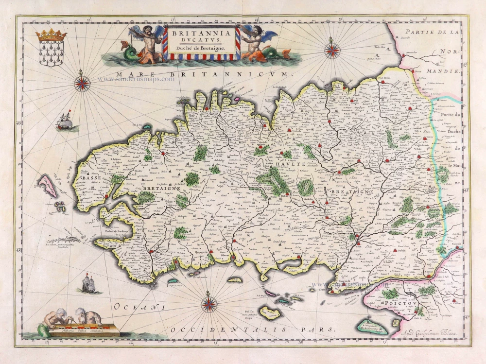
Britannia Ducatus. 1640
Bretagne, by Willem Blaeu.
[Item number: 27970]
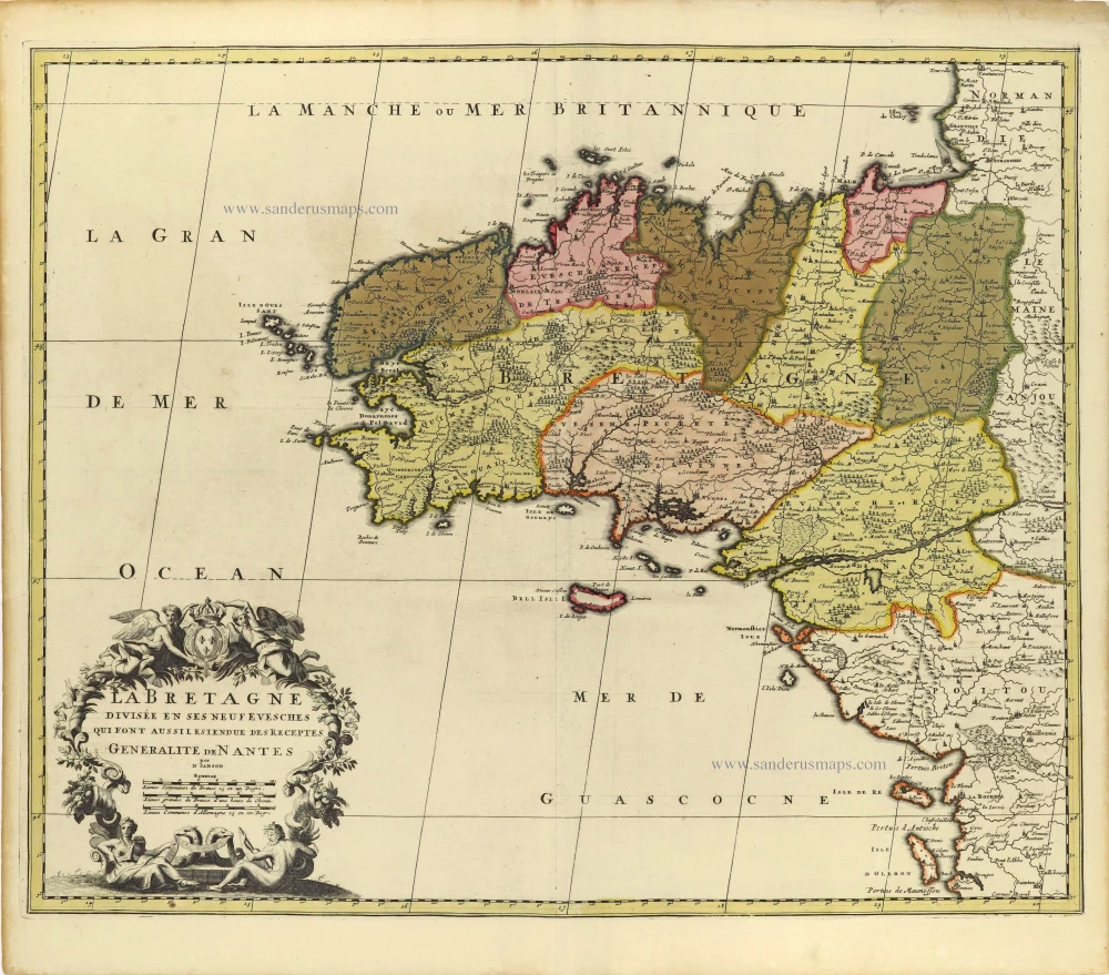
La Bretagne divisée en ses Neuf Evesches qui font aussilesiendue des Receptes Generalite de Nantes. c. 1660
Bretagne par Nicolas Sanson.
[Item number: 28380]

Duche et Gouvernement de Bretagne. 1700-1710
Bretagne by Nicolas Sanson.
[Item number: 28511]

Duché, et Gouvernement de Bretagne. 1652
Bretagne par Nicolas Sanson.
[Item number: 29668]

Britannia. 1618
Bretagne by Petrus Bertius, published by Jodocus Hondius II.
[Item number: 31595]