
Bretagne by Francesco & Paolo Santini 1776-79
Francesco and Paolo Santini (c.1729-1793)
Francesco Santini, a Venetian publisher, acquired the printing plates of Vaugondy’s Atlas Universel …, a commercial and cartographic success, with widespread influence on mapmakers throughout Europe. Together with his brother Paolo, he commissioned a new set of plates and reissued the atlas in 1776. The following year, Paolo Santini assigned all his publication rights to M. Remondini, who in 1777 reissued the same atlas but with his name.
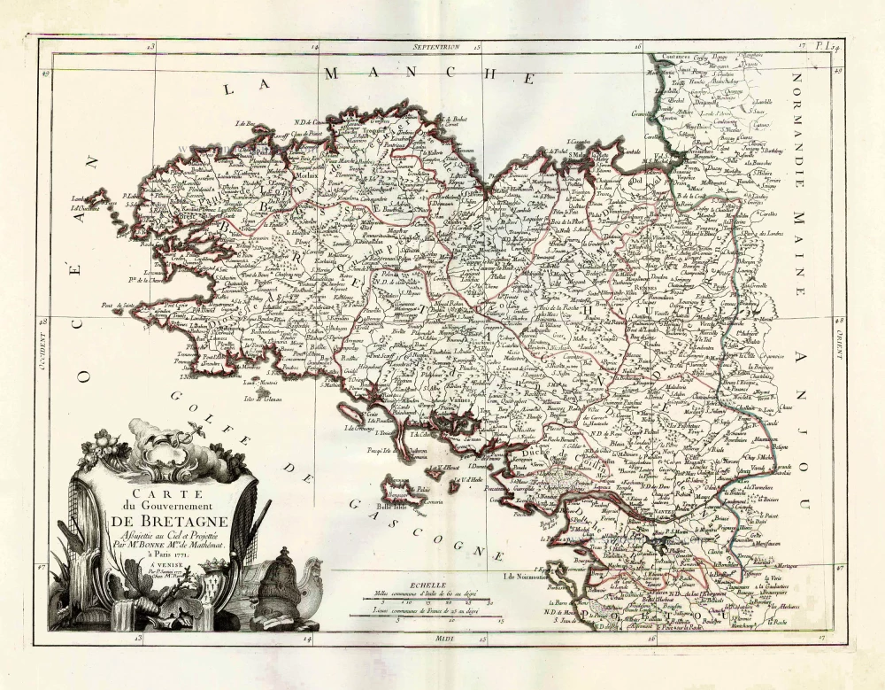
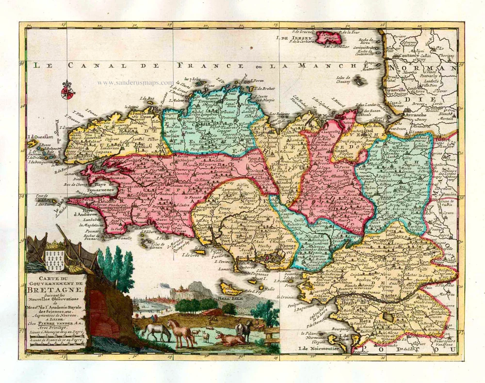
Carte du Gouvernement de Bretagne.
Item Number: 26956 Authenticity Guarantee
Category: Antique maps > Europe > France
Old, antique map of Bretagne, by Francesco Santini.
Title: Carte du Gouvernement de Bretagne.
Cartographer: Rigobert Bonne.
Date of the first edition: 1776.
Date of this map: 1776-79.
Copper engraving, printed on paper.
Size (not including margins): 435 x 580mm (17.13 x 22.83 inches).
Verso: Blank.
Condition: Original coloured in outline, excellent.
Condition Rating: A+.
References: Gaudillat (Bretagne), Pl. 64
From: Atlas Universel dressé sur les meilleures cartes modernes. Venice, Remondini, 1776-79.
Francesco and Paolo Santini (c.1729-1793)
Francesco Santini, a Venetian publisher, acquired the printing plates of Vaugondy’s Atlas Universel …, a commercial and cartographic success, with widespread influence on mapmakers throughout Europe. Together with his brother Paolo, he commissioned a new set of plates and reissued the atlas in 1776. The following year, Paolo Santini assigned all his publication rights to M. Remondini, who in 1777 reissued the same atlas but with his name.
Related items
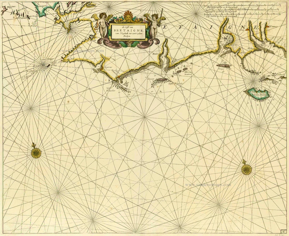
De Cust van Bretaigne, van Heysandt tot aan 't eylant Boelyn. 1686
Bretagne, by Doncker H.
[Item number: 15394]
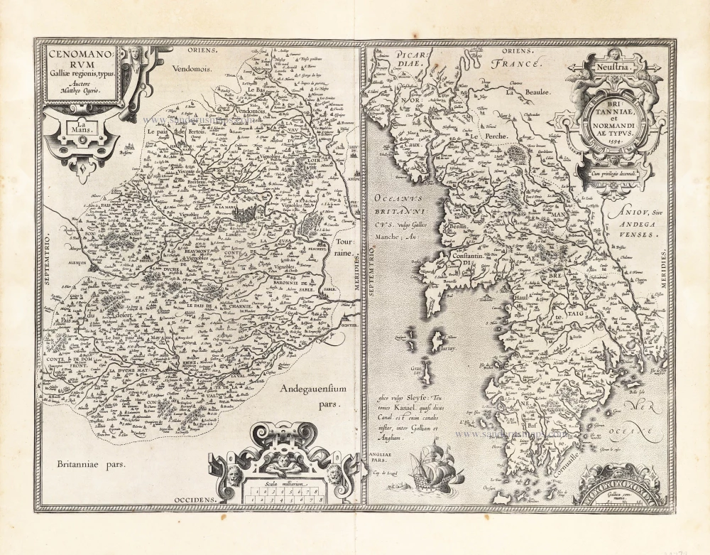
Cenomanorum Galliae regionis typus.La Mans. [on sheet with] Neustria. Britanniae, et Normandiae Typus, 1594. 1601
Maine - Bretagne - Normandie by Abraham Ortelius.
[Item number: 22772]
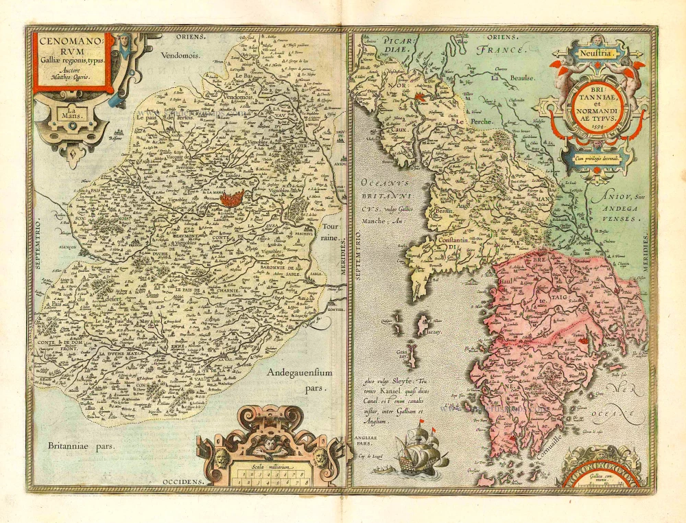
Cenomanorum Galliae regionis typus. [on sheet with] Britanniae, et Normandiae Typus, 1594. 1612
Le Maine and Bretagne / Normandy by Abraham Ortelius
[Item number: 23070]
Carte du Gouvernement de Bretagne. 1713
Bretagne, by P. Van der Aa.
[Item number: 26166]
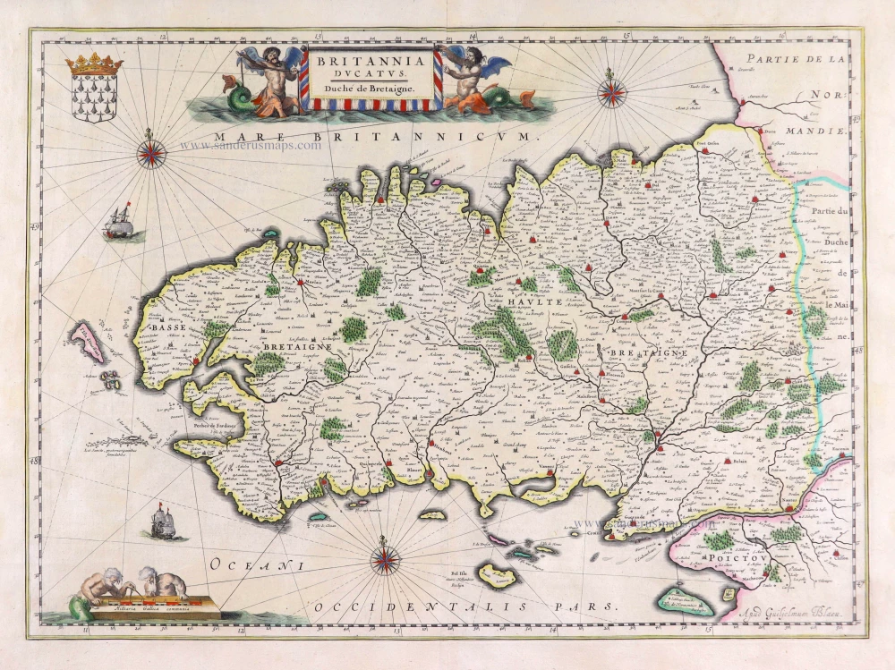
Britannia Ducatus. 1640
Bretagne, by Willem Blaeu.
[Item number: 27970]
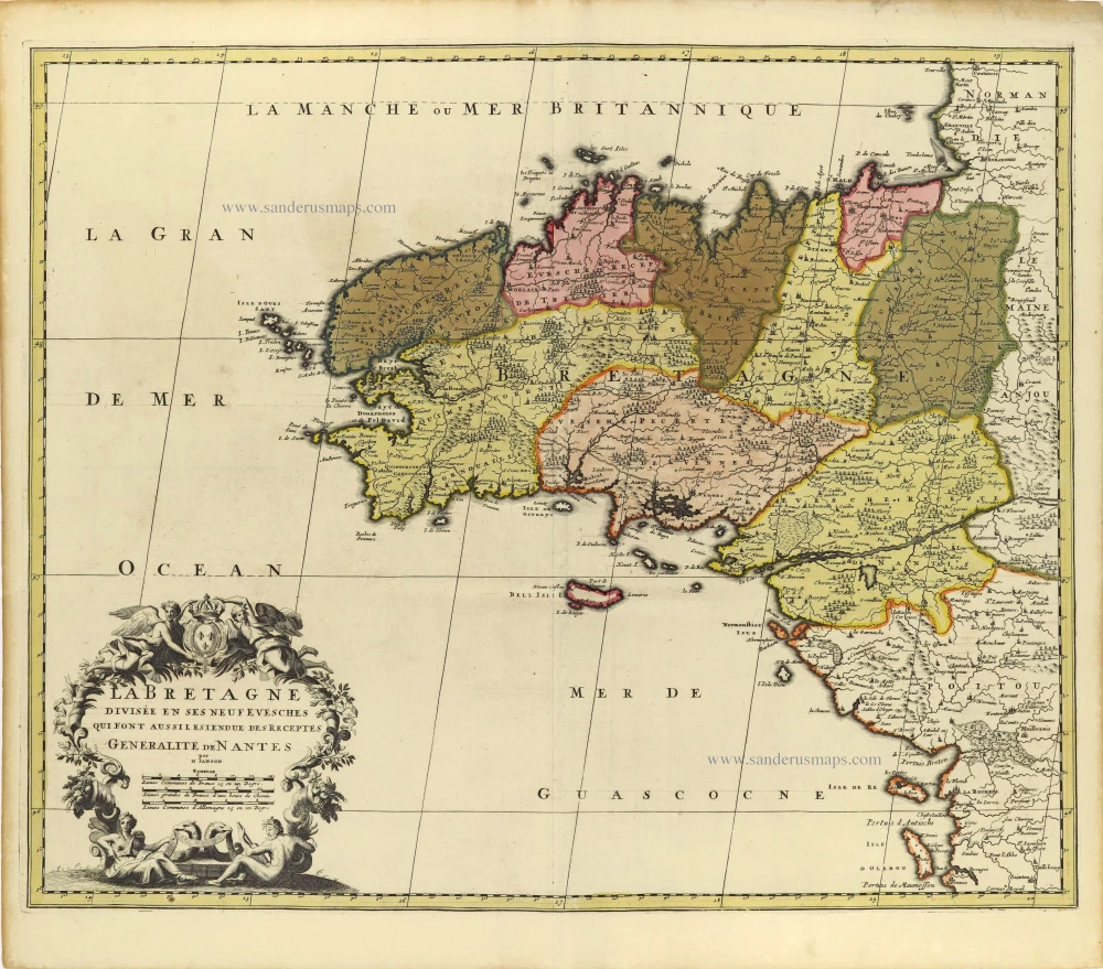
La Bretagne divisée en ses Neuf Evesches qui font aussilesiendue des Receptes Generalite de Nantes. c. 1660
Bretagne par Nicolas Sanson.
[Item number: 28380]

Duche et Gouvernement de Bretagne. 1700-1710
Bretagne by Nicolas Sanson.
[Item number: 28511]

Duché, et Gouvernement de Bretagne. 1652
Bretagne par Nicolas Sanson.
[Item number: 29668]
Rare
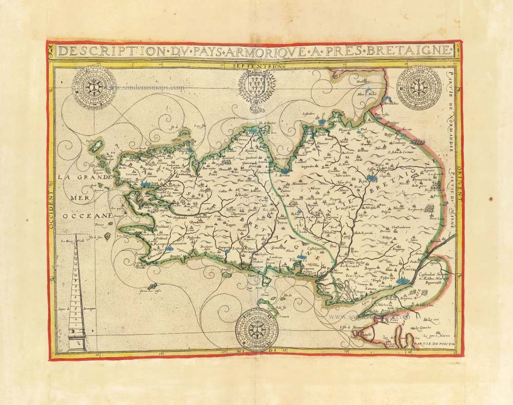
Description du Pays Armorique a pres Bretaigne. 1619-21
Bretagne by Maurice Bouguereau, published by Jean Leclerc.
[Item number: 30899]

Britannia. 1618
Bretagne by Petrus Bertius, published by Jodocus Hondius II.
[Item number: 31595]
new