
Southwestern France, by Nicolas Sanson. c. 1659
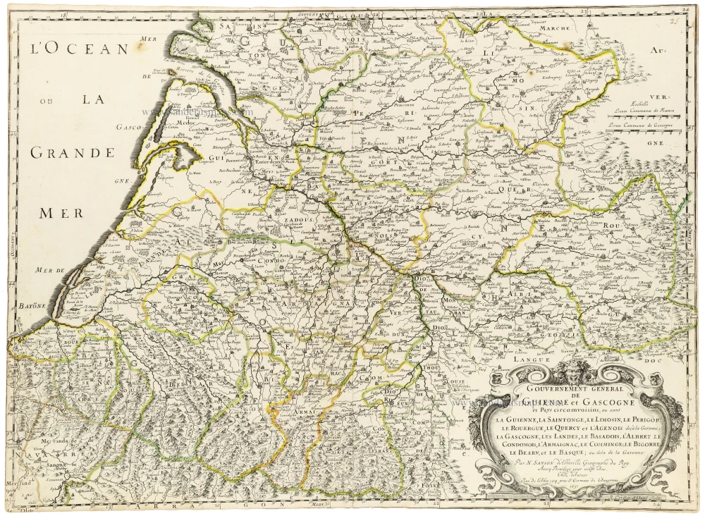
Pastoureau describes another map (p. 404, Sanson V A, [43]) with a nearly identical title, dated 1650, and engraved by Peyrounin.
Nicolas Sanson (1600-1667) - Guillaume Sanson (1633-1703)
Originally from Abbeville, Nicolas I Sanson showed a keen interest in historical geography. Still very young, he published a map of ancient Gaul and two treatises, Britannia and Portus Itius on Abbeville and Boulogne's origins. His meeting with Melchior Tavernier was decisive: it prompted him to give up his duties as a military engineer in Picardy and devote himself to engraved cartography.
At the same time, Sanson had drawn up the outline of modern France. He got the help of Tavernier who encouraged him to compete with the Dutch map publishers. Tavernier contacted other French cartographers whose works he published.
From 1643, N. Sanson obtained a privilege to publish a work personally, the Princes souverains de l'Italie. Then, in 1644 and 1645, he had his famous geographical tables printed, which significantly contributed to his fame. He also published a series of atlases in quarto of the four continents.
In 1648, N. Sanson associated himself with Mariette for the publishing of atlases. From then on, certain maps bore his name, and others Mariette's. N. Sanson and Mariette worked together for more than 20 years. After the death of N. Sanson, Mariette acquired the entire fund. Since Mariette only wanted to publish complete atlases, individual maps were no longer sold, and some army generals complained to the king.
The disagreement between the Sanson family and Pierre II Mariette culminated in 1671 when Guillaume Sanson took the case to court. From then on, there was no longer any question of collaboration: Guillaume Sanson started working for another publisher, Alexis-Hubert Jaillot.
The Sanson family faced financial difficulties, and in 1692, their cousin, Pierre Moullart-Sanson, bought the entire geographic fund from his uncles and aunt. Moullart-Sanson restarted the publishing of Sanson's world atlas, and in 1704 he acquired a privilege for publishing all the works of Nicolas and Guillaume Sanson, which continued to be published until 1730.
Gouvernement General de Guienne et Gascogne et Pays circomvoisins, ou sont la Guienne, la Saitonge, le Limosin, le Perigort, le Rouergue, le Quercy et l'Agenois deçà la Garonne, la Gascogne, les Landes, le Basadois, l'Abret le Condomois, l'Armaignac, le Comminges, le Bigorre, le Barn, et le Basque; au dela de la Garonne.
Item Number: 33243 new Authenticity Guarantee
Category: Antique maps > Europe > France
Southwestern France, by Nicolas Sanson.
Title: Gouvernement General de Guienne et Gascogne et Pays circomvoisins, ou sont la Guienne, la Saitonge, le Limosin, le Perigort, le Rouergue, le Quercy et l'Agenois deçà la Garonne, la Gascogne, les Landes, le Basadois, l'Abret le Condomois, l'Armaignac, le Comminges, le Bigorre, le Barn, et le Basque; au dela de la Garonne.
Par N. Sanson d'Abbeville Geographe du Roy.
Avecq Privilege pour vingt Ans
Chez l'Auteur Rue de l'Abre secq pres S. Germain de l'Auxerrois. 1651.
R. Cordier Abbavil sculp.
Engraver: Robert Cordier.
Date: c. 1659.
Date on map: 1651.
Copper engraving, printed on paper.
Image size: 435 x 595mm (17¼ x 23½ inches).
Sheet size: 438 x 497mm (17¼ x 19½ inches).
Verso: Blank.
Condition: Original coloured in outline, short margins, partly trimmed to the neatline.
Condition Rating: A.
From: Cartes generales de toutes les parties du monde, ou les empires, monarchies, republiques, estats, peuples,&c. le l'Asie, de l'Afrique, de l'Europe, & de l'Amerique, ... Par le Sieur d'Abbeville, A Paris, chez l'auteur, ... Et chez Pierre Mariette, M.DC.LVIII [1658]. (Pastoureau, Sanson V A 1658). (Qui doit être de 1659 car la table indique la Westphalie. - Pastoureau)
Pastoureau describes another map (p. 404, Sanson V A, [43]) with a nearly identical title, dated 1650, and engraved by Peyrounin.
Nicolas Sanson (1600-1667) - Guillaume Sanson (1633-1703)
Originally from Abbeville, Nicolas I Sanson showed a keen interest in historical geography. Still very young, he published a map of ancient Gaul and two treatises, Britannia and Portus Itius on Abbeville and Boulogne's origins. His meeting with Melchior Tavernier was decisive: it prompted him to give up his duties as a military engineer in Picardy and devote himself to engraved cartography.
At the same time, Sanson had drawn up the outline of modern France. He got the help of Tavernier who encouraged him to compete with the Dutch map publishers. Tavernier contacted other French cartographers whose works he published.
From 1643, N. Sanson obtained a privilege to publish a work personally, the Princes souverains de l'Italie. Then, in 1644 and 1645, he had his famous geographical tables printed, which significantly contributed to his fame. He also published a series of atlases in quarto of the four continents.
In 1648, N. Sanson associated himself with Mariette for the publishing of atlases. From then on, certain maps bore his name, and others Mariette's. N. Sanson and Mariette worked together for more than 20 years. After the death of N. Sanson, Mariette acquired the entire fund. Since Mariette only wanted to publish complete atlases, individual maps were no longer sold, and some army generals complained to the king.
The disagreement between the Sanson family and Pierre II Mariette culminated in 1671 when Guillaume Sanson took the case to court. From then on, there was no longer any question of collaboration: Guillaume Sanson started working for another publisher, Alexis-Hubert Jaillot.
The Sanson family faced financial difficulties, and in 1692, their cousin, Pierre Moullart-Sanson, bought the entire geographic fund from his uncles and aunt. Moullart-Sanson restarted the publishing of Sanson's world atlas, and in 1704 he acquired a privilege for publishing all the works of Nicolas and Guillaume Sanson, which continued to be published until 1730.
Related items

La Partie Septentrionale du Languedoc. 1630
Languedoc (North), by Joannes Janssonius.
[Item number: 6912]

Scarce sea chart
Languedoc tusschen C. de Creos en C. delle Melle. 1664
Provence by Doncker H., sea chart.
[Item number: 13696]
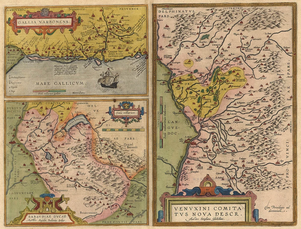
Gallia Narbonens [on sheet with] Sabaudiae Ducat. [and] Venuxini Comitatus Nova Descr. 1612.
Languedoc, Savoie, Venaissin, by Ortelius A.
[Item number: 19362]
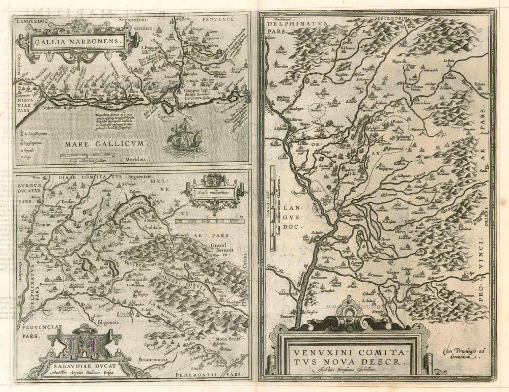
Gallia Narbonens [on sheet with] Sabaudiae Ducat. [and] Venuxini Comitatus Nova Descr. 1598
Languedoc, Savoie and Venaissin, by Ortelius A.
[Item number: 23105]

Le Gouvernement General de Languedoc Divisé en Trois Lieutenances Generales ... 1710
Languedoc-Roussillon, by N. Sanson.
[Item number: 23788]

Gouvernement General de Languedoc. Divisé en ses Vint Deux Diocesez. 1691-96
Languedoc, by F. De Wit.
[Item number: 24372]

Galliae Narbonensis Ora Marittima Recenter descripta. [on sheet with:] Sabaudiae, et Burgundiae Comitatus descriptio; auctore Aegidio Bulionio Belga. 1572
Languedoc and Savoie, by A. Ortelius.
[Item number: 25437]

Carte du Gouvernement de Languedoc. 1713
The Languedoc, by P. Van der Aa.
[Item number: 26167]
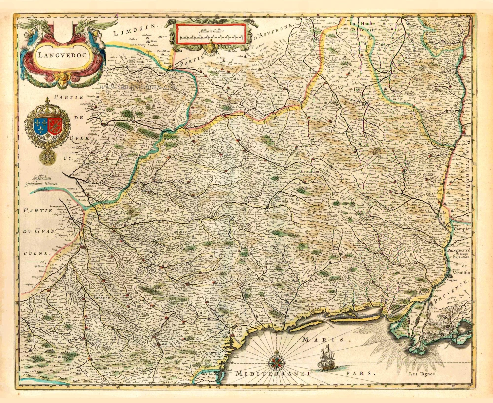
Languedoc. 1640
Languedoc, by Willem Blaeu.
[Item number: 27155]
La Partie Meridionale du Languedoc. 1631
Languedoc (South) by Henricus Hondius.
[Item number: 30093]

Languedoc. 1618
Languedoc by Petrus Bertius, published by Jodocus Hondius II.
[Item number: 31594]