
Languedoc, by F. De Wit. 1691-96

Frederick de Wit (1630-1706)
The engraver and map-seller, Frederick de Wit, was born in Gouda (Netherlands) in 1630 as a son of Hendrick Fredericksz de Wit. Through his marriage with Maria van der Waag of Amsterdam in 1661, he obtained citizenship of the city where he had been working since 1648 and where he became one of the most famous engravers of maps of the second half of the 17th century. Although De Wit was a Catholic, which meant that he was not favoured at the time by the city council, he was awarded the honour of being listed as one of the "excellent citizens" on the roll of the city council in the years 1694-1704. However, his name was not written in the Guild of St. Luke book before 1664. At that time, he lived on the Kalverstraat "in de Witte Pascaert", where he stayed until his death in 1706. His earliest dates on maps engraved are 1659 (Regni Daniae) and 1660 (World map).
Frederick de Wit published several world atlases, a sea atlas, and an atlas of the Netherlands.
The dating of the maps is difficult. However, as a privilege was granted in 1689, the annotation 'cum privilegio' marks an edition after 1688.
Around 1700, Frederick de Wit entered the market with a town atlas. He produced two volumes with a total of 260 plans and views. Most were printed from plates used for Janssonius and Blaeu town atlases.
After he died in 1706, his widow continued the shop until 1709. The plates and stock of De Wit's atlas were sold to Covens & Mortier in 1710, who sold the atlas for an extended period.
Gouvernement General de Languedoc. Divisé en ses Vint Deux Diocesez.
Item Number: 24372 Authenticity Guarantee
Category: Antique maps > Europe > France
Languedoc, by Frederick De Wit.
Title: Gouvernement General de Languedoc. Divisé en ses Vint Deux Diocesez.
Date of the first edition: c. 1691-96.
Date of this map: 1691-96.
Copper engraving, printed on paper.
Size (not including margins): 440 x 540mm (17¼ x 21¼ inches).
Verso: Blank.
Condition: Original coloured, excellent.
Condition Rating: A+.
From: Atlas. Amsterdam, Frederick de Wit, 1691-96 (Carhart, p. 151 A108)
Frederick de Wit (1630-1706)
The engraver and map-seller, Frederick de Wit, was born in Gouda (Netherlands) in 1630 as a son of Hendrick Fredericksz de Wit. Through his marriage with Maria van der Waag of Amsterdam in 1661, he obtained citizenship of the city where he had been working since 1648 and where he became one of the most famous engravers of maps of the second half of the 17th century. Although De Wit was a Catholic, which meant that he was not favoured at the time by the city council, he was awarded the honour of being listed as one of the "excellent citizens" on the roll of the city council in the years 1694-1704. However, his name was not written in the Guild of St. Luke book before 1664. At that time, he lived on the Kalverstraat "in de Witte Pascaert", where he stayed until his death in 1706. His earliest dates on maps engraved are 1659 (Regni Daniae) and 1660 (World map).
Frederick de Wit published several world atlases, a sea atlas, and an atlas of the Netherlands.
The dating of the maps is difficult. However, as a privilege was granted in 1689, the annotation 'cum privilegio' marks an edition after 1688.
Around 1700, Frederick de Wit entered the market with a town atlas. He produced two volumes with a total of 260 plans and views. Most were printed from plates used for Janssonius and Blaeu town atlases.
After he died in 1706, his widow continued the shop until 1709. The plates and stock of De Wit's atlas were sold to Covens & Mortier in 1710, who sold the atlas for an extended period.
Related items

Gouvernement de la Guienne & Gascogne c. 1680
Gascogne, by F. De Wit.
[Item number: 24368]

Galliae Narbonensis Ora Marittima Recenter descripta. [on sheet with:] Sabaudiae, et Burgundiae Comitatus descriptio; auctore Aegidio Bulionio Belga. 1572
Languedoc and Savoie, by A. Ortelius.
[Item number: 25437]

Provincia. Supremarum Galliae Praefecturarum una; Vulgariter Gouvernement de Provence in qua Alienae Ditionis. ... c. 1700
The Provence, by G. Valk.
[Item number: 25679]

Praefectura Generalis Languedociae ... c. 1700
Languedoc, by G. & L. Valck.
[Item number: 26217]
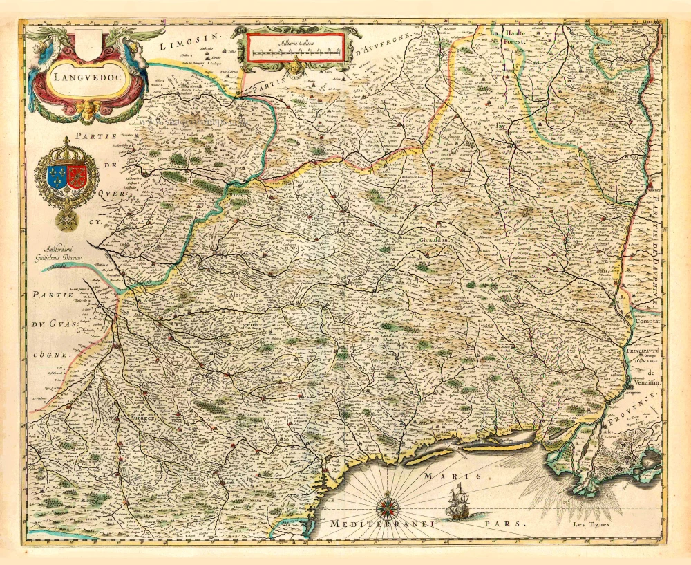
Languedoc. 1640
Languedoc, by Willem Blaeu.
[Item number: 27155]
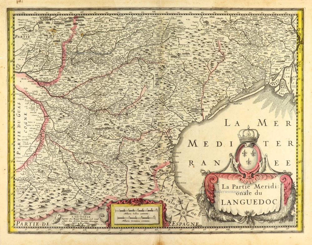
La Partie Meridionale du Languedoc. 1631
Languedoc (South) by Henricus Hondius.
[Item number: 30093]
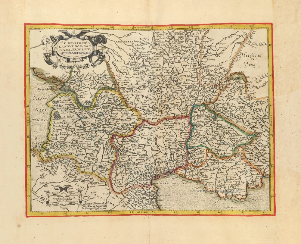
Le Dauphiné, Languedoc, Gascoigne, Provence et Xaintonge. c. 1610-1650
Southern France by Jean Leclerc & Maurice Bouguereau, after G. Mercator.
[Item number: 30890]

Carte Generale de Guyenne. c. 1610-1650
Southwest France by Christophe Tassin. RARE
[Item number: 31310]

Languedoc. 1618
Languedoc by Petrus Bertius, published by Jodocus Hondius II.
[Item number: 31594]
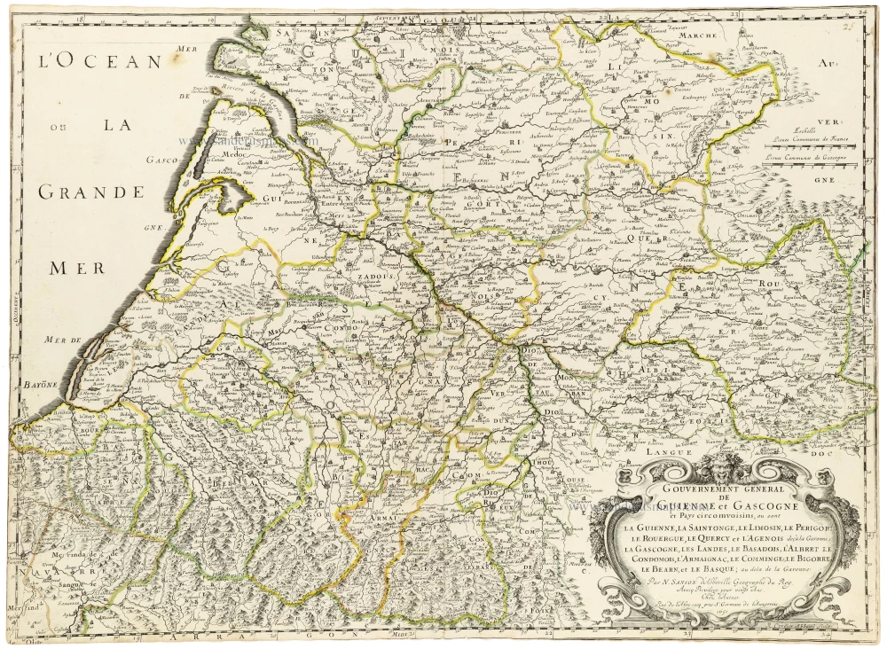
Gouvernement General de Guienne et Gascogne et Pays circomvoisins, ou sont la Guienne, la Saitonge, le Limosin, le Perigort, le Rouergue, le Quercy et l'Agenois deçà la Garonne, la Gascogne, les Landes, le Basadois, l'Abret le Condomois, l'Armaignac, le Comminges, le Bigorre, le Barn, et le Basque; au dela de la Garonne. c. 1659
Southwestern France, by Nicolas Sanson.
[Item number: 33243]
new

Gouvernem[en]t Gen[é]ral du Languedoc, divisé en ses Vingt deux Diocéses. 1659
Le Languedoc, by Nicolas Sanson.
[Item number: 33251]
new