
Westfalen, by Blaeu W. & J. 1662

The Blaeus: Willem Janszoon, Cornelis & Joan
Willem Jansz. Blaeu and his son Joan Blaeu are the seventeenth century's most widely known cartographic publishers.
Willem Jansz. (also written Guilielmus Janssonius) = Willem Janszoon Blaeu was born in Uitgeest (Netherlands), near Alkmaar, in 1571. He studied mathematics under Tycho Brahe and learned the theory and practice of astronomical observations and the art of instrument- and globe-making.
In 1596, he came to Amsterdam, where he settled down as a globe-, instrument- and mapmaker. He published his first cartographic work (a globe) in 1599 and probably published his first printed map (a map of the Netherlands) in 1604. He specialised in maritime cartography, published the first edition of the pilot guide Het Licht der Zeevaert in 1608, and was appointed Hydrographer of the V.O.C. (United East India Company) in 1633. After publishing books, wall maps, globes, charts and pilot guides for thirty years, he brought out his first atlas, Atlas Appendix (1630). This was the beginning of the great tradition of atlas-making by the Blaeus.
In 1618, another mapmaker, bookseller and publisher, Johannes Janssonius, established himself in Amsterdam next door to Blaeu's shop. No wonder these two neighbours began accusing each other of copying and stealing their information and became fierce competitors who did not have a good word to say about each other. In about 1621 Willem Jansz. decided to end the confusion between his name and his competitor's and assumed his grandfather's nickname, 'blauwe Willem' ('blue Willem'), as the family name; after that, he called himself Willem Jansz. Blaeu.
Willem Janszoon Blaeu died in 1638, leaving his prospering business to his sons, Cornelis and Joan. We only know that Cornelis's name occurs in the prefaces of books and atlases until c. 1645.
Joan Blaeu, born in Amsterdam in 1596, became a partner in his father's book trade and printing business. 1638, he was appointed his father's successor in the Hydrographic Office of the V.O.C. His efforts culminated in the magnificent Atlas Major and the town books of the Netherlands and Italy – works unsurpassed in history and modern times, giving eternal fame to the name of the Blaeu's.
A fire ruined the business on February 23, 1672, and one year later, Dr. Joan Blaeu died. The fire and the director's passing caused the complete sale of the Blaeu House's stock. Five public auctions dispersed the remaining books, atlases, copperplates, globes, etc., among many other map dealers and publishers in Amsterdam. The majority was acquired by several booksellers acting in partnership.
In the succeeding years, the remaining printing department remained in the hands of the Blaeu family until 1695, when the printing house's inventory was sold at a public auction. That meant the end of the Blaeu family as a printing house of world renown.
Westphalia Ducatus.
Item Number: 9687 Authenticity Guarantee
Category: Antique maps > Europe > Germany
Antique map of Westfalen, by Blaeu W. & J.
Title: Westphalia Ducatus.
Date of the first edition: 1631.
Date of this map: 1662.
Copper engraving, printed on paper.
Size (not including margins): 380 x 495mm (14.96 x 19.49 inches).
Verso: Spanish text.
Condition: Original coloured, excellent.
Condition Rating: A+.
From: Nuevo Atlas o Teatro del Mundo, Parte del Atlas Mayor, o Geographia Blaviana, que contiene las cartas y descripciones de Alemania. Amsterdam, Joan Blaeu, 1662.
The Blaeus: Willem Janszoon, Cornelis & Joan
Willem Jansz. Blaeu and his son Joan Blaeu are the seventeenth century's most widely known cartographic publishers.
Willem Jansz. (also written Guilielmus Janssonius) = Willem Janszoon Blaeu was born in Uitgeest (Netherlands), near Alkmaar, in 1571. He studied mathematics under Tycho Brahe and learned the theory and practice of astronomical observations and the art of instrument- and globe-making.
In 1596, he came to Amsterdam, where he settled down as a globe-, instrument- and mapmaker. He published his first cartographic work (a globe) in 1599 and probably published his first printed map (a map of the Netherlands) in 1604. He specialised in maritime cartography, published the first edition of the pilot guide Het Licht der Zeevaert in 1608, and was appointed Hydrographer of the V.O.C. (United East India Company) in 1633. After publishing books, wall maps, globes, charts and pilot guides for thirty years, he brought out his first atlas, Atlas Appendix (1630). This was the beginning of the great tradition of atlas-making by the Blaeus.
In 1618, another mapmaker, bookseller and publisher, Johannes Janssonius, established himself in Amsterdam next door to Blaeu's shop. No wonder these two neighbours began accusing each other of copying and stealing their information and became fierce competitors who did not have a good word to say about each other. In about 1621 Willem Jansz. decided to end the confusion between his name and his competitor's and assumed his grandfather's nickname, 'blauwe Willem' ('blue Willem'), as the family name; after that, he called himself Willem Jansz. Blaeu.
Willem Janszoon Blaeu died in 1638, leaving his prospering business to his sons, Cornelis and Joan. We only know that Cornelis's name occurs in the prefaces of books and atlases until c. 1645.
Joan Blaeu, born in Amsterdam in 1596, became a partner in his father's book trade and printing business. 1638, he was appointed his father's successor in the Hydrographic Office of the V.O.C. His efforts culminated in the magnificent Atlas Major and the town books of the Netherlands and Italy – works unsurpassed in history and modern times, giving eternal fame to the name of the Blaeu's.
A fire ruined the business on February 23, 1672, and one year later, Dr. Joan Blaeu died. The fire and the director's passing caused the complete sale of the Blaeu House's stock. Five public auctions dispersed the remaining books, atlases, copperplates, globes, etc., among many other map dealers and publishers in Amsterdam. The majority was acquired by several booksellers acting in partnership.
In the succeeding years, the remaining printing department remained in the hands of the Blaeu family until 1695, when the printing house's inventory was sold at a public auction. That meant the end of the Blaeu family as a printing house of world renown.
Related items

De Hertochdommen Gulick Cleve Berghe en de Graefschappen vander Marck en Ravensbergh. 1631
North Rhein-Westphalia by Hessel Gerritsz., published by Willem Blaeu.
[Item number: 4203]

[No title] 1636
Central Westfalen, by Gerard Mercator, published by Henricus Hondius.
[Item number: 7356]

Palatinatus Bavariae. 1659-72
The Oberpfalz, by Willem Blaeu.
[Item number: 9806]

S.R.I. Westphaliae Circulus, in omnes ejusdem subjacentes Provincias exactißime distinctus. c. 1700
Westfalen, by Visscher N. II.
[Item number: 18690]
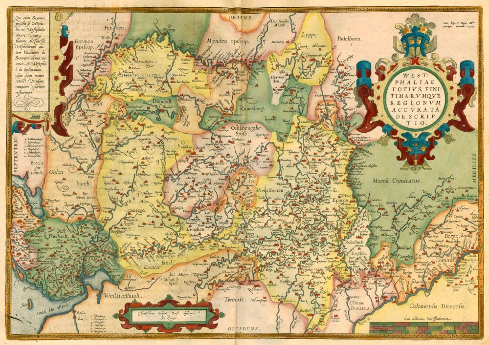
Westphaliae totius, finitimarumque Regionum accurata descriptio. 1612
Westfalen by Ortelius A.
[Item number: 23000]

Westphaliae totius, finitimarumque Regionum accurata descriptio. 1612
Westfalen by Ortelius A.
[Item number: 23121]

Westphaliae totius, finitimarumque Regionum accurata descriptio. 1579
Westfalen by Abraham Ortelius.
[Item number: 25319]
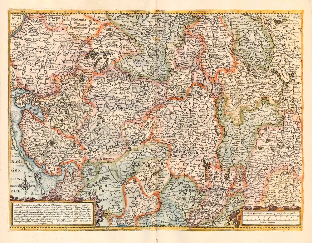
Tabula Geographica amplißimae ditionis Westphaliae conterminarumq provinciarium: delineata eo, quo Admirandus Arragoniae Potentißimi Hispaniar Regis Archistrategus, eam occupaverat, tempore. Continenturq haec tabella Ducatus Cliviae, Juliaci, Geldriae, Be 1624
*** Extremely rare map of Westphalia, by Pieter Verbiest. ***
[Item number: 27741]
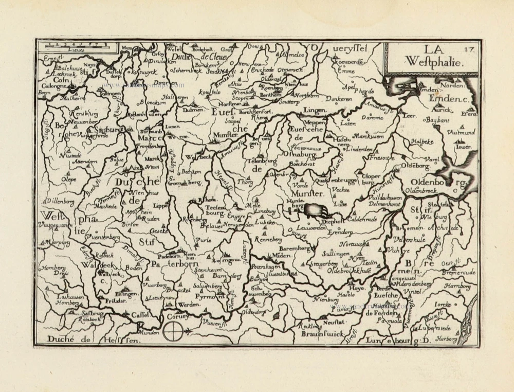
La Westphalie. 1633
Westfalen by C. Tassin.
[Item number: 31765]
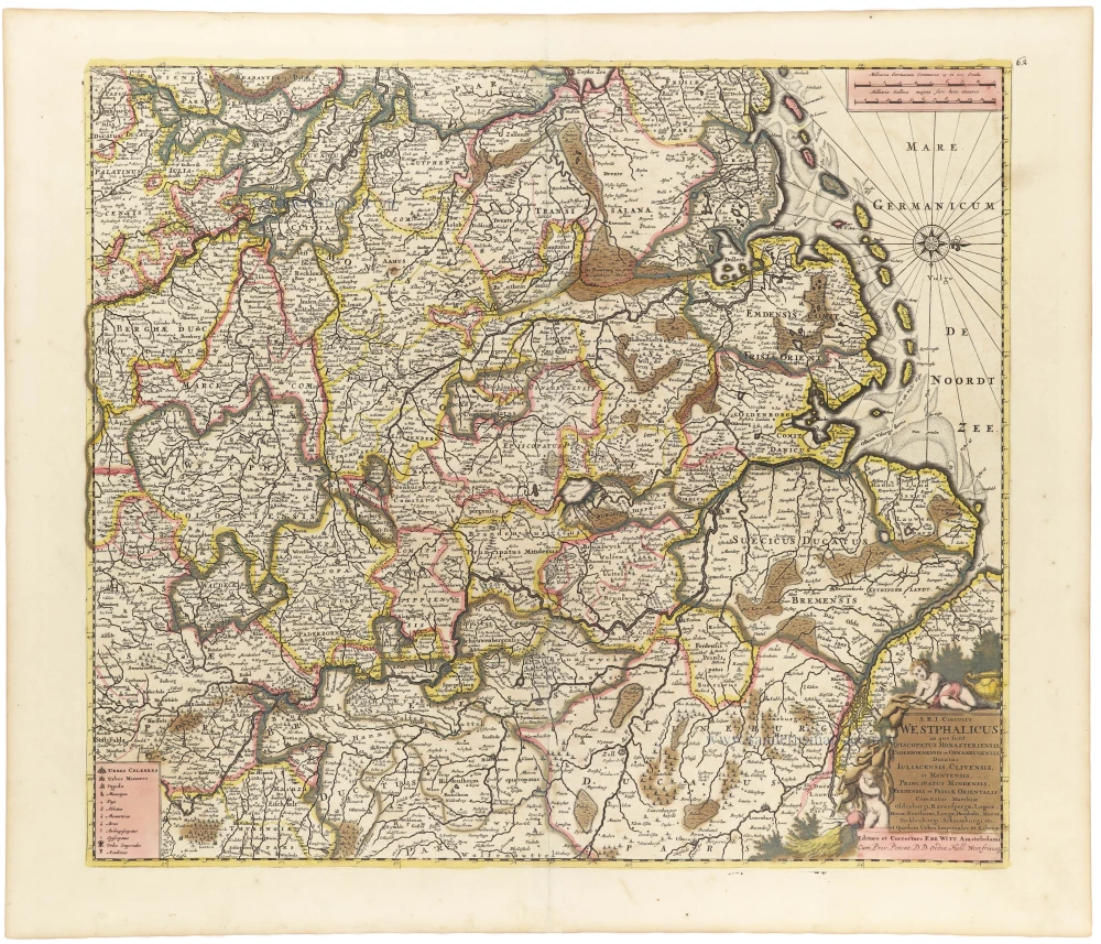
S.R.I. Circulus Westphalicus in quo sunt Episcopatus Monarsteriensis Paderbornensis et Osnabrugiensis, Ducatus Iuliasnensis, Clivensis, et Montensis, Principatus Mindensis, Ferdensis et Frisiae Orientalis, Comitatus Marchiae, Oldenburgi, Ravenspergae ... c. 1697-1704
Rheinland-Westfalen & Nieder Sachsen, by F. De Wit.
[Item number: 33159]

[No title] c. 1630-1650
Central Westfalen - Diocese of Münster and adjacent regions, by Gerard Mercator, published by Henricus Hondius.
[Item number: 33281]
new