
Rome by Braun and Hogenberg. 1599

COMMENTARY BY BRAUN: "The magnificent ancient ruins of the splendid buildings give a modest indication of the splendour the city formerly possessed. The Tiber flows into this city from the north and out again towards the south. But what more should I write about so famous a city, where the successor to St Peter the Apostle and the supreme bishop of the Catholic Church has his seat, where the bones and relics of so many apostles and martyrs are to be seen?"
This engraving of Rome shows the city around 1550 in its imposing setting on seven hills, surrounded by the Aurelian Walls, 19 km long and 6 m high, dating from the 3rd century. Inside the walls on the right are the ruins of Ancient Rome with the Coliseum (37), the Arch of Constantine (50), the Forum Romanum (71) and the baths of Caracalla (28) on the far right. The city centre is dominated by the best-preserved work of antique architecture, namely the Pantheon (c. AD 120). In 609, under Pope Boniface VI, the round domed structure was consecrated and dedicated to the Virgin and all the Christian martyrs, and from then on became known as Santa Maria Rotunda. Further right is the Capitoline Hill with Santa Maria in Aracoeli (99) as its summit, and to the left is Trajan's column (55). On the near side of the Tiber, the Vatican (left) is dominated by Hadrian's mausoleum, the Castel Sant'Angelo, in front of which appears the old St Peter's, having undergone alterations since 1506. However, work on the monumental new basilica and the layout of St Peter's Square would be completed as late as the 17th century. In the left-hand foreground appears the Papal palace (78), and in front, the obelisk (43) that comes from the circus of Caligula and Nero, in which Peter was executed. (Taschen)
Braun G. & Hogenberg F. and the Civitates Orbis Terrarum.
The Civitates Orbis Terrarum, also known as the 'Braun & Hogenberg', is a six-volume town atlas and the most excellent book of town views and plans ever published: 363 engravings, sometimes beautifully coloured. It was one of the best-selling works in the last quarter of the 16th century. Georg Braun, a skilled writer, wrote the text accompanying the plans and views on the verso. Many plates were engraved after the original drawings of a professional artist, Joris Hoefnagel (1542-1600). The first volume was published in Latin in 1572 and the sixth in 1617. Frans Hogenberg, a talented engraver, created the tables for volumes I through IV, and Simon van den Neuwel made those for volumes V and VI. Other contributors were cartographers Daniel Freese and Heinrich Rantzau, who provided valuable geographical information. Works by Jacob van Deventer, Sebastian Münster, and Johannes Stumpf were also used as references. Translations appeared in German and French, making the atlas accessible to a broader audience.
Since its original publication of volume 1 in 1572, the Civitates Orbis Terrarum has left an indelible mark on the history of cartography. Seven more editions followed the first volume in 1575, 1577, 1582, 1588, 1593, 1599, and 1612. Vol.2, initially released in 1575, saw subsequent editions in 1597 and 1612. The subsequent volumes, each a treasure trove of historical insights, graced the world in 1581, 1588, 1593, 1599, and 1606. The German translation of the first volume, a testament to its widespread appeal, debuted in 1574, followed by the French edition in 1575.
Several printers were involved: Theodor Graminaeus, Heinrich von Aich, Gottfried von Kempen, Johannis Sinniger, Bertram Buchholtz, and Peter von Brachel, all of whom worked in Cologne.
Georg Braun (1541-1622)
Georg Braun, the author of the text accompanying the plans and views in the Civitates Orbis Terrarum, was born in Cologne in 1541. After his studies in Cologne, he entered the Jesuit Order as a novice, indicating his commitment to learning and intellectual pursuits. In 1561, he obtained his bachelor's degree; in 1562, he received his Magister Artium, further demonstrating his academic achievements. Although he left the Jesuit Order, he continued his studies in theology, gaining a licentiate in theology. His theological background likely influenced the content and tone of the text in the Civitates Orbis Terrarum, adding a unique perspective to the work.
Frans Hogenberg (1535-1590)
Frans Hogenberg was a Flemish and German painter, engraver, and mapmaker. He was born in Mechelen as the son of Nicolaas Hogenberg.
By the end of the 1560s, Frans Hogenberg was employed upon Abraham Ortelius's Theatrum Orbis Terrarum, published in 1570; he is named an engraver of numerous maps. In 1568, he was banned from Antwerp by the Duke of Alva and travelled to London, where he stayed a few years before emigrating to Cologne. He immediately embarked on his two most important works, the Civitates, published in 1572 and the Geschichtsblätter, which appeared in several series from 1569 until about 1587.
Thanks to large-scale projects like the Geschichtsblätter and the Civitates, Hogenberg's social circumstances improved with each passing year. He died as a wealthy man in Cologne in 1590.
Roma.
Item Number: 23941 Authenticity Guarantee
Category: Antique maps > Europe > Italy - Cities
Rome by Braun and Hogenberg.
Title: Roma.
Cum Privilegio
Date of the first edition: 1572.
Date of this map: 1599.
Copper engraving, printed on paper.
Size (not including margins): 337 x 487mm (13¼ x 19¼ inches).
Verso: Latin text.
Condition: Excellent.
Condition Rating: A.
From: Civitates Orbis Terrarum, Liber Primus. Köln, Bertram Buchholtz, 1599. (Van der Krogt 4, 41:1.1)
COMMENTARY BY BRAUN: "The magnificent ancient ruins of the splendid buildings give a modest indication of the splendour the city formerly possessed. The Tiber flows into this city from the north and out again towards the south. But what more should I write about so famous a city, where the successor to St Peter the Apostle and the supreme bishop of the Catholic Church has his seat, where the bones and relics of so many apostles and martyrs are to be seen?"
This engraving of Rome shows the city around 1550 in its imposing setting on seven hills, surrounded by the Aurelian Walls, 19 km long and 6 m high, dating from the 3rd century. Inside the walls on the right are the ruins of Ancient Rome with the Coliseum (37), the Arch of Constantine (50), the Forum Romanum (71) and the baths of Caracalla (28) on the far right. The city centre is dominated by the best-preserved work of antique architecture, namely the Pantheon (c. AD 120). In 609, under Pope Boniface VI, the round domed structure was consecrated and dedicated to the Virgin and all the Christian martyrs, and from then on became known as Santa Maria Rotunda. Further right is the Capitoline Hill with Santa Maria in Aracoeli (99) as its summit, and to the left is Trajan's column (55). On the near side of the Tiber, the Vatican (left) is dominated by Hadrian's mausoleum, the Castel Sant'Angelo, in front of which appears the old St Peter's, having undergone alterations since 1506. However, work on the monumental new basilica and the layout of St Peter's Square would be completed as late as the 17th century. In the left-hand foreground appears the Papal palace (78), and in front, the obelisk (43) that comes from the circus of Caligula and Nero, in which Peter was executed. (Taschen)
Braun G. & Hogenberg F. and the Civitates Orbis Terrarum.
The Civitates Orbis Terrarum, also known as the 'Braun & Hogenberg', is a six-volume town atlas and the most excellent book of town views and plans ever published: 363 engravings, sometimes beautifully coloured. It was one of the best-selling works in the last quarter of the 16th century. Georg Braun, a skilled writer, wrote the text accompanying the plans and views on the verso. Many plates were engraved after the original drawings of a professional artist, Joris Hoefnagel (1542-1600). The first volume was published in Latin in 1572 and the sixth in 1617. Frans Hogenberg, a talented engraver, created the tables for volumes I through IV, and Simon van den Neuwel made those for volumes V and VI. Other contributors were cartographers Daniel Freese and Heinrich Rantzau, who provided valuable geographical information. Works by Jacob van Deventer, Sebastian Münster, and Johannes Stumpf were also used as references. Translations appeared in German and French, making the atlas accessible to a broader audience.
Since its original publication of volume 1 in 1572, the Civitates Orbis Terrarum has left an indelible mark on the history of cartography. Seven more editions followed the first volume in 1575, 1577, 1582, 1588, 1593, 1599, and 1612. Vol.2, initially released in 1575, saw subsequent editions in 1597 and 1612. The subsequent volumes, each a treasure trove of historical insights, graced the world in 1581, 1588, 1593, 1599, and 1606. The German translation of the first volume, a testament to its widespread appeal, debuted in 1574, followed by the French edition in 1575.
Several printers were involved: Theodor Graminaeus, Heinrich von Aich, Gottfried von Kempen, Johannis Sinniger, Bertram Buchholtz, and Peter von Brachel, all of whom worked in Cologne.
Georg Braun (1541-1622)
Georg Braun, the author of the text accompanying the plans and views in the Civitates Orbis Terrarum, was born in Cologne in 1541. After his studies in Cologne, he entered the Jesuit Order as a novice, indicating his commitment to learning and intellectual pursuits. In 1561, he obtained his bachelor's degree; in 1562, he received his Magister Artium, further demonstrating his academic achievements. Although he left the Jesuit Order, he continued his studies in theology, gaining a licentiate in theology. His theological background likely influenced the content and tone of the text in the Civitates Orbis Terrarum, adding a unique perspective to the work.
Frans Hogenberg (1535-1590)
Frans Hogenberg was a Flemish and German painter, engraver, and mapmaker. He was born in Mechelen as the son of Nicolaas Hogenberg.
By the end of the 1560s, Frans Hogenberg was employed upon Abraham Ortelius's Theatrum Orbis Terrarum, published in 1570; he is named an engraver of numerous maps. In 1568, he was banned from Antwerp by the Duke of Alva and travelled to London, where he stayed a few years before emigrating to Cologne. He immediately embarked on his two most important works, the Civitates, published in 1572 and the Geschichtsblätter, which appeared in several series from 1569 until about 1587.
Thanks to large-scale projects like the Geschichtsblätter and the Civitates, Hogenberg's social circumstances improved with each passing year. He died as a wealthy man in Cologne in 1590.
Related items

Tiburtum vulgo Tivoli. 1588
Tivoli by Braun and Hogenberg.
[Item number: 20609]

Urbis Romae Situs cum ils quae adhuc Conspiciuntur Veter. Monumet Reliquiis Pyrrho Ligorio Neap. Invent. Romae M.D.LXX 1623
Ancient Rome by Braun and Hogenberg.
[Item number: 22409]

Puteoli - Baiae 1623
Pozzuoli and Baia, by Georg Braun and Frans Hogenberg.
[Item number: 22411]

Magnifica Illa Civitas Verona [on sheet with] Colonia Augusta Verona Nova Galieniana Verona, Celeberrima, Amplissimaque Cenomanorum Urbs, Ptolemaeo 1599
Verona, by Braun and Hogenberg.
[Item number: 24064]
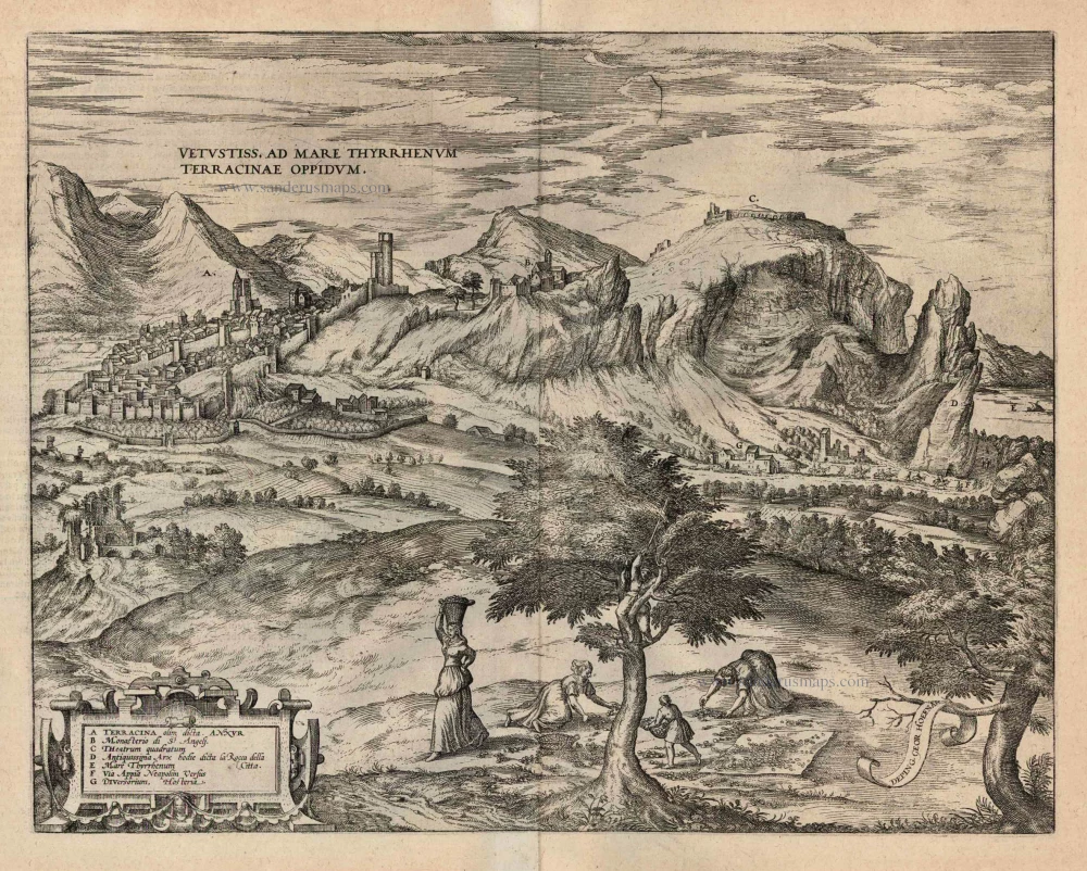
Vetustiss. Ad Mare Thyrrhenum Terracinae Oppidum. 1599
Terracina by Braun and Hogenberg.
[Item number: 24069]

Mirabilium Sulphureorum Motium Apud Puteolos campos. 1599
The Phlegraean Fields (Campi Flegrei), by Braun and Hogenberg.
[Item number: 24073]

Brixen - Brixia Tyrolis [on sheet with] Laugingen - Laubinga Sueviae Opp. Alberti Magni Patria. 1599
Bressanone (Brixen) in South Tyrol Italy and Lauingen in Schwaben Germany, by Georg Braun and Frans Hogenberg.
[Item number: 24119]
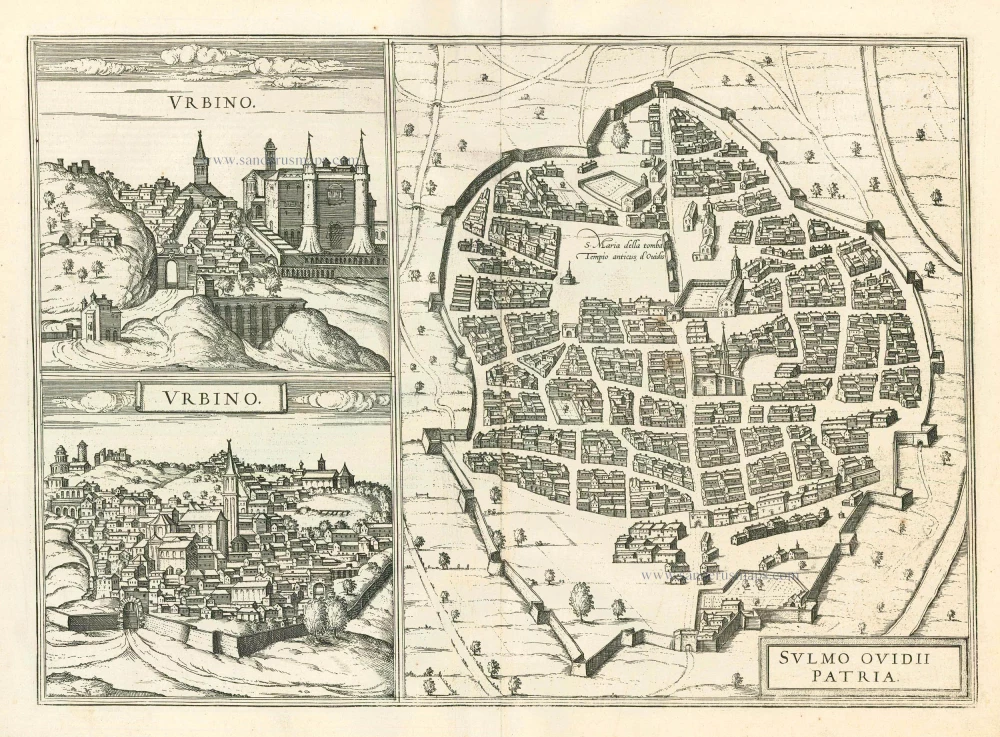
Urbino - Sulmo Ovidii Patria 1599
Urbino and Sulmona, by Braun and Hogenberg.
[Item number: 24126]

Calatia vulgo Caiazo, perantiquum Campaniae foelicis oppidum. 1596
Caiazzo by Braun and Hogenberg.
[Item number: 24198]

Roma. 1658/60
Rome (Roma), by P.H. Schut.
[Item number: 26626]

Veduta della Dogana di Terra a Piazza di Pietra. c. 1780
Rome (Roma), Piazza di Pietra, after Piranesi, published in Paris by the Jean family.
[Item number: 28903]

Nouveau Pland de la Ville de Rome tiré par ordre du Pape par Matteo Gregoria de Romans tres utille pour les voiageurs. 1713
Bird's eye view plan of Rome by Zacharias Châtelain.
[Item number: 29640]

La situation de la ville de Rome, comme elle est ceste annee 1549. 1568
Rome, by Sebastian Münster.
[Item number: 30595]

Roma. c. 1610
Rome by Georg Braun & Frans Hogenberg
[Item number: 30631]