
Parergon map
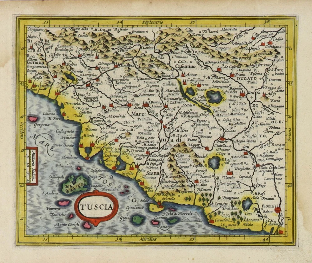
Ancient Tuscany (Toscana), by Abraham Ortelius. 1595

Abraham Ortelius (1527-1598)
The maker of the 'first atlas', the Theatrum Orbis Terrarum (1570), was born on 4 April 1527 into an old Antwerp family. He learned Latin and studied Greek and mathematics.
Abraham and his sisters, Anne and Elizabeth, took up map colouring. Ortelius was admitted to the Guild of St. Luke as an "illuminator of maps." In addition to colouring maps, Ortelius was a dealer in antiques, coins, maps, and books, and the book and map trade gradually became his primary occupation.
Business went well because his means allowed him to amass an extensive collection of medals, coins, and antiques, as well as a library of many volumes. In addition, he travelled extensively, visited Italy and France, made contacts with scholars and editors everywhere, and maintained extensive correspondence with them.
In 1564, he published his first map, a large and ambitious world wall map. The inspiration for this map may well have been Gastaldi's large world map. In 1565, he published a map of Egypt and a map of the Holy Land; a large map of Asia followed.
In 1568, the production of individual maps for his atlas Theatrum Orbis Terrarum was already in full swing. He completed the atlas in 1569, and in May 1570, it was available for sale. It was one of the most expensive books ever published.
This first edition contained seventy maps on fifty-three sheets. Franciscus Hogenberg engraved the maps.
Later editions included Additamenta (additions), resulting in Ortelius' historical atlas, the Parergon, which is mainly bound together with the atlas. The Parergon can be considered a truly original work by Ortelius, who drew the maps based on his research.
The importance of the Theatrum Orbis Terrarum for geographical knowledge in the last quarter of the sixteenth century is difficult to overemphasise. Nothing was like it until Mercator's atlas appeared twenty-five years later. Demand for the Theatrum was remarkable. Some 24 editions appeared during Ortelius's lifetime, and another 10 after he died in 1598. Editions were published in Dutch, German, French, Spanish, English, and Italian. The number of map sheets grew from 53 in 1570 to 167 in the last edition in 1612.
In 1577, engraver Philip Galle and poet-translator Pieter Heyns published the first pocket-sized edition of the Theatrum, the Epitome. The work was trendy. Over thirty editions of this Epitome were published in different languages.
Ortelius is also remembered for an early idea resembling continental drift: he suggested that the Americas, Europe, and Africa may once have been joined together before separating over time. His work helped shape the development of modern geography and mapmaking.
Tusciae Antiquae Typus.
Item Number: 30672 Authenticity Guarantee
Category: Antique maps > Europe > Italy
Ancient Tuscany (Toscana), by Abraham Ortelius.
Title: Tusciae Antiquae Typus.
Ex conatibus geographicis Ab. Ortelij
Cum privilegio Imperiali et Belgico ad decennium 1584.
Cartographer: Abraham Ortelius.
Date of the first edition: 1584 (Plate 1).
Date of this map: 1595 (Second plate).
Date on map: 1584.
Copper engraving, printed on paper.
Image size: 320 x 485mm (12.6 x 19.09 inches).
Sheet size: 465 x 555mm (18.31 x 21.85 inches).
Verso: Latin text.
Condition: Excellent.
Condition Rating: A+.
From: Theatrum Orbis Terrarum. Antwerp, Plantin Press, 1595. (Van der Krogt 3, 31:051)
Meurer or Karrow do not mention this second plate.
Abraham Ortelius (1527-1598)
The maker of the 'first atlas', the Theatrum Orbis Terrarum (1570), was born on 4 April 1527 into an old Antwerp family. He learned Latin and studied Greek and mathematics.
Abraham and his sisters, Anne and Elizabeth, took up map colouring. Ortelius was admitted to the Guild of St. Luke as an "illuminator of maps." In addition to colouring maps, Ortelius was a dealer in antiques, coins, maps, and books, and the book and map trade gradually became his primary occupation.
Business went well because his means allowed him to amass an extensive collection of medals, coins, and antiques, as well as a library of many volumes. In addition, he travelled extensively, visited Italy and France, made contacts with scholars and editors everywhere, and maintained extensive correspondence with them.
In 1564, he published his first map, a large and ambitious world wall map. The inspiration for this map may well have been Gastaldi's large world map. In 1565, he published a map of Egypt and a map of the Holy Land; a large map of Asia followed.
In 1568, the production of individual maps for his atlas Theatrum Orbis Terrarum was already in full swing. He completed the atlas in 1569, and in May 1570, it was available for sale. It was one of the most expensive books ever published.
This first edition contained seventy maps on fifty-three sheets. Franciscus Hogenberg engraved the maps.
Later editions included Additamenta (additions), resulting in Ortelius' historical atlas, the Parergon, which is mainly bound together with the atlas. The Parergon can be considered a truly original work by Ortelius, who drew the maps based on his research.
The importance of the Theatrum Orbis Terrarum for geographical knowledge in the last quarter of the sixteenth century is difficult to overemphasise. Nothing was like it until Mercator's atlas appeared twenty-five years later. Demand for the Theatrum was remarkable. Some 24 editions appeared during Ortelius's lifetime, and another 10 after he died in 1598. Editions were published in Dutch, German, French, Spanish, English, and Italian. The number of map sheets grew from 53 in 1570 to 167 in the last edition in 1612.
In 1577, engraver Philip Galle and poet-translator Pieter Heyns published the first pocket-sized edition of the Theatrum, the Epitome. The work was trendy. Over thirty editions of this Epitome were published in different languages.
Ortelius is also remembered for an early idea resembling continental drift: he suggested that the Americas, Europe, and Africa may once have been joined together before separating over time. His work helped shape the development of modern geography and mapmaking.
Related items

Thusciae. 1601
Tuscany (Toscana), by A. Ortelius.
[Item number: 8067]

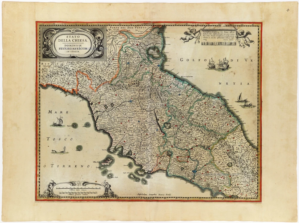
Stato della Chiesa con la Toscana 1644-58
Papal State - Tuscany (Toscana) by Janssonius J. - Hondius H.
[Item number: 19236]

Le Grand Duché de Toscane. 1713
Tuscany (Toscana) by P. Van der Aa.
[Item number: 26079]
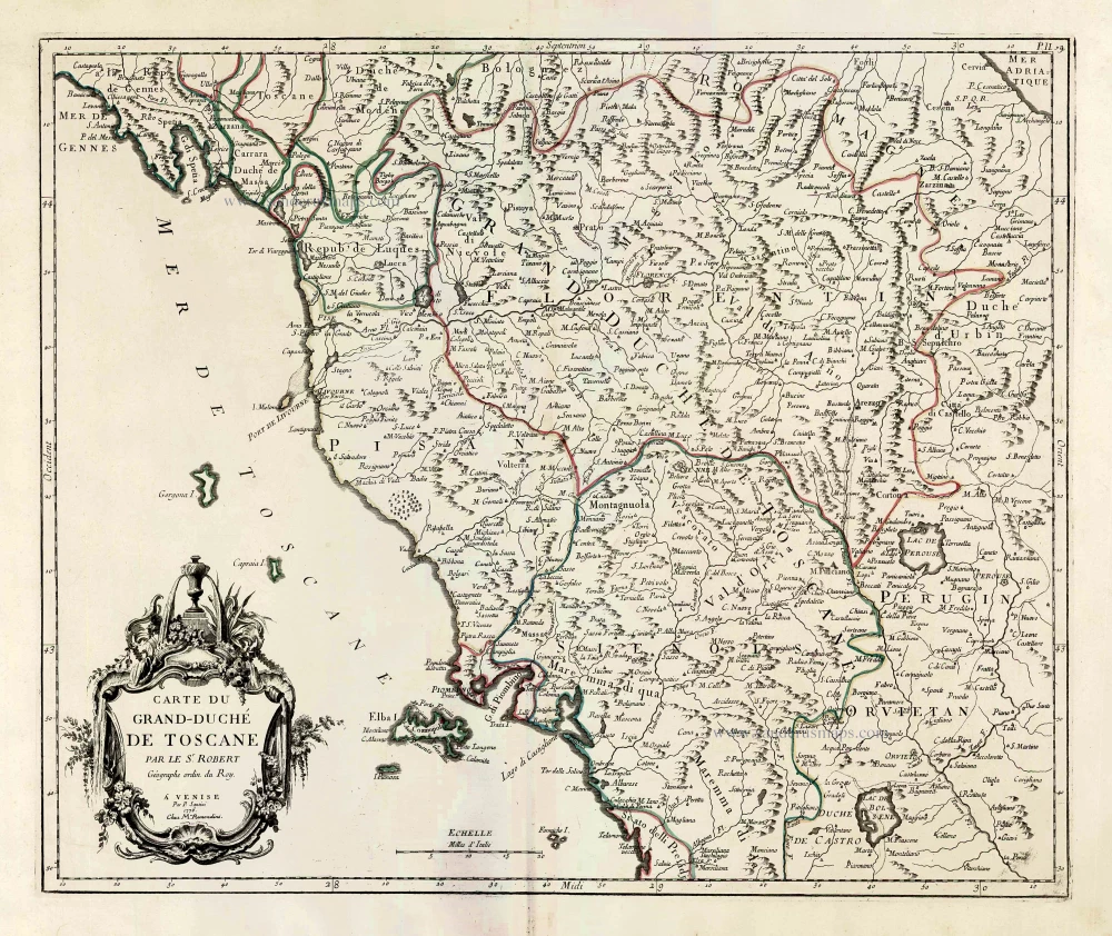
Carte du Grand-Duché de Toscane. 1776-79
Tuscany (Toscana) by Francesco & Paolo Santini
[Item number: 27724]

Tuscia. c. 1610-1650
Tuscany (Toscana), by Gerard Mercator.
[Item number: 30924]
Tuscia. 1607
Toscana by Gerard Mercator, published by Jodocus Hondius.
[Item number: 31461]

Thuscia. 1618
Toscana by Petrus Bertius, published by Jodocus Hondius II.
[Item number: 31634]

Stato della Chiesa, con la Toscana. 1647
Papal State - Tuscany (Toscana), by Willem Blaeu.
[Item number: 31840]

Scarce
Status Ecclesiasticus et Magnus Ducatus Thoscanae. c. 1696
Tuscany - Papal States by Cornelis Danckerts.
[Item number: 32509]

Rare
Toscana Inferiore, Detta Anticamente Tuscia Suburbicaria. 1675
Toscana (Tuscany) by Joannes Janssonius.
[Item number: 32601]

Descrittione dello Stato della Chiesa e della Toscana 1687
Papal States - Tuscany (Toscana), by Michel Antoine Baudrand, published by Giovanni de Rossi.
[Item number: 32919]
Stato della Chiesa. - Dominium Ecclesiasticum in Italia. c. 1633-1650
Papal State & central Italy by Henricus Hondius
[Item number: 33030]