
Arnhem, Venlo, Gelre, Roermond, by Georg Braun & Frans Hogenberg. 1623


ARNHEM
CARTOUCHE: Arnhem, town in Guelders on the Rhine.
COMMENTARY BY BRAUN: "Arnhem lies on the right side of the right arm of the Rhine, about half a mile from the point at which it divides into two. [...] The area is marshy, damp and forested, so there is much to hunt here. It is bordered on the east by the IJssel, to the north by the Zuiderzee, to the east by the Vecht and to the south by the Rhine or Lek, which makes for excellent fishing."
Following the alteration of the course of the Rhine around 1500, Arnhem - seen in plan view from the south, surrounded and traversed by canals - found itself on the Lower Rhine. In Braun's day, it numbered almost 4,000 inhabitants. Visible in the southern part of the town is the church of Sint-Eusebius (Grote Kerk), whose foundation stone was laid in 1450. The city walls were also constructed in the 15th century.
VENLO
CARTOUCHE: Venlo, fortified by nature and human skill, illustrious town on the Meuse.
COMMENTARY BY BRAUN: "Venlo is a town in Guelders that is well protected both by the works of man and by its natural location; it lies on the right bank of the Meuse, half a mile from Straelen and is an industrious city of commerce."
The bird's-eye view from the south shows Venlo nestled on the eastern bank of the wide River Meuse and surrounded by moats, canals and fortification walls. Its favourable location formerly made Venlo - chartered in 1343 - a Hanseatic town. In 1543 William the Rich, Duke of Jülich-Cleves-Berg, surrendered to the militarily superior Emperor Charles V following a war of succession; signing the Treaty of Venlo sealed the end of the Duchy of Guelders.
GELDERN
CARTOUCHE: The town of Geldern, which gave its name to the entire region.
COMMENTARY BY BRAUN: "Many old stories tell how, in the time of Charles the Bald, a terrible and poisonous beast lived beneath an oak tree near the place where Geldern now lies. The Lord of Pont's two sons, displaying incredible courage, attacked this beast and finely defeated and filled it after fierce resistance. In commemoration of this feat, they built a castle on the bank of the Niers, not far from the Meuse, which they named Gelre, after the many and piteous screams of this beast."
The bird's-eye plan from the north depicts Geldern - formerly anglicized as Guelders - situated between the arms of the Rivers Fliuth and Niers and behind the fortifications enlarged in the 14th/15th centuries. Prominent bottom left, on the two islands in the Niers, is the castle around which - so legend would have it - Geldern sprang up. The town received its charter in the 13th century. The parish church of St Maria Magdalena is visible on the market square. Geldern is located in the German state of North Rhine-Westphalia.
ROERMOND
CARTOUCHE: Roermond, city in Guelders.
COMMENTARY BY BRAUN: "Roermond is an important town in the Duchy of Guelders founded exactly on the spot where the Roer flows into the Meuse. It lies three miles from Venlo and was made a bishopric; D. Wilhelmus Lindanus, who became famous for his numerous theological writings, was the city's first bishop."
The Dutch town of Roermond lies just 25 km from Venlo, at the mouth of the River Roer, which flows into the Meuse. The Munsterkerk (Onze-Lieve-Vrouwekerk) is visible in the centre, originally part of a Cistercian nunnery. When the region passed to the Spanish Netherlands after the treaty of Venlo, the diocese was reorganized, and the inquisitor Lindanus (Wilhelm van der Lindt), just 38 years old at the time, was installed as bishop at its head but was rejected by the town's citizens.
Braun G. & Hogenberg F. and the Civitates Orbis Terrarum.
The Civitates Orbis Terrarum, also known as the 'Braun & Hogenberg', is a six-volume town atlas and the most excellent book of town views and plans ever published: 363 engravings, sometimes beautifully coloured. It was one of the best-selling works in the last quarter of the 16th century. Georg Braun, a skilled writer, wrote the text accompanying the plans and views on the verso. Many plates were engraved after the original drawings of a professional artist, Joris Hoefnagel (1542-1600). The first volume was published in Latin in 1572 and the sixth in 1617. Frans Hogenberg, a talented engraver, created the tables for volumes I through IV, and Simon van den Neuwel made those for volumes V and VI. Other contributors were cartographers Daniel Freese and Heinrich Rantzau, who provided valuable geographical information. Works by Jacob van Deventer, Sebastian Münster, and Johannes Stumpf were also used as references. Translations appeared in German and French, making the atlas accessible to a broader audience.
Since its original publication of volume 1 in 1572, the Civitates Orbis Terrarum has left an indelible mark on the history of cartography. Seven more editions followed the first volume in 1575, 1577, 1582, 1588, 1593, 1599, and 1612. Vol.2, initially released in 1575, saw subsequent editions in 1597 and 1612. The subsequent volumes, each a treasure trove of historical insights, graced the world in 1581, 1588, 1593, 1599, and 1606. The German translation of the first volume, a testament to its widespread appeal, debuted in 1574, followed by the French edition in 1575.
Several printers were involved: Theodor Graminaeus, Heinrich von Aich, Gottfried von Kempen, Johannis Sinniger, Bertram Buchholtz, and Peter von Brachel, all of whom worked in Cologne.
Georg Braun (1541-1622)
Georg Braun, the author of the text accompanying the plans and views in the Civitates Orbis Terrarum, was born in Cologne in 1541. After his studies in Cologne, he entered the Jesuit Order as a novice, indicating his commitment to learning and intellectual pursuits. In 1561, he obtained his bachelor's degree; in 1562, he received his Magister Artium, further demonstrating his academic achievements. Although he left the Jesuit Order, he continued his studies in theology, gaining a licentiate in theology. His theological background likely influenced the content and tone of the text in the Civitates Orbis Terrarum, adding a unique perspective to the work.
Frans Hogenberg (1535-1590)
Frans Hogenberg was a Flemish and German painter, engraver, and mapmaker. He was born in Mechelen as the son of Nicolaas Hogenberg.
By the end of the 1560s, Frans Hogenberg was employed upon Abraham Ortelius's Theatrum Orbis Terrarum, published in 1570; he is named an engraver of numerous maps. In 1568, he was banned from Antwerp by the Duke of Alva and travelled to London, where he stayed a few years before emigrating to Cologne. He immediately embarked on his two most important works, the Civitates, published in 1572 and the Geschichtsblätter, which appeared in several series from 1569 until about 1587.
Thanks to large-scale projects like the Geschichtsblätter and the Civitates, Hogenberg's social circumstances improved with each passing year. He died as a wealthy man in Cologne in 1590.
Arnhemium (on sheet with) Venlonum (and) Gelria (and) Ruremunda.
Item Number: 22200 Authenticity Guarantee
Category: Antique maps > Europe > The Netherlands - Cities
Antique map with four bird's-eye plans by Braun and Hogenberg: Arnhem, Venlo, Gelre and Roermond.
The four town plans are engraved after designs by Jacob van Deventer.
Title: Arnhemium (on sheet with) Venlonum (and) Gelria (and) Ruremunda.
Date of the first edition: 1581.
Date of this map: 1623.
Copper engraving, printed on paper.
Size (not including margins): 370 x 493mm (14.57 x 19.41 inches).
Verso: Latin text.
Condition: Excellent, nice old colour.
Condition Rating: A+.
From: Civitates Orbis Terrarum. - Urbium Praeciuarum Totius Mundi Liber Terius. Cologne, Petrus von Brachel, 1623. (Van der Krogt 4, 41:1.3)
ARNHEM
CARTOUCHE: Arnhem, town in Guelders on the Rhine.
COMMENTARY BY BRAUN: "Arnhem lies on the right side of the right arm of the Rhine, about half a mile from the point at which it divides into two. [...] The area is marshy, damp and forested, so there is much to hunt here. It is bordered on the east by the IJssel, to the north by the Zuiderzee, to the east by the Vecht and to the south by the Rhine or Lek, which makes for excellent fishing."
Following the alteration of the course of the Rhine around 1500, Arnhem - seen in plan view from the south, surrounded and traversed by canals - found itself on the Lower Rhine. In Braun's day, it numbered almost 4,000 inhabitants. Visible in the southern part of the town is the church of Sint-Eusebius (Grote Kerk), whose foundation stone was laid in 1450. The city walls were also constructed in the 15th century.
VENLO
CARTOUCHE: Venlo, fortified by nature and human skill, illustrious town on the Meuse.
COMMENTARY BY BRAUN: "Venlo is a town in Guelders that is well protected both by the works of man and by its natural location; it lies on the right bank of the Meuse, half a mile from Straelen and is an industrious city of commerce."
The bird's-eye view from the south shows Venlo nestled on the eastern bank of the wide River Meuse and surrounded by moats, canals and fortification walls. Its favourable location formerly made Venlo - chartered in 1343 - a Hanseatic town. In 1543 William the Rich, Duke of Jülich-Cleves-Berg, surrendered to the militarily superior Emperor Charles V following a war of succession; signing the Treaty of Venlo sealed the end of the Duchy of Guelders.
GELDERN
CARTOUCHE: The town of Geldern, which gave its name to the entire region.
COMMENTARY BY BRAUN: "Many old stories tell how, in the time of Charles the Bald, a terrible and poisonous beast lived beneath an oak tree near the place where Geldern now lies. The Lord of Pont's two sons, displaying incredible courage, attacked this beast and finely defeated and filled it after fierce resistance. In commemoration of this feat, they built a castle on the bank of the Niers, not far from the Meuse, which they named Gelre, after the many and piteous screams of this beast."
The bird's-eye plan from the north depicts Geldern - formerly anglicized as Guelders - situated between the arms of the Rivers Fliuth and Niers and behind the fortifications enlarged in the 14th/15th centuries. Prominent bottom left, on the two islands in the Niers, is the castle around which - so legend would have it - Geldern sprang up. The town received its charter in the 13th century. The parish church of St Maria Magdalena is visible on the market square. Geldern is located in the German state of North Rhine-Westphalia.
ROERMOND
CARTOUCHE: Roermond, city in Guelders.
COMMENTARY BY BRAUN: "Roermond is an important town in the Duchy of Guelders founded exactly on the spot where the Roer flows into the Meuse. It lies three miles from Venlo and was made a bishopric; D. Wilhelmus Lindanus, who became famous for his numerous theological writings, was the city's first bishop."
The Dutch town of Roermond lies just 25 km from Venlo, at the mouth of the River Roer, which flows into the Meuse. The Munsterkerk (Onze-Lieve-Vrouwekerk) is visible in the centre, originally part of a Cistercian nunnery. When the region passed to the Spanish Netherlands after the treaty of Venlo, the diocese was reorganized, and the inquisitor Lindanus (Wilhelm van der Lindt), just 38 years old at the time, was installed as bishop at its head but was rejected by the town's citizens.
Braun G. & Hogenberg F. and the Civitates Orbis Terrarum.
The Civitates Orbis Terrarum, also known as the 'Braun & Hogenberg', is a six-volume town atlas and the most excellent book of town views and plans ever published: 363 engravings, sometimes beautifully coloured. It was one of the best-selling works in the last quarter of the 16th century. Georg Braun, a skilled writer, wrote the text accompanying the plans and views on the verso. Many plates were engraved after the original drawings of a professional artist, Joris Hoefnagel (1542-1600). The first volume was published in Latin in 1572 and the sixth in 1617. Frans Hogenberg, a talented engraver, created the tables for volumes I through IV, and Simon van den Neuwel made those for volumes V and VI. Other contributors were cartographers Daniel Freese and Heinrich Rantzau, who provided valuable geographical information. Works by Jacob van Deventer, Sebastian Münster, and Johannes Stumpf were also used as references. Translations appeared in German and French, making the atlas accessible to a broader audience.
Since its original publication of volume 1 in 1572, the Civitates Orbis Terrarum has left an indelible mark on the history of cartography. Seven more editions followed the first volume in 1575, 1577, 1582, 1588, 1593, 1599, and 1612. Vol.2, initially released in 1575, saw subsequent editions in 1597 and 1612. The subsequent volumes, each a treasure trove of historical insights, graced the world in 1581, 1588, 1593, 1599, and 1606. The German translation of the first volume, a testament to its widespread appeal, debuted in 1574, followed by the French edition in 1575.
Several printers were involved: Theodor Graminaeus, Heinrich von Aich, Gottfried von Kempen, Johannis Sinniger, Bertram Buchholtz, and Peter von Brachel, all of whom worked in Cologne.
Georg Braun (1541-1622)
Georg Braun, the author of the text accompanying the plans and views in the Civitates Orbis Terrarum, was born in Cologne in 1541. After his studies in Cologne, he entered the Jesuit Order as a novice, indicating his commitment to learning and intellectual pursuits. In 1561, he obtained his bachelor's degree; in 1562, he received his Magister Artium, further demonstrating his academic achievements. Although he left the Jesuit Order, he continued his studies in theology, gaining a licentiate in theology. His theological background likely influenced the content and tone of the text in the Civitates Orbis Terrarum, adding a unique perspective to the work.
Frans Hogenberg (1535-1590)
Frans Hogenberg was a Flemish and German painter, engraver, and mapmaker. He was born in Mechelen as the son of Nicolaas Hogenberg.
By the end of the 1560s, Frans Hogenberg was employed upon Abraham Ortelius's Theatrum Orbis Terrarum, published in 1570; he is named an engraver of numerous maps. In 1568, he was banned from Antwerp by the Duke of Alva and travelled to London, where he stayed a few years before emigrating to Cologne. He immediately embarked on his two most important works, the Civitates, published in 1572 and the Geschichtsblätter, which appeared in several series from 1569 until about 1587.
Thanks to large-scale projects like the Geschichtsblätter and the Civitates, Hogenberg's social circumstances improved with each passing year. He died as a wealthy man in Cologne in 1590.
Related items
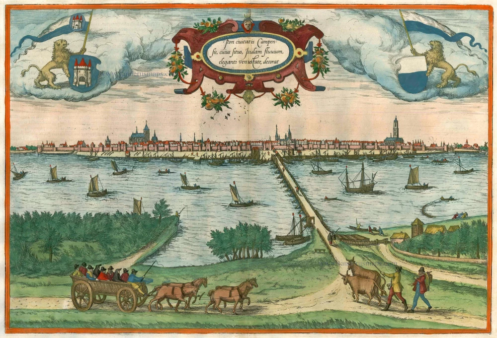
Icon civitatis Campensis, cuius situs Isulam fluvium, eleganti venustate, decorat 1575
Kampen, by Georg Braun and Frans Hogenberg.
[Item number: 9364]

Aernhem. 1649
Arnhem by J. Blaeu.
[Item number: 13050]

Arnhemium Gelriae in Ripa Rheni Opp. 1582
Arnhem by Ludovico Guicciardini.
[Item number: 13625]

Nymmegen - Noviomagium sive Nouiomagum vulgo Nijmmegen inclyta quoda Francorum Regia Urbs Gelriae primaria. 1582
Nijmegen, by Braun & Hogenberg.
[Item number: 14229]

Urbis Campensis ad Isalam Fluvium Icon. 1581-88
Kampen, by Georg Braun and Frans Hogenberg.
[Item number: 22215]
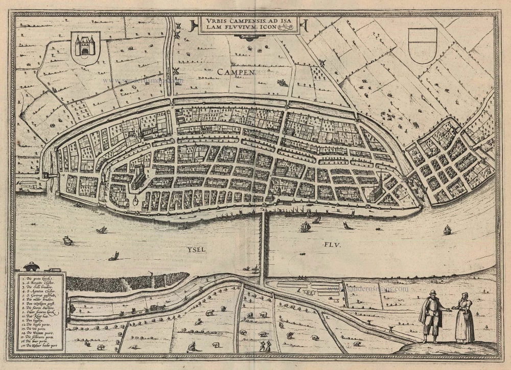
Urbis Campensis ad Isalam Fluvium Icon. 1599
Kampen by Braun and Hogenberg.
[Item number: 24049]

Ruermonde - Ruremunda Gelriae Opp. 1612
Roermond by Ludovico Guicciardini.
[Item number: 32864]

Arnhem - Arnhemium Gelriae in Ripa Rheni Opp 1612
Arnhem by Ludovico Guicciardini.
[Item number: 32866]

Beautiful old colouring
Ruraemunda Vulgo Roermond. 1652
Roermond, by Joan Blaeu.
[Item number: 33080]
new