
Denmark, by Guillaume Sanson, published by Giovanni de Rossi. 1687

de Rossi Family
Seventeenth-century Rome was home to the famous publishing house of de Rossi. Two branches of the family used the addresses in Piazza Navona and Piazza della Pace; the latter was the more important house. Giuseppe de Rossi founded the house in 1613 and continued until he died in 1639. Giovanni Giacomo de Rossi flourished from 1649 to 1691. In 1677, he published a folio atlas titled Mercurio Geografico. It was drawn almost entirely from the cartography of the Sanson family in Paris. Whether it was with their permission or simple plagiarism is unknown, but they are credited. (Burden)
Giuseppe Rossi (flourished 1613-1639), Publisher at 'Piazza della Pace'.
Giovanni Giacomo de Rossi (1627-1691), Printer and publisher at 'Alla Pace all'insegna di Parigi', Rome.
Domenico de Rossi (flourished c. 1691-c. 1720), Successor to Giovanni Giacomo Rossi.
Lorenzo Filippo Rossi (flourished c. 1720-1738). Successor to Domenico.
In 1738, the Rossi plates were sold to the government of the Papal States.
SANSON FAMILY
Nicolas Sanson (1600-1667) - Guillaume Sanson (1633-1703) - Pierre Moullart-Sanson (? -1730)
Originally from Abbeville, Nicolas I Sanson showed a keen interest in historical geography. He was still very young; he published a map of ancient Gaul and two treatises, Britannia and Portus Itius on Abbeville and Boulogne's origins. His meeting with Melchior Tavernier was decisive: it prompted him to give up his duties as a military engineer in Picardy and devote himself to engraved cartography.
At the same time, Sanson had drawn up the outline of modern France. He got the help of Tavernier, who encouraged him to compete with the Dutch map publishers. Tavernier contacted other French cartographers whose works he published.
From 1643, N. Sanson obtained a privilege to publish a work personally, the Princes souverains de l'Italie. Then, in 1644 and 1645, he had his famous geographical tables printed, which significantly contributed to his fame. He also published a series of atlases in quarto of the four continents.
In 1648, N. Sanson associated himself with Mariette to publish atlases. From then on, specific maps bore his name and others Mariette's. N. Sanson and Mariette worked together for more than 20 years. After the death of N. Sanson, Mariette acquired the entire fund. Since Mariette only wanted to publish complete atlases, individual maps were no longer sold, and some army generals complained to the king.
The disagreement between the Sanson family and Pierre II Mariette culminated in 1671 when Guillaume Sanson took the case to court. There was no longer any question of collaboration: Guillaume Sanson started working for another publisher, Alexis-Hubert Jaillot.
The Sanson family faced financial difficulties, and in 1692, their cousin, Pierre Moullart-Sanson, bought the entire geographic fund from his uncles and aunt. Pierre Moullart-Sanson was the son of Françoise Sanson (third child of Nicolas) and Pierre Moullart. He restarted the publishing of Sanson's world atlas, and in 1704 he acquired a privilege for publishing all the works of Nicolas and Guillaume Sanson, which continued to be published until 1730.
Regno di Danimarca.
Item Number: 32958 Authenticity Guarantee
Category: Antique maps > Europe > Northern Europe
Denmark, by Guillaume Sanson, published by Giovanni de Rossi.
Title: Regno di Danimarca.
Diviso nelle Sue due Iutlandie Cioe settentrionale in quattro Diocesi Et Australe, é il Ducato di Sleswick Il Ducato di Holsatia In quattre Contadi Con l'isole di Zeeland, Fionia et Altre Adiacenti.
Nuovamente Corretta et Accresciuta Secondo le relationi piu moderne da G. Sansone Geografo di S.M. Christianis[sim]a & data in luce da Gio. Giacomo de Rossi In Roma nella Sua Stamperia alla Pace l'Anno 1677 Con Priv. del S. Pont.
S. Roger Sculp.
Engraver: S. Roger.
Date of the first edition: 1677.
Date of this map: 1687.
Date on map: 1677.
Copper engraving, printed on paper.
Image size: 400 x 505mm (15¾ x 20 inches).
Sheet size: 475 x 610mm (18¾ x 24 inches).
Verso: Blank.
Condition: Original coloured in outline, excellent.
Condition Rating: A+.
From: Mercurio Geografico overo Guida Geografica in Tutte le Parti di Mondo Conforme le Tavole Geografiche del Sansone Baudrand e Cantelli. Rome, [1687]. (Shirley (Brit. Lib.), T.ROSS-1b)
de Rossi Family
Seventeenth-century Rome was home to the famous publishing house of de Rossi. Two branches of the family used the addresses in Piazza Navona and Piazza della Pace; the latter was the more important house. Giuseppe de Rossi founded the house in 1613 and continued until he died in 1639. Giovanni Giacomo de Rossi flourished from 1649 to 1691. In 1677, he published a folio atlas titled Mercurio Geografico. It was drawn almost entirely from the cartography of the Sanson family in Paris. Whether it was with their permission or simple plagiarism is unknown, but they are credited. (Burden)
Giuseppe Rossi (flourished 1613-1639), Publisher at 'Piazza della Pace'.
Giovanni Giacomo de Rossi (1627-1691), Printer and publisher at 'Alla Pace all'insegna di Parigi', Rome.
Domenico de Rossi (flourished c. 1691-c. 1720), Successor to Giovanni Giacomo Rossi.
Lorenzo Filippo Rossi (flourished c. 1720-1738). Successor to Domenico.
In 1738, the Rossi plates were sold to the government of the Papal States.
SANSON FAMILY
Nicolas Sanson (1600-1667) - Guillaume Sanson (1633-1703) - Pierre Moullart-Sanson (? -1730)
Originally from Abbeville, Nicolas I Sanson showed a keen interest in historical geography. He was still very young; he published a map of ancient Gaul and two treatises, Britannia and Portus Itius on Abbeville and Boulogne's origins. His meeting with Melchior Tavernier was decisive: it prompted him to give up his duties as a military engineer in Picardy and devote himself to engraved cartography.
At the same time, Sanson had drawn up the outline of modern France. He got the help of Tavernier, who encouraged him to compete with the Dutch map publishers. Tavernier contacted other French cartographers whose works he published.
From 1643, N. Sanson obtained a privilege to publish a work personally, the Princes souverains de l'Italie. Then, in 1644 and 1645, he had his famous geographical tables printed, which significantly contributed to his fame. He also published a series of atlases in quarto of the four continents.
In 1648, N. Sanson associated himself with Mariette to publish atlases. From then on, specific maps bore his name and others Mariette's. N. Sanson and Mariette worked together for more than 20 years. After the death of N. Sanson, Mariette acquired the entire fund. Since Mariette only wanted to publish complete atlases, individual maps were no longer sold, and some army generals complained to the king.
The disagreement between the Sanson family and Pierre II Mariette culminated in 1671 when Guillaume Sanson took the case to court. There was no longer any question of collaboration: Guillaume Sanson started working for another publisher, Alexis-Hubert Jaillot.
The Sanson family faced financial difficulties, and in 1692, their cousin, Pierre Moullart-Sanson, bought the entire geographic fund from his uncles and aunt. Pierre Moullart-Sanson was the son of Françoise Sanson (third child of Nicolas) and Pierre Moullart. He restarted the publishing of Sanson's world atlas, and in 1704 he acquired a privilege for publishing all the works of Nicolas and Guillaume Sanson, which continued to be published until 1730.
Related items

Iutiae Tabula in qua sunt Dioecesis Alburgensis, Wiburgensis, Ripensis et Arhusiensis quae et sunt divisae in Omnia Dominia. c. 1680
Denmark - Jutland, by F. De Wit.
[Item number: 2669]

Pascaart om Door de Sond en de Droogen te Seylen Strekkende van Kol tot Meun 1697-1709
Denmark - Sjaelland, by J. Van Keulen Johannes.
[Item number: 4495]

Paskaert van t' Schager-Rak 1697-1709
Denmark - Skagerrak and Kattegat, by Van Keulen Johannes.
[Item number: 5394]

Paskaart vande West Kust van Jutland van Busem tot aen 't Jutsche Riff met Alle syn Eylanden daer onder Begrepen. 1697-1709
Sea chart of Denmark (Westcoast of Jutland), by J. Van Keulen.
[Item number: 13449]

Carte de l'Etat du Royaume de Dannemarck et diverses observations pour conduire à l'Intelligence de l'Histoire et du Gouvernement de ce Royaume. 1714
Denmark - Copenhagen, by Zacharias Châtelain.
[Item number: 21339]
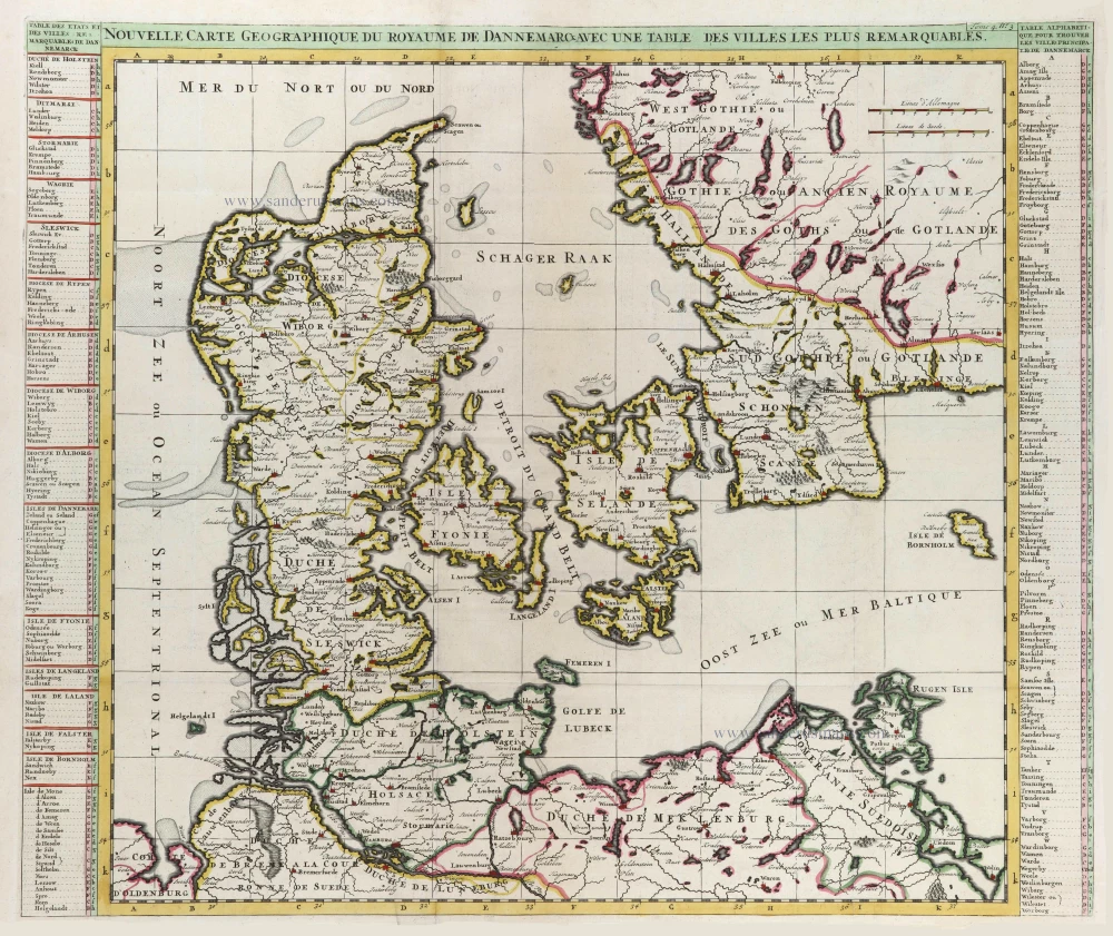
Nouvelle Carte Géographique du Royaume de Dannemarck avec une Table des Villes les plus remarquables. 1714
Denmark, by Zacharias Châtelain.
[Item number: 21341]

Le Royaume de Danemark Subdivisé en ses Principales Provinces. 1710
Denmark by Sanson - Covens & Mortier.
[Item number: 23736]

Iutiae Tabula in qua sunt Dioecesis Alburgensis, Wiburgensis, Ripensis et Arhusiensis quae et sunt divisae in Omnia Dominia. 1721-41
Denmark - Jutland, by Covens & Mortier.
[Item number: 23738]

Dania Regnum. 1649-55
Denmark, by W. & J. Blaeu.
[Item number: 25266]

Carte du Royaume de Danemarc. 1730
Denmark by Guillaume Delisle, published by Covens & Mortier.
[Item number: 25900]
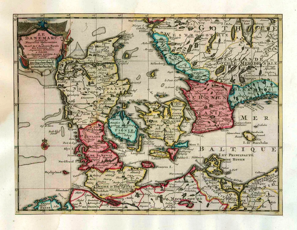
Le Danemarc, Suivant les Nouvelles Observations de Mess.rs de L'Academie Royale des Sciences, etc. 1713
Denmark, by Pieter van der Aa
[Item number: 26044]

Dania Regnum In quo sunt Ducatus Holsatia et Slesvicum Iutia, et Insulae, dictae Danicae, quae Nuncupantur Zelandia, Fionia, Lalandia, Falstria, Langelandia Bornholmia etc. after 1721
Denmark by Frederik de Wit, published by Covens & Mortier.
[Item number: 28268]
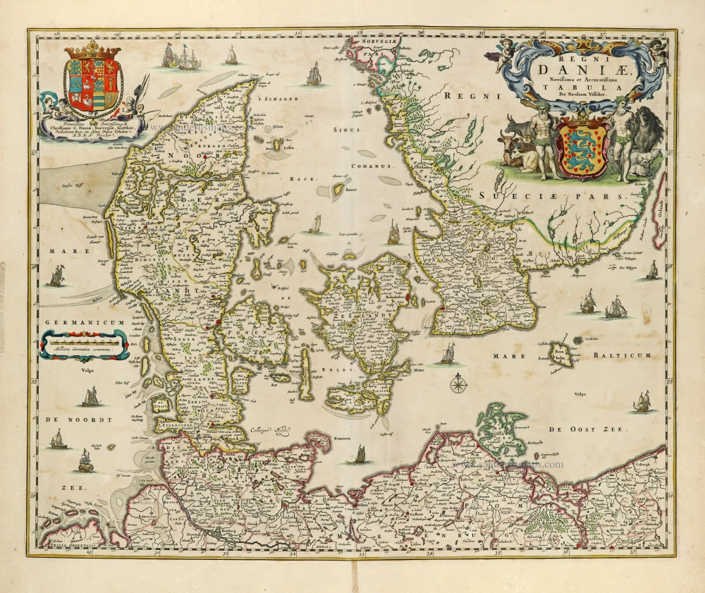
Regni Daniae, Novißima at Accuratißima Tabula. 1660s
Denmark by Nicolaes Visscher I.
[Item number: 28521]

Totius Daniae nova descriptio. 1639-42
Denmark by Henricus Hondius.
[Item number: 28699]
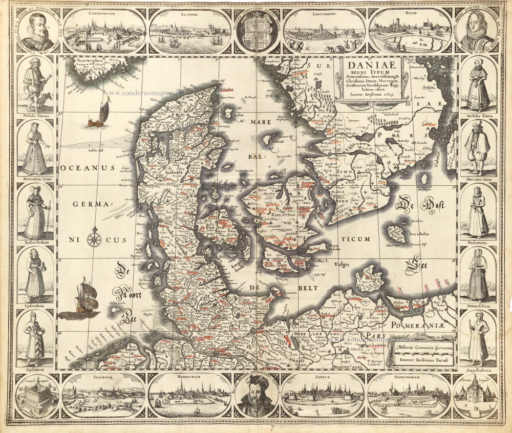
Rare and decorative map from Janssonius' 'Appendix'. Strong impression.
Daniae Regni Typum. 1630
Denmark by Joannes Janssonius.
[Item number: 28950]

Daniae Regni Typus Cornelius Antoniades Descripsit; [On sheet with:] Oldenburg Comit. 1584
Denmark and Jutland by Abraham Ortelius.
[Item number: 29133]

Nouvelle Carte Géographique du Royaume de Dannemarck avec une Table des Villes les plus remarquables. 1714
Denmark by Zacharias Châtelain.
[Item number: 29430]

Le Royaume de Danemark, Divisé en ses Provinces. c. 1709
Denmark by Hubert Jaillot.
[Item number: 29589]

Important map
Daniae Regni Typus. 1574
Denmark by Abraham Ortelius.
[Item number: 29601]

Nova et Accurata descriptio totius Fioniae vulgo Funen. 1653
Denmark - Fyn by Johannes Janssonius.
[Item number: 30344]
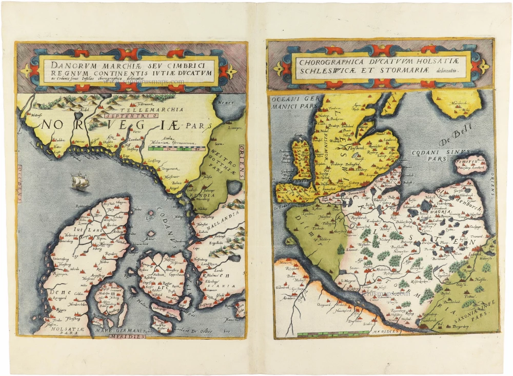
Rare
Danorum Marchiae seu Cimbrici Regnum Continentis Iutiae Ducatum [on sheet with] Chorographica Ducatum Holstatiae Schleswicae et Stormariae 1593
Norway - Denmark by Gerard de Jode
[Item number: 30947]

Famous map of Denmark by Marcus Jordan
Danorum Marca, vel Cimbricum, aut Daniae Regnum ... c. 1593
Denmark, by Georg Braun & Frans Hogenberg.
[Item number: 31044]

Le Royaume de Danemark Subdivisé en ses Principales Provinces. 1692
Denmark by N. Sanson, so-called published by Hubert Jaillot. (Pirated edition by Pierre Mortier).
[Item number: 31169]
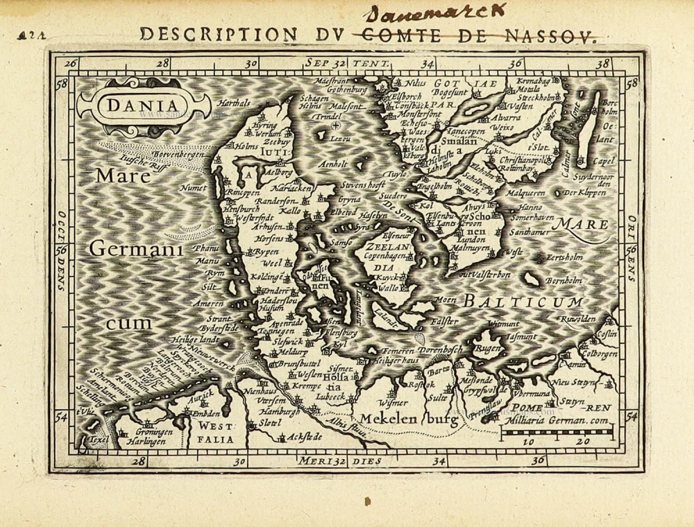
Dania. 1618
Denmark by Petrus Bertius, published by Jodocus Hondius II.
[Item number: 31632]
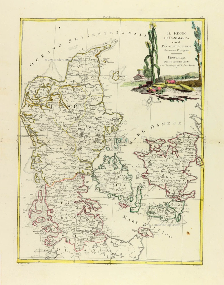
Il Regno di Danimarca, con il Ducato di Sleswik 1779-1785
Denmark, by Antonio Zatta.
[Item number: 31890]

Regni Daniae, in quo sunt Ducatus Holsatia et Slesvicum, Insulae Danicae, Provinciae Iutia Scania Blekingia ec. 1712
Denmark, by Homann J.B.
[Item number: 32204]

Scarce
Dania Regnum In quo sunt Ducatus Holsatia et Slesvicum Insulae Danicae et Provinciae Iutia Scania Blekingia et Hallandia. c. 1680
Denmark by Justus Danckerts.
[Item number: 32523]

Important map of the Island of Hven
Topographia Insulae Huenae in Celebri Porthmo Regni Daniae, quem vulgo Oersunt uocant. 1617
Ven by Braun & Hogenberg
[Item number: 32738]