This product is successfully added to your cart
Questions about this product? (#26174)

Authenticity Guarantee
All items are guaranteed authentic prints (woodcuts or engravings) or manuscripts made at or about (c.) the given date and in good condition unless stated otherwise. We don’t sell facsimiles or reproductions. We deliver every map with a Certificate of Authenticity containing all the details.

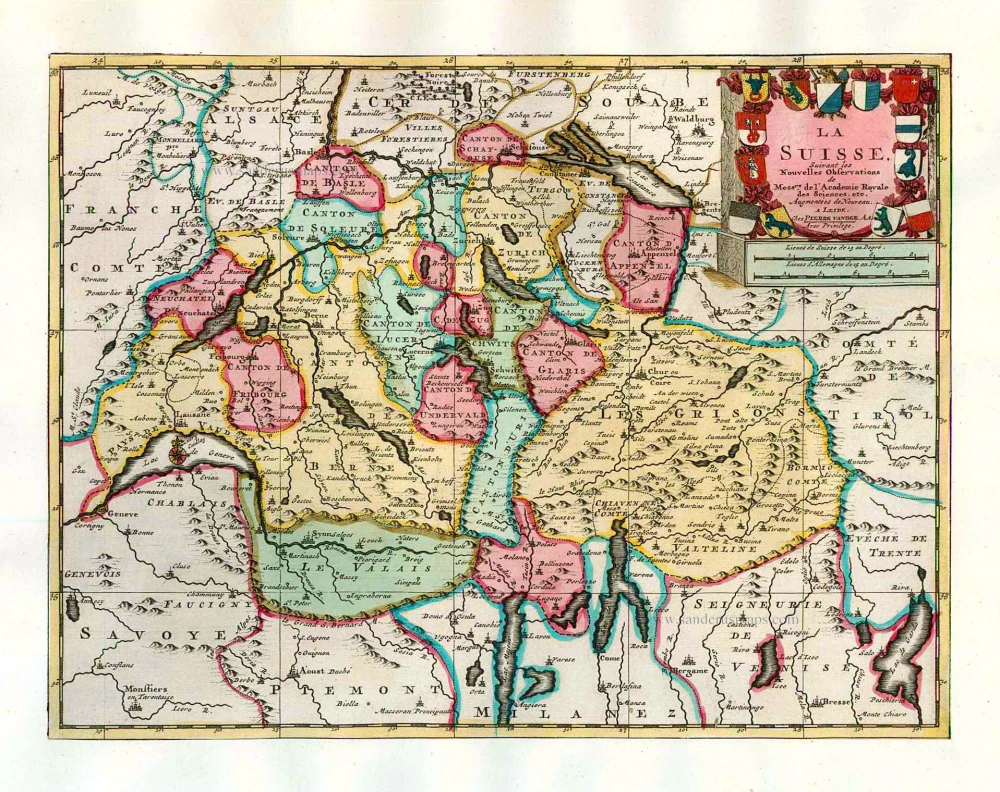
Switzerland, by Pieter Van der Aa. 1713

Pieter van der Aa (Leiden, 1659-1733)

Pieter van der Aa was already in 1682 owner of a bookshop and auction house. During his life, he has published an enormous amount of printed material.
After 1700, van der Aa increasingly specialised in books on geography and travel.
He published composite atlases, a series of geographical descriptions of European countries, and some very spectacular works. Between 1706 and 1708 he published the Naauweurige versameling der gedenkwaardigste zee- en land-reysen, in 28 volumes.
Many of Van der Aa’s publications are richly illustrated with maps and plates. He took over many copperplates and prints from other publishers such as Carel Allard and Frederik De Wit. The composite atlases that appeared from his workshop contain a curious mixture of his own material, copies of maps from other publishers, and reprints made from old copper plates, now with his own imprint.
The Galérie agréable du monde, was completed in 1729, and comprised 66 parts, bound in 27 volumes. Van der Aa presented it as a good investment; after publication, the antiquarian value of the work would double, the more so since it was printed in a limited edition of only one hundred copies.

back

La Suisse.

€400  ($420 / £332)
add to cart
Buy now
questions?
PRINT

Item Number:  26174 Authenticity Guarantee

Category:  Antique maps > Europe > Switzerland

Old, antique map of Switzerland, by P. Van der Aa.

Alte antike Karte der Schweiz, durch P. Van der Aa.

Carte ancienne de la Suisse, par P. Van der Aa.

Date of the first edition: 1713
Date of this map: 1713

Copper engraving, printed on paper.
Size (not including margins): 22.5 x 29.5cm (8.7 x 11.4 inches)
Verso: Blank
Condition: Original body colour, trimmed to neatline and mounted on heavy paper at an early time.
Condition Rating: A
References: Van der Krogt A, 25:01; Koeman, Aa7 (35); Blumer (Schweiz), #173.
From: Nouvel Atlas, très exact et fort commode pour toutes sortes de personnes, Contenant Les Principales cartes géographiques. Leiden, P. Van der Aa, n.d. (1713) (Koeman, Aa7).

Van der Aa maps are rarely found in original colouring.

Pieter van der Aa (Leiden, 1659-1733)

Pieter van der Aa was already in 1682 owner of a bookshop and auction house. During his life, he has published an enormous amount of printed material.
After 1700, van der Aa increasingly specialised in books on geography and travel.
He published composite atlases, a series of geographical descriptions of European countries, and some very spectacular works. Between 1706 and 1708 he published the Naauweurige versameling der gedenkwaardigste zee- en land-reysen, in 28 volumes.
Many of Van der Aa’s publications are richly illustrated with maps and plates. He took over many copperplates and prints from other publishers such as Carel Allard and Frederik De Wit. The composite atlases that appeared from his workshop contain a curious mixture of his own material, copies of maps from other publishers, and reprints made from old copper plates, now with his own imprint.
The Galérie agréable du monde, was completed in 1729, and comprised 66 parts, bound in 27 volumes. Van der Aa presented it as a good investment; after publication, the antiquarian value of the work would double, the more so since it was printed in a limited edition of only one hundred copies.
References: Van der Krogt A - 25:01; Koeman - Aa7 (35); Blumer (Schweiz) - #173

Related items

Switzerland by Sebastian Münster.

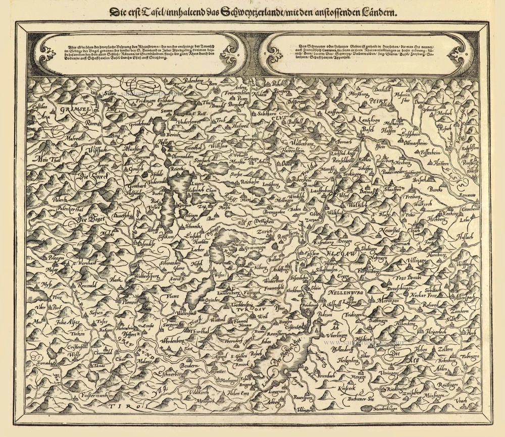
Die erst Tafel innhaltend das Schweytzerlandt mit den anstossenden Ländern. 1588
Switzerland by Sebastian Münster.
[Item number: 14631]

€250  ($262.5 / £207.5)
Switzerland by Sebastian Munster.

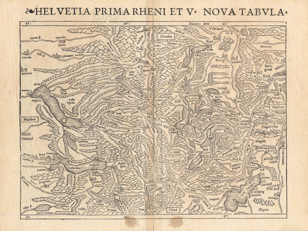
Helvetia Prima Rheni et V Nova Tabula. 1542
Switzerland by Sebastian Munster.
[Item number: 14925]

€300  ($315 / £249)
Switzerland, by Visscher N.

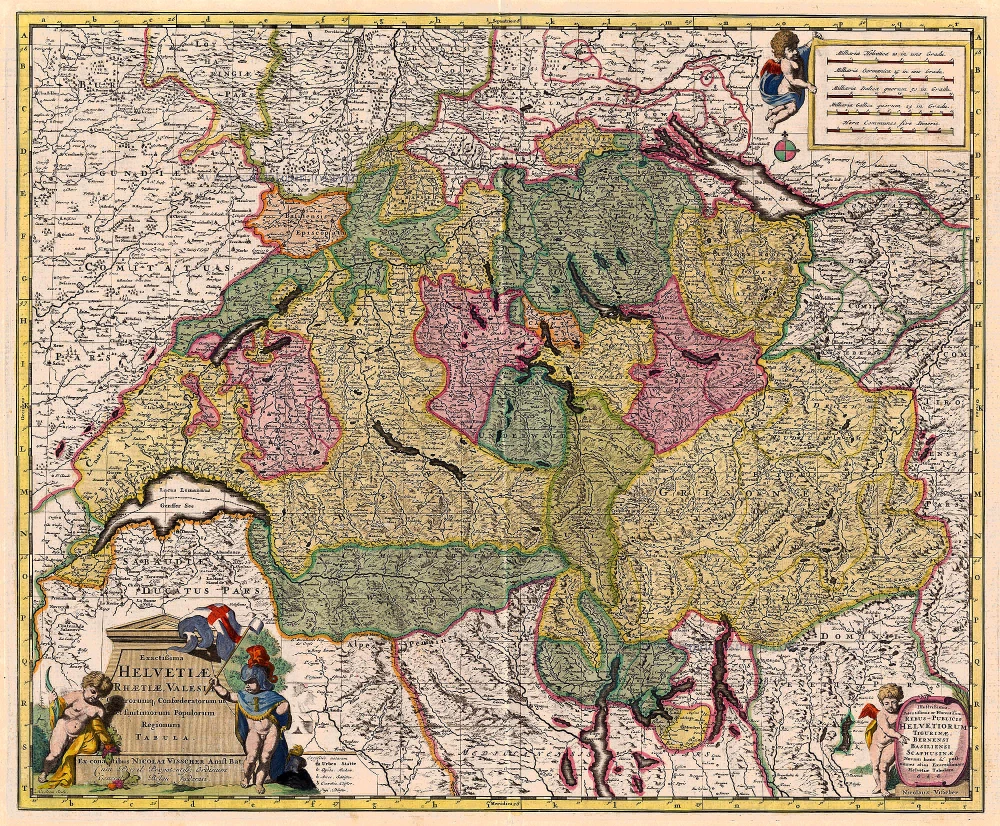
Exactissima Helvetiae Rhaetiae, Valesiae ... 1683-1696
Switzerland, by Visscher N.
[Item number: 18692]

€450  ($472.5 / £373.5)
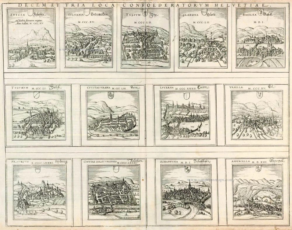
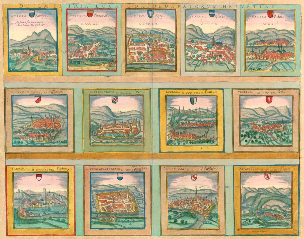
13 bird's-eye views of Swiss cities by Braun and Hogenberg: Schwyz, Unterwalden, Zug, Glarus, Basel, Zurich, Bern, Lucerne, Uri, Fribourg, Solothurn, Schaffhausen and Appenzell.

Decem et Tria Loca Confoederatorum Helvetiae. 1572
13 bird's-eye views of Swiss cities by Braun and Hogenberg: Schwyz, Unterwalden, Zug, Glarus, Basel, Zurich, Bern, Lucerne, Uri, Fribourg, Solothurn, Schaffhausen and Appenzell.
[Item number: 21654]

€650  ($682.5 / £539.5)
Switzerland, by Homann Heirs.

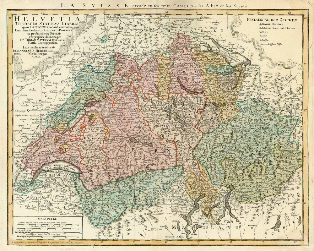
Helvetia Tredecim Statibus Liberis quos Cantones vocant Composita ... c. 1757.
Switzerland, by Homann Heirs.
[Item number: 22480]

€380  ($399 / £315.4)
Switzerland, by Ortelius A.

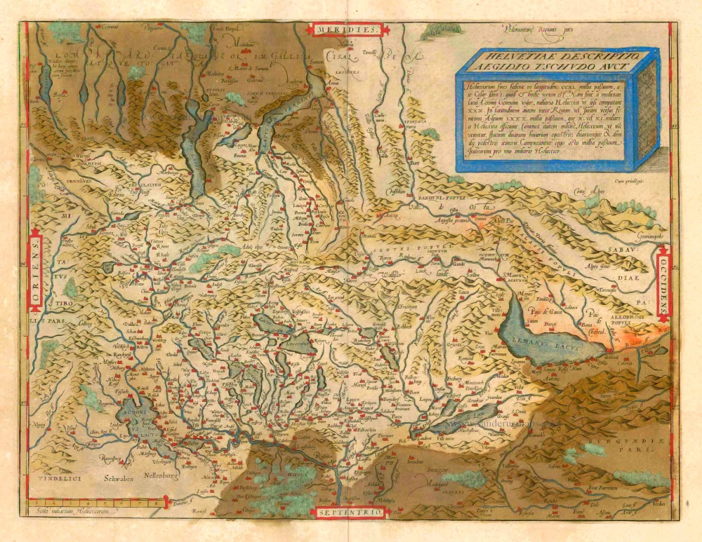
Helvetiae Descriptio Aegidio Tschudo Auct. 1612
Switzerland, by Ortelius A.
[Item number: 22945]

€480  ($504 / £398.4)
SWITZERLAND by Abraham Ortelius

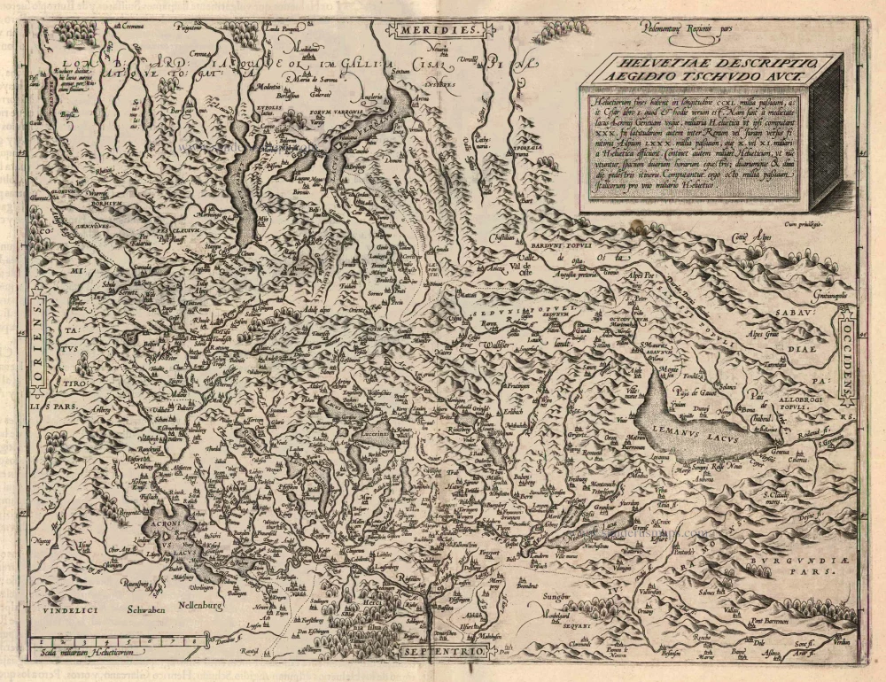
Helvetiae Descriptio Aegidio Tschudo Auct. 1579
SWITZERLAND by Abraham Ortelius
[Item number: 23164]

€320  ($336 / £265.6)
13 bird's-eye views of Swiss cities by Braun and Hogenberg: Schwyz, Unterwalden, Zug, Glarus, Basel, Zurich, Bern, Lucerne, Uri, Fribourg, Solothurn, Schaffhausen and Appenzell.

Decem et Tria Loca Confoederatorum Helvetiae. 1572-1624
13 bird's-eye views of Swiss cities by Braun and Hogenberg: Schwyz, Unterwalden, Zug, Glarus, Basel, Zurich, Bern, Lucerne, Uri, Fribourg, Solothurn, Schaffhausen and Appenzell.
[Item number: 23230]

€1000  ($1050 / £830)
Antique map of Switzerland by Ottens R. & J.

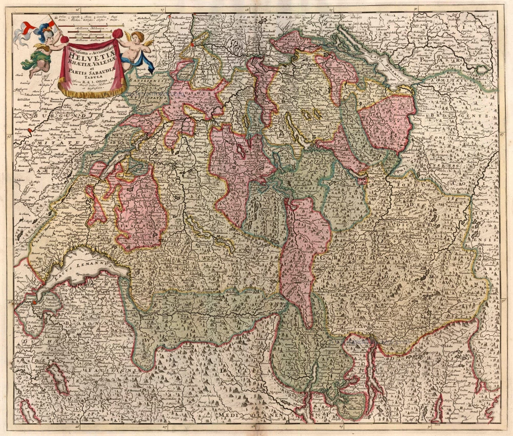
Novissima et Acuratissima Helvetiae, Rhaetiae, Valesiae et Partis Sabaudiae Tabula 1756
Antique map of Switzerland by Ottens R. & J.
[Item number: 23506]

€480  ($504 / £398.4)
Switzerland, by Sebastian Munster.

Nouvelle Description du Pais de Suysse. 1555
Switzerland, by Sebastian Munster.
[Item number: 25172]

€300  ($315 / £249)
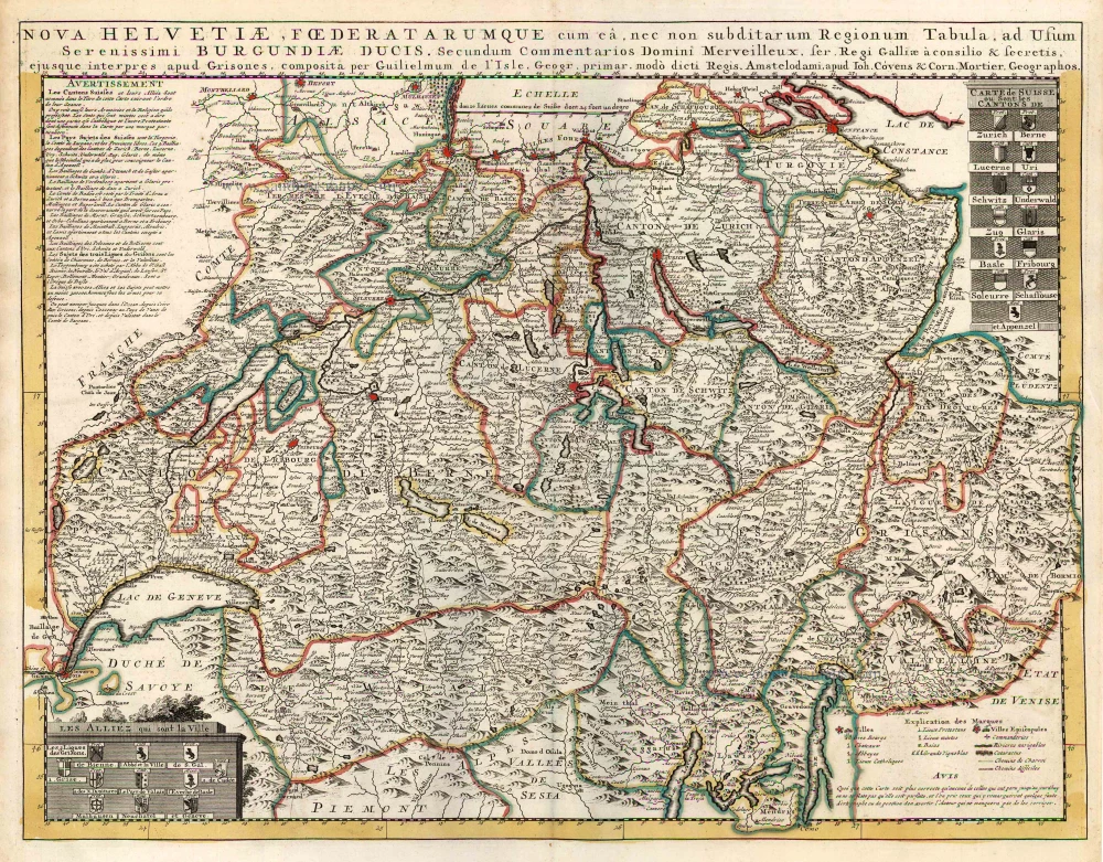
Switzerland by Guillaume Delisle, published by Covens & Mortier.

Nova Helvetiae, Foederatarumque cum ea, nec non Subditarum Regionum Tabula ... 1730
Switzerland by Guillaume Delisle, published by Covens & Mortier.
[Item number: 25699]

€450  ($472.5 / £373.5)
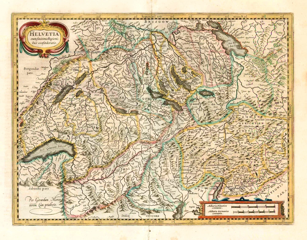
Switzerland, by Henricus Hondius

Helvetia cum finitimis regionibus confoederatis. 1641
Switzerland, by Henricus Hondius
[Item number: 26292]

€580  ($609 / £481.4)
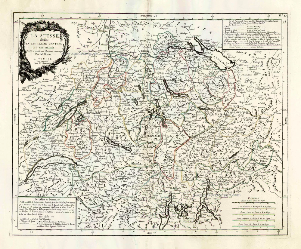
Switzerland, by Francesco Santini.

La Suisse Divisee en ses Treize Cantons et ses Allies. 1776-79
Switzerland, by Francesco Santini.
[Item number: 26957]

€320  ($336 / £265.6)
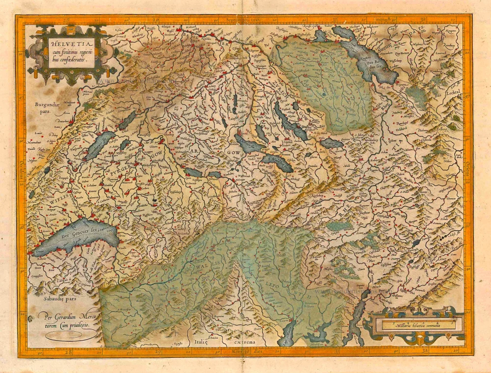
Switzerland, by Gerard Mercator.

Helvetia cum finitimis regionibus confoederatis. 1623
Switzerland, by Gerard Mercator.
[Item number: 27884]

€600  ($630 / £498)
Switzerland, by Jodocus Hondius.

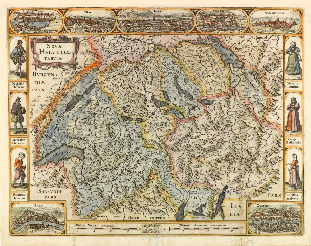
Nova Helvetiae Tabula. c. 1634
Switzerland, by Jodocus Hondius.
[Item number: 28003]

€1800  ($1890 / £1494)
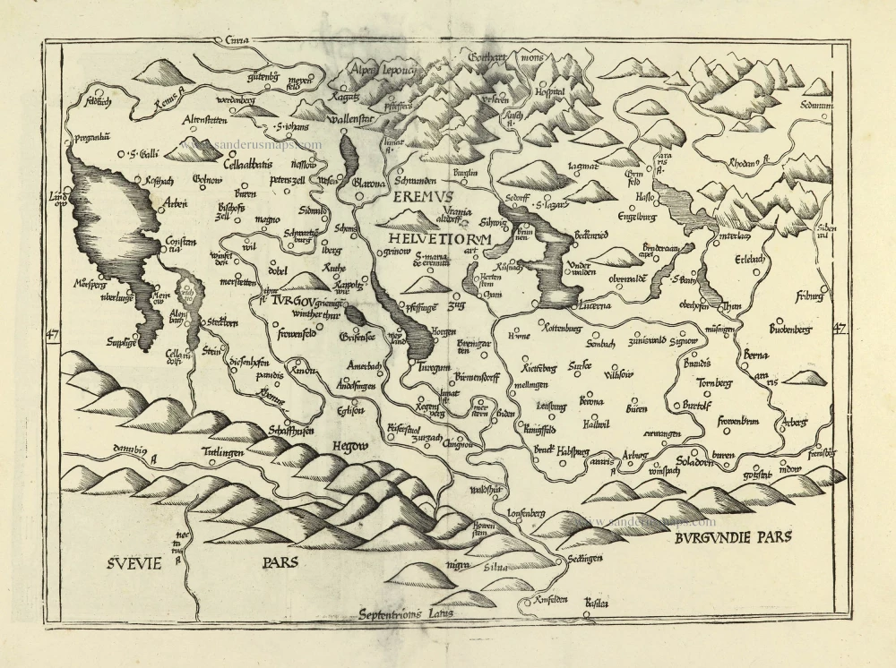
Switzerland by Lorenz Fries.

Ta . Here . Helve. [From verso] 1525
Switzerland by Lorenz Fries.
[Item number: 28199]

€750  ($787.5 / £622.5)
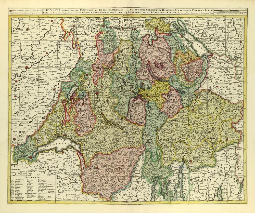
Switzerland by Gerard & Leonard Valck.

Helvetia Divisa in Tredicem Cantones sive Regiones, Bernam nempe Fruburgum, Solodurum, Basileam, Schafhusiam; Tigurum et Lucernam, cum foederatis Regionibus, numirum Comitatu Neoburgensi, urbe Biela, Resp. Genevensi Abbatia S. Galleni et Vallesia. c. 1702
Switzerland by Gerard & Leonard Valck.
[Item number: 28270]

€470  ($493.5 / £390.1)
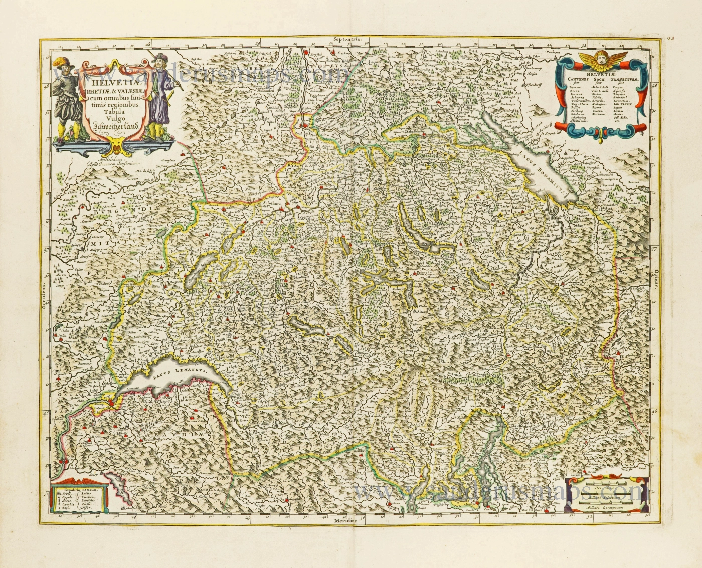
Switzerland by Johannes Janssonius.

Helvetiae Rhetiae & Valesiae cum omnibus finitimis regionibus Tabula Vulgo Schweitzerland. c. 1678
Switzerland by Johannes Janssonius.
[Item number: 28538]

€600  ($630 / £498)
Switzerlandx, by Zacharias Châtelain.

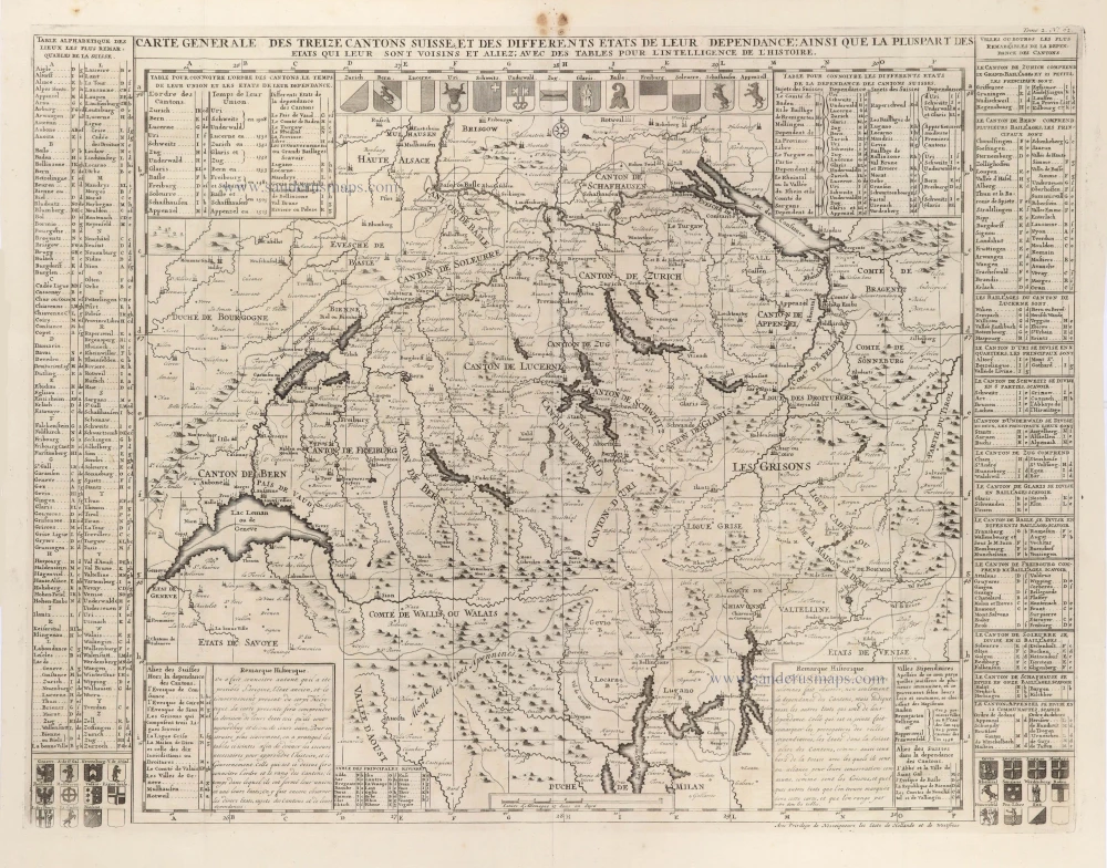
Carte Générale des treize Cantons Suisse, et des différents Etats de leur Dépendance; ainsi que la pluspart des Etats qui leur sont voisins et aliez; avec des tables pour l'intelligence de l'Histoire. 1708
Switzerlandx, by Zacharias Châtelain.
[Item number: 29444]

€200  ($210 / £166)
Switzerland by Hubert Jaillot, published by Pierre Mortier.

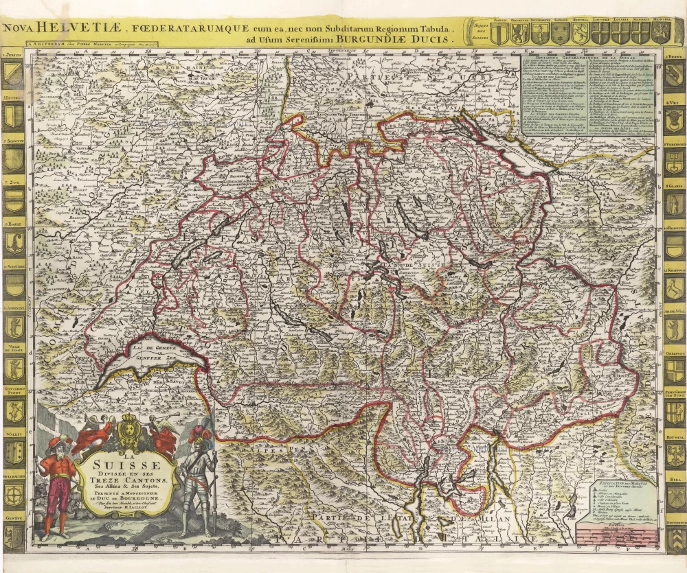
La Suisse divisée en ses Treze Cantons, Ses Alliez & Ses Sujets, c. 1709
Switzerland by Hubert Jaillot, published by Pierre Mortier.
[Item number: 29566]

€680  ($714 / £564.4)
Benedictine Abbey of Affligem, by Antonius Sanderus.

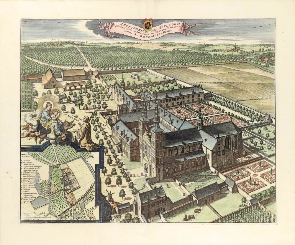
Affligenium Vulgo Affligem Primaria ac nobilissima in Ducatu Brabantiae, ordinis S. Benedicti Abbatia. 1726
Benedictine Abbey of Affligem, by Antonius Sanderus.
[Item number: 30779]

€450  ($472.5 / £373.5)
Switzerland by Melchior Tavernier.

Early Tavernier with an exclusive text beneath.
Charte de la Suisse, de la Rhetie, ou des Grisons, de la Valtelin, du Valay, c. 1630-1650
Switzerland by Melchior Tavernier.
[Item number: 30851]

€1150  ($1207.5 / £954.5)
Italian and Swiss Alps by C.J. Visscher, after Philipp Cluverius.

The first modern map of the Canton of Graubunden.
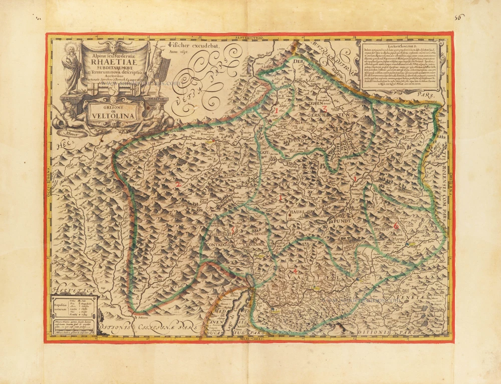
Alpinae seu foederatae Rhaetiae subdirarumque ei Terrarum nova descriptio. Grisons en Veltolina. 1630
Italian and Swiss Alps by C.J. Visscher, after Philipp Cluverius.
[Item number: 30936]

€1750  ($1837.5 / £1452.5)