
Scotland, by G. & L. Valck. c. 1700
The Valk Family
Gerard Valk (Valck) (1652-1726) was Amsterdam's publisher, engraver, art seller, and globemaker. He was trained under Abraham Bloteling, later becoming his assistant. The two moved to London, where Valk worked with various map and print sellers. He married Abraham's sister, Maria Bloteling, in London around 1673; in that city, his son and successor, Leonard, was born in 1675.
Not long after, Bloteling and Valk returned to Amsterdam, where Gerard Valk was registered as a burgher on December 8, 1679.
Around 1680 he began working with the German engraver Petrus Schenk as an engraver, publisher, map and print-sellers. They acquired the plates for the Janssonius Novus Atlas and Sanson's maps. Although they never shared premises, they worked closely together in the publications of editions of these works. Valk and his son Leonard are best known for their globemaking. In addition to globes newly compiled from the latest geographical and astronomical information, the Valk's published theoretical works on astronomy and globes.
In 1710, the family tie between the two partners, Valk and Schenk, became even closer when Gerard's son Leonard Valk (1675-1746) married Maria Schenk (1688-1770), Petrus' daughter.
After the death of Gerard in 1726, the business continued in the hands of his son Leonard and Gerard's widow Maria until she died in 1729, and then by Leonard until he died in 1746.
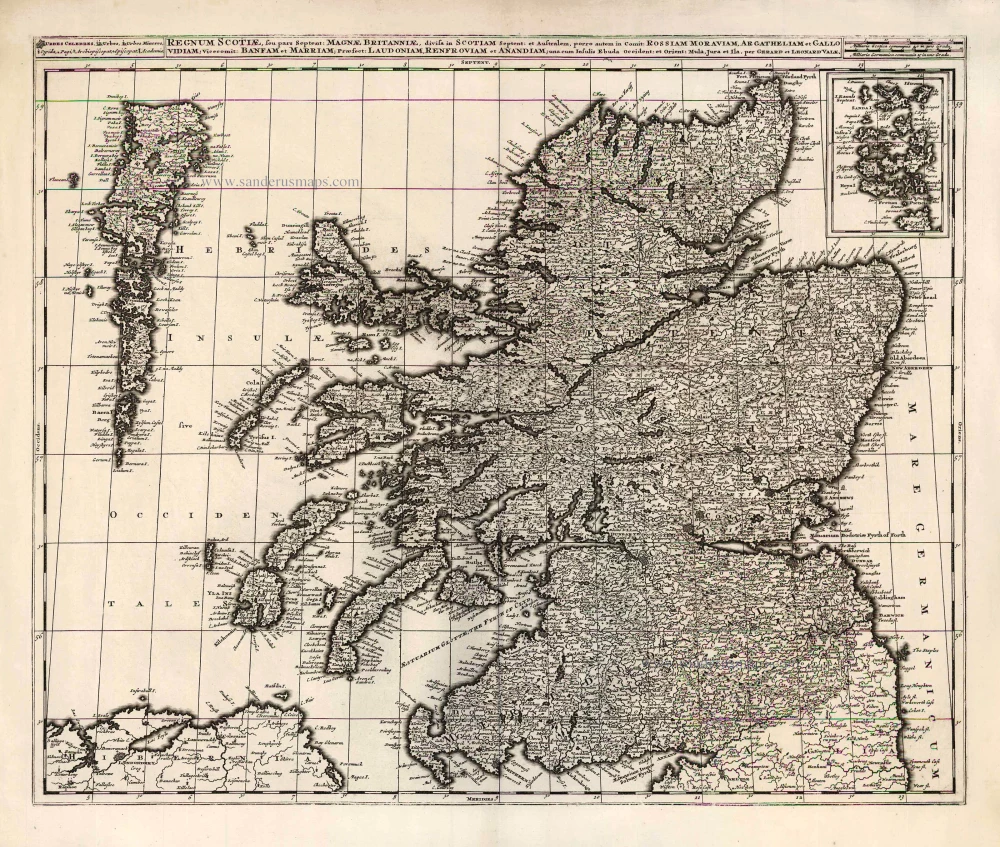
Regnum Scotiae, seu Pars Septent: Magnae Britanniae Divisa ...
Item Number: 26013 Authenticity Guarantee
Category: Antique maps > Europe > British Isles
Old antique map of Scotland by G. & L. Valck.
Title: Regnum Scotiae, seu Pars Septent: Magnae Britanniae Divisa ...
Date: c. 1700.
Copper engraving, printed on paper.
Size (not including margins): 490 x 595mm (19.29 x 23.43 inches).
Verso: Blank.
Condition: Excellent.
Condition Rating: A+.
From: Composite Atlas, c. 1700.
The Valk Family
Gerard Valk (Valck) (1652-1726) was Amsterdam's publisher, engraver, art seller, and globemaker. He was trained under Abraham Bloteling, later becoming his assistant. The two moved to London, where Valk worked with various map and print sellers. He married Abraham's sister, Maria Bloteling, in London around 1673; in that city, his son and successor, Leonard, was born in 1675.
Not long after, Bloteling and Valk returned to Amsterdam, where Gerard Valk was registered as a burgher on December 8, 1679.
Around 1680 he began working with the German engraver Petrus Schenk as an engraver, publisher, map and print-sellers. They acquired the plates for the Janssonius Novus Atlas and Sanson's maps. Although they never shared premises, they worked closely together in the publications of editions of these works. Valk and his son Leonard are best known for their globemaking. In addition to globes newly compiled from the latest geographical and astronomical information, the Valk's published theoretical works on astronomy and globes.
In 1710, the family tie between the two partners, Valk and Schenk, became even closer when Gerard's son Leonard Valk (1675-1746) married Maria Schenk (1688-1770), Petrus' daughter.
After the death of Gerard in 1726, the business continued in the hands of his son Leonard and Gerard's widow Maria until she died in 1729, and then by Leonard until he died in 1746.
Related items
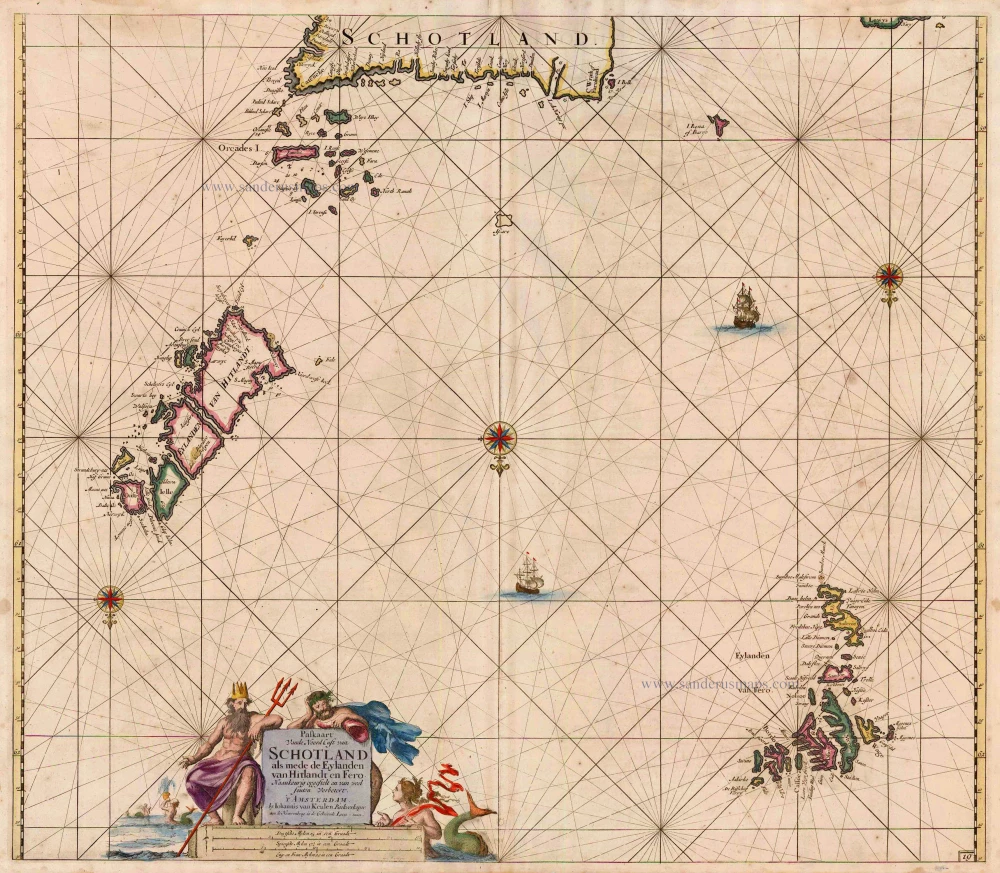
Paskaart vande Noord Cust van Schotland als mede de Eylanden van Hitlandt en Fero 1697-1709
Northern Scotland, by Van Keulen Johannes.
[Item number: 5399]

Pascaert, vande Westkust van Schotlant, als mede een Gedeelte vande Lewys Eylanden, van S. Patricius tot Nary, Nog t' I. Roda ofte Barre en t' I. S. Kilda ... 1697-1709
Scotland, with Lewis Island, by J. Van Keulen. Sea chart.
[Item number: 12461]
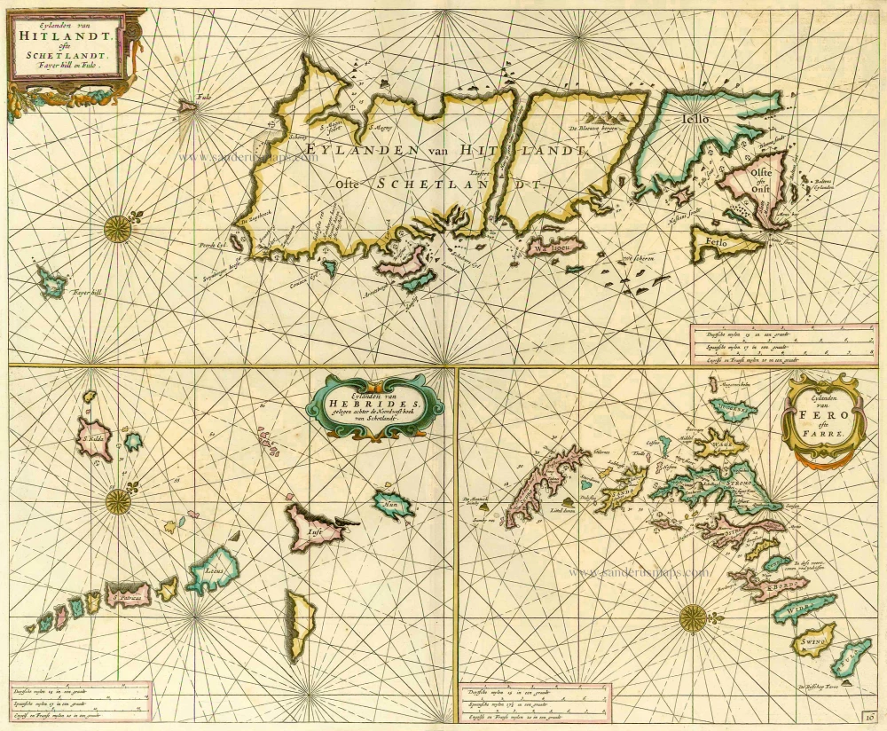
Eylanden van Hitlandt, ofte Schetlant, Fayer Hill en Fulo. [on sheet with] Eylanden van Hebrides ... [and] Eylanden van Fero ofte Farre 1686
Scotland (Islands) - Shetlands - Faroes, by Doncker H.
[Item number: 13695]
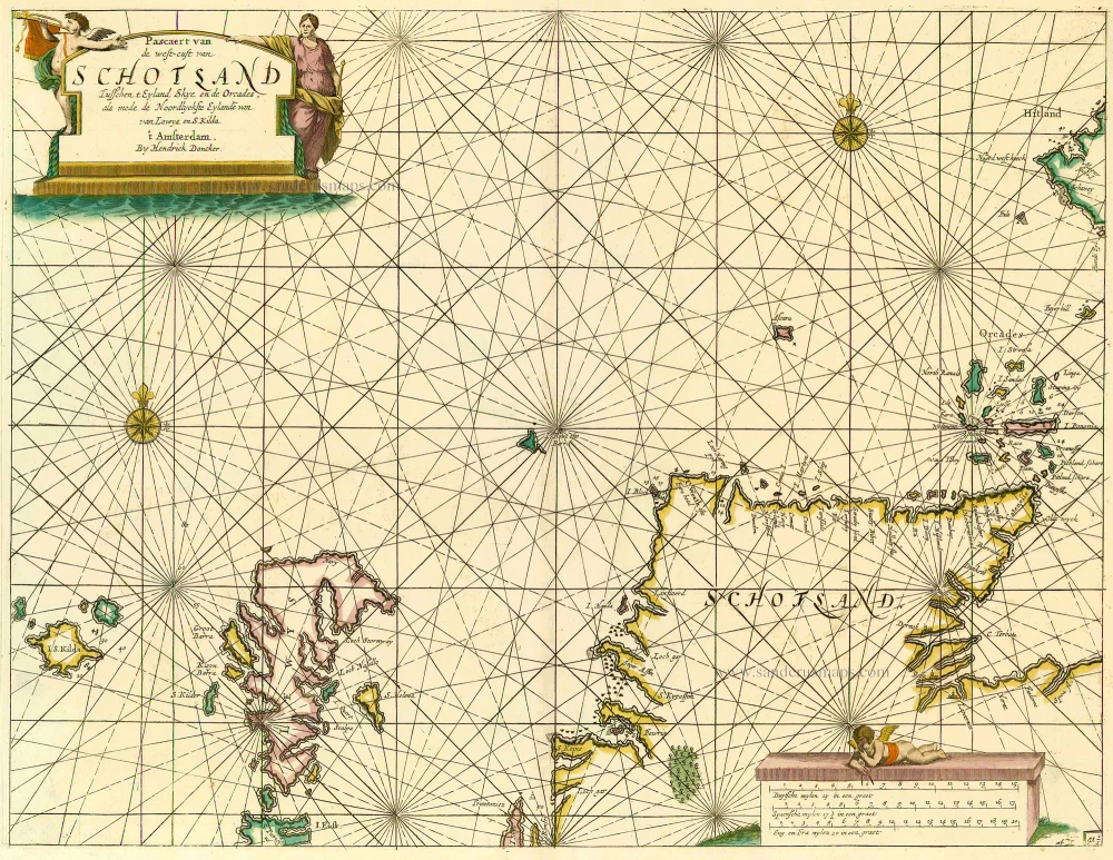
Pascaert van de Westcust van Schotland Tusschen t Eyland Kye en de Orcades, als mede de Noordlyckste Eylande van Lewys en S. Kilda. 1686
Scotland, by Doncker H.
[Item number: 13737]
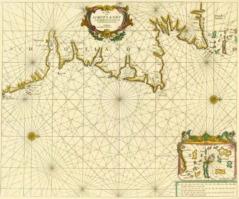
De Custen van Schotlandt en de Eylanden van Orcanese, van 't eylandt Coket tot I. Sande. 1686
Scotland and Orkney Islands, by Doncker H.
[Item number: 15386]

Scotia. 1618
Scotland, by Petrus Bertius.
[Item number: 18211]
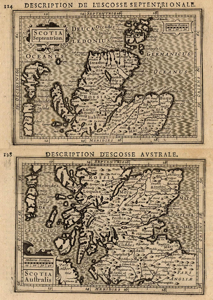
Scotia Septentrion [in set with] Scotia Australis. 1618
Scotland (North and South), by Petrus Bertius.
[Item number: 18212]
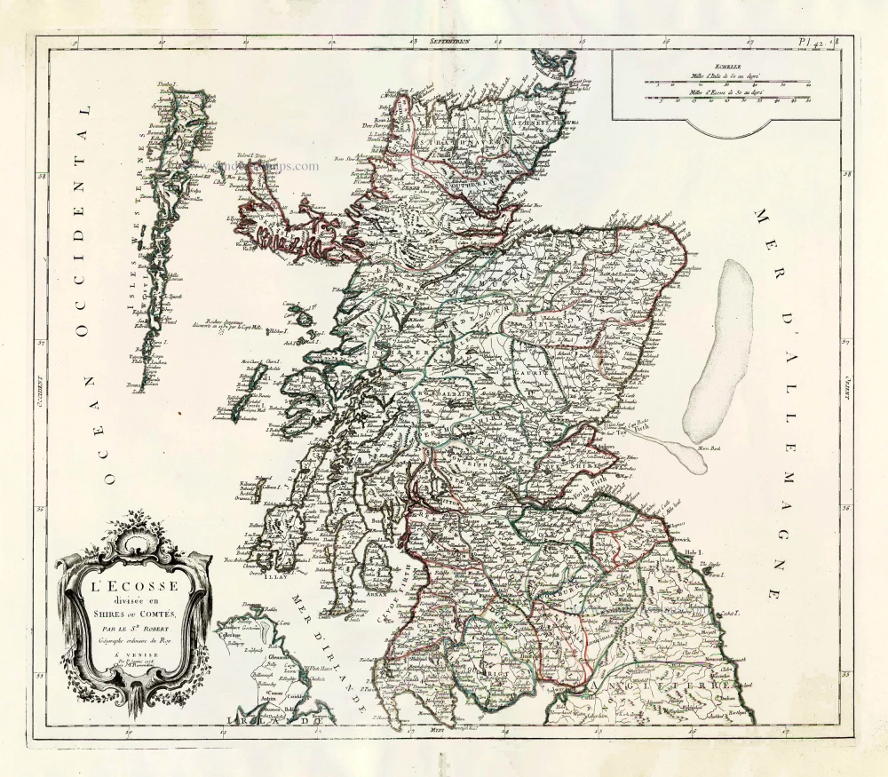
L'Ecosse Divisée en Shires ou Comtés. 1776-79
Scotland, by Francesco Santini.
[Item number: 26961]

Scotia Regnum divisum in Partem Septentrionalem et Meridionalem. After 1721
Scotland by Frederik de Wit, published by Covens & Mortier.
[Item number: 28242]
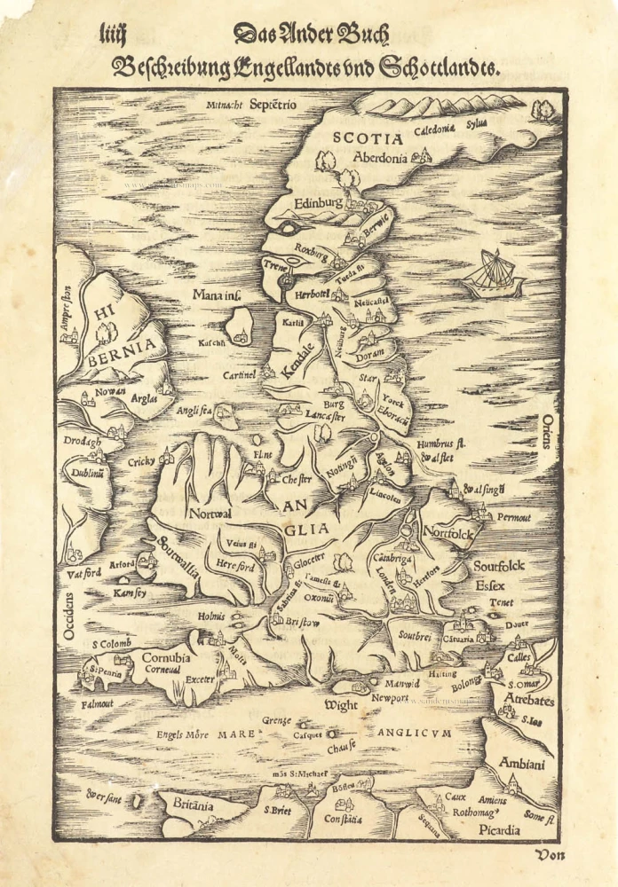
Beschreibung Engellandts und Schottlandts. 1578
Great Brittain by Sebastian Münster.
[Item number: 29468]
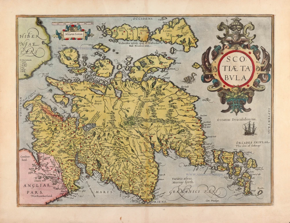
Scotiae Tabula. 1584
Scotland by Abraham Ortelius
[Item number: 30325]