
Northern Africa by Melchior Tavernier, published for Nicolas Sanson. 1640

Nicolas Sanson (1600-1667) - Guillaume Sanson (1633-1703)
Originally from Abbeville, Nicolas I Sanson showed a keen interest in historical geography. Still very young, he published a map of ancient Gaul and two treatises, Britannia and Portus Itius on Abbeville and Boulogne's origins. His meeting with Melchior Tavernier was decisive: it prompted him to give up his duties as a military engineer in Picardy and devote himself to engraved cartography.
At the same time, Sanson had drawn up the outline of modern France. He got the help of Tavernier who encouraged him to compete with the Dutch map publishers. Tavernier contacted other French cartographers whose works he published.
From 1643, N. Sanson obtained a privilege to publish a work personally, the Princes souverains de l'Italie. Then, in 1644 and 1645, he had his famous geographical tables printed, which significantly contributed to his fame. He also published a series of atlases in quarto of the four continents.
In 1648, N. Sanson associated himself with Mariette for the publishing of atlases. From then on, certain maps bore his name, and others Mariette's. N. Sanson and Mariette worked together for more than 20 years. After the death of N. Sanson, Mariette acquired the entire fund. Since Mariette only wanted to publish complete atlases, individual maps were no longer sold, and some army generals complained to the king.
The disagreement between the Sanson family and Pierre II Mariette culminated in 1671 when Guillaume Sanson took the case to court. From then on, there was no longer any question of collaboration: Guillaume Sanson started working for another publisher, Alexis-Hubert Jaillot.
The Sanson family faced financial difficulties, and in 1692, their cousin, Pierre Moullart-Sanson, bought the entire geographic fund from his uncles and aunt. Moullart-Sanson restarted the publishing of Sanson's world atlas, and in 1704 he acquired a privilege for publishing all the works of Nicolas and Guillaume Sanson, which continued to be published until 1730.
Melchior Tavernier I the elder (1564-1641)
'Graveur et imprimeur ordinaire du Roy', brother of Gabriel.
Gabriel Tavernier (1566-1610)
Flemish engraver.
Melchior Tavernier II the younger (1594-1665)
Son of Gabriel. Engraver, mapseller and publisher 'dans l'Isle du Palais à la Sphère Royale', Paris. He sold most of his plates and equipment to Pierre Mariette in 1644.
Jean Baptiste Tavernier (1605-1789)
Brother of Melchior. Began as a bookseller 'sur le quai de l'Horloge aux Trois Estoiles' à Paris. Became later a merchant, diplomat and traveller in Turkey, Persia, central Asia and the East Indies.
Antiquorum Africae Episcopatuum Geographice Descriptio.
Item Number: 30001 Authenticity Guarantee
Category: Antique maps > Africa
Old, antique map of Northern Africa by Melchior Tavernier, published for Nicolas Sanson.
Title: Antiquorum Africae Episcopatuum Geographice Descriptio.
Parissis Aput M. Tavernier Scalptorem Regium & Excusorem Tabularum Geographicarum Hydrographicarum in Insula Palatij ad insigne Spaerae Regio Anno 1640
Cum Privilegio Regis.
Date: c. 1668.
Date on map: 1640.
Copper engraving, printed on paper.
Image size: 370 x 510mm (14.57 x 20.08 inches).
Sheet size: 490 x 645mm (19.29 x 25.39 inches).
Verso: Blank.
Condition: Original coloured in outline, excellent.
Condition Rating: A+.
From: Sanson Composite Atlas, c. 1668.
Nicolas Sanson (1600-1667) - Guillaume Sanson (1633-1703)
Originally from Abbeville, Nicolas I Sanson showed a keen interest in historical geography. Still very young, he published a map of ancient Gaul and two treatises, Britannia and Portus Itius on Abbeville and Boulogne's origins. His meeting with Melchior Tavernier was decisive: it prompted him to give up his duties as a military engineer in Picardy and devote himself to engraved cartography.
At the same time, Sanson had drawn up the outline of modern France. He got the help of Tavernier who encouraged him to compete with the Dutch map publishers. Tavernier contacted other French cartographers whose works he published.
From 1643, N. Sanson obtained a privilege to publish a work personally, the Princes souverains de l'Italie. Then, in 1644 and 1645, he had his famous geographical tables printed, which significantly contributed to his fame. He also published a series of atlases in quarto of the four continents.
In 1648, N. Sanson associated himself with Mariette for the publishing of atlases. From then on, certain maps bore his name, and others Mariette's. N. Sanson and Mariette worked together for more than 20 years. After the death of N. Sanson, Mariette acquired the entire fund. Since Mariette only wanted to publish complete atlases, individual maps were no longer sold, and some army generals complained to the king.
The disagreement between the Sanson family and Pierre II Mariette culminated in 1671 when Guillaume Sanson took the case to court. From then on, there was no longer any question of collaboration: Guillaume Sanson started working for another publisher, Alexis-Hubert Jaillot.
The Sanson family faced financial difficulties, and in 1692, their cousin, Pierre Moullart-Sanson, bought the entire geographic fund from his uncles and aunt. Moullart-Sanson restarted the publishing of Sanson's world atlas, and in 1704 he acquired a privilege for publishing all the works of Nicolas and Guillaume Sanson, which continued to be published until 1730.
Melchior Tavernier I the elder (1564-1641)
'Graveur et imprimeur ordinaire du Roy', brother of Gabriel.
Gabriel Tavernier (1566-1610)
Flemish engraver.
Melchior Tavernier II the younger (1594-1665)
Son of Gabriel. Engraver, mapseller and publisher 'dans l'Isle du Palais à la Sphère Royale', Paris. He sold most of his plates and equipment to Pierre Mariette in 1644.
Jean Baptiste Tavernier (1605-1789)
Brother of Melchior. Began as a bookseller 'sur le quai de l'Horloge aux Trois Estoiles' à Paris. Became later a merchant, diplomat and traveller in Turkey, Persia, central Asia and the East Indies.
Related items

Africae Propriae Tabula. 1624
Ancient Northern Africa, by Ortelius A.
[Item number: 2053]

Barbaria 1613-16
Northern Africa by J. Hondius
[Item number: 13746]

Africae Propriae Tabula .. 1645-58
Northern Africa, by Janssonius J.
[Item number: 19443]

Barbarien tusschen C. de Tenes en C. de Rosa. t' Amsterdam, By Hendrick Doncker. 1664
Northern Africa, by Doncker H.
[Item number: 21375]

Barbariae et Biledulgerid, Nova Descriptio. 1601
Northern Africa, by A. Ortelius.
[Item number: 22524]

Barbaria 1662
Northern Africa, by Blaeu J.
[Item number: 22814]

Nouvelle Carte du Roiaume d'Alger, divisée en toutes ses provinces, avec une partie du Côtes d'Espagne &c. 1756
Northern Africa - Algeria (Algiers) by Ottens R. & J.
[Item number: 23495]

Barbaria c. 1680
Northern Africa, by F. de Wit.
[Item number: 24490]

Barbarie, Biledulgerid, (autrefois Libye) et une partie du Pays des Negres. 1713
Northern Africa (Barbary), by Pieter van der Aa.
[Item number: 26154]

Tabula nova partis Africae. 1525
Northern Africa by Lorenz Fries
[Item number: 27946]

Ptolemaic map of the African continent
[Title on verso:] Tabula .IIII. Aphricae. 1525
Africa, by Lorenz Fries,
[Item number: 27976]
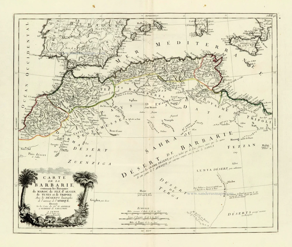
Carte de la Barbarie, contenant les Royaumes de Maroc, de Fez, d'Alger, de Tunis et de Tripoli, Avec les Déserts limitrophes de l'intérieur de l'Afrique. 1776-79
Northern Africa, by Francesco Santini.
[Item number: 28098]

Nova Barbariae Descriptio. 1657
Northern Africa by Joannes Janssonius.
[Item number: 28219]

AFR. II. TAB. 1605
Northern Africa by Claudius Ptolemy, published by Jodocus Hondius.
[Item number: 28884]

Barbariae et Biledulgerid, Nova Descriptio. 1584
Northern Africa, by Abraham Ortelius.
[Item number: 29356]

Tabula Aphricae III. 1545
Northern Africa by Sebastian Münster.
[Item number: 30293]

Barbaria. 1618
Northern Africa by Petrus Bertius, published by Jodocus Hondius II.
[Item number: 32067]