
Northern Africa by Petrus Bertius, published by Jodocus Hondius II. 1618

Petrus Bertius (1565-1629)
Petrus Bertius, born at Beveren, Flanders, in 1565, was related to Pieter van den Keere (Kaerius) and Jodocus Hondius. Both famous cartographers were brothers-in-law of Petrus Bertius. As a refugee, he settled in Amsterdam, and after finishing his studies, he became a professor of mathematics and librarian at the University of Leiden. In 1618, he became a cosmographer and historiographer for Louis XIII of France. He lived in Paris, where he died in 1629.
Petrus Bertius's remarkable work ethic is evident in the numerous geographical and theological works he produced. His contributions to the works of Clüver and Herrera further solidified his reputation in geography.
His fame among geographers was established by his text in the pocket atlas Tabularum Geographicarum and by his edition of Ptolemy’s Geographia.
The origin of the Tabularum Geographicum lies in the well-known miniature atlas Caert thresoor, published by Barent Langenes in 1598 in Middelburg. Bertius engraved 169 maps for this small but attractive atlas, sold for the first time in 1599 by Cornelis Claesz in Amsterdam. In 1600, Claesz published the pocket atlas with a Latin text composed by Petrus Bertius. From then on, new editions, often enlarged with new maps, regularly appeared, subsequently published by Cornelis Claesz, Jodocus Hondius, Johannes Janssonius and ultimately, in 1649, by Claes Jansz. Visscher.
Koeman divides this series of pocketbooks into two atlases: The Caert-thresoor, published by Langenes and Claesz., with five editions between 1598 and 1609, and the Tabularum Geographicarum Contractarum by Petrus Bertius with ten editions between 1600 and 1650.
Barbaria.
Item Number: 32067 Authenticity Guarantee
Category: Antique maps > Africa
Northern Africa by Petrus Bertius, published by Jodocus Hondius II.
Title: Barbaria.
Date of the first edition: 1616.
Date of this map: 1618.
Copper engraving, printed on paper.
Image size: 95 x 135mm (3¾ x 5¼ inches).
Sheet size: 120 x 185mm (4¾ x 7¼ inches).
Verso: French text.
Condition: Excellent.
Condition Rating: A+.
From: Bertius P. La Geographie Racourcie de Pierre Bertius. Amsterdam, Jodocus Hondius jr. 1618. (Van der Krogt 3, 342:11)
Petrus Bertius (1565-1629)
Petrus Bertius, born at Beveren, Flanders, in 1565, was related to Pieter van den Keere (Kaerius) and Jodocus Hondius. Both famous cartographers were brothers-in-law of Petrus Bertius. As a refugee, he settled in Amsterdam, and after finishing his studies, he became a professor of mathematics and librarian at the University of Leiden. In 1618, he became a cosmographer and historiographer for Louis XIII of France. He lived in Paris, where he died in 1629.
Petrus Bertius's remarkable work ethic is evident in the numerous geographical and theological works he produced. His contributions to the works of Clüver and Herrera further solidified his reputation in geography.
His fame among geographers was established by his text in the pocket atlas Tabularum Geographicarum and by his edition of Ptolemy’s Geographia.
The origin of the Tabularum Geographicum lies in the well-known miniature atlas Caert thresoor, published by Barent Langenes in 1598 in Middelburg. Bertius engraved 169 maps for this small but attractive atlas, sold for the first time in 1599 by Cornelis Claesz in Amsterdam. In 1600, Claesz published the pocket atlas with a Latin text composed by Petrus Bertius. From then on, new editions, often enlarged with new maps, regularly appeared, subsequently published by Cornelis Claesz, Jodocus Hondius, Johannes Janssonius and ultimately, in 1649, by Claes Jansz. Visscher.
Koeman divides this series of pocketbooks into two atlases: The Caert-thresoor, published by Langenes and Claesz., with five editions between 1598 and 1609, and the Tabularum Geographicarum Contractarum by Petrus Bertius with ten editions between 1600 and 1650.
Related items

Africae Propriae Tabula. 1624
Ancient Northern Africa, by Ortelius A.
[Item number: 2053]

Barbaria 1613-16
Northern Africa by J. Hondius
[Item number: 13746]

Africae Propriae Tabula .. 1645-58
Northern Africa, by Janssonius J.
[Item number: 19443]

Barbarien tusschen C. de Tenes en C. de Rosa. t' Amsterdam, By Hendrick Doncker. 1664
Northern Africa, by Doncker H.
[Item number: 21375]

Barbariae et Biledulgerid, Nova Descriptio. 1601
Northern Africa, by A. Ortelius.
[Item number: 22524]

Barbaria 1662
Northern Africa, by Blaeu J.
[Item number: 22814]

Nouvelle Carte du Roiaume d'Alger, divisée en toutes ses provinces, avec une partie du Côtes d'Espagne &c. 1756
Northern Africa - Algeria (Algiers) by Ottens R. & J.
[Item number: 23495]

Barbaria c. 1680
Northern Africa, by F. de Wit.
[Item number: 24490]

Barbarie, Biledulgerid, (autrefois Libye) et une partie du Pays des Negres. 1713
Northern Africa (Barbary), by Pieter van der Aa.
[Item number: 26154]

Tabula nova partis Africae. 1525
Northern Africa by Lorenz Fries
[Item number: 27946]

Ptolemaic map of the African continent
[Title on verso:] Tabula .IIII. Aphricae. 1525
Africa, by Lorenz Fries,
[Item number: 27976]
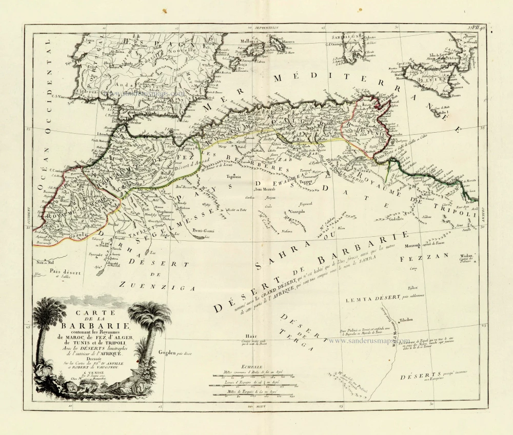
Carte de la Barbarie, contenant les Royaumes de Maroc, de Fez, d'Alger, de Tunis et de Tripoli, Avec les Déserts limitrophes de l'intérieur de l'Afrique. 1776-79
Northern Africa, by Francesco Santini.
[Item number: 28098]

Nova Barbariae Descriptio. 1657
Northern Africa by Joannes Janssonius.
[Item number: 28219]

AFR. II. TAB. 1605
Northern Africa by Claudius Ptolemy, published by Jodocus Hondius.
[Item number: 28884]

Parergon map
Africae Propriae Tabula, In qua, Punica regna vides; Tyrios, et Agenoris urbem. 1609
Abraham Ortelius, Ancient Northern Africa.
[Item number: 29348]

Barbariae et Biledulgerid, Nova Descriptio. 1584
Northern Africa, by Abraham Ortelius.
[Item number: 29356]

Antiquorum Africae Episcopatuum Geographice Descriptio. 1640
Northern Africa by Melchior Tavernier, published for Nicolas Sanson.
[Item number: 30001]

Tabula Aphricae III. 1545
Northern Africa by Sebastian Münster.
[Item number: 30293]