
Northeast by Cornelis van Wytfliet 1607
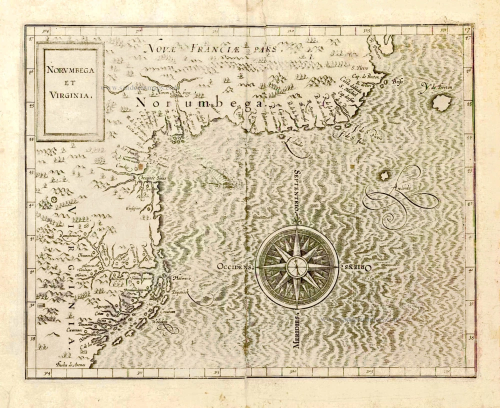
In 1597 Cornelis van Wytfliet published his Augmentum to Ptolemy's Geography. This is true as much as it covers all of the Americas, a part of the world unknown to the latter; however, no other connection exists between them. Dedicated to Philip III of Spain, it is a history of the New World to date, recording its discovery, natural history etc. For the book, Wytfliet had engraved nineteen maps, by whom we do not know, one of the world and eighteen regional maps of the Americas. Of these, the following eight maps all relate to the continent's north. As such, this book can be truly called the first atlas of America. It was an immediate success and ran to several editions.
This map is depicted a period just before a number of English voyages to explore and settle the coast. Along with the Dutch voyages, this would help chart one of the last remaining poorly known coastal parts of the Atlantic, between Virginia and Nova Scotia. No Long Island or Hudson River are shown. Because of the already notoriously dangerous Carolina Outer Banks and the rocky waters around New England and Cape Cod, a wide berth and direct course were often taken, which kept vessels well away from these waters.
This was the most accurate map of the coast until de Laet, 1630, and only the second to use Virginia in the title (de Bry-White, 1590). One of the main inaccuracies of the map is that the middle Atlantic coast is placed some 4° to 6° too far north, resulting in Chesipooc Sinus (Chesapeake Bay) being placed at the same latitude as present-day southern Maine. This error was first seen in Cornelis de Jode's America Pars Borealis, 1593. but the seeds were sown earlier. C. de las arenas, depicted on a number of earlier maps often by another name, most probably represents Cape Hatteras. It had always been given a latitude of about 38° to 40° dating as far as Giacomo Gastaldi's Tierra Nueva, 1548; here it is placed even further north when it is in reality 35°. When Richard Hakluyt 1587 placed Virginia on his map, it was correctly above this point. In 1590 Theodore de Bry published John White's map of Virginia (noticeably without latitudinal markings); that more detailed information was placed above the inaccurate but longer-lived Cape Arenas by De Jode. This pushed the entire coastline above further northwards adding to the confusion.
NORUMBEGA, used as first to delineate a large area and a mythical city, later came to be seen to represent the area of Penobscot River in present day Maine. In the early 1600s Samuel de Champlain set out to find it, unsuccessfully, and it was eventually dropped from use. Cape Breton is here shown out in the Atlantic on its own. (Burden)
Cornelius Wytfliet (? – 1597)
Cornelius Wytfliet was a geographer from Leuven. After graduating with a Licentiate in Laws from the University of Leuven, Wytfliet moved to Brussels and became secretary to the Council of Brabant.
In 1597, he published the first atlas of America: the Descriptionis Ptolemaicae Augmentum (Augmentation to Ptolemy’s description). He named his work an augmentation of Ptolemy’s Geography because it covers the Americas, a part of the world unknown to Ptolemy. However, there is no other connection between the works of Ptolemy and Van Wytfliet. Dedicated to Philip III of Spain, it is a history of the New World to date, recording its discovery, natural history, etc. It provides a history of exploration and the voyages of Christopher Columbus (1492-1502), John Cabot (1497-98), Sebastian Cabot (1526-28), Francisco Pizarro (1527-35), Giovanni de Verazzano (1524), Jacques Cartier (1540-42), and Martin Frobisher (1576-78). Most of Van Wytfliet’s maps are the first or among the earliest of specific regions of North and South America.
For the book, Wytfliet had engraved nineteen maps, one of the world and eighteen regional maps of the Americas. The book was an immediate success and ran to several editions.
Two editions of the Descriptionis Ptolemaicae were published at Leuven in 1597 and 1598, and in 1603, the first Douai edition appeared, with later editions with French text. The last edition was published in Arnhem in 1615.
Norumbega et Virginia.
Item Number: 26497 Authenticity Guarantee
Category: Antique maps > America > North America
Old, antique map of Northeast North America, by C. van Wytfliet.
Date of the first edition: 1597
Date of this map: 1607
Copper engraving, printed on paper.
Size (not including margins): 23 x 29.5cm (9 x 11.5 inches)
Verso: Blank
Condition: Two small tears reinforced.
Condition Rating: B
References: Van der Krogt 3, 9200:371.2; Burden, 103, State 2.
From: Histoire Universelle des Indes Occidentales. Douai, Françoes Fabri, 1607. (Van der Krogt 3, 371:12)
In 1597 Cornelis van Wytfliet published his Augmentum to Ptolemy's Geography. This is true as much as it covers all of the Americas, a part of the world unknown to the latter; however, no other connection exists between them. Dedicated to Philip III of Spain, it is a history of the New World to date, recording its discovery, natural history etc. For the book, Wytfliet had engraved nineteen maps, by whom we do not know, one of the world and eighteen regional maps of the Americas. Of these, the following eight maps all relate to the continent's north. As such, this book can be truly called the first atlas of America. It was an immediate success and ran to several editions.
This map is depicted a period just before a number of English voyages to explore and settle the coast. Along with the Dutch voyages, this would help chart one of the last remaining poorly known coastal parts of the Atlantic, between Virginia and Nova Scotia. No Long Island or Hudson River are shown. Because of the already notoriously dangerous Carolina Outer Banks and the rocky waters around New England and Cape Cod, a wide berth and direct course were often taken, which kept vessels well away from these waters.
This was the most accurate map of the coast until de Laet, 1630, and only the second to use Virginia in the title (de Bry-White, 1590). One of the main inaccuracies of the map is that the middle Atlantic coast is placed some 4° to 6° too far north, resulting in Chesipooc Sinus (Chesapeake Bay) being placed at the same latitude as present-day southern Maine. This error was first seen in Cornelis de Jode's America Pars Borealis, 1593. but the seeds were sown earlier. C. de las arenas, depicted on a number of earlier maps often by another name, most probably represents Cape Hatteras. It had always been given a latitude of about 38° to 40° dating as far as Giacomo Gastaldi's Tierra Nueva, 1548; here it is placed even further north when it is in reality 35°. When Richard Hakluyt 1587 placed Virginia on his map, it was correctly above this point. In 1590 Theodore de Bry published John White's map of Virginia (noticeably without latitudinal markings); that more detailed information was placed above the inaccurate but longer-lived Cape Arenas by De Jode. This pushed the entire coastline above further northwards adding to the confusion.
NORUMBEGA, used as first to delineate a large area and a mythical city, later came to be seen to represent the area of Penobscot River in present day Maine. In the early 1600s Samuel de Champlain set out to find it, unsuccessfully, and it was eventually dropped from use. Cape Breton is here shown out in the Atlantic on its own. (Burden)
Cornelius Wytfliet (? – 1597)
Cornelius Wytfliet was a geographer from Leuven. After graduating with a Licentiate in Laws from the University of Leuven, Wytfliet moved to Brussels and became secretary to the Council of Brabant.
In 1597, he published the first atlas of America: the Descriptionis Ptolemaicae Augmentum (Augmentation to Ptolemy’s description). He named his work an augmentation of Ptolemy’s Geography because it covers the Americas, a part of the world unknown to Ptolemy. However, there is no other connection between the works of Ptolemy and Van Wytfliet. Dedicated to Philip III of Spain, it is a history of the New World to date, recording its discovery, natural history, etc. It provides a history of exploration and the voyages of Christopher Columbus (1492-1502), John Cabot (1497-98), Sebastian Cabot (1526-28), Francisco Pizarro (1527-35), Giovanni de Verazzano (1524), Jacques Cartier (1540-42), and Martin Frobisher (1576-78). Most of Van Wytfliet’s maps are the first or among the earliest of specific regions of North and South America.
For the book, Wytfliet had engraved nineteen maps, one of the world and eighteen regional maps of the Americas. The book was an immediate success and ran to several editions.
Two editions of the Descriptionis Ptolemaicae were published at Leuven in 1597 and 1598, and in 1603, the first Douai edition appeared, with later editions with French text. The last edition was published in Arnhem in 1615.
Related items
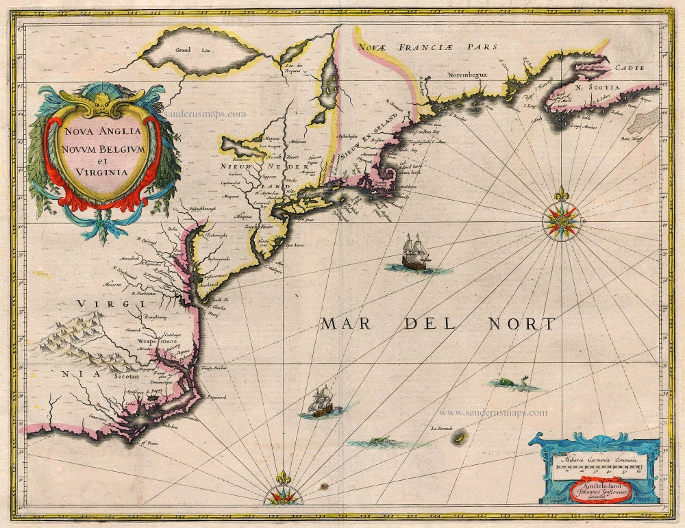
Nova Anglia Novum Belgium et Virginia 1638
United States (Northeast) by Janssonius J.
[Item number: 19011]
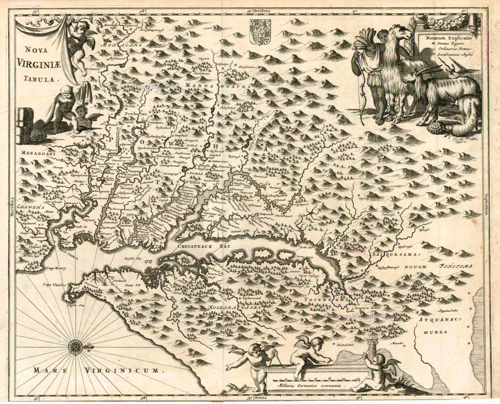
Nova Virginiae Tabula. 1671
Virginia, by A. Montanus.
[Item number: 25613]
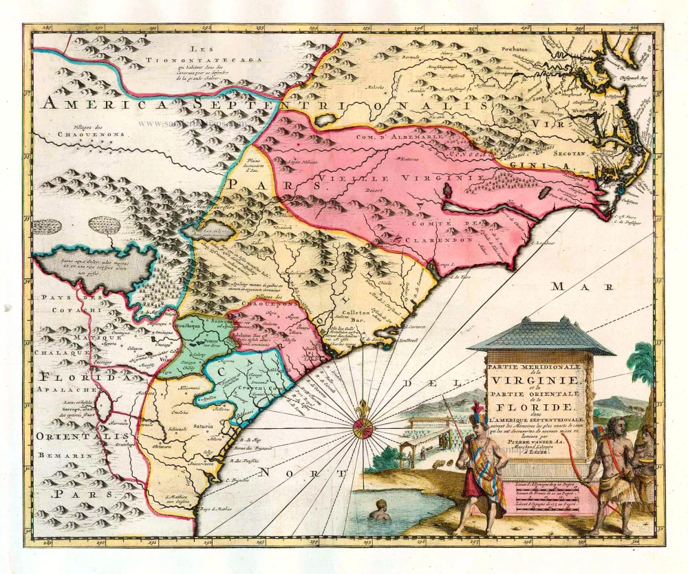
Partie Meridionale de la Virginie, et la Partie Orientale de la Floride dans l'Amerique Septentrionale. 1713
Carolina by Pieter van der Aa.
[Item number: 26137]
Important map
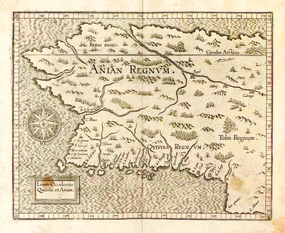
Limes Occidentis Quivira et Anian. 1607
West coast by Wytfliet, Cornelis van
[Item number: 26513]
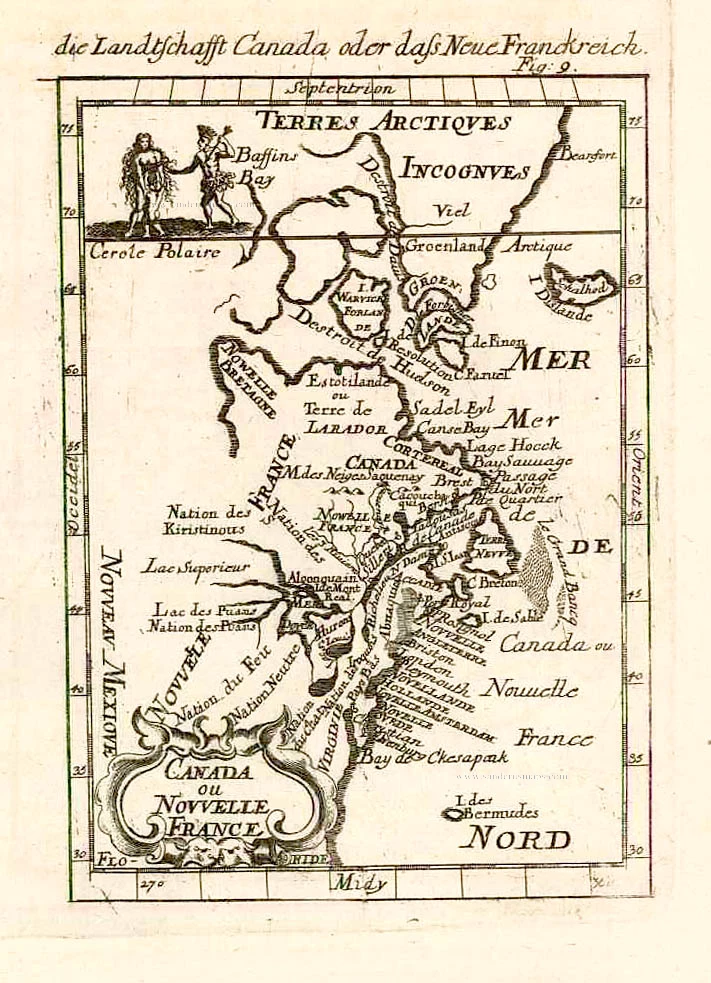
Canada ou Nouvelle France. 1685
North America (Northeast), by A.M. Mallet.
[Item number: 26601]
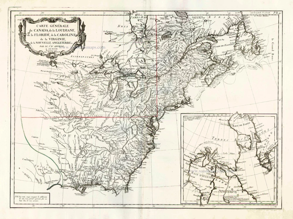
Carte Générale du Canada, de la Louisiane, de la Floride, de la Caroline, de la Virginie, de la Nouvelle Angleterre etc. 1776-79
North America (East), by Paolo Santini.
[Item number: 26980]
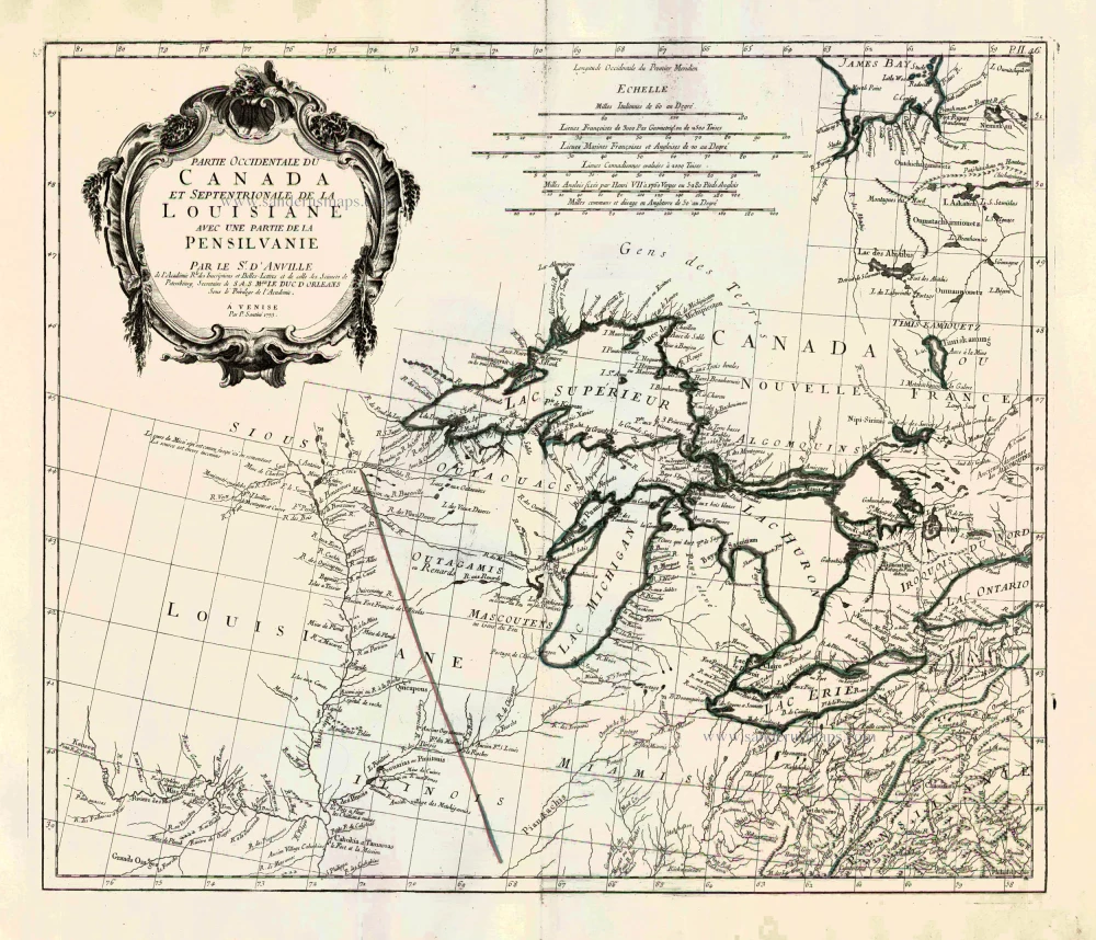
Partie Occidentale du Canada et Septentrionale de la Louisiane avec une Partie de la Pensilvani. 1776-79
Great Lakes, by Paolo Santini.
[Item number: 26981]
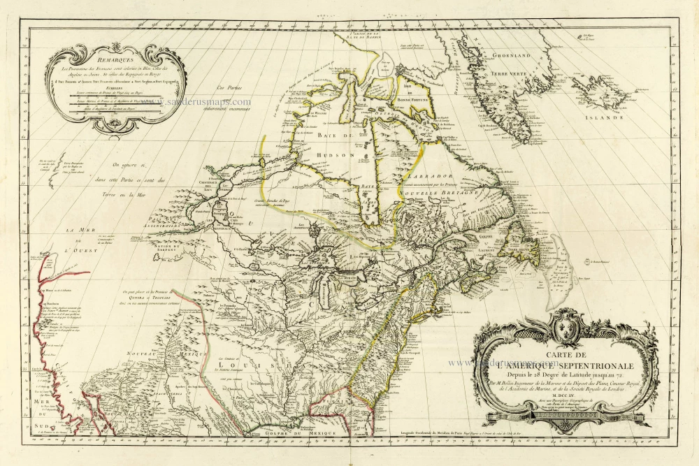
the most comprehensive and up-to-date map published by the French before the fall of New France in 1760
Carte de L'Amerique Septentrionale Depuis to 28. Degré de Latitude Jusqu'au 72. 1756-1770
North America, by J.N. Bellin.
[Item number: 28146]