
Southeast North America - Florida - Cuba by Cornelis van Wytfliet. 1597

This map is drawn from the A. Ortelius - Geronimo de Chaves map entitled La Florida, published in 1584. However, here Wytfliet expands the area covered southward to include parts of Cuba and northward to C. de Arenas or the Outer Banks of Carolina. It also enabled him to have the territory called APALCHE. Most of the cartography is derived from Hernando de Soto's explorations of 1539-42. It is one of the few sixteenth-century maps to record inland information primarily from first-hand European sources. The Ortelius map of 1584 and the Johannes Metellus of 1598 are the only printed maps of the present-day southern United States published in the sixteenth century.
The Florida peninsula differs from the Ortelius in that it is more rectangular and has a pronounced 'neck'. The source for this delineation appears to be unknown. The Rio del Spirito Santo shown here is the Mississippi River. (Burden)
Cornelius Wytfliet (? – 1597)
Cornelius Wytfliet was a geographer from Leuven. After graduating with a Licentiate in Laws from the University of Leuven, Wytfliet moved to Brussels and became secretary to the Council of Brabant.
In 1597, he published the first atlas of America: the Descriptionis Ptolemaicae Augmentum (Augmentation to Ptolemy’s description). He named his work an augmentation of Ptolemy’s Geography because it covers the Americas, a part of the world unknown to Ptolemy. However, there is no other connection between the works of Ptolemy and Van Wytfliet. Dedicated to Philip III of Spain, it is a history of the New World to date, recording its discovery, natural history, etc. It provides a history of exploration and the voyages of Christopher Columbus (1492-1502), John Cabot (1497-98), Sebastian Cabot (1526-28), Francisco Pizarro (1527-35), Giovanni de Verazzano (1524), Jacques Cartier (1540-42), and Martin Frobisher (1576-78). Most of Van Wytfliet’s maps are the first or among the earliest of specific regions of North and South America.
For the book, Wytfliet had engraved nineteen maps, one of the world and eighteen regional maps of the Americas. The book was an immediate success and ran to several editions.
Two editions of the Descriptionis Ptolemaicae were published at Leuven in 1597 and 1598, and in 1603, the first Douai edition appeared, with later editions with French text. The last edition was published in Arnhem in 1615.
Florida et Apalche.
Item Number: 26507 Authenticity Guarantee
Category: Antique maps > America > North America
Old, antique map of Southeast North America - Florida - Cuba, by Cornelis van Wytfliet.
Title: Florida et Apalche.
Date of the first edition: 1597.
Date of this map: 1597.
Copper engraving, printed on paper.
Map size: 230 x 290mm (9.06 x 11.42 inches).
Sheet size: 305 x 335mm (12.01 x 13.19 inches).
Verso: Blank.
Condition: Excellent.
Condition Rating: A+.
References: Van der Krogt 3, 9400:371; Burden, #104; Cumming, #18; Charting Louisiana, #3
From: Descriptionis Ptolemaicae Augmentum Louvain, J. Bogard, 1597. (Van der Krogt 3, 371:01)
This map is drawn from the A. Ortelius - Geronimo de Chaves map entitled La Florida, published in 1584. However, here Wytfliet expands the area covered southward to include parts of Cuba and northward to C. de Arenas or the Outer Banks of Carolina. It also enabled him to have the territory called APALCHE. Most of the cartography is derived from Hernando de Soto's explorations of 1539-42. It is one of the few sixteenth-century maps to record inland information primarily from first-hand European sources. The Ortelius map of 1584 and the Johannes Metellus of 1598 are the only printed maps of the present-day southern United States published in the sixteenth century.
The Florida peninsula differs from the Ortelius in that it is more rectangular and has a pronounced 'neck'. The source for this delineation appears to be unknown. The Rio del Spirito Santo shown here is the Mississippi River. (Burden)
Cornelius Wytfliet (? – 1597)
Cornelius Wytfliet was a geographer from Leuven. After graduating with a Licentiate in Laws from the University of Leuven, Wytfliet moved to Brussels and became secretary to the Council of Brabant.
In 1597, he published the first atlas of America: the Descriptionis Ptolemaicae Augmentum (Augmentation to Ptolemy’s description). He named his work an augmentation of Ptolemy’s Geography because it covers the Americas, a part of the world unknown to Ptolemy. However, there is no other connection between the works of Ptolemy and Van Wytfliet. Dedicated to Philip III of Spain, it is a history of the New World to date, recording its discovery, natural history, etc. It provides a history of exploration and the voyages of Christopher Columbus (1492-1502), John Cabot (1497-98), Sebastian Cabot (1526-28), Francisco Pizarro (1527-35), Giovanni de Verazzano (1524), Jacques Cartier (1540-42), and Martin Frobisher (1576-78). Most of Van Wytfliet’s maps are the first or among the earliest of specific regions of North and South America.
For the book, Wytfliet had engraved nineteen maps, one of the world and eighteen regional maps of the Americas. The book was an immediate success and ran to several editions.
Two editions of the Descriptionis Ptolemaicae were published at Leuven in 1597 and 1598, and in 1603, the first Douai edition appeared, with later editions with French text. The last edition was published in Arnhem in 1615.
Related items

Cuba Insula et Iamaica. 1607
Antilles: Cuba - Jamaica, by Cornelis van Wytfliet.
[Item number: 26502]

Important map
Limes Occidentis Quivira et Anian. 1607
West coast by Wytfliet, Cornelis van
[Item number: 26513]

Floride. 1685
Florida, Virginia and Louisiana, by A.M. Mallet.
[Item number: 26599]
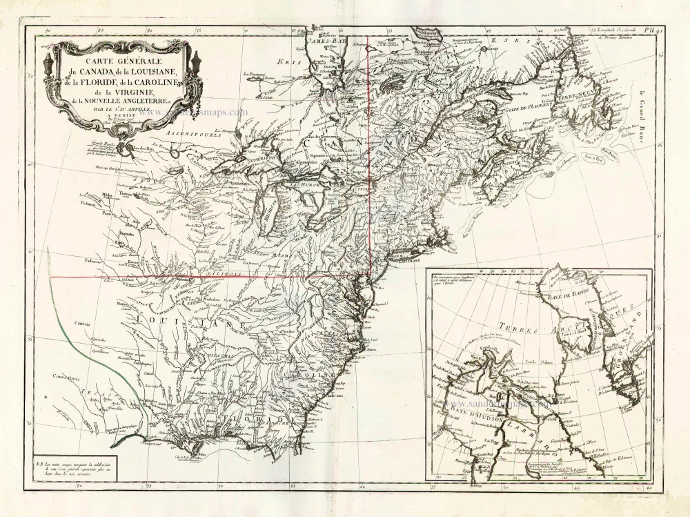
Carte Générale du Canada, de la Louisiane, de la Floride, de la Caroline, de la Virginie, de la Nouvelle Angleterre etc. 1776-79
North America (East), by Paolo Santini.
[Item number: 26980]

Early 'Texas' map
Nueva Hispania Tabula Nova. 1574
North America, by Girolamo Ruscelli.
[Item number: 27755]