
United States, by Jacques Nicolas Bellin. 1747-74
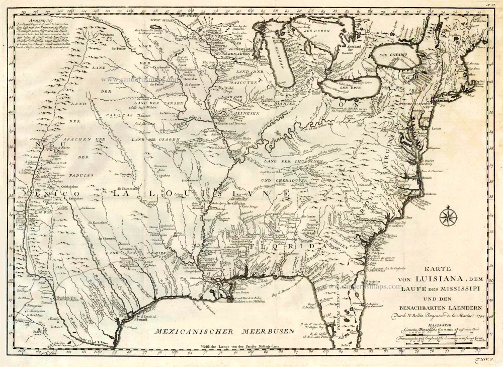
This map covers the United States west of the Rio Grande River. The information in the west includes the road from Mexico City to Santa Fe and the routes of St. Denis and De Soto through Texas. The map shows strategic forts and areas claimed by the French just prior to the French and Indian War. It provides incredible detail of settlements, Indian tribes, rivers, and trails. It includes notes.
Jacques-Nicolas Bellin (1703-1772)
Jacques-Nicolas Bellin, a French geographer, was among the most important mapmakers of the eighteenth century. In 1721, at the age of 18, he was appointed hydrographer of the Ministry of the Navy following the French hydrographic office's creation and the Dépot of charts and plans of the Navy. Appointed hydrographic engineer in August 1741. Member of the Academy of the Navy and the Royal Society of London.
Over the course of a 50-year career, he drew the maps of several major works of his time such as Histoire et description générale de la Nouvelle-France de Charlevoix (1744); Histoire générale des voyages de l'Abbé Prévost (published between 1746 and 1759) ); Neptune François (1753), Hydrographie Françoise (1756-1765), and Petit Atlas Français (1763) - reissued as Petit Atlas Maritime (1765). He is the most copied cartographer of the 18th century.
His maps of Canada and the French territories of North America are of considerable value. This is all the more remarkable since, an archetype of the cabinet cartographer, Bellin never came to America. For his cartography of the St. Lawrence River, he entrusted handwritten maps to navigators to correct and enrich. With each return of these maps, he was updating his knowledge. Two basic needs drive its cartography of North America: to secure navigation on the St. Lawrence River and to claim for France the lands explored by the French in the Great Lakes region and along the Mississippi River.
Jacques-Nicolas Bellin died on March 21, 1772, in Versailles. In the burial certificate, he is described as "the first engineer of the navy and the deposit of plans, royal censor of the academy of navy and the royal society of London".
Karte von Luisiana, dem Laufe des Mississipi und den Benachbarten Laendern.
Item Number: 26795 Authenticity Guarantee
Category: Antique maps > America > North America
Old, antique map of the Unites States, by Jacques Nicolas Bellin
Date of the first edition: 1744
Date of this map: c. 1747
Date on map: 1744
Copper engraving, printed on paper.
Size (not including margins): 55 x 39.5cm (21.5 x 15.4 inches)
Verso: Blank
Condition: Excellent.
Condition Rating: A+
References: McCorkle, #744-1 (=French text edition).
From: Prevost d'Exiles. Allgemeine Historie der Reisen zu Wasser und Lande; oder Sammlung aller Reisebeschreibungen, welche bis itzo in verschiedene Sprachen von allen Völkern herausgegeben worden, ... Leipzig, Arkstee und Merkus, 1747-74.
This map covers the United States west of the Rio Grande River. The information in the west includes the road from Mexico City to Santa Fe and the routes of St. Denis and De Soto through Texas. The map shows strategic forts and areas claimed by the French just prior to the French and Indian War. It provides incredible detail of settlements, Indian tribes, rivers, and trails. It includes notes.
Jacques-Nicolas Bellin (1703-1772)
Jacques-Nicolas Bellin, a French geographer, was among the most important mapmakers of the eighteenth century. In 1721, at the age of 18, he was appointed hydrographer of the Ministry of the Navy following the French hydrographic office's creation and the Dépot of charts and plans of the Navy. Appointed hydrographic engineer in August 1741. Member of the Academy of the Navy and the Royal Society of London.
Over the course of a 50-year career, he drew the maps of several major works of his time such as Histoire et description générale de la Nouvelle-France de Charlevoix (1744); Histoire générale des voyages de l'Abbé Prévost (published between 1746 and 1759) ); Neptune François (1753), Hydrographie Françoise (1756-1765), and Petit Atlas Français (1763) - reissued as Petit Atlas Maritime (1765). He is the most copied cartographer of the 18th century.
His maps of Canada and the French territories of North America are of considerable value. This is all the more remarkable since, an archetype of the cabinet cartographer, Bellin never came to America. For his cartography of the St. Lawrence River, he entrusted handwritten maps to navigators to correct and enrich. With each return of these maps, he was updating his knowledge. Two basic needs drive its cartography of North America: to secure navigation on the St. Lawrence River and to claim for France the lands explored by the French in the Great Lakes region and along the Mississippi River.
Jacques-Nicolas Bellin died on March 21, 1772, in Versailles. In the burial certificate, he is described as "the first engineer of the navy and the deposit of plans, royal censor of the academy of navy and the royal society of London".
Related items
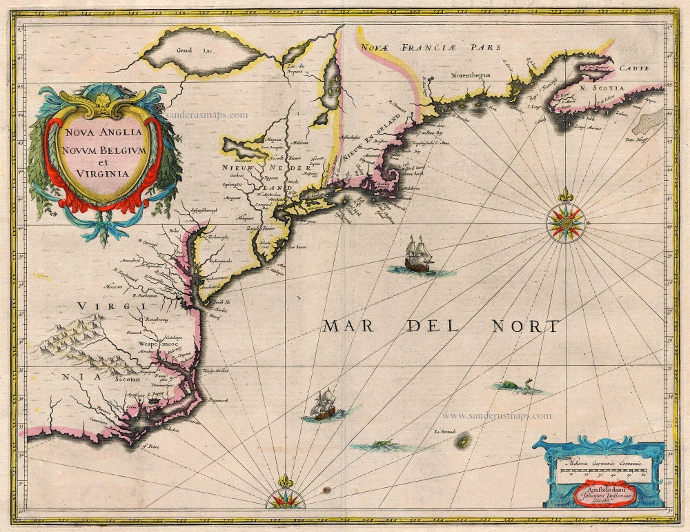
Nova Anglia Novum Belgium et Virginia 1638
United States (Northeast) by Janssonius J.
[Item number: 19011]
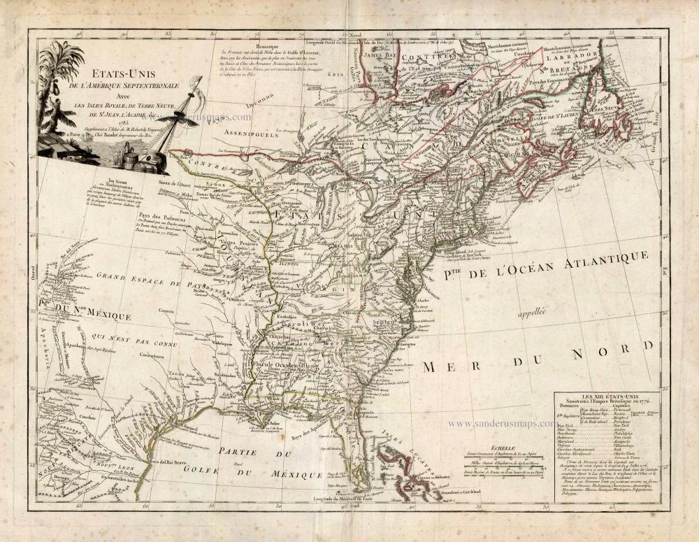
Etats-Unis de l'Amerique Septentrionale avec les Isles Royale, de Terre Neuve de St. Jean, l'Acadie &c. 1786
United States (East) by Boudet A. - de Vaugondy R.
[Item number: 25265]
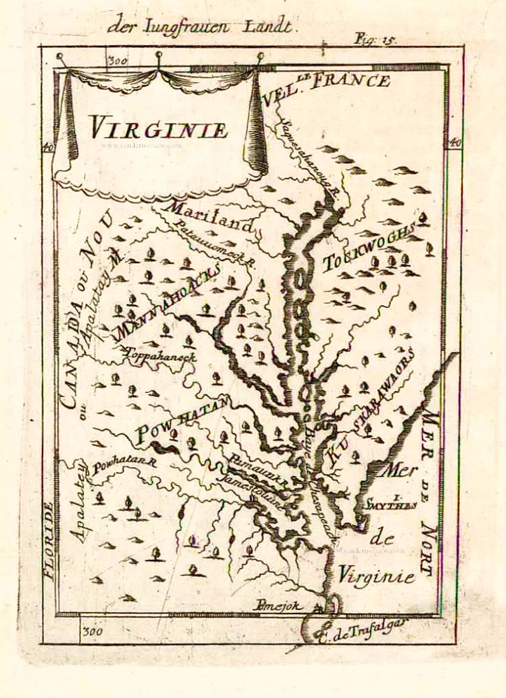
Virginie. 1685
Virginia and Maryland, by A.M. Mallet.
[Item number: 26602]
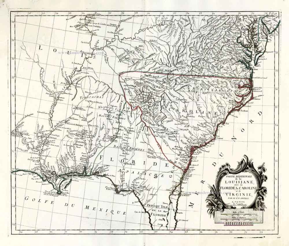
Partie Méridionale de la Louisiane, avec la Floride, la Caroline et la Virginie. 1776-79
The United States (Southeast), by Francesco Santini.
[Item number: 26983]
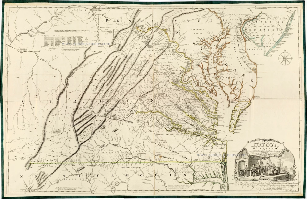
Very important Virginia map.
A Map of the Most Inhabited Part of Virginia Containing the Whole Province of Maryland with Part of Pensilvania, New Jersey and North Carolina. 1775
Joshua Fry & Peter Jefferson
[Item number: 28119]
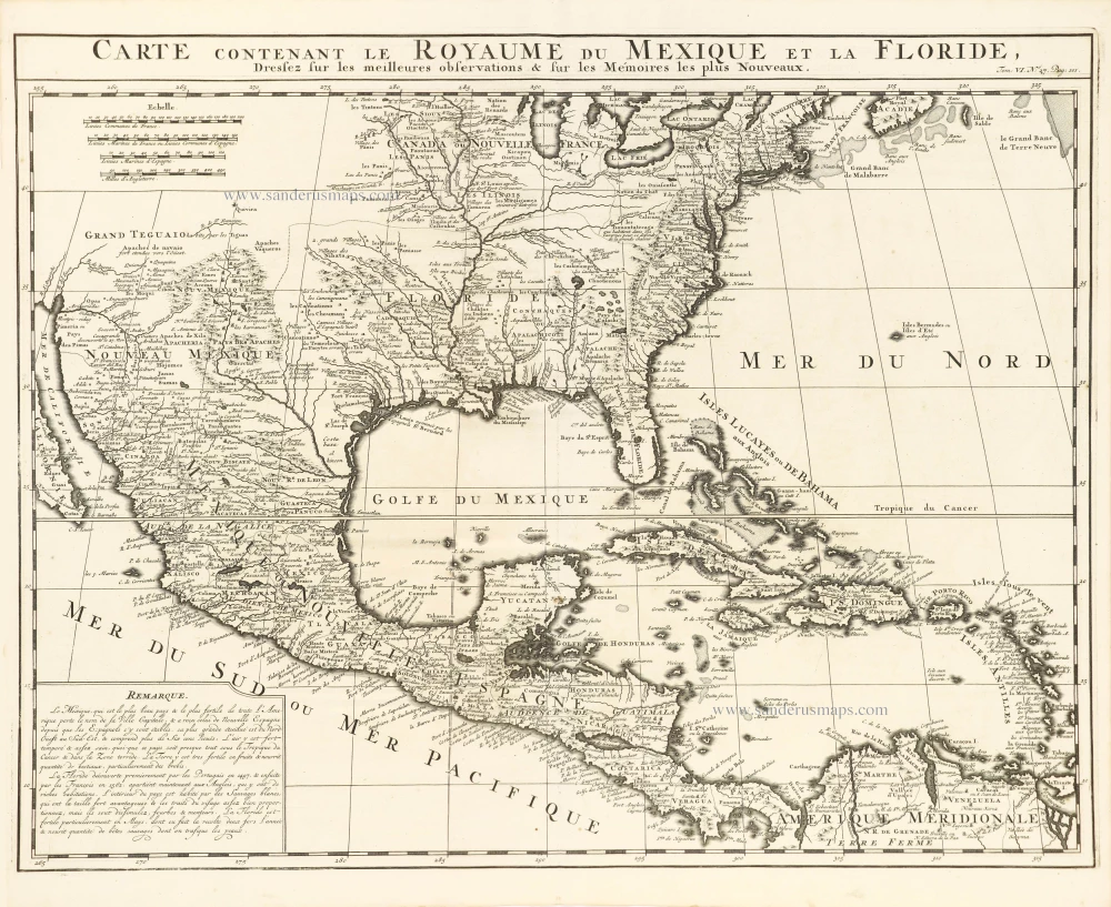
Carte Contenant le Royaume du Mexique et la Floride, 1719
United States, Central America, and the West Indies, by Zacharias Châtelain.
[Item number: 29409]