
Ancient Asia by Nicolas & Guillaume Sanson. 1667-69
Nicolas Sanson (1600-1667) - Guillaume Sanson (1633-1703)
Originally from Abbeville, Nicolas I Sanson showed a keen interest in historical geography. Still very young, he published a map of ancient Gaul and two treatises, Britannia and Portus Itius on Abbeville and Boulogne's origins. His meeting with Melchior Tavernier was decisive: it prompted him to give up his duties as a military engineer in Picardy and devote himself to engraved cartography.
At the same time, Sanson had drawn up the outline of modern France. He got the help of Tavernier who encouraged him to compete with the Dutch map publishers. Tavernier contacted other French cartographers whose works he published.
From 1643, N. Sanson obtained a privilege to publish a work personally, the Princes souverains de l'Italie. Then, in 1644 and 1645, he had his famous geographical tables printed, which significantly contributed to his fame. He also published a series of atlases in quarto of the four continents.
In 1648, N. Sanson associated himself with Mariette for the publishing of atlases. From then on, certain maps bore his name, and others Mariette's. N. Sanson and Mariette worked together for more than 20 years. After the death of N. Sanson, Mariette acquired the entire fund. Since Mariette only wanted to publish complete atlases, individual maps were no longer sold, and some army generals complained to the king.
The disagreement between the Sanson family and Pierre II Mariette culminated in 1671 when Guillaume Sanson took the case to court. From then on, there was no longer any question of collaboration: Guillaume Sanson started working for another publisher, Alexis-Hubert Jaillot.
The Sanson family faced financial difficulties, and in 1692, their cousin, Pierre Moullart-Sanson, bought the entire geographic fund from his uncles and aunt. Moullart-Sanson restarted the publishing of Sanson's world atlas, and in 1704 he acquired a privilege for publishing all the works of Nicolas and Guillaume Sanson, which continued to be published until 1730.
Pierre Mariette (1602-1658)
Bookseller, printseller, printer, and publisher, located in the Rue Saint-Jacques in Paris. On February 12, 1644, Pierre Mariette acquired most of Melchior Tavernier's fund. In 1646, he had a series of maps by Blaeu copied and asked Abraham Peyrounin to engrave them. In the meantime, he published the works of Nicolas Sanson. In 1650 he published the atlas Théâtre Géographique de France. A second edition followed in 1653. He later contributed to Sanson's atlas, the Cartes générales de toutes les parties du monde. Many maps of Mariette's Théatre appeared in later editions of Sanson's Cartes générales.
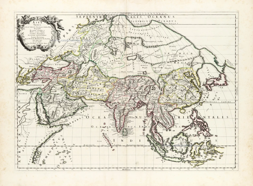
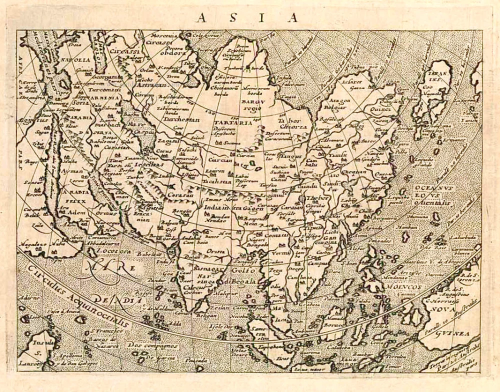
Asia Vetus.
Item Number: 30002 Authenticity Guarantee
Category: Antique maps > Asia > Asia
Old, antique map of Ancient Asia by Nicolas & Guillaume Sanson.
Title: Asia Vetus.
Nicolai Sanson Christianiss. Galliar. Regis Geographi.
Recognita, Emendata, et Multis in locis Mutata.
Conatibus Geographicis, Gulielmi Sanson N. Filii.
Lutetiae Parisiorum.
Apud Petrum Mariette Via Iacobaea Sub Signo Spei.
MDC LXVII.
Cum Privilegio ad Viginti Annos.
Date of the first edition: 1667.
Date of this map: 1667-69.
Date on map: 1667.
Copper engraving, printed on paper.
Image size: 405 x 565mm (15.94 x 22.24 inches).
Sheet size: 485 x 650mm (19.09 x 25.59 inches).
Verso: Blank.
Condition: Original coloured in outline, excellent.
Condition Rating: A+.
Cartes generales de toutes les parties du monde, ou les empires, monarchies, republiques, estats, peuples,&c. le l'Asie, de l'Afrique, de l'Europe, & de l'Amerique, ... Par le Sieur d'Abbeville, A Paris, chez Pierre Mariette, ... M.DC.LXVII [1667-70]. (Pastoureau, Sanson V D 1667).
Nicolas Sanson (1600-1667) - Guillaume Sanson (1633-1703)
Originally from Abbeville, Nicolas I Sanson showed a keen interest in historical geography. Still very young, he published a map of ancient Gaul and two treatises, Britannia and Portus Itius on Abbeville and Boulogne's origins. His meeting with Melchior Tavernier was decisive: it prompted him to give up his duties as a military engineer in Picardy and devote himself to engraved cartography.
At the same time, Sanson had drawn up the outline of modern France. He got the help of Tavernier who encouraged him to compete with the Dutch map publishers. Tavernier contacted other French cartographers whose works he published.
From 1643, N. Sanson obtained a privilege to publish a work personally, the Princes souverains de l'Italie. Then, in 1644 and 1645, he had his famous geographical tables printed, which significantly contributed to his fame. He also published a series of atlases in quarto of the four continents.
In 1648, N. Sanson associated himself with Mariette for the publishing of atlases. From then on, certain maps bore his name, and others Mariette's. N. Sanson and Mariette worked together for more than 20 years. After the death of N. Sanson, Mariette acquired the entire fund. Since Mariette only wanted to publish complete atlases, individual maps were no longer sold, and some army generals complained to the king.
The disagreement between the Sanson family and Pierre II Mariette culminated in 1671 when Guillaume Sanson took the case to court. From then on, there was no longer any question of collaboration: Guillaume Sanson started working for another publisher, Alexis-Hubert Jaillot.
The Sanson family faced financial difficulties, and in 1692, their cousin, Pierre Moullart-Sanson, bought the entire geographic fund from his uncles and aunt. Moullart-Sanson restarted the publishing of Sanson's world atlas, and in 1704 he acquired a privilege for publishing all the works of Nicolas and Guillaume Sanson, which continued to be published until 1730.
Pierre Mariette (1602-1658)
Bookseller, printseller, printer, and publisher, located in the Rue Saint-Jacques in Paris. On February 12, 1644, Pierre Mariette acquired most of Melchior Tavernier's fund. In 1646, he had a series of maps by Blaeu copied and asked Abraham Peyrounin to engrave them. In the meantime, he published the works of Nicolas Sanson. In 1650 he published the atlas Théâtre Géographique de France. A second edition followed in 1653. He later contributed to Sanson's atlas, the Cartes générales de toutes les parties du monde. Many maps of Mariette's Théatre appeared in later editions of Sanson's Cartes générales.
Related items
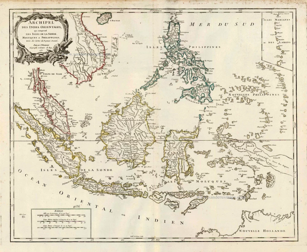
Archipel des Indes Orientales qui Comprend les Isles de la Sonde, Moluques et Philippines. c. 1757
Southeast Asia, par Robert de Vaugondy.
[Item number: 4751]
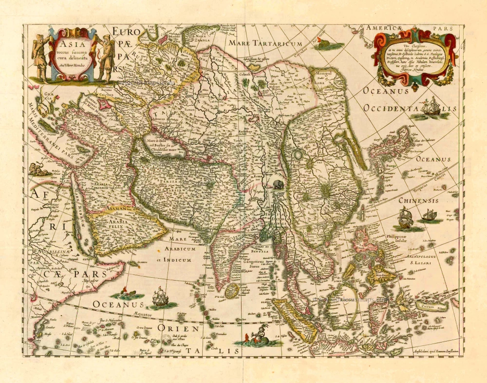
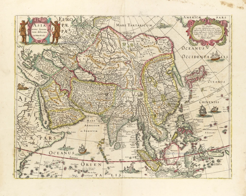
Asia Recens Summa Cura Delineata. 1644-58
Asia, by J. Janssonius
[Item number: 7508]

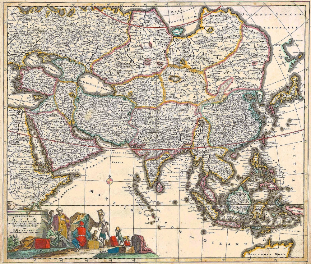
Accuratissima totius Asiae Tabula. c. 1691-96
Asia, by F. De Wit.
[Item number: 10960]
Exactissima Asiae Delineatio in praecipuas regiones Caeterasq Partes divisa. c. 1700
Asia by Th. Danckerts.
[Item number: 11298]
Asia 1602
Asia by Langenes, published by Bertius P.
[Item number: 12518]
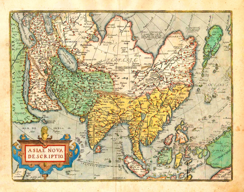
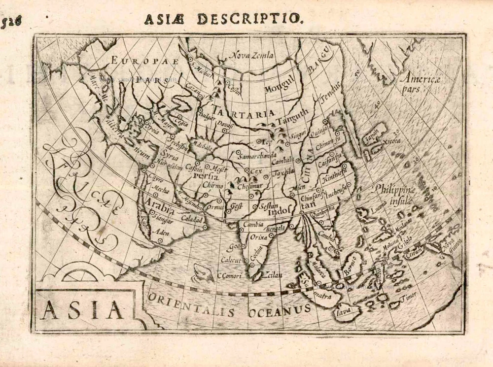
Asiae Nova Descriptio. 1612
Asia, by Abraham Ortelius.
[Item number: 22925]
Asia Recens Summa Cura Delineata. 1639
ASIA by Hondius H.
[Item number: 24473]
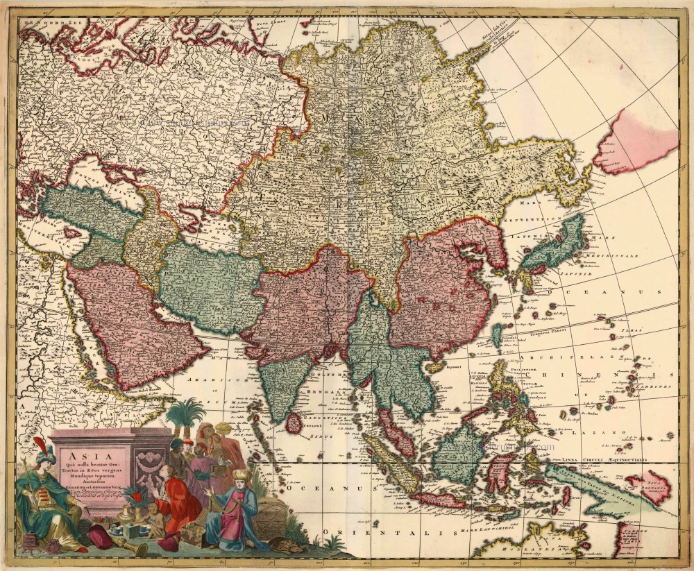
Asia qua Nulla Beatior Ora; Tractus in Eoos Vergens Mundique Teporem. c. 1730.
Asia, by G.& L. Valk.
[Item number: 24538]

Asiae in Tabula Geographica Delineatio. c. 1700
Asia by A.F. Zürner, published by Petrus Schenk.
[Item number: 25842]
Asia. 1597
Asia, by Giovanni Magini.
[Item number: 26548]
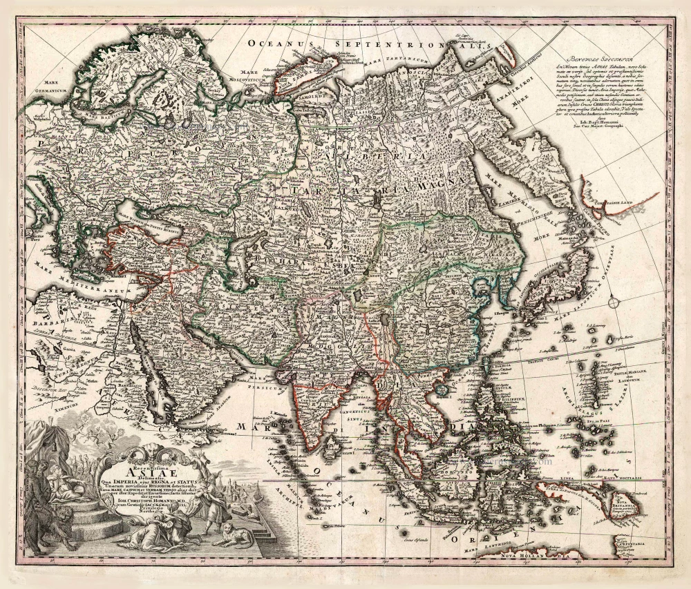
Recentissima Asiae Delineatio qua Imperia, ejus Regna et Status ... 1730-37
Asia, by Homann Johann Christoph.
[Item number: 26733]
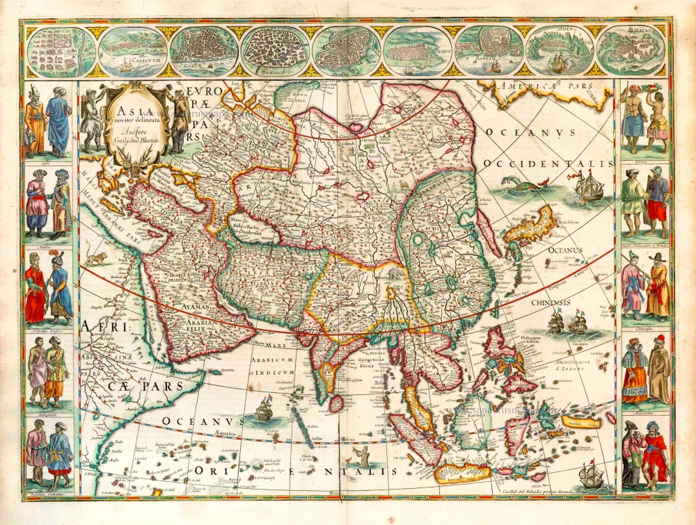
Asia Noviter Delineata. 1641-42
Asia, by Willem Blaeu.
[Item number: 27041]
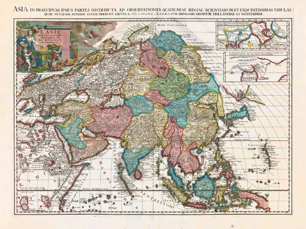
L'Asie Selon les Nouvelles Observations de Messrs. de l'Academie des Sciences, etc. Before 1713
Asia, by François Halma.
[Item number: 27851]
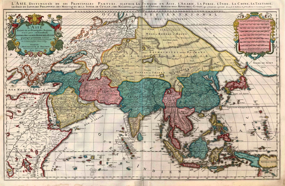
L'Asie divisée en ses Principales Regions, et ou se peut voir l'estendue Des Empites, Monarchies, Royaumes, et Estats qui partagent présentement L'Asie. c. 1705
Asia, by H. Jaillot, published by P. Mortier.
[Item number: 27858]
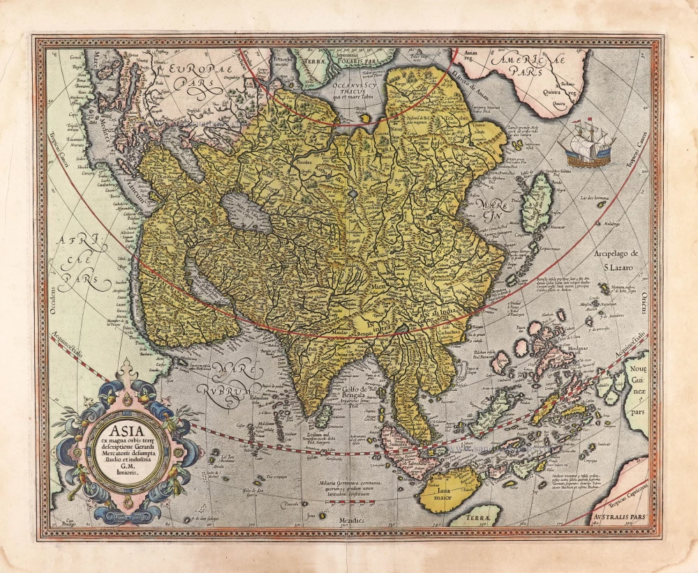
Asia ex magna orbis terre descriptione Gerardi Mercatoris desumpta studio et industria G.M. Iunioris. 1613
Asia, by Gerard Mercator.
[Item number: 28072]
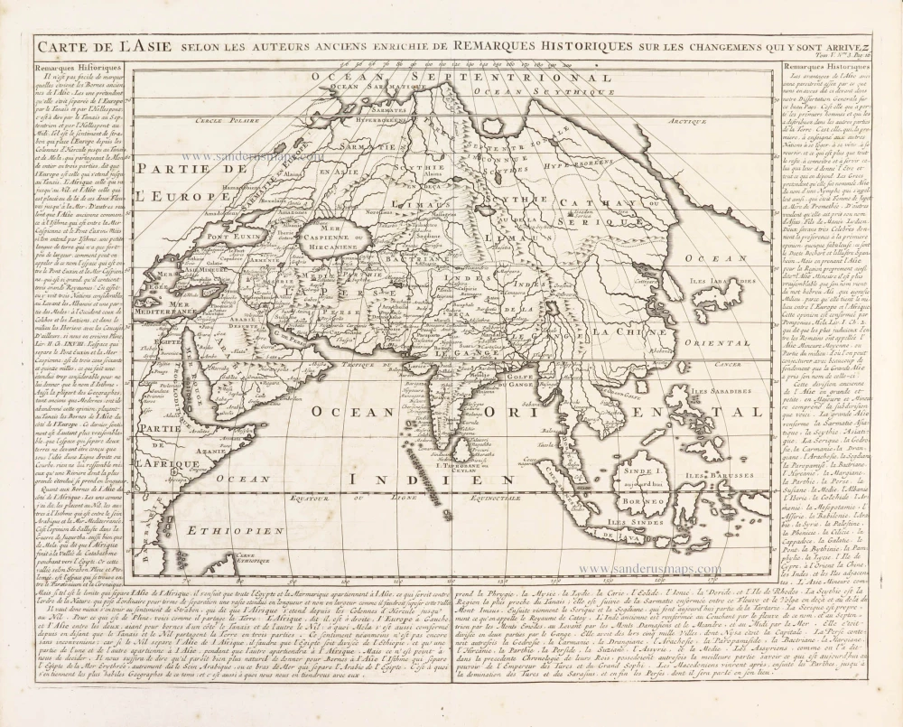
Carte de l'Asie selon les auteurs anciens enrichie de remarques historiques sur les changemens qui y sont arrivez. 1719
Asia, by Zacharias Châtelain.
[Item number: 29387]
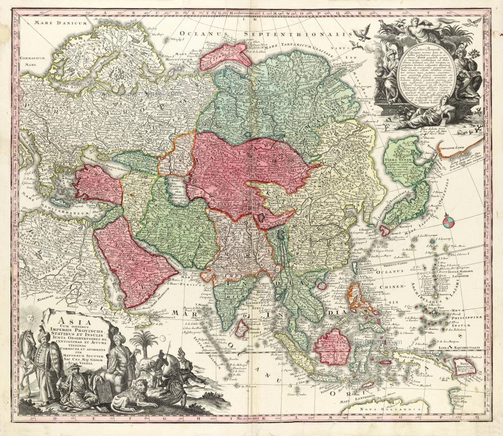
Asia Cum omnibus Imperiis Provinciis, Statibus et Insulis Iuxta Observationes receentissimas et Accuratissimas Correcta et Adornata. 1728
Asia by Matthäus Seutter.
[Item number: 30201]

Asia Antiqua cum finitimis Africae et Europae Regionibus. 1675
Antique map of Asia by Janssonius à Waesberghe -
[Item number: 30385]
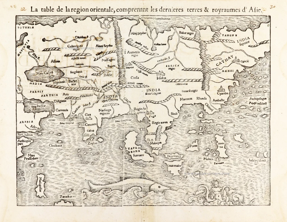
La table de la region orientale, comprenant les derniered terres & royraumes d'Asie. 1568
Asia by Sebastian Munster.
[Item number: 30528]