
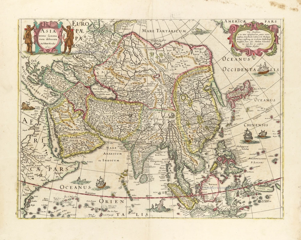
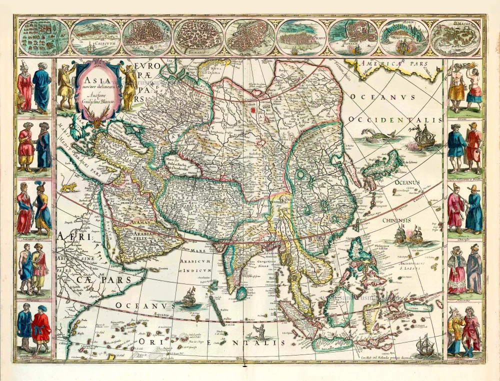
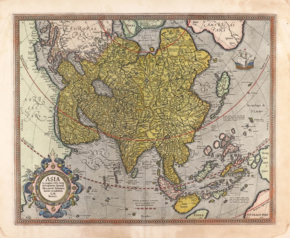
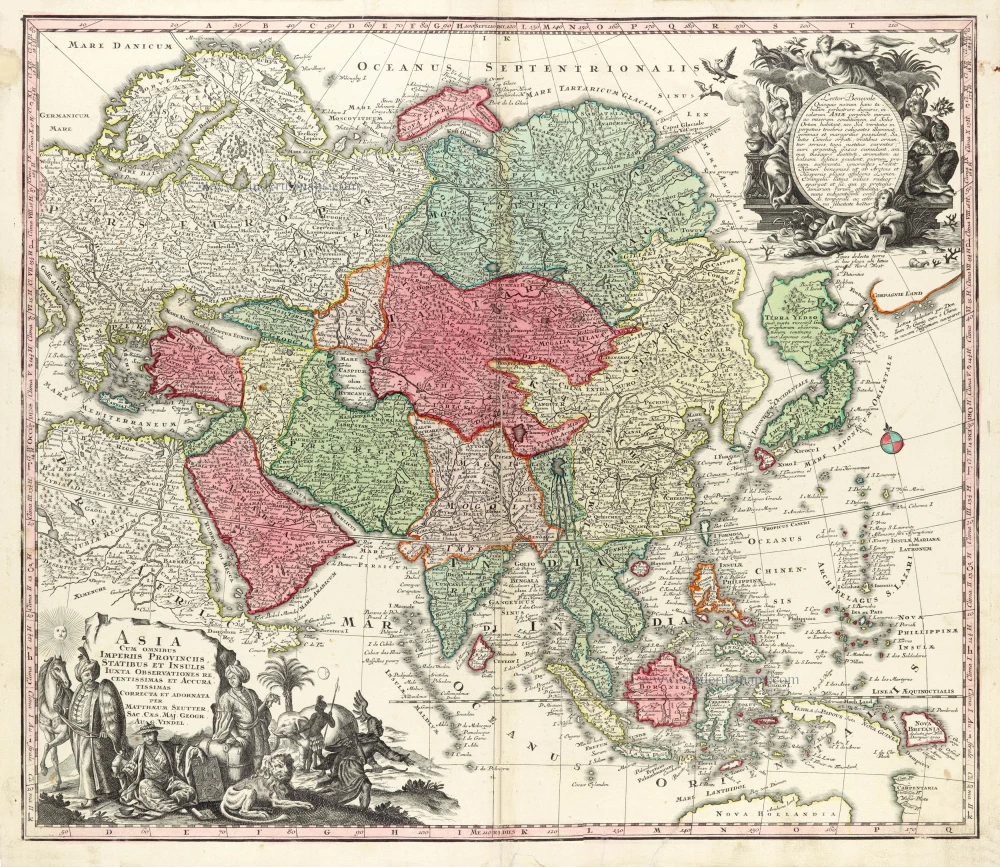
Asia, by Willem Blaeu. 1641-42
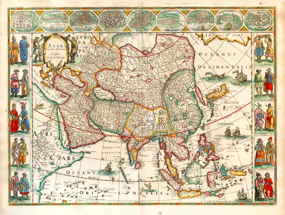


This map belongs to Blaeu's set of maps of the four continents. The maps are reductions of Blaeu's 1608 wall maps. The title of the map of Asia appears in a cartouche, flanked by nomads, in the upper left. In the lower right is a reference to the ten-year privilege.
The map is framed on both sides by five costumed Asian figures. Along the upper edge runs a decorative border with nine Asian towns in oval frames.
These decorative strips are based entirely on border decorations from Blaeu's 1608 wall map of Asia. The map image is also a reduction of this wall map.
The Blaeus: Willem Janszoon, Cornelis & Joan
Willem Jansz. Blaeu and his son Joan Blaeu are the seventeenth century's most widely known cartographic publishers.
Willem Jansz. (also written Guilielmus Janssonius) = Willem Janszoon Blaeu was born in Uitgeest (Netherlands), near Alkmaar, in 1571. He studied mathematics under Tycho Brahe and learned the theory and practice of astronomical observations and the art of instrument- and globe-making.
In 1596, he came to Amsterdam, where he settled down as a globe-, instrument- and mapmaker. He published his first cartographic work (a globe) in 1599 and probably published his first printed map (a map of the Netherlands) in 1604. He specialised in maritime cartography, published the first edition of the pilot guide Het Licht der Zeevaert in 1608, and was appointed Hydrographer of the V.O.C. (United East India Company) in 1633. After publishing books, wall maps, globes, charts and pilot guides for thirty years, he brought out his first atlas, Atlas Appendix (1630). This was the beginning of the great tradition of atlas-making by the Blaeus.
In 1618, another mapmaker, bookseller and publisher, Johannes Janssonius, established himself in Amsterdam next door to Blaeu's shop. No wonder these two neighbours began accusing each other of copying and stealing their information and became fierce competitors who did not have a good word to say about each other. In about 1621 Willem Jansz. decided to end the confusion between his name and his competitor's and assumed his grandfather's nickname, 'blauwe Willem' ('blue Willem'), as the family name; after that, he called himself Willem Jansz. Blaeu.
Willem Janszoon Blaeu died in 1638, leaving his prospering business to his sons, Cornelis and Joan. We only know that Cornelis's name occurs in the prefaces of books and atlases until c. 1645.
Joan Blaeu, born in Amsterdam in 1596, became a partner in his father's book trade and printing business. 1638, he was appointed his father's successor in the Hydrographic Office of the V.O.C. His efforts culminated in the magnificent Atlas Major and the town books of the Netherlands and Italy – works unsurpassed in history and modern times, giving eternal fame to the name of the Blaeu's.
A fire ruined the business on February 23, 1672, and one year later, Dr. Joan Blaeu died. The fire and the director's passing caused the complete sale of the Blaeu House's stock. Five public auctions dispersed the remaining books, atlases, copperplates, globes, etc., among many other map dealers and publishers in Amsterdam. The majority was acquired by several booksellers acting in partnership.
In the succeeding years, the remaining printing department remained in the hands of the Blaeu family until 1695, when the printing house's inventory was sold at a public auction. That meant the end of the Blaeu family as a printing house of world renown.
Asia Noviter Delineata.
Item Number: 27041 Authenticity Guarantee
Category: Antique maps > Asia > Asia
Old, antique map of Asia, by Willem Blaeu
Date of the first edition: 1630
Date of this map: 1641-42
Copper engraving, printed on paper.
Size (not including margins): 41 x 55.5cm (16 x 21.6 inches)
Verso text: German
Condition: Original coloured, excellent.
Condition Rating: A+
References: Van der Krogt 2, 8000:2; Schilder 6, 21:2; Yeo (Asia), 24.
From: Novus Atlas, Das ist, Weltbeschreibung, ... Amsterdam, J. Blaeu, 1641. (Van der Krogt 2, 231)
This map belongs to Blaeu's set of maps of the four continents. The maps are reductions of Blaeu's 1608 wall maps. The title of the map of Asia appears in a cartouche, flanked by nomads, in the upper left. In the lower right is a reference to the ten-year privilege.
The map is framed on both sides by five costumed Asian figures. Along the upper edge runs a decorative border with nine Asian towns in oval frames.
These decorative strips are based entirely on border decorations from Blaeu's 1608 wall map of Asia. The map image is also a reduction of this wall map.
The Blaeus: Willem Janszoon, Cornelis & Joan
Willem Jansz. Blaeu and his son Joan Blaeu are the seventeenth century's most widely known cartographic publishers.
Willem Jansz. (also written Guilielmus Janssonius) = Willem Janszoon Blaeu was born in Uitgeest (Netherlands), near Alkmaar, in 1571. He studied mathematics under Tycho Brahe and learned the theory and practice of astronomical observations and the art of instrument- and globe-making.
In 1596, he came to Amsterdam, where he settled down as a globe-, instrument- and mapmaker. He published his first cartographic work (a globe) in 1599 and probably published his first printed map (a map of the Netherlands) in 1604. He specialised in maritime cartography, published the first edition of the pilot guide Het Licht der Zeevaert in 1608, and was appointed Hydrographer of the V.O.C. (United East India Company) in 1633. After publishing books, wall maps, globes, charts and pilot guides for thirty years, he brought out his first atlas, Atlas Appendix (1630). This was the beginning of the great tradition of atlas-making by the Blaeus.
In 1618, another mapmaker, bookseller and publisher, Johannes Janssonius, established himself in Amsterdam next door to Blaeu's shop. No wonder these two neighbours began accusing each other of copying and stealing their information and became fierce competitors who did not have a good word to say about each other. In about 1621 Willem Jansz. decided to end the confusion between his name and his competitor's and assumed his grandfather's nickname, 'blauwe Willem' ('blue Willem'), as the family name; after that, he called himself Willem Jansz. Blaeu.
Willem Janszoon Blaeu died in 1638, leaving his prospering business to his sons, Cornelis and Joan. We only know that Cornelis's name occurs in the prefaces of books and atlases until c. 1645.
Joan Blaeu, born in Amsterdam in 1596, became a partner in his father's book trade and printing business. 1638, he was appointed his father's successor in the Hydrographic Office of the V.O.C. His efforts culminated in the magnificent Atlas Major and the town books of the Netherlands and Italy – works unsurpassed in history and modern times, giving eternal fame to the name of the Blaeu's.
A fire ruined the business on February 23, 1672, and one year later, Dr. Joan Blaeu died. The fire and the director's passing caused the complete sale of the Blaeu House's stock. Five public auctions dispersed the remaining books, atlases, copperplates, globes, etc., among many other map dealers and publishers in Amsterdam. The majority was acquired by several booksellers acting in partnership.
In the succeeding years, the remaining printing department remained in the hands of the Blaeu family until 1695, when the printing house's inventory was sold at a public auction. That meant the end of the Blaeu family as a printing house of world renown.
Related items
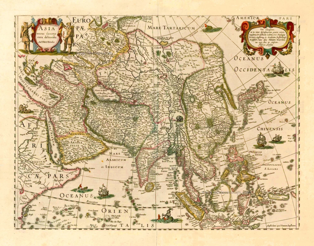
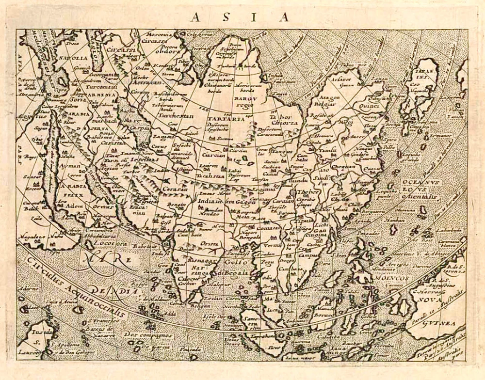
Asia Recens Summa Cura Delineata. 1644-58
Asia, by J. Janssonius
[Item number: 7508]

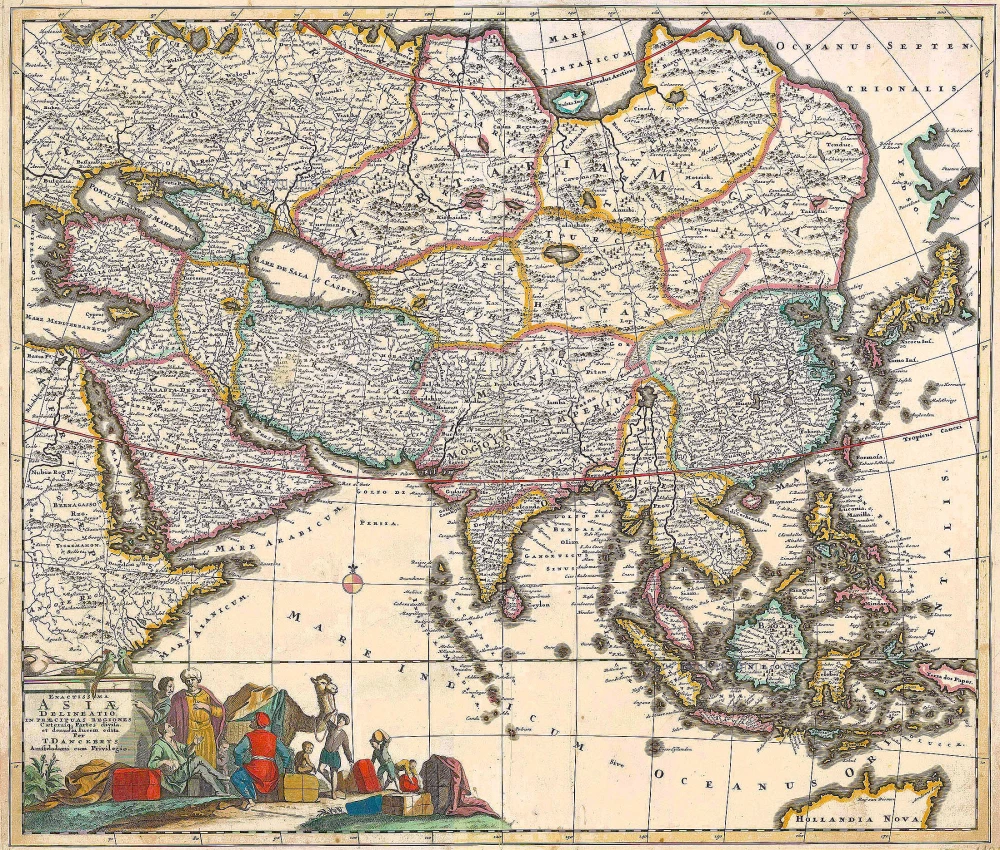
Accuratissima totius Asiae Tabula. c. 1691-96
Asia, by F. De Wit.
[Item number: 10960]
Exactissima Asiae Delineatio in praecipuas regiones Caeterasq Partes divisa. c. 1700
Asia by Th. Danckerts.
[Item number: 11298]
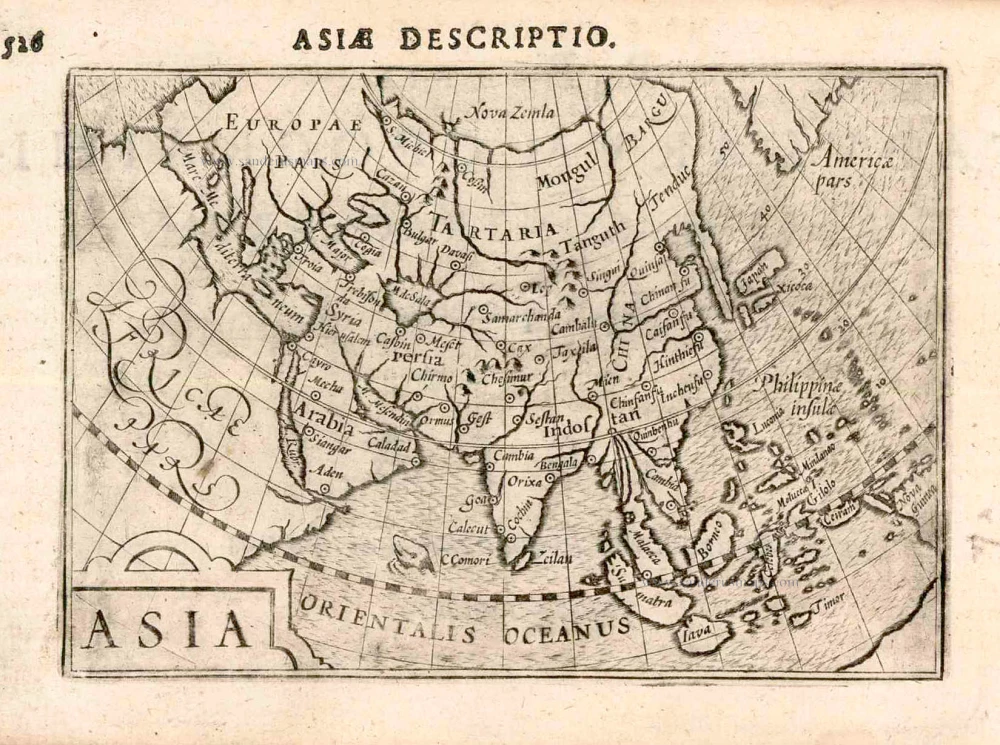
Asia 1602
Asia by Langenes, published by Bertius P.
[Item number: 12518]
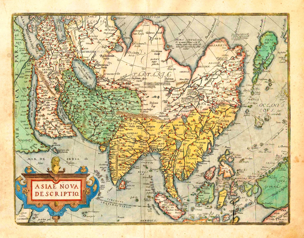
Asiae Nova Descriptio. 1612
Asia, by Abraham Ortelius.
[Item number: 22925]
Asia Recens Summa Cura Delineata. 1639
ASIA by Hondius H.
[Item number: 24473]
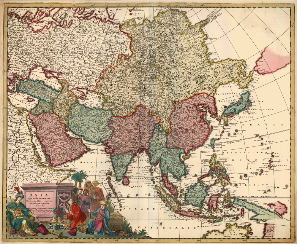
Asia qua Nulla Beatior Ora; Tractus in Eoos Vergens Mundique Teporem. c. 1730.
Asia, by G.& L. Valk.
[Item number: 24538]

Asiae in Tabula Geographica Delineatio. c. 1700
Asia by A.F. Zürner, published by Petrus Schenk.
[Item number: 25842]
Asia. 1597
Asia, by Giovanni Magini.
[Item number: 26548]
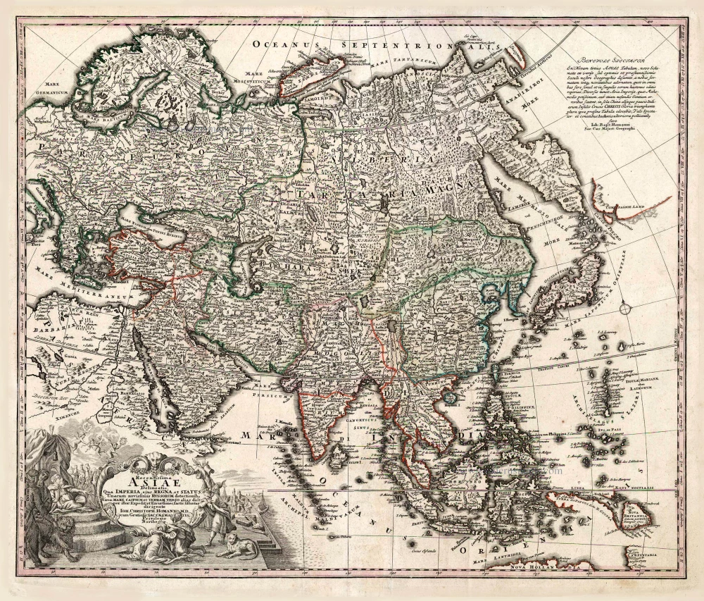
Recentissima Asiae Delineatio qua Imperia, ejus Regna et Status ... 1730-37
Asia, by Homann Johann Christoph.
[Item number: 26733]
Asia Noviter Delineata. 1641-42
Asia, by Willem Blaeu.
[Item number: 27041]
Asia Noviter Delineata. 1640
Old antique map of Asia, by Willem Blaeu.
[Item number: 27151]
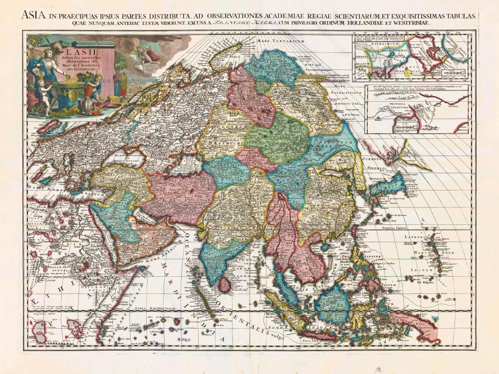
L'Asie Selon les Nouvelles Observations de Messrs. de l'Academie des Sciences, etc. Before 1713
Asia, by François Halma.
[Item number: 27851]
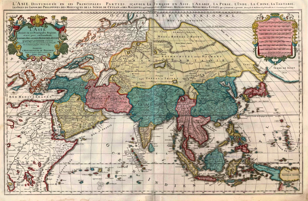
L'Asie divisée en ses Principales Regions, et ou se peut voir l'estendue Des Empites, Monarchies, Royaumes, et Estats qui partagent présentement L'Asie. c. 1705
Asia, by H. Jaillot, published by P. Mortier.
[Item number: 27858]
Asia ex magna orbis terre descriptione Gerardi Mercatoris desumpta studio et industria G.M. Iunioris. 1613
Asia, by Gerard Mercator.
[Item number: 28072]
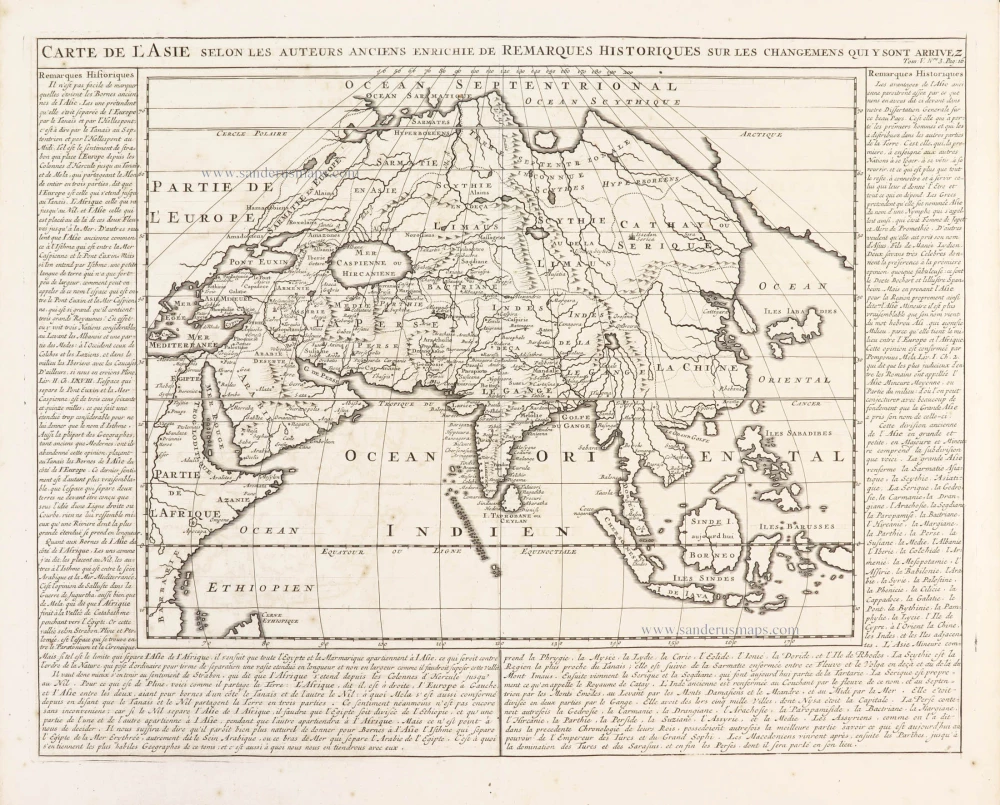
Carte de l'Asie selon les auteurs anciens enrichie de remarques historiques sur les changemens qui y sont arrivez. 1719
Asia, by Zacharias Châtelain.
[Item number: 29387]
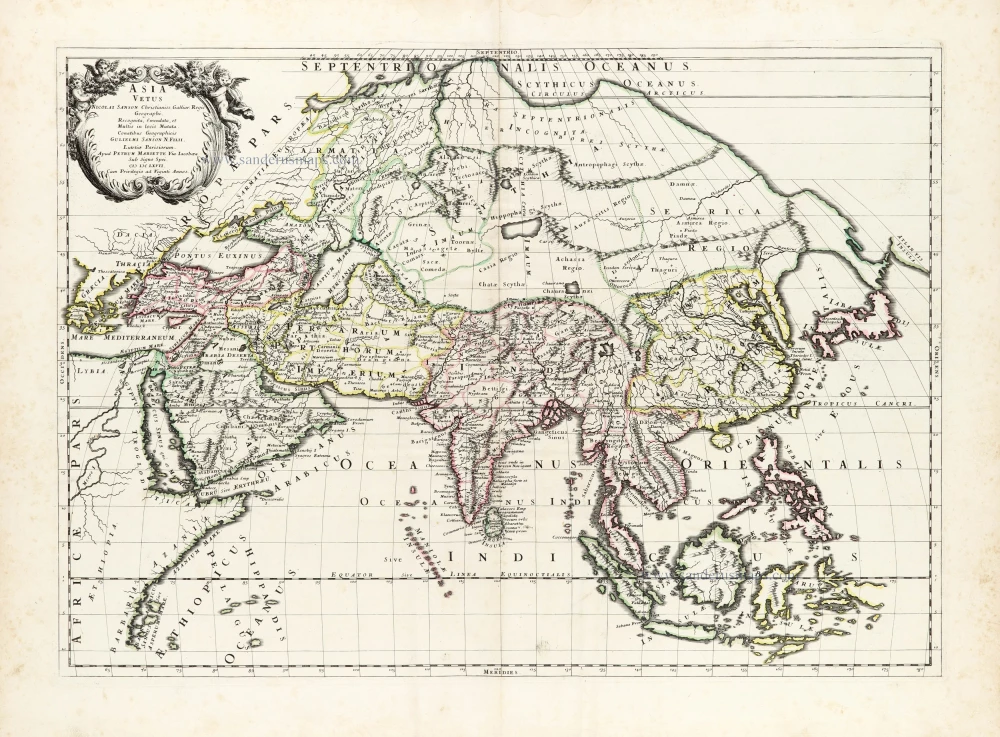
Asia Vetus. 1667-69
Ancient Asia by Nicolas & Guillaume Sanson.
[Item number: 30002]
Asia Cum omnibus Imperiis Provinciis, Statibus et Insulis Iuxta Observationes receentissimas et Accuratissimas Correcta et Adornata. 1728
Asia by Matthäus Seutter.
[Item number: 30201]

Asia Antiqua cum finitimis Africae et Europae Regionibus. 1675
Antique map of Asia by Janssonius à Waesberghe -
[Item number: 30385]
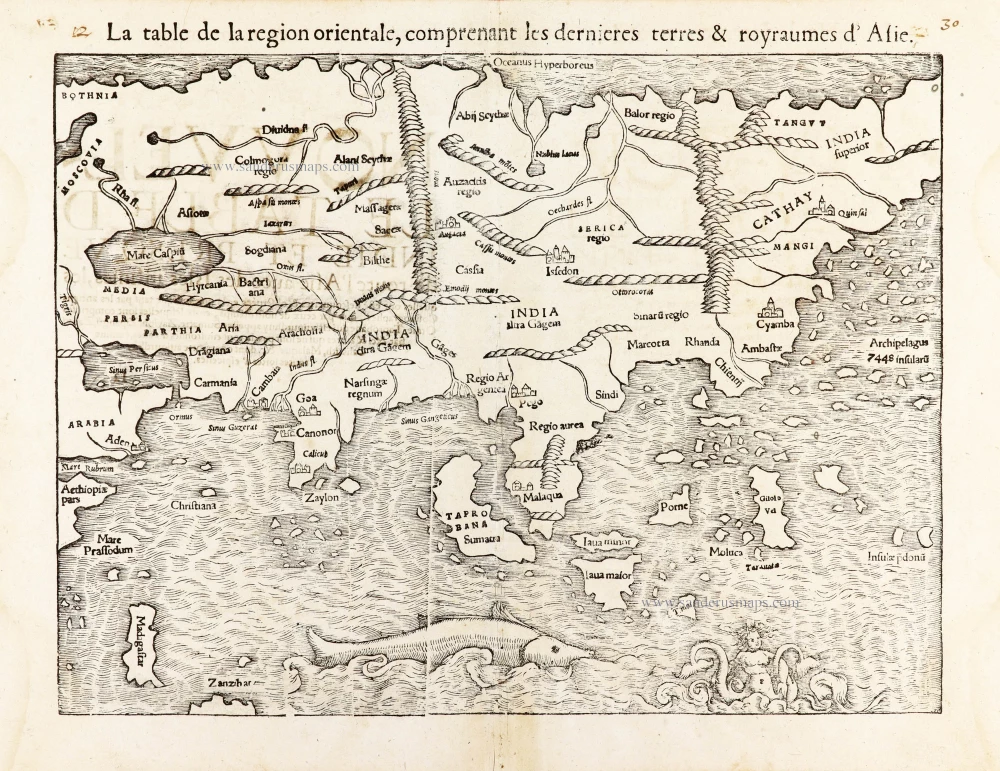
La table de la region orientale, comprenant les derniered terres & royraumes d'Asie. 1568
Asia by Sebastian Munster.
[Item number: 30528]

L'Asie divisée en ses Principales Regions, et ou se peut voir l'estendue Des Empites, Monarchies, Royaumes, et Estats qui partagent présentement L'Asie. 1692
Asia, by N. Sanson, so-called published by Hubert Jaillot. (Pirated edition by Pierre Mortier).
[Item number: 31140]