
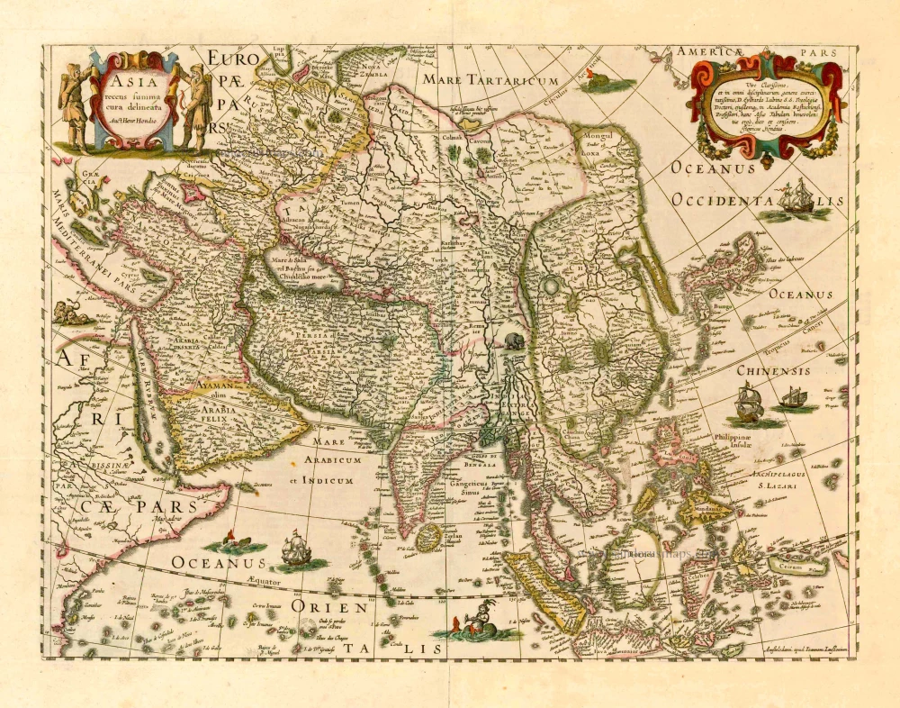
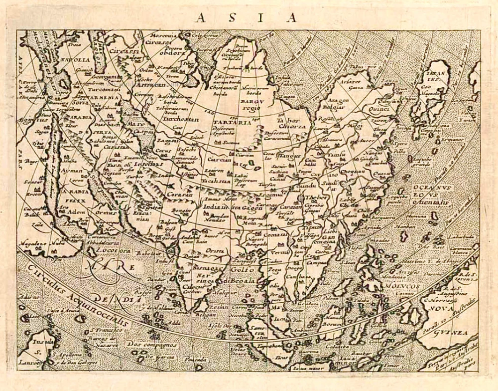
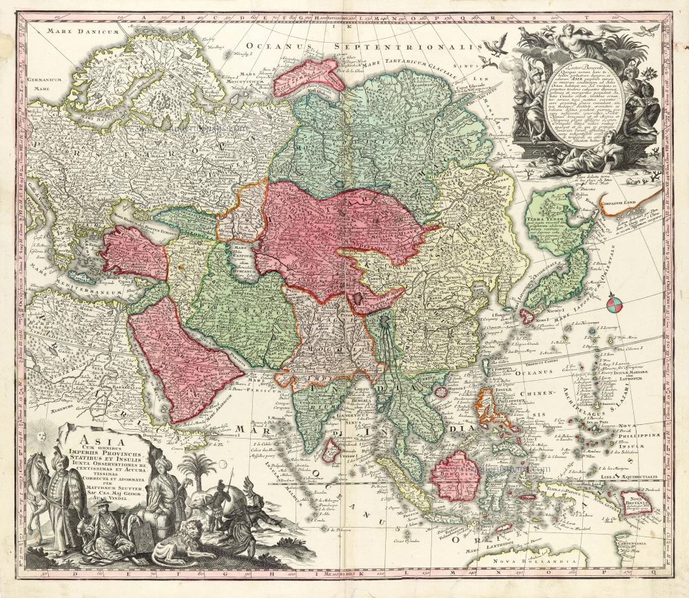
Asia by A.F. Zürner, published by Petrus Schenk. c. 1700


Adam Friedrich Zürner (1679-1742)
A.F. Zürner made his first maps during his studies in Leipzig. In 1713, Elector August dem Starken gave him the order to bring all offices of the Electorate of Saxony in the same way as the two maps of the offices of Großenhain and Dresden. Zürner was supposed to complete the electorate survey, which was begun in 1586 by Matthias Oeder under Elector Christian I.
In 1716 he was awarded the title of "Electoral Saxon and Royal Polish Geographer". In the same year, he was appointed a member of the Prussian Academy of Sciences. Finally, in the late autumn of 1718, he presented his "New Chursächsische Post-Charte".
The geographer Johann Gottfried Gregorii alias Melissantes and the copper engraver Johann Christoph Weigel from Nuremberg used the good map material and Zürner's signature system as early as 1723 to create the continuous Atlas Portatilis Germanicus.
In addition to his surveying work, Zürner wrote several travel guides in the last years of his life. He worked, among others, with the Homann Heirs firm and the Schenk family. He died on December 18, 1742, in Dresden.
Today he is considered a well-known German cartographer. His best-known works were the Neue Chursächsische Post-Charte (16 sheets) and the Atlas Augusteus der Chursächsische Lande (Atlas Augusteus Saxonicus: 40 general and 40 special maps).
The Schenk Family
Petrus Schenk (1660-1718), the founder of one of the best-known publishing firms of Amsterdam in the 18th century, was born in Elberfeld, Germany, in 1660. He went to Amsterdam where he became a pupil of the engraver Gerard Valck. On 19 Nov. 1686, a privilegio was granted to Petrus Schenk and Gerard Valk for the manufacturing and selling of their prints. Schenk’s contribution to cartography dates from c. 1695. In 1706 he moved to the Vijgendam in Amsterdam, ‘in Sanson’s Atlas’. After he died in 1718 his son, Leonardus Schenk, continued the art and print shop. The second son, Petrus II, settled in another famous house: ‘in Visscher’s Atlas’ where he continued the association with Gerard and Leonarus Valck.
The Schenk family produced general geographical atlases and special atlases. Apart from seventy original maps, several hundred are known with the name of Schenk, which were printed from plates obtained from Janssonius and Visscher. Schenk and Valck acquired all the plates of the Janssonius Heir’s Novus Atlas, Celestial atlas included. Many of Janssonius’ plates were reworked and amended.
The republishing of the maps from Janssonius’ Novus Atlas since c. 1680 was followed by the engraving of new maps, copied from Sanson’s better and more modern maps. Petrus Schenk published these maps in his Atlas Contractus sive mapparum geographicarum Sansoniarum auctarum et correctum Nova Congeries, also called Atlas Minor. After 1719, Petrus Schenk II continued the Atlas Contractus.
Petrus Schenk, the elder, enjoyed great fame as a print-seller and artist among art-and print-dealers in the whole of Europe. The great activity in map publishing, displayed by Petrus Schenk, the elder, was continued by his son and grandson. But the number of original atlas-maps is small. Like his father, who bought the copperplates of Janssonius’ atlas, Petrus Schenk II bought many of the plates formerly owned by Nicolaas Visscher.
Apart from the globes, maps and atlases, Petrus Schenk II published many books. He was older men of the booksellers guild in 1733.
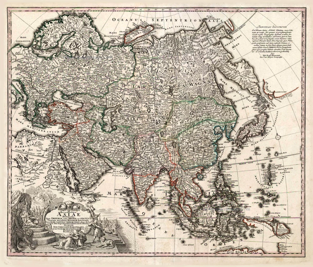
Asiae in Tabula Geographica Delineatio.
Item Number: 25842 Authenticity Guarantee
Category: Antique maps > Asia > Asia
Old, antique map of Asia, by Zürner A.F., publisched by Petrus Schenk.
Title: Asiae in Tabula Geographica Delineatio.
admentem Novissimorum eorumq optimorum Geographorum emendata ...
Opera A.F. Zürneri Reg: Maj: ...
Ex Officina Petri Schenkii.
in platea vulgo de Warimoes straat sub signo N. Visschers athlas.
Cartographer: A.F. Zürner .
Copper engraving, printed on paper.
Size (not including margins): 500 x 575mm (19.69 x 22.64 inches).
Verso: Blank.
Condition: Original coloured, excellent.
Condition Rating: A+.
References: Tibbetts, #206
From: Schenk, Atlas Contractus sive Mapparum Geographicarum Sansoniarum auctarum et Correctarum. Amsterdam, c. 1700. (Koeman, Sche 2)
Adam Friedrich Zürner (1679-1742)
A.F. Zürner made his first maps during his studies in Leipzig. In 1713, Elector August dem Starken gave him the order to bring all offices of the Electorate of Saxony in the same way as the two maps of the offices of Großenhain and Dresden. Zürner was supposed to complete the electorate survey, which was begun in 1586 by Matthias Oeder under Elector Christian I.
In 1716 he was awarded the title of "Electoral Saxon and Royal Polish Geographer". In the same year, he was appointed a member of the Prussian Academy of Sciences. Finally, in the late autumn of 1718, he presented his "New Chursächsische Post-Charte".
The geographer Johann Gottfried Gregorii alias Melissantes and the copper engraver Johann Christoph Weigel from Nuremberg used the good map material and Zürner's signature system as early as 1723 to create the continuous Atlas Portatilis Germanicus.
In addition to his surveying work, Zürner wrote several travel guides in the last years of his life. He worked, among others, with the Homann Heirs firm and the Schenk family. He died on December 18, 1742, in Dresden.
Today he is considered a well-known German cartographer. His best-known works were the Neue Chursächsische Post-Charte (16 sheets) and the Atlas Augusteus der Chursächsische Lande (Atlas Augusteus Saxonicus: 40 general and 40 special maps).
The Schenk Family
Petrus Schenk (1660-1718), the founder of one of the best-known publishing firms of Amsterdam in the 18th century, was born in Elberfeld, Germany, in 1660. He went to Amsterdam where he became a pupil of the engraver Gerard Valck. On 19 Nov. 1686, a privilegio was granted to Petrus Schenk and Gerard Valk for the manufacturing and selling of their prints. Schenk’s contribution to cartography dates from c. 1695. In 1706 he moved to the Vijgendam in Amsterdam, ‘in Sanson’s Atlas’. After he died in 1718 his son, Leonardus Schenk, continued the art and print shop. The second son, Petrus II, settled in another famous house: ‘in Visscher’s Atlas’ where he continued the association with Gerard and Leonarus Valck.
The Schenk family produced general geographical atlases and special atlases. Apart from seventy original maps, several hundred are known with the name of Schenk, which were printed from plates obtained from Janssonius and Visscher. Schenk and Valck acquired all the plates of the Janssonius Heir’s Novus Atlas, Celestial atlas included. Many of Janssonius’ plates were reworked and amended.
The republishing of the maps from Janssonius’ Novus Atlas since c. 1680 was followed by the engraving of new maps, copied from Sanson’s better and more modern maps. Petrus Schenk published these maps in his Atlas Contractus sive mapparum geographicarum Sansoniarum auctarum et correctum Nova Congeries, also called Atlas Minor. After 1719, Petrus Schenk II continued the Atlas Contractus.
Petrus Schenk, the elder, enjoyed great fame as a print-seller and artist among art-and print-dealers in the whole of Europe. The great activity in map publishing, displayed by Petrus Schenk, the elder, was continued by his son and grandson. But the number of original atlas-maps is small. Like his father, who bought the copperplates of Janssonius’ atlas, Petrus Schenk II bought many of the plates formerly owned by Nicolaas Visscher.
Apart from the globes, maps and atlases, Petrus Schenk II published many books. He was older men of the booksellers guild in 1733.
Related items
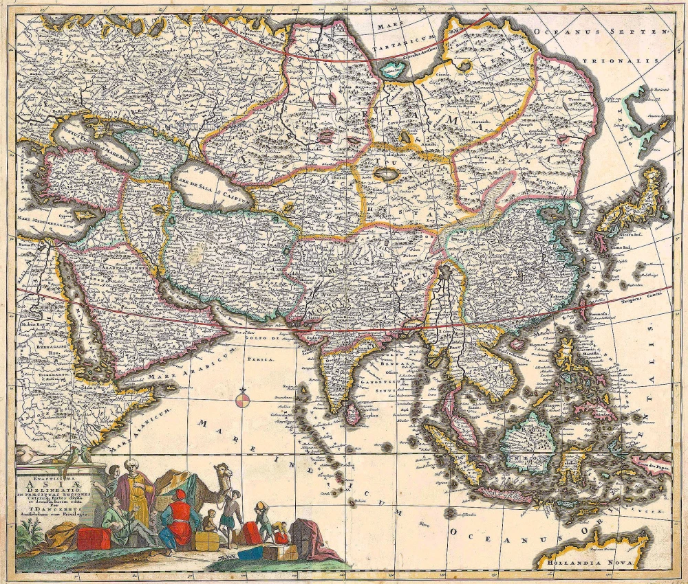
Asia Recens Summa Cura Delineata. 1644-58
Asia, by J. Janssonius
[Item number: 7508]

Accuratissima totius Asiae Tabula. c. 1691-96
Asia, by F. De Wit.
[Item number: 10960]
Exactissima Asiae Delineatio in praecipuas regiones Caeterasq Partes divisa. c. 1700
Asia by Th. Danckerts.
[Item number: 11298]
Asia 1602
Asia by Langenes, published by Bertius P.
[Item number: 12518]
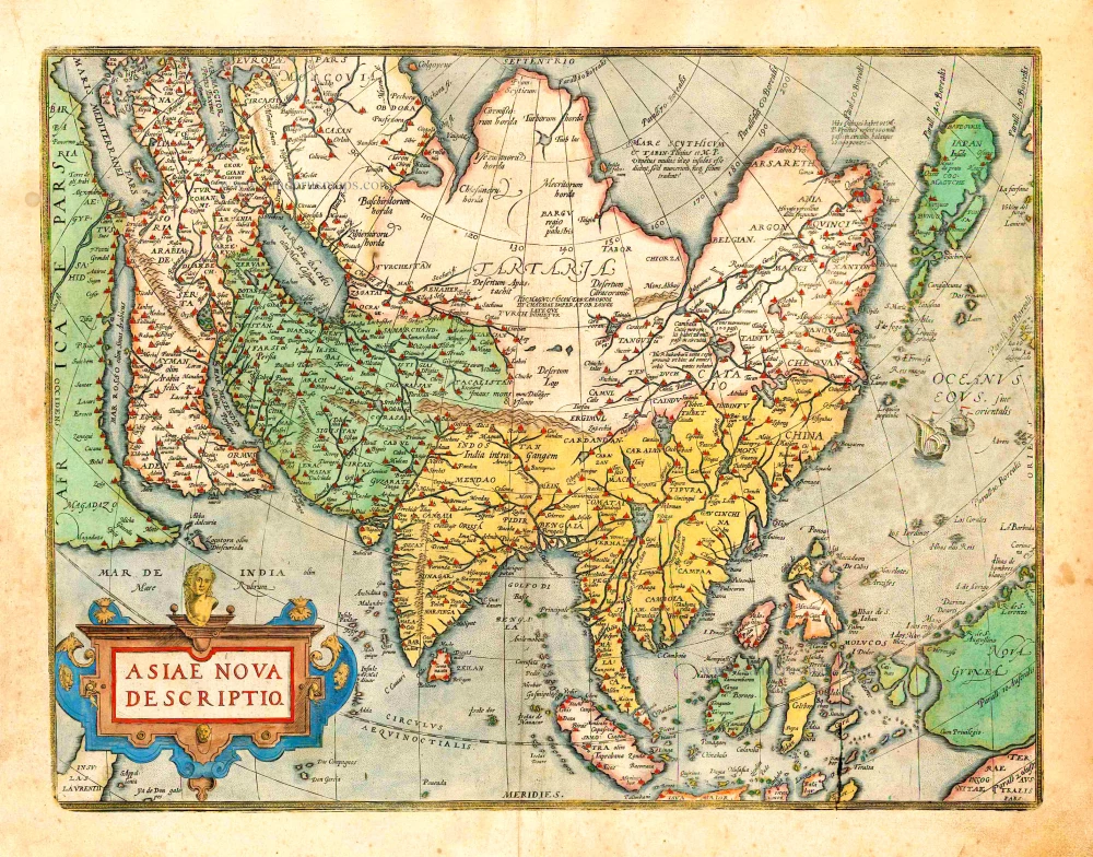
Asiae Nova Descriptio. 1612
Asia, by Abraham Ortelius.
[Item number: 22925]
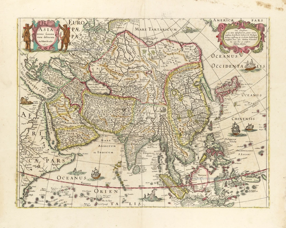
Asia Recens Summa Cura Delineata. 1639
ASIA by Hondius H.
[Item number: 24473]
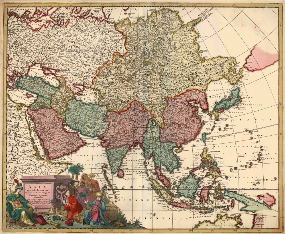
Asia qua Nulla Beatior Ora; Tractus in Eoos Vergens Mundique Teporem. c. 1730.
Asia, by G.& L. Valk.
[Item number: 24538]
Asia. 1597
Asia, by Giovanni Magini.
[Item number: 26548]
Recentissima Asiae Delineatio qua Imperia, ejus Regna et Status ... 1730-37
Asia, by Homann Johann Christoph.
[Item number: 26733]
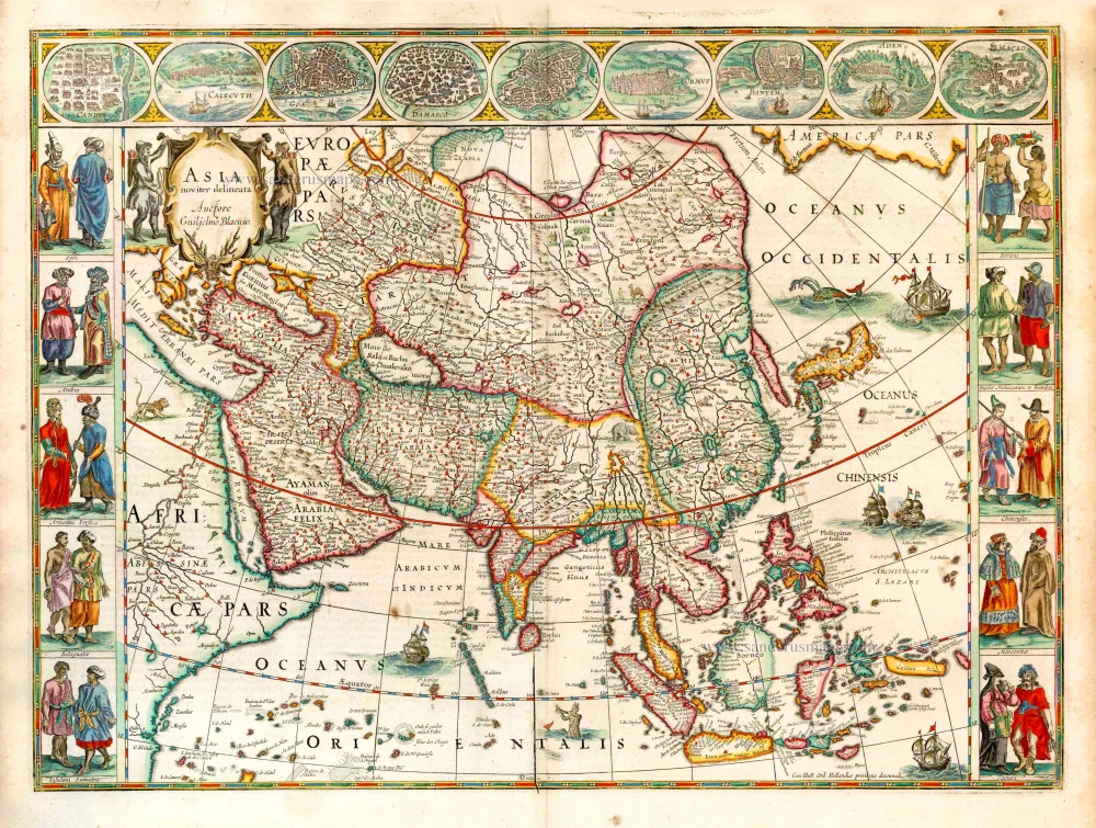
Asia Noviter Delineata. 1641-42
Asia, by Willem Blaeu.
[Item number: 27041]
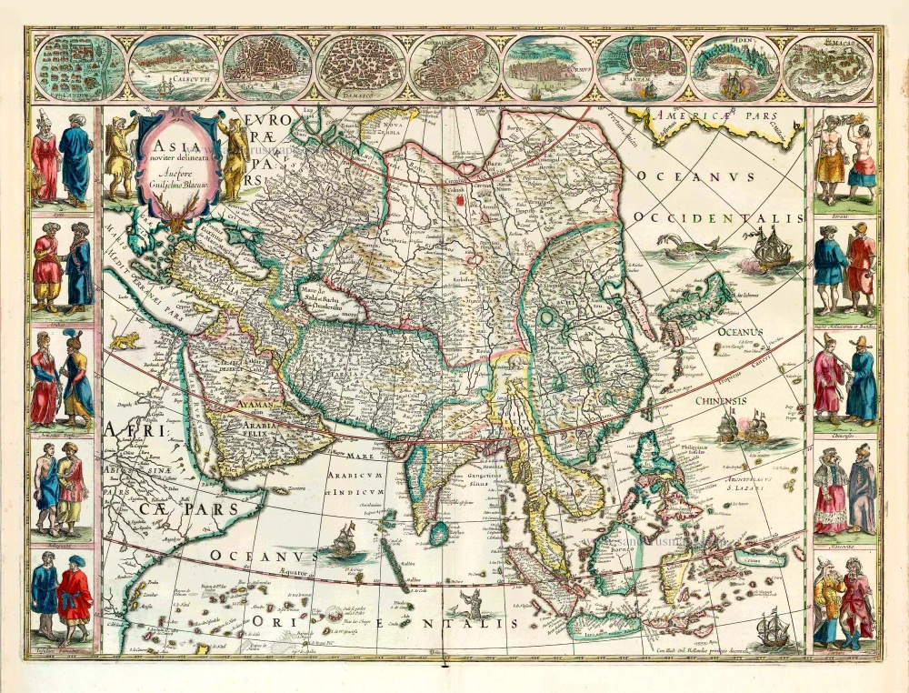
Asia Noviter Delineata. 1640
Old antique map of Asia, by Willem Blaeu.
[Item number: 27151]
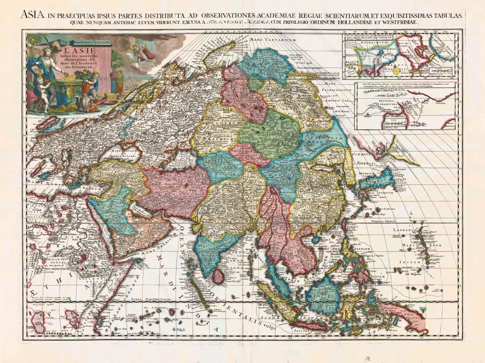
L'Asie Selon les Nouvelles Observations de Messrs. de l'Academie des Sciences, etc. Before 1713
Asia, by François Halma.
[Item number: 27851]
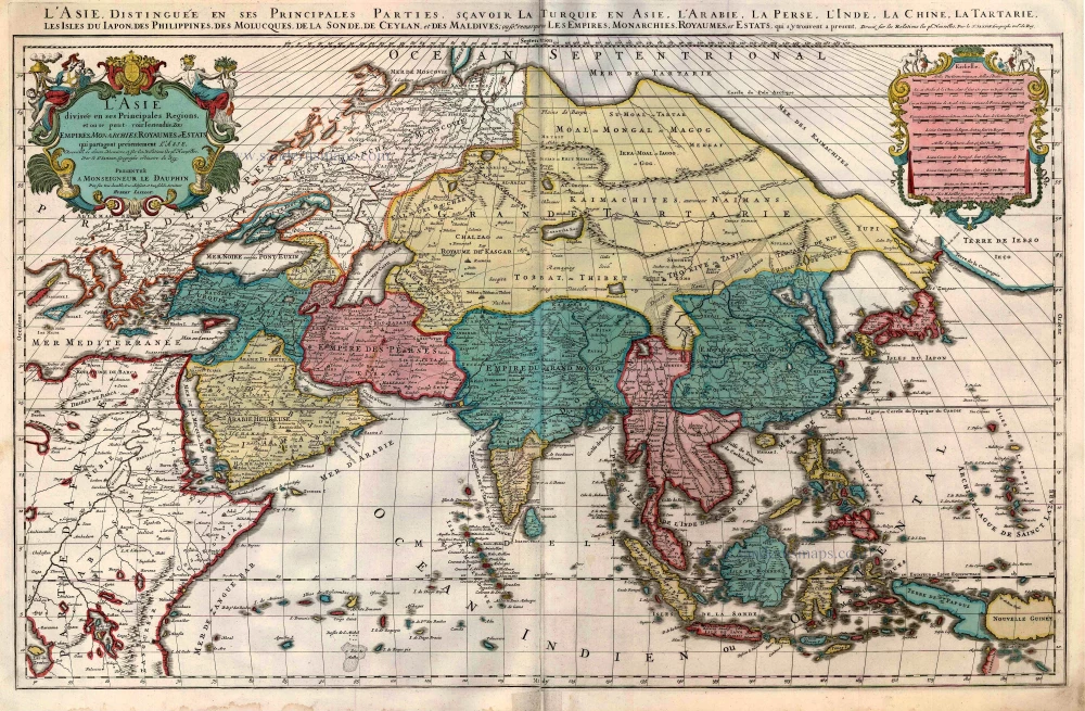
L'Asie divisée en ses Principales Regions, et ou se peut voir l'estendue Des Empites, Monarchies, Royaumes, et Estats qui partagent présentement L'Asie. c. 1705
Asia, by H. Jaillot, published by P. Mortier.
[Item number: 27858]
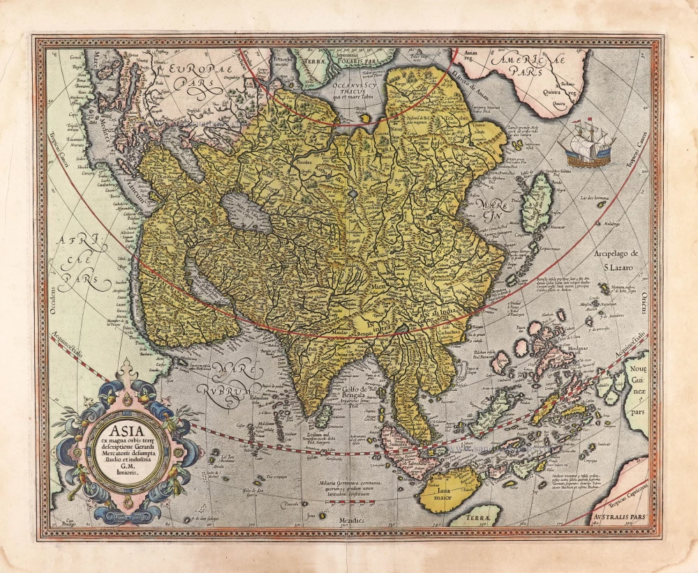
Asia ex magna orbis terre descriptione Gerardi Mercatoris desumpta studio et industria G.M. Iunioris. 1613
Asia, by Gerard Mercator.
[Item number: 28072]
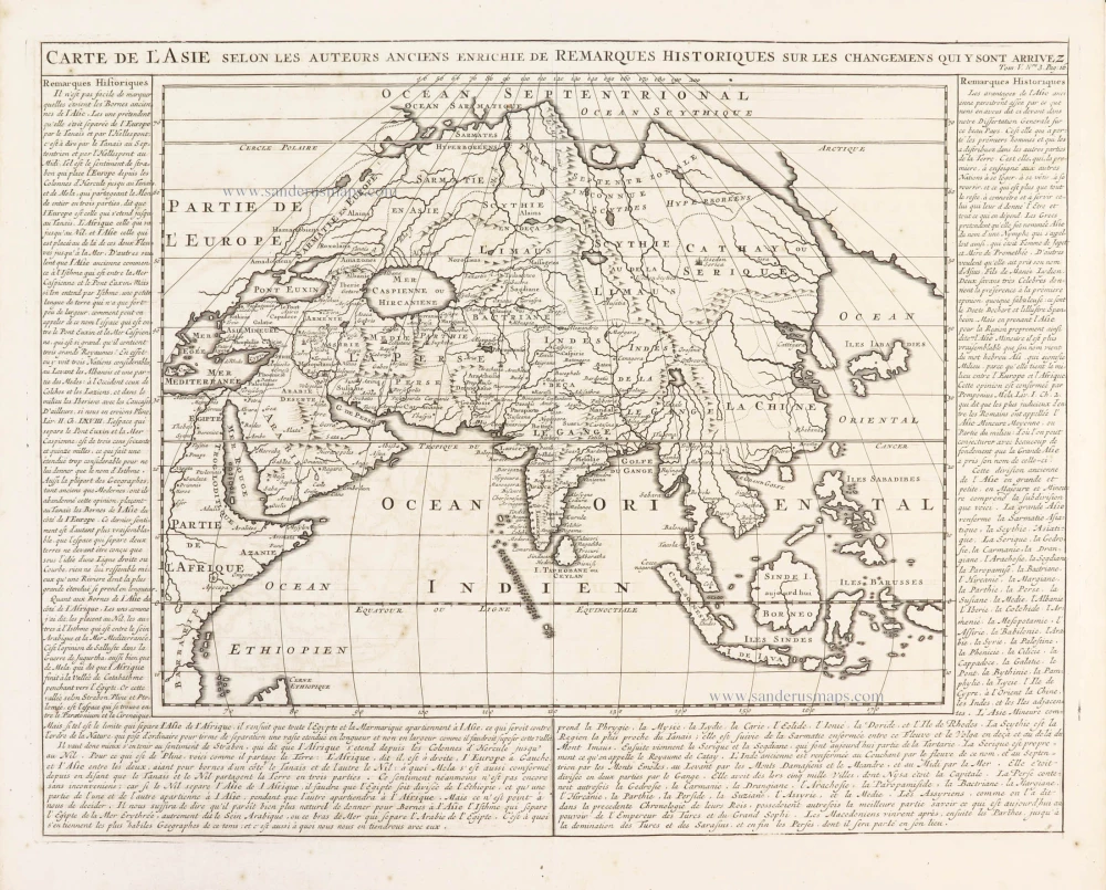
Carte de l'Asie selon les auteurs anciens enrichie de remarques historiques sur les changemens qui y sont arrivez. 1719
Asia, by Zacharias Châtelain.
[Item number: 29387]
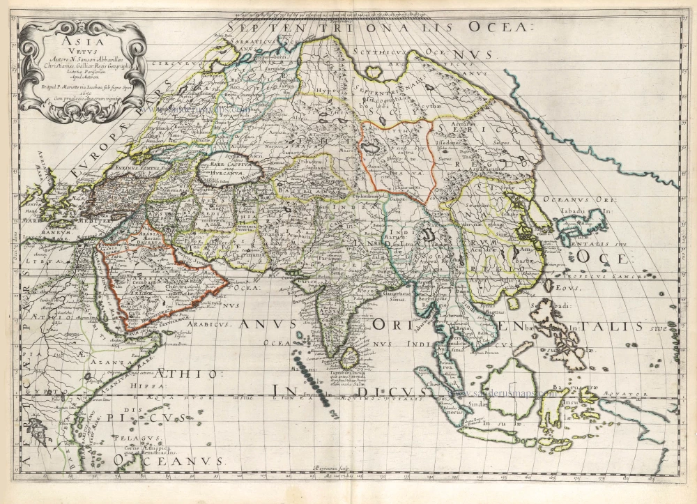
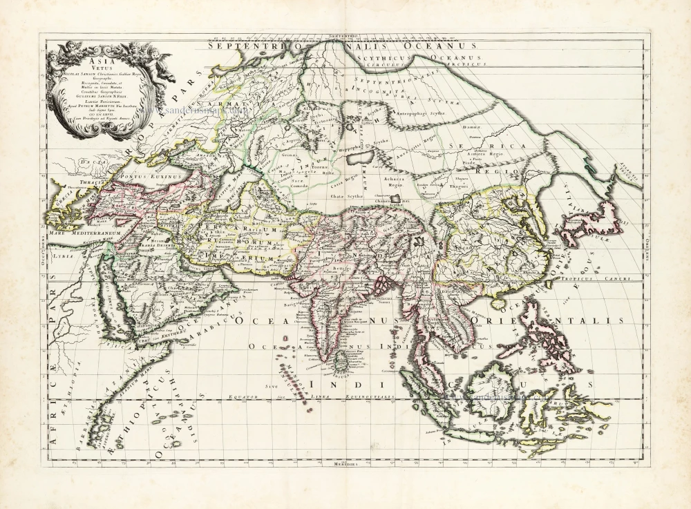
Asia Vetus. 1652
Ancient Asia by Nicolas Sanson.
[Item number: 29687]
Asia Vetus. 1667-69
Ancient Asia by Nicolas & Guillaume Sanson.
[Item number: 30002]
Asia Cum omnibus Imperiis Provinciis, Statibus et Insulis Iuxta Observationes receentissimas et Accuratissimas Correcta et Adornata. 1728
Asia by Matthäus Seutter.
[Item number: 30201]

Asia Antiqua cum finitimis Africae et Europae Regionibus. 1675
Antique map of Asia by Janssonius à Waesberghe -
[Item number: 30385]
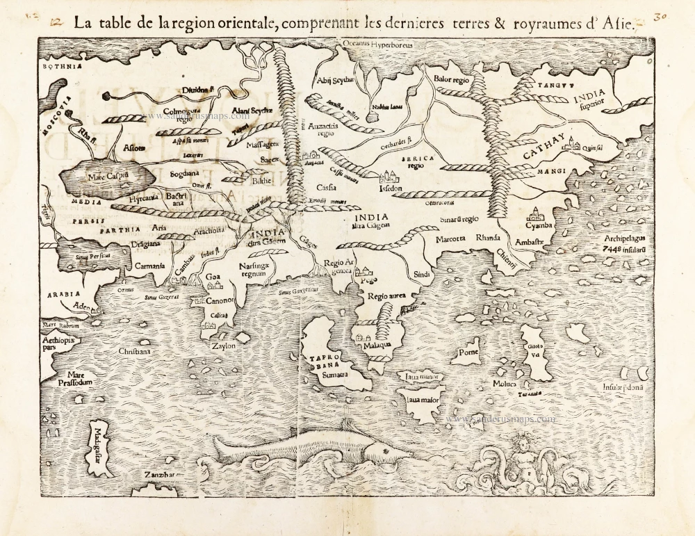
La table de la region orientale, comprenant les derniered terres & royraumes d'Asie. 1568
Asia by Sebastian Munster.
[Item number: 30528]