
Holy Land, by Georg Hornius. 1652
Georg Hornius (1620 - 1670)
Georg Hornius was born at Kemrath, Germany in 1620. He travelled in Germany and England and studied at the Universities of Groningen (1638) and Leiden (1644). In 1649, he wrote a thesis on theology at Leiden, after which he became professor of History and Geography at Harderwijk and in 1653 at Leiden. He wrote numerous works on Church history and geography. He died suddenly at Leiden in 1670, just when he was ready to accept the chair of professor at the University of Heidelberg.
The Janssonius Family
Joannes Janssonius (Arnhem, 1588-1664), son of the Arnhem publisher Jan Janssen, married Elisabeth Hondius, daughter of Jodocus Hondius, in Amsterdam in 1612. After his marriage, he settled down in this town as a bookseller and publisher of cartographic material. In 1618, he established himself in Amsterdam next door to Blaeu’s bookshop. He entered into serious competition with Willem Jansz. Blaeu when copying Blaeu’s Licht der Zeevaert after the expiration of the privilege in 1620. His activities concerned the publication of atlases, books, single maps, and an extensive book trade with branches in Frankfurt, Danzig, Stockholm, Copenhagen, Berlin, Koningsbergen, Geneva, and Lyon. In 1631, he began publishing atlases together with Henricus Hondius.
In the early 1640s, Henricus Hondius left the atlas publishing business to Janssonius. Competition with Joan Blaeu, Willem’s son and successor, in atlas production, prompted Janssonius to enlarge his Atlas Novus finally into a work of six volumes, into which a sea atlas and an atlas of the Old World were inserted. Other atlases published by Janssonius are Mercator’s Atlas Minor, Hornius’s historical atlas (1652), the townbooks in eight volumes (1657), Cellarius’s Atlas Coelestis and several sea atlases and pilot guides.
After the death of Joannes Janssonius, the shop and publishing firm were continued by the heirs under the direction of Johannes van Waesbergen (c. 1616-1681), son-in-law of Joannes Janssonius. Van Waesbergen added Janssonius's name to his own.
In 1676, Joannes Janssonius’s heirs sold by auction “all the remaining Atlases in Latin, French, High and Low German, as well as the Stedeboecken in Latin, in 8 volumes, bound and unbound, maps, plates belonging to the Atlas and Stedeboecken.” The copperplates from Janssonius’s atlases were afterwards sold to Schenk and Valck.
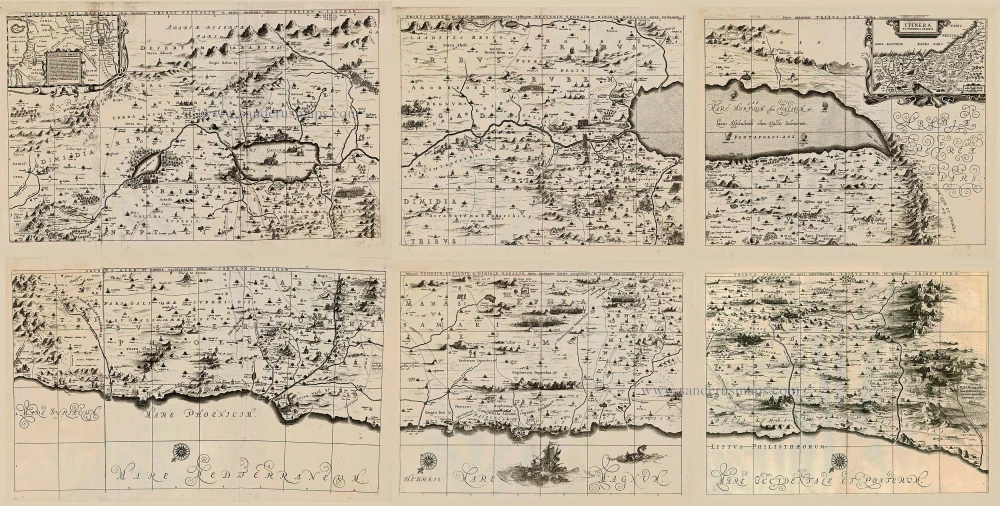
Dimida Tribus Manasse ... / Tribus Ruben, et Gad ... / Pars Maxima Tribus Iuda ... / Tribuum Ephraim ... / Tribus Aser ... / Tribus Simeon ...
Item Number: 27703 Authenticity Guarantee
Category: Antique maps > Asia > Holy Land
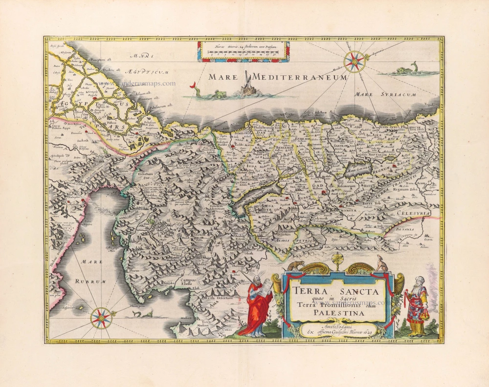
Old, antique map of Holy Land, by Georg Hornius.
Title: Dimida Tribus Manasse ... / Tribus Ruben, et Gad ... / Pars Maxima Tribus Iuda ... / Tribuum Ephraim ... / Tribus Aser ... / Tribus Simeon ...
Oriented to the southeast.
Cartographer: C. Adrichomius.
Date of the first edition: 1652.
Date of this map: 1652.
Copper engraving, printed on paper.
Size (not including margins): 840 x 1770mm (33.07 x 69.69 inches).
Verso: Blank.
Condition: Unjoined, uncoloured.
Condition Rating: A.
From: Hornius G. Accuratissima Orbis Antiqui Delineatio. Amsterdam, J. Janssonius, 1652. (Van der Krogt 1:601)
Georg Hornius (1620 - 1670)
Georg Hornius was born at Kemrath, Germany in 1620. He travelled in Germany and England and studied at the Universities of Groningen (1638) and Leiden (1644). In 1649, he wrote a thesis on theology at Leiden, after which he became professor of History and Geography at Harderwijk and in 1653 at Leiden. He wrote numerous works on Church history and geography. He died suddenly at Leiden in 1670, just when he was ready to accept the chair of professor at the University of Heidelberg.
The Janssonius Family
Joannes Janssonius (Arnhem, 1588-1664), son of the Arnhem publisher Jan Janssen, married Elisabeth Hondius, daughter of Jodocus Hondius, in Amsterdam in 1612. After his marriage, he settled down in this town as a bookseller and publisher of cartographic material. In 1618, he established himself in Amsterdam next door to Blaeu’s bookshop. He entered into serious competition with Willem Jansz. Blaeu when copying Blaeu’s Licht der Zeevaert after the expiration of the privilege in 1620. His activities concerned the publication of atlases, books, single maps, and an extensive book trade with branches in Frankfurt, Danzig, Stockholm, Copenhagen, Berlin, Koningsbergen, Geneva, and Lyon. In 1631, he began publishing atlases together with Henricus Hondius.
In the early 1640s, Henricus Hondius left the atlas publishing business to Janssonius. Competition with Joan Blaeu, Willem’s son and successor, in atlas production, prompted Janssonius to enlarge his Atlas Novus finally into a work of six volumes, into which a sea atlas and an atlas of the Old World were inserted. Other atlases published by Janssonius are Mercator’s Atlas Minor, Hornius’s historical atlas (1652), the townbooks in eight volumes (1657), Cellarius’s Atlas Coelestis and several sea atlases and pilot guides.
After the death of Joannes Janssonius, the shop and publishing firm were continued by the heirs under the direction of Johannes van Waesbergen (c. 1616-1681), son-in-law of Joannes Janssonius. Van Waesbergen added Janssonius's name to his own.
In 1676, Joannes Janssonius’s heirs sold by auction “all the remaining Atlases in Latin, French, High and Low German, as well as the Stedeboecken in Latin, in 8 volumes, bound and unbound, maps, plates belonging to the Atlas and Stedeboecken.” The copperplates from Janssonius’s atlases were afterwards sold to Schenk and Valck.
Related items
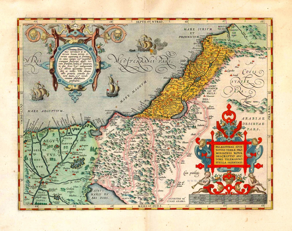
Palaestinae sive totius Terrae Promissionis nova descriptio Auctore Tilemanno Stella Sigenensi. 1624
Holy Land, by Abraham Ortelius.
[Item number: 1583]
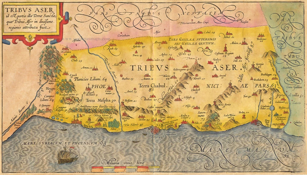
Tribus Aser 1590
The Holy Land, by Adrichomius C.
[Item number: 1891]
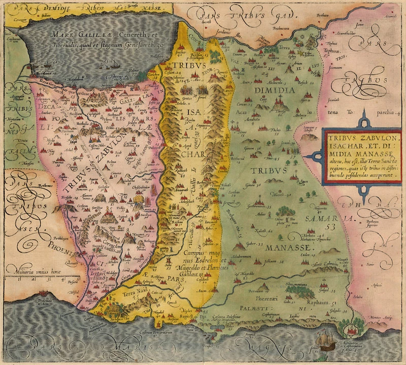
Tribus Zabulon, Isachar, Et, Dimidia Manasse ... 1590
Holy Land, by Adrichomius C.
[Item number: 1902]
Iudea, seu Terra Sancta quae Hebraeorum sive Israelitarum ... c. 1700
HOLY LAND by Schenk P.
[Item number: 19146]
Situs Terrae Promissionis. S.S. Bibliorum intelligentiam exacte aperiens per Chr. Adrichom. c. 1658
The Holy Land, by Janssonius J.
[Item number: 19521]
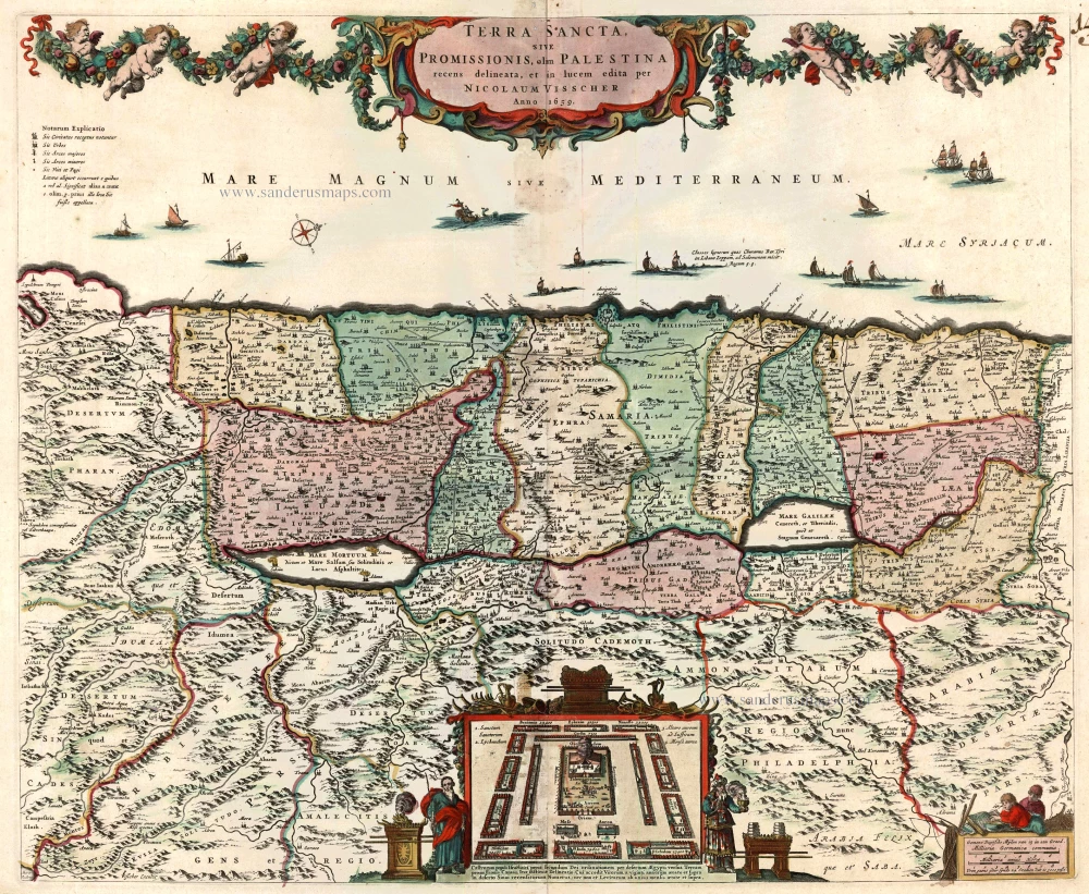
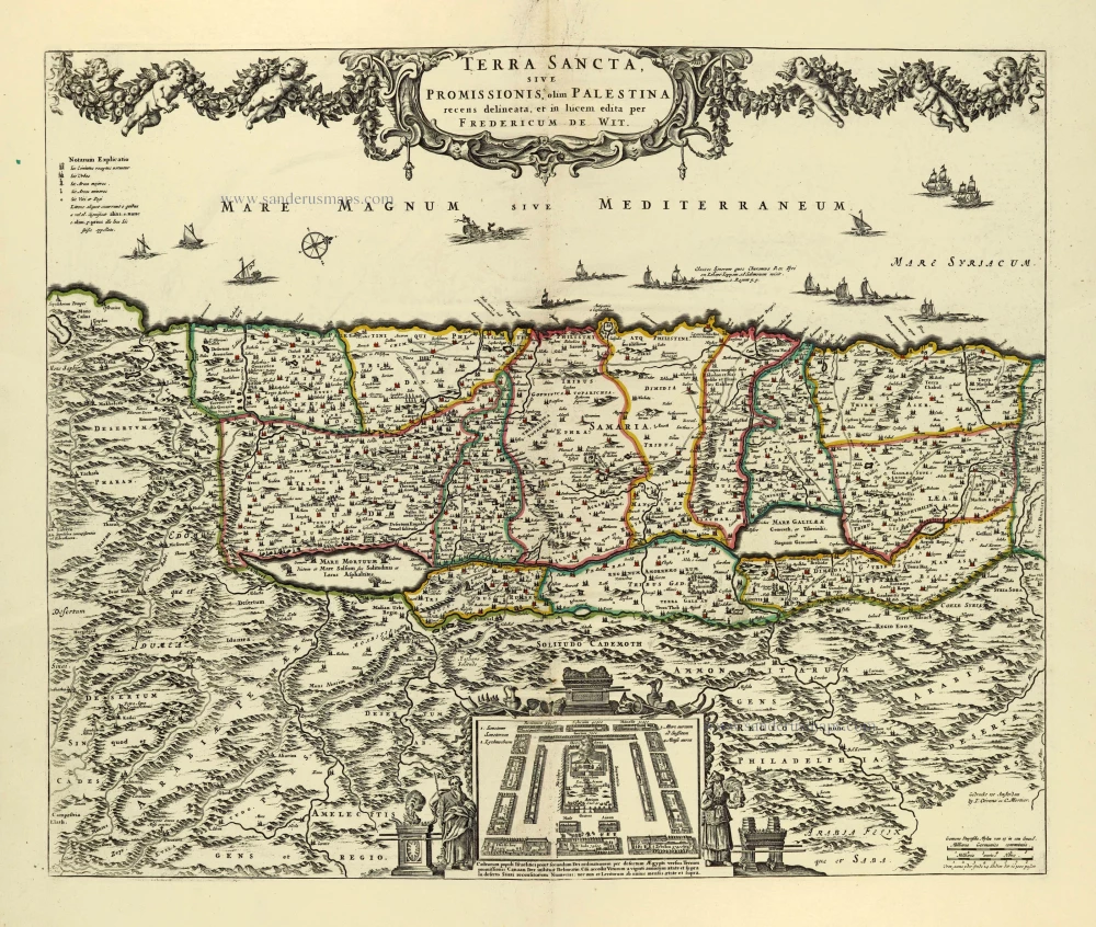
Terra Sancta, sive Promissionis, olim Palestina recens delineata. 1683-1696
The Holy Land, by Visscher N.
[Item number: 19522]
Terra Sancta, A Petro Laicstain perlustrata, et ab eius ore et schedisà Chistino Schrot in tabulam redacta. 1612
Holy Land by Abraham Ortelius.
[Item number: 23099]
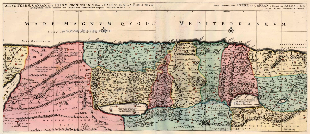
Situs Terrae Canaan sive Terrae Promissionis, hodie Palestinae, ... 1710
The Holy Land, by Jaillot - Covens & Mortier.
[Item number: 23600]
Terra Sancta, sive Promissionis, olim Palestina recens delineata. 1683-1696
The Holy Land by Nicolaas Visscher
[Item number: 24441]
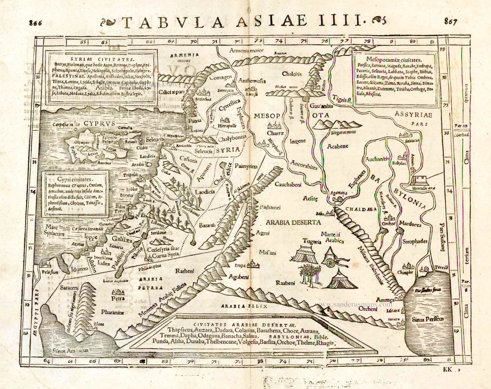
Tabula Asiae IIII. 1571
Middle East - Cyprus - Holy Land by Strabo - Sebastian Münster
[Item number: 25653]
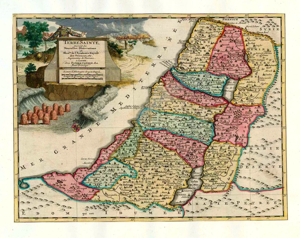
Terre Sainte Suivant les Nouvelles Observations. 1713
The Holy Land, by Pieter van der Aa.
[Item number: 26110]
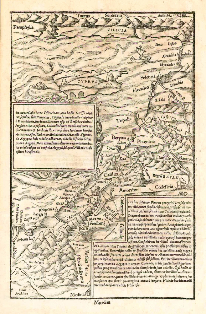
In monte Casio iuxta Ostracinam, ... 1550
Cyprus and the Holy Land, by Sebastian Münster.
[Item number: 27073]
Terra Sancta, sive Promissionis, olim Palestina. after 1721
Holy Land by Frederik de Wit, published by Covens & Mortier.
[Item number: 28329]
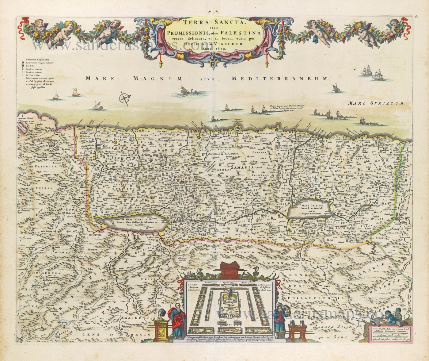
Terra Sancta, sive Promissionis, olim Palestina recens delineata. 1664-80
The Holy Land by Nicolaas Visscher.
[Item number: 28582]
Parergon map
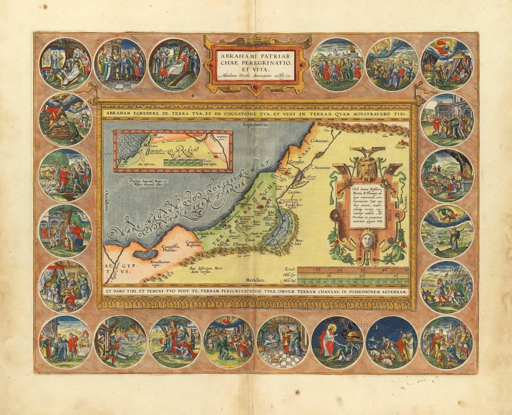
Abrahami Patriarchae Peregrinatio, et Vita. 1612
The Holy Land by Abraham Ortelius.
[Item number: 28921]
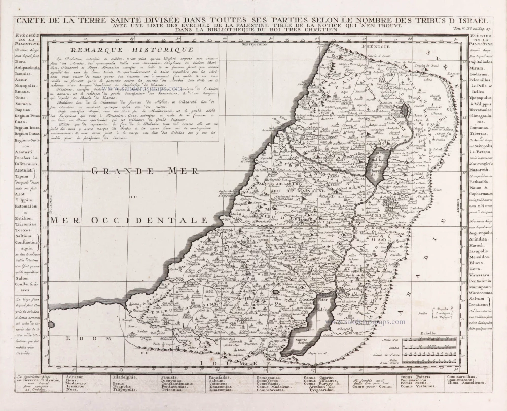
Carte de la Terre Sainte Divisée dans Toutes ses Parties selon le nombre des Tribus d'Israel. 1719
Holy Land, by Zacharias Châtelain.
[Item number: 29383]
Luxury colour
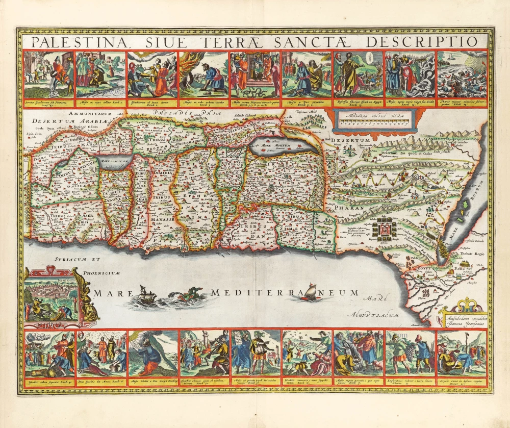
Palestina, sive Terrae Sanctae Descriptio. 1666
The Holy Land by Joannes Janssonius.
[Item number: 29972]
new
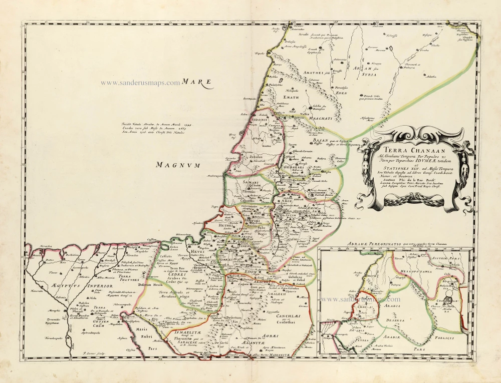
Terra Chanaan Ad Abrahami tempora, per populos XI Item per toparchias Idumeae Totidem et Stationes XLV. ad Mosis Tempora Seu Tabula digesta ad libros Genes. Exodi. Levit. Numer. et Deuteron. 1651
Historic map of the Land of Canaan from the time of Abraham up to the time of Moses, by Philippe de la Rue, published by Pierre Mariette.
[Item number: 30053]
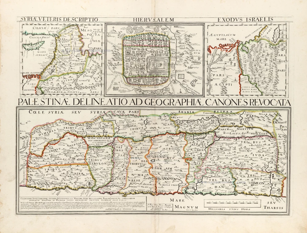
Palestinae Delineatio Ad Geographiae Canones Revocata. 1641
Holy Land - Jerusalem by Philippe Briet, published by Pierre Mariette.
[Item number: 30056]
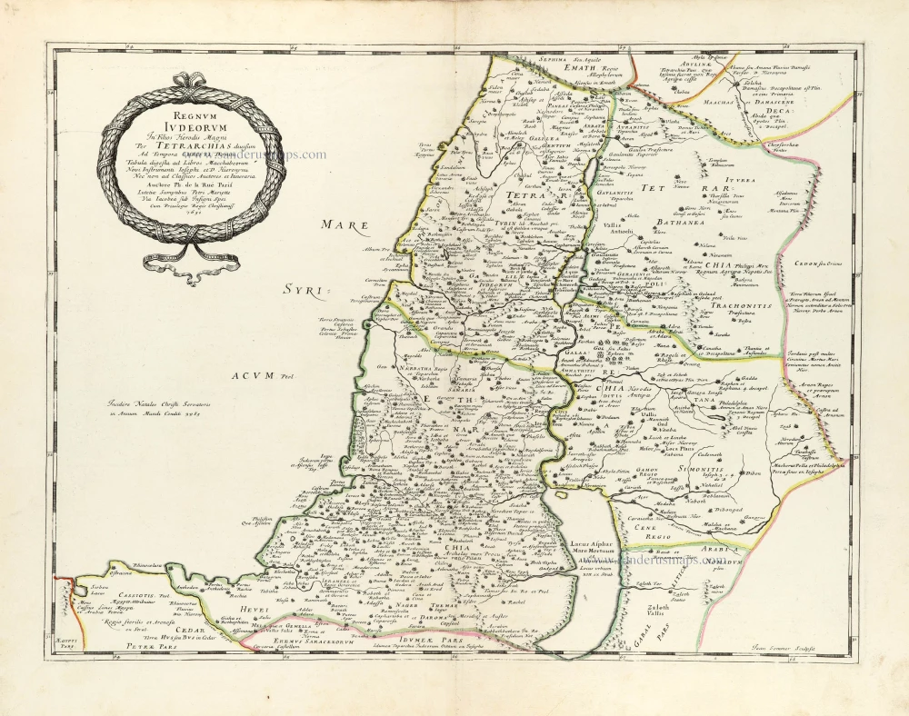
Regnum Iudeorum In Filios Herodis Magni. 1651
Historic map of the Kingdom of Judea in the time of Christ, by Philippe de la Rue, published by Pierre Mariette.
[Item number: 30060]
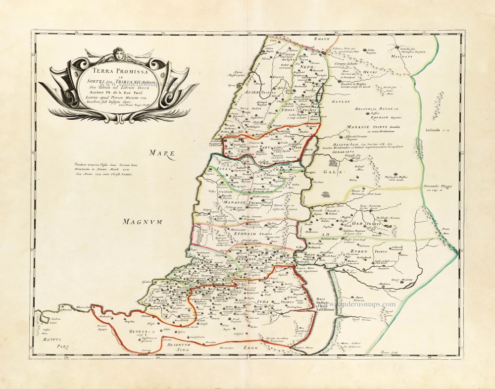
Terra Promissa in Sortes seu Tribus XII Distincta. 1651
The Promised Land divided among the 12 Tribes, by Philippe de la Rue, published by Pierre Mariette.
[Item number: 30061]
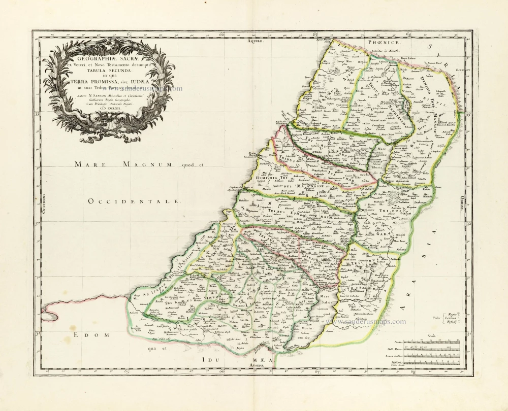
Geographiae Sacrae ex Veteri et Novo Testamento desumptae Tabula Secunda: in qua Terra Promissa, sive Iudaea in suas Tribus Partesq, distincta. 1665
Holy Land by Nicolas Sanson.
[Item number: 30105]
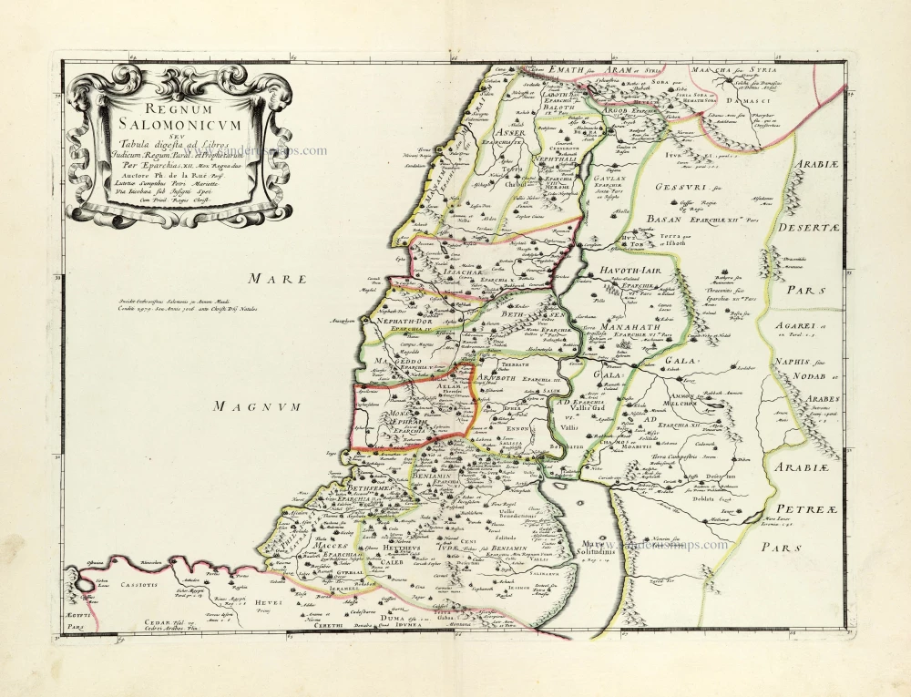
Regnum Salomonicum Seu Tabula digesta ad Libros Judicum, Regum, Paral. et Prophetarum. 1651
Historic map of the Kingdom of Solomon divided into 12 provinces, by Philippe de la Rue, published by Pierre Mariette.
[Item number: 30106]
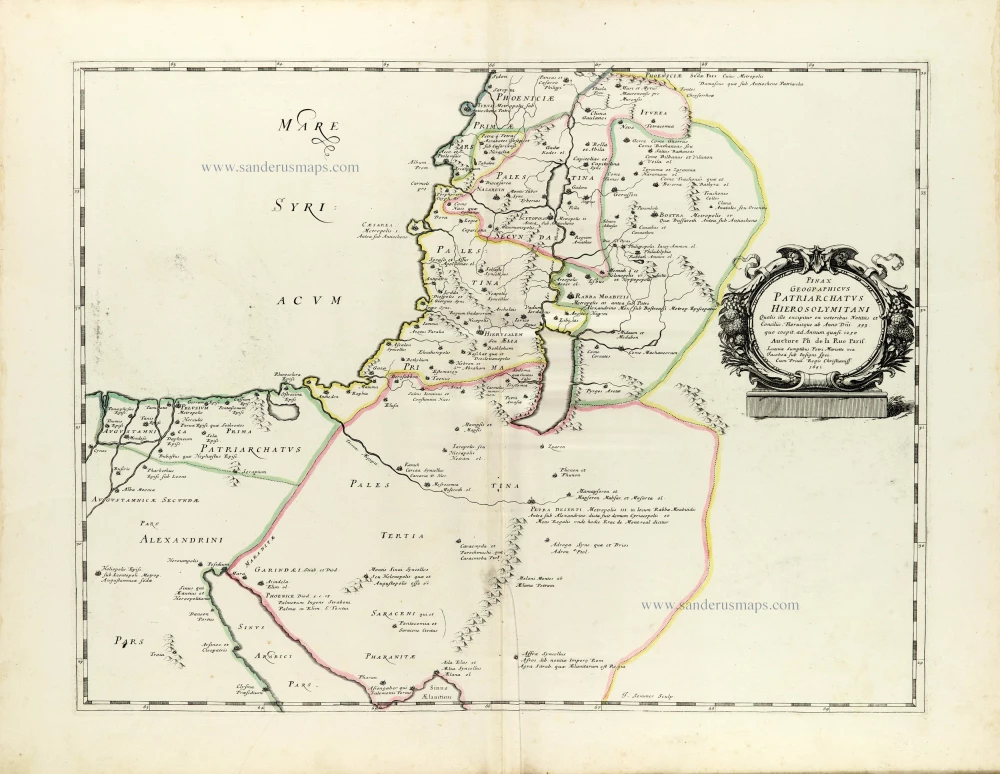
Pinax Geogpaphicus [sic] Patriarchatus Hierosolymitani [...] 1651
The Patriarchate of Jerusalem, by Philippe de la Rue, published by Pierre Mariette.
[Item number: 30120]
Superb old colouring, heightened with gold.
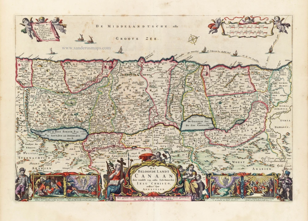
Het Beloofde Landt Canaan door wandelt van onsen Salichmaeker Iesu Christo, neffens syne Apostelen. 1663
Holy Land by Nicolaas Visscher.
[Item number: 30535]
Superb old colouring, heightened with gold.
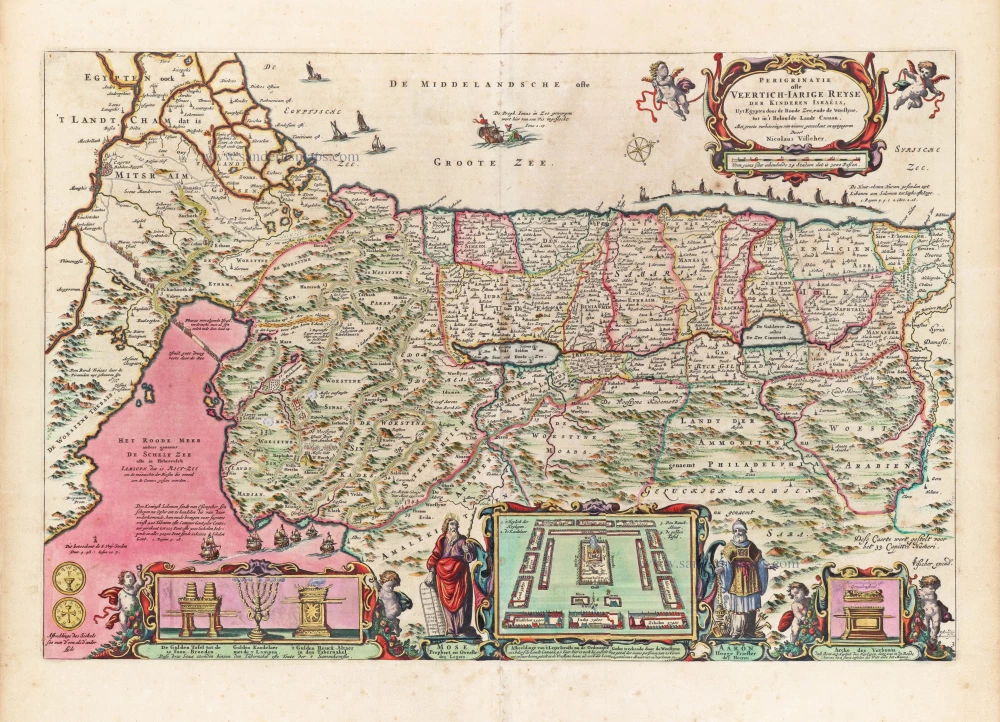
Perigrinatie ofte Veertigh-Iarige Reyse der Kinderen Israëls. 1663
Holy Land, by Nicolaes Visscher I.
[Item number: 30538]
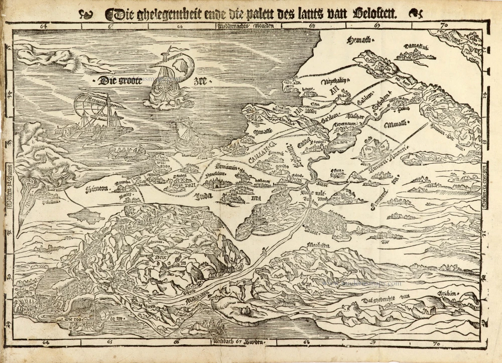
Holy Land map from the very rare van Liesveldt Bible
Die ghelegentheit ende die palen des lants van Beloften. 1532-1560
Holy Land by van Jacob van Liesveldt.
[Item number: 30549]
Terra Sancta quae in Sacris Terra Promissionis olim Palestina. 1645
Holy Land, by Willem Blaeu.
[Item number: 30914]
new