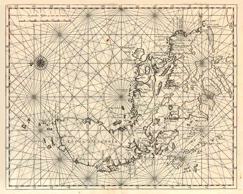
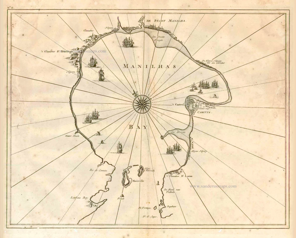
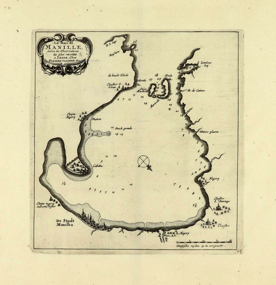
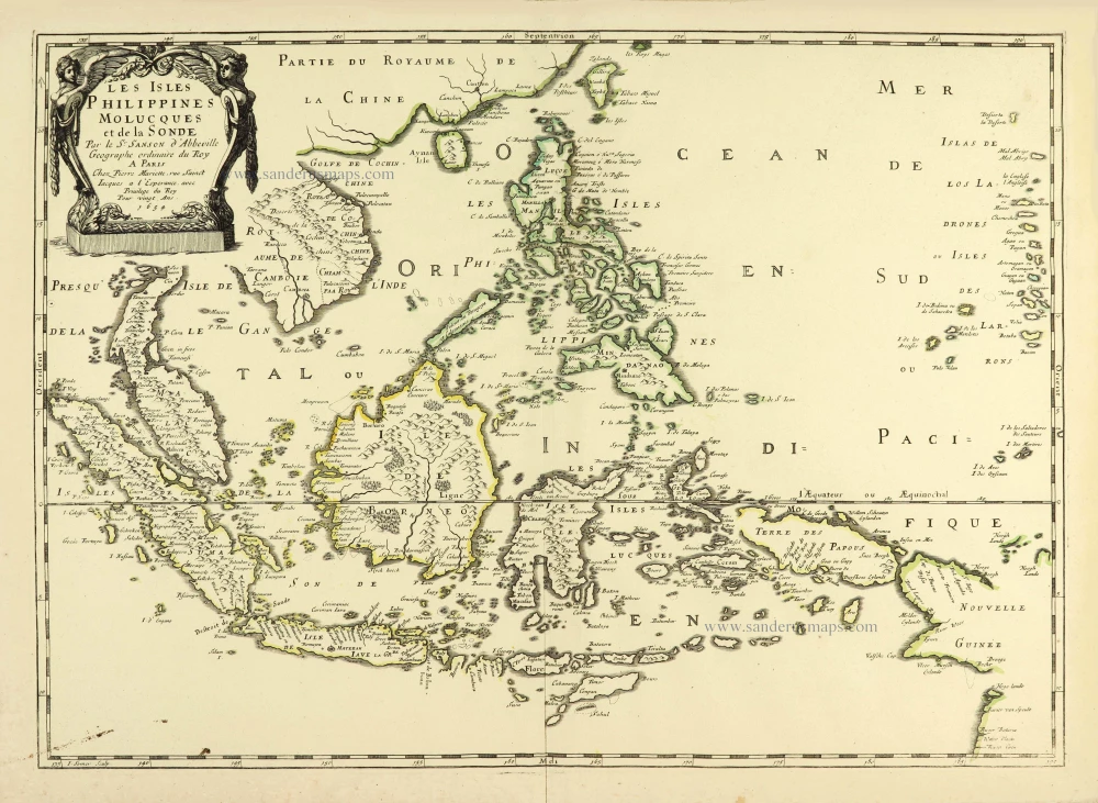
Philippines - Manila Strait by René Augustin Constantin de Renneville. 1725
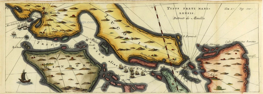
Chart of the Manila Strait showing the route through the Philippines. Includes the Islands of Kalusunan, Mindoro, Burias, Ticao, and Isla than Samar. With fleets of ships and boats. Reflects Spilbergen's discoveries.
René Augustin Constantin de Renneville. (1650-1723)
French writer, imprisoned in the Bastille 1702-1713.
Typus Freti Manilensis. - Détroit de Manilles.
Item Number: 28370 Authenticity Guarantee
Category: Antique maps > Asia > Southeast Asia
Old, antique map of Philippines - Manila Strait, by de Renneville René Augustin Constantin.
Title: Typus Freti Manilensis. - Détroit de Manilles.
Cartographer: Joris van Spilbergen.
Date of the first edition: 1719 (= Spilbergen).
Date of this map: 1725.
Copper engraving, printed on paper.
Size (not including margins): 150 x 425mm (5.91 x 16.73 inches).
Size (including margins): 158 x 440mm (6.22 x 17.32 inches).
Verso: Blank.
Condition: Hand coloured, folds as issued.
Condition Rating: A.
References: Not in Quirino.
From: de Renneville R. A. C. Recueil de Voyages... des Indes Orientales, formée dans les Provinces Unies des Pais-Bas. Amsterdam, J.F. Bernard, 1725. - Translation of Commelin's Dutch travel accounts.
Chart of the Manila Strait showing the route through the Philippines. Includes the Islands of Kalusunan, Mindoro, Burias, Ticao, and Isla than Samar. With fleets of ships and boats. Reflects Spilbergen's discoveries.
René Augustin Constantin de Renneville. (1650-1723)
French writer, imprisoned in the Bastille 1702-1713.

