
Philippines by Bonne Rigobert 1749

Rigobert Bonne (1729-1795)
Rigobert Bonne was a French cartographer considered one of the most important cartographers of the late 18th century.
He applied himself to physics, mathematics, geography, and for fifteen years, he was one of the most sought-after masters in Paris. Finally, in 1775, he succeeded Giovanni Rizzi-Zannoni as cartographer to the King of France in the Hydrographic Service of the Navy.
He produced maps for Father Raynal's works and the Methodical Encyclopedia of Nicolas Desmarest.
The work of Bonne is highly regarded for its detail, historical importance, and overall aesthetic appeal.
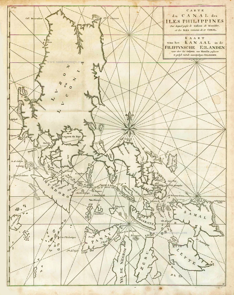
Carte du Canal des Iles Philippines par lequel Passe le Galion de Manille et les Iles Voisines de ce Canal.
Item Number: 26611 Authenticity Guarantee
Category: Antique maps > Asia > Southeast Asia
Old, antique map of the Philippines, by Rigobert Bonne.
Date of the first edition: 1749
Date of this map: 1749
Copper engraving, printed on paper.
Size (not including margins): 52.5 x 41.5cm (20.5 x 16.2 inches)
Verso: Blank
Condition: Folded as issued, excellent.
Condition Rating: A
References: Quirino, p. 76 & 138.
From a French travel book, according to Quirino published in 1749.
Rigobert Bonne (1729-1795)
Rigobert Bonne was a French cartographer considered one of the most important cartographers of the late 18th century.
He applied himself to physics, mathematics, geography, and for fifteen years, he was one of the most sought-after masters in Paris. Finally, in 1775, he succeeded Giovanni Rizzi-Zannoni as cartographer to the King of France in the Hydrographic Service of the Navy.
He produced maps for Father Raynal's works and the Methodical Encyclopedia of Nicolas Desmarest.
The work of Bonne is highly regarded for its detail, historical importance, and overall aesthetic appeal.
Related items
Carte du Canal des Iles Philippines par lequel Passe le Galion de Manille et les Iles Voisines de ce Canal. - Kaart van het Kanaal in de Filippynsche Eilanden waar door het Galjoen van Manilla passeert, tegelijk met de naast gelegen Eilanden. 1748
The Philippines, by George Anson.
[Item number: 27036]

Manilhas Bay. 1724-26
Philippine Islands - Manila Bay by François Valentyn (Valentijn)
[Item number: 27904]

La Baie de Manille. 1719
Manilla Bay, par Pieter van der Aa.
[Item number: 28115]

Typus Freti Manilensis. - Détroit de Manilles. 1725
Philippines - Manila Strait by René Augustin Constantin de Renneville.
[Item number: 28370]
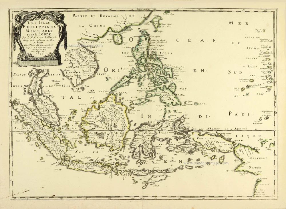
Les Isles Philippines Molucques et de la Sonde. 1658
Southeast Asia par Nicolas Sanson.
[Item number: 28378]
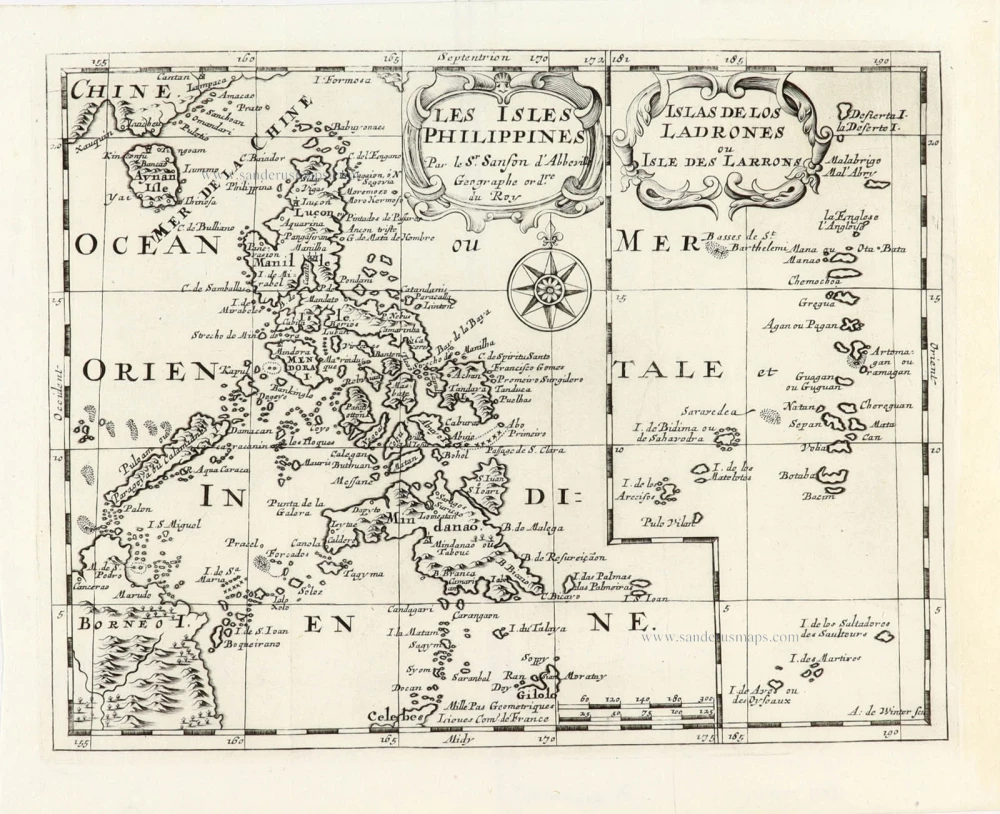
Les Isles Philippines [on sheet with] Islas de los Ladrones ou Isle des Larrons. 1747-74
Philippines, by Nicolas Sanson, published by Prevost d'Exiles.
[Item number: 30304]
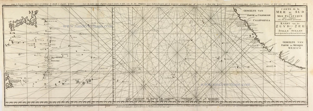
Carte de la Mer du Sud ou Mer Pacifique entre l'Equateur et le 39.5 de Latitude Septentrionale. - Kaart van de Zuyd-Zee of Stille Oceaan ... 1751
Map of the southern Pacific, showing a part of the path of George Anson's voyage around the world.
[Item number: 30609]
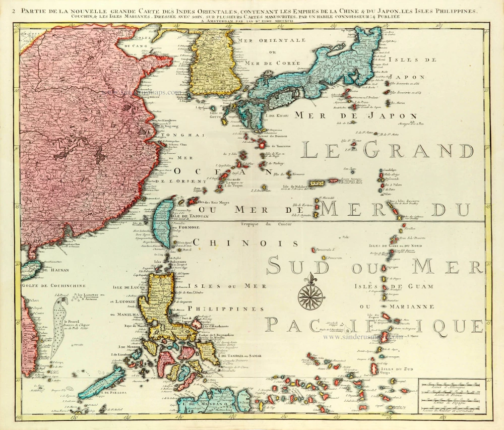
Partie de la Nouvelle Grande Carte des Indes Orientales Contenant les Empires de la Chine, du Japon, les Isles Philippines, Couchin, & les Isles Marianes, 1792
East Asia (Japan - Philippines) by J.B. Elwe.
[Item number: 31803]

Carte des Isles Philippines Celebes et Moluqes. 1747
Philippines, Moluccas, Borneo, and Sulawesi after J.N. Bellin, published by A.F. Prévost.
[Item number: 31881]
Scarce and important map
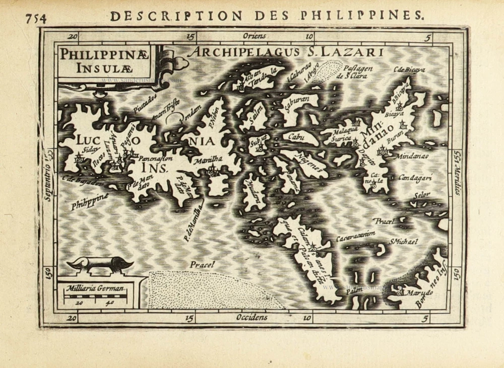
Philippinae Insulae. 1618
Philippines by Petrus Bertius.
[Item number: 32158]

Rare
Manual del viajero en Filipinas. 1875
Philippines, travel book by Ramon Gonzalez Fernandez & Federico Moreno y Jeréz
[Item number: 32605]