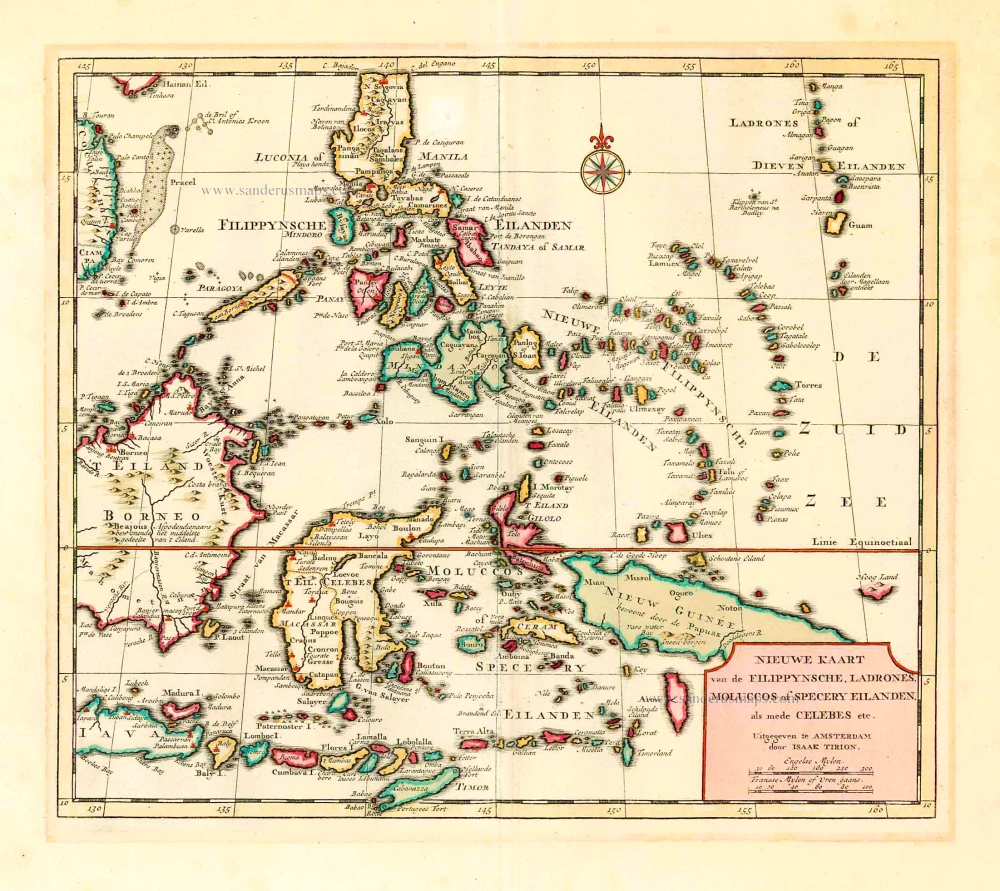
Philippines - Indonesia by Tirion I. 1744
Nieuwe Kaart van de Filippynsche, Ladrones, Moluccos of Specery Eilanden als mede Celebes, etc.
Item Number: 26584 Authenticity Guarantee
Category: Antique maps > Asia > Southeast Asia
Old, antique map of Philippines and a part of Indonesia, by I. Tirion.
Date of the first edition: 1744
Date of this map: 1744
Copper engraving, printed on paper.
Size (not including margins): 29 x 33.5cm (11.3 x 13.1 inches)
Verso: Blank
Condition: Original coloured, excellent.
Condition Rating: A+
References: Quirino, p.137-139.
From: Nieuwe Hand-Atlas, bestaande in eene Verzameling van eenige naauwkeurige Landkaarten ... Amsterdam, I. Tirion, 1744. (Koeman III, Tir 2)
Related items
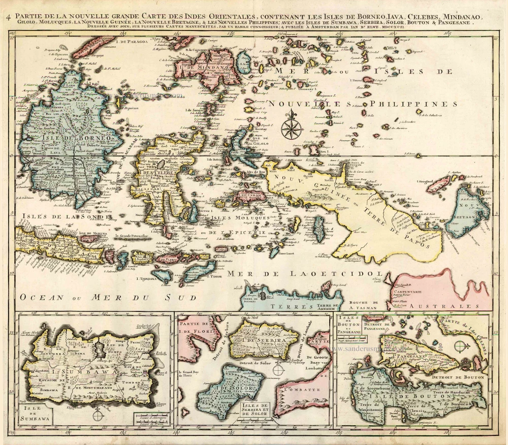
Partie de la Nouvelle Grande Carte des Indes Orientales, Contenant les Isles de Borneo, Iava, Celebes, Mindanao ... 1792
Indonesia - New Guinea - Australia by J.B. Elwe.
[Item number: 2293]
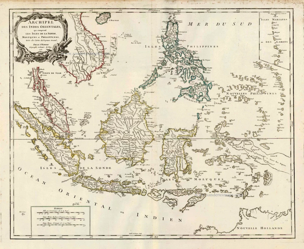
Archipel des Indes Orientales qui Comprend les Isles de la Sonde, Moluques et Philippines. c. 1757
Southeast Asia, par Robert de Vaugondy.
[Item number: 4751]
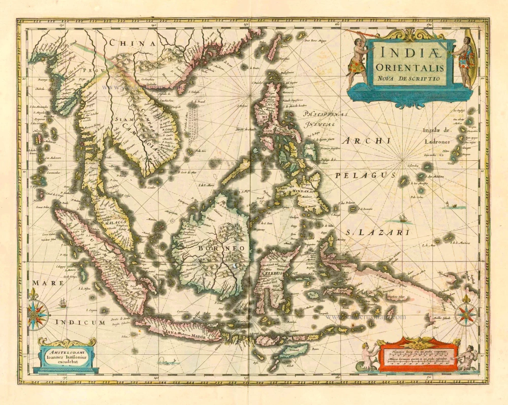
The most accurate and one of the most elegant 17th c. maps of the East Indies
Indiae Orientalis Nova Descriptio. 1644-58
Southeast Asia by Janssonius, Johannes
[Item number: 10013]
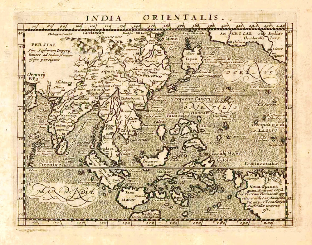
India Orientalis. 1597
Southeast Asia, by Giovanni Magini.
[Item number: 26521]

This map has the first accurate depiction of the Philippines
India quae Orientalis dicitur et Insulae Adiacentes. 1640-43
Southeast Asia by Willem & Joan Blaeu
[Item number: 26566]
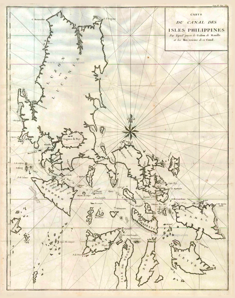
Carte du Canal des Iles Philippines par lequel Passe le Galion de Manille et les Iles Voisines de ce Canal. 1749
Philippines by Bonne Rigobert
[Item number: 26611]
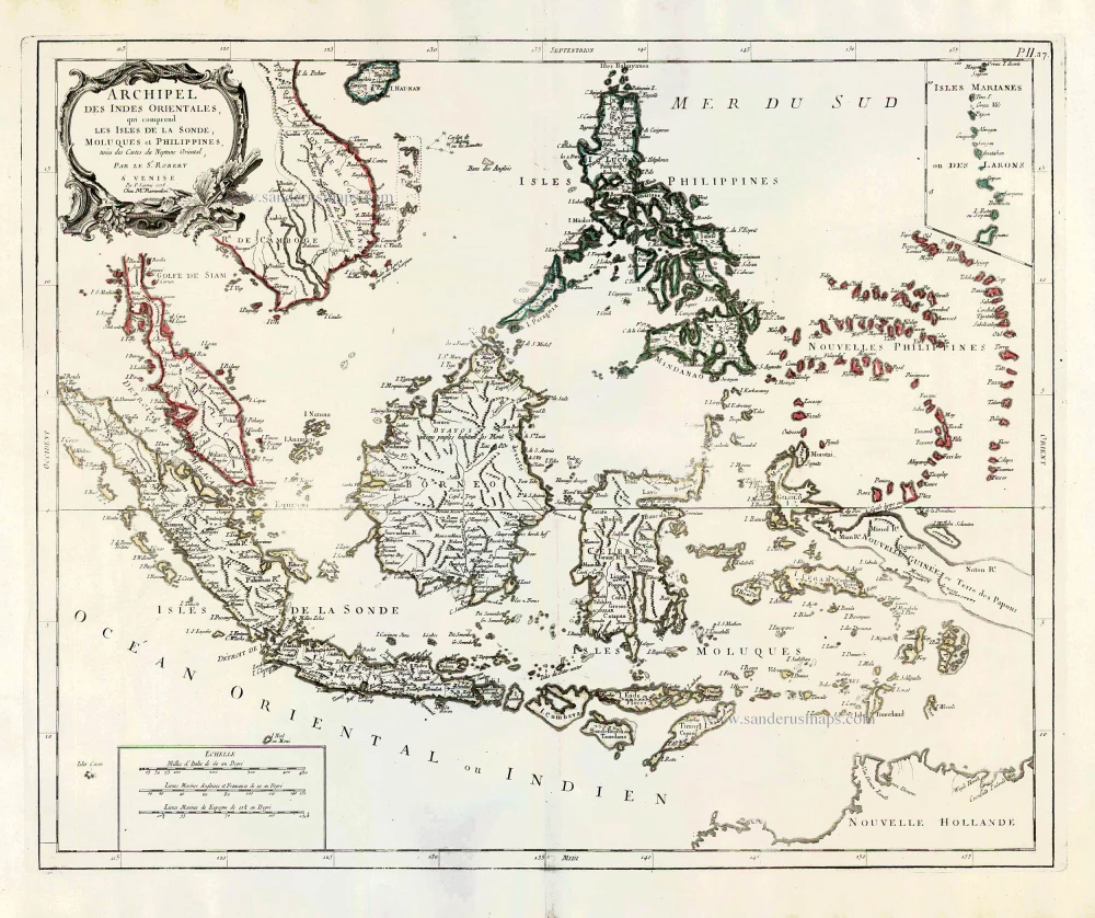
Archipel des Indes Orientales qui comprend les Isles de la Sonde, Moluques et Philippines. 1776-79
Southeast Asia, by Francesco Santini.
[Item number: 26977]
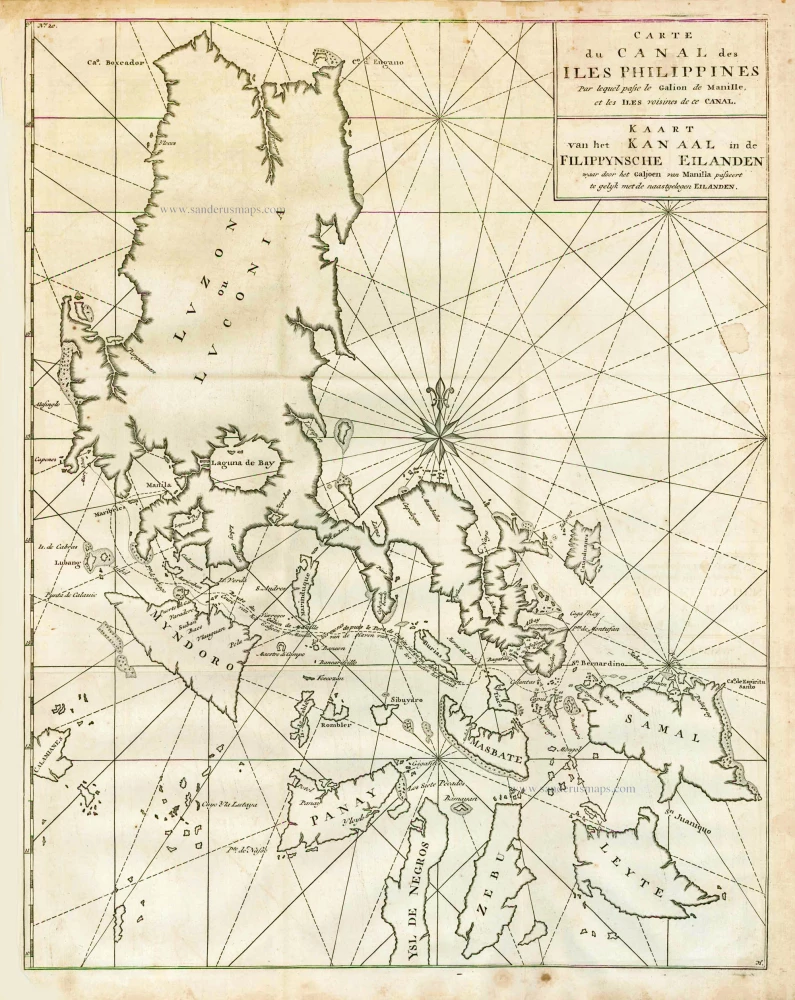
Carte du Canal des Iles Philippines par lequel Passe le Galion de Manille et les Iles Voisines de ce Canal. - Kaart van het Kanaal in de Filippynsche Eilanden waar door het Galjoen van Manilla passeert, tegelijk met de naast gelegen Eilanden. 1748
The Philippines, by George Anson.
[Item number: 27036]

Big and important map.
Nieuwe en zeer naaukeurige kaart van t Eyland Java Major of Groot Java. 1724-26
Java, by François Valentyn (Valentijn).
[Item number: 27054]
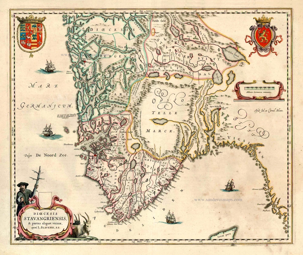
Dioecesis Stavangriensis, & partes aliquot vicinae, opera L. Scavenii, S.S. 1643-50
Norway - Stavanger, by Willem & Joan Blaeu.
[Item number: 27100]
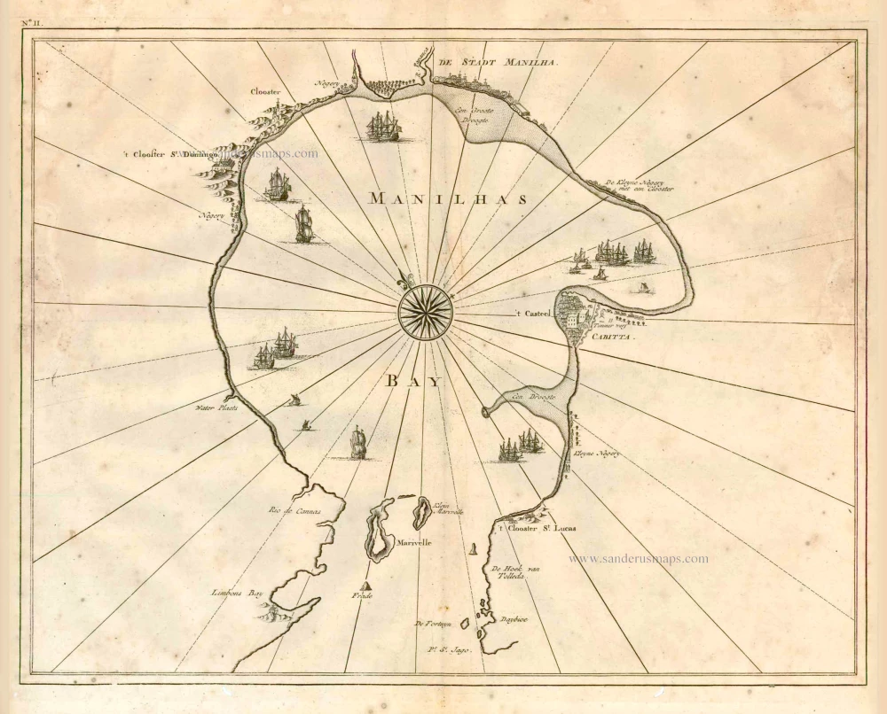
Manilhas Bay. 1724-26
Philippine Islands - Manila Bay by François Valentyn (Valentijn)
[Item number: 27904]
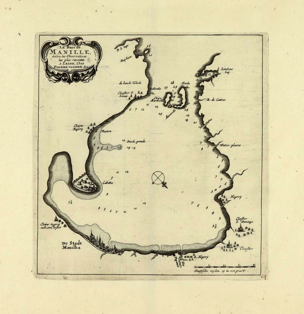
La Baie de Manille. 1719
Manilla Bay, par Pieter van der Aa.
[Item number: 28115]
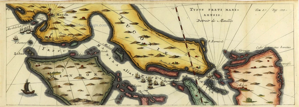
Typus Freti Manilensis. - Détroit de Manilles. 1725
Philippines - Manila Strait by René Augustin Constantin de Renneville.
[Item number: 28370]
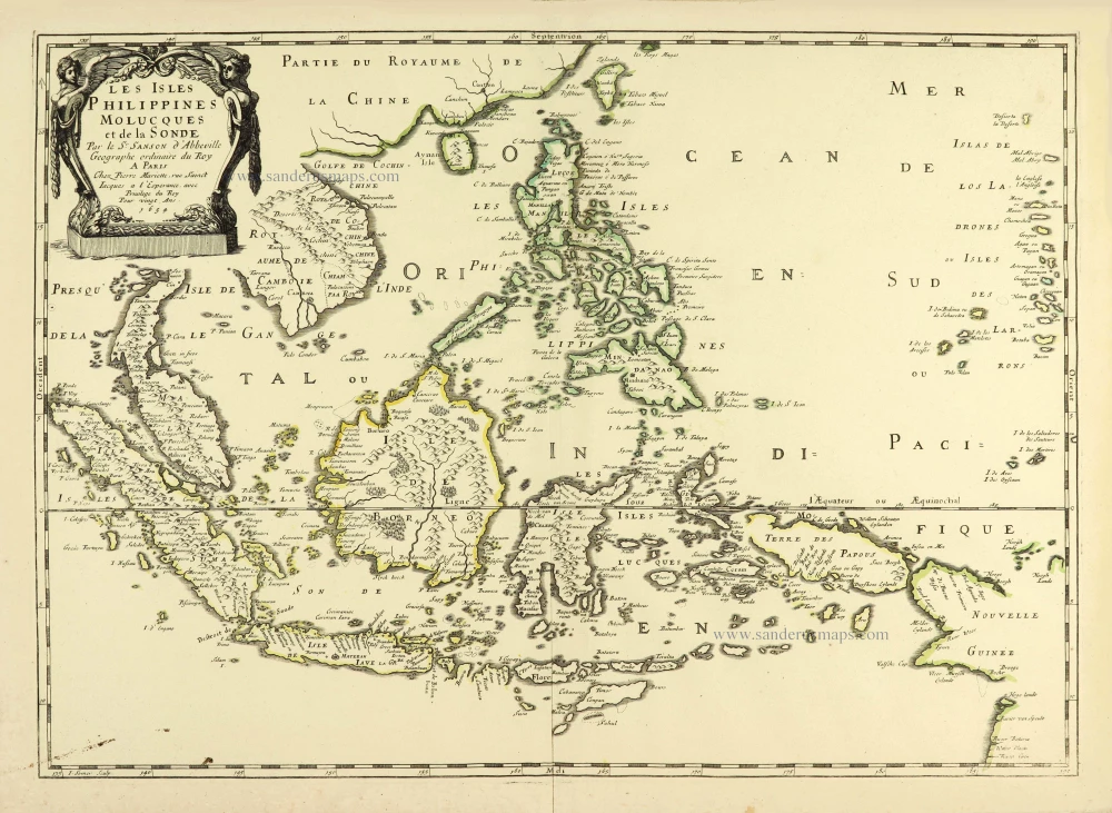
Les Isles Philippines Molucques et de la Sonde. 1658
Southeast Asia par Nicolas Sanson.
[Item number: 28378]
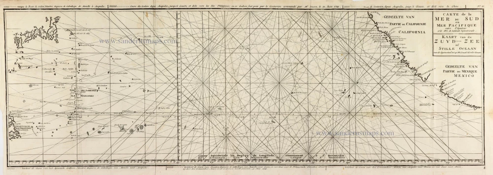
Carte de la Mer du Sud ou Mer Pacifique entre l'Equateur et le 39.5 de Latitude Septentrionale. - Kaart van de Zuyd-Zee of Stille Oceaan ... 1751
Map of the southern Pacific, showing a part of the path of George Anson's voyage around the world.
[Item number: 30609]
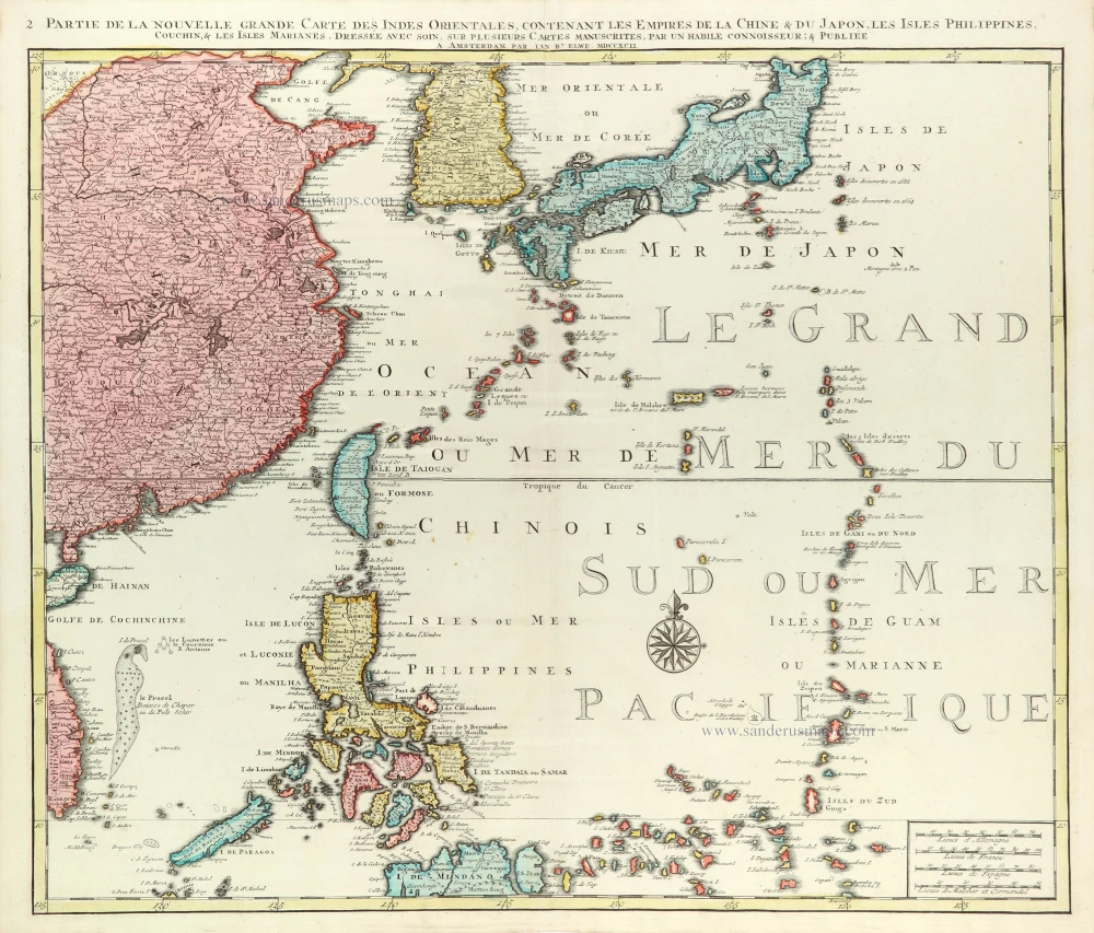
Partie de la Nouvelle Grande Carte des Indes Orientales Contenant les Empires de la Chine, du Japon, les Isles Philippines, Couchin, & les Isles Marianes, 1792
East Asia (Japan - Philippines) by J.B. Elwe.
[Item number: 31803]
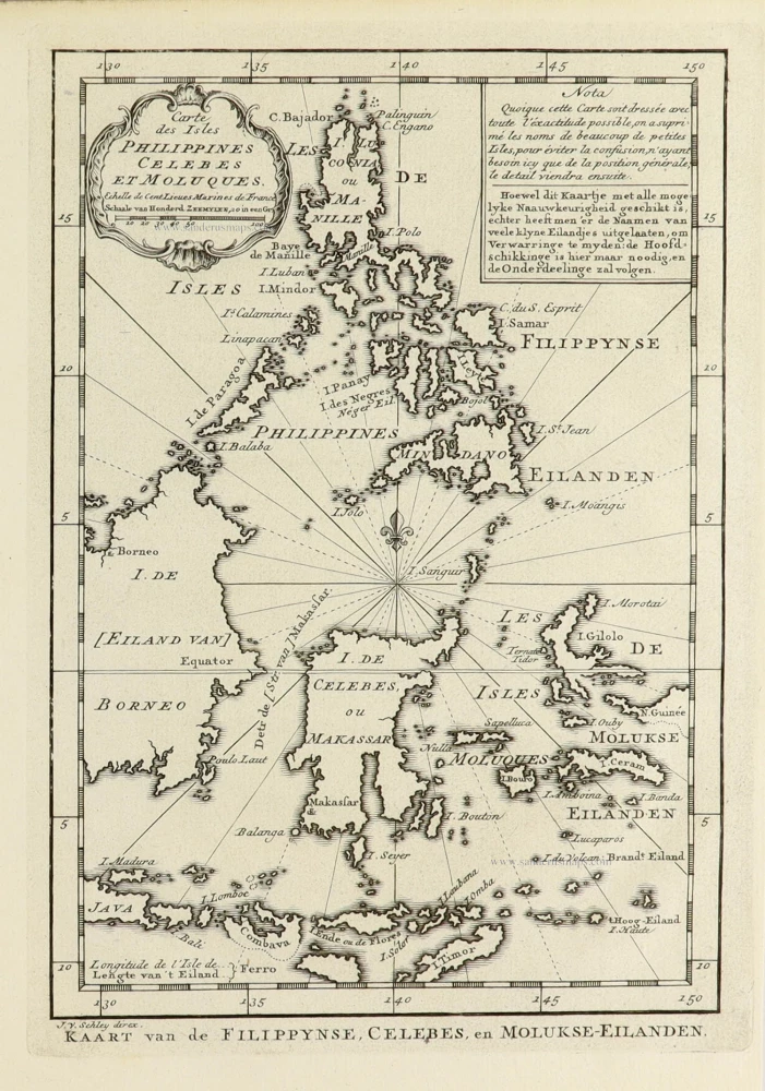
Carte des Isles Philippines Celebes et Moluqes. 1747
Philippines, Moluccas, Borneo, and Sulawesi after J.N. Bellin, published by A.F. Prévost.
[Item number: 31881]
Rare
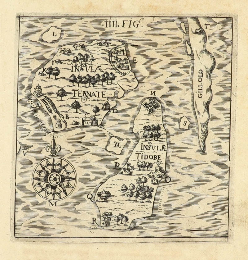
[No title] 1608
Spice Islands by Hulsius Levinus.
[Item number: 32054]

Scarce and important map
Philippinae Insulae. 1618
Philippines by Petrus Bertius.
[Item number: 32158]
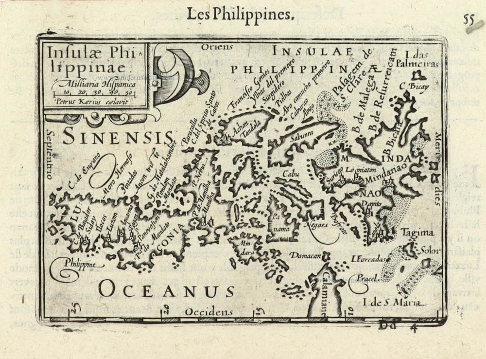
First printed map of the Philippines.
Insulae Philippinae. 1600
Philippines by Langenes Barent
[Item number: 32282]

