This product is successfully added to your cart
Questions about this product? (#27895)

Authenticity Guarantee
All items are guaranteed authentic prints (woodcuts or engravings) or manuscripts made at or about (c.) the given date and in good condition unless stated otherwise. We don’t sell facsimiles or reproductions. We deliver every map with a Certificate of Authenticity containing all the details.

Philippines, by François Valentyn. 1726

François Valentijn (1666-1727)

François Valentijn was a minister who devoted most of his life to the employ of the V.O.C. In 1685 he was sent by the V.O.C. to Ambon as a Minister to the East Indies, where he remained for a decade. He returned and lived in Holland for about ten years before returning to the Indies in 1705. The following year Valentijn was Army Chaplain on an expedition in eastern Java but suffered health problems and requested permission to return to Holland.
Finally, back home, Valentijn composed his monumental work, Oud en Nieuw Oost-Indien. This massive work of five parts in eight volumes appeared between 1724 and 1726. It was created both from the voluminous journals Valentijn had amassed during his two stays in Southeast Asia, as well as from his own research, correspondence, and previously unpublished material secured from V.O.C. officials. It contained over one thousand engraved illustrations and some of the most accurate maps of the Indies of this time.

back

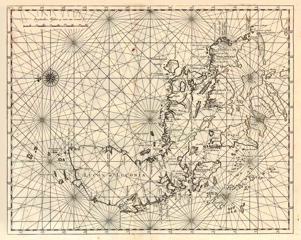
Lucon of Luconia.

€2100  ($2289 / £1764)
add to cart
Buy now
questions?
PRINT

Item Number:  27895 Authenticity Guarantee

Category:  Antique maps > Asia > Southeast Asia

Old, antique map of Philippine Islands, by François Valentyn (Valentijn).

Title: Lucon of Luconia.

Oriented to the east.

Date of the first edition: 1724.
Date of this map: 1726.

Copper engraving, printed on paper.
Size (not including margins): 310 x 385mm (12.2 x 15.16 inches).
Verso: Blank.
Condition: Folds as issued, excellent.
Condition Rating: A+.
References: Landwehr (VOC), 467.1a(3); Quirino, p.124

From: Valentyn F., Oud en Nieuw Oost-Indien, vervattende Een Naaukeurige en Uitvoerige Verhandelinge van Nederlands Mogendheyd In die Geweesten. Amsterdam, J. van Braam & G. onder de Linden, 1724-26.

François Valentijn (1666-1727)

François Valentijn was a minister who devoted most of his life to the employ of the V.O.C. In 1685 he was sent by the V.O.C. to Ambon as a Minister to the East Indies, where he remained for a decade. He returned and lived in Holland for about ten years before returning to the Indies in 1705. The following year Valentijn was Army Chaplain on an expedition in eastern Java but suffered health problems and requested permission to return to Holland.
Finally, back home, Valentijn composed his monumental work, Oud en Nieuw Oost-Indien. This massive work of five parts in eight volumes appeared between 1724 and 1726. It was created both from the voluminous journals Valentijn had amassed during his two stays in Southeast Asia, as well as from his own research, correspondence, and previously unpublished material secured from V.O.C. officials. It contained over one thousand engraved illustrations and some of the most accurate maps of the Indies of this time.
References: Landwehr (VOC) - 467.1a(3); Quirino - p.124

Related items

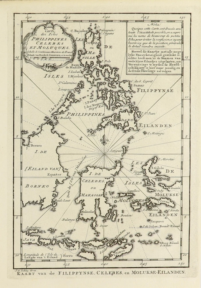
Philippines - Indonesia by Tirion I.

Nieuwe Kaart van de Filippynsche, Ladrones, Moluccos of Specery Eilanden als mede Celebes, etc. 1744
Philippines - Indonesia by Tirion I.
[Item number: 26584]

€320  ($348.8 / £268.8)
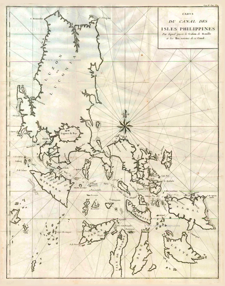
Philippines by Bonne Rigobert

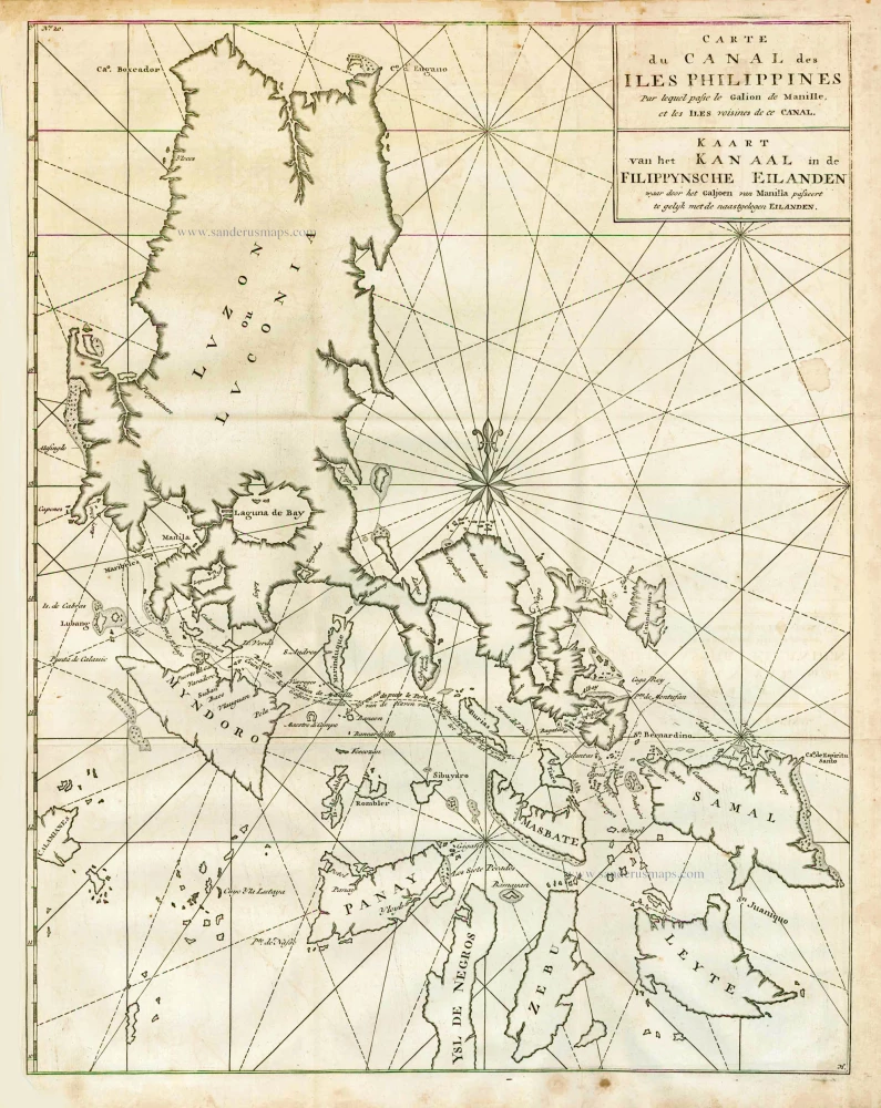
Carte du Canal des Iles Philippines par lequel Passe le Galion de Manille et les Iles Voisines de ce Canal. 1749
Philippines by Bonne Rigobert
[Item number: 26611]

€500  ($545 / £420)
The Philippines, by George Anson.

Carte du Canal des Iles Philippines par lequel Passe le Galion de Manille et les Iles Voisines de ce Canal. - Kaart van het Kanaal in de Filippynsche Eilanden waar door het Galjoen van Manilla passeert, tegelijk met de naast gelegen Eilanden. 1748
The Philippines, by George Anson.
[Item number: 27036]

€500  ($545 / £420)
Barent Langenes & Cornelis Claesz.: Southeast Asia, Japan, China, and the Philippines.

Including the first map of the Philippines.
India Orien. - Iapan. - China. - Insulae Philippinae. 1602
Barent Langenes & Cornelis Claesz.: Southeast Asia, Japan, China, and the Philippines.
[Item number: 27705]

€2450  ($2670.5 / £2058)
Philippines - Manilla by François Valentyn (Valentijn)

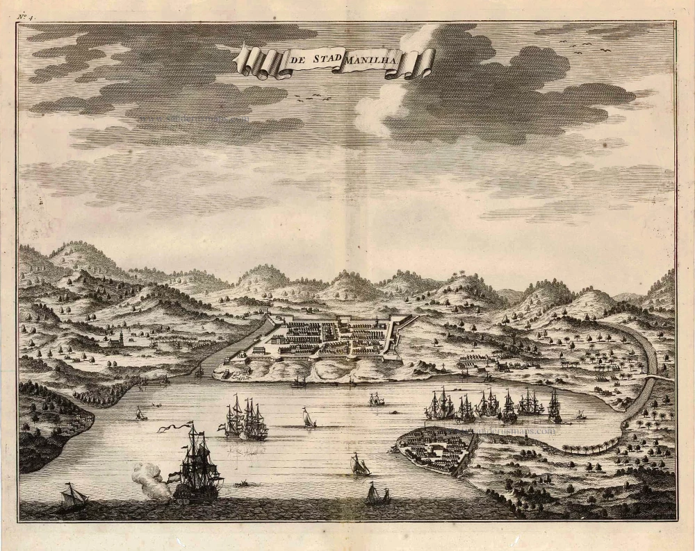
De Stad Manilha. 1726
Philippines - Manilla by François Valentyn (Valentijn)
[Item number: 27894]

€900  ($981 / £756)
Manilla Bay, par Pieter van der Aa.

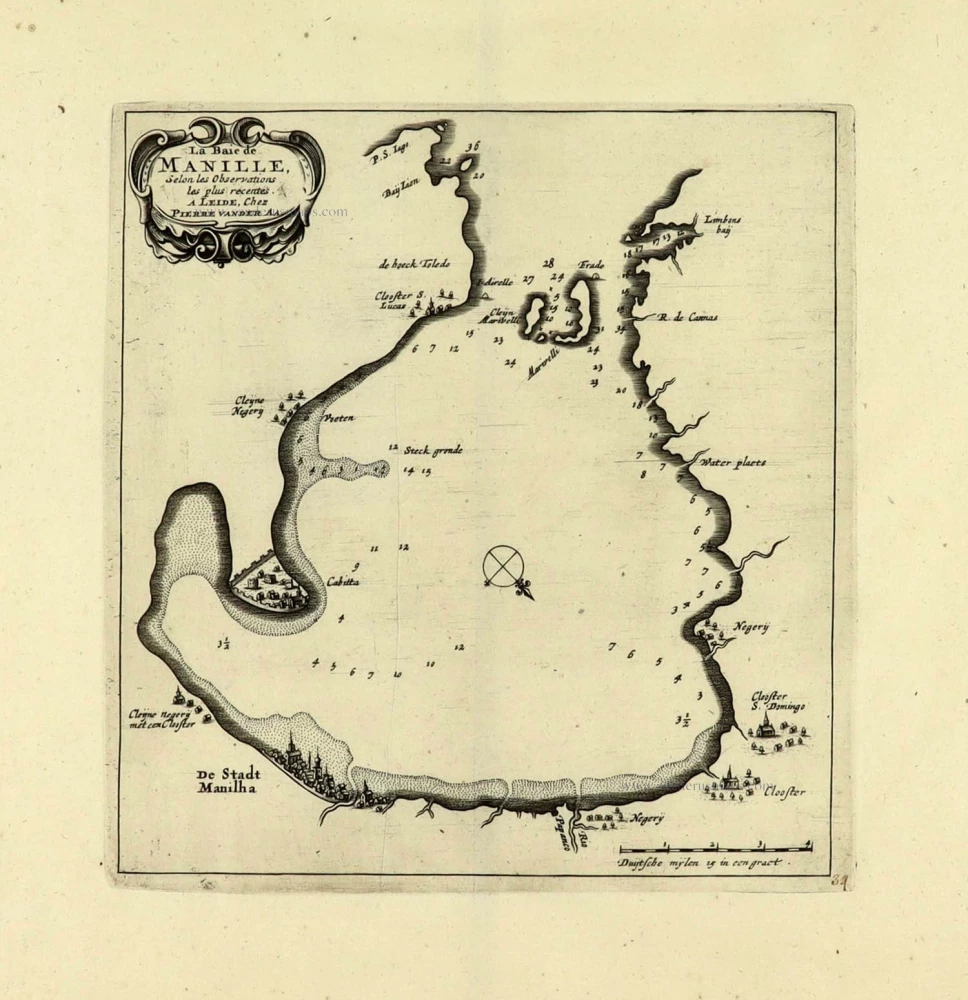
La Baie de Manille. 1719
Manilla Bay, par Pieter van der Aa.
[Item number: 28115]

€520  ($566.8 / £436.8)
Philippines by Petrus Bertius.

First edition
Philippinae Insulae. 1616
Philippines by Petrus Bertius.
[Item number: 28166]

€2200  ($2398 / £1848)
Philippines - Manila Strait by René Augustin Constantin de Renneville.

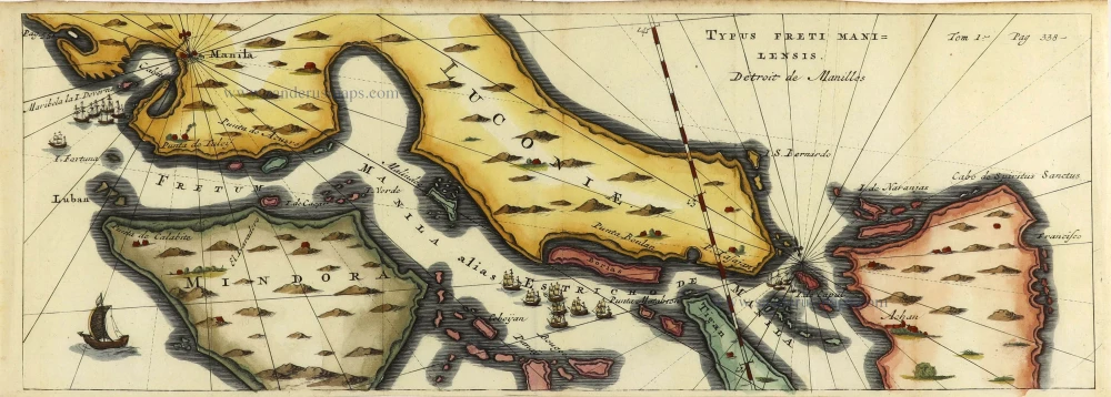
Typus Freti Manilensis. - Détroit de Manilles. 1725
Philippines - Manila Strait by René Augustin Constantin de Renneville.
[Item number: 28370]

€600  ($654 / £504)
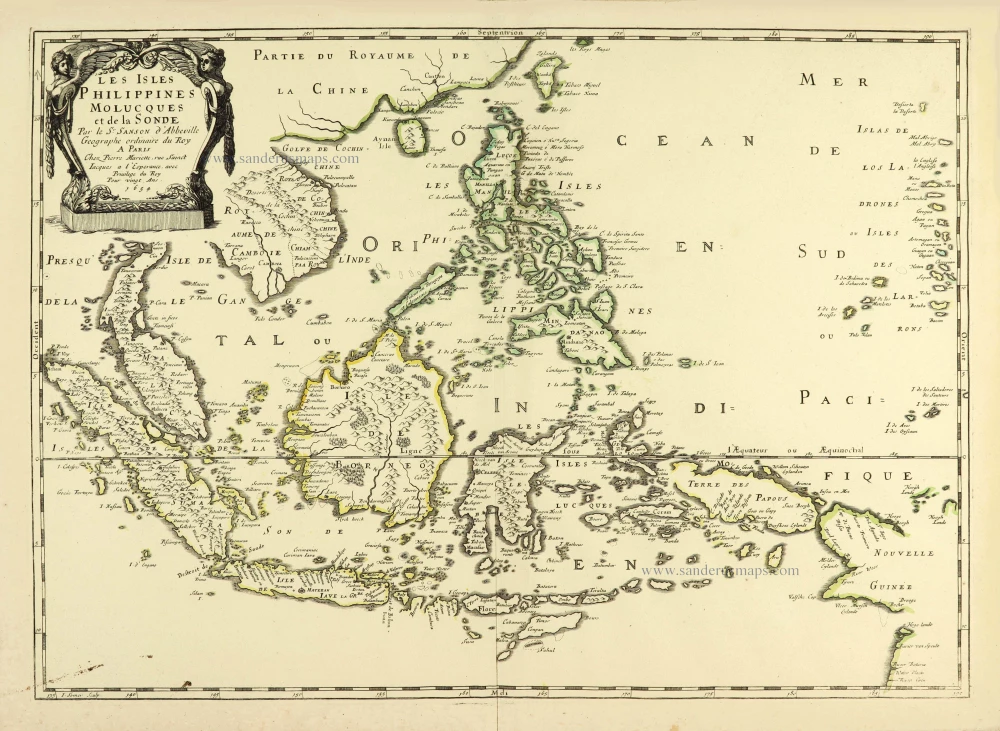
Philippines par Nicolas Sanson.

Les Isles Philippines Molucques et de la Sonde. 1658
Philippines par Nicolas Sanson.
[Item number: 28378]

€900  ($981 / £756)
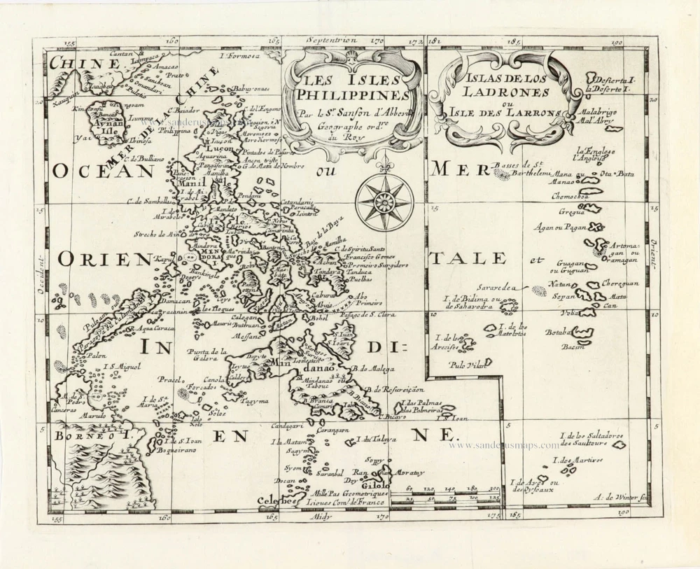
Philippines, by Nicolas Sanson, published by Prevost d'Exiles.

Les Isles Philippines [on sheet with] Islas de los Ladrones ou Isle des Larrons. 1747-74
Philippines, by Nicolas Sanson, published by Prevost d'Exiles.
[Item number: 30304]

€460  ($501.4 / £386.4)
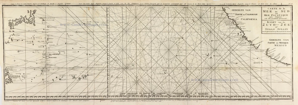
Map of the southern Pacific, showing a part of the path of George Anson's voyage around the world.

Carte de la Mer du Sud ou Mer Pacifique entre l'Equateur et le 39.5 de Latitude Septentrionale. - Kaart van de Zuyd-Zee of Stille Oceaan ... 1751
Map of the southern Pacific, showing a part of the path of George Anson's voyage around the world.
[Item number: 30609]

€360  ($392.4 / £302.4)