
Allegoric title page by Joannes van Keulen. 1709

Although Gerard van Keulen published this atlas, it still bears the name of Joannes van Keulen. (Koeman IV, p. 317)
The House of Van Keulen
For more than two centuries, the chart makers firm of Van Keulen was established in the house with the name of “De Gekroonde Lootsman” (The Crowned Pilot). In 1678, the founder of the firm, Johannes I Van Keulen (1634-1689), registered with the Amsterdam booksellers’ guild. He had enlisted the aid of the well-known Mathematical Practitioner Claas Janz Vooght in the preparation of his nautical publications. In 1680 he published the first edition of the Zee-Atlas with 40 charts, all issued for the first time. In the short period of four years, they produced the five volumes of the Nieuwe Groote Ligtende Zee-Fakkel (1681-85). His acquisition of the stock of the bookseller Hendrik Doncker was an essential factor in the development of the firm.
In 1678 a son, Gerard Van Keulen (1678-1726), was born out of Johannes’s first marriage. This son was endowed with talent. He was a skilful engraver and proficient in mathematics and navigational science. Gerard was responsible for establishing the scientific basis of the firm of Van Keulen. In 1714 he was appointed to the office of hydrographer to the Dutch East India Company. The Van Keulens remained chart makers to the East India Company until the Company’s liquidation.
With the introductions to the Zee-Fakkel and Zee-Atlas, Gerard van Keulen gave a new impetus to the firm. Unfortunately, he did not live long, dying when he was 49. The business was carried on by his widow Ludwina Konst. Shortly before Gerard’s death, his son Johannes II had entered the bookseller’s guild, and in 1726 he assumed the management of the firm, though his mother retained her financial interests in the business.
Johannes II Van Keulen (1704-1755) is known in particular for his publication in 1753 of a sixth volume of the Zee-Fakkel, the volume containing the charts of the route to the East Indies.
Johannes II had two sons; they joined the firm as partners in 1757. A considerable number of books appeared in the period 1778-1801. New issues of the Zee-Fakkel again saw the light. The firm flourished under different names until 1885.
[No title]
Item Number: 31888 new Authenticity Guarantee
Category: Antique maps > Curiosities
Allegorical title page by Joannes van Keulen.
[No title]
Designer: Jan Luycken
Engraver: Jan Luycken
Date of the first edition: 1695.
Date of this map: 1709.
Date on map: 1709.
Copper engraving, printed on paper.
Image size: 510 x 275mm (20 x 10¾ inches).
Sheet size: 540 x 310mm (21¼ x 12¼ inches).
Verso: Blank.
Condition: Original coloured, excellent.
Condition Rating: A+.
From: De Nieuwe Groote Ligtende Zee-Fakkel, ... Door Gerard van Keulen. Amsterdam, J. Van Keulen, 1709. (Koeman IV, Keu38B)
Although Gerard van Keulen published this atlas, it still bears the name of Joannes van Keulen. (Koeman IV, p. 317)
The House of Van Keulen
For more than two centuries, the chart makers firm of Van Keulen was established in the house with the name of “De Gekroonde Lootsman” (The Crowned Pilot). In 1678, the founder of the firm, Johannes I Van Keulen (1634-1689), registered with the Amsterdam booksellers’ guild. He had enlisted the aid of the well-known Mathematical Practitioner Claas Janz Vooght in the preparation of his nautical publications. In 1680 he published the first edition of the Zee-Atlas with 40 charts, all issued for the first time. In the short period of four years, they produced the five volumes of the Nieuwe Groote Ligtende Zee-Fakkel (1681-85). His acquisition of the stock of the bookseller Hendrik Doncker was an essential factor in the development of the firm.
In 1678 a son, Gerard Van Keulen (1678-1726), was born out of Johannes’s first marriage. This son was endowed with talent. He was a skilful engraver and proficient in mathematics and navigational science. Gerard was responsible for establishing the scientific basis of the firm of Van Keulen. In 1714 he was appointed to the office of hydrographer to the Dutch East India Company. The Van Keulens remained chart makers to the East India Company until the Company’s liquidation.
With the introductions to the Zee-Fakkel and Zee-Atlas, Gerard van Keulen gave a new impetus to the firm. Unfortunately, he did not live long, dying when he was 49. The business was carried on by his widow Ludwina Konst. Shortly before Gerard’s death, his son Johannes II had entered the bookseller’s guild, and in 1726 he assumed the management of the firm, though his mother retained her financial interests in the business.
Johannes II Van Keulen (1704-1755) is known in particular for his publication in 1753 of a sixth volume of the Zee-Fakkel, the volume containing the charts of the route to the East Indies.
Johannes II had two sons; they joined the firm as partners in 1757. A considerable number of books appeared in the period 1778-1801. New issues of the Zee-Fakkel again saw the light. The firm flourished under different names until 1885.
Related items
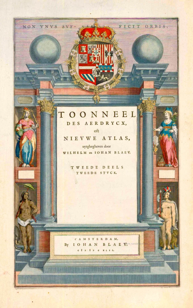
Toonneel des Aerdrycx, oft Nieuwe Atlas, uytgegeven door Wilhelm en Joan Blaeu. Tweede Deels Tweede Stuck. 1642-43
Atlas title page by Blaeu W.
[Item number: 2084]
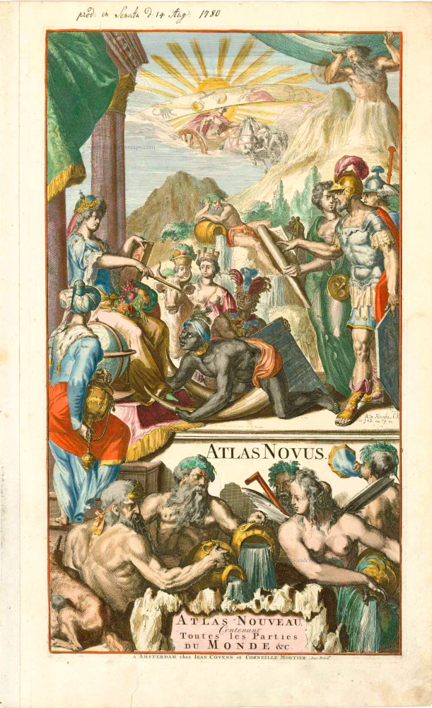
Atlas Novus - Atlas-Nouveau Contenant toutes les parties du Monde &c. 1733
Atlas title page, by Covens & Mortier.
[Item number: 12544]
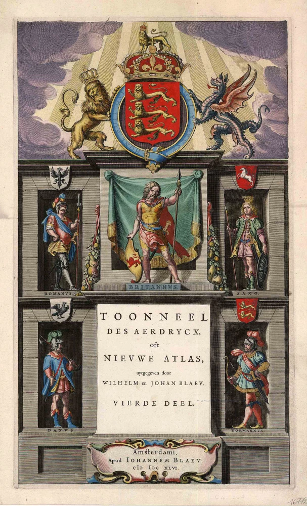
Toonneel des Aerdrycx, oft Nieuwe Atlas, uytgegeven door Wilhelm en Joan Blaeu. Vierde Deel. 1642-43
Atlas title page for the Blaeu Atlas of England
[Item number: 16772]
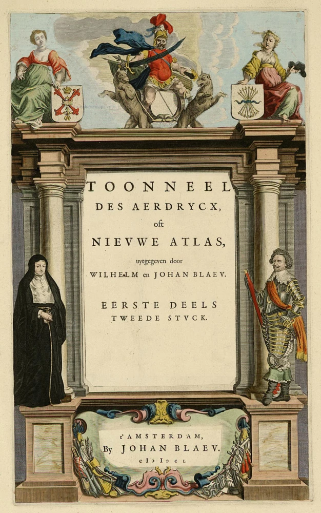
Toonneel des Aerdrycx, oft Nieuwe Atlas, uytgegeven door Wilhelm en Joan Blaeu. Eerste Deels Tweede Stuck. 1642-43
Atlas Title Page, by Blaeu W. & J.
[Item number: 21455]
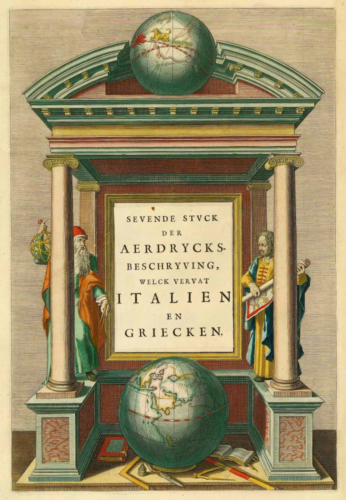
Sevende Stuck der Aerdrycks-Beschryving, welck vervat Italien en Griecken. 1664-65
Atlas Title Page by J. Blaeu
[Item number: 21621]
Scarce. Heightened in gold
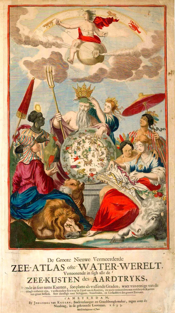
De Groote Nieuwe Vermeerderde Zee-Atlas ofte Water-Werelt. Vertoonende in sigh alle de Zee-Kusten des Aardtryks, ... 1693
Johannes Van Keulen, sea atlas title page.
[Item number: 26447]
The design is taken from Peter Paul Rubens
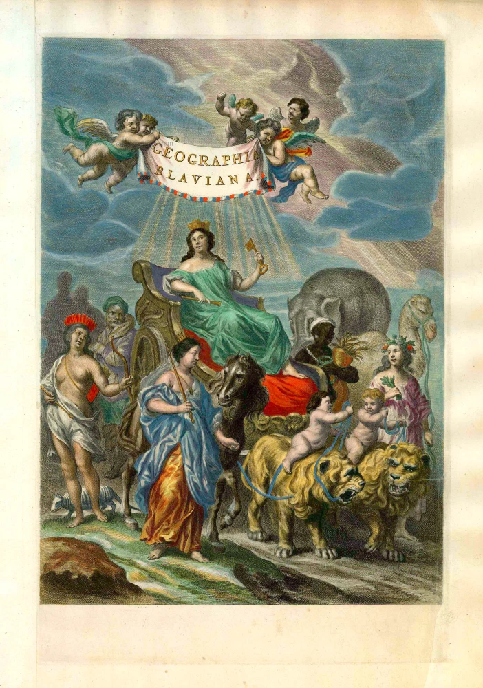
Geographia Blaviana. 1662
Joan Blaeu, 'Atlas Maior' title page.
[Item number: 26570]
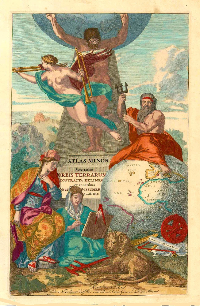
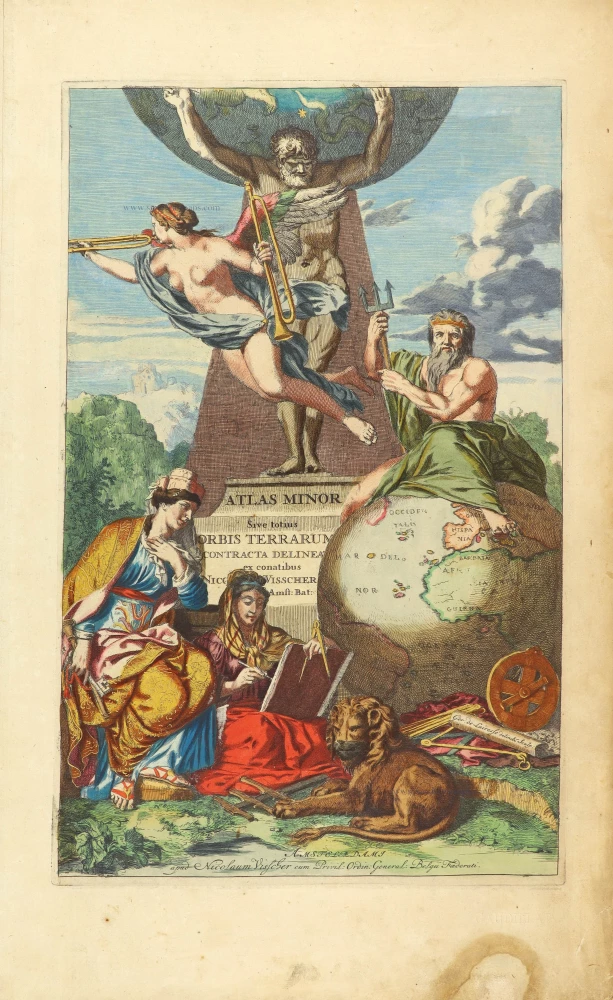
Atlas Minor Sive totius Orbis Terrarum contracta delineat(a) ex conatibus Nic(olaus) Visscher ... 1683-1702
Allegoric title page of the Atlas Minor, by Nicolaas Visscher II.
[Item number: 27022]
Rare
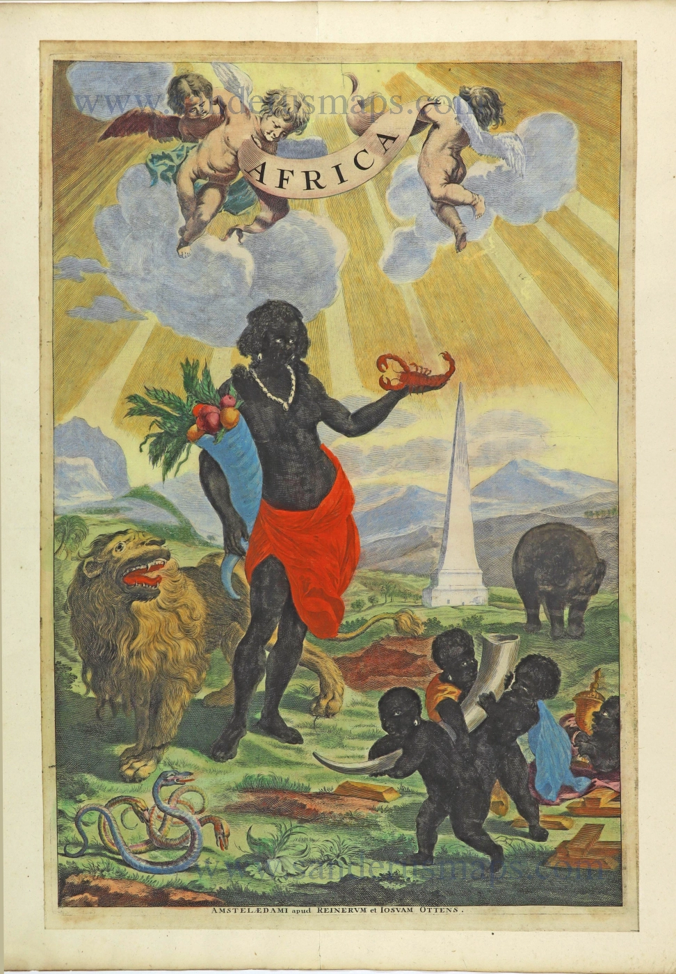
Africa. 1725-50.
Allegorical title page of Africa by Joan Blaeu, published by Reinier & Josua Ottens.
[Item number: 28506]
Rare!
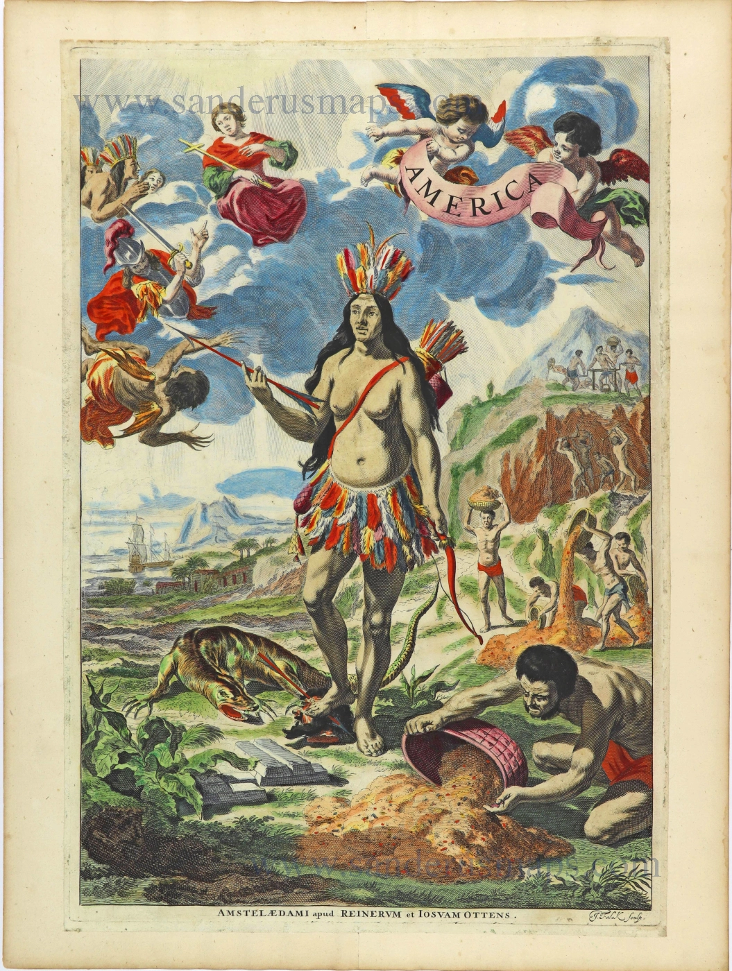
America. 1725-50.
Allegorical title page of America by Joan Blaeu, published by Reinier & Josua Ottens.
[Item number: 28507]
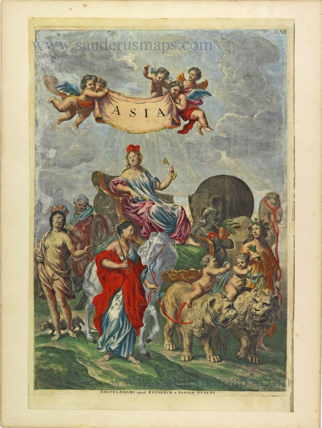
Asia. 1725-50.
Allegorical title page by Joan Blaeu, published by Reinier & Josua Ottens.
[Item number: 28508]
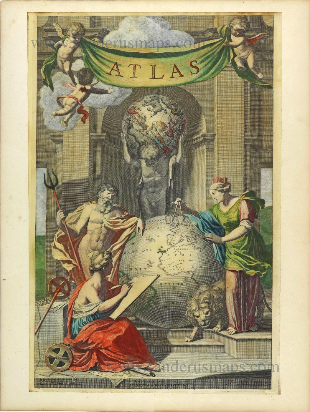
Atlas. 1725-50.
Allegorical title page by Joan Blaeu, published by Reinier & Josua Ottens.
[Item number: 28509]
Heightened in gold
Atlas Minor Sive totius Orbis Terrarum contracta delinea... 1683-1716
Allegorical atlas title page by Nicolaas Visscher II.
[Item number: 28787]
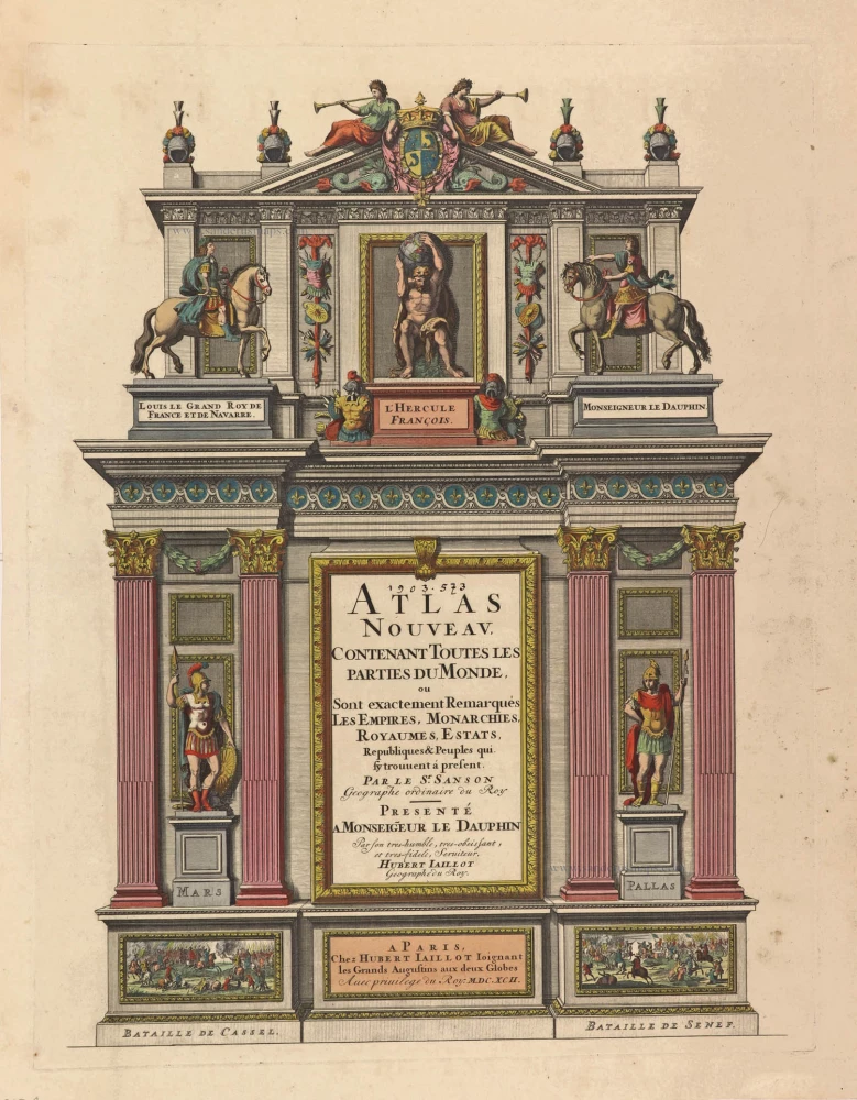
Atlas Nouveau, contenant toutes les parties du Monde, 1692
Title Page of a Sanson Atlas, published by Hubert Jaillot.
[Item number: 29712]
Rare Atlas Major title.
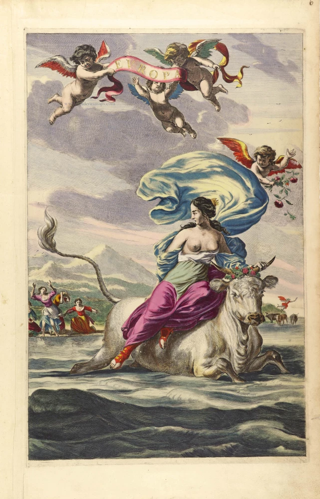
Europa. 1662
Title Page by Joan Blaeu.
[Item number: 29731]
Exceptional nice old colour. Heightened in gold.
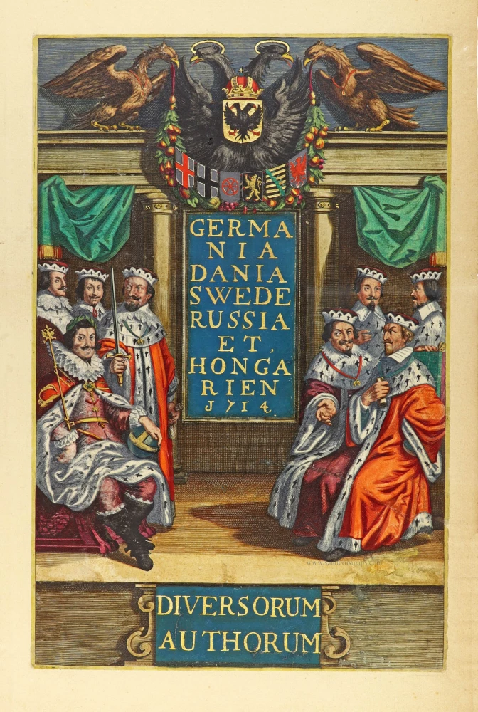
Germania Dania Swede Russia et Hongarien 1714. - Diversorum Authorum. 1714
Joannes Janssonius, title page
[Item number: 30095]

De Praecipuis, Totius Universi Urbibus Liber Secundus. 1575-1612
Georg Braun & Frans Hogenberg, allegorical atlas title page of the second part.
[Item number: 30096]
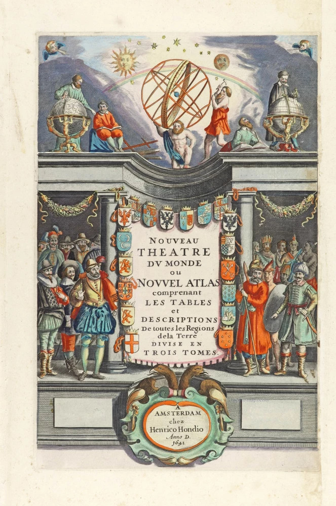
Nouveau Theatre du Monde ou Nouvel Atlas comprenant Les Tables et Descriptions de toutes les Regions de la Terre. 1641
Allegorical atlas title page by Henricus Hondius.
[Item number: 30116]
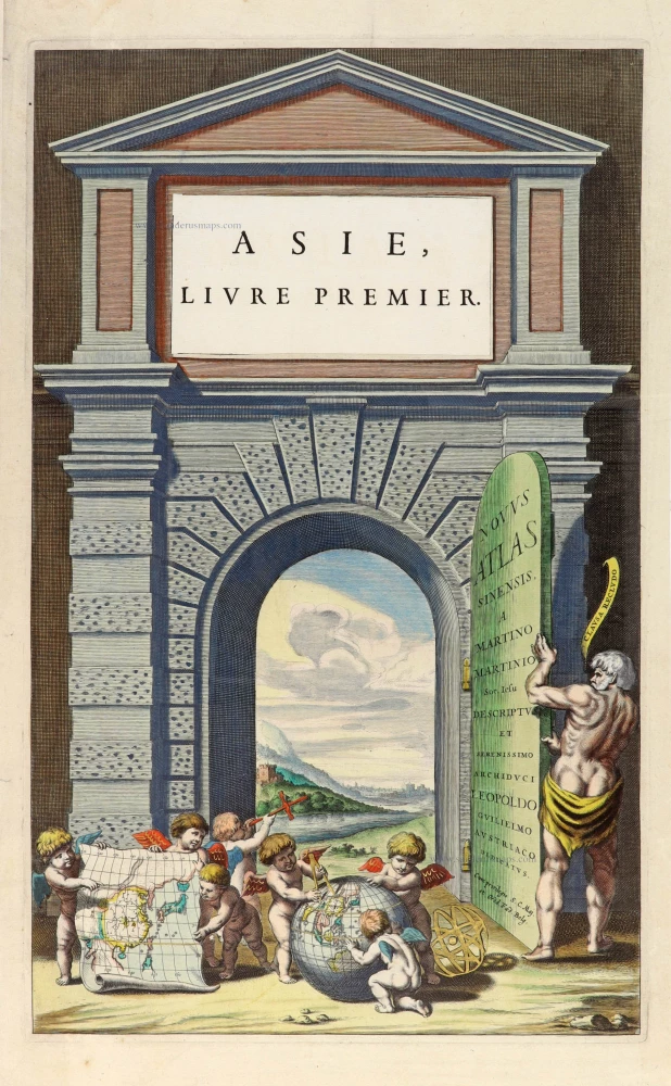
Novus Atlas Sinensis a Martino Martinio Soc. Iesu Descriptus et Serenissimo Archiduci Leopoldo Guilielmo Austriaco Dedicatus. 1655
Title page for Blaeu's atlas of China as part of the Theatrum Orbis Terrarum.
[Item number: 30153]
![Linschoten's <i>Voyagie, ofte Schip-Vaert</i> Anno 1594 en[de] 1595. With inset of Yugor Strait.](https://sanderusmaps.com/assets/WEBP/m30292.webp)
Title page of the first edition of Linschoten's Arctic voyages in search of the North-East Passage to China.
Voyagie, ofte Schip-Vaert, van Ian Huyghen van Linschoten 1601
Linschoten's Voyagie, ofte Schip-Vaert Anno 1594 en[de] 1595. With inset of Yugor Strait.
[Item number: 30292]
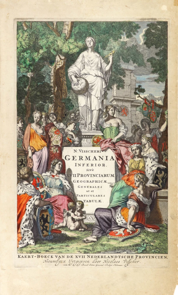
N: Visscheri Germania Inferior Sive XVII Provinciarum Geographicae Generales ut et Particulares Tabulae. - Kaert-Boeck van de XVII Nederlandtsche Provincien, Nieuwlycx uytgegeven door Nicolaes Visscher. After 1677 (privilege)
Atlas title page by Nicolas Visscher II.
[Item number: 30417]
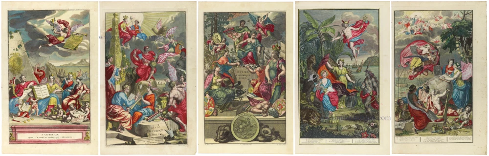
In rare original colour. - Complete set of frontispieces of the Atlas Historique
1713-1719
Zacharias Châtelain, allegorical title pages (5)
[Item number: 31448]