
London by Hartmann Schedel 1493


Hartmann Schedel (Nuremberg, 1440-1514) and the Nuremberg Chronicle.
Hartmann Schedel grew up in Nuremberg and first studied liberal arts in Leipzig. He earned a medical doctorate in Padua in 1466, then settled in Nuremberg to practice medicine and collect books. According to an inventory done in 1498, Schedel's library contained 370 manuscripts and 670 printed books.
Schedel is best known for writing the text for the Nuremberg Chronicle, an illustrated biblical paraphrase and world history that follows the story of human history related in the Bible; it includes the histories of many important Western cities. The Nuremberg Chronicle was one of the most remarkable books of its time. It was commissioned by Sebald Schreyer (1446–1520) and Sebastian Kammermeister (1446–1503) and published in 1493 in Nuremberg. Maps in the Chronicle were the first-ever illustrations of many cities and countries. Wolgemut and Pleydenwurff, the painters, were commissioned to provide the illustrations and handle the layout. The large workshop of Michael Wolgemut, then Nuremberg's leading artist in various media, provided the 1,809 woodcut illustrations (including duplications).
Albrecht Dürer was an apprentice to Wolgemut from 1486 to 1489, so he may well have participated in the design of some of the illustrations.
The Liber Chronicarum was first published in Latin on 12 July 1493 in Nuremberg by Anton Koberger, the most successful publisher in Germany. A German translation followed on 23 December 1493. An estimated 1,400 to 1,500 Latin and 700 to 1,000 German copies were published.
Due to the great success and prestige of the Chronicle, pirate editions soon appeared on the market. Johann Schönsperger (c. 1455-1521), a printer working out of Augsburg, published smaller editions of the Chronicle in 1496, 1497, and 1500 in German and Latin.
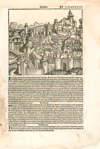
Anglia
Item Number: 24702 Authenticity Guarantee
Category: Antique maps > Europe > British Isles - Cities
Fantasy view of England by Hartmann Schedel.
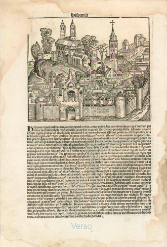
On verso: a fantasy view of Spain.
Date of the first edition: 1493
Date of this view: 1493
Sheet size: 46 x 31.5cm (17.9 x 12.3 inches)
Verso text: Latin
Condition: Waterstain in upper right corner
Condition Rating: A
Folio CCLXXXVIII (288) from: Liber Chronicarum. (= Nuremberg Chronicle). Nuremberg, Koberger, 1493.
This major work, by the Nuremberg doctor Hartmann Schedel, generally known as the Nuremberg Chronicle was printed by Anton Koberger, the foremost printer of the day. It is a history of the world from the Creation to contemporary times. The work is remarkable for its illustrations, design and its woodcuts and description of cities. The views are some of the earliest representations of towns and cities, with around 116 places being identified by name. The numerous woodcut views, illustrations and maps are made by Michael Wohlgemuth and Wilhem Pleydenwurff and their workshop including Albrecht Dürer.
Hartmann Schedel (Nuremberg, 1440-1514) and the Nuremberg Chronicle.
Hartmann Schedel grew up in Nuremberg and first studied liberal arts in Leipzig. He earned a medical doctorate in Padua in 1466, then settled in Nuremberg to practice medicine and collect books. According to an inventory done in 1498, Schedel's library contained 370 manuscripts and 670 printed books.
Schedel is best known for writing the text for the Nuremberg Chronicle, an illustrated biblical paraphrase and world history that follows the story of human history related in the Bible; it includes the histories of many important Western cities. The Nuremberg Chronicle was one of the most remarkable books of its time. It was commissioned by Sebald Schreyer (1446–1520) and Sebastian Kammermeister (1446–1503) and published in 1493 in Nuremberg. Maps in the Chronicle were the first-ever illustrations of many cities and countries. Wolgemut and Pleydenwurff, the painters, were commissioned to provide the illustrations and handle the layout. The large workshop of Michael Wolgemut, then Nuremberg's leading artist in various media, provided the 1,809 woodcut illustrations (including duplications).
Albrecht Dürer was an apprentice to Wolgemut from 1486 to 1489, so he may well have participated in the design of some of the illustrations.
The Liber Chronicarum was first published in Latin on 12 July 1493 in Nuremberg by Anton Koberger, the most successful publisher in Germany. A German translation followed on 23 December 1493. An estimated 1,400 to 1,500 Latin and 700 to 1,000 German copies were published.
Due to the great success and prestige of the Chronicle, pirate editions soon appeared on the market. Johann Schönsperger (c. 1455-1521), a printer working out of Augsburg, published smaller editions of the Chronicle in 1496, 1497, and 1500 in German and Latin.
Related items

Anglia Regnum 1640-43
England by Willem & Joan Blaeu
[Item number: 25594]
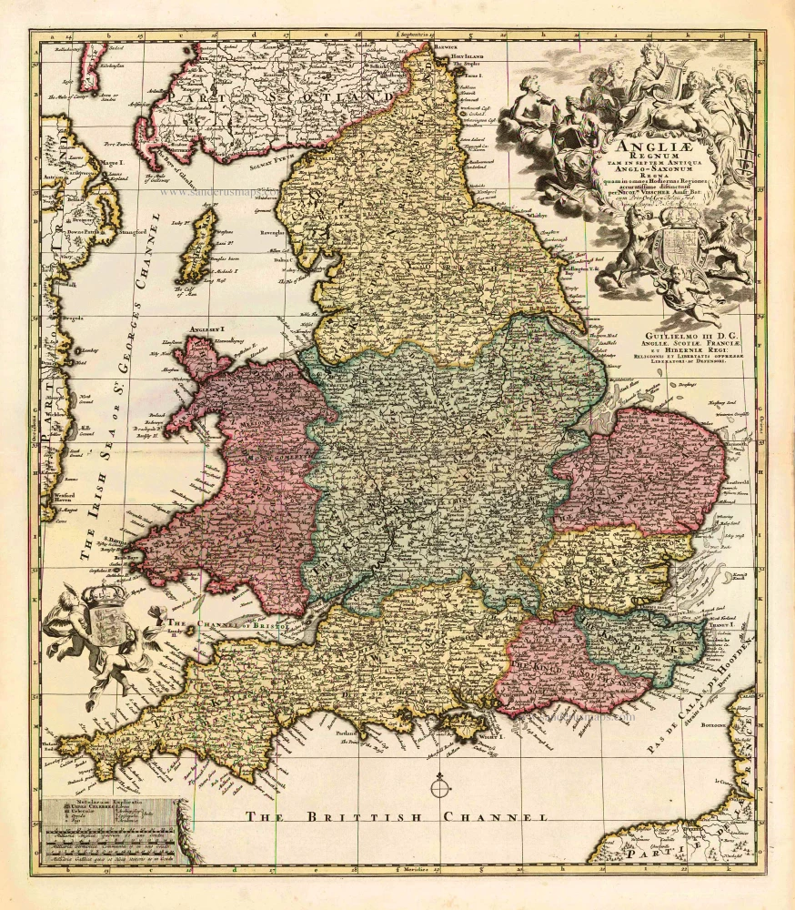
Angliae Regnum tam in septem Antiqua Anglo-Saxonum Regna ... c. 1730
England, by N. Visscher II, published by P. Schenk.
[Item number: 25720]
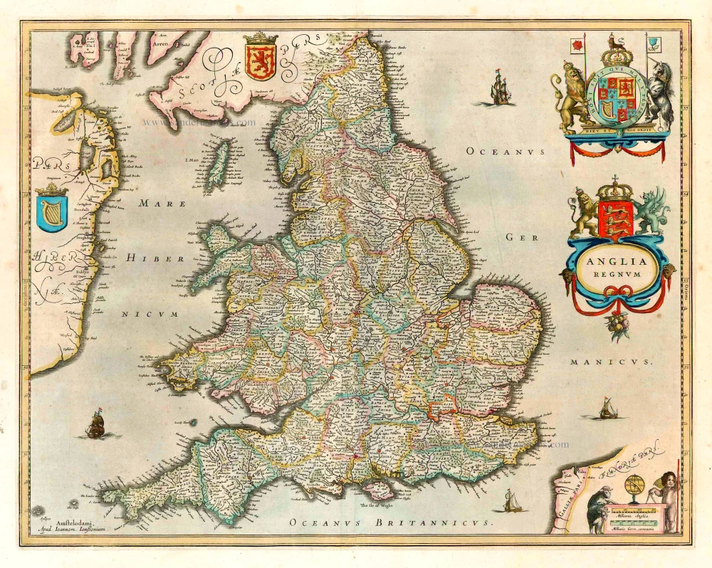
Anglia Regnum. 1641
England, by J. Janssonius, published by Henricus Hondius.
[Item number: 26242]

Le Royaume d'Angleterre, Divisé Selon les Sept Royaumes, ou Heptarchie des Saxons, avec la Principauté de Galles et Subdivisé en Shires ou Comtés. 1776-79
England, by Francesco Santini.
[Item number: 26960]
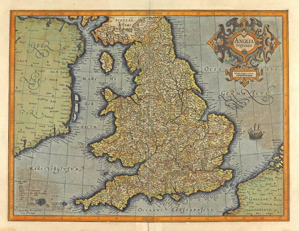
Anglia Regnum. 1623
England, by Gerard Mercator.
[Item number: 28132]
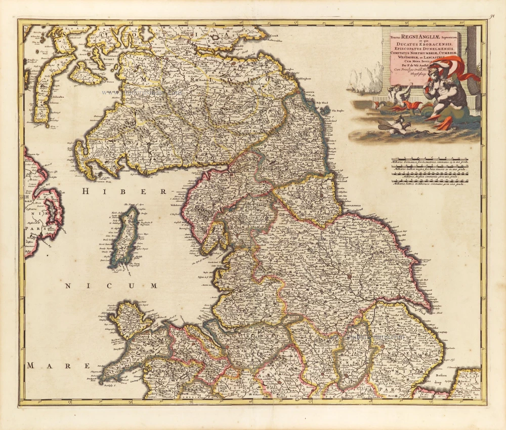
Tractus Regni Angliae Septentrion, in quo Ducatus Eboracensis, Episcopatus Dunelmensis, Comitatus Northumbriae, Cumbiae, Westmoriae, et Lancasstriae Cum Mona Insula. ca. 1691-93
Northern England, by Frederick de Wit.
[Item number: 29031]

Angliae Regni Florentissimi nova descriptio. 1584
England by A. Ortelius.
[Item number: 30145]

In rare original colour
Nouvelle Carte du Gouvernement Civil d'Angleterre et de celuy de la Ville de Londres. 1708
London, by Zacharias Châtelain
[Item number: 31421]
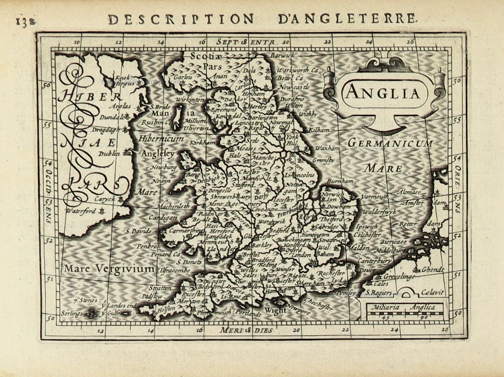
Anglia. 1618
England by Petrus Bertius, published by Jodocus Hondius II.
[Item number: 31536]

Scarce
Accuratissima Angliae Regni et Walliae Principatus Descriptio Distincte divisa in Omnes suas Provincias 1696-1713
England and Wales, by Cornelis Danckerts.
[Item number: 32495]