
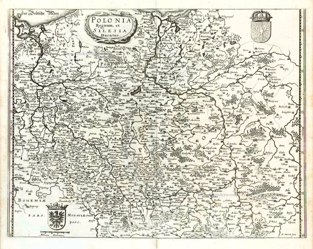
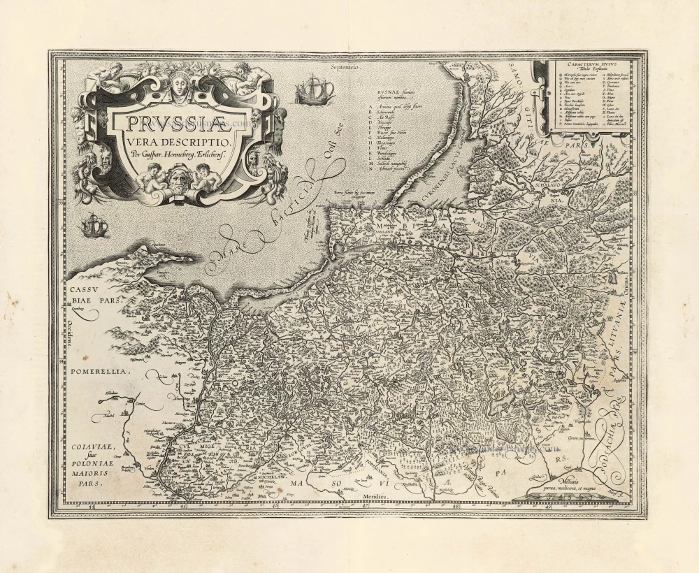
Poland - Prussia by J. Janssonius, published by Moses Pitt & J. Janssonius-Waesberge. 1680
Moses Pitt (1641-1697)
Moses Pitt, a London based map publisher and bookseller, planned a 12-volume world atlas based on Janssonius’ Atlas Maior. He entered into a partnership with Johann van Waesbergen, one of the heirs of Johannes Janssonius, and Steven Swart. Both publishers had versions with their own imprint. Only four volumes were issued. The undertaking ruined him, and he was imprisoned for two years for debt.
The maps are generally printed from reworked plates of Janssonius. The imprint of Janssonius van Waesbergen and Pitt is added and, to facilitate finding places with the index, the grid of parallels and meridians is added. In all probability, the maps were printed in Amsterdam and shipped to Oxford to be bound with the text.
The Janssonius Family
Joannes Janssonius (Arnhem, 1588-1664), son of the Arnhem publisher Jan Janssen, married Elisabeth Hondius, daughter of Jodocus Hondius, in Amsterdam in 1612. After his marriage, he settled down in this town as a bookseller and publisher of cartographic material. In 1618 he established himself in Amsterdam next door to Blaeu’s book shop. He entered into serious competition with Willem Jansz. Blaeu when copying Blaeu’s Licht der Zeevaert after the expiration of the privilege in 1620. His activities not only concerned the publication of atlases and books, but also of single maps and an extensive book trade with branches in Frankfurt, Danzig, Stockholm, Copenhagen, Berlin, Koningsbergen, Geneva, and Lyon. In 1631 he began publishing atlases together with Henricus Hondius.
In the early 1640s Henricus Hondius left the atlas publishing business completely to Janssonius. Competition with Joan Blaeu, Willem’s son and successor, in atlas production prompted Janssonius to enlarge his Atlas Novus finally into a work of six volumes, into which a sea atlas and an atlas of the Old World were inserted. Other atlases published by Janssonius are Mercator’s Atlas Minor, Hornius’s historical atlas (1652), the townbooks in eight volumes (1657), Cellarius’s Atlas Coelestis and several sea atlases and pilot guides.
After the death of Joannes Janssonius, the shop and publishing firm were continued by the heirs under the direction of Johannes van Waesbergen (c. 1616-1681), son-in-law of Joannes Janssonius. Van Waesbergen added the name of Janssonius to his own.
In 1676, Joannes Janssonius’s heirs sold by auction “all the remaining Atlases in Latin, French, High and Low German, as well as the Stedeboecken in Latin, in 8 volumes, bound and unbound, maps, plates belonging to the Atlas and Stedeboecken.” The copperplates from Janssonius’s atlases were afterwards sold to Schenk and Valck.
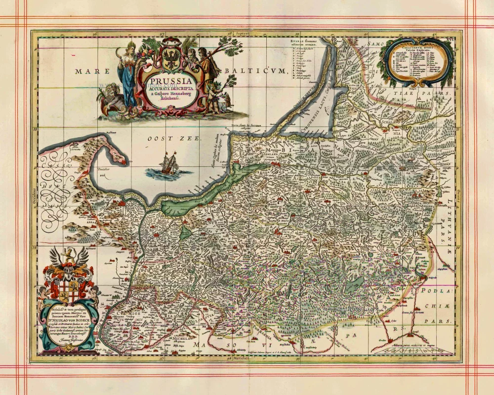
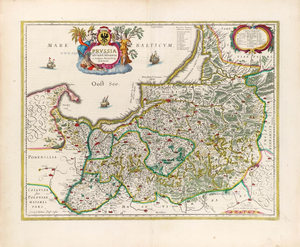
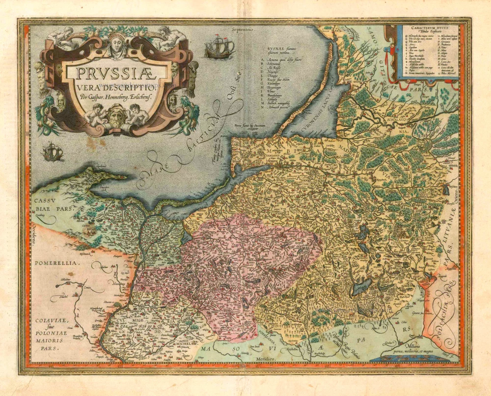
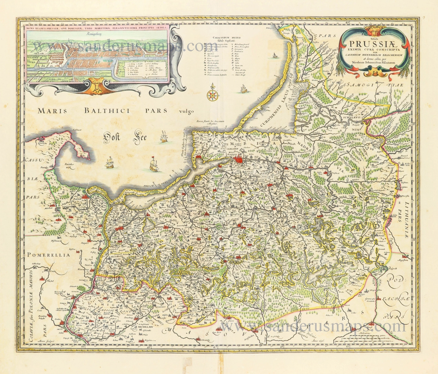
Prussia Accurate Descripta.
Item Number: 999 Authenticity Guarantee
Category: Antique maps > Europe > Eastern Europe
Old, antique map of Poland - Prussia by J. Janssonius, published by Moses Pitt & J. Janssonius-Waesberge.
Title: Prussia Accurate Descripta.
Cartographer: Gaspar Henneberg.
Date of the first edition: 1633.
Date of this map: 1680.
Copper engraving, printed on paper.
Size (not including margins): 380 x 490mm (14.96 x 19.29 inches).
Verso: Blank.
Condition: Hand coloured, on large, heavy paper, ruled in red, excellent.
Condition Rating: A.
From: The English Atlas. Oxford, Moses Pitt, 1680. (Van der Krogt 1, 451)
Moses Pitt (1641-1697)
Moses Pitt, a London based map publisher and bookseller, planned a 12-volume world atlas based on Janssonius’ Atlas Maior. He entered into a partnership with Johann van Waesbergen, one of the heirs of Johannes Janssonius, and Steven Swart. Both publishers had versions with their own imprint. Only four volumes were issued. The undertaking ruined him, and he was imprisoned for two years for debt.
The maps are generally printed from reworked plates of Janssonius. The imprint of Janssonius van Waesbergen and Pitt is added and, to facilitate finding places with the index, the grid of parallels and meridians is added. In all probability, the maps were printed in Amsterdam and shipped to Oxford to be bound with the text.
The Janssonius Family
Joannes Janssonius (Arnhem, 1588-1664), son of the Arnhem publisher Jan Janssen, married Elisabeth Hondius, daughter of Jodocus Hondius, in Amsterdam in 1612. After his marriage, he settled down in this town as a bookseller and publisher of cartographic material. In 1618 he established himself in Amsterdam next door to Blaeu’s book shop. He entered into serious competition with Willem Jansz. Blaeu when copying Blaeu’s Licht der Zeevaert after the expiration of the privilege in 1620. His activities not only concerned the publication of atlases and books, but also of single maps and an extensive book trade with branches in Frankfurt, Danzig, Stockholm, Copenhagen, Berlin, Koningsbergen, Geneva, and Lyon. In 1631 he began publishing atlases together with Henricus Hondius.
In the early 1640s Henricus Hondius left the atlas publishing business completely to Janssonius. Competition with Joan Blaeu, Willem’s son and successor, in atlas production prompted Janssonius to enlarge his Atlas Novus finally into a work of six volumes, into which a sea atlas and an atlas of the Old World were inserted. Other atlases published by Janssonius are Mercator’s Atlas Minor, Hornius’s historical atlas (1652), the townbooks in eight volumes (1657), Cellarius’s Atlas Coelestis and several sea atlases and pilot guides.
After the death of Joannes Janssonius, the shop and publishing firm were continued by the heirs under the direction of Johannes van Waesbergen (c. 1616-1681), son-in-law of Joannes Janssonius. Van Waesbergen added the name of Janssonius to his own.
In 1676, Joannes Janssonius’s heirs sold by auction “all the remaining Atlases in Latin, French, High and Low German, as well as the Stedeboecken in Latin, in 8 volumes, bound and unbound, maps, plates belonging to the Atlas and Stedeboecken.” The copperplates from Janssonius’s atlases were afterwards sold to Schenk and Valck.
Related items
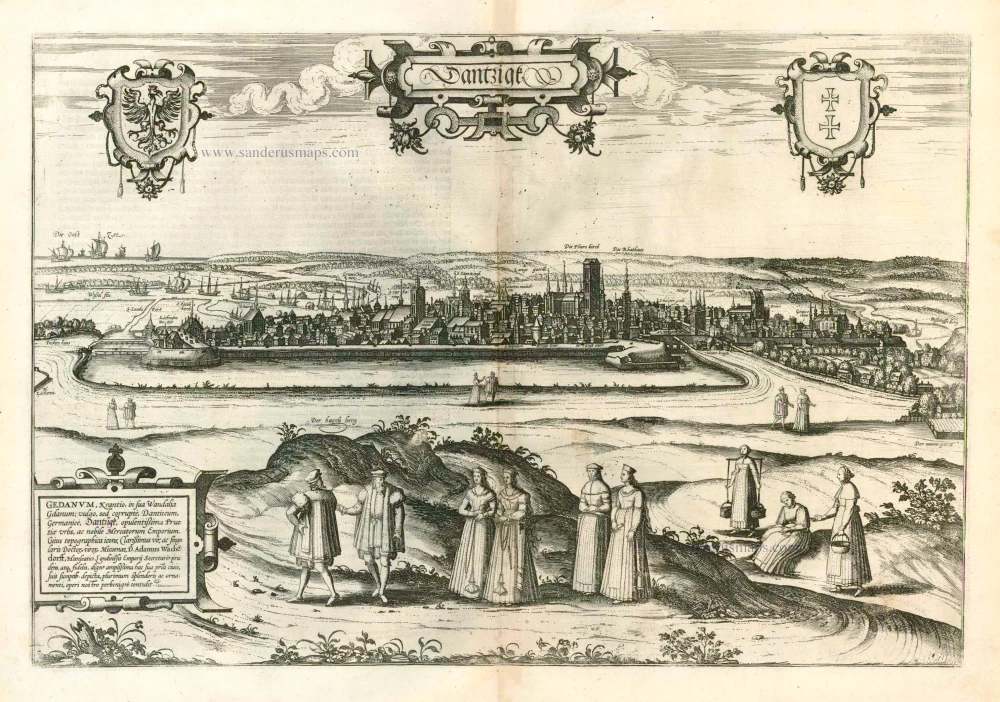
Dantzigk - Gedanum, Krantio, in sua Wandalia Gdanum; . . . 1576
Gdansk, by Georg Braun and Frans Hogenberg.
[Item number: 4056]
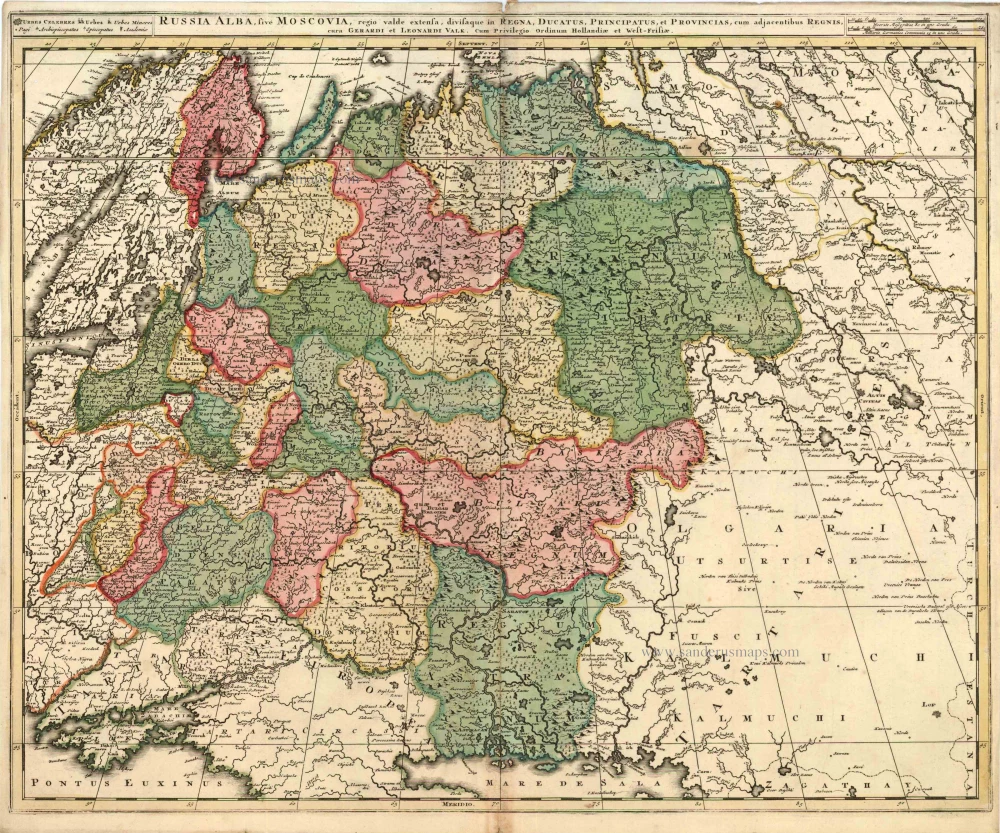
Russia Alba, sive Moscoviae, Regio Valde Extensa, Divisaque in Regna, Ducatus, Principatus, et Provincias, cum Adjacentibus Regnis c. 1702
Russia, by Valk & Schenk.
[Item number: 5099]
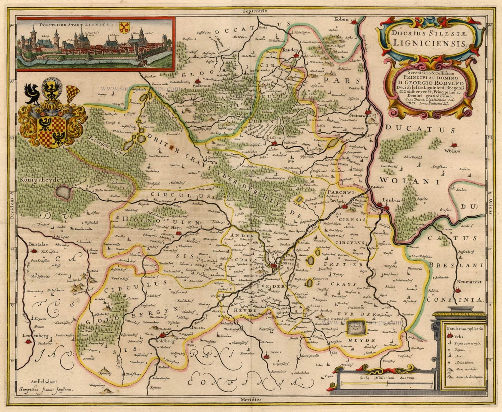
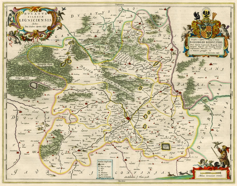
Ducatus Silesiae Ligniciensis 1632+
Poland - Legnica, by Hondius H. - Janssonius J.
[Item number: 6942]
Prussia Accurate Descripta a Gasparo Henneberg Erlichensi. 1644-45
Prussia by Willem & Joan Blaeu
[Item number: 13183]
Ducatus Silesiae Ligniciensis. 1659-72
Poland - Legnica, by Joan Blaeu.
[Item number: 15615]
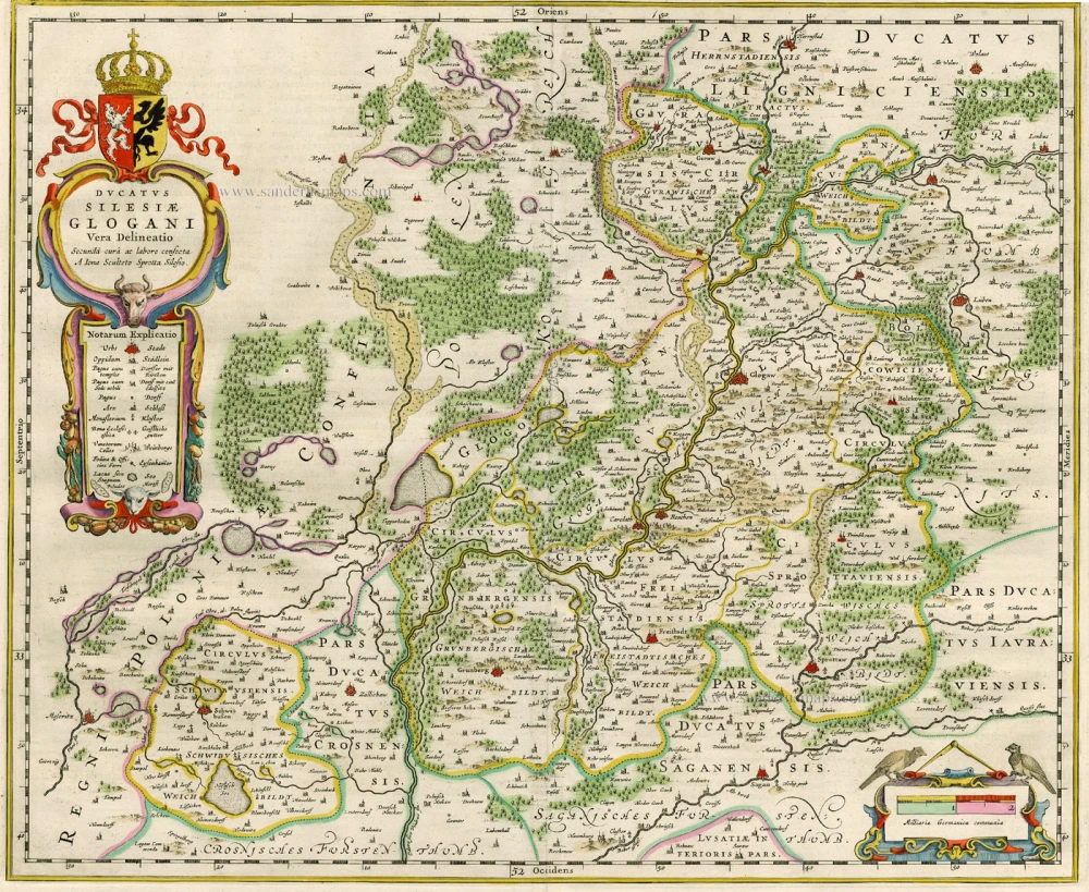
Ducatus Silesiae Glogani Vera Delineatio. 1659-72
Poland - Glogów, by Blaeu J.
[Item number: 15616]
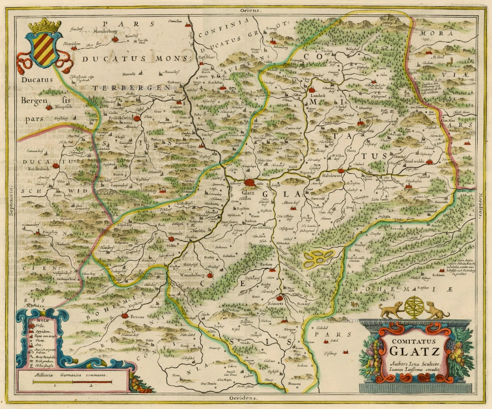
Comitatus Glatz. 1658
Poland - Klodzko, by J. Janssonius.
[Item number: 15619]

Silesia Inferior 1659-72
Lower Silesia, by Joan Blaeu.
[Item number: 15620]
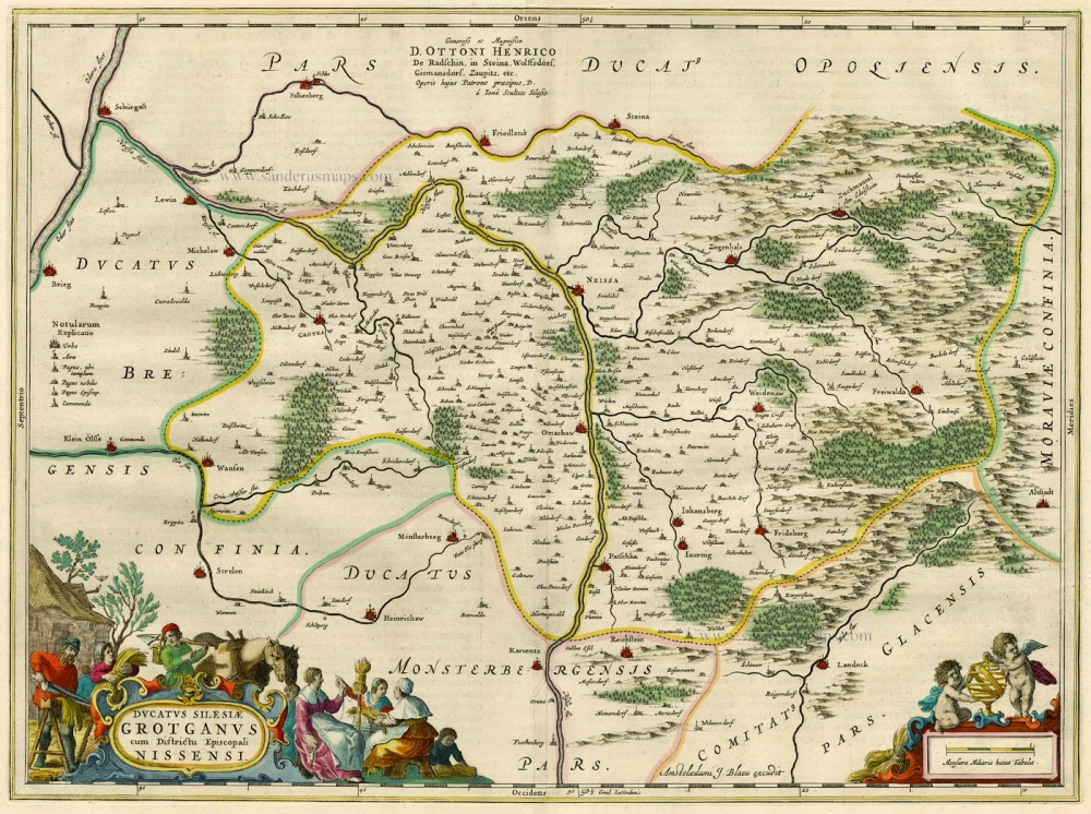
Ducatus Silesiae Grotganus cum Districtu Episcopali Nissensi. 1662
Poland - Grodków and Nysa, by Blaeu J.
[Item number: 15621]
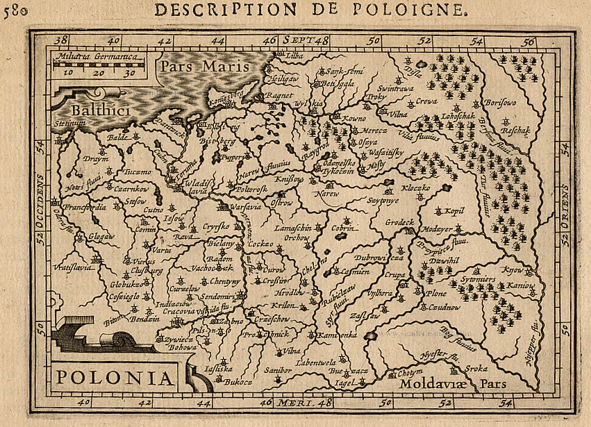
Polonia. 1618
Poland, by Petrus Bertius.
[Item number: 18262]
Prussiae Vera Descriptio. 1601
Prussia (Poland) by Abraham Ortelius.
[Item number: 25260]
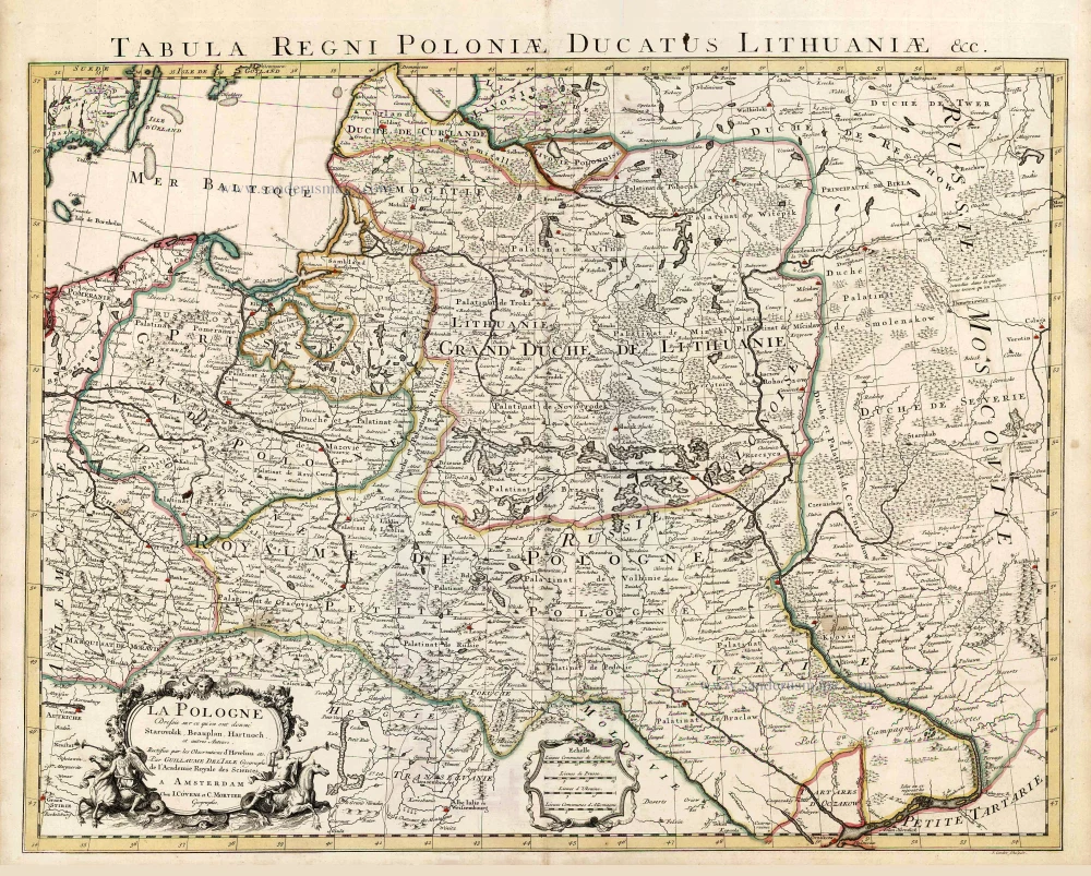
La Pologne Dressée sur ce qu'en ont donné Starovolsk, Beauplan, Hartnoch, et autres auteurs. [Latin title in upper margin:] Tabula Regni Poloniae, Ducatus Lithuaniae &c. 1730
Poland - Lithuania by Guillaume Delisle, published by Covens & Mortier.
[Item number: 25890]
Polonia Regnum et Silesia Ducatus. 1638
Poland, by M. Merian.
[Item number: 25927]
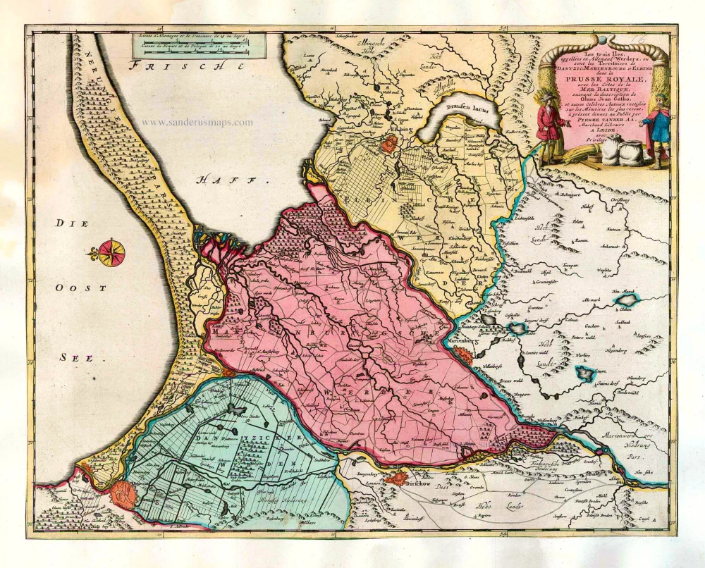
Les trois Iles, appellées en Allemand Werders, ou sont les Territoires de Dantzic, Marienbourg et Elbing dans la Prusse Royale, avec les Côtes de la Mer Baltique, suivant la description de Olaus Jean Gotho, ... 1713
Gdansk, Marlbork and Elblag, by Pieter van der Aa.
[Item number: 26041]
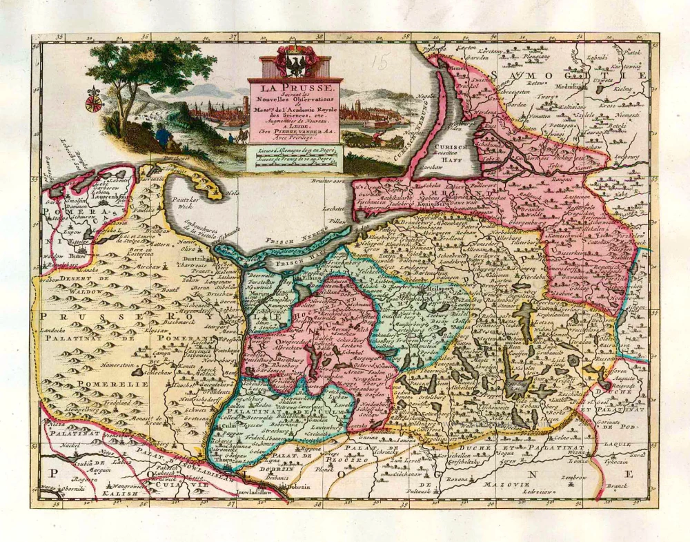
La Prusse, Suivant les Nouvelles Observations de Mess.rs de l'Academie Royale des Sciences, etc. 1713
Prussia, by Pieter van der Aa.
[Item number: 26047]
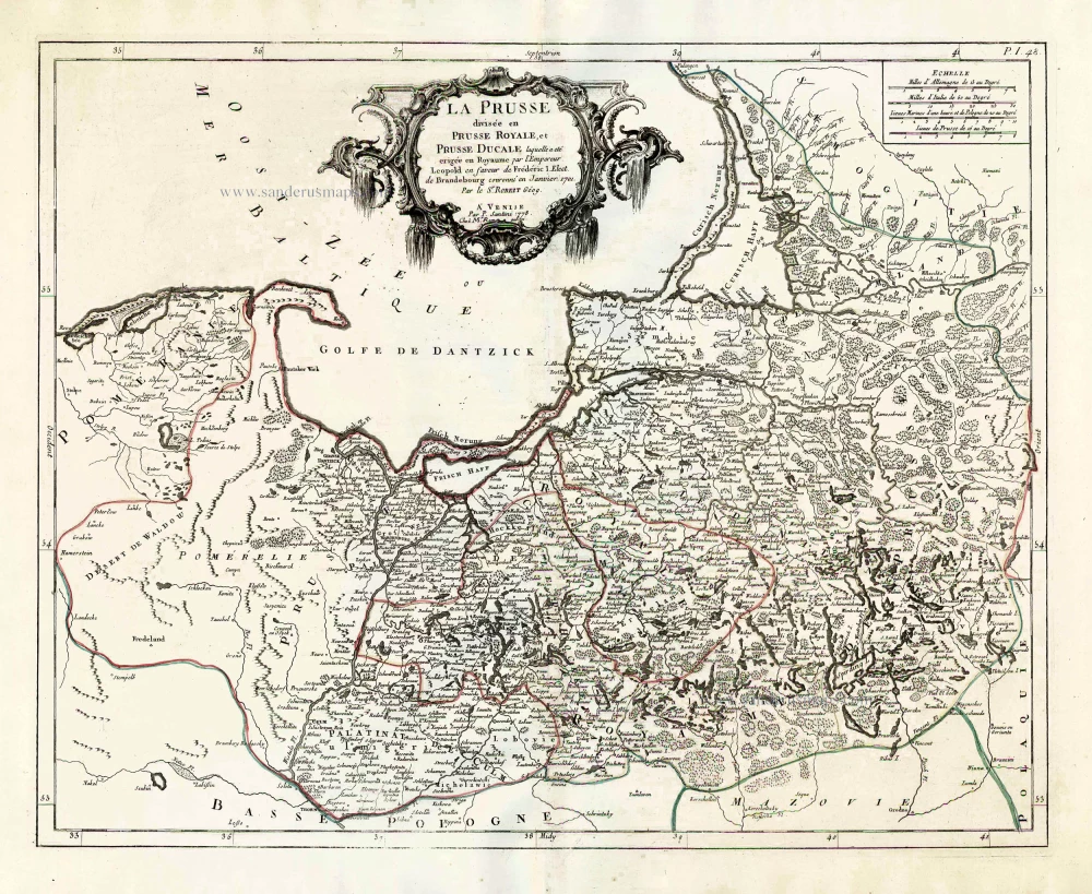
La Prusse divisée en Prusse Royale, et Prusse Ducale. 1776-79
Prussia, by Francesco Santini.
[Item number: 26967]
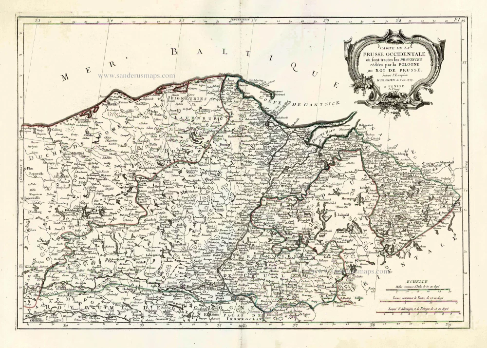
Carte de la Prusse Occidentale où sont tracées les Provinces cédées par la Pologne au Roi de Prusse. 1776-79
Prussia, by Francesco Santini.
[Item number: 26968]
Polonia. 1609
Poland, by Abraham Ortelius.
[Item number: 27696]
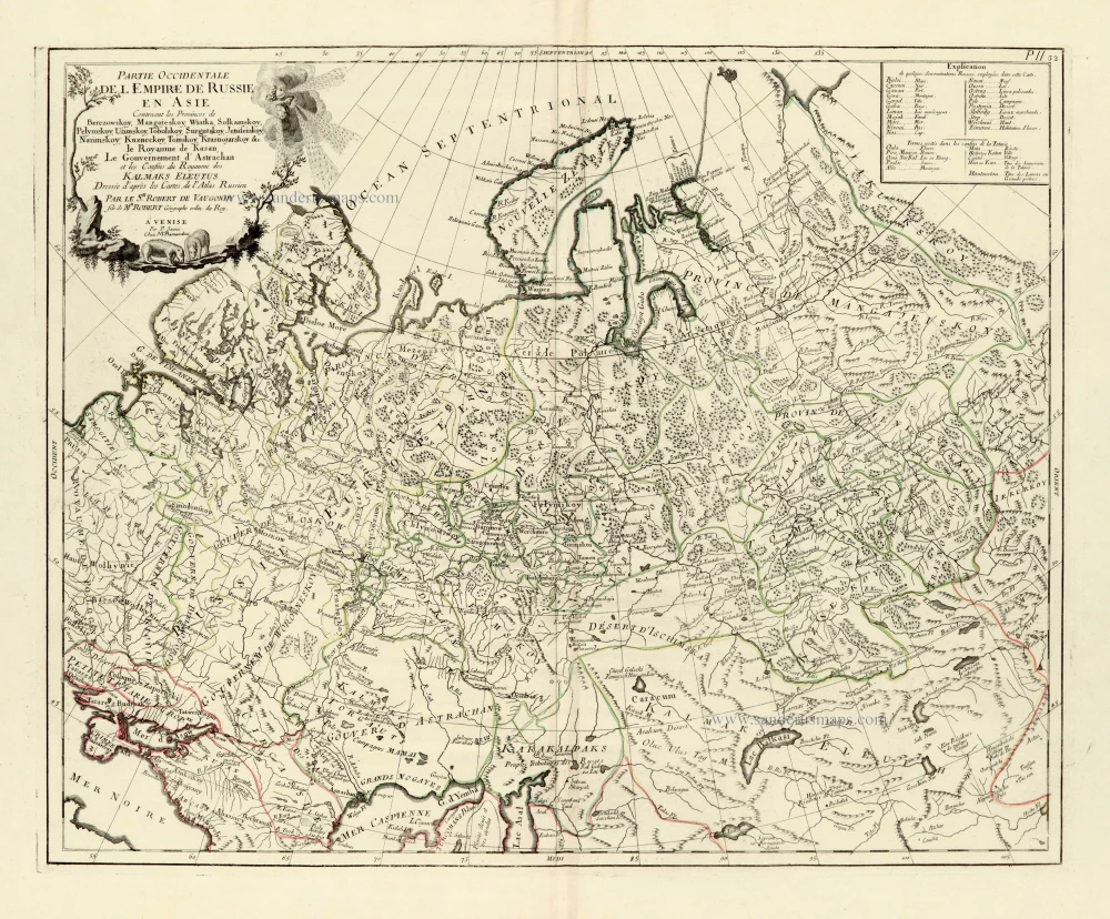
Partie Occidentale de l'Empire de Russie en Asie. 1776-79
Russia (East), by Paolo Santini.
[Item number: 28093]

Regni Prussiae et Prussiae Polonicae. after 1721
Prussia by Frederik de Wit, published by Covens & Mortier.
[Item number: 28263]
Tabula Prussiae Eximia Cura Conscripta. c. 1678
Prussia by Nicolaes Visscher I.
[Item number: 28537]
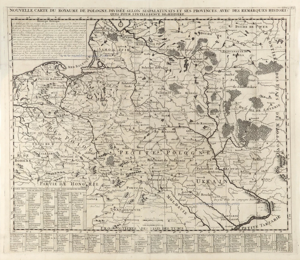
Nouvelle Carte du Royaume de Pologne, divisée selon ses Palatinats et ses Provinces, avec des Remarques Historiques pour l'Intelligence de l'Histoire. 1714
Poland by Zacharias Châtelain.
[Item number: 29427]
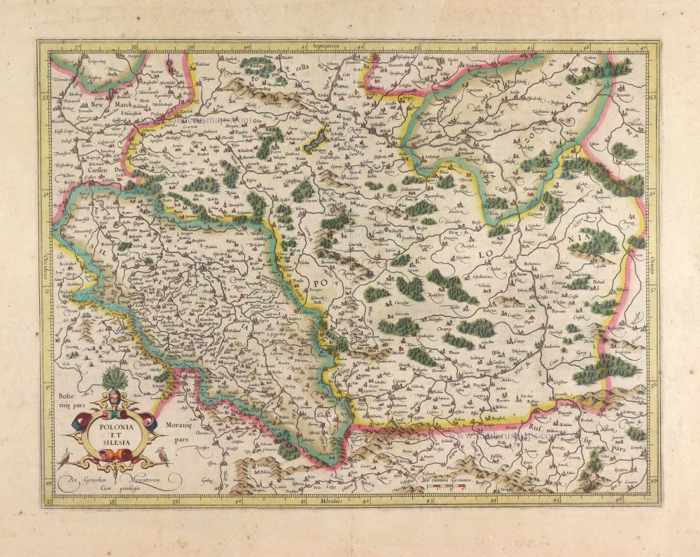
Polonia et Silesia. 1613
Poland, by Gerard Mercator.
[Item number: 29762]
Exceptional nice copy of the first edition
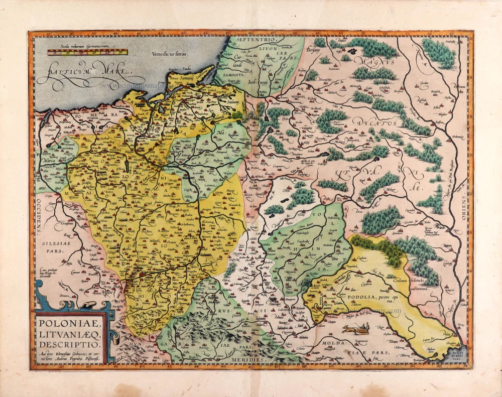
Poloniae, Lituaniaeq. Descriptio. 1595
Lithuania, Poland & Ukraine by Abraham Ortelius
[Item number: 29857]
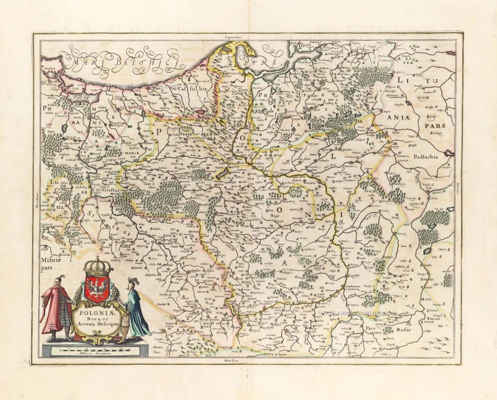
Poloniae Nova et Descriptio. 1653
Poland by Johannes Janssonius.
[Item number: 30345]
Prussiae Vera Descriptio. 1601
Prussia (Poland) by Abraham Ortelius.
[Item number: 30679]