
Europe by Nicolas Sanson. 1659

Nicolas Sanson (1600-1667) - Guillaume Sanson (1633-1703)
Originally from Abbeville, Nicolas I Sanson showed a keen interest in historical geography. Still very young, he published a map of ancient Gaul and two treatises, Britannia and Portus Itius on Abbeville and Boulogne's origins. His meeting with Melchior Tavernier was decisive: it prompted him to give up his duties as a military engineer in Picardy and devote himself to engraved cartography.
At the same time, Sanson had drawn up the outline of modern France. He got the help of Tavernier who encouraged him to compete with the Dutch map publishers. Tavernier contacted other French cartographers whose works he published.
From 1643, N. Sanson obtained a privilege to publish a work personally, the Princes souverains de l'Italie. Then, in 1644 and 1645, he had his famous geographical tables printed, which significantly contributed to his fame. He also published a series of atlases in quarto of the four continents.
In 1648, N. Sanson associated himself with Mariette for the publishing of atlases. From then on, certain maps bore his name, and others Mariette's. N. Sanson and Mariette worked together for more than 20 years. After the death of N. Sanson, Mariette acquired the entire fund. Since Mariette only wanted to publish complete atlases, individual maps were no longer sold, and some army generals complained to the king.
The disagreement between the Sanson family and Pierre II Mariette culminated in 1671 when Guillaume Sanson took the case to court. From then on, there was no longer any question of collaboration: Guillaume Sanson started working for another publisher, Alexis-Hubert Jaillot.
The Sanson family faced financial difficulties, and in 1692, their cousin, Pierre Moullart-Sanson, bought the entire geographic fund from his uncles and aunt. Moullart-Sanson restarted the publishing of Sanson's world atlas, and in 1704 he acquired a privilege for publishing all the works of Nicolas and Guillaume Sanson, which continued to be published until 1730.
Pierre Mariette (1602-1658)
Bookseller, printseller, printer, and publisher, located in the Rue Saint-Jacques in Paris. On February 12, 1644, Pierre Mariette acquired most of Melchior Tavernier's fund. In 1646, he had a series of maps by Blaeu copied and asked Abraham Peyrounin to engrave them. In the meantime, he published the works of Nicolas Sanson. In 1650, he published the atlas Théâtre Géographique de France. A second edition followed in 1653. He later contributed to Sanson's atlas, the Cartes générales de toutes les parties du monde. Many maps of Mariette's Théatre appeared in later editions of Sanson's Cartes générales.
L'Europe.
Item Number: 33249 new Authenticity Guarantee
Category: Antique maps > Europe > Europe Continent
Europe by Nicolas Sanson.
Title: L'Europe.
Par le Sr Sanson d'Abbeville Geographe du Roy.
A Paris Chez l'Autheur Et chez Pierre Mariette Rue S. Iaques a L'Esperance.
Avec privil: du Roy pour 20 Ans.
Date of the first edition: 1650.
Date of this map: 1659.
Copper engraving, printed on paper.
Image size: 395 x 560mm (15½ x 22 inches).
Sheet size: 430 x 580mm (17 x 22¾ inches).
Verso: Blank.
Condition: Original coloured in outline, excellent.
Condition Rating: A+.
From: Cartes generales de toutes les parties du monde, ou les empires, monarchies, republiques, estats, peuples,&c. le l'Asie, de l'Afrique, de l'Europe, & de l'Amerique, ... Par le Sieur d'Abbeville, A Paris, chez l'auteur, ... Et chez Pierre Mariette, M.DC.LVIII [1658]. (Pastoureau, Sanson V A 1658). (Qui doit être de 1659 car la table indique la Westphalie. - Pastoureau)
Nicolas Sanson (1600-1667) - Guillaume Sanson (1633-1703)
Originally from Abbeville, Nicolas I Sanson showed a keen interest in historical geography. Still very young, he published a map of ancient Gaul and two treatises, Britannia and Portus Itius on Abbeville and Boulogne's origins. His meeting with Melchior Tavernier was decisive: it prompted him to give up his duties as a military engineer in Picardy and devote himself to engraved cartography.
At the same time, Sanson had drawn up the outline of modern France. He got the help of Tavernier who encouraged him to compete with the Dutch map publishers. Tavernier contacted other French cartographers whose works he published.
From 1643, N. Sanson obtained a privilege to publish a work personally, the Princes souverains de l'Italie. Then, in 1644 and 1645, he had his famous geographical tables printed, which significantly contributed to his fame. He also published a series of atlases in quarto of the four continents.
In 1648, N. Sanson associated himself with Mariette for the publishing of atlases. From then on, certain maps bore his name, and others Mariette's. N. Sanson and Mariette worked together for more than 20 years. After the death of N. Sanson, Mariette acquired the entire fund. Since Mariette only wanted to publish complete atlases, individual maps were no longer sold, and some army generals complained to the king.
The disagreement between the Sanson family and Pierre II Mariette culminated in 1671 when Guillaume Sanson took the case to court. From then on, there was no longer any question of collaboration: Guillaume Sanson started working for another publisher, Alexis-Hubert Jaillot.
The Sanson family faced financial difficulties, and in 1692, their cousin, Pierre Moullart-Sanson, bought the entire geographic fund from his uncles and aunt. Moullart-Sanson restarted the publishing of Sanson's world atlas, and in 1704 he acquired a privilege for publishing all the works of Nicolas and Guillaume Sanson, which continued to be published until 1730.
Pierre Mariette (1602-1658)
Bookseller, printseller, printer, and publisher, located in the Rue Saint-Jacques in Paris. On February 12, 1644, Pierre Mariette acquired most of Melchior Tavernier's fund. In 1646, he had a series of maps by Blaeu copied and asked Abraham Peyrounin to engrave them. In the meantime, he published the works of Nicolas Sanson. In 1650, he published the atlas Théâtre Géographique de France. A second edition followed in 1653. He later contributed to Sanson's atlas, the Cartes générales de toutes les parties du monde. Many maps of Mariette's Théatre appeared in later editions of Sanson's Cartes générales.
Related items

Europa Pars Tenet haec Mundi Reliquas Celeberrima Partes c. 1730.
Europe by G.& L. Valk.
[Item number: 24536]

Lumen Historiarum per Occidentem. . . . 1624
Europe - Western Mediterranean Sea, by A. Ortelius.
[Item number: 26573]

Europa. 1600
Europe, by Matthias Quad.
[Item number: 26666]

Scarce woodcut map
Europae. [Above the map :] La Carte d'Europe. 1575
Europe, by François de Belleforest.
[Item number: 27270]
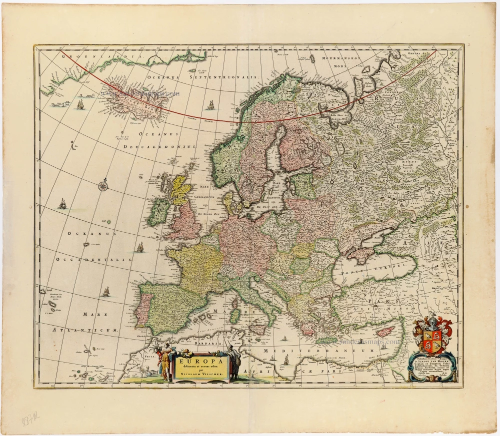
Europa delineata et recens edita. c. 1680
Europe by Nicolaas Visscher II.
[Item number: 28712]

Nova et Accurate Divisa in Regna et Regiones Praecipuas Europae Descriptio. c. 1691-96
Europe, by Frederick de Wit;
[Item number: 29233]

L'Europe Dreßée sur les Observations de Mrs. de l'Academie Royale des Sciences et quelques autres, & sur les memoires les plus recens. 1700-1708
Europe, by Guillaume Delisle, published by Pierre Mortier.
[Item number: 29519]

Europa Vetus. 1667-69
Ancient Europe by Nicolas & Guillaume Sanson.
[Item number: 30000]
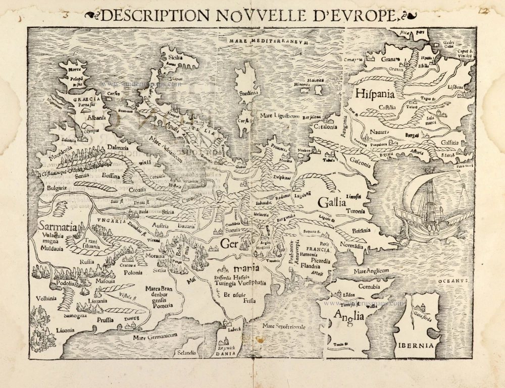
Description Nouvelle d'Europe. 1568
Europe by Sebastian Münster
[Item number: 30523]

Scarce map
Europam sive Celticam Veterem c. 1630-1650
Europe by Evert van Hamersveldt, published by Johannes Janssonius.
[Item number: 30838]

Europae. 1612
Europe, by Abraham Ortelius.
[Item number: 30944]

Rare
Nova Totius Europae Tabula ex magnis Gerardi de Iudaeis P. desumpta 1593
Europe by Cornelis de Jode
[Item number: 30946]

L'Europe Divisée Suivant l'Estendue de ses Principaux Estats subdivisés en leurs principales Provinces. 1692
Europe, by N. Sanson, so-called published by Hubert Jaillot. (Pirated edition by Pierre Mortier).
[Item number: 31138]

Europa Christiani Orbis Domina in sua Imperia, Regna, et Styatus exacte divisa 1712
Europe by J.B. Homann
[Item number: 32098]
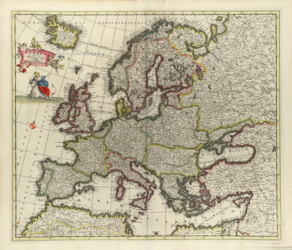
Accuratissima Europae Tabula. 1696-1713
Europe by J. Danckerts.
[Item number: 32457]

L' Europa. 1677
Europe by Giovanni De Rossi, after Nicolas Sanson.
[Item number: 32886]

Europa, ad Magnae Europae Gerardi Mercatoris P. Imitationem, Rumoldi Mercatoris F. Cura Edita, Seruato Tamen Initio Longitudinis ex Ratione Magnetis, quod Pater in Magna sua Universali Posuit. 1613
Europe by Gerard Mercator.
[Item number: 32928]

Scarce
Nova Europa Descriptio. 1689-90
Europe by Frederick de Wit
[Item number: 32974]
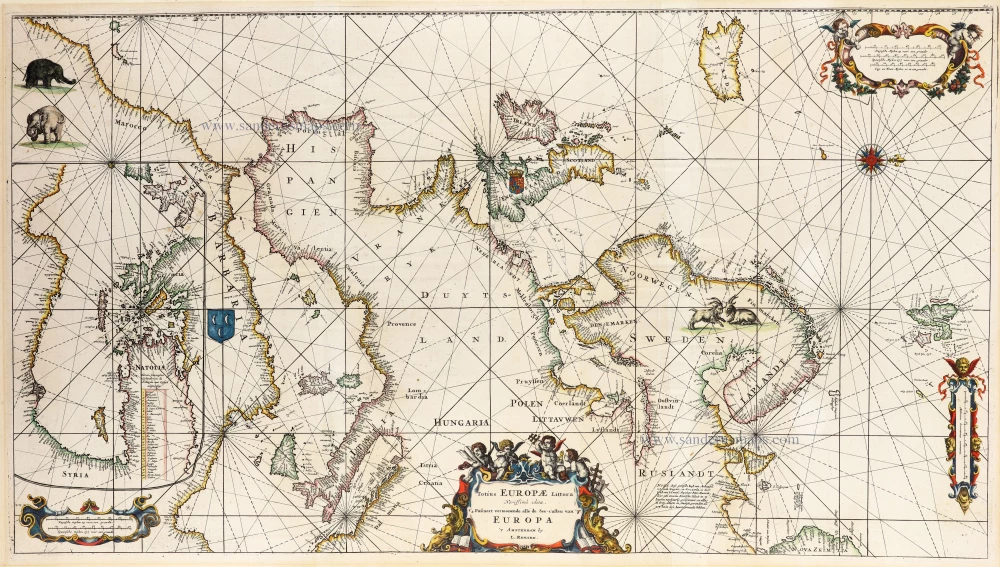
An impressive large sea chart of Europe.
Totius Europae Littora 1739
Europe by L. Renard after F. de Wit, published by R. & J. Ottens.
[Item number: 33024]

Carte de L'Europe, corrigée et augmentée dessus toutes les autres cy devant faictes c. 1630-1650
Europe by Petrus Bertius, published by Melchior Tavernier.
[Item number: 33121]
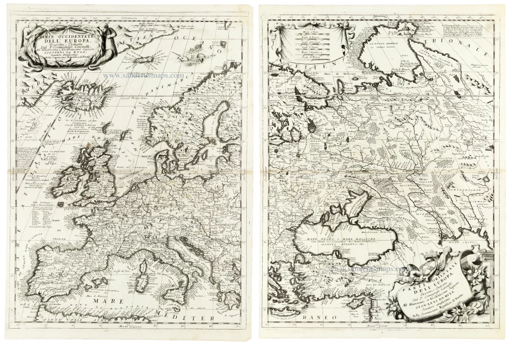
Parte Occidentale dell'Europa [in set with] Parte Orientale dell'Europa 1691
Europe, by V.M. Coronelli.
[Item number: 33305]
new