
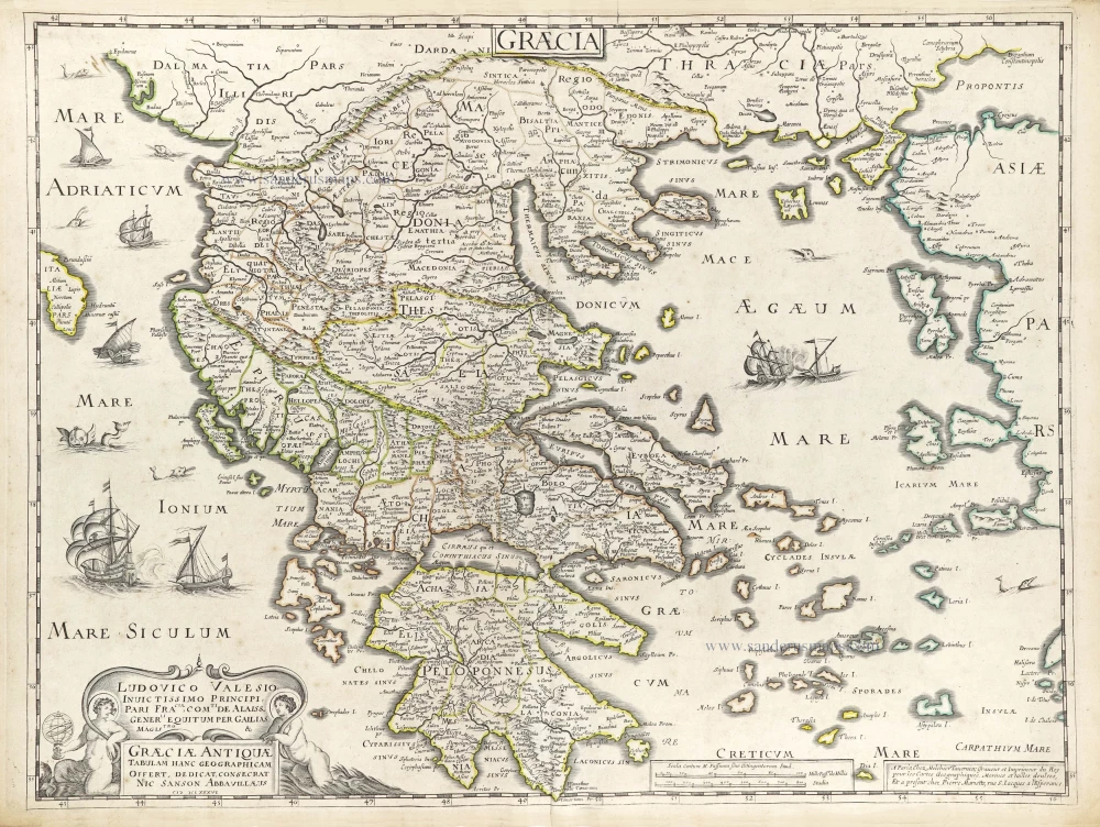
Greece, by Frederick de Wit. c. 1691-97


Frederick de Wit (1630-1706)
The engraver and map-seller, Frederick de Wit, was born in Gouda (Netherlands) in 1630 as a son of Hendrick Fredericksz de Wit. Through his marriage with Maria van der Waag of Amsterdam in 1661, he obtained citizenship of the city where he had been working since 1648 and where he became one of the most famous engravers of maps of the second half of the 17th century. Although De Wit was a Catholic, which meant that he was not favoured at the time by the city council, he was awarded the honour of being listed as one of the "excellent citizens" on the roll of the city council in the years 1694-1704. However, his name was not written in the Guild of St. Luke book before 1664. At that time, he lived on the Kalverstraat "in de Witte Pascaert", where he stayed until his death in 1706. His earliest dates on maps engraved are 1659 (Regni Daniae) and 1660 (World map).
Frederick de Wit published several world atlases, a sea atlas, and an atlas of the Netherlands.
The dating of the maps is difficult. However, as a privilege was granted in 1689, the annotation 'cum privilegio' marks an edition after 1688.
Around 1700, Frederick de Wit entered the market with a town atlas. He produced two volumes with a total of 260 plans and views. Most were printed from plates used for Janssonius and Blaeu town atlases.
After he died in 1706, his widow continued the shop until 1709. The plates and stock of De Wit's atlas were sold to Covens & Mortier in 1710, who sold the atlas for an extended period.
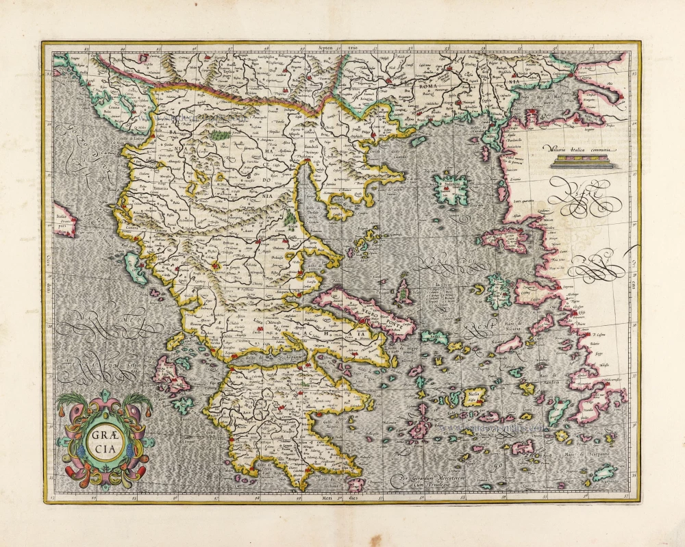
Accurata totius Archipelagi et Graeciae Universae Tabula.
Item Number: 29255 Authenticity Guarantee
Category: Antique maps > Europe > Greece & Greek Islands
Old, antique map of Greece, by Frederick de Wit.
Title: Accurata totius Archipelagi et Graeciae Universae Tabula.
Multis locis hodiernis recens Aucta et Correcta.
Per F. de Wit.
Cartographer: Johannes Laurenberg.
Date of the first edition: c. 1671-76.
Date of this map: c. 1691-97.
Copper engraving, printed on paper.
Size (not including margins): 435 x 530mm (17.13 x 20.87 inches).
Verso: Blank.
Condition: Original coloured, partially backed with archival paper.
Condition Rating: A.
From: De Wit Atlas. Amsterdam, c. 1691-97.
Frederick de Wit (1630-1706)
The engraver and map-seller, Frederick de Wit, was born in Gouda (Netherlands) in 1630 as a son of Hendrick Fredericksz de Wit. Through his marriage with Maria van der Waag of Amsterdam in 1661, he obtained citizenship of the city where he had been working since 1648 and where he became one of the most famous engravers of maps of the second half of the 17th century. Although De Wit was a Catholic, which meant that he was not favoured at the time by the city council, he was awarded the honour of being listed as one of the "excellent citizens" on the roll of the city council in the years 1694-1704. However, his name was not written in the Guild of St. Luke book before 1664. At that time, he lived on the Kalverstraat "in de Witte Pascaert", where he stayed until his death in 1706. His earliest dates on maps engraved are 1659 (Regni Daniae) and 1660 (World map).
Frederick de Wit published several world atlases, a sea atlas, and an atlas of the Netherlands.
The dating of the maps is difficult. However, as a privilege was granted in 1689, the annotation 'cum privilegio' marks an edition after 1688.
Around 1700, Frederick de Wit entered the market with a town atlas. He produced two volumes with a total of 260 plans and views. Most were printed from plates used for Janssonius and Blaeu town atlases.
After he died in 1706, his widow continued the shop until 1709. The plates and stock of De Wit's atlas were sold to Covens & Mortier in 1710, who sold the atlas for an extended period.
Related items
Parergon map
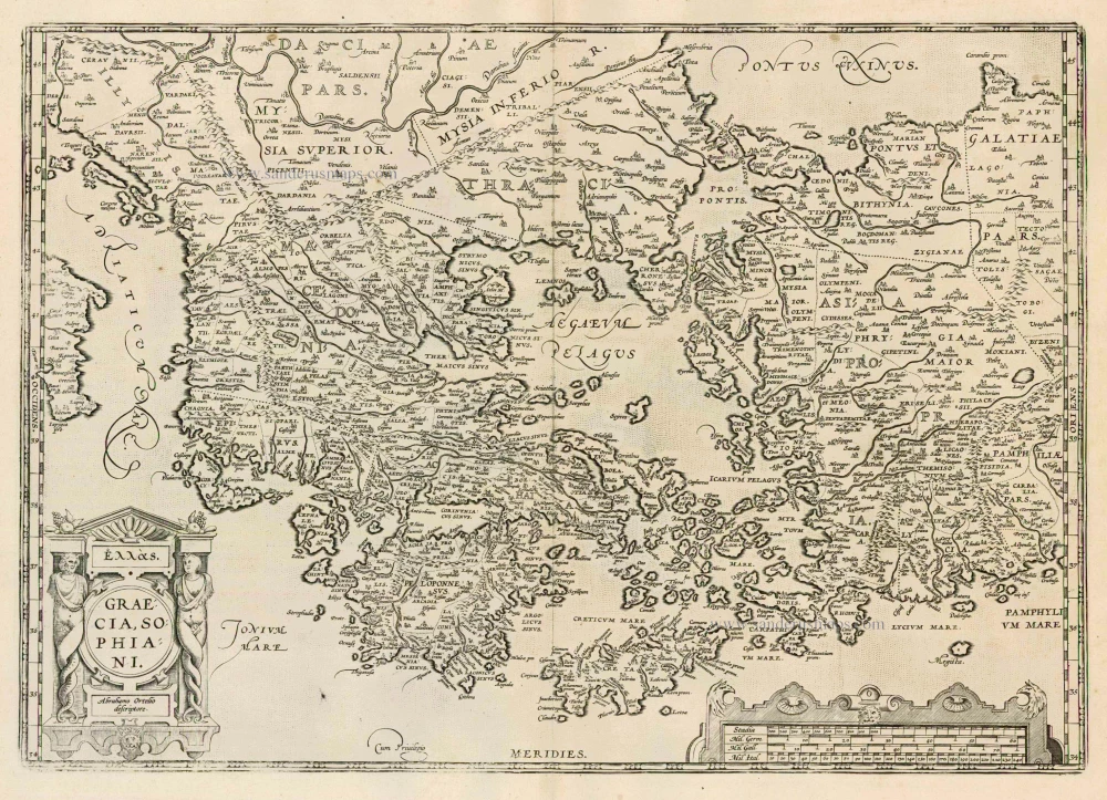
Graecia, Sophiani. 1624
Greece, by Ortelius A.
[Item number: 2050]
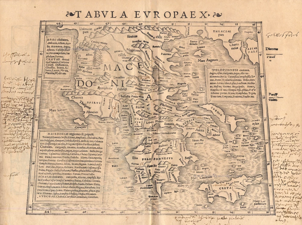
Tabula Europae X 1542
Greece, by Sebastian Münster.
[Item number: 14704]
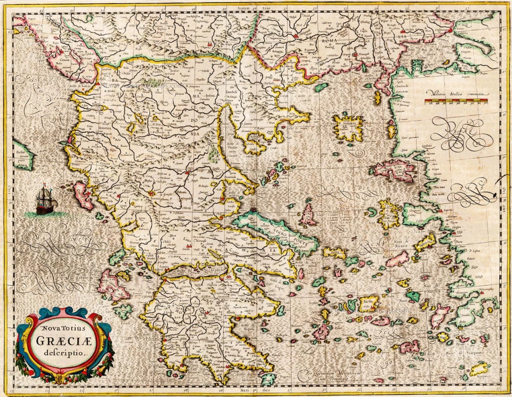
Nova Totius Graeciae descriptio. 1638
Greece, by J. Janssonius.
[Item number: 15357]
Graecia. 1633
Greece, by Gerard Mercator.
[Item number: 16999]

Graeciae Universae Secundum Hodiernum Situm Neoterica Descriptio. Jacobo Castaldo Pedemontano Autore. 1608
Greece, by Matthias Quad.
[Item number: 18856]
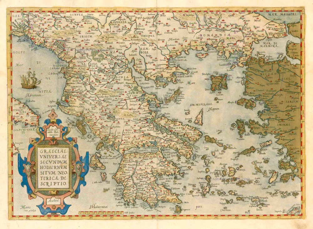
Graeciae Universae Secundum Hodiernum Situm Neoterica Descriptio. 1579
GREECE by Abraham Ortelius
[Item number: 23539]
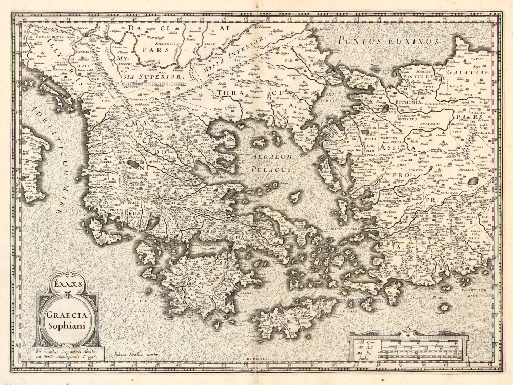
Graecia Sophiani / Ex conatibus geographicis Abrahami Ortelii Antuerpiensis Ao. 1596 / Judocus Hondius excudit. 1618
Greece, by Bertius P. - Hondius J.
[Item number: 24541]
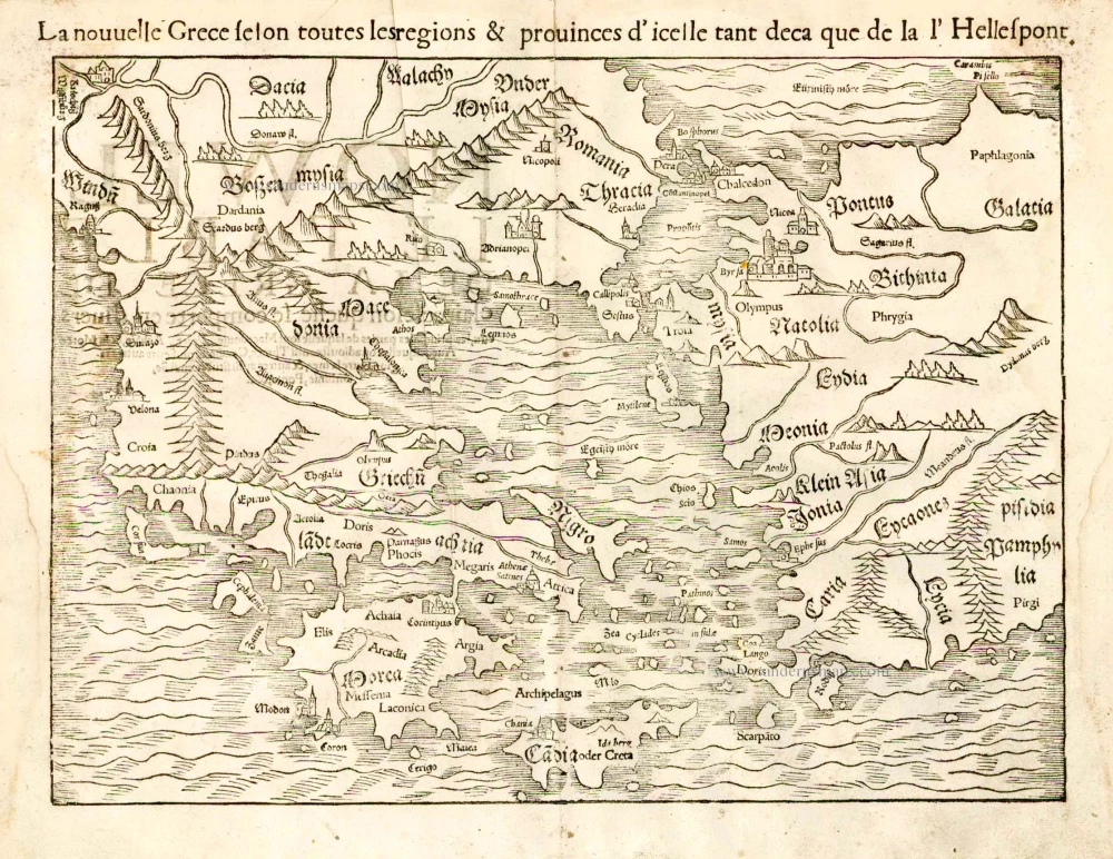
La nouvelle Grece selon toutes les regions & provinces d'icelle tant deca que de la l'Hellespont. 1555
Greece, by S. Munster.
[Item number: 25168]

Turquie en Europe. 1713
Greece, by P. Van der Aa.
[Item number: 26076]
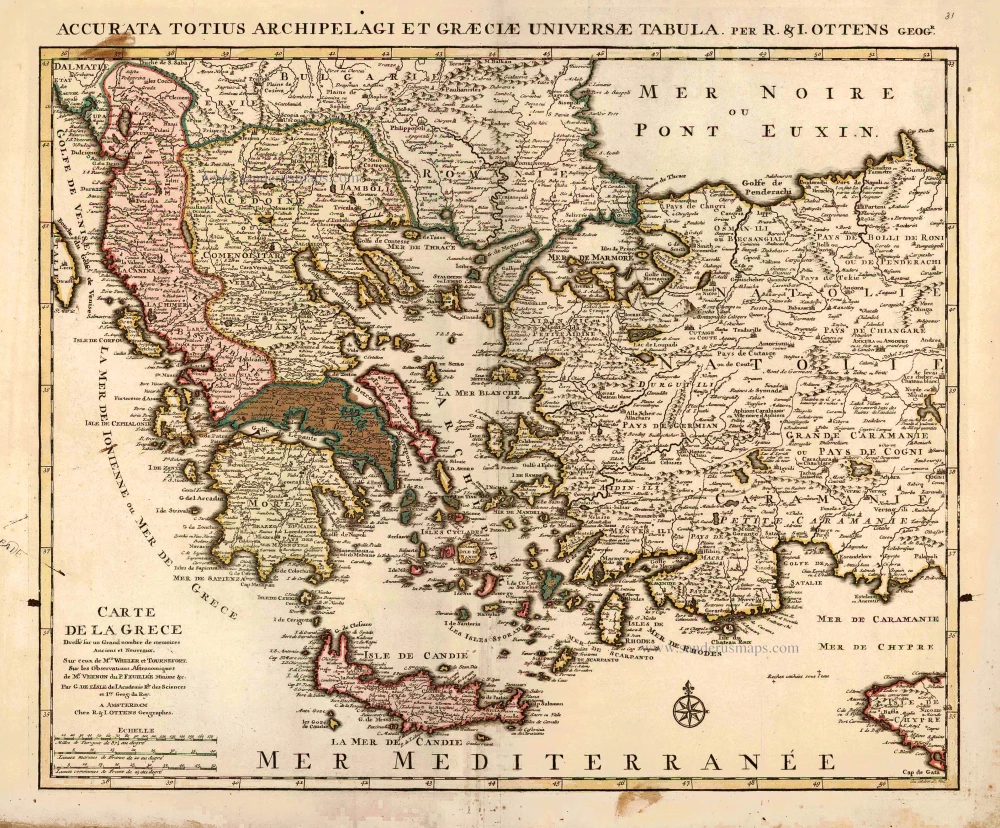
Carte de la Grece. 1725-50
Greece by Reinier & Josua Ottens
[Item number: 27699]
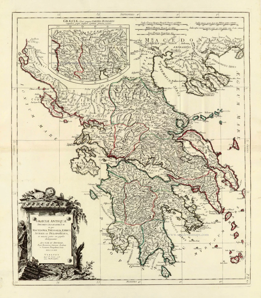
Graeciae Antiquae 1776-79
Ancient Greece, by Paolo Santini, after Jean-Baptiste Bourguignon d'Anville.
[Item number: 28108]
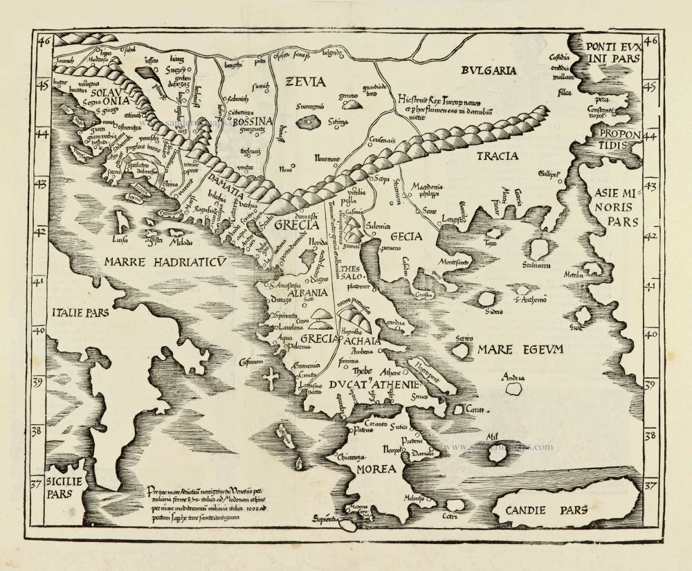
Ta Moder Bossinae, Serviae, Graeciae, et Sclavoniae. [From verso] 1525
Greece (Balkan), by Lorenz Fries after Martin Waldseemüller.
[Item number: 28117]
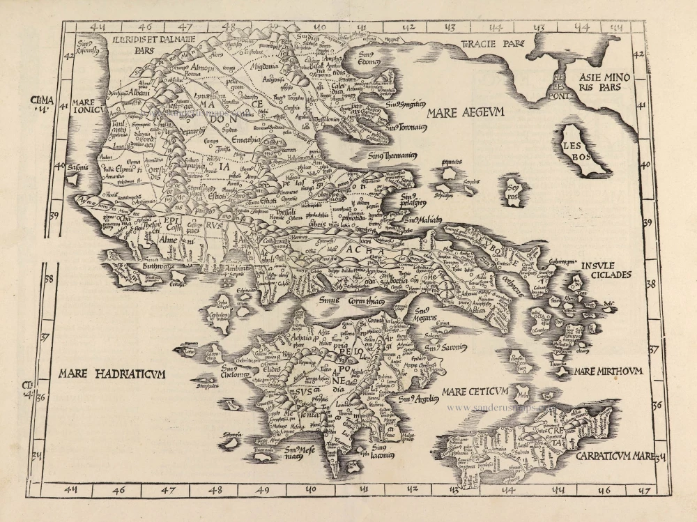
Tabula .X. Europae. [Title on verso] 1525
Ptolemy map of Greece by Lorenz Fries, after Martin Waldseemüller.
[Item number: 28196]
Graecia. 1658
Greece by Nicolas Sanson.
[Item number: 28498]
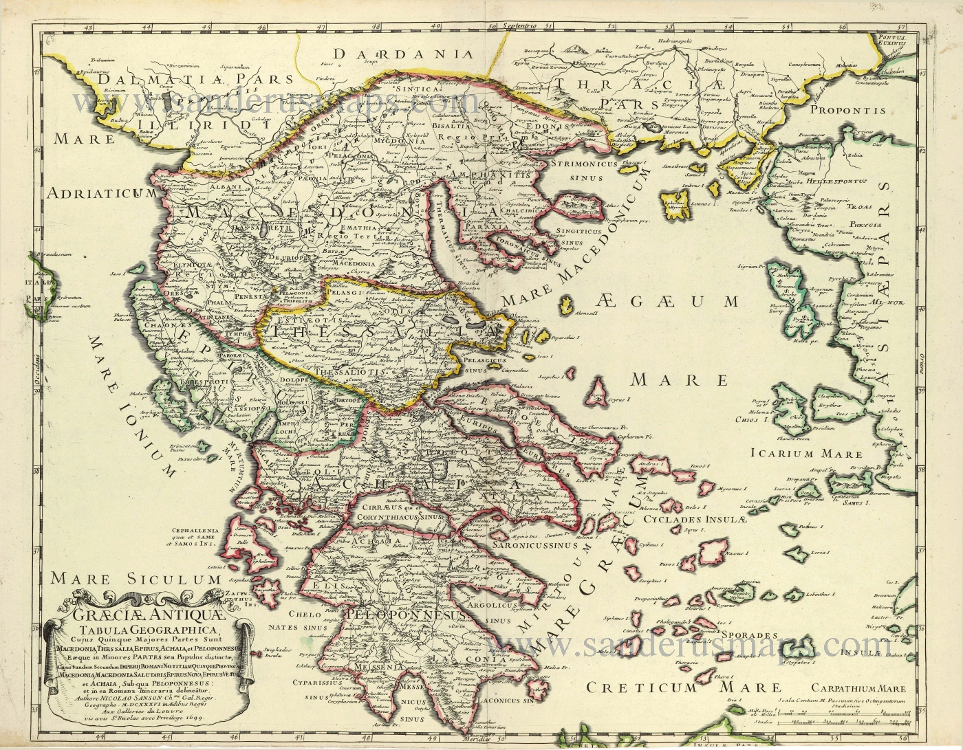
Graeciae Antique Tabula Geographica; 1699-1710
Greece by Nicolas & Guillaume Sanson.
[Item number: 28575]
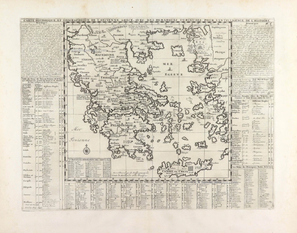
Carte Historique et Géographique de l'ancienne Grèce, avec les remarques Cursieuses pour l'intelligence de l'Histoire. 1713
Greece by Zacharias Châtelain.
[Item number: 29553]
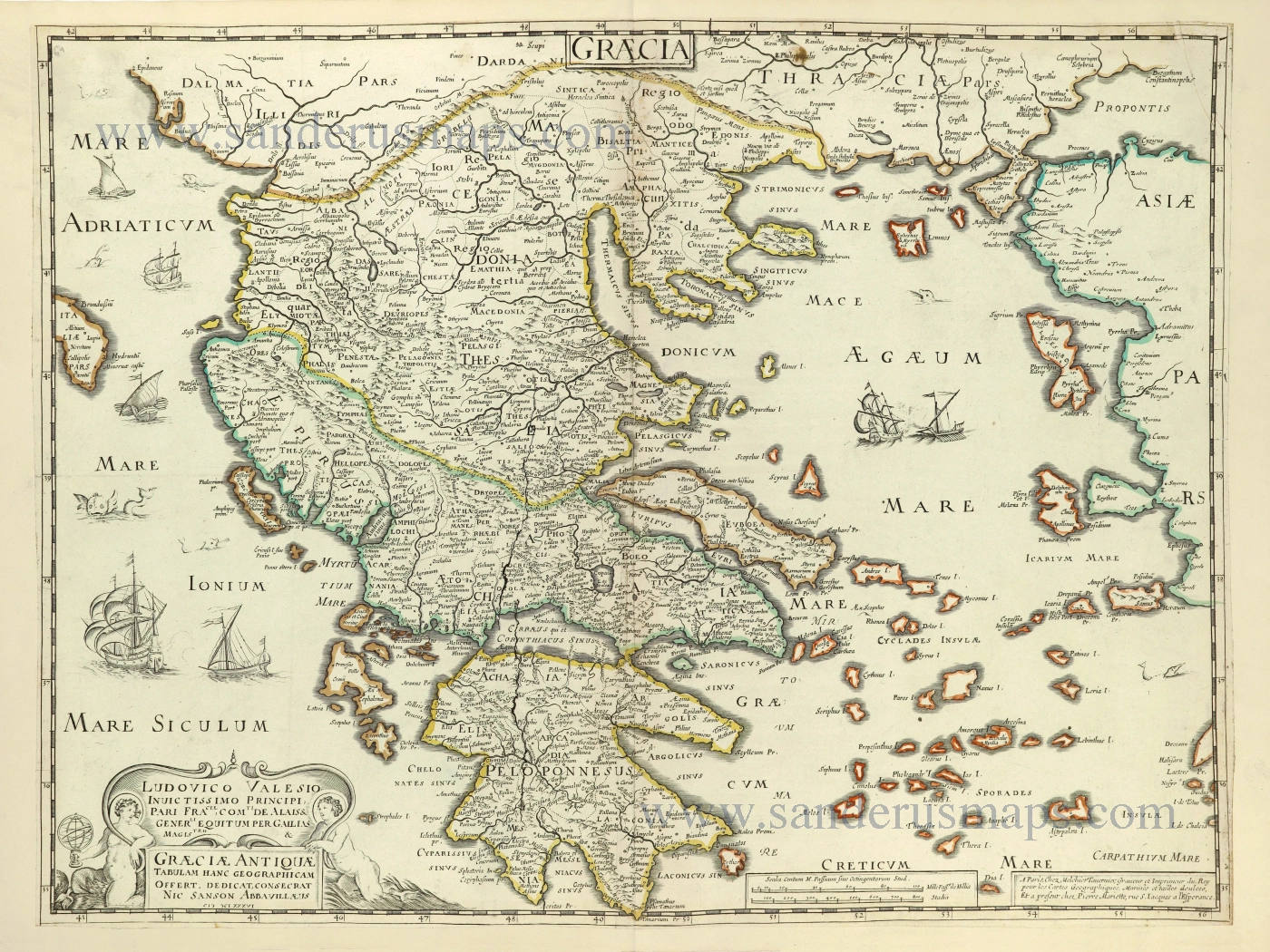
Graecia - Graeciae Antiquae Tabulam. 1652
Ancient Greece by Nicolas Sanson.
[Item number: 29693]

Arcipelago - [Above map :] Descrittione dell'Arcipelago. 1590
Greece by Thomaso Porcacchi.
[Item number: 29769]