
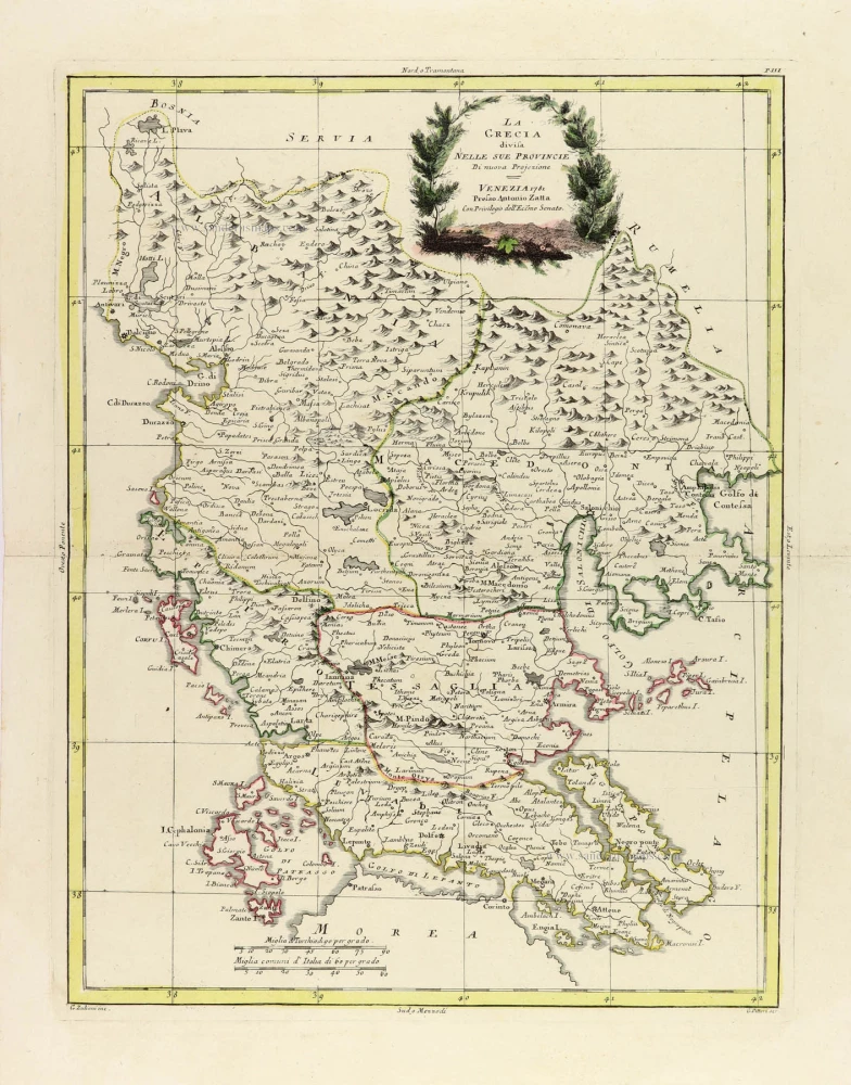
Greece & Albania, by Antonio Zatta. 1779-1785
Antonio Zatta (ca. 1722-1804)
Antonio Zatta was an influential Italian cartographer and publisher based in Venice during the 18th century. As one of the last great mapmakers of the Italian Enlightenment, Zatta played a crucial role in preserving and advancing the art of cartography at a time when Venice's status as a centre for mapmaking was in decline.
Little is known about his early life, but Zatta established himself as a prolific publisher and printer, producing a wide range of works including atlases, city plans, and historical maps. His most celebrated achievement is the Atlante Novissimo, published between 1775 and 1785. This monumental four-volume atlas is considered one of the finest Italian cartographic productions of its time. It combined contemporary geographical knowledge with elegant artistry, featuring detailed hand-coloured maps, elaborate title cartouches, and decorative embellishments characteristic of the late Baroque style.
Zatta’s work is notable for incorporating the latest geographical discoveries alongside classical and historical information, reflecting the Enlightenment's emphasis on reason, exploration, and empirical knowledge. He published maps covering all parts of the known world, including detailed representations of Europe, the Americas, and Asia, often updating older cartographic models with new data from explorers and diplomats.
Among his notable contributions is one of the earliest printed maps depicting the newly independent United States after the American Revolutionary War. Zatta's 1778 map, "Gli Stati Uniti della America Settentrionale," adapted English and French sources, marking a significant moment in the cartographic recognition of the United States.
Antonio Zatta's legacy endures through the beauty and precision of his maps, which continue to be prized by collectors and historians alike for their artistic merit and historical value. His works offer a window into the geographical understanding and visual culture of the 18th century, securing his place among the notable figures of cartographic history.
La Grecia divisa nelle sue Provincie.
Item Number: 32307 Authenticity Guarantee
Category: Antique maps > Europe > Greece & Greek Islands
Greece & Albania, by Antonio Zatta.
Title: La Grecia divisa nelle sue Provincie.
Di nuova Projezione.
Venezia 1781 | Presso Antonio Zatta.
Con Privilegio dell' Eccmo Senato.
G. Zuliani inc. G Pitteri scr.
Engraver: Giuliano Zuliani & Giovanni Pitteri.
Date of the first edition: 1779-1785.
Date of this map: 1779-1785.
Date on map: 1781.
Copper engraving, printed on paper.
Image size: 410 x 315mm (16¼ x 12½ inches).
Sheet size: 510 x 390mm (20 x 15¼ inches).
Verso: Blank.
Condition: Original coloured, excellent.
Condition Rating: A+.
From: Atlante novissimo, illustrato ed accresciuto sulle osservazioni, e scoperte fatte dai più celebri e più recenti geografi, che ora per la prima volta si produce. Venice, Antonio Zatta, 1779-1785.
Antonio Zatta (ca. 1722-1804)
Antonio Zatta was an influential Italian cartographer and publisher based in Venice during the 18th century. As one of the last great mapmakers of the Italian Enlightenment, Zatta played a crucial role in preserving and advancing the art of cartography at a time when Venice's status as a centre for mapmaking was in decline.
Little is known about his early life, but Zatta established himself as a prolific publisher and printer, producing a wide range of works including atlases, city plans, and historical maps. His most celebrated achievement is the Atlante Novissimo, published between 1775 and 1785. This monumental four-volume atlas is considered one of the finest Italian cartographic productions of its time. It combined contemporary geographical knowledge with elegant artistry, featuring detailed hand-coloured maps, elaborate title cartouches, and decorative embellishments characteristic of the late Baroque style.
Zatta’s work is notable for incorporating the latest geographical discoveries alongside classical and historical information, reflecting the Enlightenment's emphasis on reason, exploration, and empirical knowledge. He published maps covering all parts of the known world, including detailed representations of Europe, the Americas, and Asia, often updating older cartographic models with new data from explorers and diplomats.
Among his notable contributions is one of the earliest printed maps depicting the newly independent United States after the American Revolutionary War. Zatta's 1778 map, "Gli Stati Uniti della America Settentrionale," adapted English and French sources, marking a significant moment in the cartographic recognition of the United States.
Antonio Zatta's legacy endures through the beauty and precision of his maps, which continue to be prized by collectors and historians alike for their artistic merit and historical value. His works offer a window into the geographical understanding and visual culture of the 18th century, securing his place among the notable figures of cartographic history.
Related items
Parergon map
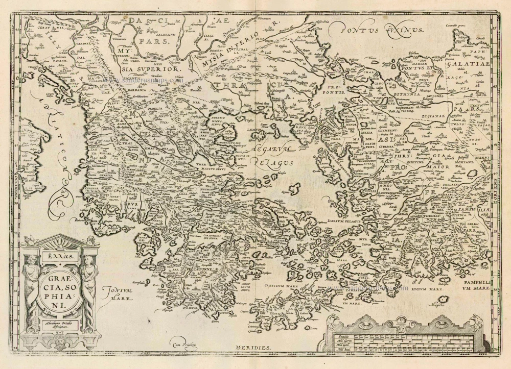
Graecia, Sophiani. 1624
Greece, by Ortelius A.
[Item number: 2050]
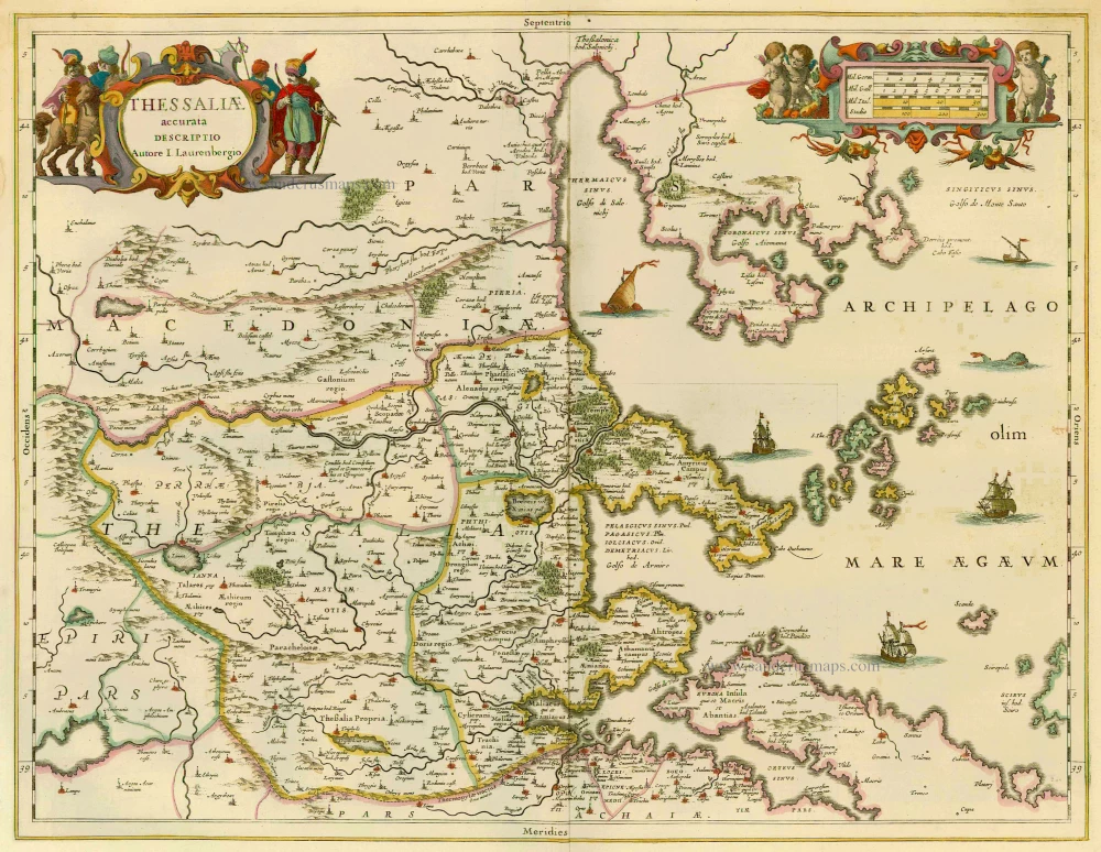
Thessaliae Accurata Descriptio 1658
Greece - Thessalia by Janssonius J.
[Item number: 12300]
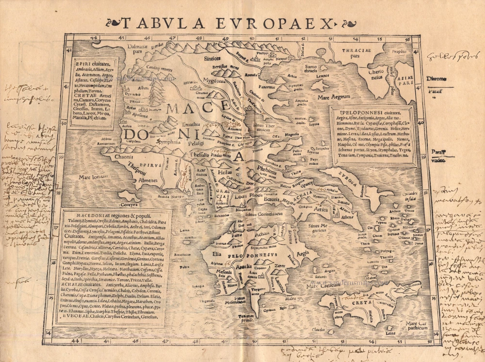
Tabula Europae X 1542
Greece, by Sebastian Münster.
[Item number: 14704]
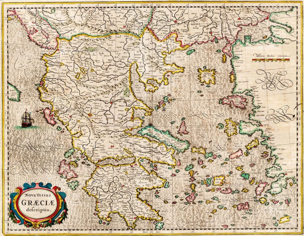
Nova Totius Graeciae descriptio. 1638
Greece, by J. Janssonius.
[Item number: 15357]
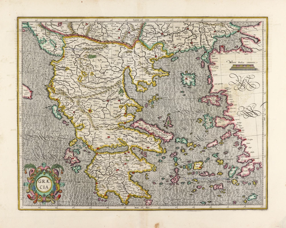
Graecia. 1633
Greece, by Gerard Mercator.
[Item number: 16999]

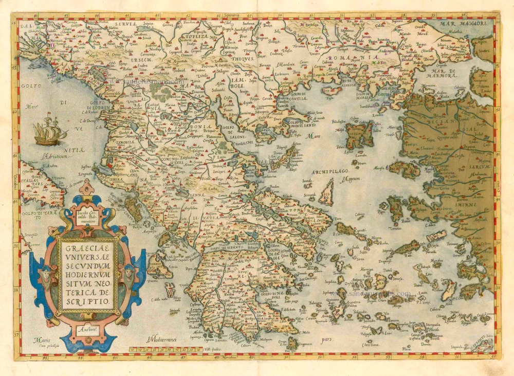
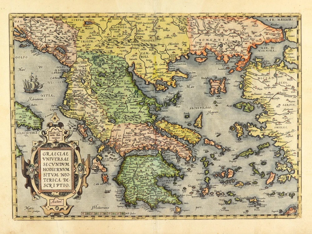
Graeciae Universae Secundum Hodiernum Situm Neoterica Descriptio. Jacobo Castaldo Pedemontano Autore. 1608
Greece, by Matthias Quad.
[Item number: 18856]

Carte de la Grèce contenant l'Etat present de l'Eglise Grecque & ce qui regarde les Ecclésiastiques 1719
GREECE by Châtelain
[Item number: 19126]
Graeciae Universae Secundum Hodiernum Situm Neoterica Descriptio. 1579
GREECE by Abraham Ortelius
[Item number: 23539]
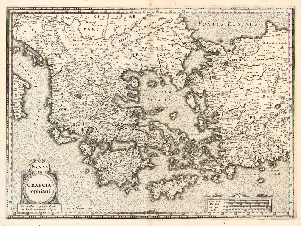
Graecia Sophiani / Ex conatibus geographicis Abrahami Ortelii Antuerpiensis Ao. 1596 / Judocus Hondius excudit. 1618
Greece, by Bertius P. - Hondius J.
[Item number: 24541]
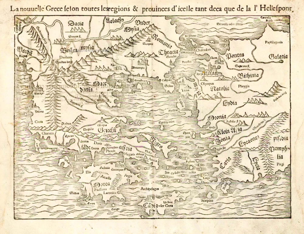
La nouvelle Grece selon toutes les regions & provinces d'icelle tant deca que de la l'Hellespont. 1555
Greece, by S. Munster.
[Item number: 25168]

Turquie en Europe. 1713
Greece, by P. Van der Aa.
[Item number: 26076]
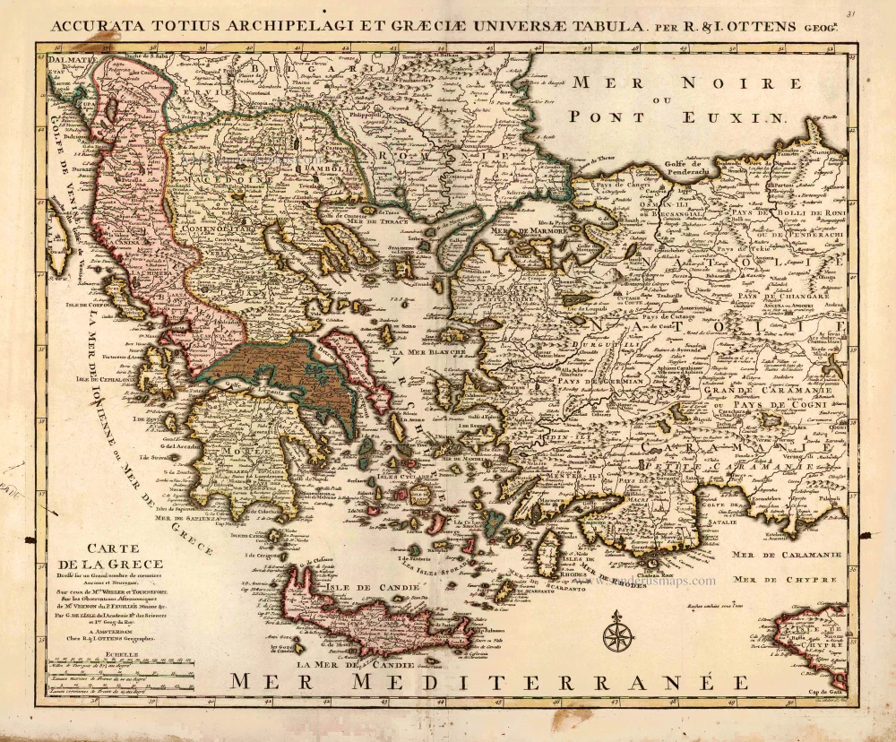
Carte de la Grece. 1725-50
Greece by Reinier & Josua Ottens
[Item number: 27699]
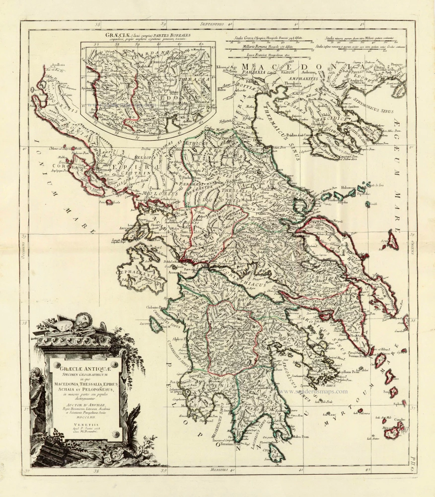
Graeciae Antiquae 1776-79
Ancient Greece, by Paolo Santini, after Jean-Baptiste Bourguignon d'Anville.
[Item number: 28108]
Ta Moder Bossinae, Serviae, Graeciae, et Sclavoniae. [From verso] 1525
Greece (Balkan), by Lorenz Fries after Martin Waldseemüller.
[Item number: 28117]
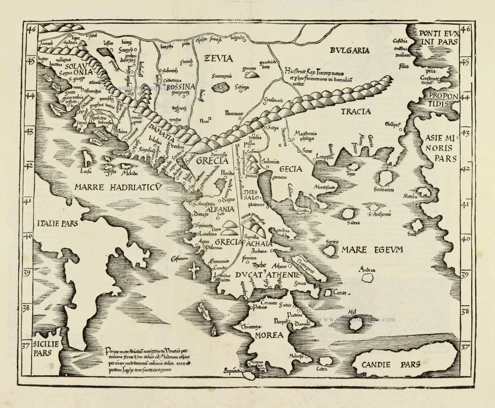
Tabula .X. Europae. [Title on verso] 1525
Ptolemy map of Greece by Lorenz Fries, after Martin Waldseemüller.
[Item number: 28196]
Graecia. 1658
Greece by Nicolas Sanson.
[Item number: 28498]
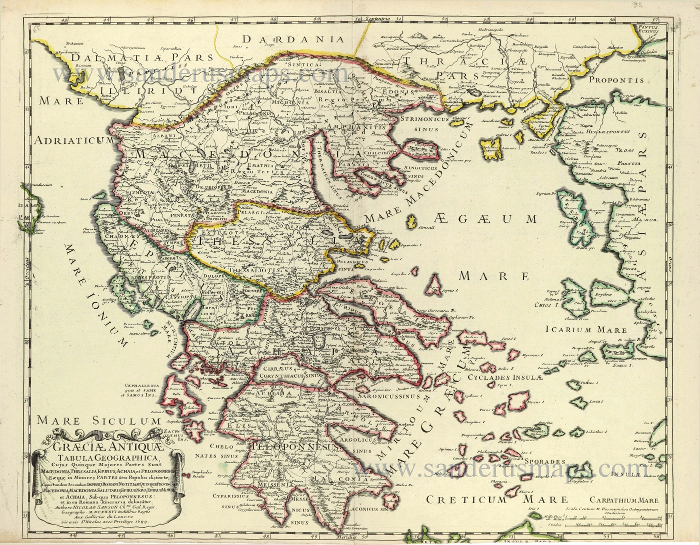
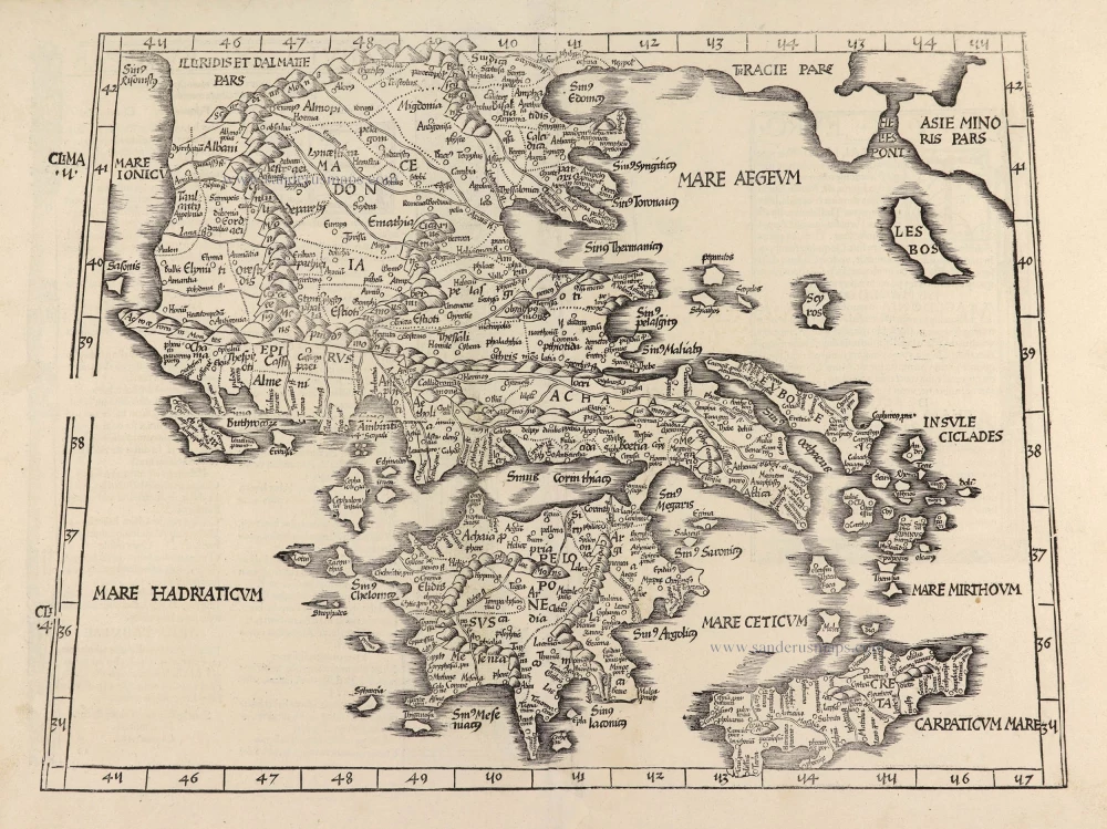
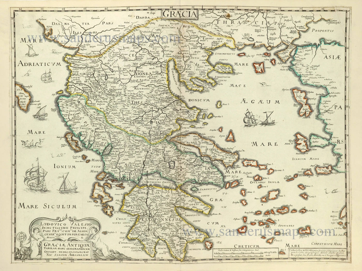
Graeciae Antique Tabula Geographica; 1699-1710
Greece by Nicolas & Guillaume Sanson.
[Item number: 28575]
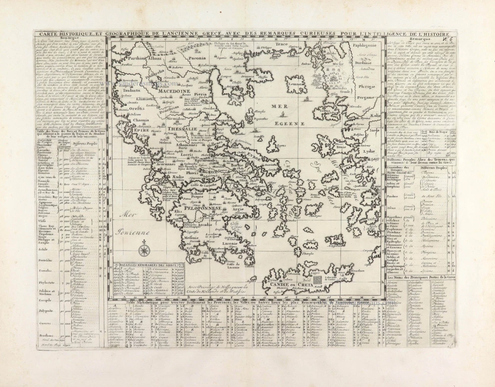
Carte Historique et Géographique de l'ancienne Grèce, avec les remarques Cursieuses pour l'intelligence de l'Histoire. 1713
Greece by Zacharias Châtelain.
[Item number: 29553]
Graecia - Graeciae Antiquae Tabulam. 1652
Ancient Greece by Nicolas Sanson.
[Item number: 29693]

Arcipelago - [Above map :] Descrittione dell'Arcipelago. 1590
Greece by Thomaso Porcacchi.
[Item number: 29769]
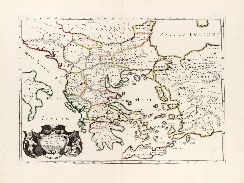
Antiquorum Illyrici Orientalis Episcopatuum Geographica Descriptio. 1679
Ancient Greece by Melchior Tavernier.
[Item number: 30036]
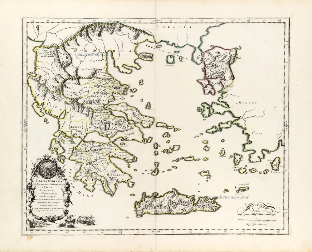
Graecia foederata sub Agamemnone, ob Helenae raptum in Troiam Coniurans ex Homero collecta. 1665
Ancient Greece by Guillaume Sanson.
[Item number: 30039]
Graeciae Universae Secundum Hodiernum Situm Neoterica Descriptio. 1601
Greece by Abraham Ortelius
[Item number: 30623]

Graecia. 1640
Greece, by Joan Blaeu.
[Item number: 31626]

Graecia. 1618
Graecia by Petrus Bertius, published by Jodocus Hondius II.
[Item number: 31852]