
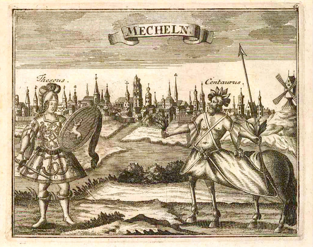
Mechelen by Petrus Van den Keere (Kaerius). 1617


Pieter Van den Keere (Petrus Kaerius) (1571-c.1650)
Pieter van den Keere was born in Ghent in 1571 as the son of the type-founder, Hendrik van den Keere. In 1584, he moved with his family to London for religious reasons. There, Van den Keere received training as an engraver from Jodocus Hondius, his brother-in-law. Not only the companionship with Jodocus Hondius but also the acquaintanceship with Pieter van den Berghe (Petrus Montanus), author of the text of the Germania Inferior, originates from the years of refuge in London.
Upon their settlement in Amsterdam in 1593, both Keere and Hondius embarked on a monumental project. Their collaboration resulted in the creation of a large wall map of Europe, a masterpiece that still stands as a testament to their skill and vision, dated 1595: Nova totius Europae descriptio.
In 1610, he set up a workshop in the Kalverstraat that he called ‘In den onseeckeren tijd’ (In the uncertain time). During this period, he made numerous copperplates, including maps for his Atlas of the Netherlands and the Atlas Minor published by Jodocus Hondius.
The Germania Inferior (1617) is the first original atlas of the Netherlands published in folio size. The text for the atlas, both in Dutch and in French, was written by Petrus Montanus. After 1623, Claes Jansz. Visscher bought the plates and substituted his name for Kaerius’s. In 1634, Visscher included many of these maps in his Germana Inferior.
Kaerius's fame is not only based on his atlas of the Netherlands. He is even better known as an engraver of many loose-leaf maps and as a collaborator of book publishers. His maps are found, i.e., in the Caert thresoor (Barent Langenes, 1598), Licht der Zeevaert (Blaeu, 1608), Atlas Minor (Hondius, 1628), and Caertboeck vande Midellandsche Zee (Barents, 1595).
Mechlinia.
Item Number: 30655 Authenticity Guarantee
Category: Antique maps > Europe > Belgium
Mechelen by Petrus Van den Keere (Kaerius).
Title: Mechlinia.
P. Kaerius Excu. 1617.
Inset view: Mehlinia [sic]
Costume figures: 'Mechlinienses'.
Oriented to the west.
Date of the first edition: 1617.
Date of this map: 1617.
Date on map: 1617.
Copper engraving, printed on paper.
Image size: 375 x 490mm (14.76 x 19.29 inches).
Sheet size: 410 x 525mm (16.14 x 20.67 inches).
Verso: Latin text.
Condition: Original coloured, lower centrefold reinforced.
Condition Rating: A.
From: Petri Kaerii Germania Inferior id est, XVII provinciarum ejus novae et exactae Tabulae Geographicae, cum Luculentis Singularum descriptionibus additis. À Petro Montano. Amsterdam, 1617. (Koeman, Kee1; Van der Krogt 3, 64:01)
Pieter Van den Keere (Petrus Kaerius) (1571-c.1650)
Pieter van den Keere was born in Ghent in 1571 as the son of the type-founder, Hendrik van den Keere. In 1584, he moved with his family to London for religious reasons. There, Van den Keere received training as an engraver from Jodocus Hondius, his brother-in-law. Not only the companionship with Jodocus Hondius but also the acquaintanceship with Pieter van den Berghe (Petrus Montanus), author of the text of the Germania Inferior, originates from the years of refuge in London.
Upon their settlement in Amsterdam in 1593, both Keere and Hondius embarked on a monumental project. Their collaboration resulted in the creation of a large wall map of Europe, a masterpiece that still stands as a testament to their skill and vision, dated 1595: Nova totius Europae descriptio.
In 1610, he set up a workshop in the Kalverstraat that he called ‘In den onseeckeren tijd’ (In the uncertain time). During this period, he made numerous copperplates, including maps for his Atlas of the Netherlands and the Atlas Minor published by Jodocus Hondius.
The Germania Inferior (1617) is the first original atlas of the Netherlands published in folio size. The text for the atlas, both in Dutch and in French, was written by Petrus Montanus. After 1623, Claes Jansz. Visscher bought the plates and substituted his name for Kaerius’s. In 1634, Visscher included many of these maps in his Germana Inferior.
Kaerius's fame is not only based on his atlas of the Netherlands. He is even better known as an engraver of many loose-leaf maps and as a collaborator of book publishers. His maps are found, i.e., in the Caert thresoor (Barent Langenes, 1598), Licht der Zeevaert (Blaeu, 1608), Atlas Minor (Hondius, 1628), and Caertboeck vande Midellandsche Zee (Barents, 1595).
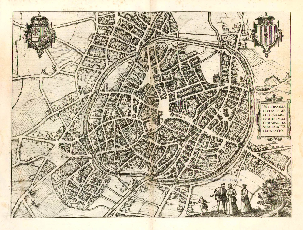
Related items

Machelen - Nitidissimae Civitatis Mechlineensis, in meditulio Brabantiae Sitae, exaxtissima delineatio. 1575
Mechelen, by Georg Braun and Frans Hogenberg.
[Item number: 2484]

Carmelus Mechliniensis. 1727
Mechelen - Carmelieten by Antonius Sanderus.
[Item number: 2795]

Machlinia. 1652
Mechelen, by Joan Blaeu.
[Item number: 3780]

Tour de St. Rombaud à Malines. c. 1850
Mechelen by Monthelier
[Item number: 5688]

Mechlinia Dominium et Aerschot Ducatus 1680-1710
Antique map of Mechelen - Aarschot by Visscher N.
[Item number: 5938]
Mecheln 1726
Mechelen by D. Fassmann
[Item number: 5948]

Mechlin or Malines the Capital of one of the ten Provinces of the Netherlands in Brabant an archbishoprick, situated upon ye Dyle. 1744-47
Mechelen by Paul Rapin de Thoyras.
[Item number: 7012]

Brabantiae Descriptio 1601
Brabant, with an inset map of the district of Mechelen, by Abraham Ortelius.
[Item number: 12909]
Mechelen - Nitidissimae Civitatis Mechlineensis in meditullio Brabantiae sitae, exactis: delineatio. 1582
Mechelen, by Georg Braun & Frans Hogenberg.
[Item number: 14483]

Mechlinia. 1617
Mechelen, by Petrus Kaerius (Pieter Van den Keere)
[Item number: 15408]
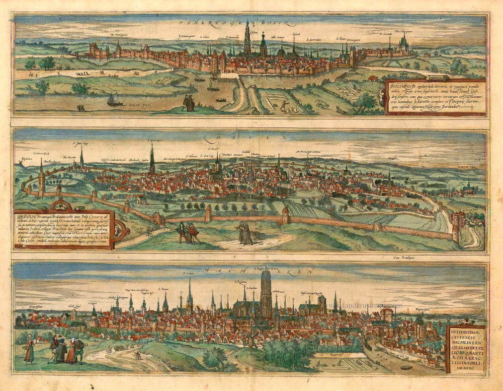
Tshertogenbosch - Buscumducis oppidum ludo Literario, ... [on sheet with] Loeven - Lovanium Perantiqua Brabantiae urbs ... [and] Machelen - Nitidissimae Civitatis Mechlin ... 1582
's Hertogenbosch, Leuven (Louvain) and Mechelen, by Georg Braun and Frans Hogenberg.
[Item number: 16669]

Machelen - Nitidissimae Civitatis Mechlineensis, ... 1572-1624
Mechelen, by Georg Braun and Frans Hogenberg.
[Item number: 17854]

Mechelen - Nitidissimae Civitatis Mechlineensis in meditullio Brabantiae sitae, exactis: delineatio 1581-88
Mechelen, by Braun & Hogenberg.
[Item number: 18002]

MECHELEN 1659
MECHELEN by Merian C.
[Item number: 18394]

Mechlinia Dominium, et Aerschot Ducatus. 1635
Mechelen - Aarschot, by Blaeu W. & J.
[Item number: 20308]

Tshertogenbosch - Buscumducis oppidum ludo Literario, ... [on sheet with] Loeven - Lovanium Perantiqua Brabantiae urbs ... [and] Machelen - Nitidissimae Civitatis Mechlin ... 1599
's Hertogenbosch, Leuven (Louvain), and Mechelen, by Georg Braun and Frans Hogenberg.
[Item number: 23224]

Marchionatus Sacri Imperiit Dominii Mechelini Tabula 1721-41
Mechelen - Antwerpen, by Covens & Mortier.
[Item number: 23690]

Mechelen. 1656
Mechelen by Visscher N. - Schut P.H.
[Item number: 25372]

Malines. - Le vray plant et pourtraict de la ville de Malines. 1575
Mechelen by François de Belleforest
[Item number: 27386]
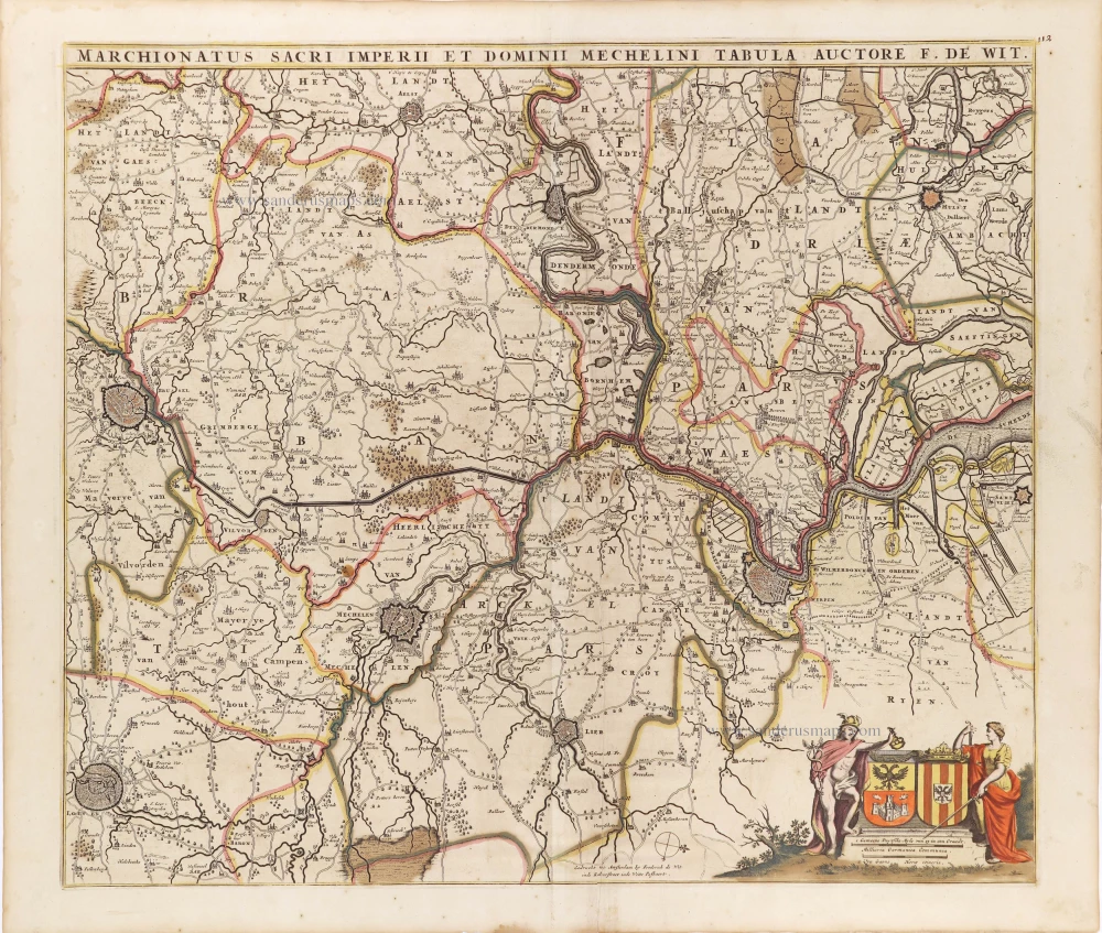
Marchionatus Sacri Imperiit Dominii Mechelini Tabula. c. 1705
The marquisate of Antwerp and the manor of Mechelen, by Frederick de Wit.
[Item number: 28997]

Machlinia. 1649
Mechelen, by Joan Blaeu.
[Item number: 31178]

Carte de la Seigneyrie de Malines. 1633
Mechelen by Christophe Tassin.
[Item number: 31931]

Mechelen - Nitidißime civitatis Mechlineensis in meditullio Brabantie ex ac lis: delineatio. 1612
Mechelen by Ludovico Guicciardini.
[Item number: 32862]