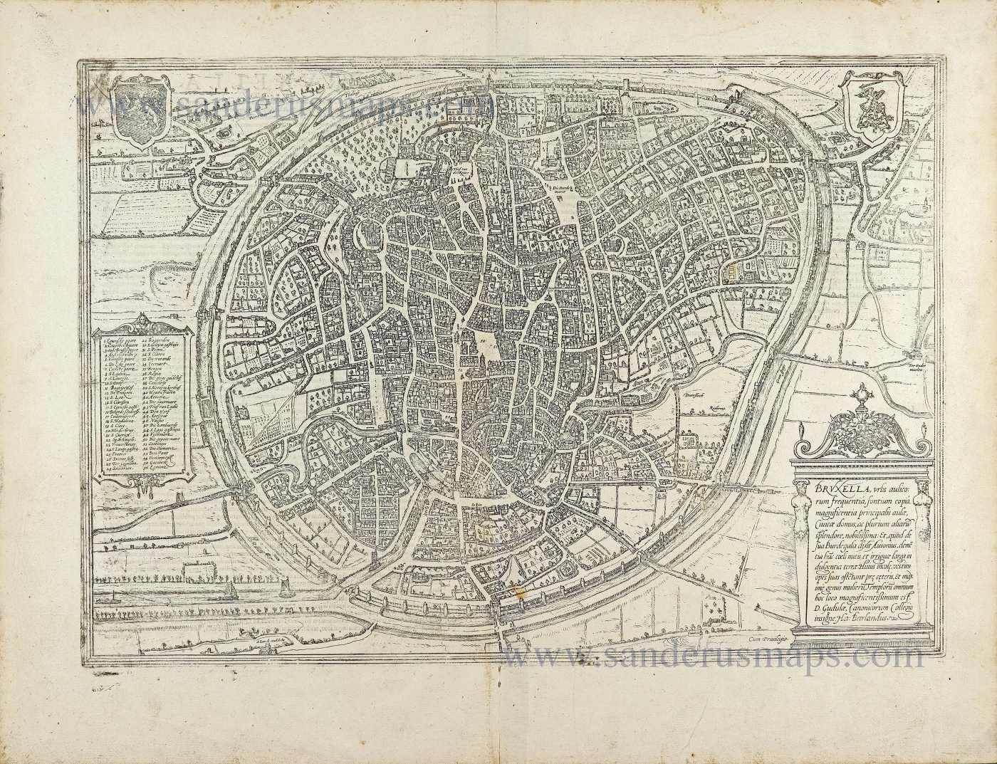
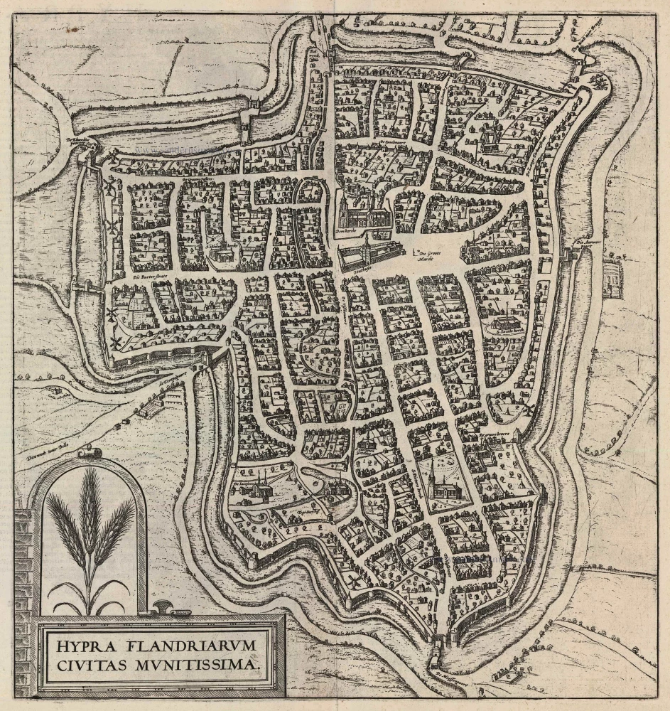
Old, antique map - bird's-eye view of Antwerp by Braun and Hogenberg 1582
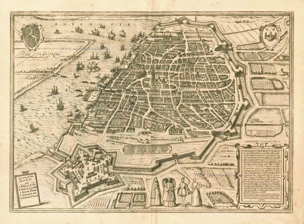
Anverpia, nobile in Brabantia oppidum, ...
Item Number: 4147 Authenticity Guarantee
Category: Antique maps > Europe > Belgium
Old, antique map - bird's-eye view of Antwerp by Braun and Hogenberg.
TRANSLATION OF CARTOUCHE TEXT: Antwerp is a well-built and noted trade city in Brabant, which attracts many Germans, French, Italians, Spaniards, English and other nations. In this city there are beautiful, huge churches and houses, including in particular the church of Our Lady with a tall stone tower and the splendid, beautiful town hall. The venerable Hansa, the English and the Portuguese also own public buildings in which the merchants have their residences. In the church of St Michael is a magnificent monument and tomb for Isabella's husband, Charles, Duke of Burgundy. On 5 November 1567 the massive city wall was built with imposing blockhouses and bulwarks and surrounded by a large moat. Inside, comfortable houses inhabited by the occupying troops surround a broad square. In the middle stands a statue of the famous Duke of Alba made of gilt metal, cast at great expense on the orders of the King of Spain. Erected in memory of Ferdinand Alvarez of Toledo, Duke of Alba, Philip II of Spain's commander-in-chief in the Spanish Netherlands, as the King's most faithful servant, because after quelling the uprising and crushing the insurgents he upheld the faith, law and peace of the province.
COMMENTARY BY BRAUN: "The city of Antwerp possesses all the vital necessities of life in abundance, as is also observed with wonder by the foreign merchants; here we find Spanish, French and Rhenish wines, a huge fish market with a great number of fresh sea and river fish, and also salted fish. Amongst the public buildings, the splendid town hall must be mentioned first, built in four years at considerable cost and with great skill, and made of a very striking marble brought here from far-off lands. ... In the heart of the city lies a square marketplace with a colonnade in which merchants can conduct their business. There is also a magnificent church here, dedicated to Our Lady, with an extremely tall tower of white marble."
The two plan views (the second appeared in the 6th volume) show the Belgian port on the River Schelde from a bird's-eye perspective. The eye is struck by the star-shaped citadel built by the Duke of Alba on Antwerp's southern side, the defensive moat and the harbour serving the prosperous centre of commerce. The city centre is clearly recognizable with the Onze-Lieve-Vrouwe cathedral (1), its town hall (24) behind it overlooking the Grote Markt and the fish market (17). The north tower of the Gothic cathedral is the city landmark. First mentioned in records in AD 726, Antwerp was granted its charter in 1291 and in 1315 became a Hansa town. The merchants' guilds relocated here and between 1347 and 1496 Antwerp's population grew from 5,000 to 50,000; by 1565 this figure is estimated to have reached 95,000. In the 16th century Antwerp was also an important centre of the arts and home to the leading printer and publisher north of the Alps, Christoffel Plantin. The prosperous metropolis attracted numerous artists (including Jan Brueghel the Elder, Peter Paul Rubens and Anthony van Dyck). But Antwerp, too, became embroiled in the Wars of Religion, and in 1585, the city was taken by the Alexander Farnese, Duke of Parma. Countless Protestant merchants and craftsmen were subsequently driven out of the city, whose importance declined sharply as a result. (Taschen)
From: Civitates Orbis Terrarum, ... Part 1. Köln, 1572-1624. (Van der Krogt 4, 41:1.1)
Date of the first edition: 1572
Date of this map: 1582
Copper engraving
Size: 34 x 47.5cm (13.3 x 18.5 inches)
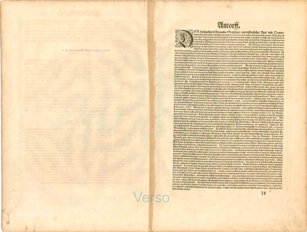
Verso text: German
Condition: Uncoloured, excellent.
Condition Rating: A
References: Van der Krogt 4, 183; Taschen, Braun and Hogenberg, p.73.
From: Beschreibung und Contrafactur der vornembster Stät der Welt. [Part 1] Cologne, Gottfried von Kempen, 1582. (Van der Krogt 4, 41:2.1)

