
Friesland by P. Van der Aa. 1713

Pieter van der Aa (Leiden, 1659-1733)
Pieter van der Aa was already in 1682 owner of a bookshop and auction house. During his life, he has published an enormous amount of printed material.
After 1700, van der Aa increasingly specialised in books on geography and travel.
He published composite atlases, a series of geographical descriptions of European countries, and some very spectacular works. Between 1706 and 1708 he published the Naauweurige versameling der gedenkwaardigste zee- en land-reysen, in 28 volumes.
Many of Van der Aa’s publications are richly illustrated with maps and plates. He took over many copperplates and prints from other publishers such as Carel Allard and Frederik De Wit. The composite atlases that appeared from his workshop contain a curious mixture of his own material, copies of maps from other publishers, and reprints made from old copper plates, now with his own imprint.
The Galérie agréable du monde, was completed in 1729, and comprised 66 parts, bound in 27 volumes. Van der Aa presented it as a good investment; after publication, the antiquarian value of the work would double, the more so since it was printed in a limited edition of only one hundred copies.
La Frise.
Item Number: 26064 Authenticity Guarantee
Category: Antique maps > Europe > The Netherlands
Old, antique map of Friesland by P. Van der Aa.
Title: La Frise.
Date of the first edition: 1713.
Date of this map: 1713.
Copper engraving, printed on paper.
Size (not including margins): 226 x 295mm (8.9 x 11.61 inches).
Verso: Blank.
Condition: Original coloured, trimmed to neatline and mounted on heavy paper at an early time.
Condition Rating: A+.
From: Nouvel Atlas, très exact et fort commode pour toutes sortes de personnes, Contenant Les Principales cartes géographiques. Leiden, P. Van der Aa, n.d. (1713) (Koeman, Aa7).
Van der Aa maps are rarely found in original colouring.
Pieter van der Aa (Leiden, 1659-1733)
Pieter van der Aa was already in 1682 owner of a bookshop and auction house. During his life, he has published an enormous amount of printed material.
After 1700, van der Aa increasingly specialised in books on geography and travel.
He published composite atlases, a series of geographical descriptions of European countries, and some very spectacular works. Between 1706 and 1708 he published the Naauweurige versameling der gedenkwaardigste zee- en land-reysen, in 28 volumes.
Many of Van der Aa’s publications are richly illustrated with maps and plates. He took over many copperplates and prints from other publishers such as Carel Allard and Frederik De Wit. The composite atlases that appeared from his workshop contain a curious mixture of his own material, copies of maps from other publishers, and reprints made from old copper plates, now with his own imprint.
The Galérie agréable du monde, was completed in 1729, and comprised 66 parts, bound in 27 volumes. Van der Aa presented it as a good investment; after publication, the antiquarian value of the work would double, the more so since it was printed in a limited edition of only one hundred copies.
Related items

Tabula Comitatus Frisiae. Auctore B: Schotano à Sterringa. c. 1680
Friesland, by Frederik De Wit.
[Item number: 2635]

Charte von Friesland 1759-1784
Friesland by Homann Heirs.
[Item number: 13868]
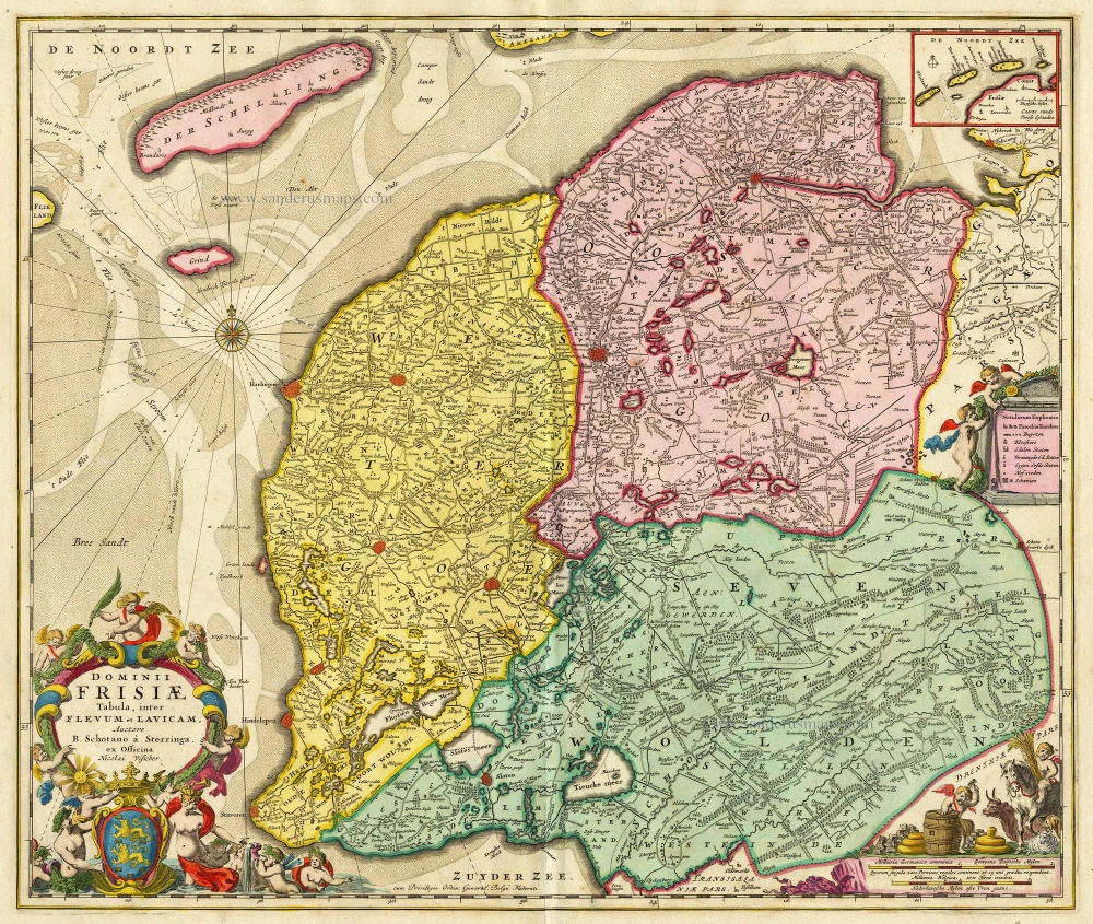
Dominii Frisiae Tabula, inter Flevum et Lavicam. c. 1678
Friesland by Nicolaas Visscher II.
[Item number: 18688]

Frisia Occidentalis. 1635
Friesland, by Willem Blaeu.
[Item number: 21015]

Frisia Occidentalis 1598
West Friesland, by Abraham Ortelius.
[Item number: 22913]

Frisiae Dominium vernacule Friesland, Ca. 1730
Friesland, by Ottens R. & I.
[Item number: 25746]

Frisia Occidentalis. 1629-30
West-Friesland, by Henricus Hondius.
[Item number: 26357]

Tabula Frisiae, Groningae, er Territorii Emdensis nec non circumjacentium Regionum, puta Transisalaniae, Benthemiae, Westphaliae et Oldenburgi. 1656-80
Friesland & Groningen by Nicolaes Visscher I.
[Item number: 28601]

Frisia Occidentalis. c. 1630-1650
West-Friesland, by Henricus Hondius.
[Item number: 31219]

La Seigneurie d'Ouest-Frise ou Frise Occidentale, divisée en ses Trois Parties, subdivisées en leurs Iuridictions. 1692
West-Friesland by N. Sanson, so-called published by Hubert Jaillot. (Pirated edition by Pierre Mortier).
[Item number: 31376]

Carte de la Frise Occidentale. 1633
Friesland by C. Tassin.
[Item number: 31755]