
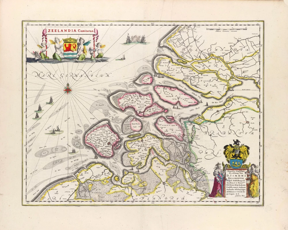
Zeeland by Willem Blaeu. 1635

The Blaeus: Willem Janszoon, Cornelis & Joan
Willem Jansz. Blaeu and his son Joan Blaeu are the most widely known cartographic publishers of the seventeenth century.
Willem Jansz. (also written Guilielmus Janssonius) = Willem Janszoon Blaeu, was born in Uitgeest (Netherlands), near Alkmaar in 1571. He studied mathematics under Tycho Brahe and learned the theory and practice of astronomical observations and the art of instrument- and globe making.
In 1596 he came to Amsterdam where he settled down as a globe-, instrument- and map-maker. He published his first cartographic work (a globe) in 1599 and probably published his first printed map (a map of the Netherlands) in 1604. He specialized in maritime cartography and published the first edition of the pilot guide Het Licht der Zeevaert in 1608, and was appointed Hydrographer of the V.O.C. (United East India Company) in 1633. After thirty years of publishing books, wall maps, globes, charts and pilot guides, he brought out his first atlas, Atlas Appendix (1630). This was the beginning of the great tradition of atlas-making by the Blaeus.
In 1618 another mapmaker, bookseller and publisher, Johannes Janssonius established himself in Amsterdam next door to Blaeu's shop. It is no wonder that these two neighbours, who began accusing each other of copying and stealing their information, became fierce competitors who did not have a good word to say about each other. In about 1621 Willem Jansz. decided to put an end to the confusion between his name and his competitor's, and assumed his grandfather's sobriquet, 'blauwe Willem' ('blue Willem'), as the family name; thereafter he called himself Willem Jansz. Blaeu.
Willem Janszoon Blaeu died in 1638, leaving his prospering business to his sons, Cornelis and Joan. Of Cornelis we only know that his name occurs in the prefaces of books and atlases until c. 1645.
Joan Blaeu, born in Amsterdam, 1596, became partner in his father’s book trade and printing business. In 1638 he was appointed his father’s successor in the Hydrographic office of the V.O.C. His efforts culminated in the magnificent Atlas Major and the town-books of the Netherland and of Italy – works unsurpassed in history and in modern times, which gave eternal fame to the name of the Blaeus.
On February 23, 1672, a fire ruined the business. One year later, Dr. Joan Blaeu died. The fire of 1672 and the passing away of the director gave rise to a complete sale of the stock of the Blaeu House. Five public auctions dispersed the remaining books, atlases, copperplates, globes, etc., among many other map dealers and publishers in Amsterdam. The majority was acquired by a number of booksellers acting in partnership.
In the succeeding years, the remaining printing department was left in the hands of the Blaeu family until 1695 when also the inventory of the printing house was sold at a public auction. That meant the end of the Blaeus as a printing house of world renown.
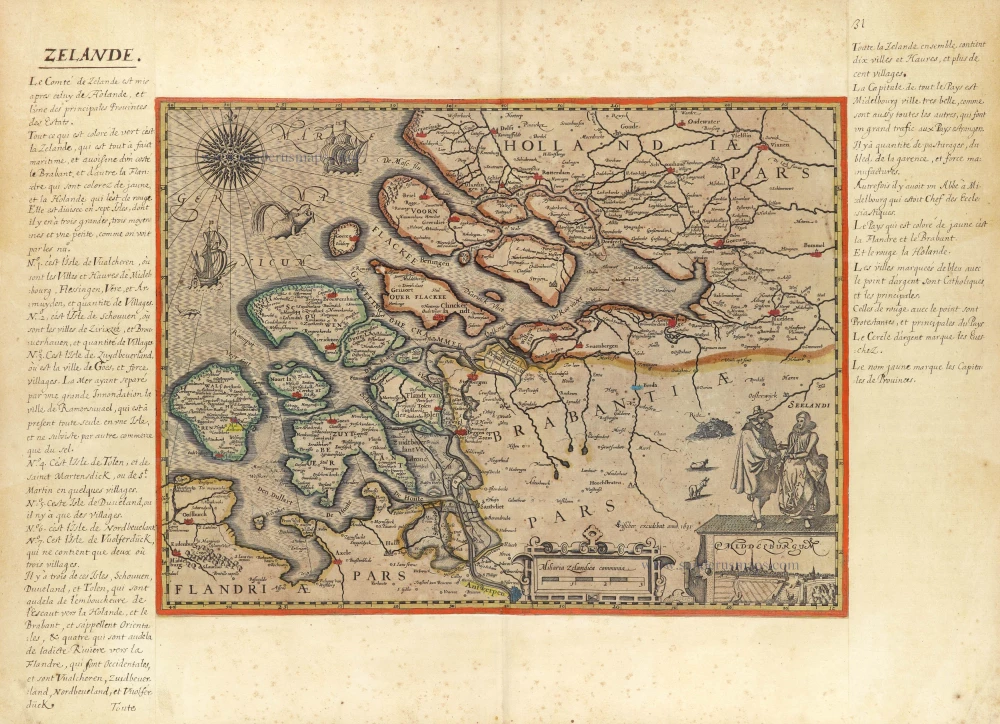
Zeelandia Comitatus
Item Number: 3626 Authenticity Guarantee
Category: Antique maps > Europe > The Netherlands
Zeeland by Willem Blaeu.
Title: Zeelandia Comitatus
Date of the first edition: 1634.
Date of this map: 1635.
Copper engraving, printed on paper.
Image size: 378 x 498mm (15 x 19½ inches).
Sheet size: 490 x 580mm (19¼ x 22¾ inches).
Verso: Latin text.
Condition: Uncoloured, lower centrefold split reinforced.
Condition Rating: A.
From: Theatrum Orbis Terrarum, W.& J. Blaeu, 1635. (Van der Krogt 2, 101)
The Blaeus: Willem Janszoon, Cornelis & Joan
Willem Jansz. Blaeu and his son Joan Blaeu are the most widely known cartographic publishers of the seventeenth century.
Willem Jansz. (also written Guilielmus Janssonius) = Willem Janszoon Blaeu, was born in Uitgeest (Netherlands), near Alkmaar in 1571. He studied mathematics under Tycho Brahe and learned the theory and practice of astronomical observations and the art of instrument- and globe making.
In 1596 he came to Amsterdam where he settled down as a globe-, instrument- and map-maker. He published his first cartographic work (a globe) in 1599 and probably published his first printed map (a map of the Netherlands) in 1604. He specialized in maritime cartography and published the first edition of the pilot guide Het Licht der Zeevaert in 1608, and was appointed Hydrographer of the V.O.C. (United East India Company) in 1633. After thirty years of publishing books, wall maps, globes, charts and pilot guides, he brought out his first atlas, Atlas Appendix (1630). This was the beginning of the great tradition of atlas-making by the Blaeus.
In 1618 another mapmaker, bookseller and publisher, Johannes Janssonius established himself in Amsterdam next door to Blaeu's shop. It is no wonder that these two neighbours, who began accusing each other of copying and stealing their information, became fierce competitors who did not have a good word to say about each other. In about 1621 Willem Jansz. decided to put an end to the confusion between his name and his competitor's, and assumed his grandfather's sobriquet, 'blauwe Willem' ('blue Willem'), as the family name; thereafter he called himself Willem Jansz. Blaeu.
Willem Janszoon Blaeu died in 1638, leaving his prospering business to his sons, Cornelis and Joan. Of Cornelis we only know that his name occurs in the prefaces of books and atlases until c. 1645.
Joan Blaeu, born in Amsterdam, 1596, became partner in his father’s book trade and printing business. In 1638 he was appointed his father’s successor in the Hydrographic office of the V.O.C. His efforts culminated in the magnificent Atlas Major and the town-books of the Netherland and of Italy – works unsurpassed in history and in modern times, which gave eternal fame to the name of the Blaeus.
On February 23, 1672, a fire ruined the business. One year later, Dr. Joan Blaeu died. The fire of 1672 and the passing away of the director gave rise to a complete sale of the stock of the Blaeu House. Five public auctions dispersed the remaining books, atlases, copperplates, globes, etc., among many other map dealers and publishers in Amsterdam. The majority was acquired by a number of booksellers acting in partnership.
In the succeeding years, the remaining printing department was left in the hands of the Blaeu family until 1695 when also the inventory of the printing house was sold at a public auction. That meant the end of the Blaeus as a printing house of world renown.
Related items

Nieuwe Kaart van het Graafschap Zeeland. 1730-45
Zeeland, by Ottens R. & I.
[Item number: 25736]
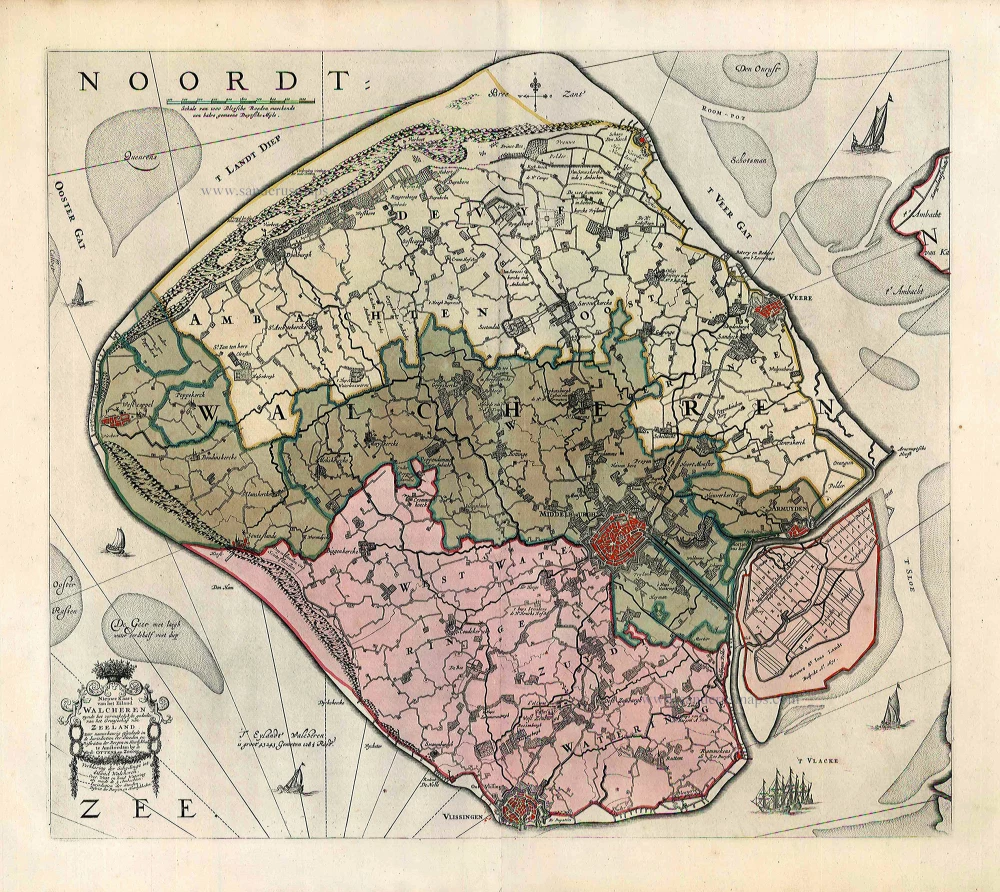
Nieuwe Kaart van het Eiland Walcheren zynde het vermakelykste gedeelte van het Graafschap van Zeeland ... 1765-70
Walcheren, by Widow J. Ottens & Son.
[Item number: 25773]

La Zelande. 1713
Zeeland, by Pieter Van der Aa.
[Item number: 26058]
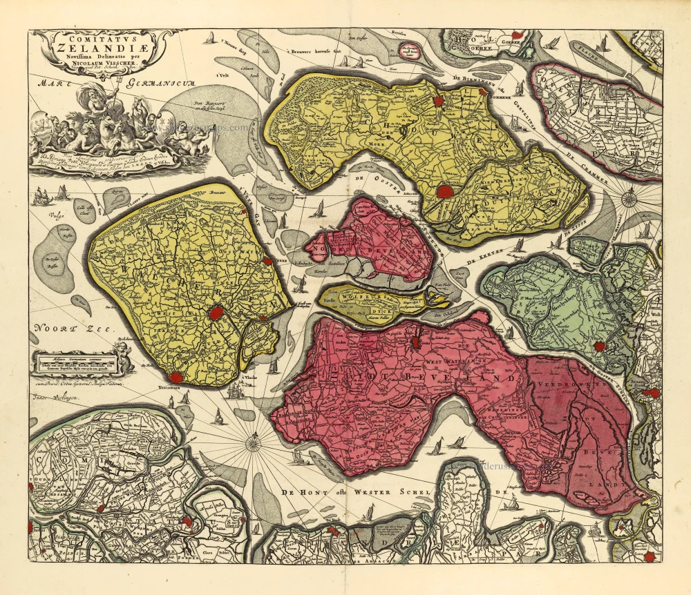
Comitatus Zelandiae. c. 1715
Zeeland by Nicolaas Visscher I, published by Petrus Schenk II.
[Item number: 28275]

Comitatus Zelandiae Tabula. ca. 1705
Zeeland by Frederick de Wit.
[Item number: 29008]

Isole Selandia - [Above map :] Descrittione dell'Isole Selandie. 1590
Zeeland, by Thomaso Porcacchi.
[Item number: 29759]
Zeelandia Comitatus. 1643
Zeeland, by W. Blaeu.
[Item number: 29937]
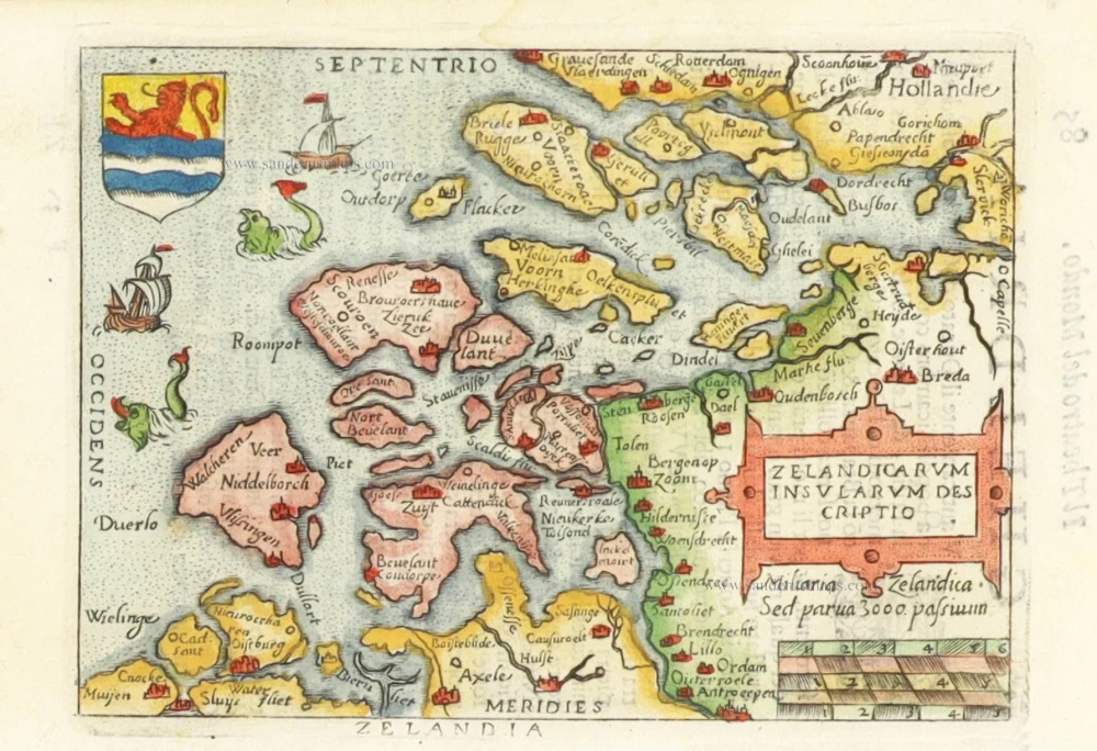
Zelandicarum Insularum Descriptio. 1598
Zeeland by Abraham Ortelius.
[Item number: 30236]
[No title - With inset view of the town of Middelburg:] Middelburgum. [Costumed figures:] Seelandi c. 1630-1650
Zeeland by Petrus Kaerius, published by C.J. Visscher.
[Item number: 30935]

Early edition
Zelandicarum Insularum exactissima et nova descriptio, 1573
Zeeland by Abraham Ortelius.
[Item number: 30967]

Zelandia - Zelandicarum insularum exactissima et nova descriptio, 1592
Zeeland by Matthias Quad, published by J. Bussemacher.
[Item number: 31258]
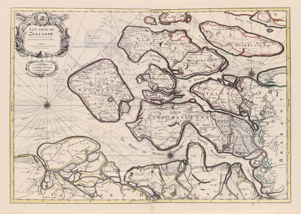
Le Comté de Zeelande. 1692
Zeeland by N. Sanson, so-called published by Hubert Jaillot. (Pirated edition by Pierre Mortier).
[Item number: 31343]

Zeelandia. 1618
Zeeland by Petrus Bertius, published by Jodocus Hondius II.
[Item number: 31590]
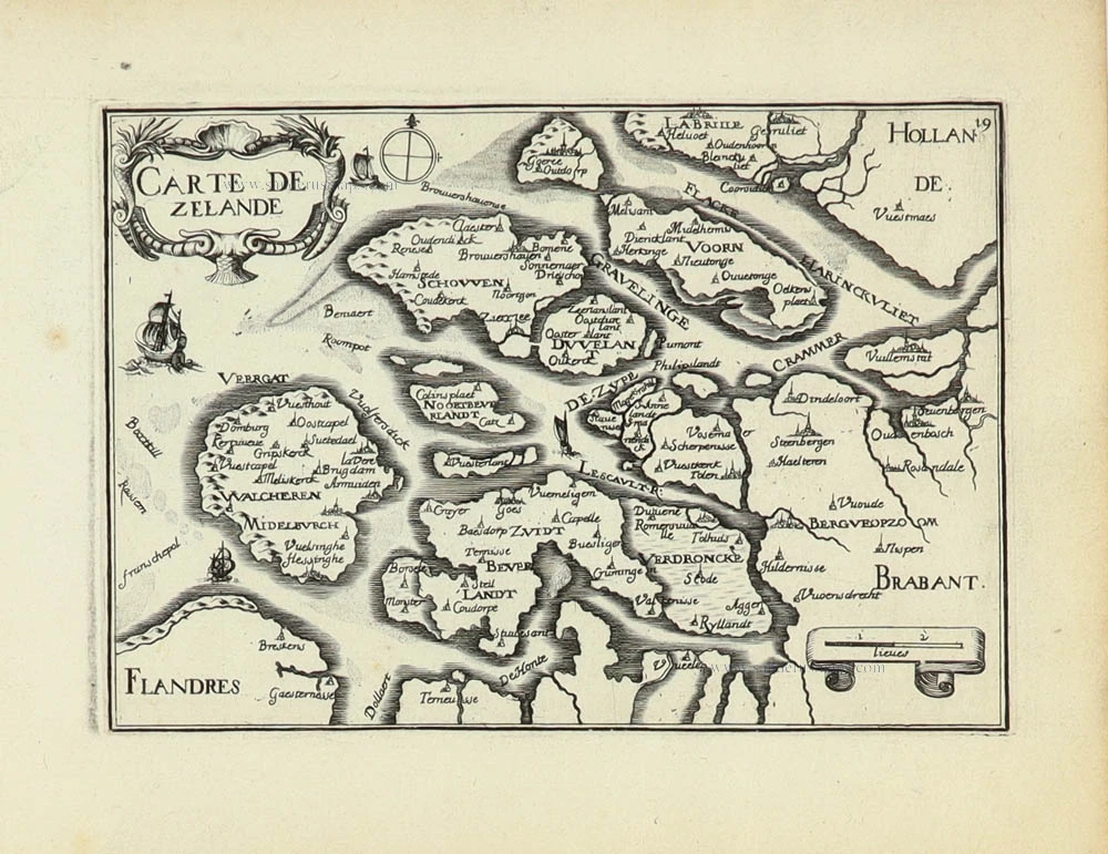
Carte de Zeland. 1633
Zeeland by Christophe Tassin.
[Item number: 31929]