
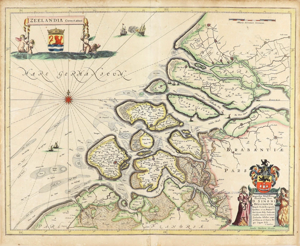
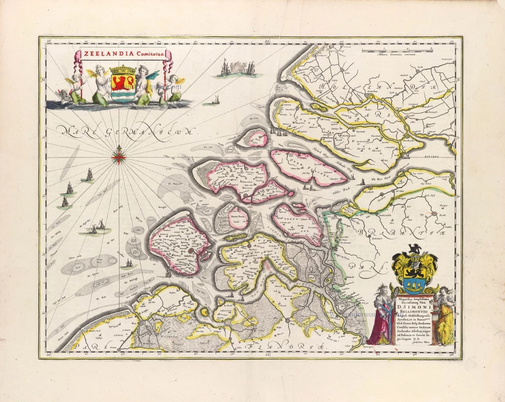
Zeeland by Cornelis Danckerts. c. 1636
Extremely rare map of Zeeland by Cornelis Danckerts. Blonk-van der Wijst quotes only three copies of this map.
According to Pastoureau, Cornelis Danckerts has been working at Melchior Tavernier in Paris; she mentions several maps by Danckerts that appear in French composite atlases.
The Danckerts Family.
The Danckerts family of Amsterdam was one of the best-known print and map sellers in 17th century Amsterdam. Their business activity covered a vast period, from ca. 1633. From 1669 until 1701, father Justus and his sons had their shop in the ‘Calverstraet in de Danckbaerheyt’.
Cornelis Danckerts (1561-1631) was a printseller born in Amsterdam and active in Antwerp.
Cornelis Danckerts, the elder (1603-1656) was an engraver and publisher in Amsterdam and Nieuwendijk. Son of Cornelis (above), whom he succeeded in 1631.
The house of Danckerts gained its greatest fame from Justus Danckerts (1635-1701 - son of Cornelis the elder) and his two sons, Theodorus and Cornelis. Dancker Danckerts (1634-1666), the elder brother of Justus, was known for his etchings of paintings, maps, and publications.
The grandfather, father, and sons were highly skilled and excellent artistic drafters and engravers. They are famous for the edition of their Atlas, which appeared from ca. 1686, and for several monumental and beautiful wall maps and views. However, compared with that published by the Blaeu's or Janssonius's, their cartographic work has attracted little attention and has never received proper recognition.
On 14 August 1684, Justus and his sons obtained the privilege from the States of Holland for their publications. In 1713, twelve years after Justus Danckerts, the heirs decided to sell part of the stock of maps and atlases and many copperplates. In 1727, after the death of the last surviving brother Theodorus, a final sale took place.
Zeelandia Comitatus.
Item Number: 28771 Authenticity Guarantee
Category: Antique maps > Europe > The Netherlands
Old, antique map of Zeeland by Cornelis Danckerts..
Title: Zeelandia Comitatus.
Cornelis Danckerts Excudit.
Dedicated to Simon Bellimontius.
Date of the first edition: c. 1636.
Date of this map: c. 1636.
Copper engraving, printed on paper.
Map size: 400 x 505mm (15.75 x 19.88 inches).
Sheet size: 435 x 520mm (17.13 x 20.47 inches).
Verso: Blank.
Condition: Original coloured, excellent.
Condition Rating: A+.
Separate publication.
This map is an accurate copy of Willem Blaeu's map Zeelandia Comitatus.
Extremely rare map of Zeeland by Cornelis Danckerts. Blonk-van der Wijst quotes only three copies of this map.
According to Pastoureau, Cornelis Danckerts has been working at Melchior Tavernier in Paris; she mentions several maps by Danckerts that appear in French composite atlases.
The Danckerts Family.
The Danckerts family of Amsterdam was one of the best-known print and map sellers in 17th century Amsterdam. Their business activity covered a vast period, from ca. 1633. From 1669 until 1701, father Justus and his sons had their shop in the ‘Calverstraet in de Danckbaerheyt’.
Cornelis Danckerts (1561-1631) was a printseller born in Amsterdam and active in Antwerp.
Cornelis Danckerts, the elder (1603-1656) was an engraver and publisher in Amsterdam and Nieuwendijk. Son of Cornelis (above), whom he succeeded in 1631.
The house of Danckerts gained its greatest fame from Justus Danckerts (1635-1701 - son of Cornelis the elder) and his two sons, Theodorus and Cornelis. Dancker Danckerts (1634-1666), the elder brother of Justus, was known for his etchings of paintings, maps, and publications.
The grandfather, father, and sons were highly skilled and excellent artistic drafters and engravers. They are famous for the edition of their Atlas, which appeared from ca. 1686, and for several monumental and beautiful wall maps and views. However, compared with that published by the Blaeu's or Janssonius's, their cartographic work has attracted little attention and has never received proper recognition.
On 14 August 1684, Justus and his sons obtained the privilege from the States of Holland for their publications. In 1713, twelve years after Justus Danckerts, the heirs decided to sell part of the stock of maps and atlases and many copperplates. In 1727, after the death of the last surviving brother Theodorus, a final sale took place.
Related items
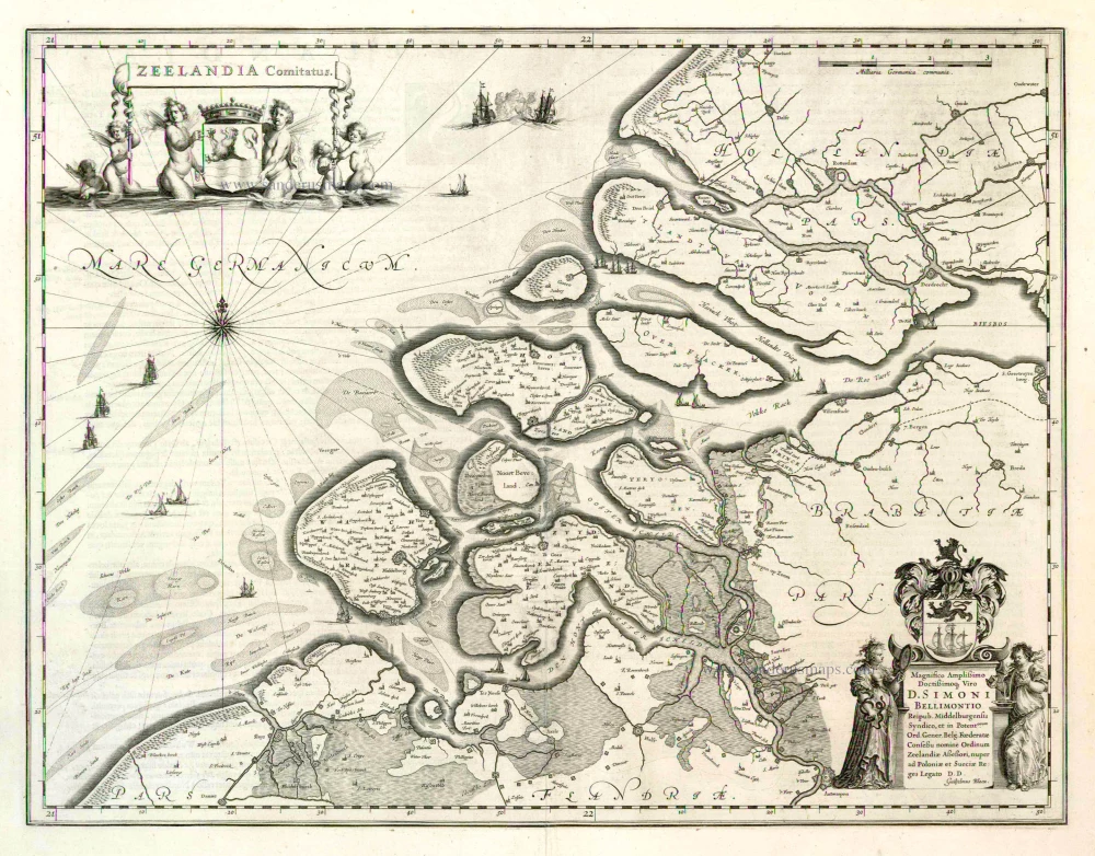
Zeelandia Comitatus 1635
Zeeland by Willem Blaeu.
[Item number: 3626]
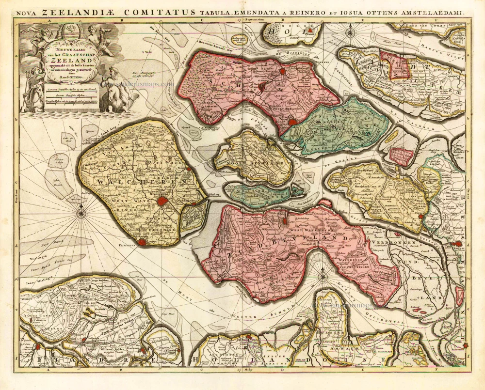
Nieuwe Kaart van het Graafschap Zeeland. 1730-45
Zeeland, by Ottens R. & I.
[Item number: 25736]
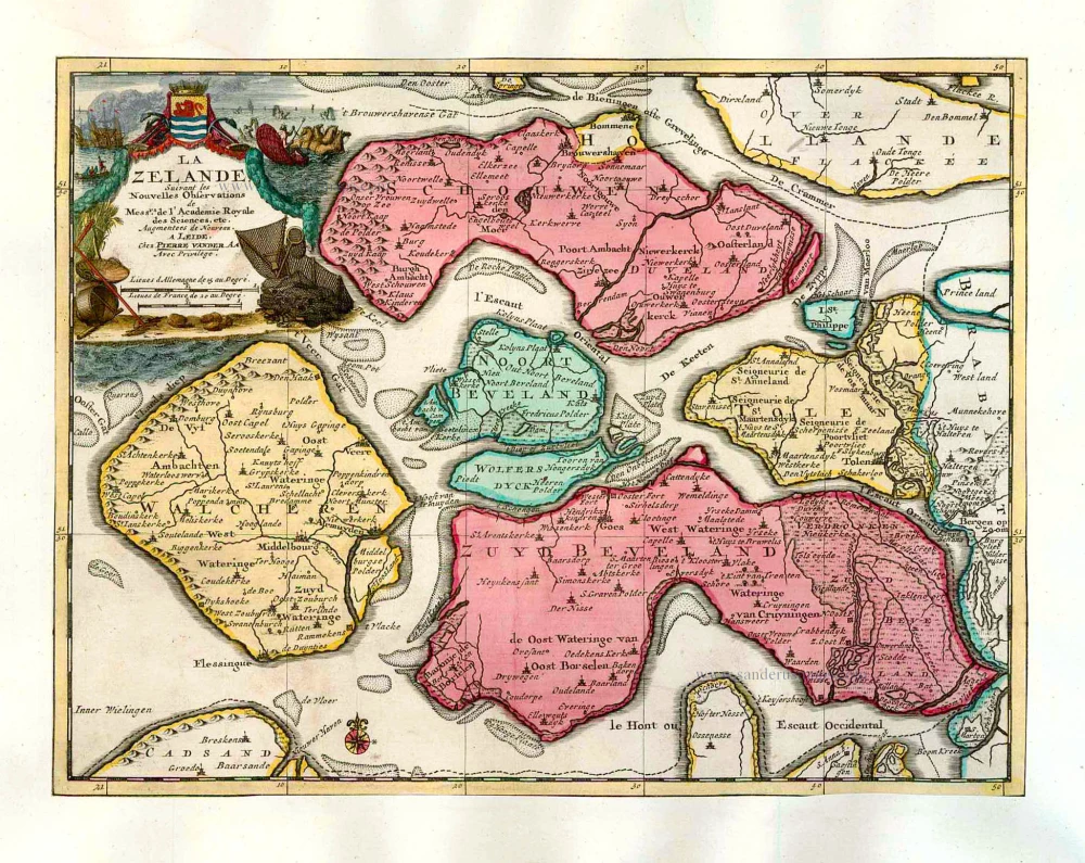
La Zelande. 1713
Zeeland, by Pieter Van der Aa.
[Item number: 26058]
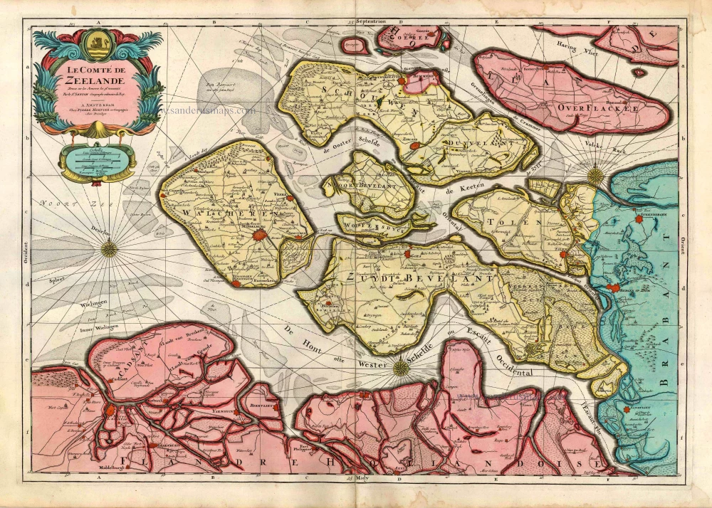
Le Comté de Zeelande. c. 1705
Zeeland, by Pieter Mortier.
[Item number: 27806]
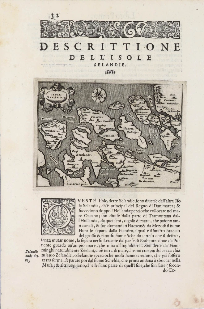
Isole Selandia - [Above map :] Descrittione dell'Isole Selandie. 1590
Zeeland, by Thomaso Porcacchi.
[Item number: 29759]
Zeelandia Comitatus. 1643
Zeeland, by W. Blaeu.
[Item number: 29937]
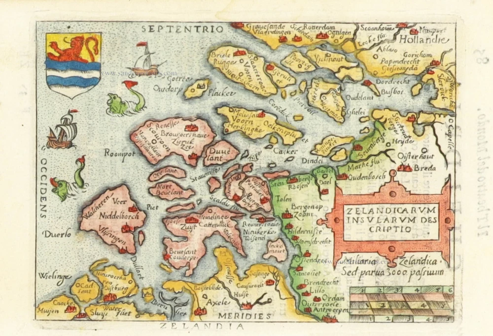
Zelandicarum Insularum Descriptio. 1598
Zeeland by Abraham Ortelius.
[Item number: 30236]