
Portugal & Brazil, by J.B. Homann. c. 1720

The Homann Family: Masters of German Cartography and Publishing
The Homann family stands as one of the most significant names in the history of German cartography and publishing. Their maps, atlases, and geographic works not only shaped contemporary understanding of the world during the 18th century but also left an enduring legacy in the fields of geography, engraving, and scholarly publishing.
The family's prominence began with Johann Baptist Homann (1664–1724), a native of Oberkammlach in Bavaria. Initially trained in law and theology, Johann Baptist later turned to engraving and cartography — a field that was flourishing amid the Age of Discovery and the growing demand for precise geographic knowledge.
In 1702, he founded his own publishing house in Nürnberg, a city then renowned for its vibrant intellectual, artistic, and scientific community. Nuremberg’s rich tradition of printmaking and map production provided fertile ground for Homann's enterprise.
Johann Baptist Homann quickly rose to prominence as one of Germany’s leading cartographers and publishers. His works combined technical accuracy, artistic merit, and rich ornamentation, often embellished with elaborate cartouches, mythological scenes, and heraldic symbols.
In 1715, Homann was appointed Imperial Geographer to the Holy Roman Emperor Charles VI. He obtained the "Imperial Privilege" (Privilegium Imperialis). This prestigious title solidified his status and bestowed upon his publishing house both credibility and influence. His most famous works include:
- Atlas Novus Terrarum Orbis (1707) — an early and ambitious atlas project.
- Grosser Atlas über die ganze Welt (1716) — one of the most crucial German world atlases of the early 18th century.
Homann’s maps covered both European and global territories, including the Americas, Asia, and Africa, reflecting contemporary geographical knowledge and political boundaries.
The Homann Heirs (Homannische Erben)
After Johann Baptist Homann died in 1724, his son Johann Christoph Homann (1703–1730) briefly took over the business. However, Johann Christoph died at a young age, and the enterprise was then continued under the name Homännische Erben ("Homann Heirs"), a partnership of family members and associates.
Despite the loss of its founder, the firm remained highly productive and influential for several decades. The Homann Heirs continued to publish atlases, wall maps, city views, and geographical treatises well into the late 18th century. Their catalogue included works by noted cartographers such as Johann Matthias Hase, Leonhard Euler, and Tobias Conrad Lotter.
The Homann publishing house played a crucial role in disseminating geographic and scientific knowledge during the Enlightenment. Their maps combined artistry with empirical detail and were sought after by scholars, navigators, governments, and collectors.
Several of their works are now prized as valuable historical artefacts, housed in museums, libraries, and private collections around the world. The Homann Heirs' firm gradually declined by the end of the 18th century, overtaken by newer publishing houses and changing technologies, but their contribution to the cartographic tradition remains significant.
The Homann family’s name is indelibly linked to the golden age of German cartography. Through meticulous craftsmanship and a keen sense of visual storytelling, they charted the known world of their time, leaving a remarkable record of early modern geography. Today, their maps not only inform historians of cartography but also captivate collectors and enthusiasts for their aesthetic beauty and historical value.
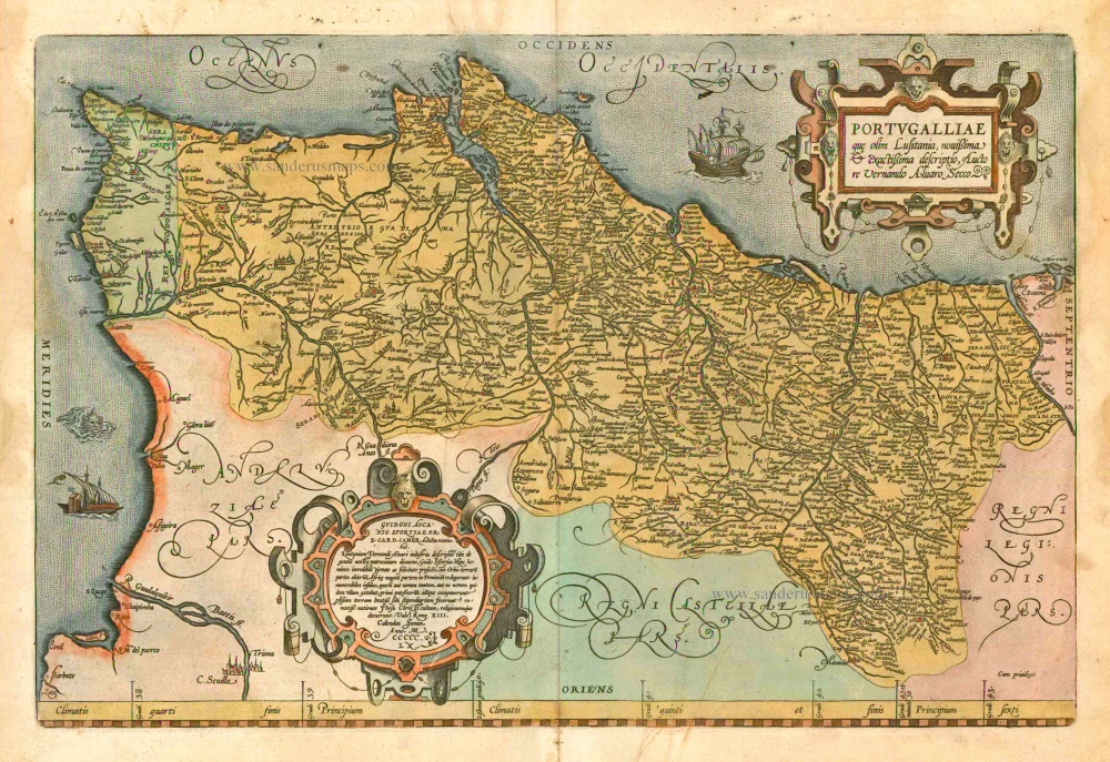
Portugalliae et Algarbiae cumfinitimis Hispaniae Regnis: Castiliae, Legionis, Andalusiae, Extrematurae, Galliciae & Granatae Novissima Tabula
Item Number: 32161 Authenticity Guarantee
Category: Antique maps > Europe > Spain and Portugal
Portugal & Brazil, by J.B. Homann.
Title: Portugalliae et Algarbiae cumfinitimis Hispaniae Regnis: Castiliae, Legionis, Andalusiae, Extrematurae, Galliciae & Granatae Novissima Tabula
qua simul littora Brasiliae Meridional Americae Portugallicae Majestatis domino subjecta nova methodoexhibentur à Iohannae Bapt. Homanno Geographo & Chalcographo Norimberg.
With a large inset map: Regnum Brasiliae in America Australi, ...
Date of the first edition: 1707.
Date of this map: c. 1720.
Copper engraving, printed on paper.
Image size: 485 x 560mm (19 x 22 inches).
Sheet size: 520 x 600mm (20½ x 23½ inches).
Verso: Blank.
Condition: Original coloured, excellent.
Condition Rating: A+.
From: Atlas Novus Terrarum Orbis Imperia, regna et status exactis tabulis geographice demonstrans. Nuremberg, J.B. Homann, [c. 1720].
The Homann Family: Masters of German Cartography and Publishing
The Homann family stands as one of the most significant names in the history of German cartography and publishing. Their maps, atlases, and geographic works not only shaped contemporary understanding of the world during the 18th century but also left an enduring legacy in the fields of geography, engraving, and scholarly publishing.
The family's prominence began with Johann Baptist Homann (1664–1724), a native of Oberkammlach in Bavaria. Initially trained in law and theology, Johann Baptist later turned to engraving and cartography — a field that was flourishing amid the Age of Discovery and the growing demand for precise geographic knowledge.
In 1702, he founded his own publishing house in Nürnberg, a city then renowned for its vibrant intellectual, artistic, and scientific community. Nuremberg’s rich tradition of printmaking and map production provided fertile ground for Homann's enterprise.
Johann Baptist Homann quickly rose to prominence as one of Germany’s leading cartographers and publishers. His works combined technical accuracy, artistic merit, and rich ornamentation, often embellished with elaborate cartouches, mythological scenes, and heraldic symbols.
In 1715, Homann was appointed Imperial Geographer to the Holy Roman Emperor Charles VI. He obtained the "Imperial Privilege" (Privilegium Imperialis). This prestigious title solidified his status and bestowed upon his publishing house both credibility and influence. His most famous works include:
- Atlas Novus Terrarum Orbis (1707) — an early and ambitious atlas project.
- Grosser Atlas über die ganze Welt (1716) — one of the most crucial German world atlases of the early 18th century.
Homann’s maps covered both European and global territories, including the Americas, Asia, and Africa, reflecting contemporary geographical knowledge and political boundaries.
The Homann Heirs (Homannische Erben)
After Johann Baptist Homann died in 1724, his son Johann Christoph Homann (1703–1730) briefly took over the business. However, Johann Christoph died at a young age, and the enterprise was then continued under the name Homännische Erben ("Homann Heirs"), a partnership of family members and associates.
Despite the loss of its founder, the firm remained highly productive and influential for several decades. The Homann Heirs continued to publish atlases, wall maps, city views, and geographical treatises well into the late 18th century. Their catalogue included works by noted cartographers such as Johann Matthias Hase, Leonhard Euler, and Tobias Conrad Lotter.
The Homann publishing house played a crucial role in disseminating geographic and scientific knowledge during the Enlightenment. Their maps combined artistry with empirical detail and were sought after by scholars, navigators, governments, and collectors.
Several of their works are now prized as valuable historical artefacts, housed in museums, libraries, and private collections around the world. The Homann Heirs' firm gradually declined by the end of the 18th century, overtaken by newer publishing houses and changing technologies, but their contribution to the cartographic tradition remains significant.
The Homann family’s name is indelibly linked to the golden age of German cartography. Through meticulous craftsmanship and a keen sense of visual storytelling, they charted the known world of their time, leaving a remarkable record of early modern geography. Today, their maps not only inform historians of cartography but also captivate collectors and enthusiasts for their aesthetic beauty and historical value.
Related items
Portugalliae que olim Lusitania, novissima & exactissima descriptio, ... 1601
Portugal by A. Ortelius.
[Item number: 5729]

Very rare!
Nova Regni Portugalliae et Algarbiae Descriptio ... c. 1690
Portugal by J. de Ram, published by F. De Wit.
[Item number: 13745]

Portugalliae que olim Lusitania, novissima & exactissima descriptio, ... 1598
Portugal, by Abraham Ortelius.
[Item number: 22917]

Le Royaume de Portugal et des Algarves ... 1710
Portugal, by Sanson - Covens & Mortier.
[Item number: 23699]
Important map in excellent condition
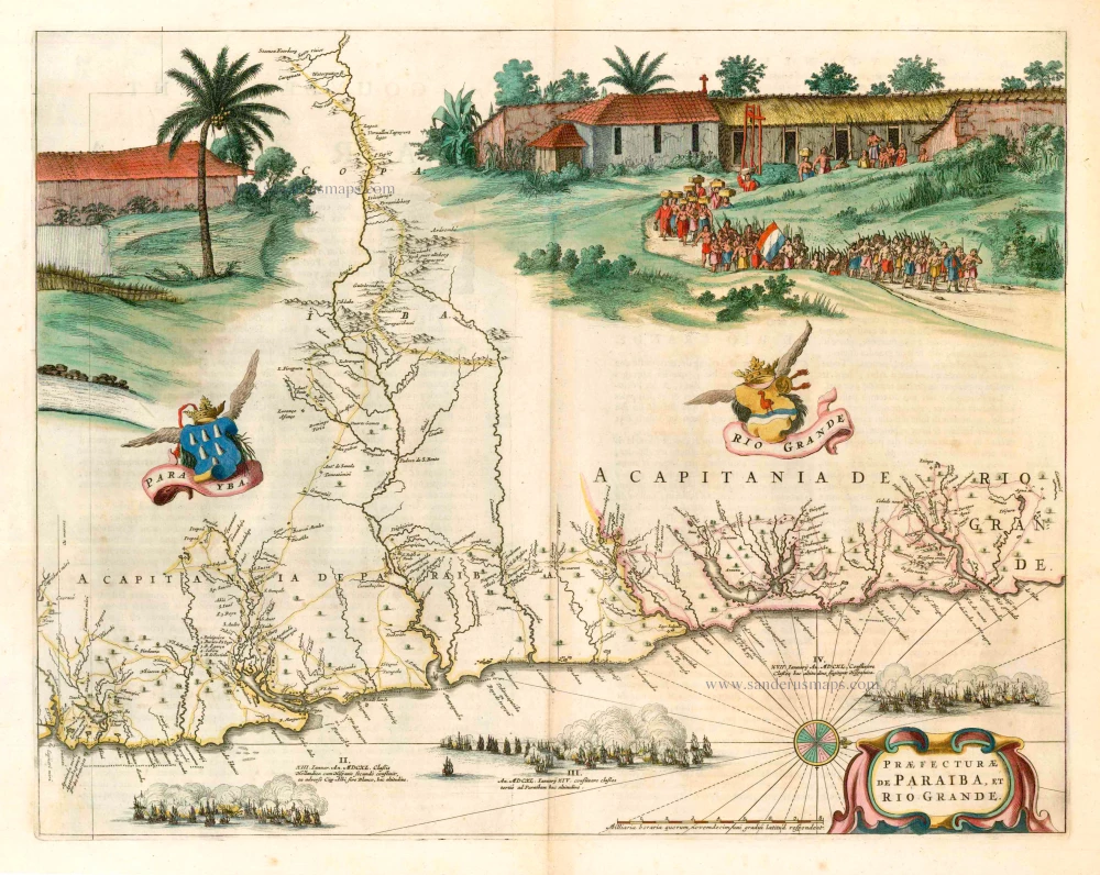
Praefecturae de Paraiba, et Rio Grande. 1663
Brazil - Paraiba, by Joan Blaeu.
[Item number: 25258]

Provincia de Brasil cum Adiacentibus Provinciis. 1630
Brazil, by Johannes de Laet.
[Item number: 25390]

Le Portugal. 1713
Portugal, by Pieter van der Aa.
[Item number: 26086]

Brasil. 1563
Brazil, by Ramusio G.B.
[Item number: 26186]
Brasilia. 1607
Brazil, by C. van Wytfliet.
[Item number: 26509]

With cannibals
Brasilia. 1602
Brazil by Langenes, published by Bertius P.
[Item number: 26537]

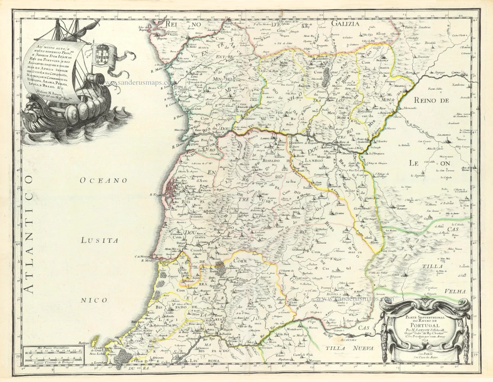
Partie Septentrionale du Royaume de Portugal. 1776-79
Northern Portugal, by Francesco Santini.
[Item number: 26951]

Partie Méridional du Royaume de Portugal. 1776-79
Southern Portugal, by Francesco Santini.
[Item number: 26952]

Portugallia et Algarbia quae olim Lusitania. 1638
Portugal by Matthäus Merian
[Item number: 27797]

Brasil Nuova Tavola. 1598
Brazil by Girolamo Ruscelli.
[Item number: 28430]

Rare
Nieuwe Perfecte Caert van 't Coningrijk Poortugael en Algarve. 1656-80
Portugal by Justus Danckerts.
[Item number: 28603]
Parte Septentrional do Reyno de Portugal. 1658
Northern Portugal by Nicolas Sanson.
[Item number: 29663]

Parte Septentrional do Reyno de Portugal. 1658
Southern Portugal by Nicolas Sanson.
[Item number: 29664]

Brasilia. 1645
Brazil, by Joan Blaeu.
[Item number: 29707]
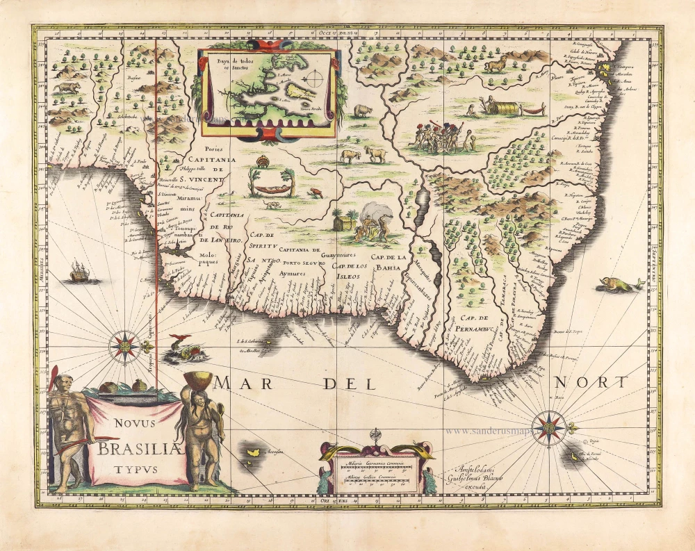
Novus Brasiliae Typus. c. 1640
Brazil, by Willem Blaeu.
[Item number: 29848]
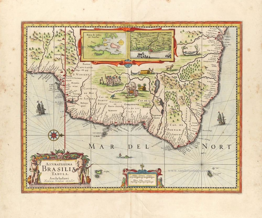
Accuratissima Brasiliae Tabula. 1638
Brazil by Henricus Hondius.
[Item number: 29851]
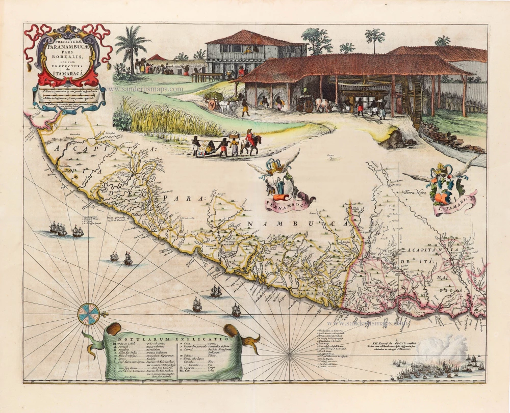
Praefecturae Paranambucae, pars Borealis, una cum Praefectura de Itâmarcâ. 1663
Brazil - Pernambuco (North) by Joan Blaeu.
[Item number: 30149]

Portugalliae que olim Lusitania, novissima et exactissima descriptio, c. 1610-1650
Portugal, by Jodocus Hondius.
[Item number: 30921]

Portugallia. 1618
Portugal by Petrus Bertius, published by Jodocus Hondius II.
[Item number: 31545]

Rio Iavero 1631
Rio De Janeiro by de Bry Theodore, published by J.L. Gottfried.
[Item number: 32443]

The Fleet of Joris van Spilbergen reaching Brazil
St Vincent 1631
Sao Vicente, by de Bry Theodore, published by J.L. Gottfried.
[Item number: 32444]