
Brazil, by Johannes de Laet. 1630

Considerable effort went into making the text and maps of this work the most accurate available at the time. It is arguably the finest description of the Americas published in the seventeenth century. The exhaustive research involved de Laet reading all of the published and manuscript material that he could find. For the cartographic work he had much to call on, being a director of the recently formed Dutch West India Company in charge of all Dutch interests in America and Africa. He therefore had access to the latest geographic knowledge. He also drew upon the fine talents of Hessel Gerritsz, the official cartographer to the Dutch East India Company since 1617. This was a post he attained before Willem Blaeu under whom he was apprenticed, and who was his senior by ten years. The maps were some of the first to depart from the heavier style of the Mercator and Ortelius period. This more open style of engraving was one that both Blaeu and Janssonius would develop in their atlases. The first edition of the book in 1625 contained ten maps which concentrated on South America. Since then the Dutch had taken considerable interest in New Amsterdam (New York), and the work was expanded by some 100 pages and four newly engraved maps. (Burden)
Provincia de Brasil cum Adiacentibus Provinciis.
Item Number: 25390 Authenticity Guarantee
Category: Antique maps > America > South America
Old, antique map of Brazil by J. de Laet, oriented to the West
Cartographer: Hessel Gerritsz
Date of the first edition: 1625
Date of this map: 1630
Copper engraving
Size (not including margins): 28 x 36cm (10.9 x 14 inches)
Verso: Blank
Condition: Excellent.
Condition Rating: A+
From: Beschrijvinghe van West-Indien. Leiden, 1630.
Considerable effort went into making the text and maps of this work the most accurate available at the time. It is arguably the finest description of the Americas published in the seventeenth century. The exhaustive research involved de Laet reading all of the published and manuscript material that he could find. For the cartographic work he had much to call on, being a director of the recently formed Dutch West India Company in charge of all Dutch interests in America and Africa. He therefore had access to the latest geographic knowledge. He also drew upon the fine talents of Hessel Gerritsz, the official cartographer to the Dutch East India Company since 1617. This was a post he attained before Willem Blaeu under whom he was apprenticed, and who was his senior by ten years. The maps were some of the first to depart from the heavier style of the Mercator and Ortelius period. This more open style of engraving was one that both Blaeu and Janssonius would develop in their atlases. The first edition of the book in 1625 contained ten maps which concentrated on South America. Since then the Dutch had taken considerable interest in New Amsterdam (New York), and the work was expanded by some 100 pages and four newly engraved maps. (Burden)
Related items
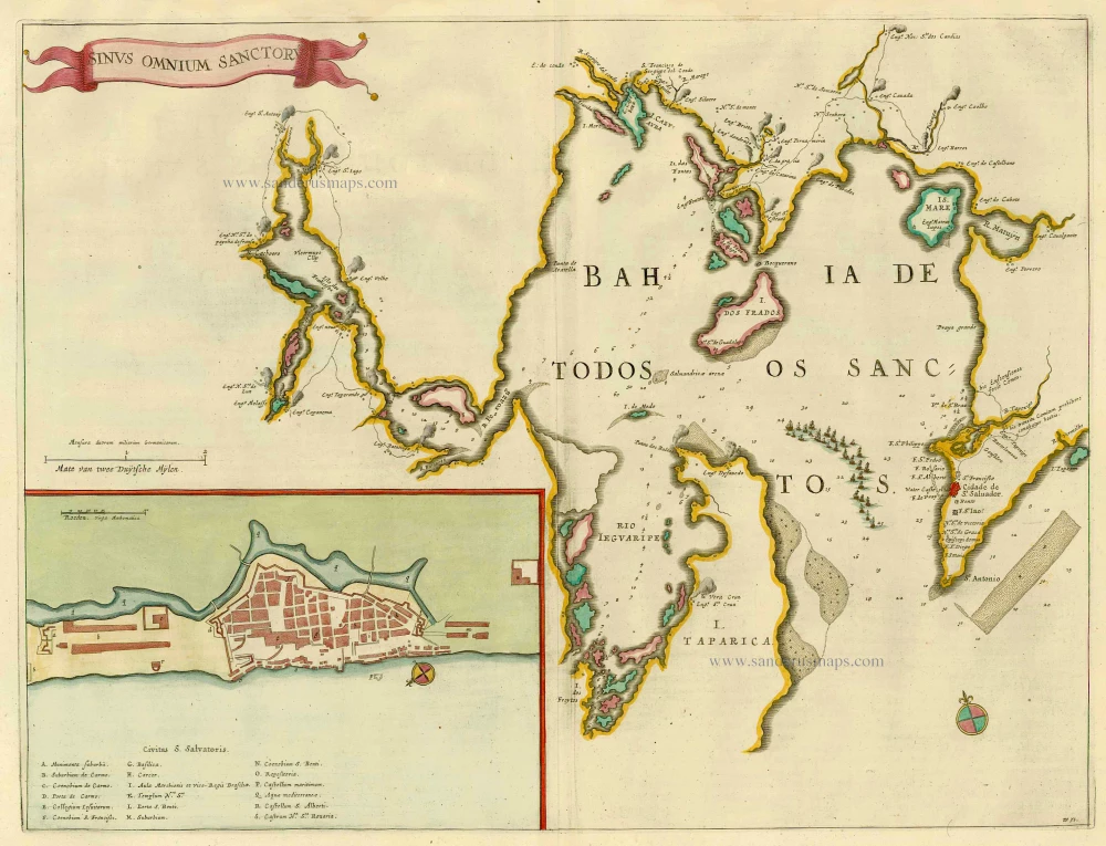
Sinus Omnium Sanctoru. 1664-65
Bahia de Todos los Sanctos, by J. Blaeu.
[Item number: 21226]
Important map in excellent condition
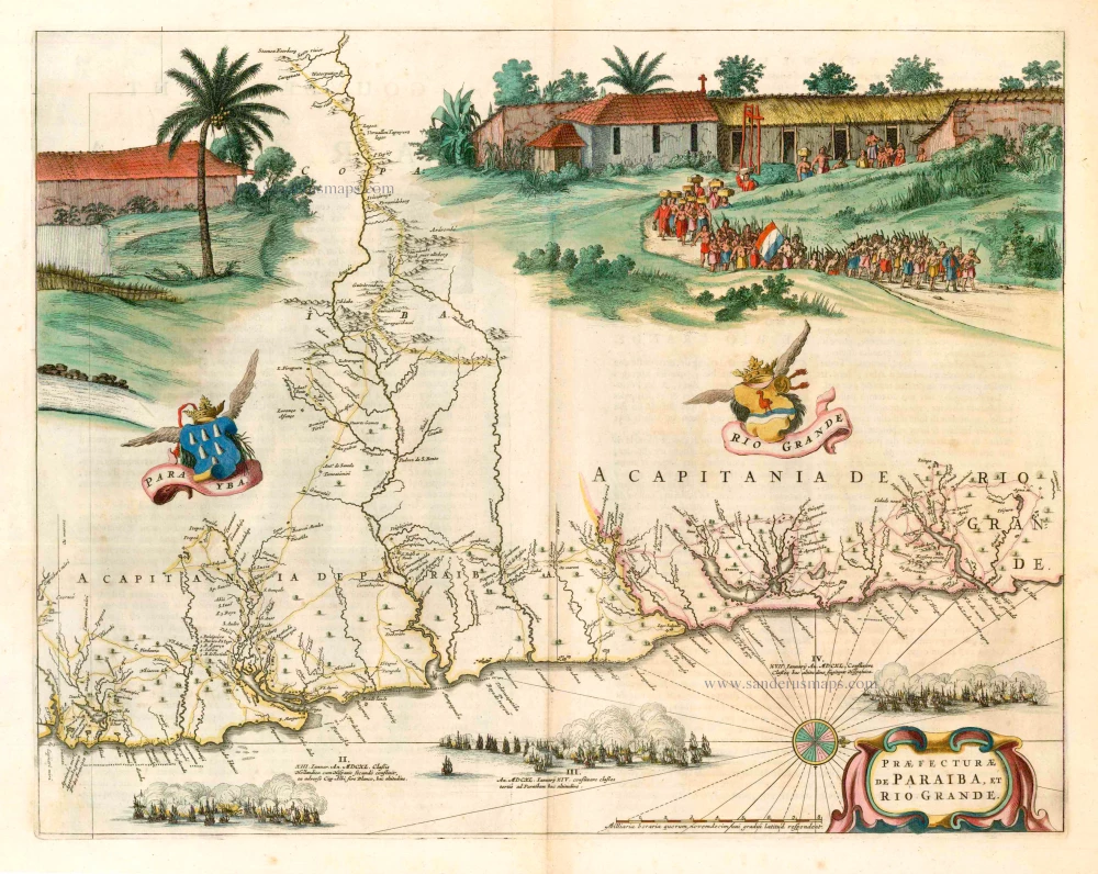
Praefecturae de Paraiba, et Rio Grande. 1663
Brazil - Paraiba, by Joan Blaeu.
[Item number: 25258]

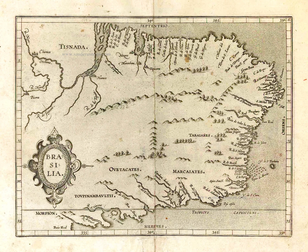
Brasil. 1563
Brazil, by Ramusio G.B.
[Item number: 26186]
Brasilia. 1607
Brazil, by C. van Wytfliet.
[Item number: 26509]

With cannibals
Brasilia. 1602
Brazil by Langenes, published by Bertius P.
[Item number: 26537]

Brasil Nuova Tavola. 1598
Brazil by Girolamo Ruscelli.
[Item number: 28430]

Brasilia. 1645
Brazil, by Joan Blaeu.
[Item number: 29707]
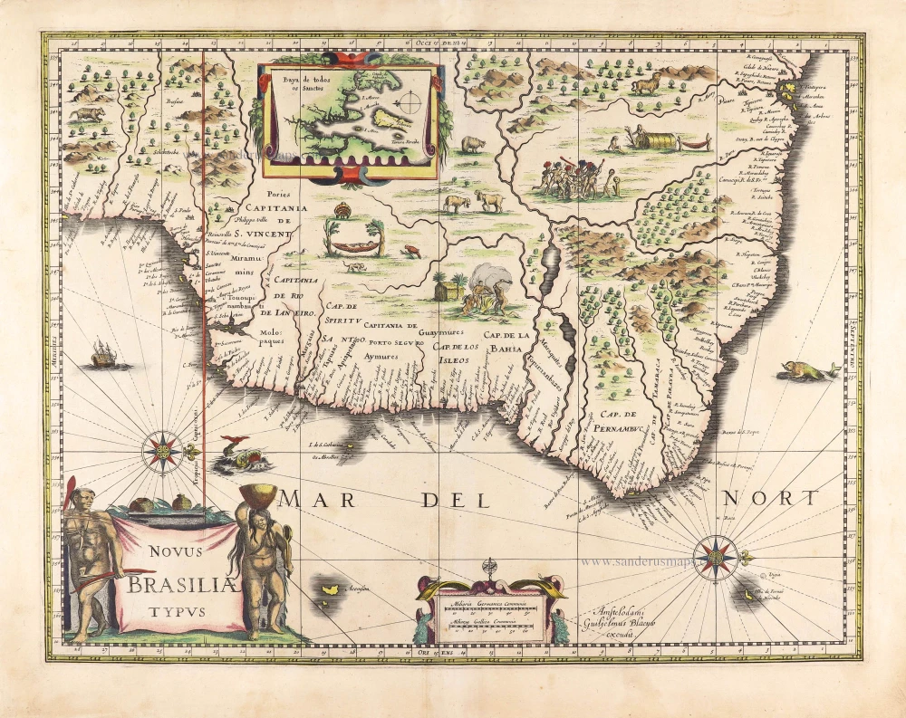
Novus Brasiliae Typus. c. 1640
Brazil, by Willem Blaeu.
[Item number: 29848]
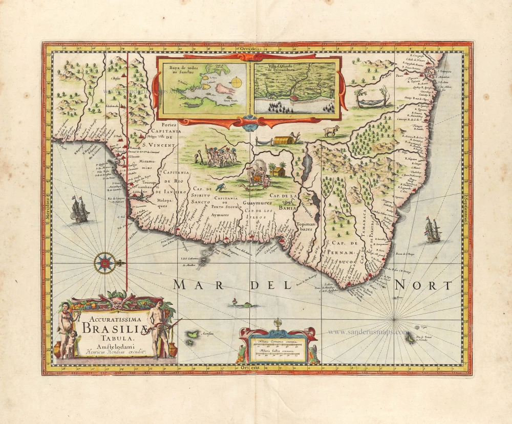
Accuratissima Brasiliae Tabula. 1638
Brazil by Henricus Hondius.
[Item number: 29851]
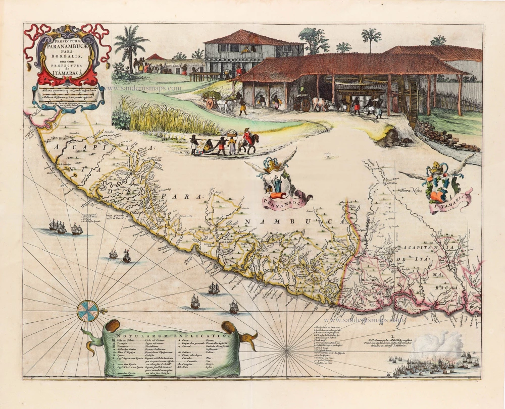
Praefecturae Paranambucae, pars Borealis, una cum Praefectura de Itâmarcâ. 1663
Brazil - Pernambuco (North) by Joan Blaeu.
[Item number: 30149]

Unrecorded view of Pernambuco (Brazil) by Carel Allard
Paranbuca. 1673
View of Pernambuco (Brazil) by Carel Allard.
[Item number: 30558]

Portugalliae et Algarbiae cumfinitimis Hispaniae Regnis: Castiliae, Legionis, Andalusiae, Extrematurae, Galliciae & Granatae Novissima Tabula c. 1720
Portugal & Brazil, by J.B. Homann.
[Item number: 32161]

Rio Iavero 1631
Rio De Janeiro by de Bry Theodore, published by J.L. Gottfried.
[Item number: 32443]

The Fleet of Joris van Spilbergen reaching Brazil
St Vincent 1631
Sao Vicente, by de Bry Theodore, published by J.L. Gottfried.
[Item number: 32444]
Brasilia. 1618
Brazil by Petrus Bertius.
[Item number: 33184]
new