
Rare variant.
World map by H. Bünting - D.A. Veleslavina. 1592

This derivate of Büntings second world map comes from a Czech translation of Büntings Itinerarium Sacrae Scriptura, translated by Daniel Adam Veleslavina (1546-1599 - Czech humanist) and published in Prague in 1592. The map is different from the first woodblock. Among others, there is a different monster in the Indian Ocean. Shirley mentions the existence of other woodblocks but seems not to have seen one.
Heinrich Bünting (Hannover, 1545-1606)
Heinrich Bünting was a protestant pastor and theologian. He was also a brewer in Hannover, and he was concerned with history and wrote a Braunschweigische Chronica in 1584. His main work was the popular Itinerarium Sacrae Scripturae, which after the first edition in Magdeburg in 1581 had many editions in German, Latin, Dutch, Swedish, Danish, Czech and English.
The book gave an overview of biblical geography based on the travel descriptions of various notable people from the Old and New Testaments. It contained ten woodcut maps, including three figurative maps: the world depicted as a cloverleaf with Jerusalem in the centre, Europe in the shape of a crowned woman, and Asia as the winged horse Pegasus.
Cosmographia Universalis.
Item Number: 26356 Authenticity Guarantee
Category: Antique maps > World and Polar
Old, antique world map by H. Bünting - D.A. Veleslavina.
Title: Cosmographia Universalis.
Date of the first edition: 1592.
Date of this map: 1592.
Copper engraving, printed on paper.
Size (not including margins): 270 x 370mm (10.63 x 14.57 inches).
Verso: Czech text.
Condition: New side margins, lower margin thumbed.
Condition Rating: A
From: Czech translation of Bünting's "Itinerarium sacrae Scripturae". 1592
This derivate of Büntings second world map comes from a Czech translation of Büntings Itinerarium Sacrae Scriptura, translated by Daniel Adam Veleslavina (1546-1599 - Czech humanist) and published in Prague in 1592. The map is different from the first woodblock. Among others, there is a different monster in the Indian Ocean. Shirley mentions the existence of other woodblocks but seems not to have seen one.
Heinrich Bünting (Hannover, 1545-1606)
Heinrich Bünting was a protestant pastor and theologian. He was also a brewer in Hannover, and he was concerned with history and wrote a Braunschweigische Chronica in 1584. His main work was the popular Itinerarium Sacrae Scripturae, which after the first edition in Magdeburg in 1581 had many editions in German, Latin, Dutch, Swedish, Danish, Czech and English.
The book gave an overview of biblical geography based on the travel descriptions of various notable people from the Old and New Testaments. It contained ten woodcut maps, including three figurative maps: the world depicted as a cloverleaf with Jerusalem in the centre, Europe in the shape of a crowned woman, and Asia as the winged horse Pegasus.
Related items

Orbis Vetus in utraque Continente juxta Mentem Sansonianam Distinctus, nec non Observationibus Astronomicis Redactus ... c. 1757
The world by Robert de Vaugondy.
[Item number: 5092]
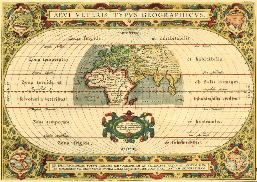
Aevi Veteris, Typus Geographicus 1595
Old, antique map of Ancient World by Ortelius A.
[Item number: 6684]
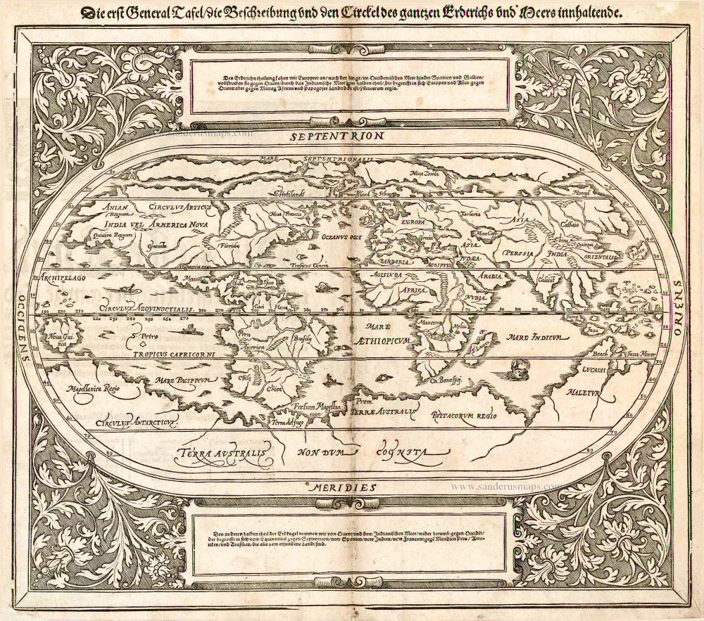
Die erst General Tafel / die Beschreibung und den Circkel des gantzen Erdtrichs und Meers innhaltende. 1588
World by Sebastian Münster.
[Item number: 25622]

Universi Orbis Descriptio. 1597
World by Giovanni Magini
[Item number: 27837]
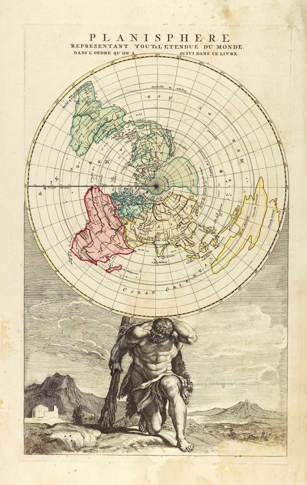
Planisphere representant toute l'Etendue du Monde, dans l'ordre qu'on a suivi dans ce livre. 1792
World in north polar azimuthal projection.
[Item number: 28810]
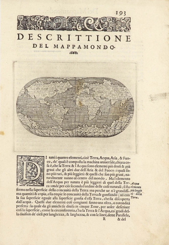
Descrittione Del Mappamondo. 1572
World by Porcacchi Tommaso.
[Item number: 28910]

Planiglobii Terrestris cum Utroq Hemisphaerio Caelesti Generalis Repraesentatio. c. 1720
World by Homann J.B., double hemisphere.
[Item number: 29066]

Mapmonde ou description generale du Globe Terrestre. 1713
World map by Zacharias Châtelain.
[Item number: 29555]
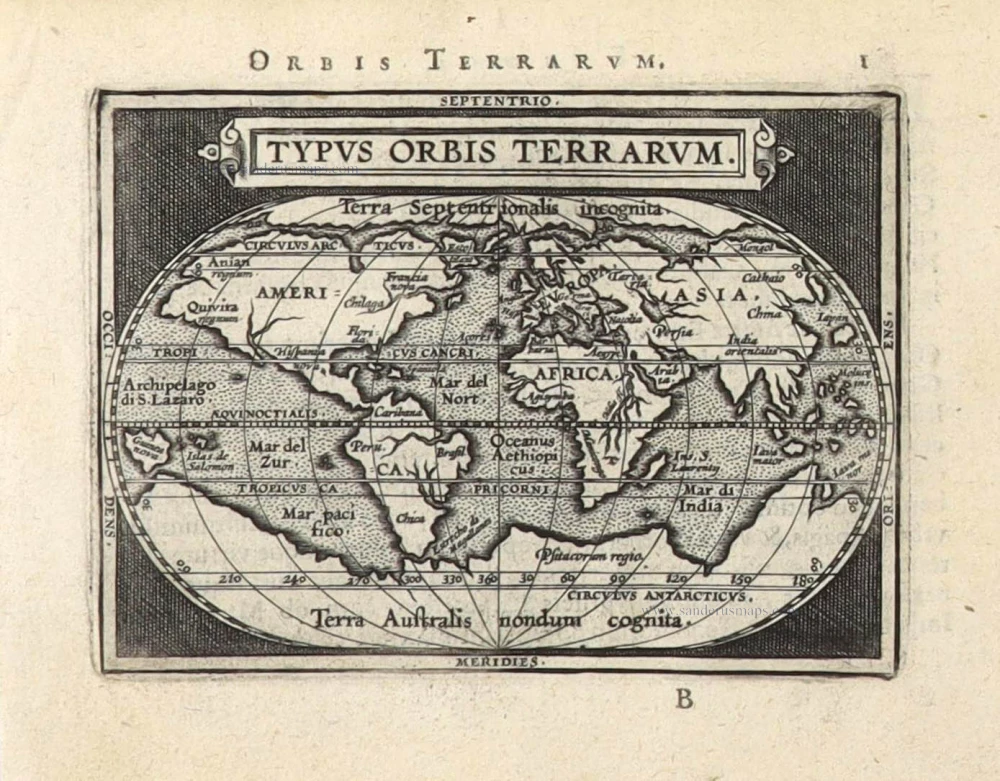
Typus Orbis Terrarum. 1589
The world by Abraham Ortelius / Philippe Galle.
[Item number: 29605]
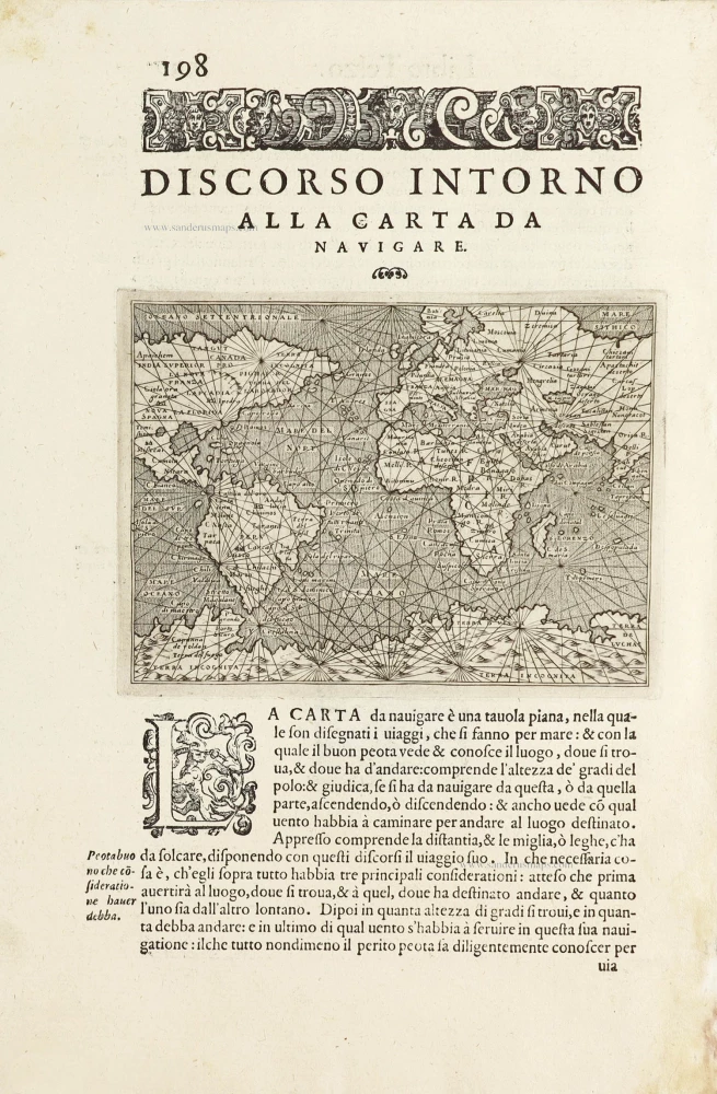
Discorso Intorno alla Carta da Navigare. 1590
World, by Thomaso Porcacchi.
[Item number: 29786]
Rare original colour.
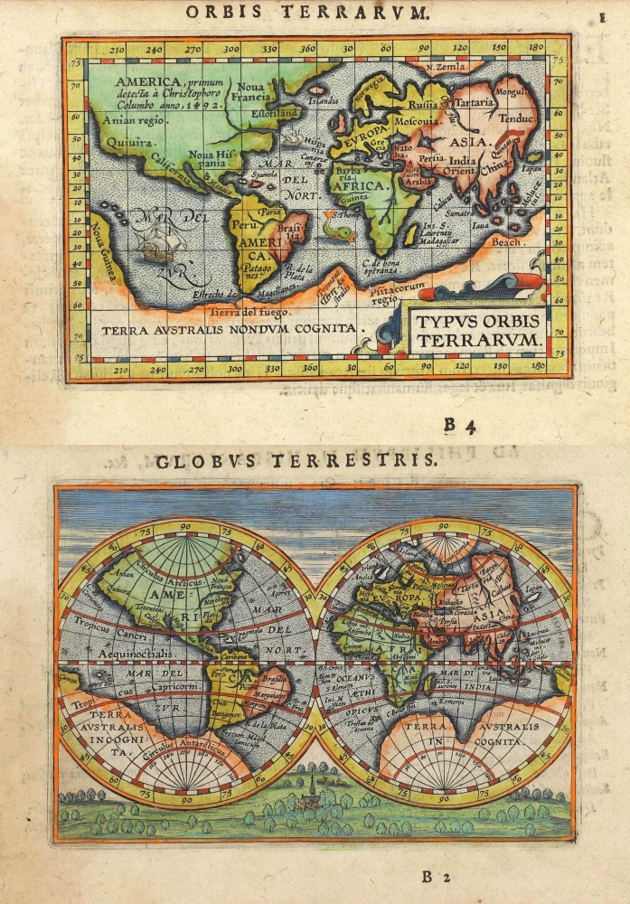
Typus Orbis Terrarum - Globus Terrestris. 1609
Two world maps by A. Ortelius, published by J.B. Vrients.
[Item number: 29861]

'One of the supreme examples of map maker's art' (Shirley)
Nova Totius Terrarum Orbis Geographica ac Hydrographica. 1643
World in Mercator projection, by Willem Blaeu.
[Item number: 30271]
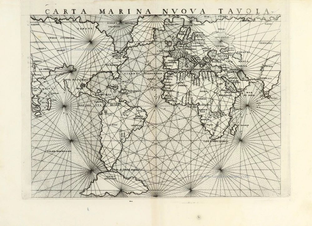
Carta Marina Nuova Tavola. 1561
World chart by Girolamo Ruscelli.
[Item number: 30380]
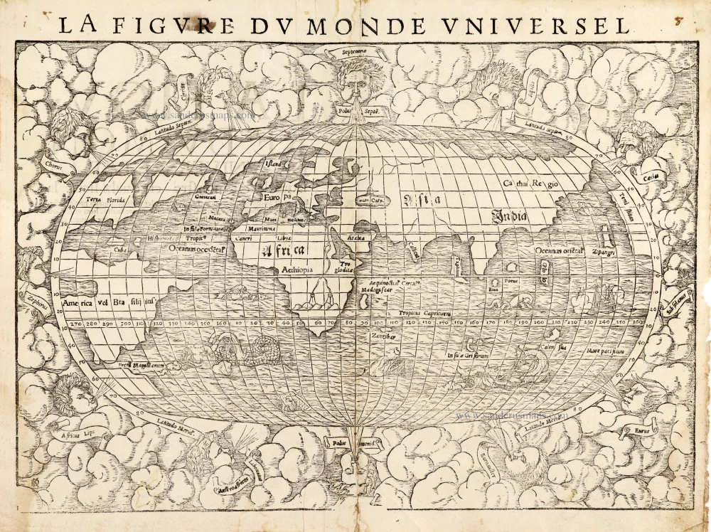
La Figure du Monde Universel 1568
Old antique map of the World by Sebastian Münster
[Item number: 30533]
new